FSX Charlestown Naval Auxiliary Station Scenery
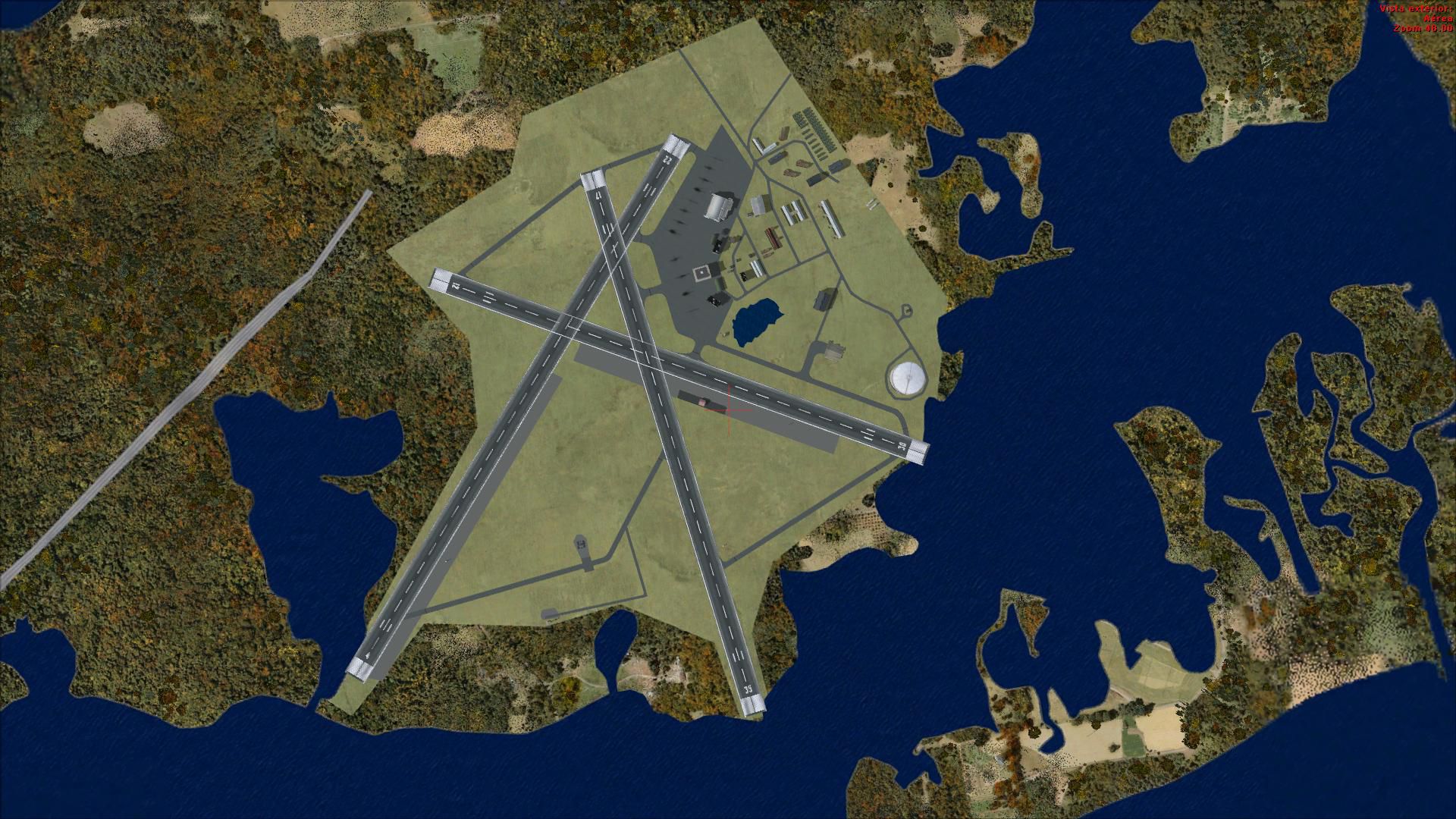
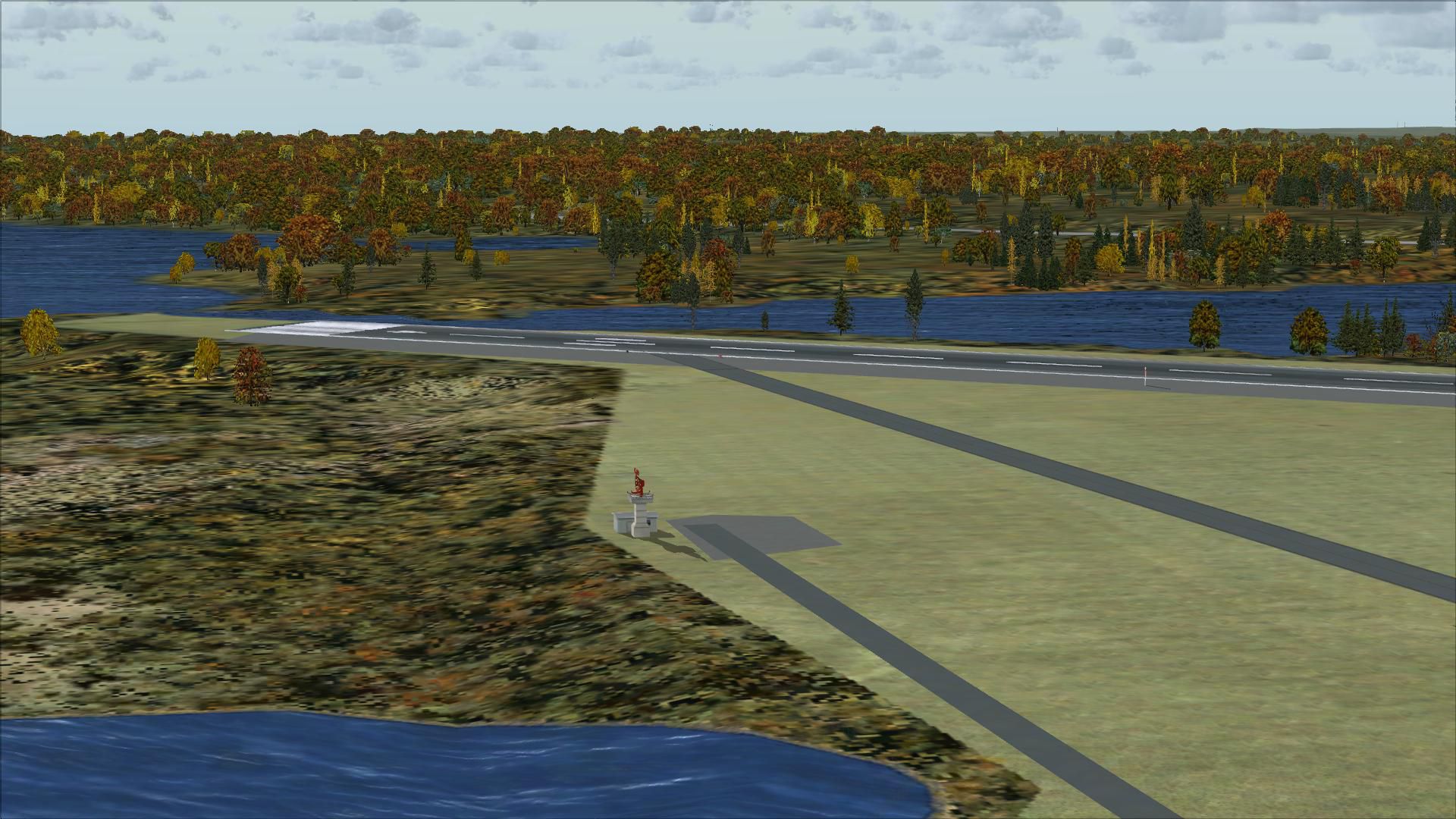
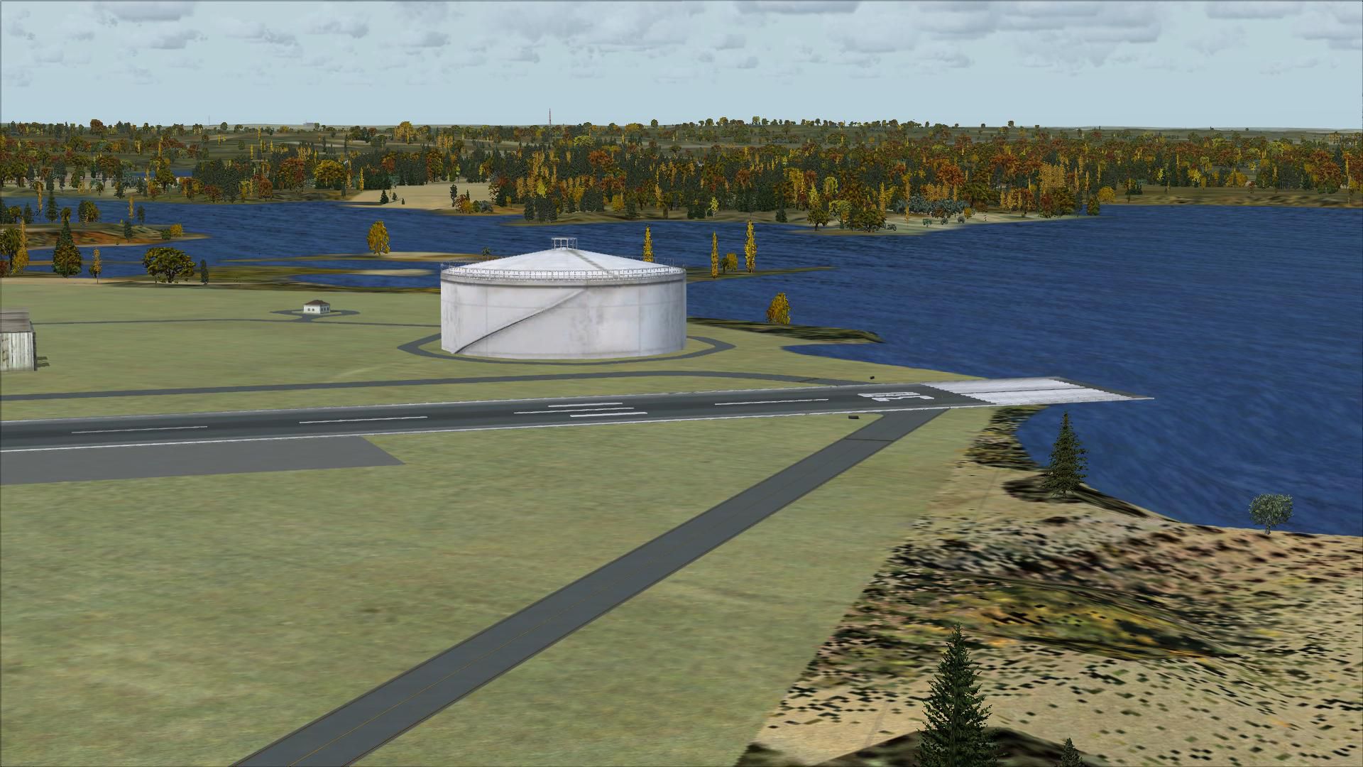
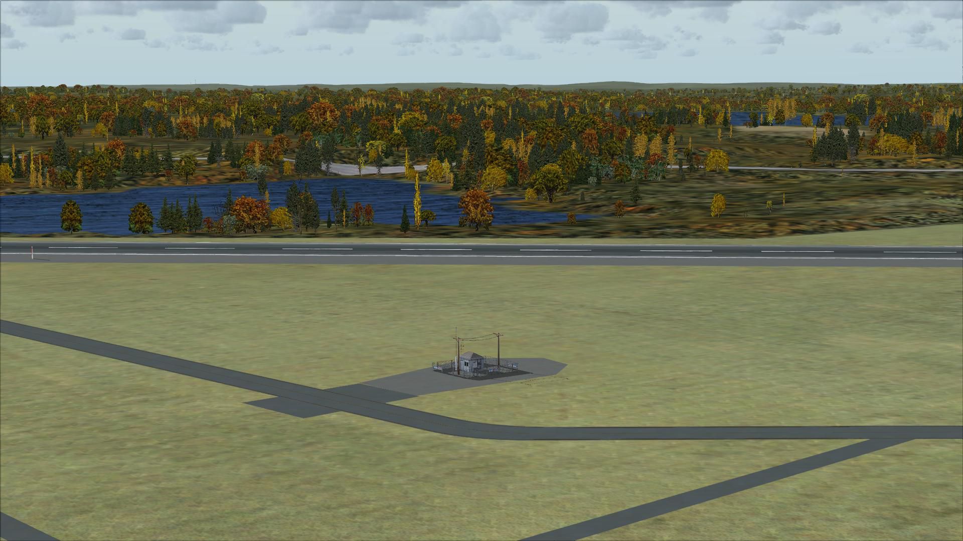
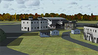
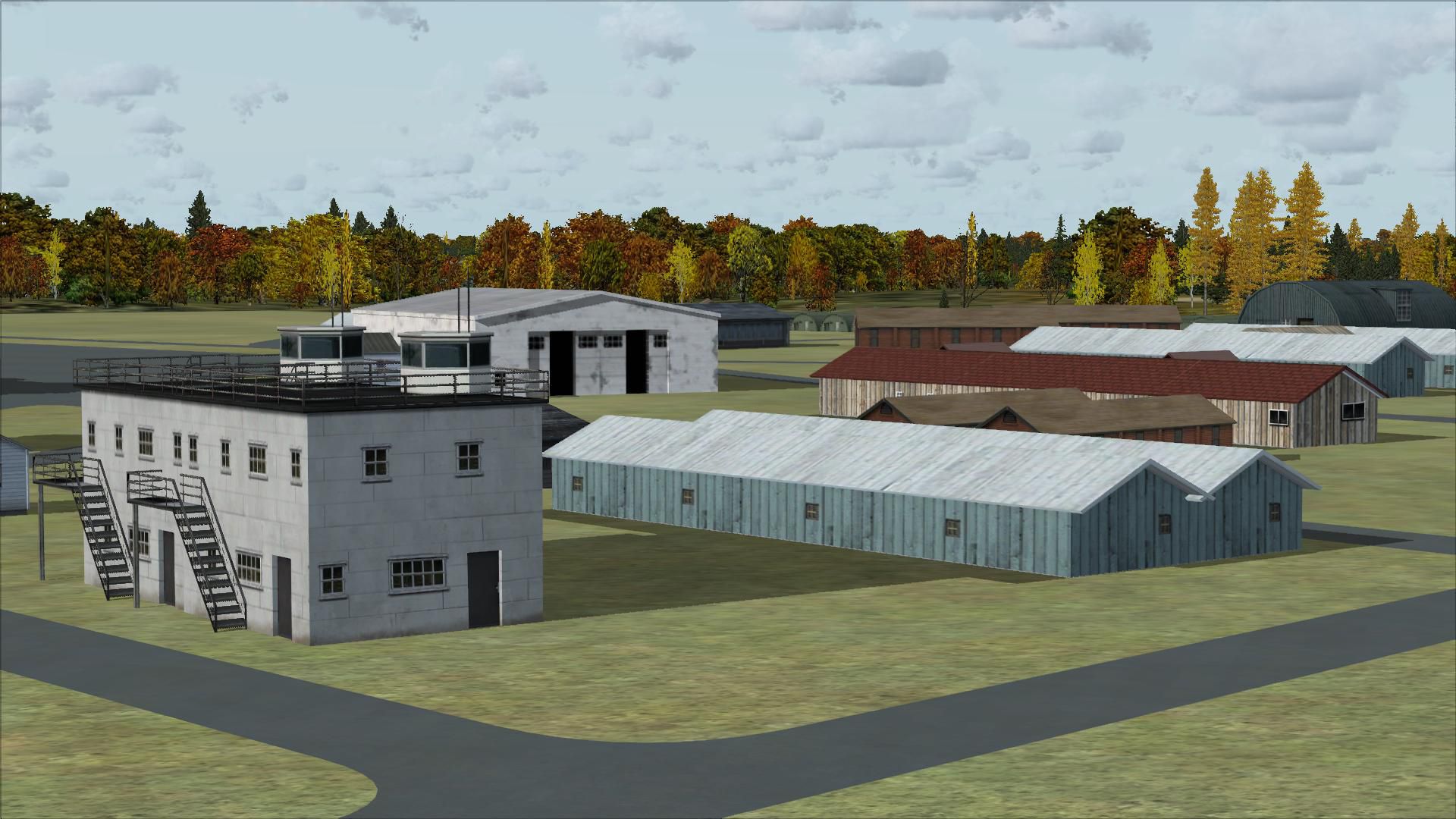
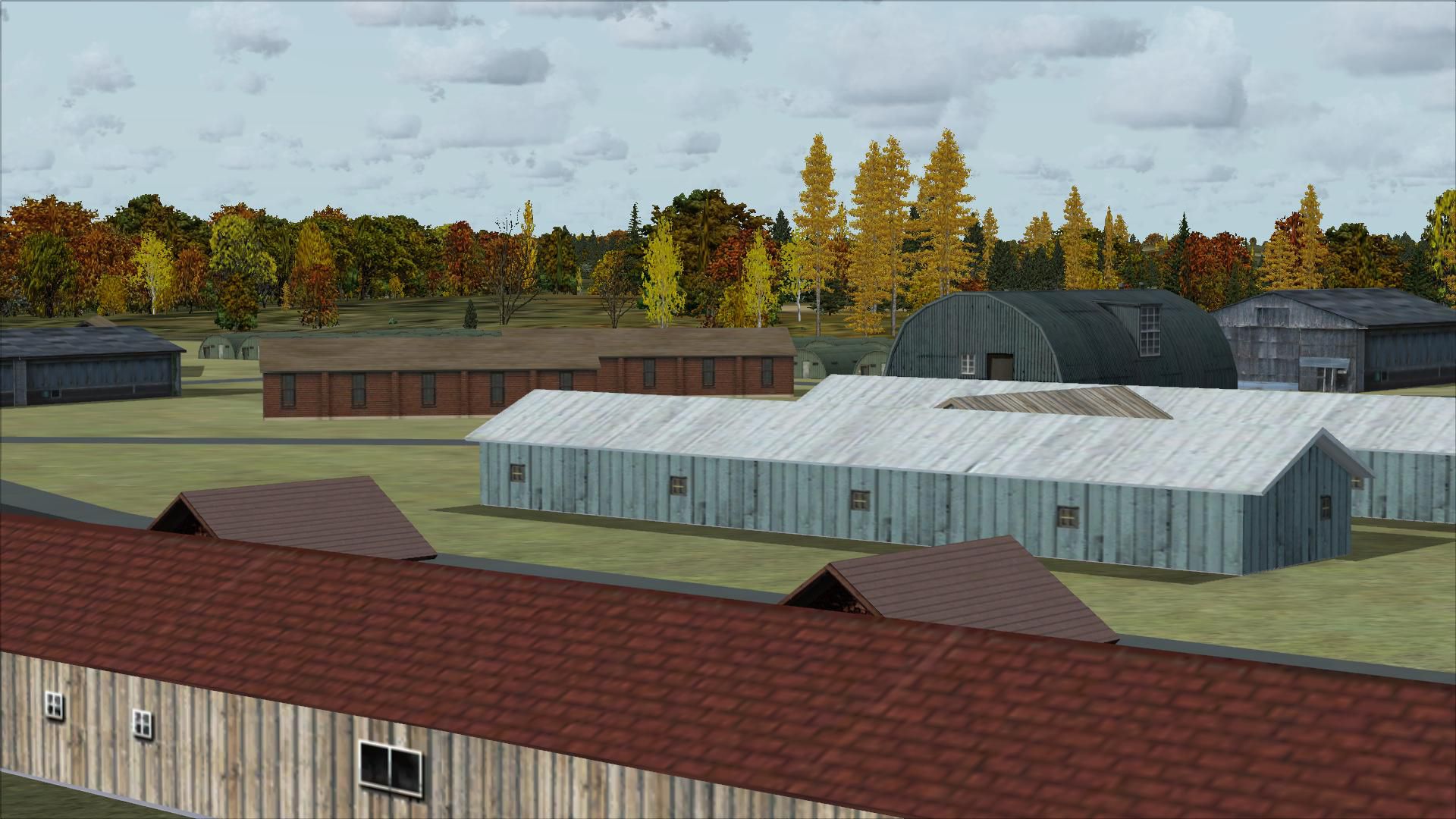
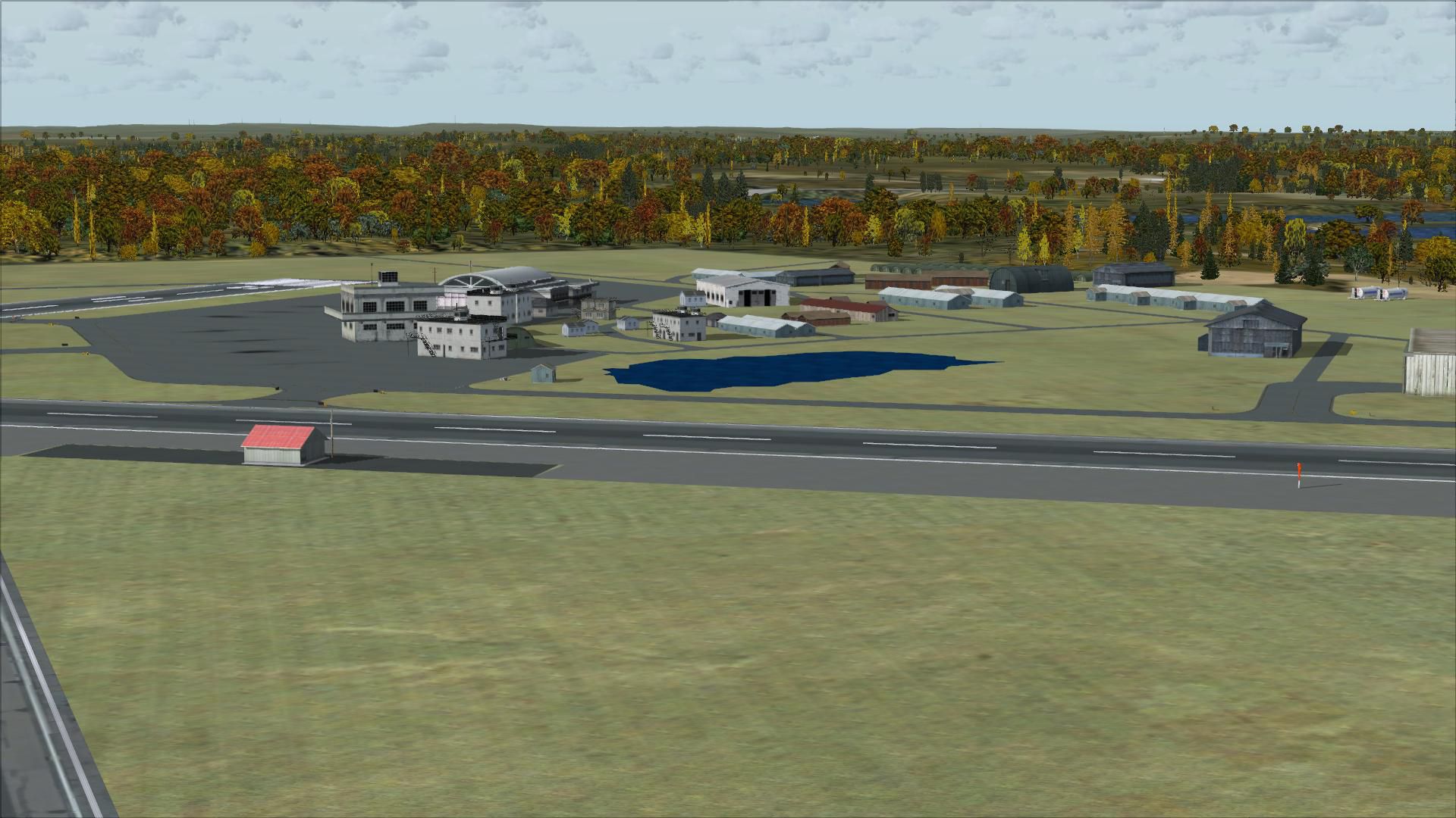
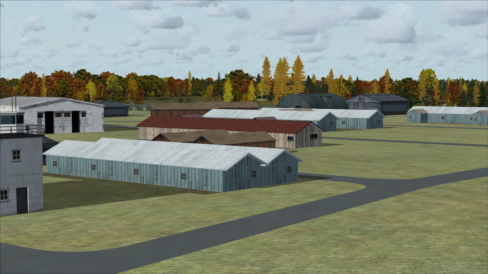
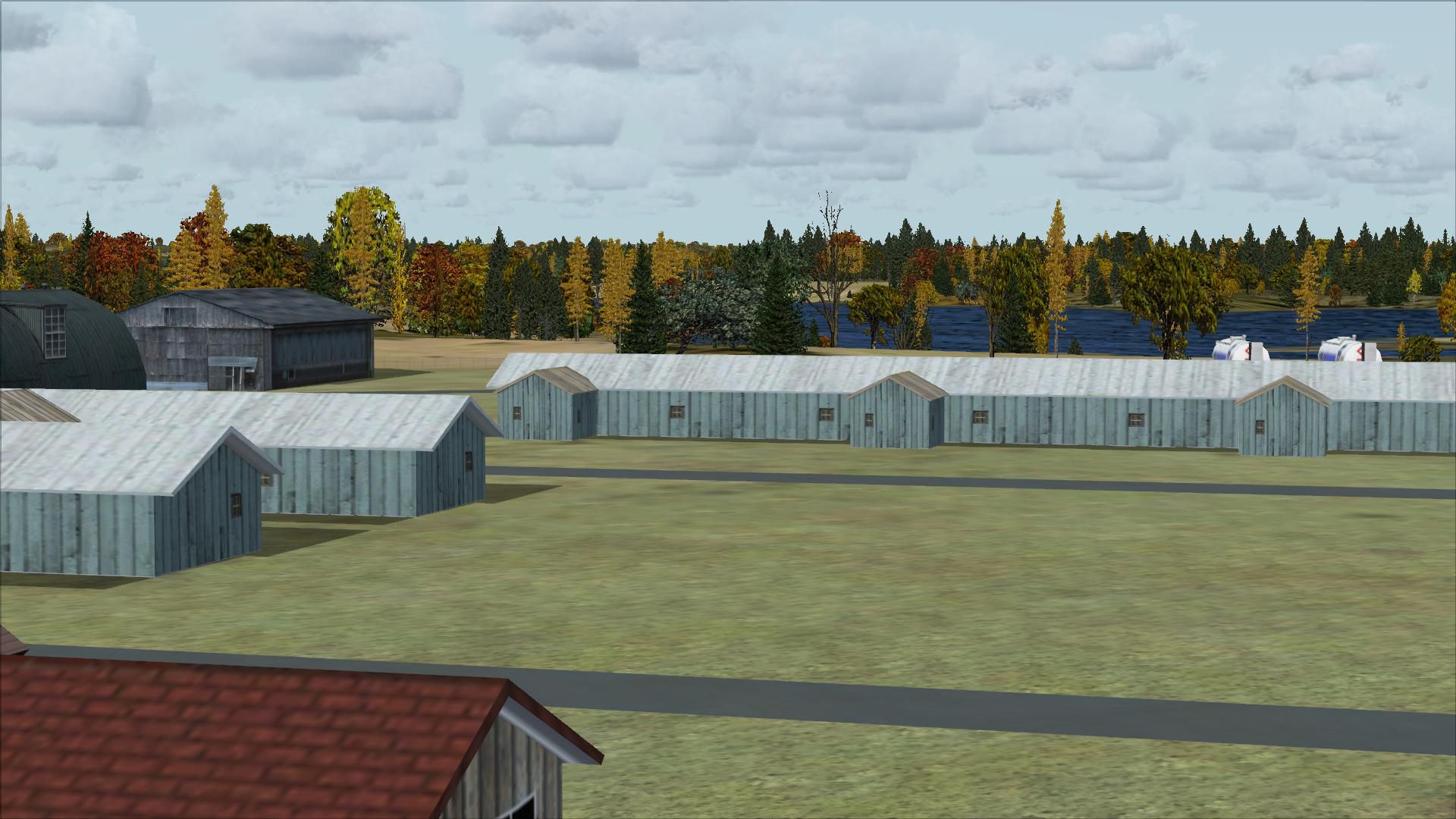
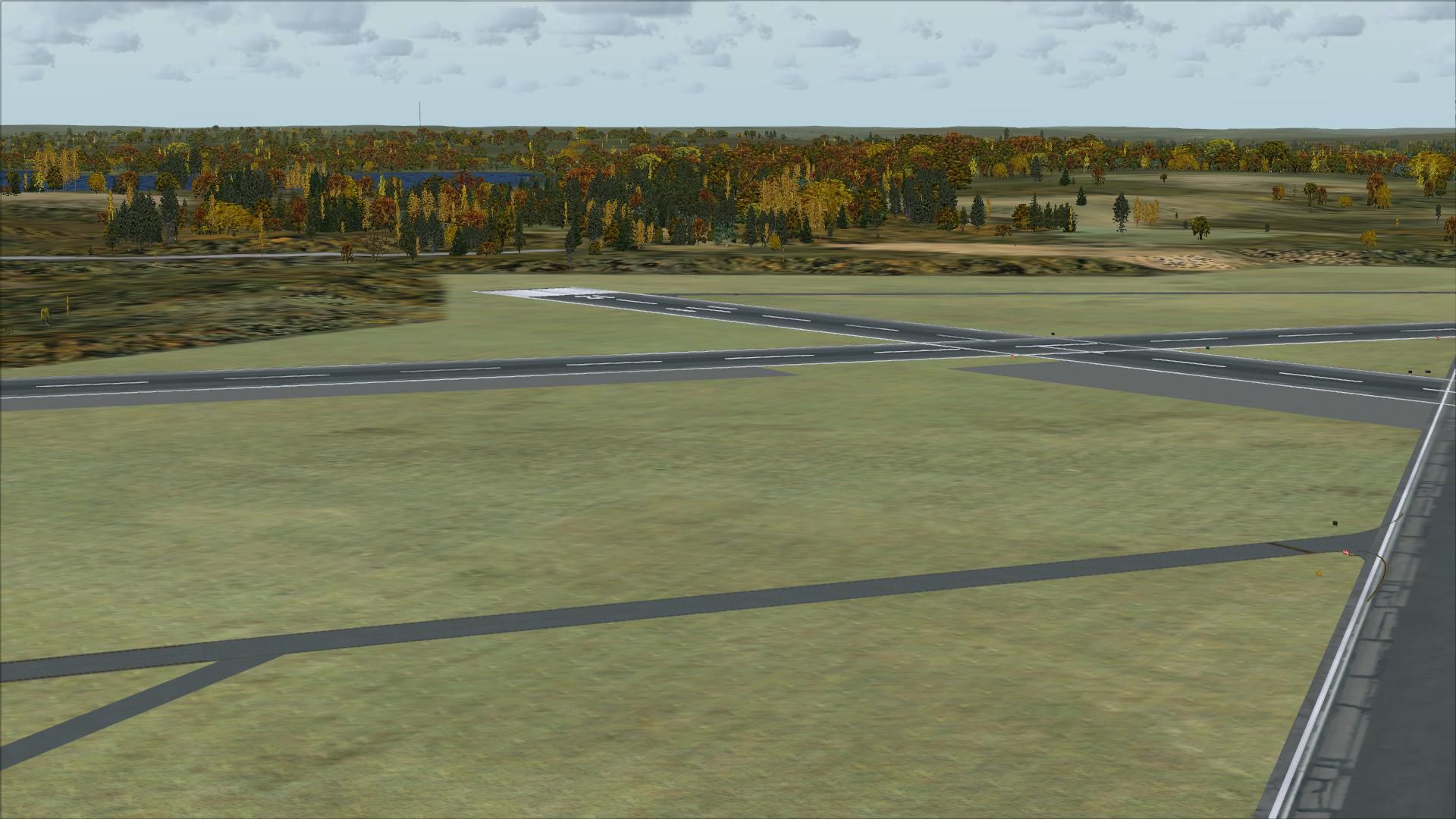
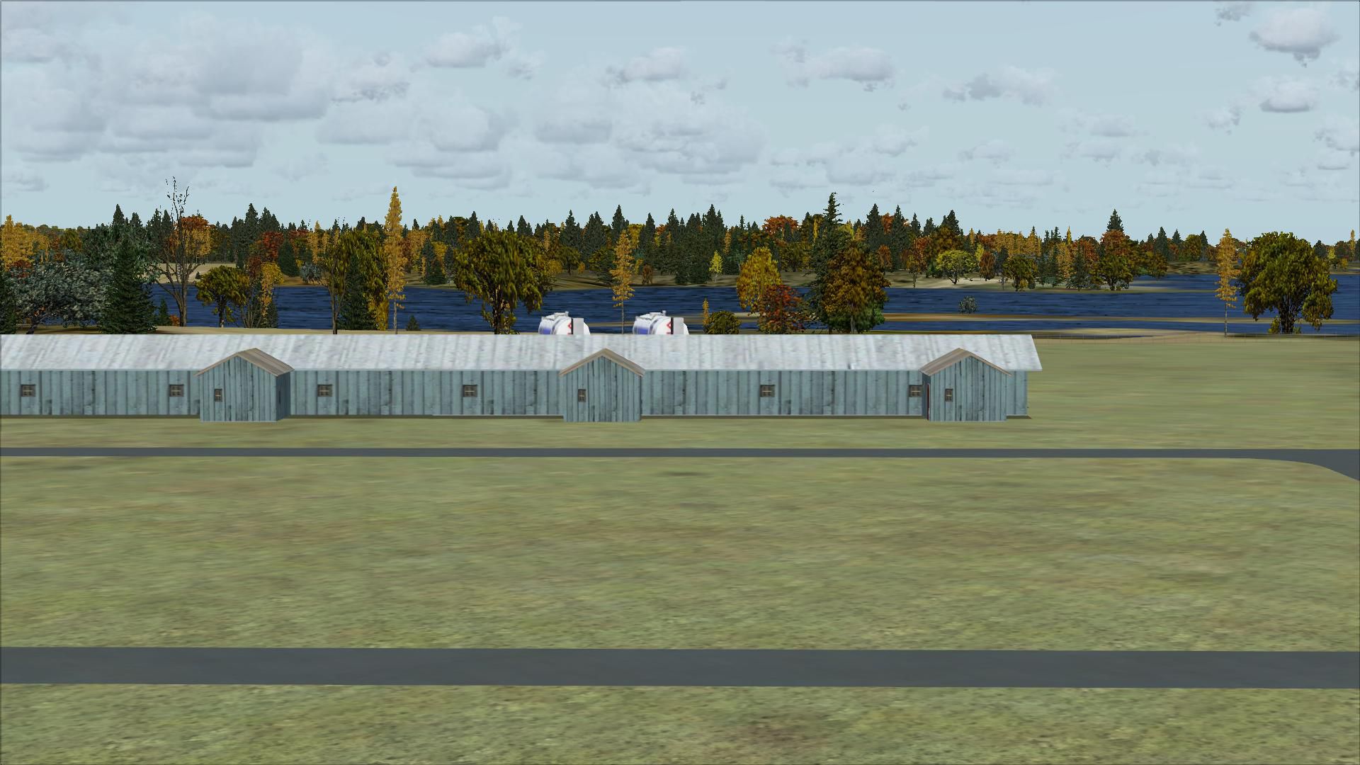
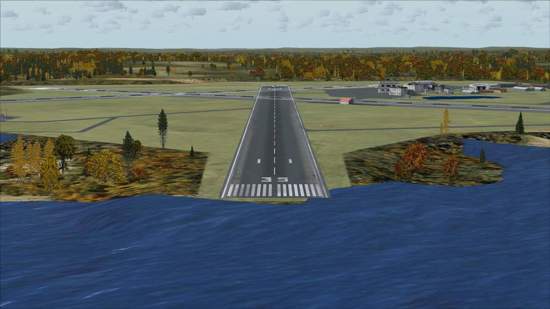
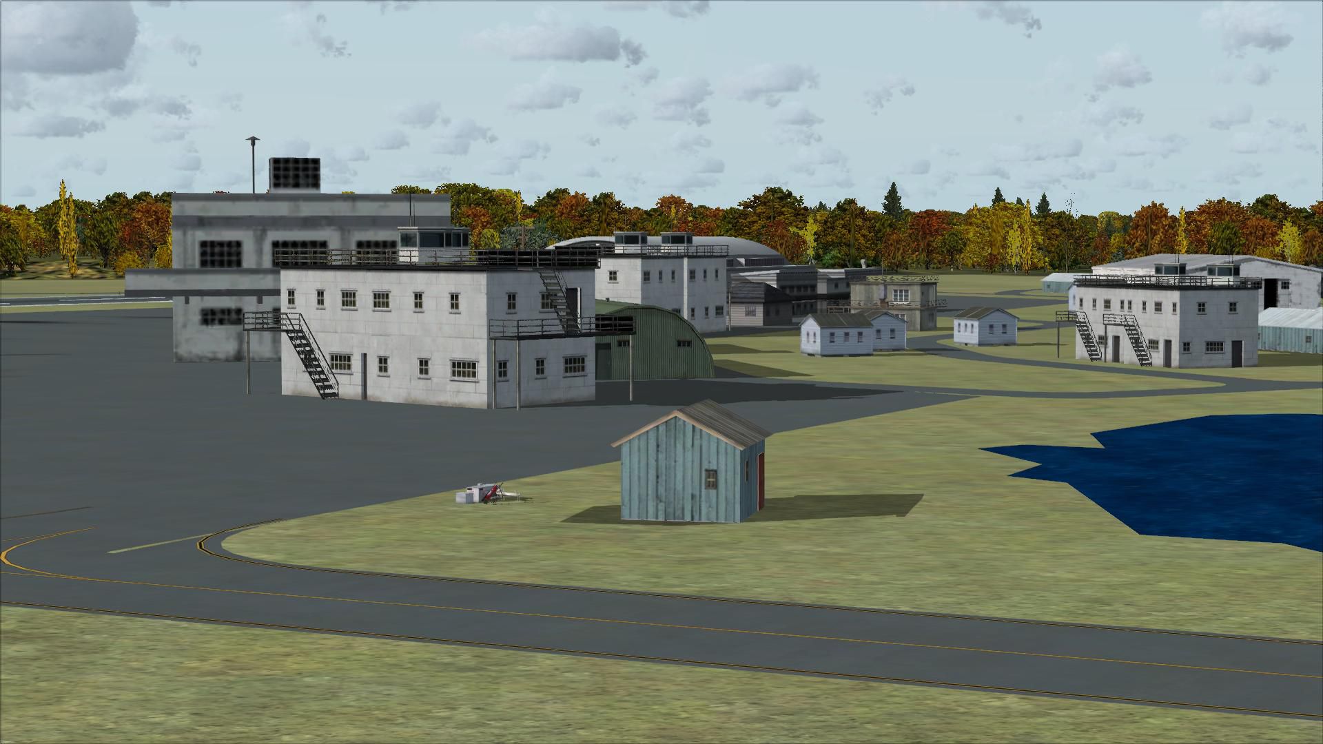
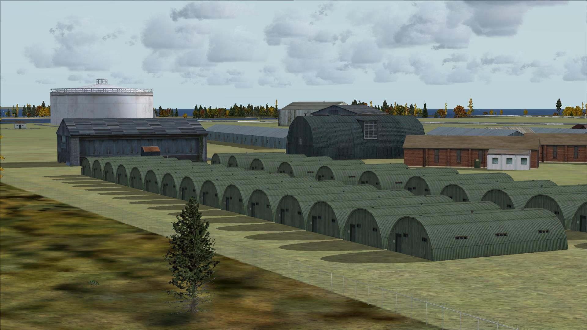
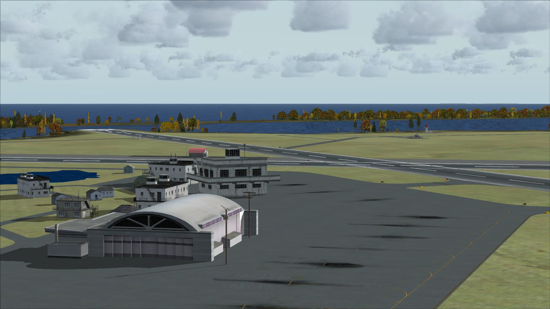
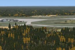
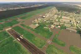
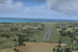
Charlestown Naval Auxiliary Air Station (KALF) scenery brings Rhode Island’s WWII-era training field back to life in FSX, reflecting its circa-1945 layout used by night fighter squadrons. Built from aerial and satellite references with Airport Design Editor, it restores runway geometry and airfield footprint within today’s Ninigret Park setting.

 United States of America
 - File: kalf.zip
- Size:5.14 MB
- Scan:
Clean (13d)

- Access:Freeware
- Content:Everyone
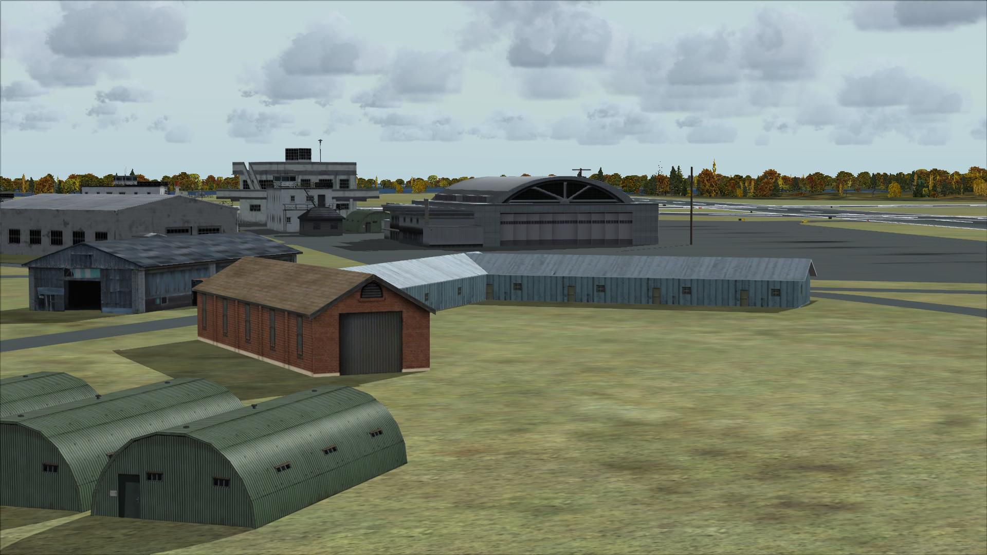
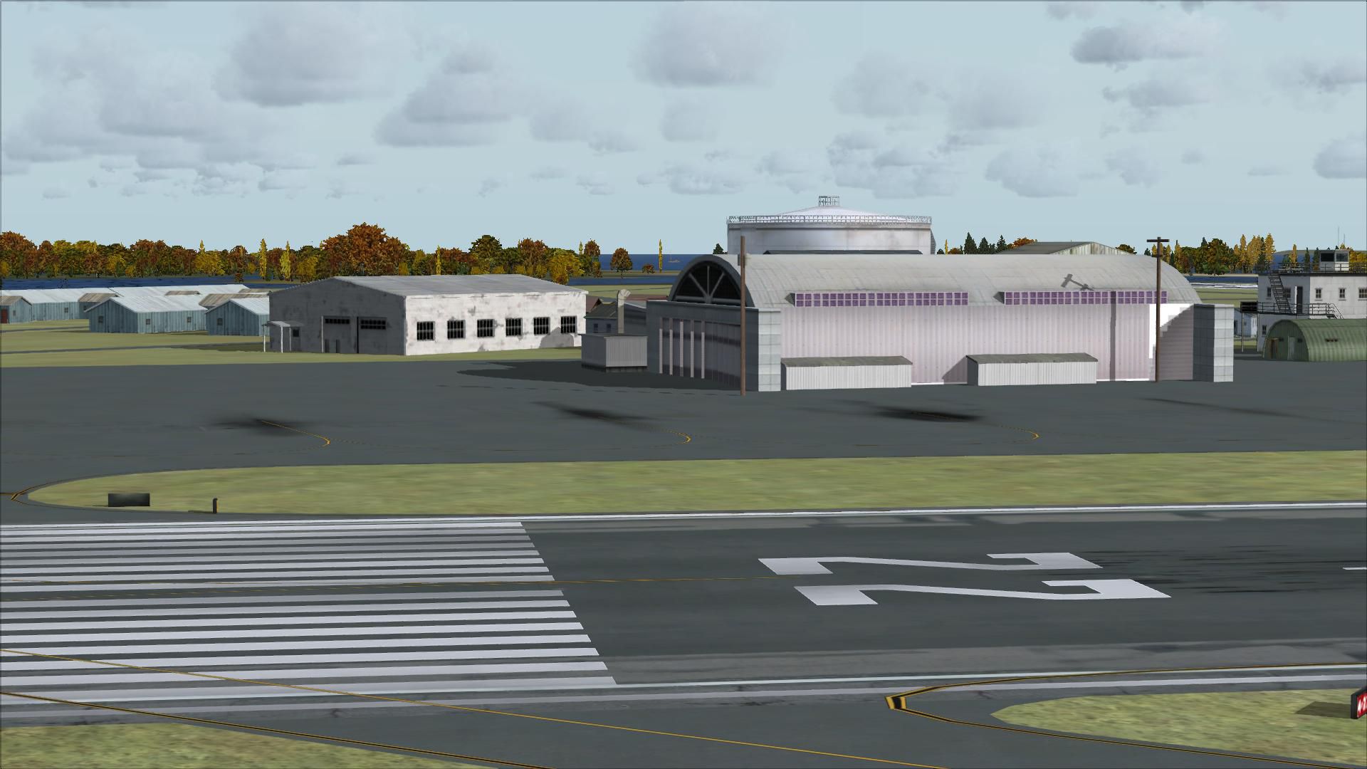
Charlestown Naval Auxiliary Air Station (KALF), RI. The Charlestown Naval Auxiliary Air Station (NAAS) was built by the Navy in 1942 in Charlestown, Rhode Island as a satellite to Quonset Naval Air Station. During World War II it was used to train night fighter squadrons on the F6F Hellcat and TBM Avenger.
 In the late 50s and early 60s, it was used by the Coast Guard and for drag racing. The Navy closed Charlestown in 1974.
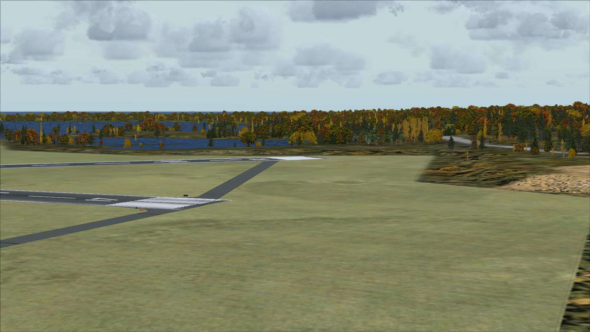
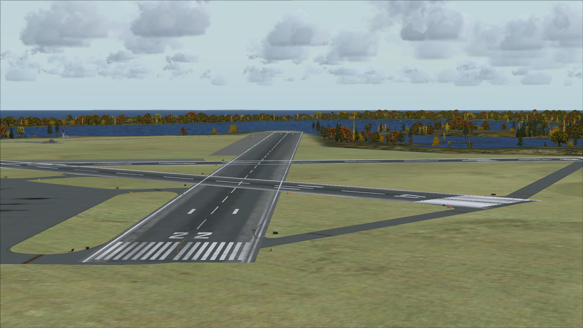
The Station is now part of Ninigret Park & Wildlife Refuge but the outlines of the runways can still be seen on satellite photos.
The model recreates Charlestown NAAS as it was about 1945.
Created by Fred Highland from aerial and satellite photos using Airport Design Editor.
Installation:
- Copy the KALF_ADE_FDH.BGL and KALF_ADE_FDH_CVX.BGL files to the C:\Program Files\Microsoft Games\Microsoft Flight Simulator X\Addon Scenery\scenery (or wherever Flight Simulator X is installed).
- Restart Flight Simulator.
Developer: Fred Highland.
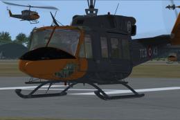
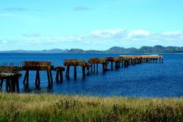
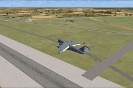
Images & Screenshots


Finding the Scenery
- FSX/Prepar3D Coordinates:
-
41.39000000,-71.64000000
Use the downloaded flight plan file by launching FSX/P3D, selecting "Load Flight Plan" in the flight planner, and choosing the .pln file. Your aircraft will be positioned directly at the add-on’s location. - Decimal Degrees (DD):
-
Latitude: 41.390000°
Longitude: -71.640000° - Degrees, Minutes, Seconds (DMS):
-
Latitude: 41° 23' 24.000" N
Longitude: 71° 38' 24.000" W
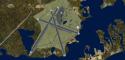
Map Location
The archive kalf.zip has 30 files and directories contained within it.
File Contents
This list displays the first 500 files in the package. If the package has more, you will need to download it to view them.
| Filename/Directory | File Date | File Size |
|---|---|---|
| KALF_ADE_FDH.BGL | 05.26.08 | 13.94 kB |
| KALF_ADE_FDH_CVX.bgl | 05.26.08 | 585 B |
| readme.txt | 05.27.08 | 1002 B |
| FILE_ID.DIZ | 06.05.08 | 664 B |
| flyawaysimulation.txt | 10.29.13 | 959 B |
| Go to Fly Away Simulation.url | 01.22.16 | 52 B |
| Screenshots | 09.13.19 | 0 B |
| screen-1.jpg | 09.10.19 | 230.01 kB |
| screen-10.jpg | 09.10.19 | 221.08 kB |
| screen-11.jpg | 09.10.19 | 252.75 kB |
| screen-12.jpg | 09.10.19 | 241.41 kB |
| screen-13.jpg | 09.10.19 | 240.25 kB |
| screen-14.jpg | 09.10.19 | 249.92 kB |
| screen-15.jpg | 09.10.19 | 239.38 kB |
| screen-16.jpg | 09.10.19 | 232.53 kB |
| screen-17.jpg | 09.10.19 | 209.33 kB |
| screen-18.jpg | 09.10.19 | 211.10 kB |
| screen-19.jpg | 09.10.19 | 185.96 kB |
| screen-2.jpg | 09.10.19 | 249.64 kB |
| screen-20.jpg | 09.10.19 | 200.94 kB |
| screen-21.jpg | 09.10.19 | 164.39 kB |
| screen-22.jpg | 09.10.19 | 179.20 kB |
| screen-23.jpg | 09.10.19 | 194.71 kB |
| screen-3.jpg | 09.10.19 | 240.29 kB |
| screen-4.jpg | 09.10.19 | 263.12 kB |
| screen-5.jpg | 09.10.19 | 234.81 kB |
| screen-6.jpg | 09.10.19 | 257.35 kB |
| screen-7.jpg | 09.10.19 | 297.11 kB |
| screen-8.jpg | 09.10.19 | 365.30 kB |
| screen-9.jpg | 09.10.19 | 219.32 kB |
Installation Instructions
Most of the freeware add-on aircraft and scenery packages in our file library come with easy installation instructions which you can read above in the file description. For further installation help, please see our Flight School for our full range of tutorials or view the README file contained within the download. If in doubt, you may also ask a question or view existing answers in our dedicated Q&A forum.


1 comments
Leave a ResponseThe content of the comments below are entirely the opinions of the individual posting the comment and do not always reflect the views of Fly Away Simulation. We moderate all comments manually before they are approved.
This is an OUTSTANDING scenery. As a boy, Charlestown NAS in Charlestown, RI served for the Hellcat, Avenger, and S2 (Cod) as a staging and practice site for carrier landings. They continually flew over our campsite at Burlinggame State Campgroud in the late 50 's through early 60's. My love of aviation came from that experience as the pilots waved to us kids at the campground beach.
This scenery installed easily and is extremely enjoyable to use. Flying in that area is fun too. Fly to either Quonset NAS in N. Kingston or (which I hope someone will do scenery for) or Block Island (KBID) for a couple of short hops.