FSX Northampton Massachusetts Scenery
Northampton, Massachusetts scenery brings the Connecticut River town to life with a detailed small airport and hand-placed objects for enjoyable local arrivals and departures in FSX. It requires the Flight1 UT-FSX USA terrain package for accurate object placement, while the scene itself displays normally without Instant Scenery installed.

 United States of America
 - File: n_hamp.zip
- Size:11.65 MB
- Scan:
Clean (15d)

- Access:Freeware
- Content:Everyone
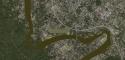
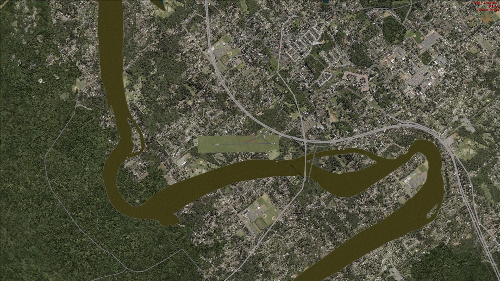
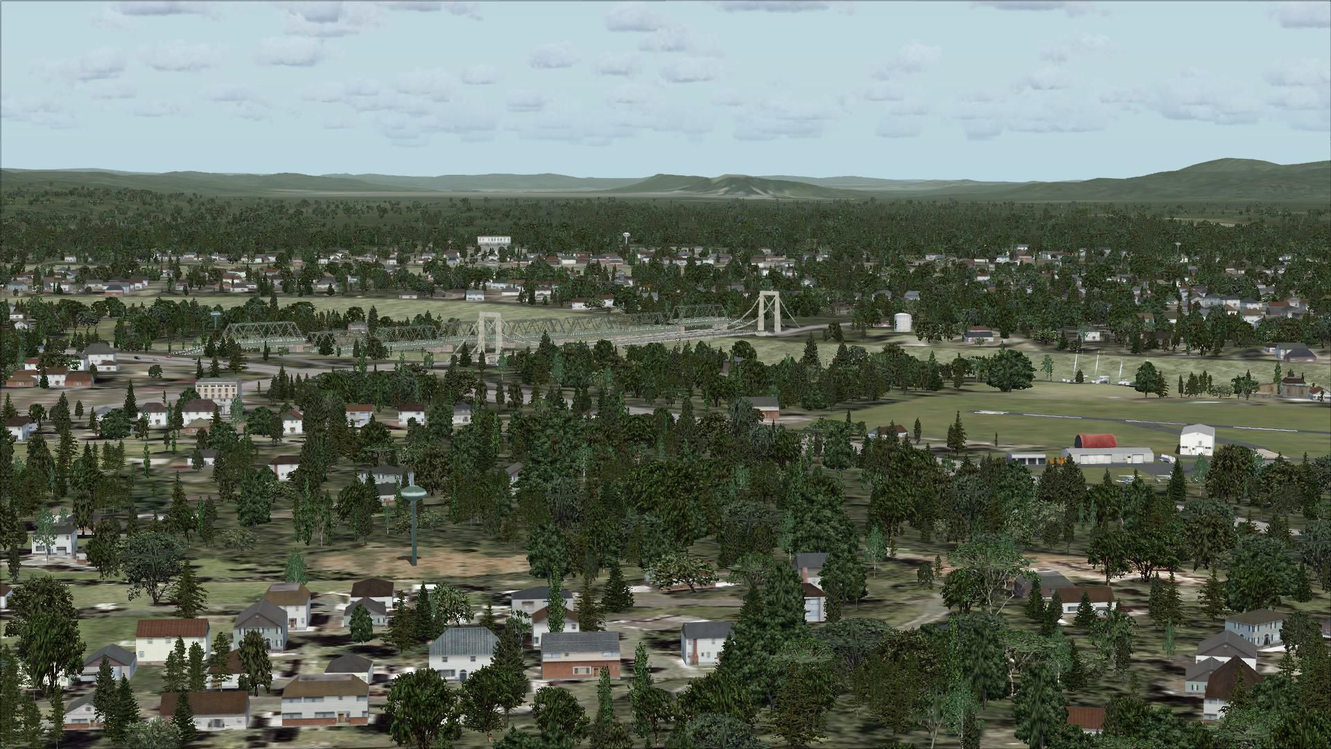
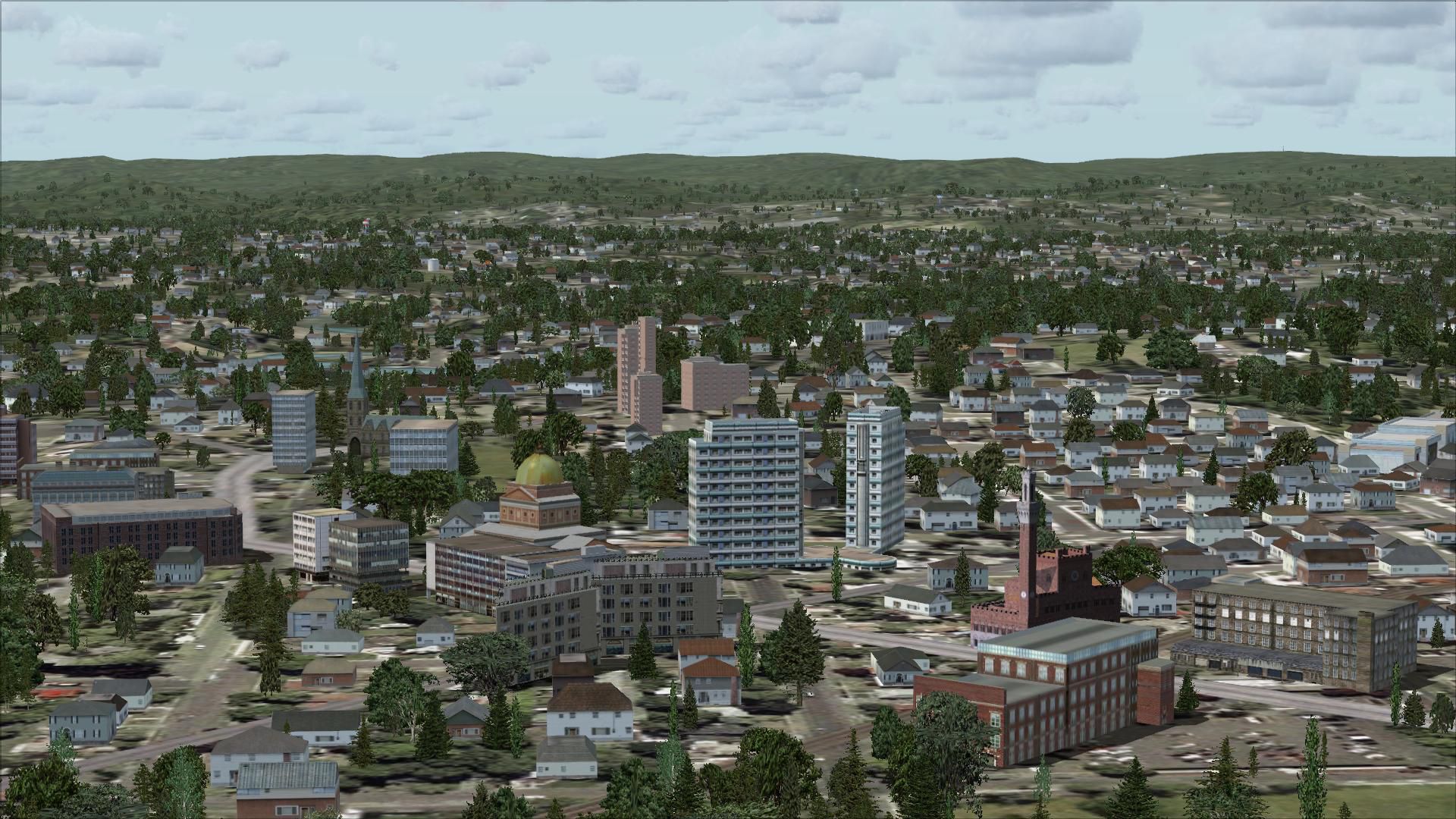
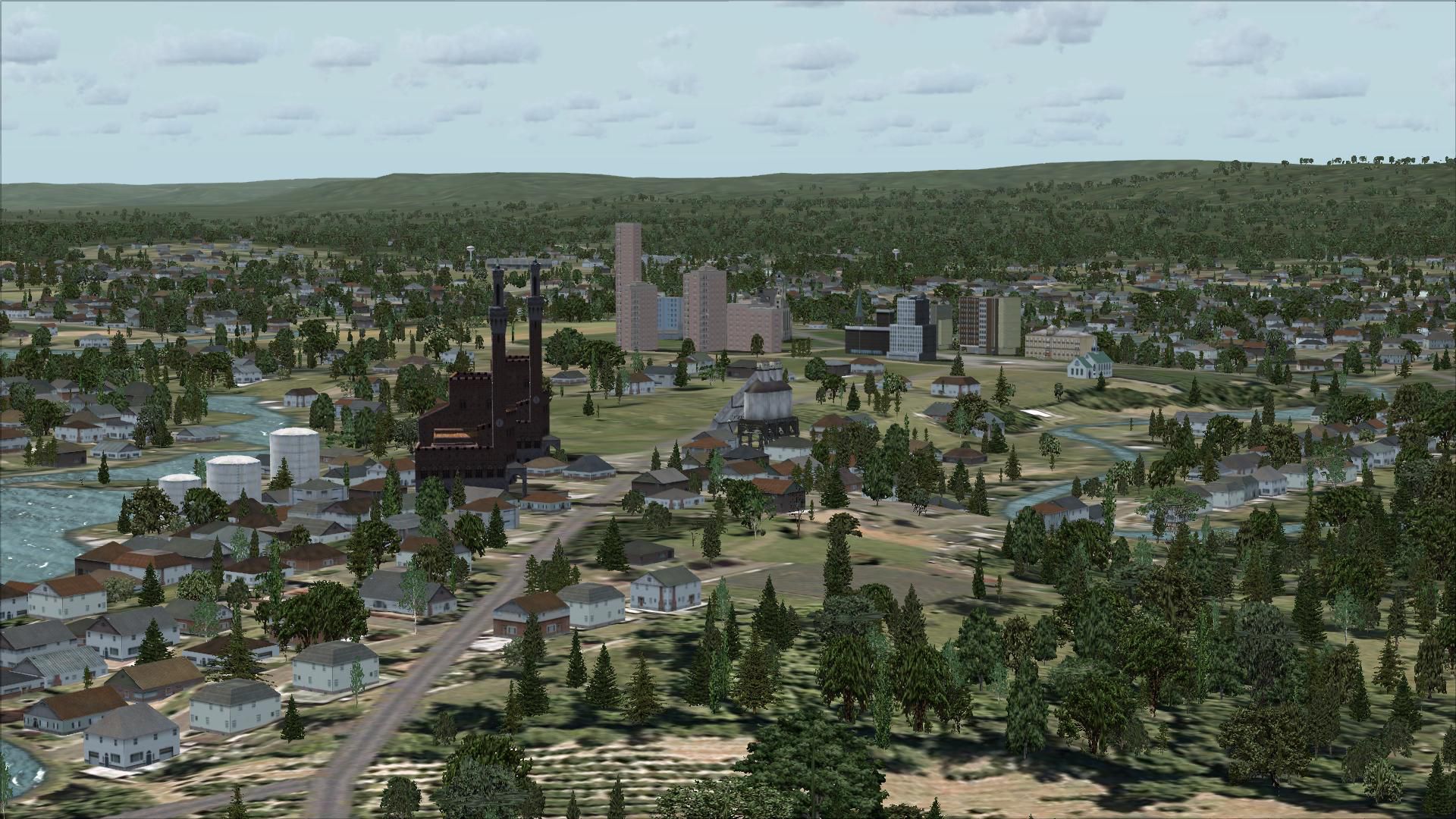
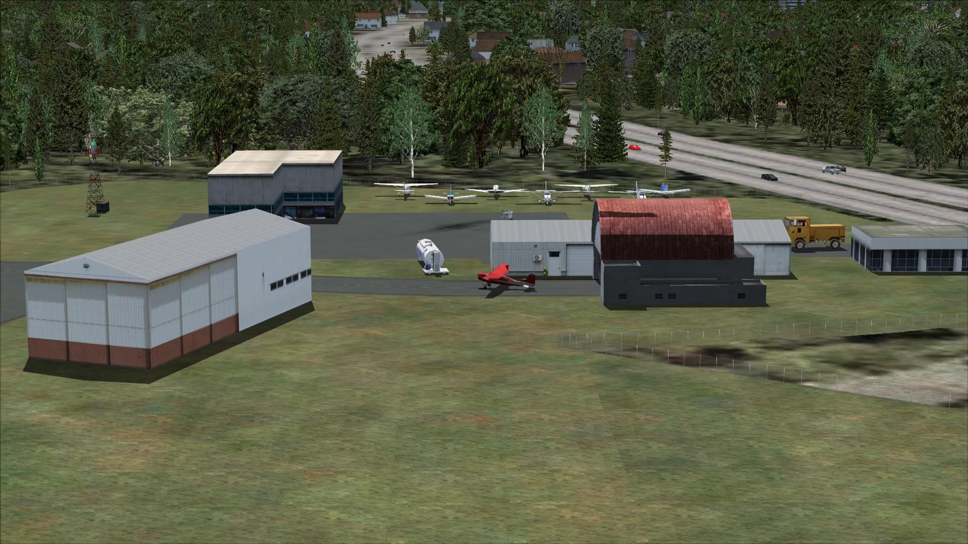
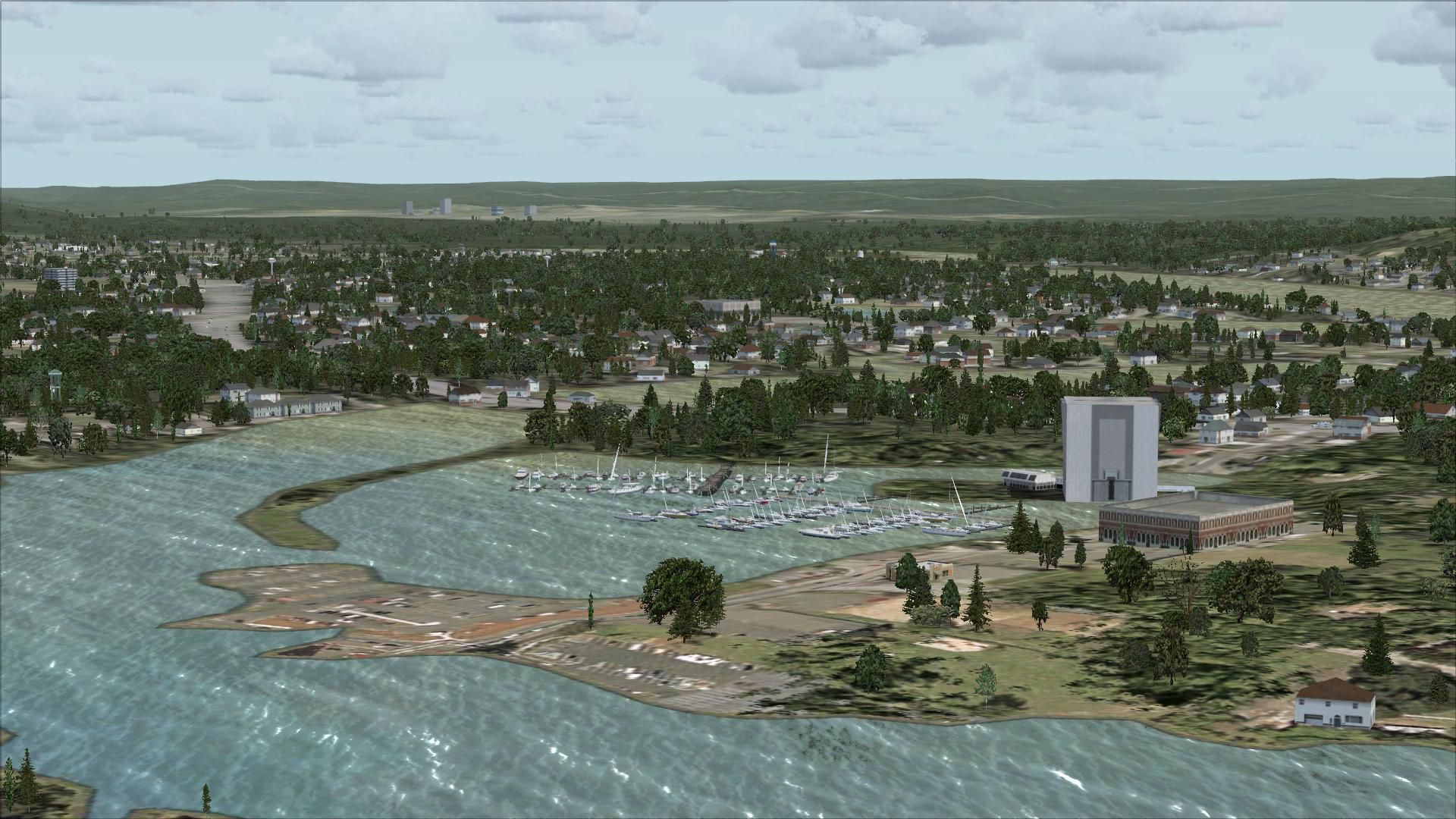
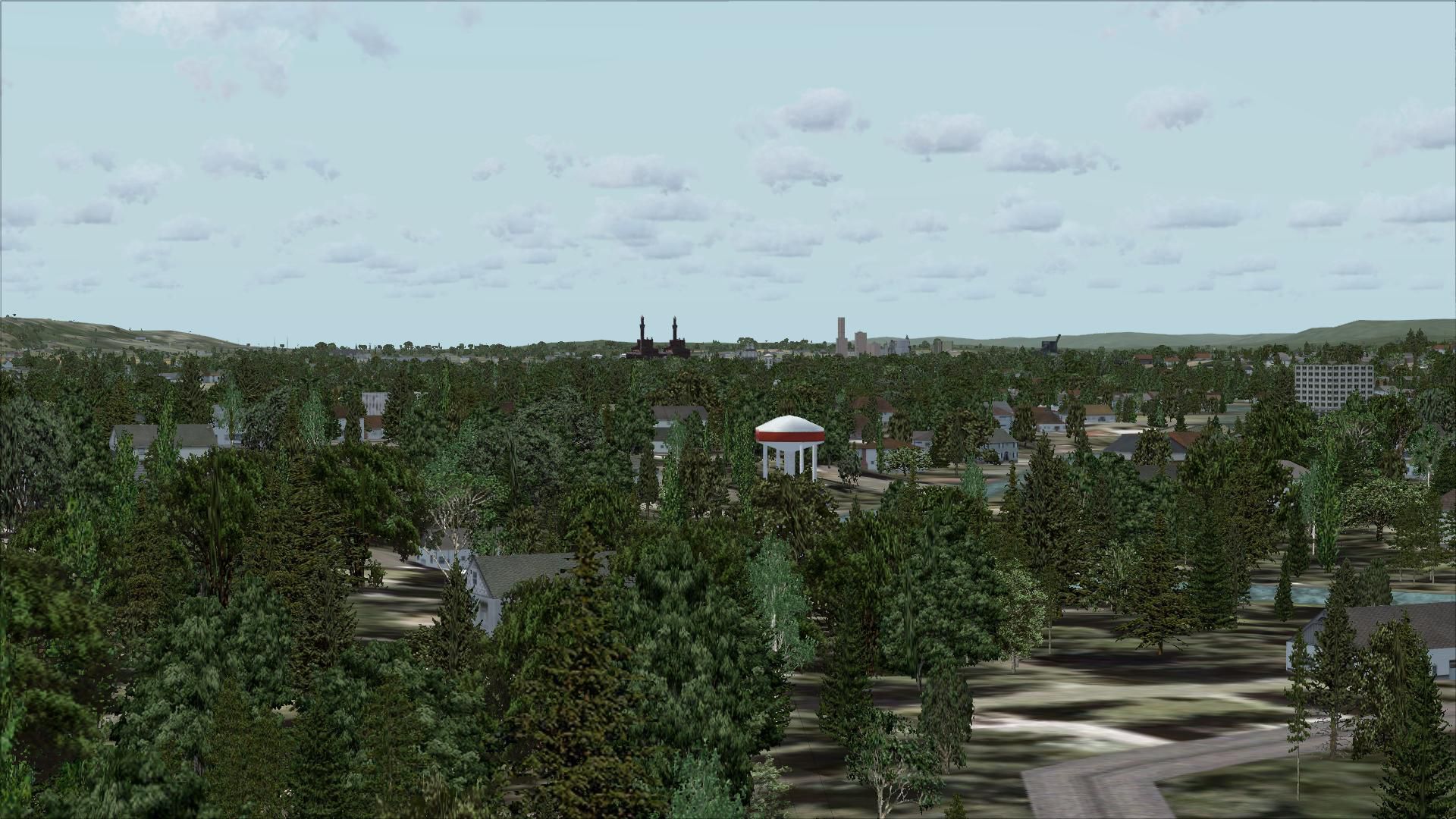
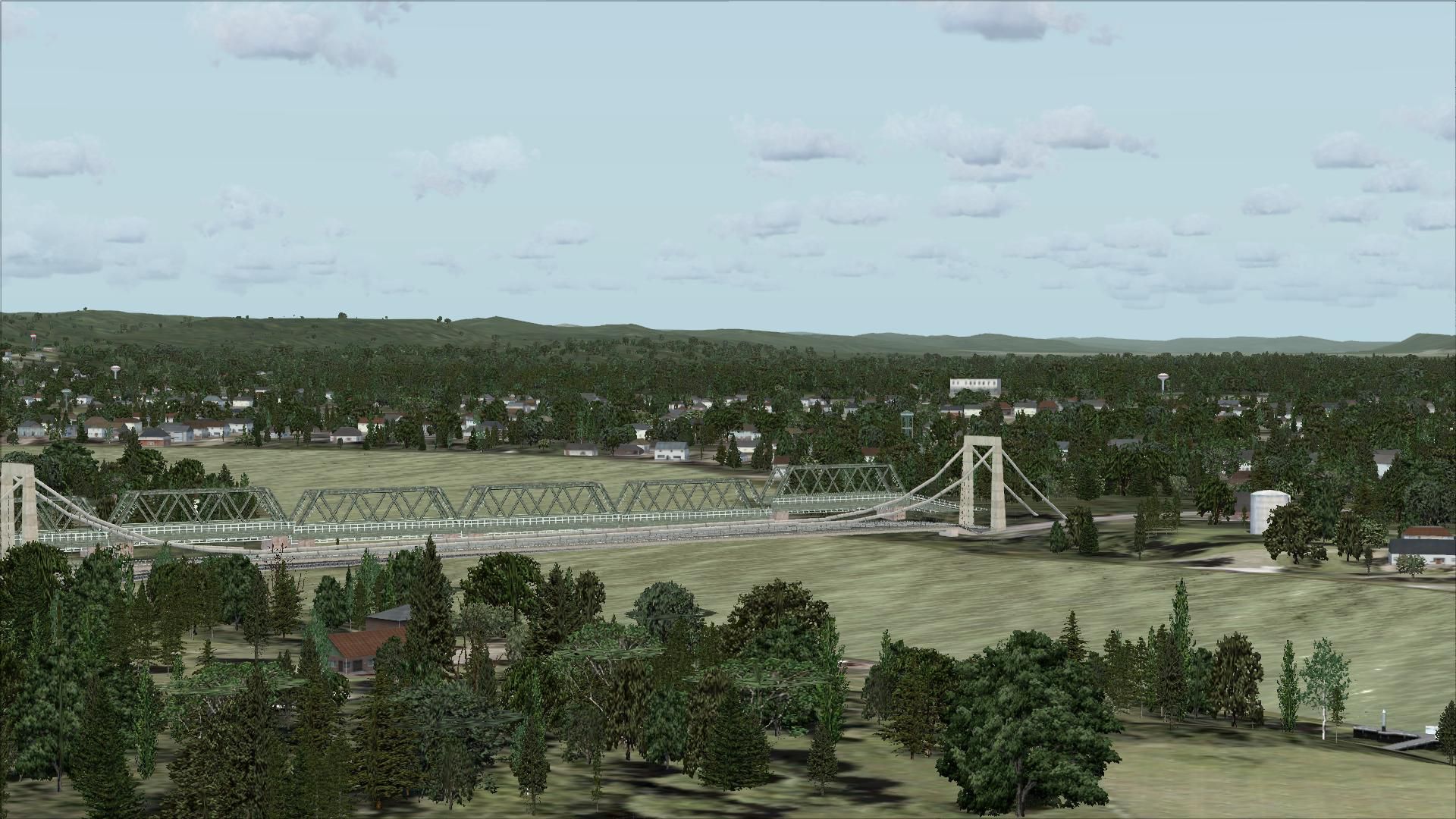
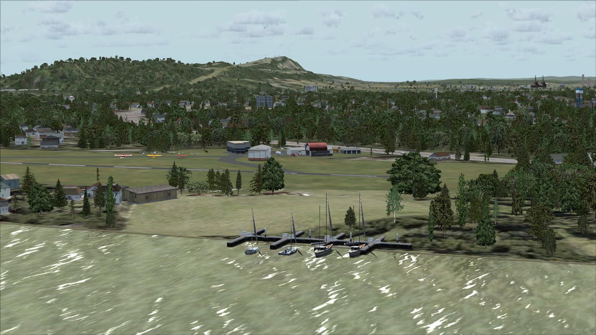
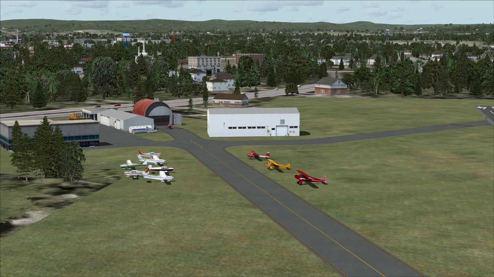
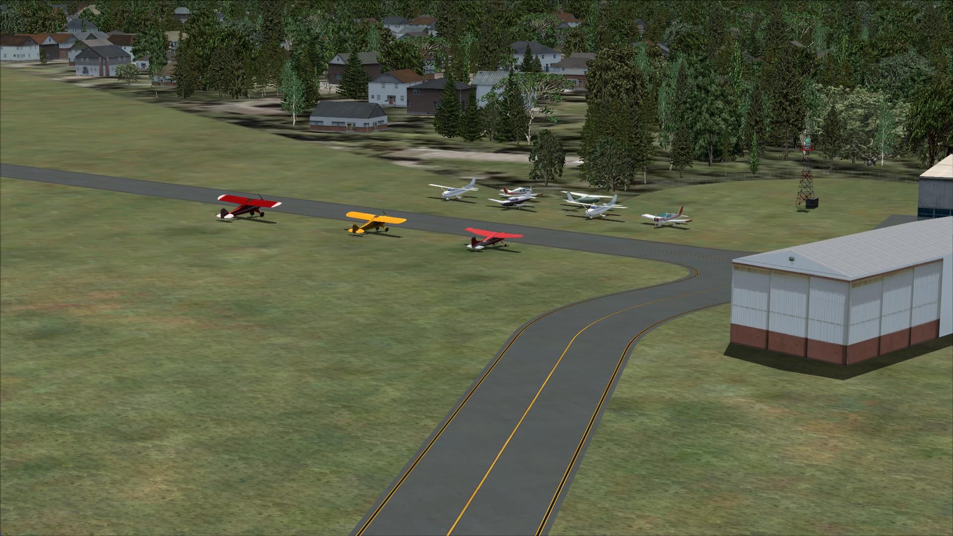
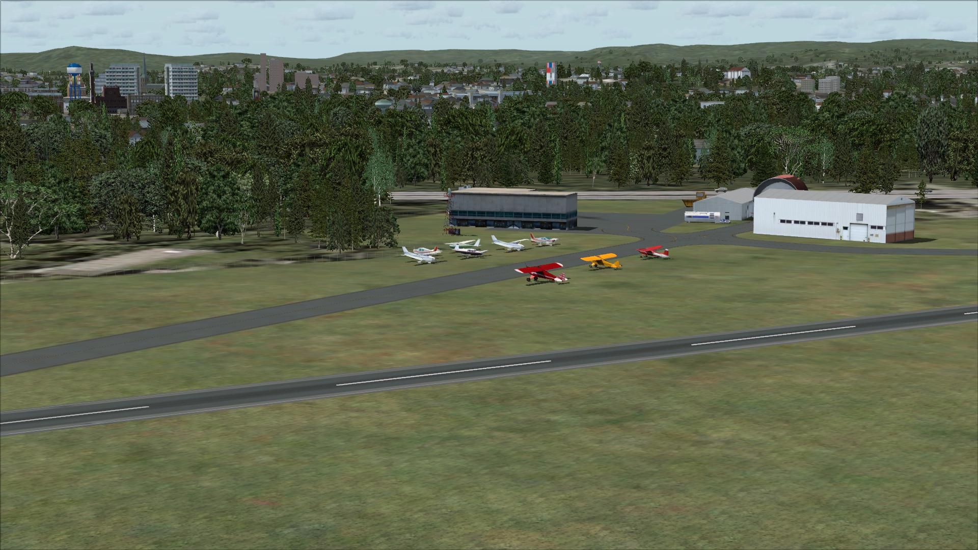
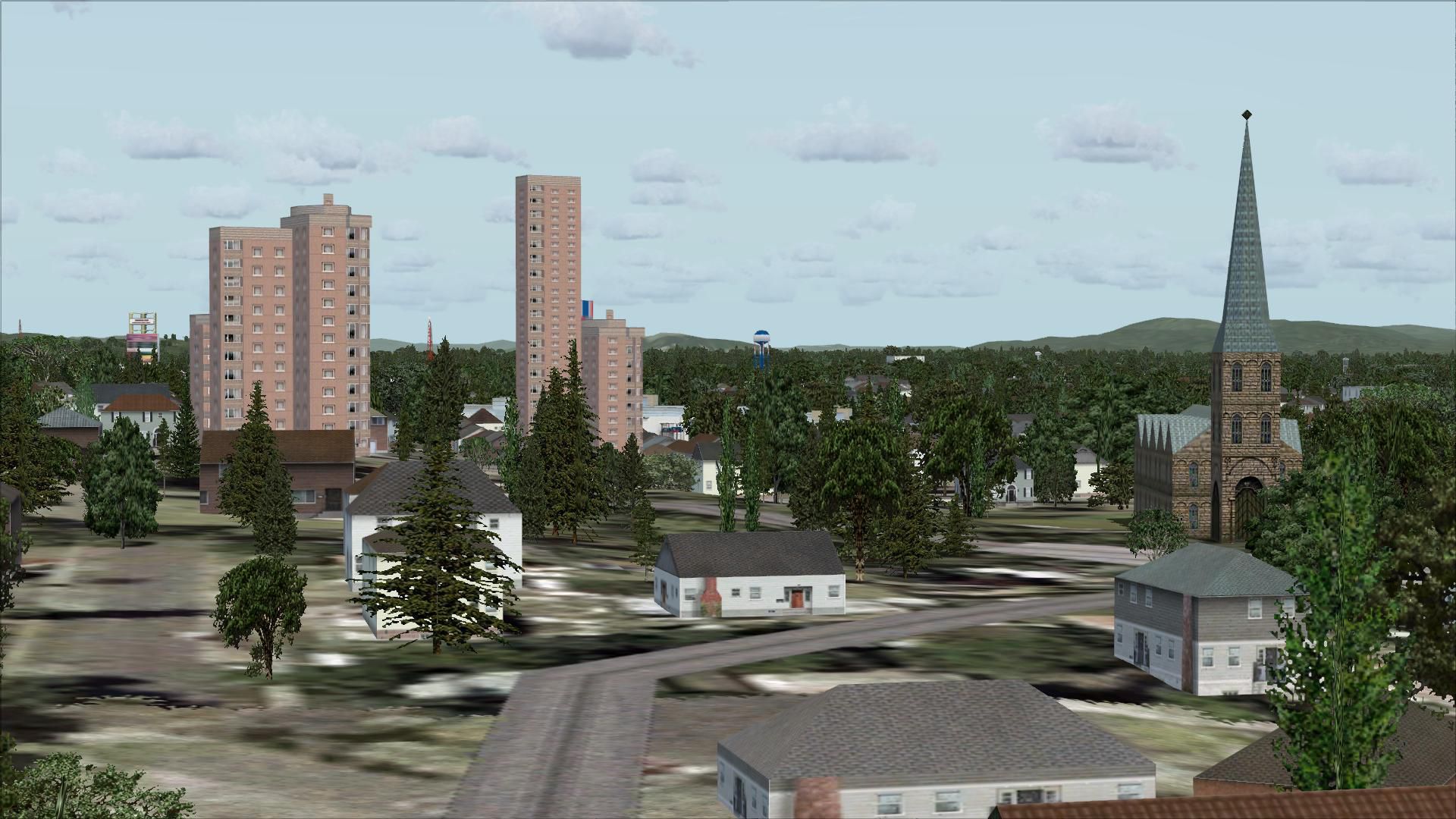
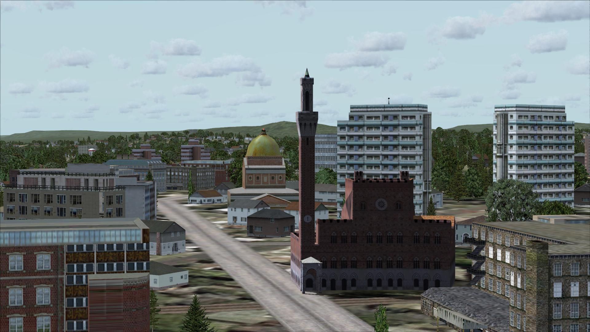
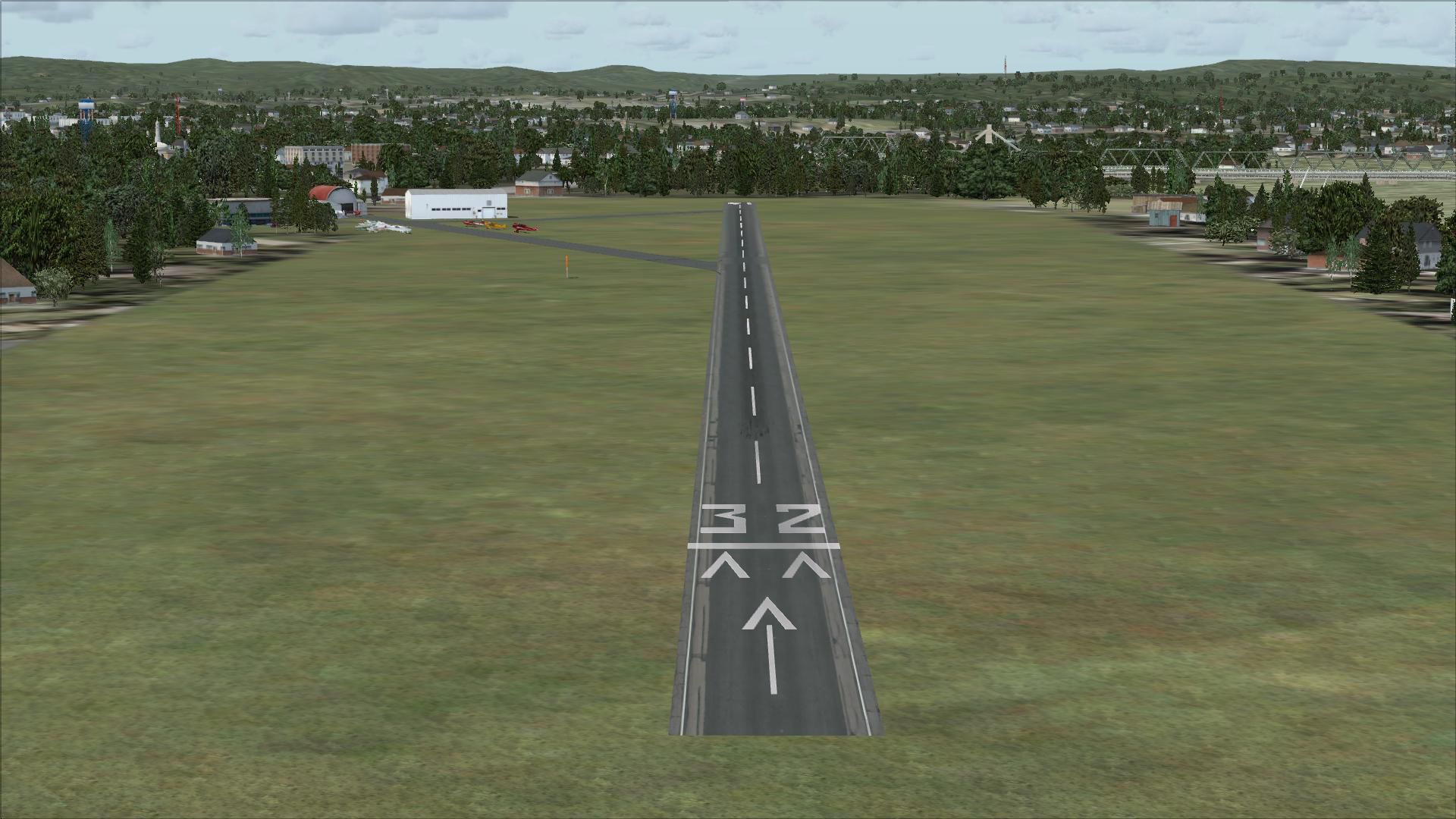
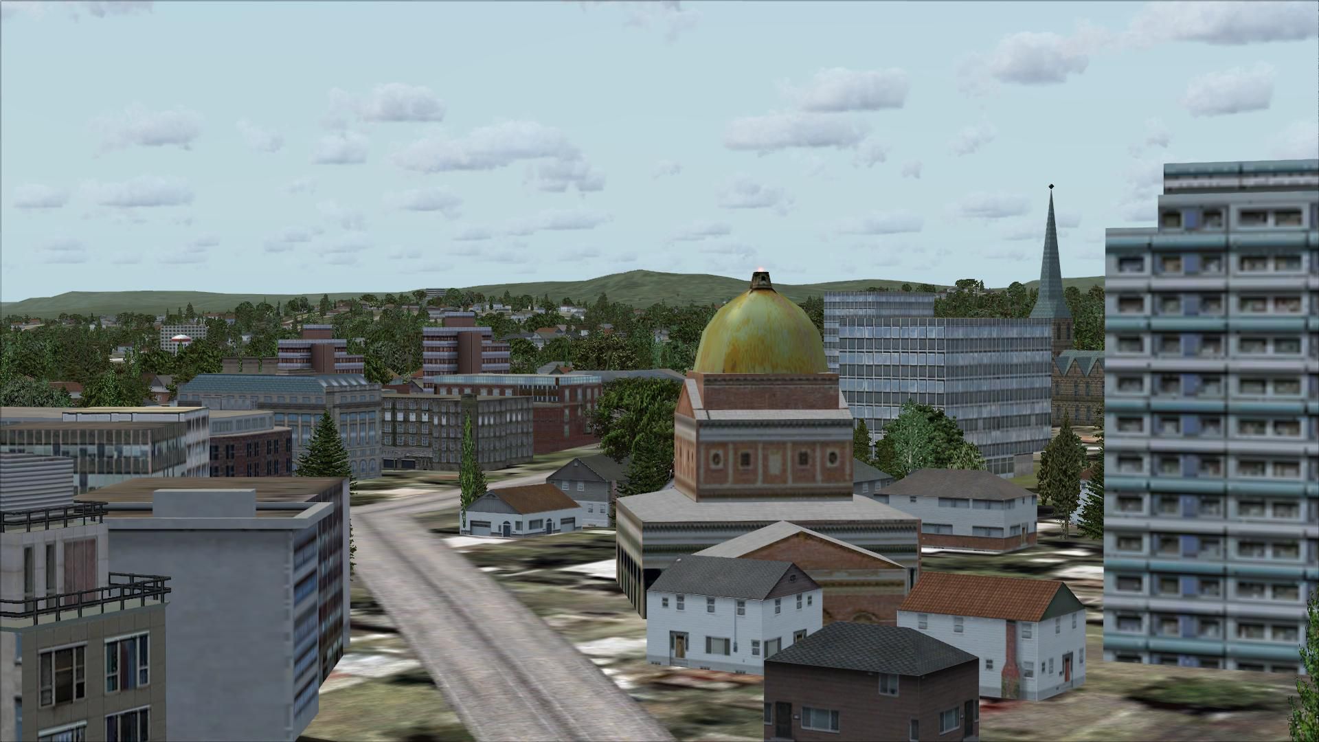
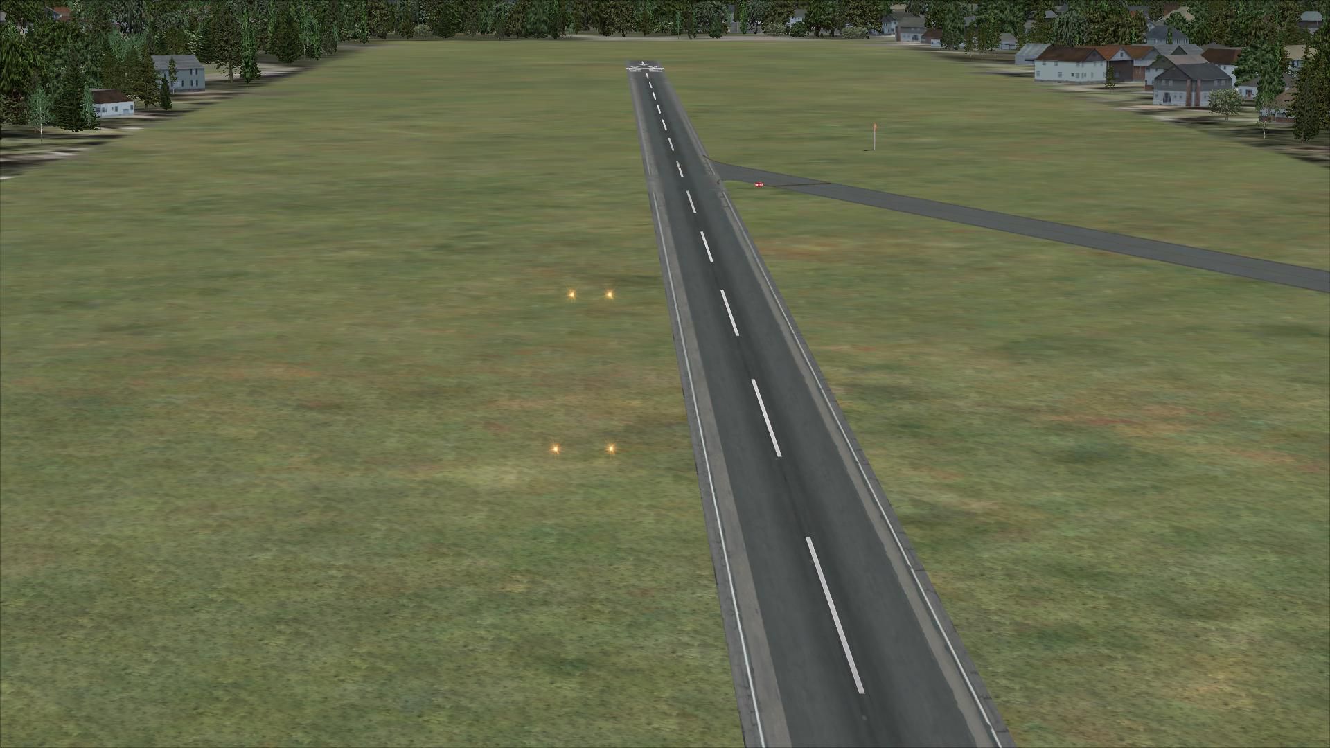
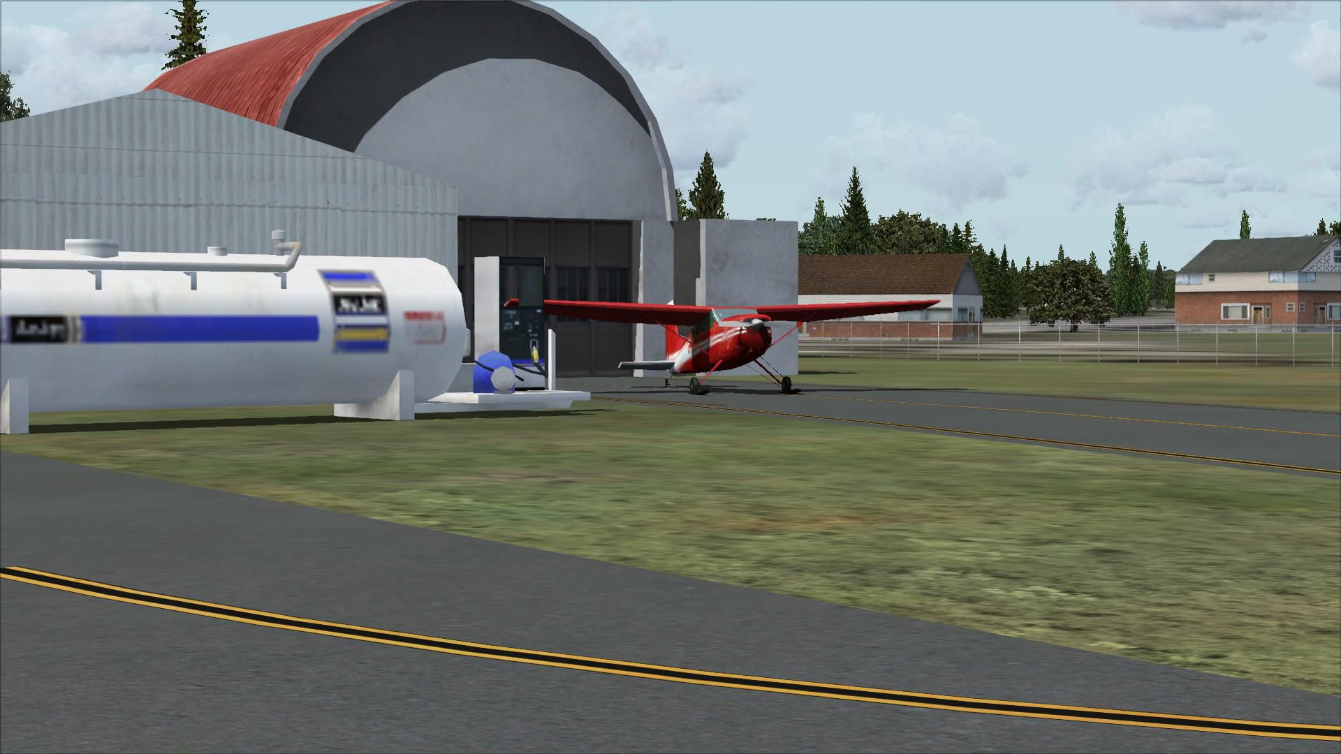
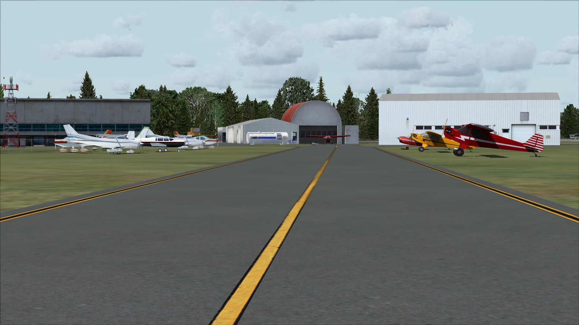
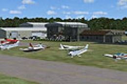
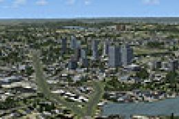
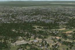
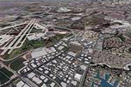
Northampton Massachusetts (MA). Northampton is located right on the Connecticut River. It has a nice small airport that is fun to fly in and out of. By Dick Kittredge.
Northampton Massachusetts Scenery.
I created this scenery using Flight1, Instant Scenery program which is not require to be installed on your system to view the scenery.
In order for the objects to be placed properly you should have the program from Flight1 called UT-FSX_Usa. This program greatly enhances the terrain in FSX.
Installation: Simply place the NorthamptonMA.bgl file in your Addon scenery/scenery folder.
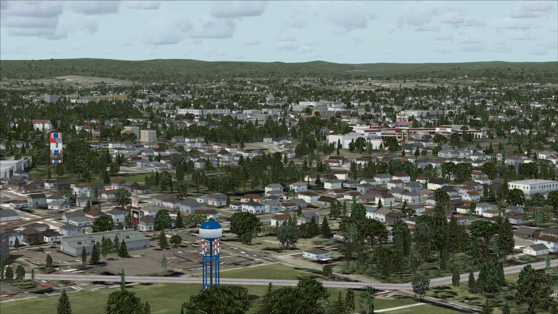
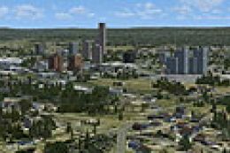
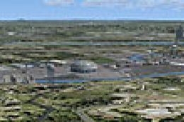
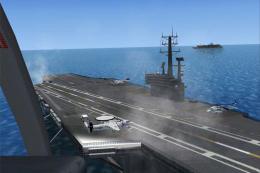
Images & Screenshots

Finding the Scenery
- FSX/Prepar3D Coordinates:
-
42.32810000,-72.61110000
Use the downloaded flight plan file by launching FSX/P3D, selecting "Load Flight Plan" in the flight planner, and choosing the .pln file. Your aircraft will be positioned directly at the add-on’s location. - Decimal Degrees (DD):
-
Latitude: 42.328100°
Longitude: -72.611100° - Degrees, Minutes, Seconds (DMS):
-
Latitude: 42° 19' 41.160" N
Longitude: 72° 36' 39.960" W
Map Location
The archive n_hamp.zip has 28 files and directories contained within it.
File Contents
This list displays the first 500 files in the package. If the package has more, you will need to download it to view them.
| Filename/Directory | File Date | File Size |
|---|---|---|
| File_ID_Northampton_FSX.diz.txt | 08.09.08 | 84 B |
| Norhtampton.bmp | 08.03.08 | 5.05 MB |
| NorthamptonMA.bgl | 05.14.08 | 3.51 kB |
| NorthamptonMa.bmp | 08.03.08 | 5.05 MB |
| Northampton--Readme.txt | 08.09.08 | 423 B |
| flyawaysimulation.txt | 10.29.13 | 959 B |
| Go to Fly Away Simulation.url | 01.22.16 | 52 B |
| Screenshots | 08.28.19 | 0 B |
| screen-1.jpg | 08.28.19 | 243.26 kB |
| screen-10.jpg | 08.28.19 | 315.70 kB |
| screen-11.jpg | 08.28.19 | 395.96 kB |
| screen-12.jpg | 08.28.19 | 413.04 kB |
| screen-13.jpg | 08.28.19 | 403.45 kB |
| screen-14.jpg | 08.28.19 | 388.61 kB |
| screen-15.jpg | 08.28.19 | 325.70 kB |
| screen-16.jpg | 08.28.19 | 493.32 kB |
| screen-17.jpg | 08.28.19 | 247.99 kB |
| screen-18.jpg | 08.28.19 | 227.92 kB |
| screen-19.jpg | 08.28.19 | 282.81 kB |
| screen-2.jpg | 08.28.19 | 302.76 kB |
| screen-20.jpg | 08.28.19 | 321.43 kB |
| screen-3.jpg | 08.28.19 | 293.61 kB |
| screen-4.jpg | 08.28.19 | 328.39 kB |
| screen-5.jpg | 08.28.19 | 293.80 kB |
| screen-6.jpg | 08.28.19 | 220.96 kB |
| screen-7.jpg | 08.28.19 | 178.66 kB |
| screen-8.jpg | 08.28.19 | 204.19 kB |
| screen-9.jpg | 08.28.19 | 320.59 kB |
Installation Instructions
Most of the freeware add-on aircraft and scenery packages in our file library come with easy installation instructions which you can read above in the file description. For further installation help, please see our Flight School for our full range of tutorials or view the README file contained within the download. If in doubt, you may also ask a question or view existing answers in our dedicated Q&A forum.


0 comments
Leave a Response