FSX Le Castellet, France Scenery
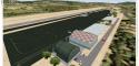
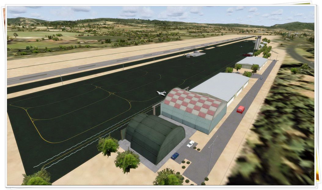
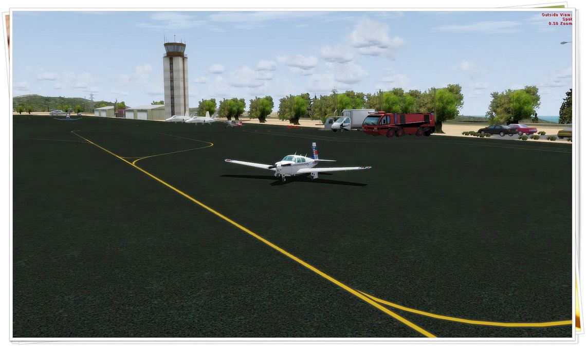
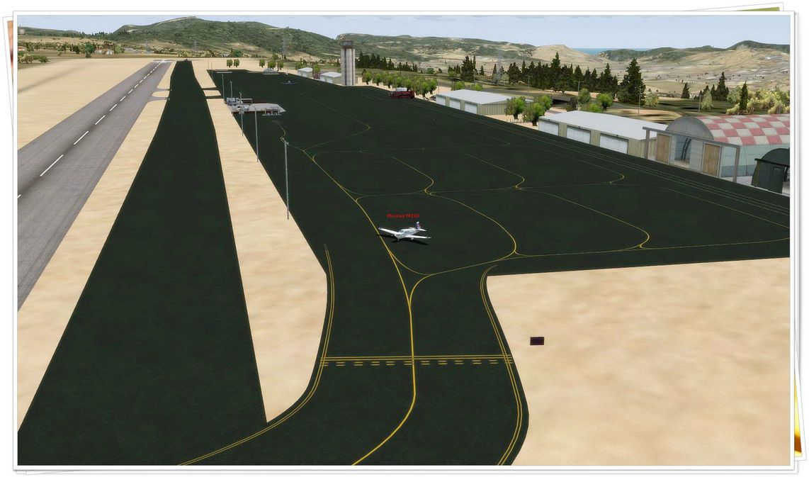
Le Castellet Airport (LFMQ) scenery brings the Provence-Alpes-Côte d’Azur plateau to life with a refreshed apron layout, accurate ground markings, runway access paths, and a dedicated helicopter area with hangars and surrounding buildings for authentic VFR operations in FSX. The result is a faithful, modernized destination near the Paul Ricard Circuit.
 France
 - File: lfmq-1.zip
- Size:987.83 KB
- Scan:
Clean (11d)

- Access:Freeware
- Content:Everyone
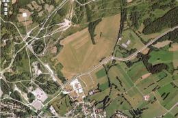
Le Castellet (LFMQ), France. When constructed in 1962, the largest private airport in the Provence-Alpes-Cote d'Azur region. By Daniel Louvet.

Le Castellet, France Scenery.
On the 1,000 hectares of plateau he acquired between Marseille and Toulon, Paul Ricard, forever motivated by innovation and development, constructed in 1962 the largest private airfield in the Provence-Alpes-Côte d’Azur region. The landing strip at Le Castellet covered a distance of 1,000 metres and allowed for VFR (Visual Flight Rules) operation.
Situated on a plateau at the time free of all economic development, it was above all a private airfield. In 1970, the construction of the Paul Ricard Circuit nearby created an economic dynamic for the first time on Le Castellet plateau.
In 1972, Paul Ricard invested in improvements to the runway, lengthening it from 1,000 to 1,750 metres, thus rendering it capable of receiving business and private airplanes of up to 38 tonnes.
Over twenty years, Le Castellet Airport saw intense periods of activity due to business and private aviation, notably with the arrival of the first F1 French Grand Prix on the Paul Ricard Circuit in 1971, and more recently, with the creation of the Entreprise Zone at Signes, situated only a few kilometres from the airfield.
Nevertheless, from 1972 to 1999, no investment was made at the airfield. In May 1999, the company Excelis S.A. purchased the site (airfield and circuit) and refurbished and modernised the installations.
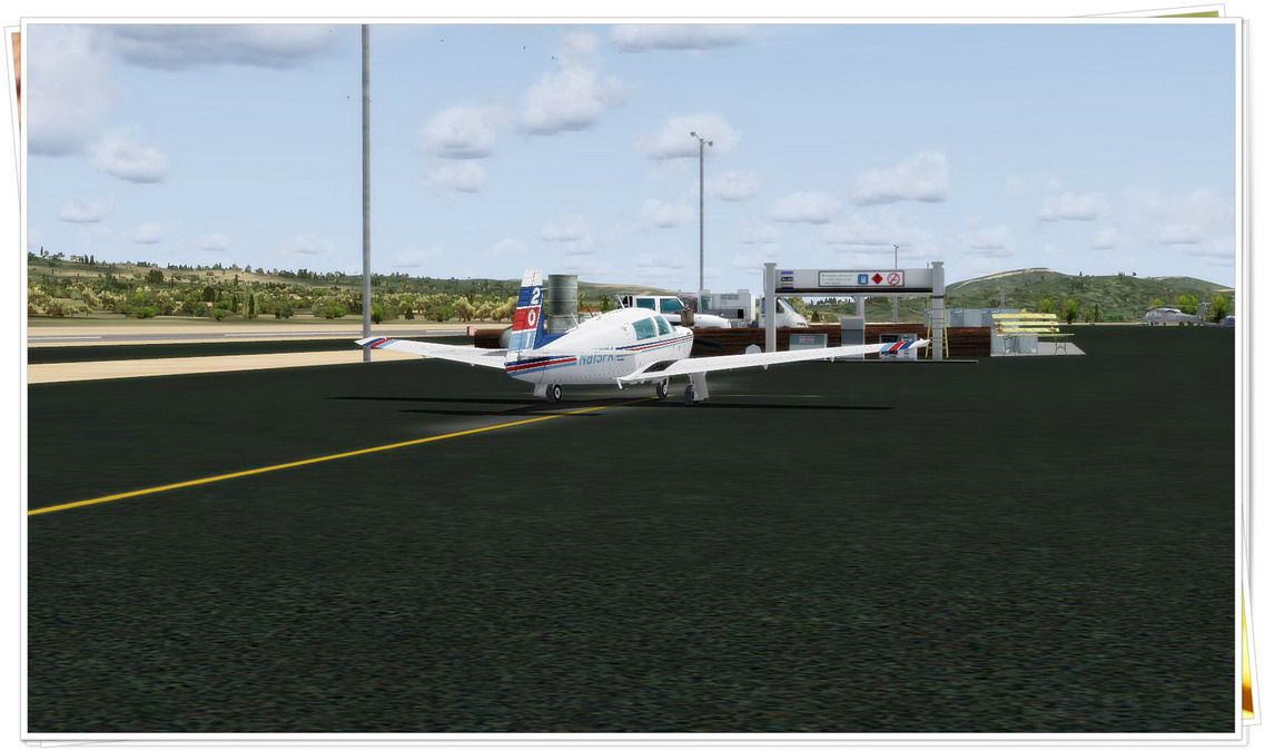
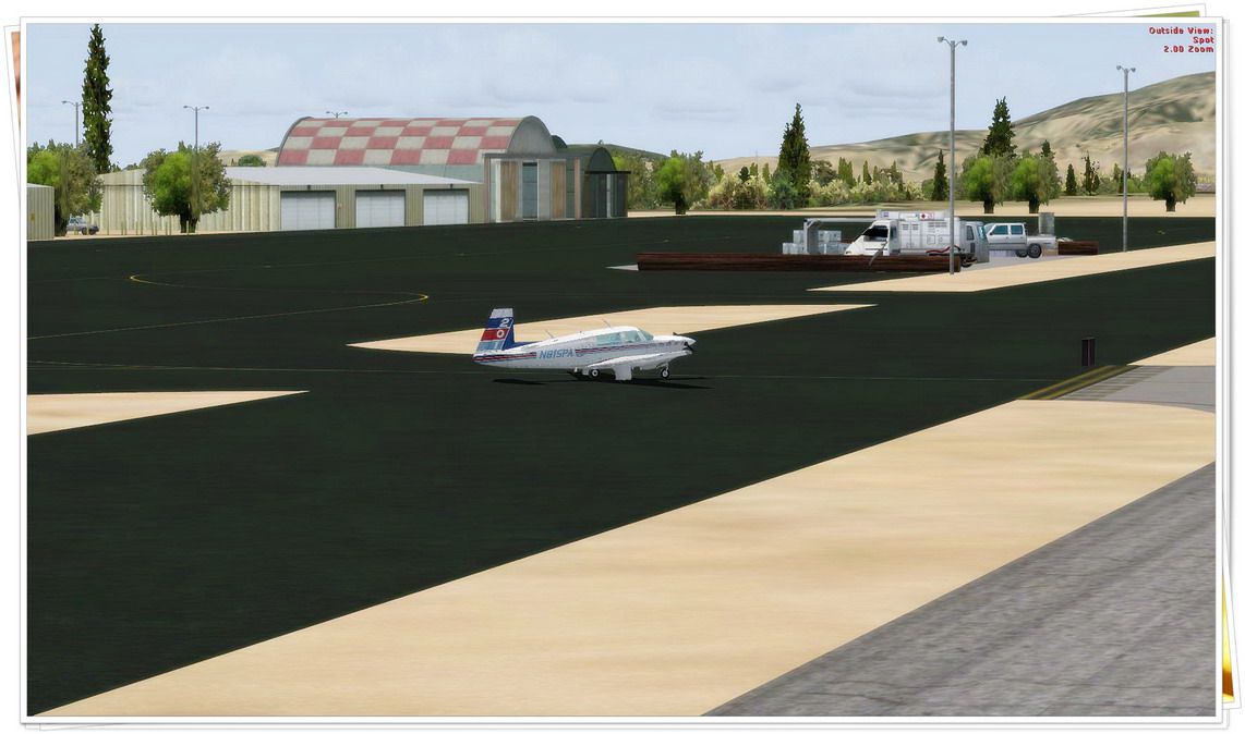
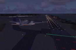
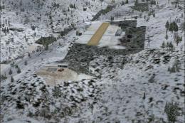
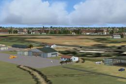
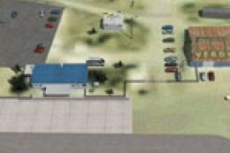
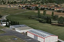
A truly amazing place to fly to - I have enhanced the entire apron as it is today, all marking correctly set, acces to runway and the Heli area for the "Eggbeater" fan includes the hangar, building and other things around.
Hope you'll enjoy your stay in Le castellet!
Feedbacks welcome!
Have fun!
Installation:
Drop the .bgl file in your FSX/Addon scenery/scenery folder.
ONLY!
Airports also available:
-CZBB Boundary Bay
-CYCD Nanaimo
-CYQQ Comox Valley + Update
-CYCZ Fairmont Hot Springs
-CYBA Banff airfield
-CYAZ Tofino
-CAK3 Delta Heritage Airpark
-CyCW Chilliwack Municipal
-CYYB North Bay
-CYPK Pitt Meadows
-CBQ2 Fort Langley
-CSK8 King George Airpark
-CYXX Abbotsford Intl.
-CCS6 Courtenay (smit field)
-TNCB Flamingo Airport (Bonaire)
-TNCC Willemstad Airport (Curacao)
-TNCA Queen Beatrix Intl. Airport (Aruba)
These airports are not designed for A.I traffic yet, although FSX did link all parking spot and did not modified them.
I will update them accordingly in a near future.
Thanks!
Dan

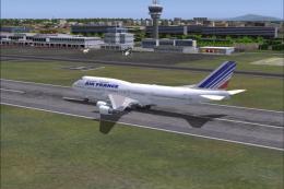
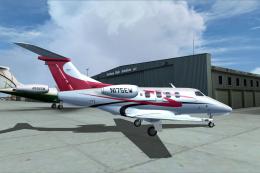
Le Castellet, France Scenery.
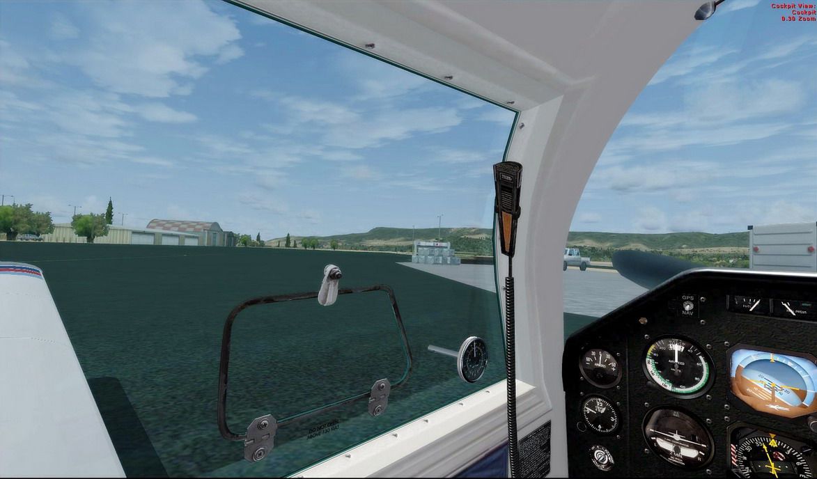
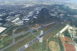
Images & Screenshots

Finding the Scenery
- FSX/Prepar3D Coordinates:
-
43.25250000,5.78580000
Use the downloaded flight plan file by launching FSX/P3D, selecting "Load Flight Plan" in the flight planner, and choosing the .pln file. Your aircraft will be positioned directly at the add-on’s location. - Decimal Degrees (DD):
-
Latitude: 43.252500°
Longitude: 5.785800° - Degrees, Minutes, Seconds (DMS):
-
Latitude: 43° 15' 09.000" N
Longitude: 5° 47' 08.880" E
Map Location
The archive lfmq-1.zip has 11 files and directories contained within it.
File Contents
This list displays the first 500 files in the package. If the package has more, you will need to download it to view them.
| Filename/Directory | File Date | File Size |
|---|---|---|
| 007.gif | 04.23.09 | 7.98 kB |
| LFMQ.BGL | 04.23.09 | 22.02 kB |
| Read me.txt | 04.23.09 | 2.49 kB |
| 001.jpg | 04.23.09 | 163.18 kB |
| 002.jpg | 04.23.09 | 185.34 kB |
| 003.jpg | 04.23.09 | 147.45 kB |
| 004.jpg | 04.23.09 | 165.62 kB |
| 005.jpg | 04.23.09 | 170.66 kB |
| 006.jpg | 04.23.09 | 153.37 kB |
| flyawaysimulation.txt | 10.29.13 | 959 B |
| Go to Fly Away Simulation.url | 01.22.16 | 52 B |
Installation Instructions
Most of the freeware add-on aircraft and scenery packages in our file library come with easy installation instructions which you can read above in the file description. For further installation help, please see our Flight School for our full range of tutorials or view the README file contained within the download. If in doubt, you may also ask a question or view existing answers in our dedicated Q&A forum.


0 comments
Leave a Response