FSX Pearson International Airport Scenery
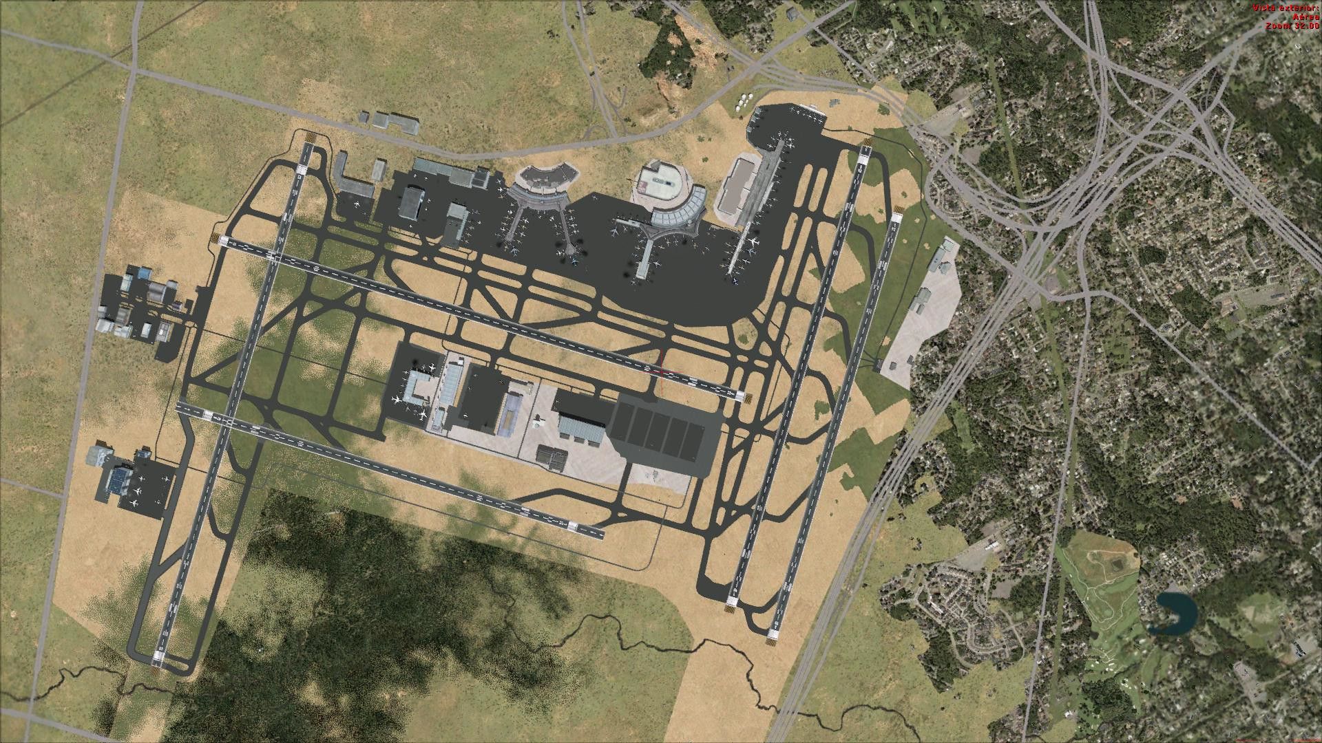
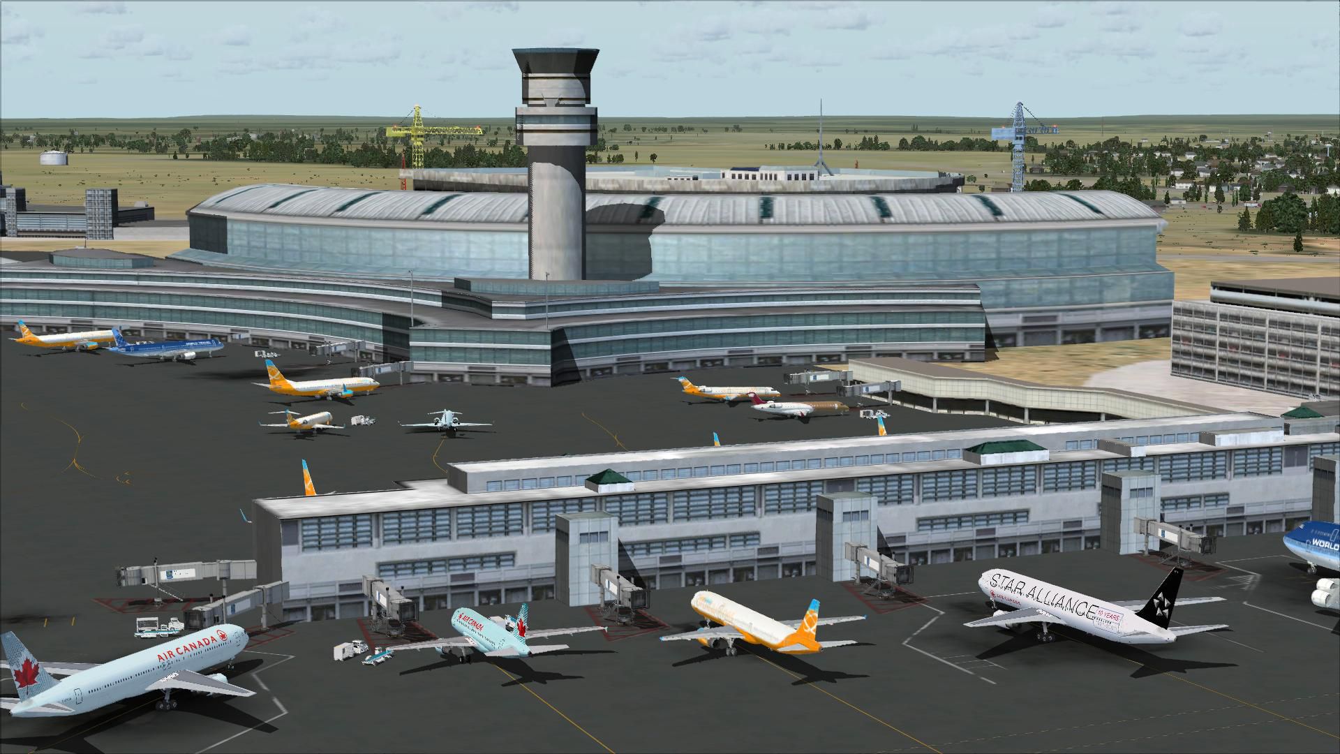
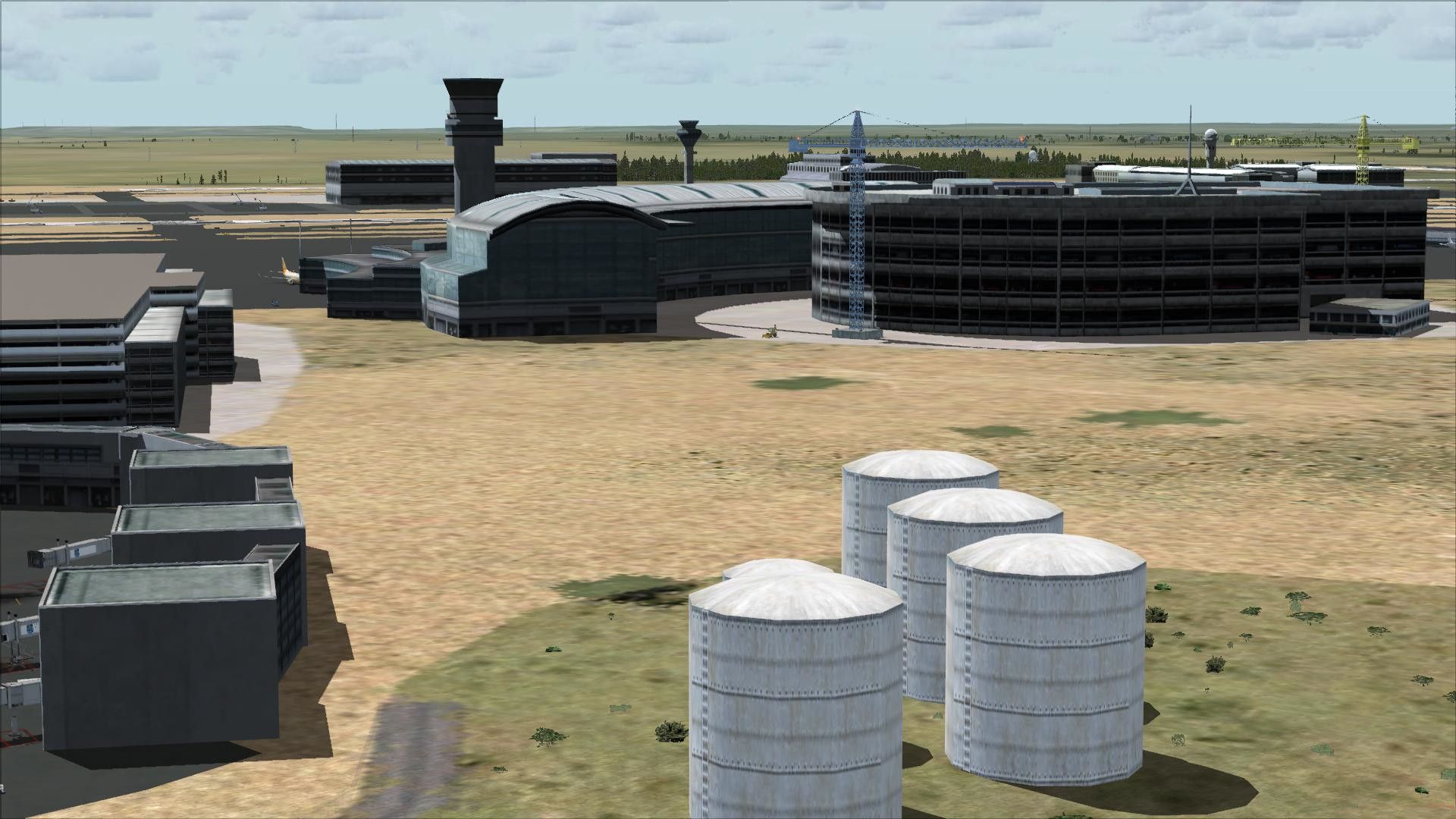
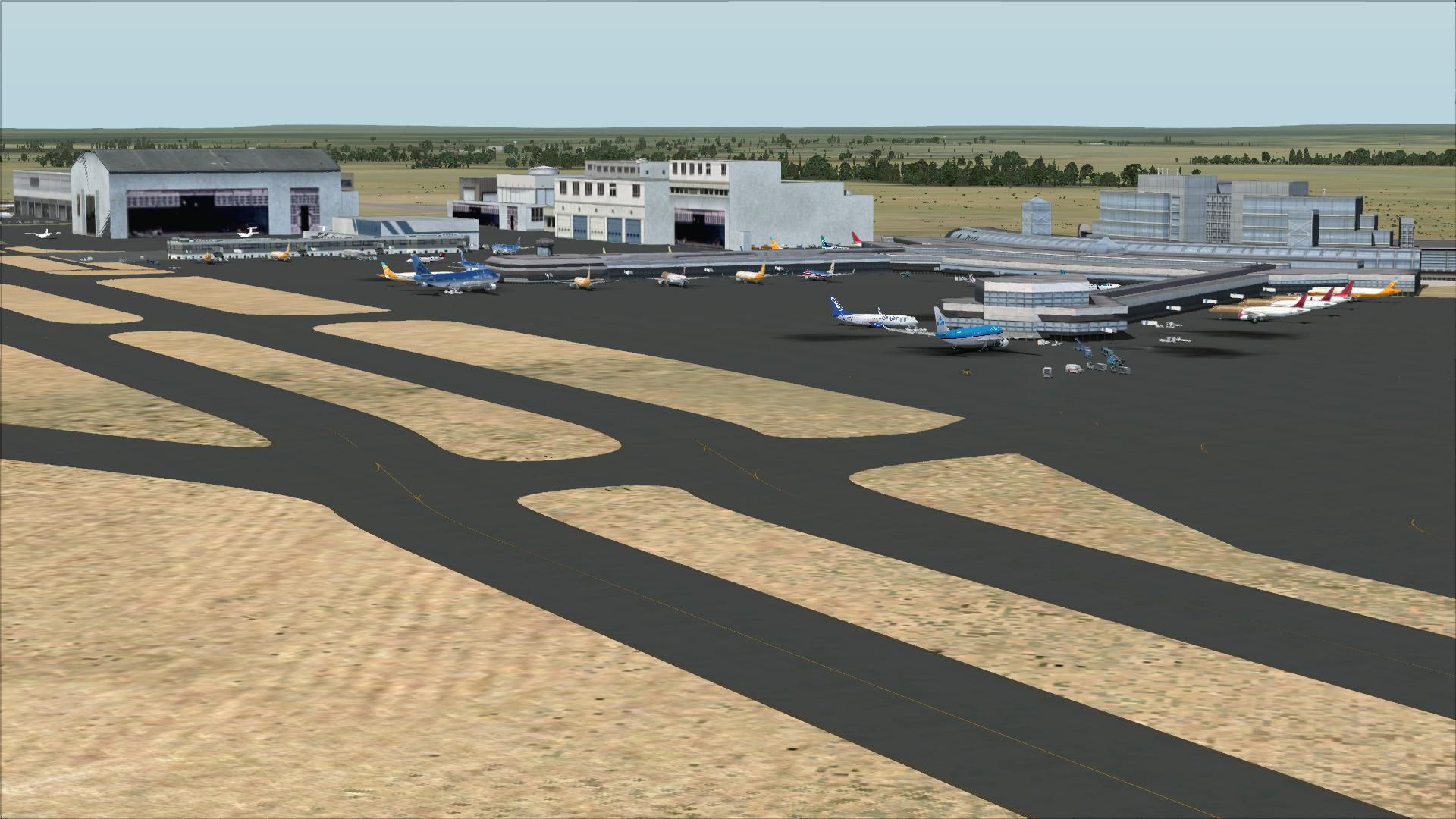
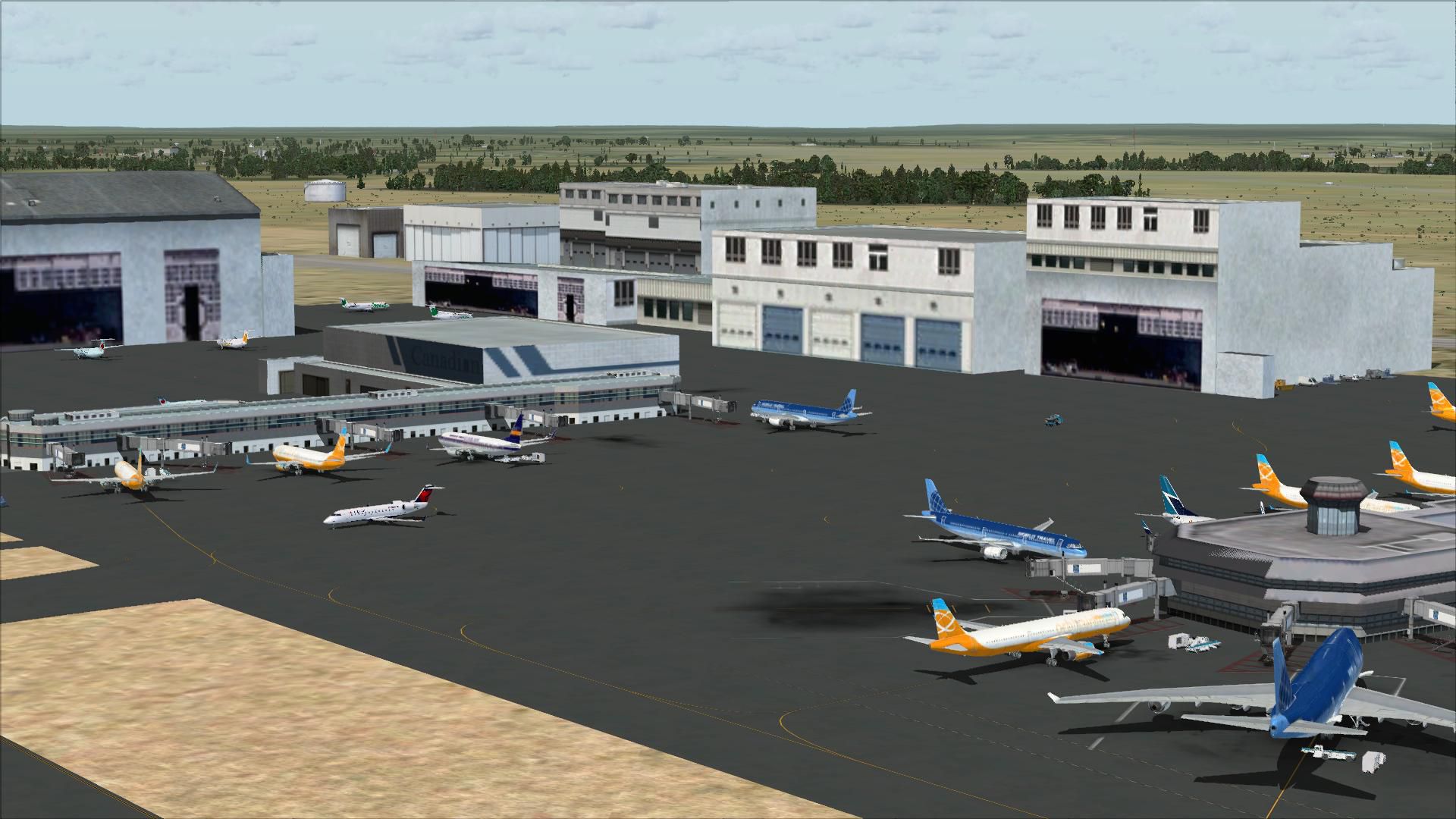
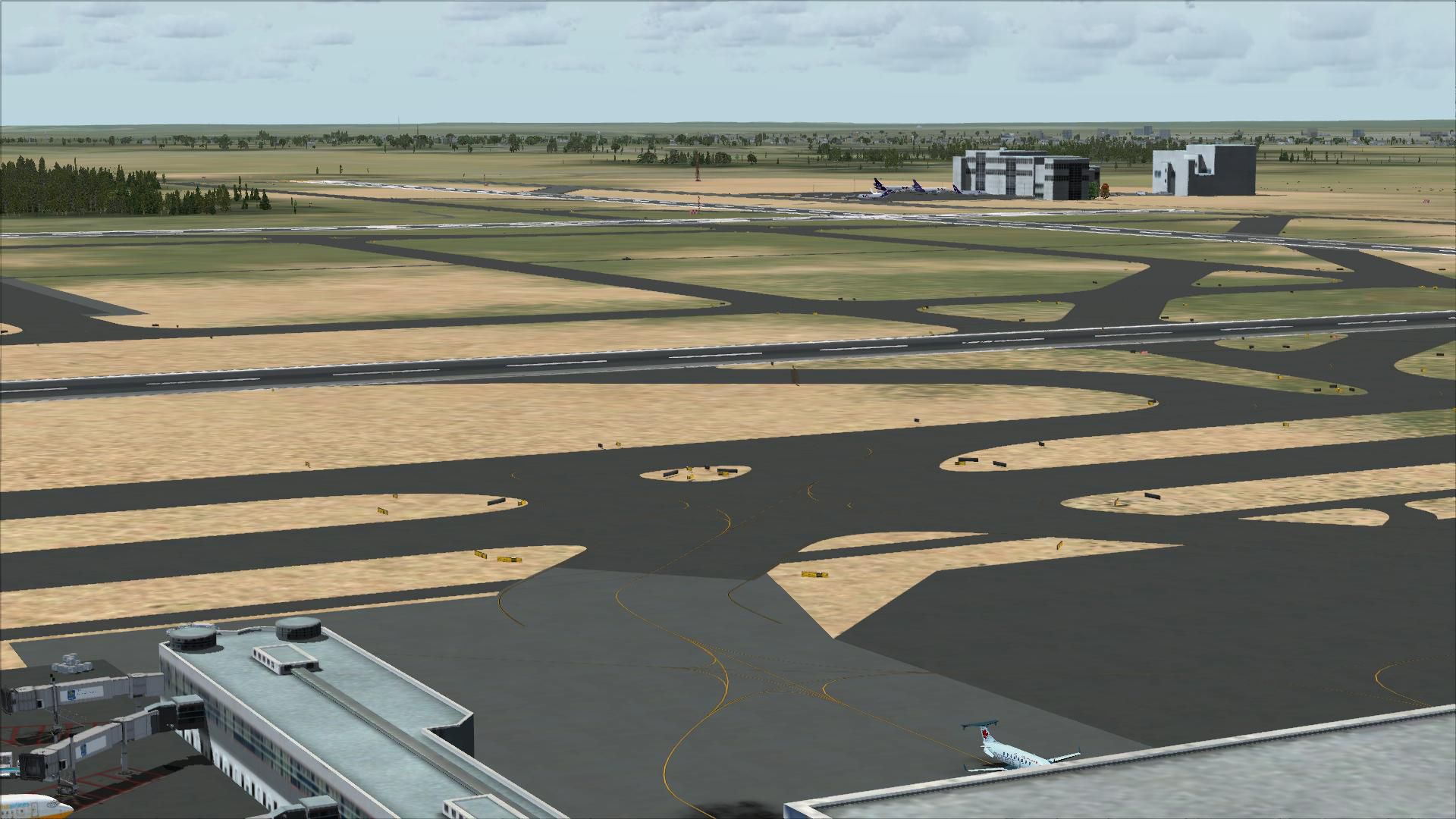
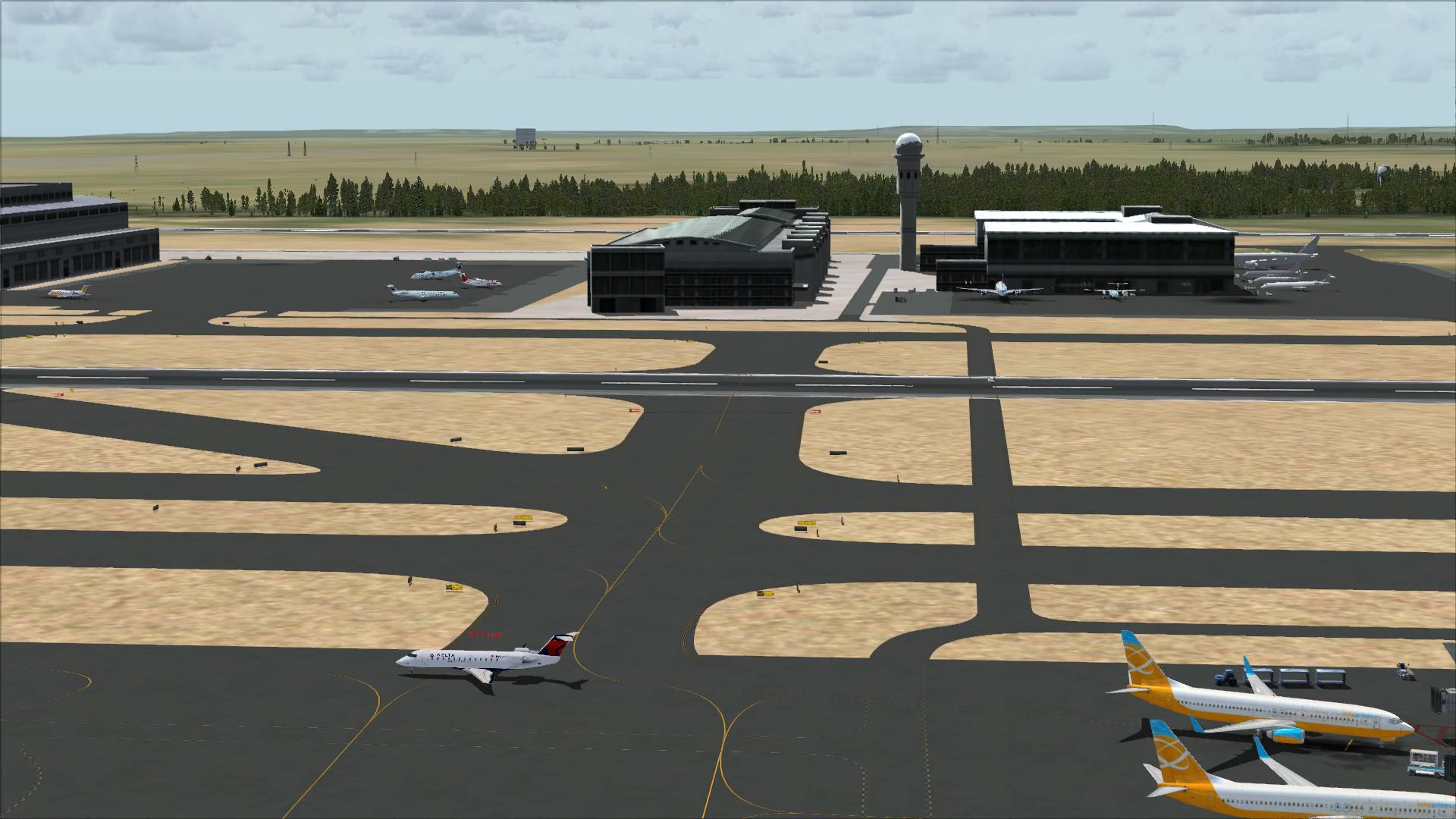
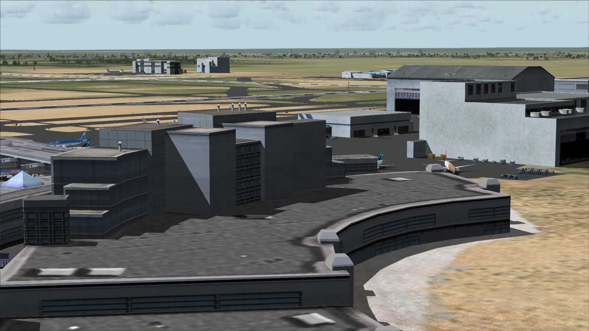
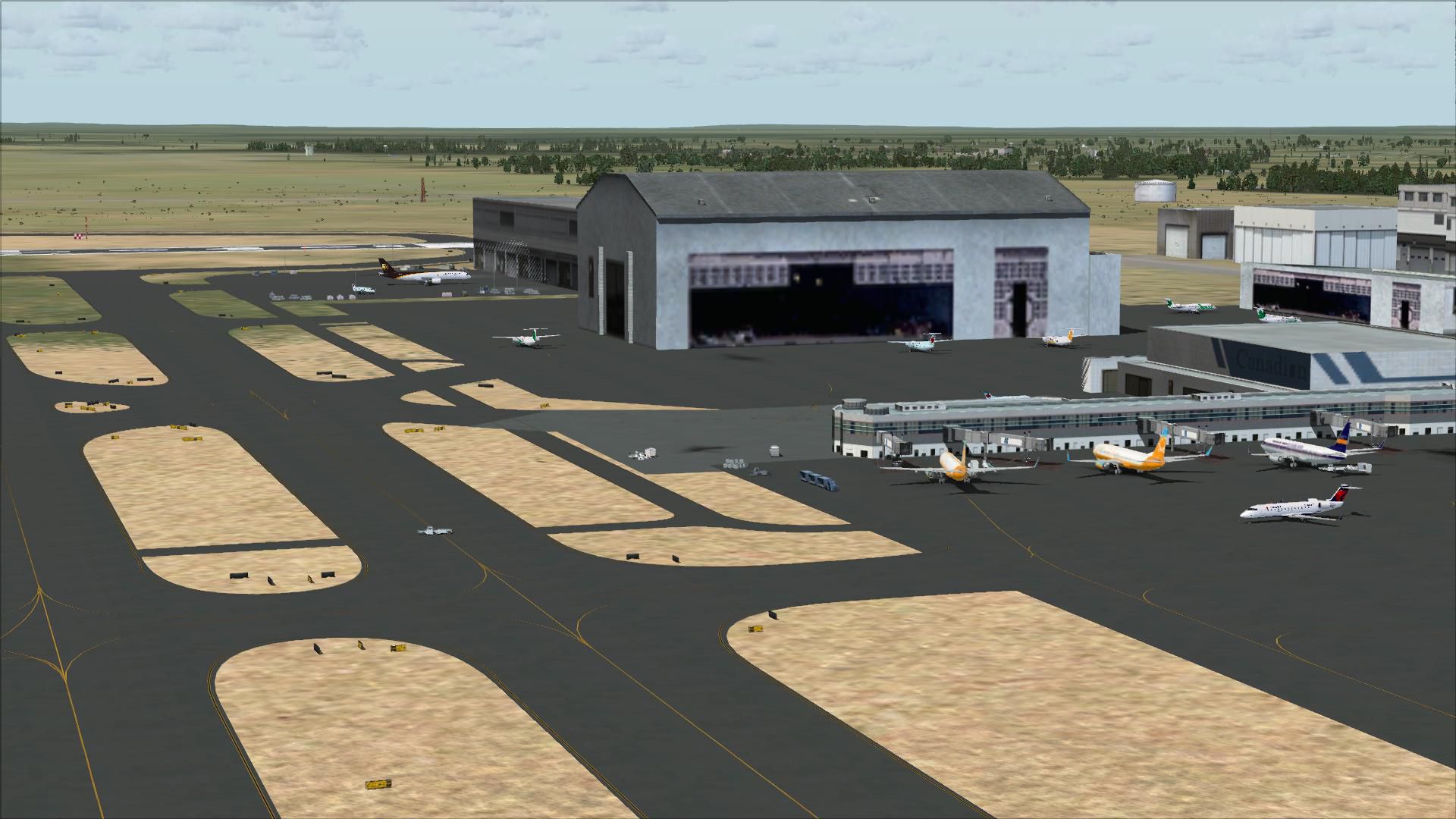
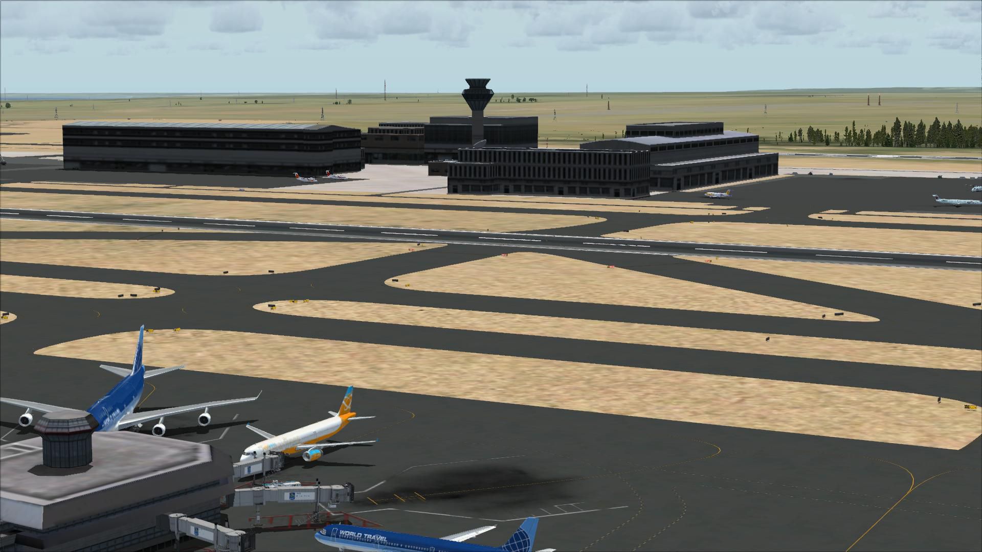
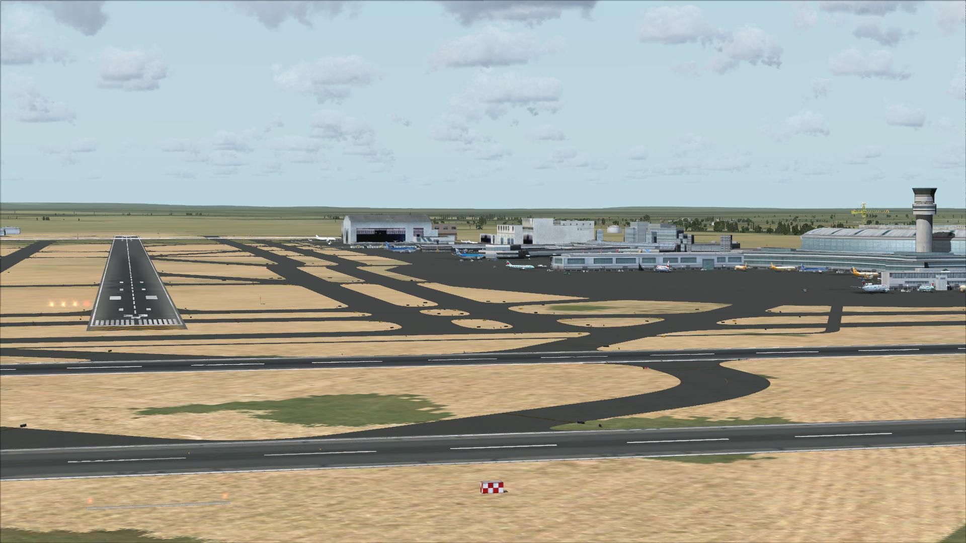
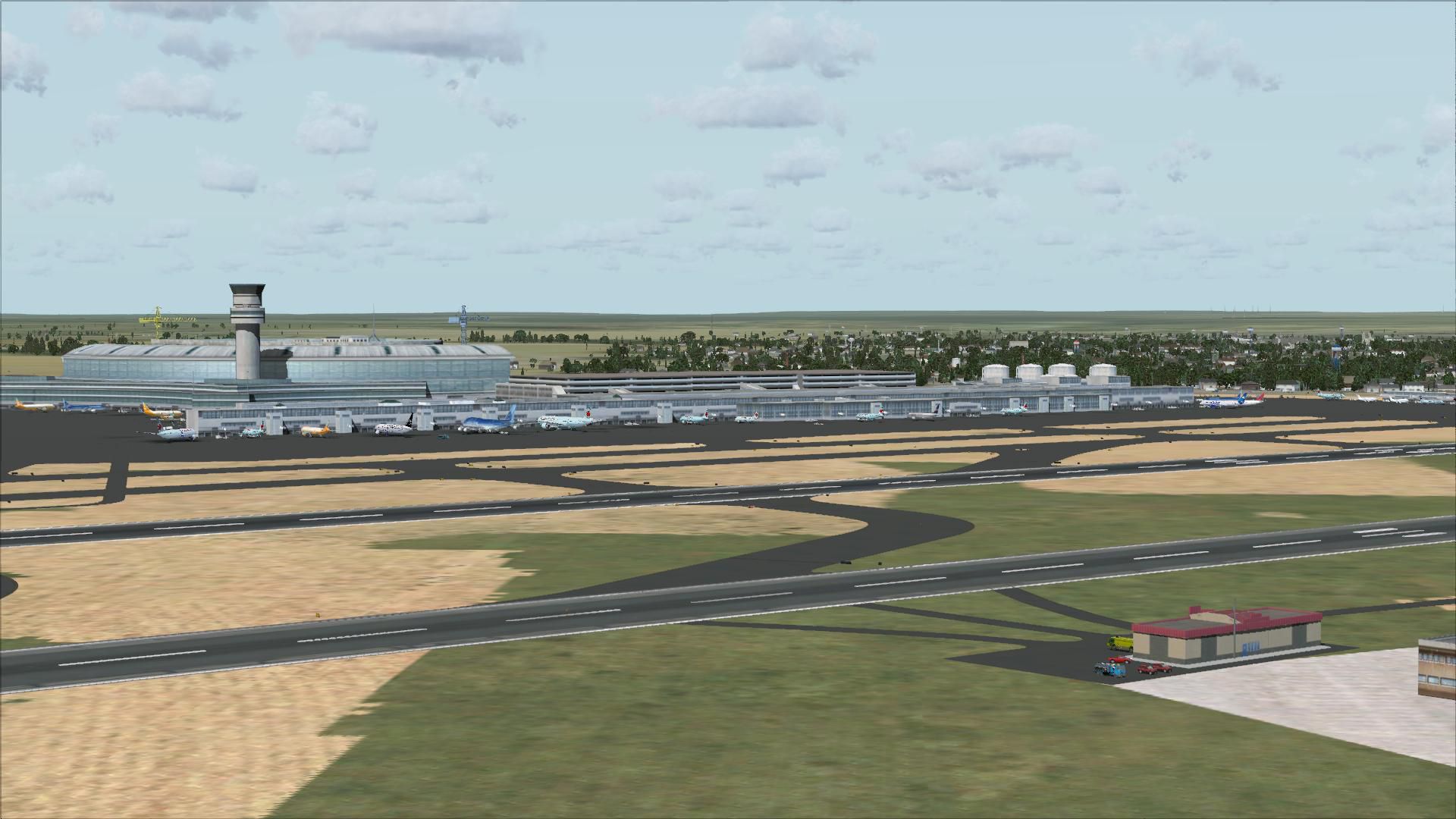
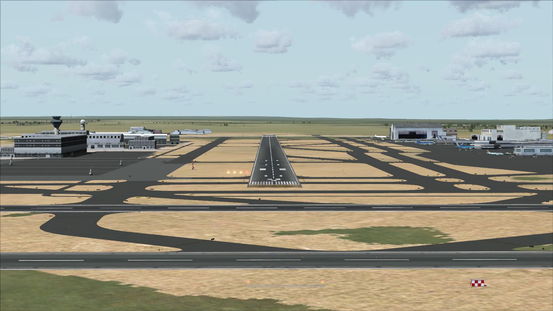
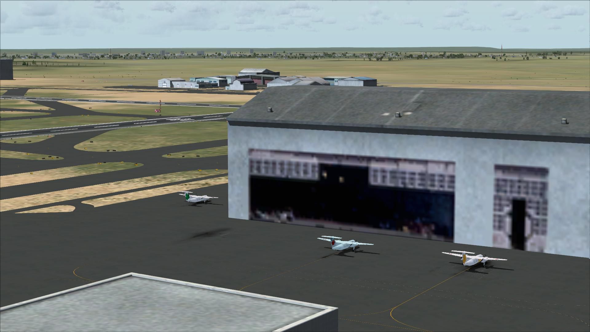
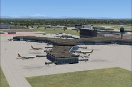
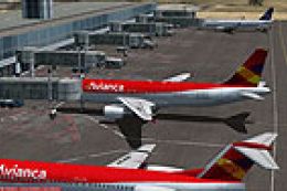
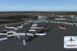
Pearson International Airport (CYYZ) for Toronto receives a full airport makeover for Microsoft Flight Simulator X, rebuilding parking assignments with extra stands, fuel trucks, and support vehicle roads plus improved tower-view sightlines. Two included BGL options deliver standard operations or activated crosswind runway use so all five runways can handle takeoffs and landings.

 Canada
 - File: fsxcyyza.zip
- Size:4.32 MB
- Scan:
Clean (3d)

- Access:Freeware
- Content:Everyone
Pearson International Airport (CYYZ), Toronto, Ontario, Canada update. By Ray Smith.
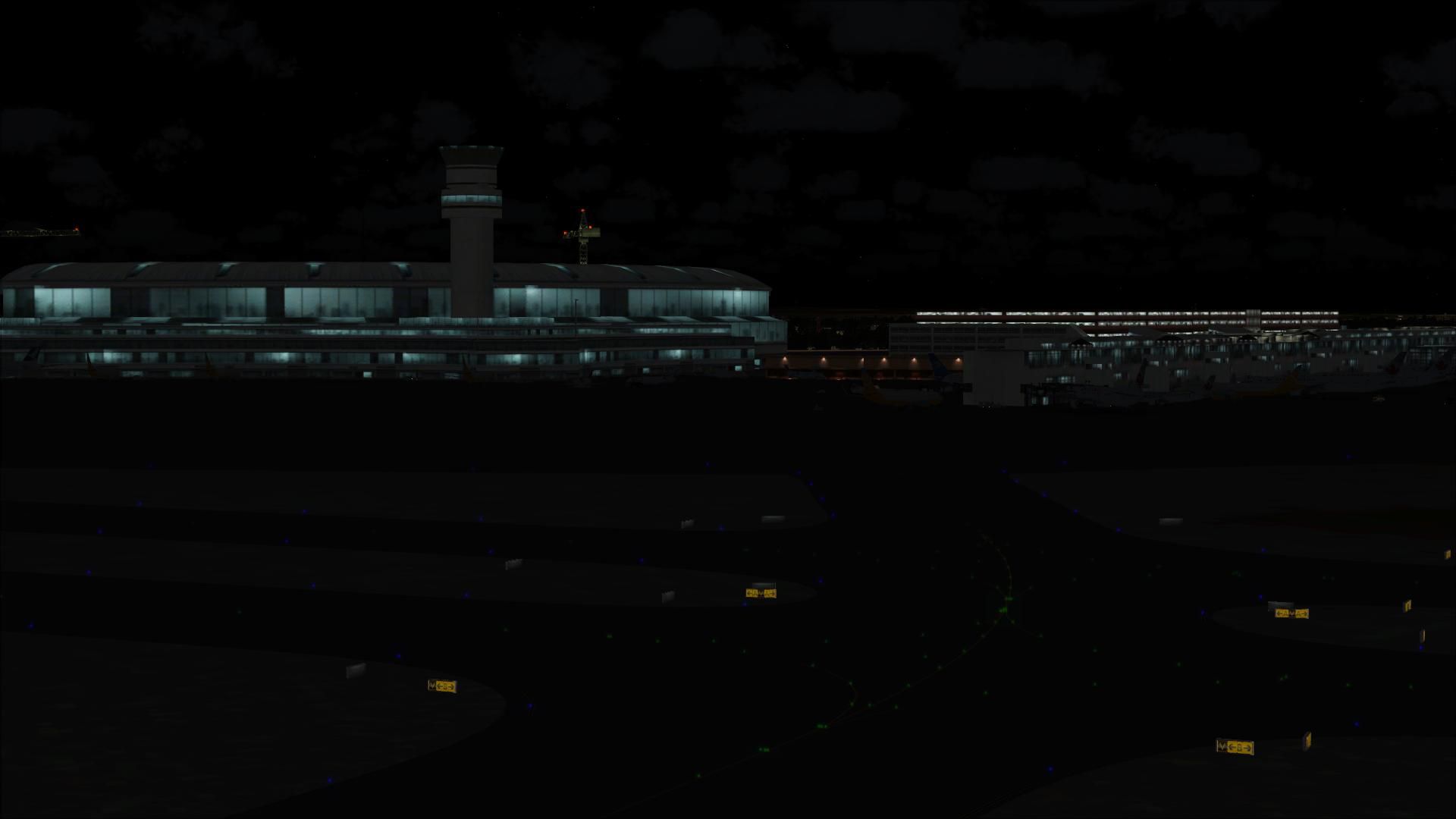
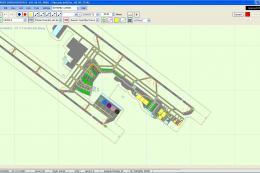
I have given this airport a total makeover designed with the latest version of ADE (v1.40) with 2 files made only for the FSX default airport: one with the Crosswind rwy's operating, now activated by ADE where all 5 rwy's will be used for takeoff/landing and one as the default rwy operation: assigned parking with extra parking, extra fuel trucks, support vehicle roads rebuilt and many other improvements, airport views are from the roof of the control tower (when in tower view) please view the readme before installation.
There are 2 BGL files: CYYZ_ADE_RS.BGL and CYYZ_ADE_CW_RS.BGL
The 'CYYZ_ADE_CW_RS.BGL' version is with the Xwind rwys activated and in full operation, the other version CYYZ_ADE_RS.BGLis without. Sssigned parking is the same in both.
PLEASE NOTE: when using ATIS with the CYYZ_ADE_CW_RS.BGL file you will hear the fake rwy's, this is the method used in activating Xwind rwy's created by Jim Vile and should be ignored or if prefered use the version CYYZ_ADE_RS.BGL
To Install:
1. simply take the BGL file of your choice and place it into: Flight Simulator X/Addon Scenery/scenery folder.
2. Start up the Flight sim and the changes will be present.
IMPORTANT NOTE: PLEASE ONLY USE ONE BGL FILE AT A TIME:
ie: make sure there is only ONE 'CYYZ.BGL' FILE in the Addon Scenery/scenery folder at any time, remove/delete any other CYYZ.bgl to avoid incorrect parking.
To Uninstall:
1. Delete/remove the BGL file and the default will then be active.
NOTE: For those that have Acceleration installed will see extra flood lighting in the Cargo areas and some other areas.
Acknowledgements
ADE Utility (freeware) Jon Masterson.
Jim Vile for his Technique that activates crosswind runways
And my ever enduring wife to put up with the hours spent making these files.
TIP: when at CYYZ in tower view: go to your control settings and look for the "View track/pan Toggle" allocate a keyboard key stroke to it (i allocated a button on my controller) this will unlock the user aircraft, then you can use the hat switch to pan 360 degrees around the airport, hitting the key stroke again (in my case a button) will return you to the user aircraft position.
Enjoy and happy flying.
Ray
Images & Screenshots


Finding the Scenery
- FSX/Prepar3D Coordinates:
-
43.67770000,-79.62480000
Use the downloaded flight plan file by launching FSX/P3D, selecting "Load Flight Plan" in the flight planner, and choosing the .pln file. Your aircraft will be positioned directly at the add-on’s location. - Decimal Degrees (DD):
-
Latitude: 43.677700°
Longitude: -79.624800° - Degrees, Minutes, Seconds (DMS):
-
Latitude: 43° 40' 39.720" N
Longitude: 79° 37' 29.280" W
Map Location
The archive fsxcyyza.zip has 27 files and directories contained within it.
File Contents
This list displays the first 500 files in the package. If the package has more, you will need to download it to view them.
| Filename/Directory | File Date | File Size |
|---|---|---|
| CYYZ_ADE_CW_RS.BGL | 04.19.09 | 132.36 kB |
| CYYZ_ADE_RS.BGL | 04.17.09 | 131.80 kB |
| ReadMe.txt | 04.16.09 | 2.64 kB |
| FSX_cyyz_ade_rs | 04.04.09 | 0 B |
| flyawaysimulation.txt | 10.29.13 | 959 B |
| Go to Fly Away Simulation.url | 01.22.16 | 52 B |
| Screenshots | 08.28.19 | 0 B |
| screen-1.jpg | 08.24.19 | 65.04 kB |
| screen-10.jpg | 08.24.19 | 645.26 kB |
| screen-11.jpg | 08.24.19 | 229.87 kB |
| screen-12.jpg | 08.24.19 | 217.54 kB |
| screen-13.jpg | 08.24.19 | 226.62 kB |
| screen-14.jpg | 08.24.19 | 213.17 kB |
| screen-15.jpg | 08.24.19 | 218.92 kB |
| screen-16.jpg | 08.24.19 | 224.80 kB |
| screen-17.jpg | 08.24.19 | 169.66 kB |
| screen-18.jpg | 08.24.19 | 337.82 kB |
| screen-19.jpg | 08.24.19 | 204.09 kB |
| screen-2.jpg | 08.24.19 | 67.12 kB |
| screen-20.jpg | 08.24.19 | 218.04 kB |
| screen-3.jpg | 08.24.19 | 70.49 kB |
| screen-4.jpg | 08.24.19 | 208.40 kB |
| screen-5.jpg | 08.24.19 | 213.05 kB |
| screen-6.jpg | 08.24.19 | 212.14 kB |
| screen-7.jpg | 08.24.19 | 262.15 kB |
| screen-8.jpg | 08.24.19 | 271.10 kB |
| screen-9.jpg | 08.24.19 | 230.14 kB |
Installation Instructions
Most of the freeware add-on aircraft and scenery packages in our file library come with easy installation instructions which you can read above in the file description. For further installation help, please see our Flight School for our full range of tutorials or view the README file contained within the download. If in doubt, you may also ask a question or view existing answers in our dedicated Q&A forum.


0 comments
Leave a Response