FSX Marion Municipal Airport Scenery
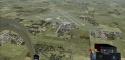
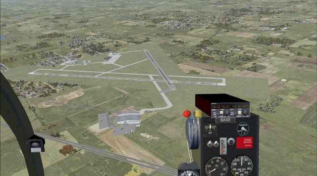
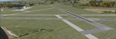
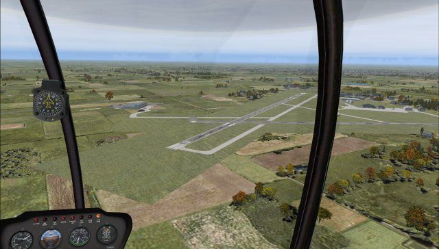
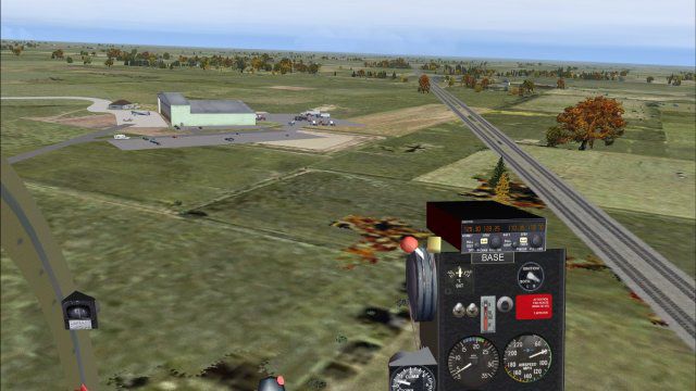
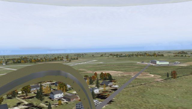
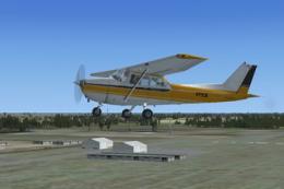
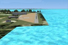
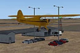
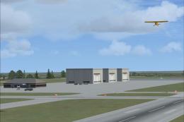
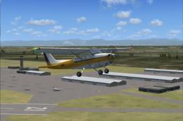
Marion Municipal Airport (KMNN) scenery refreshes this Ohio field with an reopened runway, corrected building placement using default library assets, and added details such as people and objects in FSX. All runways feature flashing end strobes and PAPI guidance for clearer approaches and night operations.


 United States of America
 - File: kmnn_jrm.zip
- Size:747.3 KB
- Scan:
Clean (27d)

- Access:Freeware
- Content:Everyone
Marion Municipal Airport, (KMNN), Ohio (OH). Opened FSX closed runway, proper placement of buildings with FSX MS library. By Jimmy R. Martin. (See also KMNN_MISSINGFILES.ZIP).

Marion Municipal Airport Scenery.
Nice airport in Ohio. FSX had closed one runway which Air Nav shows as open. It is now open. Somewhat proper placement of buildings with FSX file library buildings, objects and people. All runways have flashing end strobes and PAPI.
Created with Airport Design Editor by Scruffy Duck.
------
FS Genesis terrain mesh.
Active Sky Advanced.
Ultimate Terrain X.
Print Screen Delux.
Windows 7 Ultimate* 64 bit (*a must for smooth flight simming).
GeForce 275 video card.
Gigabite EP45-UD3R with 8gb DDR2 RAM.
All scenery sliders set to maximum.
------
Simply place the two scenery files into your FSX/addon scenery/scenery folder. Start up FS and enjoy!
If you have an Ohio folder or other folder you wish to place them in then side these scenery files into it.
1-Delete that scenery folder.
2-ADD that scenery folder.
This will update the contents of that folder.
This does not have to be done in the first method.
Marion Municipal Airport Scenery.
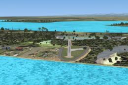
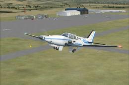
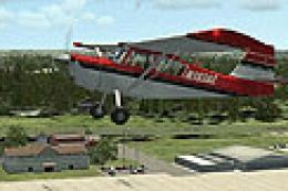
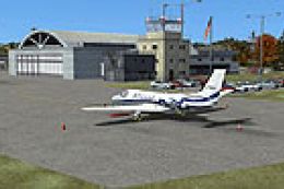
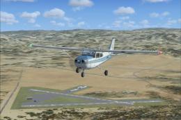
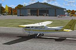
Images & Screenshots


Finding the Scenery
- FSX/Prepar3D Coordinates:
-
40.61690000,-83.06310000
Use the downloaded flight plan file by launching FSX/P3D, selecting "Load Flight Plan" in the flight planner, and choosing the .pln file. Your aircraft will be positioned directly at the add-on’s location. - Decimal Degrees (DD):
-
Latitude: 40.616900°
Longitude: -83.063100° - Degrees, Minutes, Seconds (DMS):
-
Latitude: 40° 37' 00.840" N
Longitude: 83° 03' 47.160" W
Map Location
The archive kmnn_jrm.zip has 17 files and directories contained within it.
File Contents
This list displays the first 500 files in the package. If the package has more, you will need to download it to view them.
| Filename/Directory | File Date | File Size |
|---|---|---|
| file_id.diz | 10.19.09 | 158 B |
| readme.txt | 10.19.09 | 1.08 kB |
| scenery | 10.19.09 | 0 B |
| screenshots | 10.19.09 | 0 B |
| 1PS0057.jpg | 10.19.09 | 47.91 kB |
| 1PS0059.jpg | 10.19.09 | 32.06 kB |
| Kmnn main areal.jpg | 10.19.09 | 388.93 kB |
| P1S0055.jpg | 10.19.09 | 50.87 kB |
| P1S0063.jpg | 10.19.09 | 55.30 kB |
| P1S0064.jpg | 10.19.09 | 56.03 kB |
| PS10056.jpg | 10.19.09 | 36.20 kB |
| PS10060.jpg | 10.19.09 | 51.43 kB |
| pspbrwse.jbf | 10.19.09 | 17.17 kB |
| WEB.gif | 10.19.09 | 12.13 kB |
| KMNN_jRm | 10.19.09 | 0 B |
| flyawaysimulation.txt | 10.29.13 | 959 B |
| Go to Fly Away Simulation.url | 01.22.16 | 52 B |
Installation Instructions
Most of the freeware add-on aircraft and scenery packages in our file library come with easy installation instructions which you can read above in the file description. For further installation help, please see our Flight School for our full range of tutorials or view the README file contained within the download. If in doubt, you may also ask a question or view existing answers in our dedicated Q&A forum.

0 comments
Leave a Response