FSX West Fork Lodge Scenery
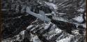
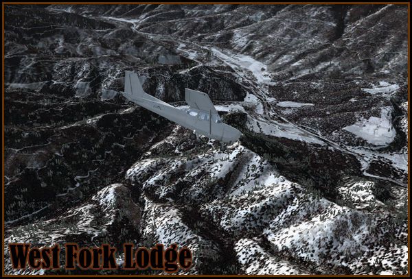
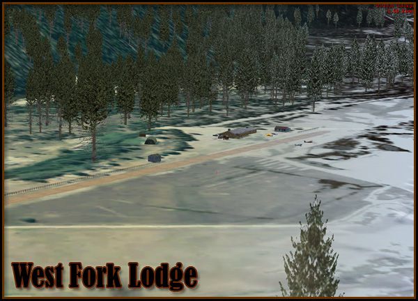
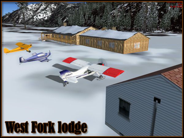
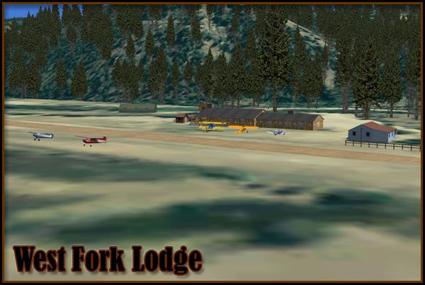
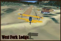
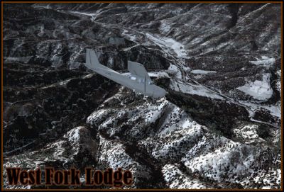
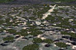
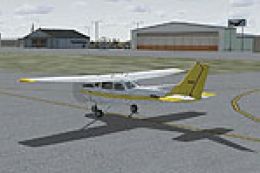
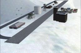
West Fork Lodge brings a rustic dirt airstrip in western Montana to life in FSX, ideal for backcountry hops for coffee or a classic $100 burger. Photoreal terrain with seasonal variation, a lodge that picks up winter snow, and layered ground polygons blend the runway into the surrounding landscape with a distinctive, natural texture.
 United States of America
 - File: westfork_install.zip
- Size:76.64 MB
- Scan:
Clean (24d)

- Access:Freeware
- Content:Everyone
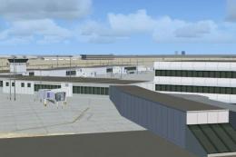
West Fork Lodge Scenery. A small, dirt airstrip in western Montana (MT). West Fork Lodge is a nice getaway for a $100 burger or cup of coffee. The scenery was more of an experiment with object conditions and ground polygon layering. It includes photoreal terrain with seasonal variations, a detailed "lodge" which gains some snow in the winter, and a runway comprised of three ground polygons blended together to create a unique texture. By Kobbe Farwick.
West Fork Lodge Scenery.
Installation:
1) Run the West Fork Lodge installer.
2) Open Flight Simulator X...
3) Navigate to the Settings menu...
4) On the far right, click Scenery Library...
5) Now click Add Area...
6) Navigate to the Addon Scenery folder, then click on the West Fork folder, then click OK.
7) Restart Flight Simulator X and you are ready to go!
Kobbe Farwick (Real Scenes)
Credits:
Many thanks to Arno and others at FS Developer for help on issues such as seasonal texturing.
West Fork Lodge Scenery.
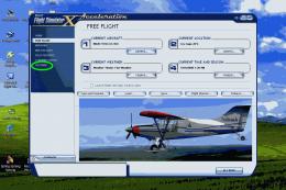
Images & Screenshots


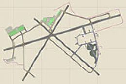
Finding the Scenery
- FSX/Prepar3D Coordinates:
-
45.91000000,-114.22000000
Use the downloaded flight plan file by launching FSX/P3D, selecting "Load Flight Plan" in the flight planner, and choosing the .pln file. Your aircraft will be positioned directly at the add-on’s location. - Decimal Degrees (DD):
-
Latitude: 45.910000°
Longitude: -114.220000° - Degrees, Minutes, Seconds (DMS):
-
Latitude: 45° 54' 36.000" N
Longitude: 114° 13' 12.000" W
Map Location
The archive westfork_install.zip has 10 files and directories contained within it.
File Contents
This list displays the first 500 files in the package. If the package has more, you will need to download it to view them.
| Filename/Directory | File Date | File Size |
|---|---|---|
| 1.jpg | 10.26.09 | 107.00 kB |
| 2.jpg | 10.26.09 | 189.70 kB |
| 3.jpg | 10.26.09 | 142.90 kB |
| 4.jpg | 10.26.09 | 123.55 kB |
| 5.jpg | 10.26.09 | 136.19 kB |
| WestFork_Readme.txt | 10.28.09 | 683 B |
| wfork_inst.exe | 10.28.09 | 76.37 MB |
| file_id.diz | 10.28.09 | 508 B |
| flyawaysimulation.txt | 10.29.13 | 959 B |
| Go to Fly Away Simulation.url | 01.22.16 | 52 B |
Installation Instructions
Most of the freeware add-on aircraft and scenery packages in our file library come with easy installation instructions which you can read above in the file description. For further installation help, please see our Flight School for our full range of tutorials or view the README file contained within the download. If in doubt, you may also ask a question or view existing answers in our dedicated Q&A forum.


0 comments
Leave a Response