
 FSX Scenery
Arturo Michelena International Airport Update
Scenery Arturo Michelena International Airport, Venezuela. This is Arturo Mic…
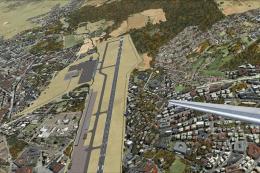
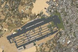
Arturo Michelena International Airport (SVVA) brings Valencia, Venezuela to life with improved taxiway designators plus updated gate, cargo, and general aviation parking for more believable regional and Caribbean operations. Designed for Microsoft Flight Simulator X, it supports hub-style traffic for local carriers and international routes across the Caribbean, Colombia, Europe, and Puerto Rico.
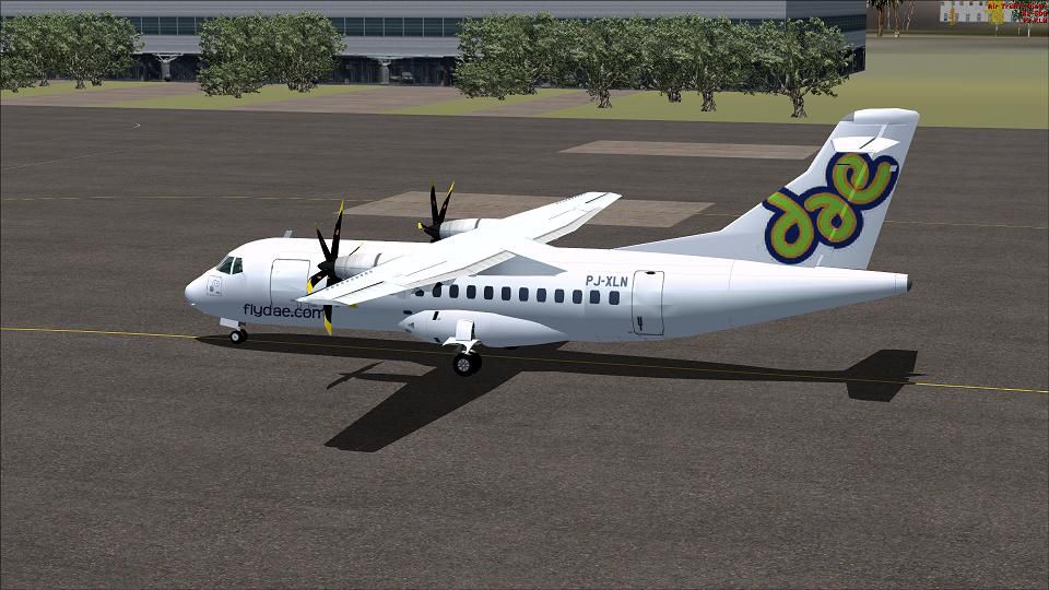

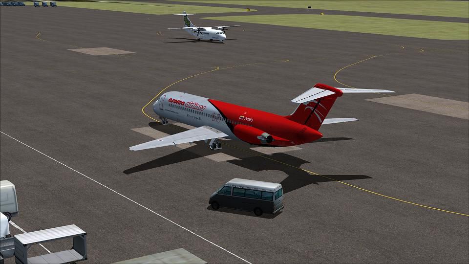
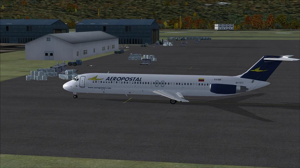
Scenery Arturo Michelena International Airport (SVVA), Valencia, Venezuela. This is a hub for Aserca Airlines, Aeropostal and Avior Airlines. Flights are domestic and international throughout the Caribbean, Columbia, Europe and Puerto Rico. By Shanard Letang.
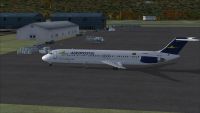
Screenshot of Arturo Michelena International Airport Scenery.
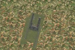
This is Arturo Michelena International Airport (SVVA), Valencia, Venezuela for Flight simulator X. Added taxiways designators, general aviation, cargo and persecptive parking of gates.
Installation:
1. Put the BGLS into the Addon Scenery/scenery folder in your main FSX directory.
Uninstalling:
Remove the BGL from the Addon Scenery/scenery folder that's it.
Note: My buildings will look different because I'm using Ultimate Airport Environment X.
I hope you enjoy the Arturo Michelena International Airport (SVVA).
Shanard Letang
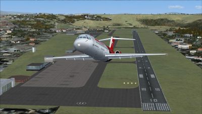
Screenshot of plane taking off from Arturo Michelena International Airport.
Free for all simmers · 326.29 KB · Scanned clean
Download speed: Free tier is capped at 0.5 Mbps. PRO members download at full line speed.
FSX\Addon Scenery\ containing scenery and texture sub-folders.readme.txt or README file. It tells you exactly where files go, what dependencies are needed, and any quirks specific to this add-on.Use these coordinates to fly directly to this location once the mod is installed.
10.14970000,-67.92840000
Launch FSX or Prepar3D and use Flights → Load to open the downloaded .pln file. Your aircraft will be positioned at this location.
The archive arturomichelenaintl.zip has 9 files and directories contained within it.
This list displays the first 500 files in the package. If the package has more, you will need to download it to view them.
| Filename/Directory | File Date | File Size |
|---|---|---|
| Readme.txt | 10.05.10 | 623 B |
| SVVA1.JPG | 10.06.10 | 65.05 kB |
| SVVA2.JPG | 10.06.10 | 81.90 kB |
| SVVA3.JPG | 10.06.10 | 73.25 kB |
| SVVA4.JPG | 10.06.10 | 90.04 kB |
| SVVA_ADEX_SEL.BGL | 10.06.10 | 23.61 kB |
| Thumbs.db | 10.06.10 | 14.50 kB |
| flyawaysimulation.txt | 10.29.13 | 959 B |
| Go to Fly Away Simulation.url | 01.22.16 | 52 B |
More FSX & P3D add-ons hand-picked based on this download.
FSX Scenery
Scenery Arturo Michelena International Airport, Venezuela. This is Arturo Mic…
 FSX Scenery
Scenery Arturo Merino Benitez International Airport (SCEL), Santiago, Chile. …
 FSX Scenery
Princess Juliana International Airport (TNCM) in Saint Marteen, Netherlands A…
 FSX Scenery
Barbados International Airport (TBPB). Grantley Adams International Airport f…
 FSX Scenery
Dubai International Airport (OMDB), Dubai. Includes a new passenger terminal …
 FSX Scenery
Soekarno-Hatta International Airport (WIII), Jakarta, Indonesia. An update to…
 FSX Scenery
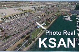
San Diego International Airport, California (CA), USA. This photoreal scenery…
 FSX Scenery
Suvarnabhumi International Airport (VTBS), Bangkok, Thailand, v1.1. Includes …
Be the first to leave a comment on this download.
Be the first to share your thoughts on this download.