FSX Wrangell Airport Scenery
Wrangell Airport (PAWG) in Alaska gets a detailed refresh that turns the default field into a more convincing mountain-and-lake destination in Microsoft Flight Simulator X. Expect upgraded airport buildings, ramp vehicles, static aircraft, and animated atmosphere with people, improving immersion for challenging arrivals and departures.

 United States of America
 - File: wrangell_jbg_v1.zip
- Size:407.05 KB
- Scan:
Clean (25d)

- Access:Freeware
- Content:Everyone
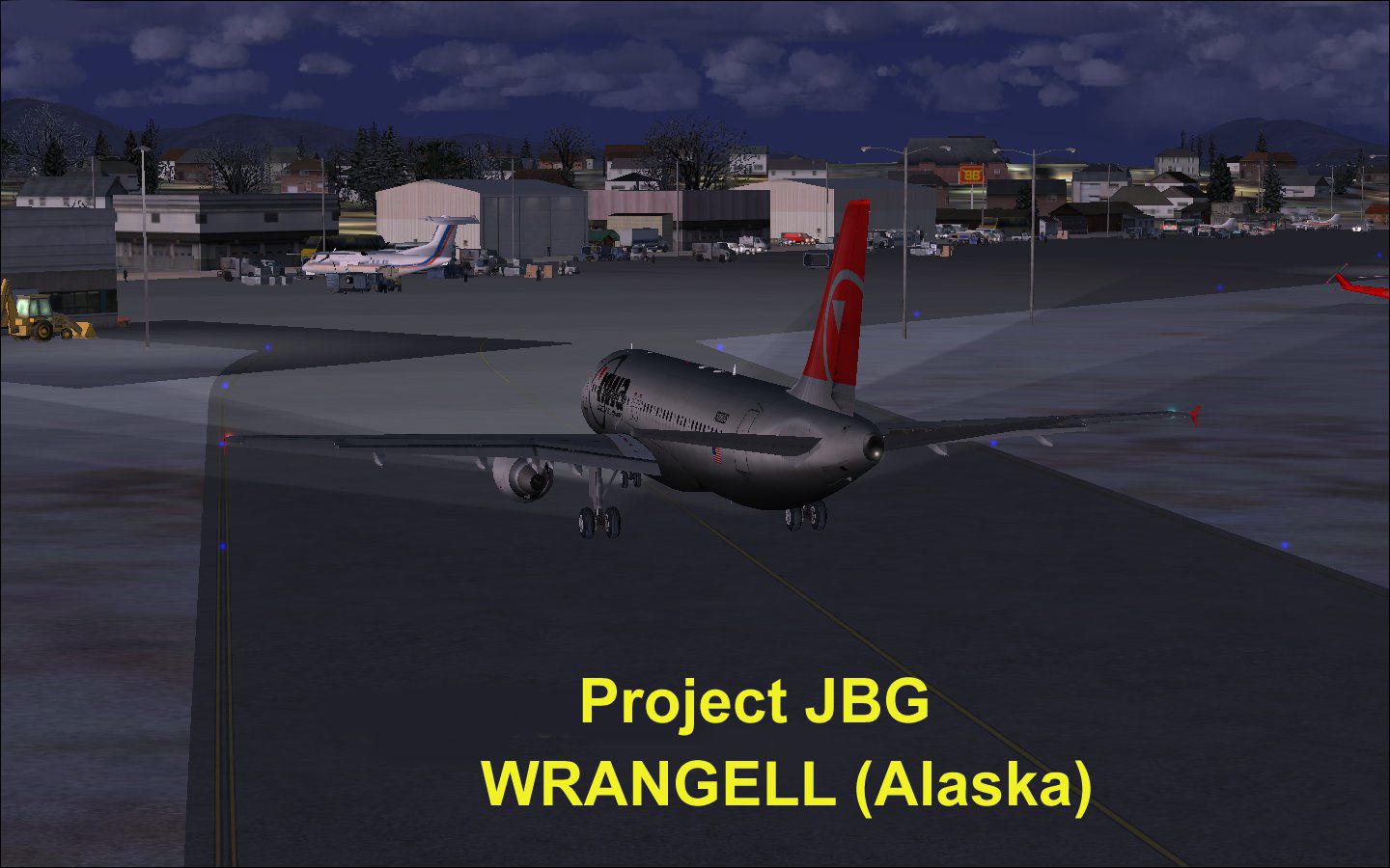
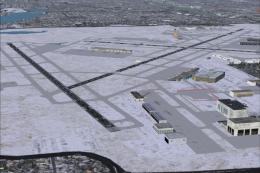
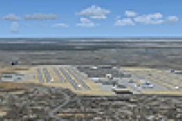
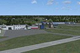
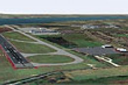
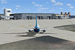
Wrangell Airport (PAWG), Alaska (AK). Another default airport brought to life for your enjoyment by "Project JBG". This is an update of the default FSX airport PAWG of Wrangell, Alaska situated between mountains and lakes offering a true challange to every pilots. Buildings, vehicles, static aircraft, people, etc. were added. This compilation was made using ADE 9x version 1.47. By Joe Garcia.
Screenshot of Wrangell Airport Scenery.
Another default FSX airport brought to life for your enjoyment by "Project JBG".
There is an ILS on Runway 10 but no guideslope, so you shouldn't follow the ATC instructions if using ILS approach.
Credit to Jean-Pierre Fillion (merci) for his static aircrafts - Modified textures by Joe Garcia.
This compilation was made using ADE 9x version 1.47 with FSX (not tested in any other versions of FS).
INSTALLATION:
1. Extract all files to a temporary folder.
2. Copy and paste the folder wrangell_jbg_v1 and its content to the directory: Microsoft flightsimulator X/addon scenery.
3. start your FSX and go to "settings".
4. click "add scenery" then go the the wrangle_jbg_v1 folder and should add it to the top of the list of sceneries.
Enjoy it!
Feedback are most welcome. Requests are considered.
Joe Garcia
Images & Screenshots

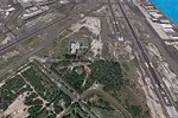
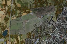
Finding the Scenery
- FSX/Prepar3D Coordinates:
-
56.48430000,-132.36900000
Use the downloaded flight plan file by launching FSX/P3D, selecting "Load Flight Plan" in the flight planner, and choosing the .pln file. Your aircraft will be positioned directly at the add-on’s location. - Decimal Degrees (DD):
-
Latitude: 56.484300°
Longitude: -132.369000° - Degrees, Minutes, Seconds (DMS):
-
Latitude: 56° 29' 03.480" N
Longitude: 132° 22' 08.400" W
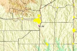
Map Location
The archive wrangell_jbg_v1.zip has 11 files and directories contained within it.
File Contents
This list displays the first 500 files in the package. If the package has more, you will need to download it to view them.
| Filename/Directory | File Date | File Size |
|---|---|---|
| readme.txt | 02.16.11 | 1.10 kB |
| Wrangell Alaska.jpg | 02.16.11 | 144.34 kB |
| PAWG_ADEX_JBG 2.BGL | 02.16.11 | 312.12 kB |
| PAWG_ADEX_JBG 2_CVX.bgl | 02.16.11 | 876 B |
| 212.bmp | 02.10.11 | 682.75 kB |
| 212_2.bmp | 02.10.11 | 341.42 kB |
| airInuitDash8.bmp | 02.10.11 | 85.42 kB |
| c402.bmp | 02.10.11 | 170.75 kB |
| roue.bmp | 02.10.11 | 2.75 kB |
| flyawaysimulation.txt | 10.29.13 | 959 B |
| Go to Fly Away Simulation.url | 01.22.16 | 52 B |
Installation Instructions
Most of the freeware add-on aircraft and scenery packages in our file library come with easy installation instructions which you can read above in the file description. For further installation help, please see our Flight School for our full range of tutorials or view the README file contained within the download. If in doubt, you may also ask a question or view existing answers in our dedicated Q&A forum.
1 comments
Leave a ResponseThe content of the comments below are entirely the opinions of the individual posting the comment and do not always reflect the views of Fly Away Simulation. We moderate all comments manually before they are approved.
Very cool addition for us pilots who like to do freight dog work throughout in Alaska. The ILS was fixed too from the default!