FSX 47 Creek Scenery
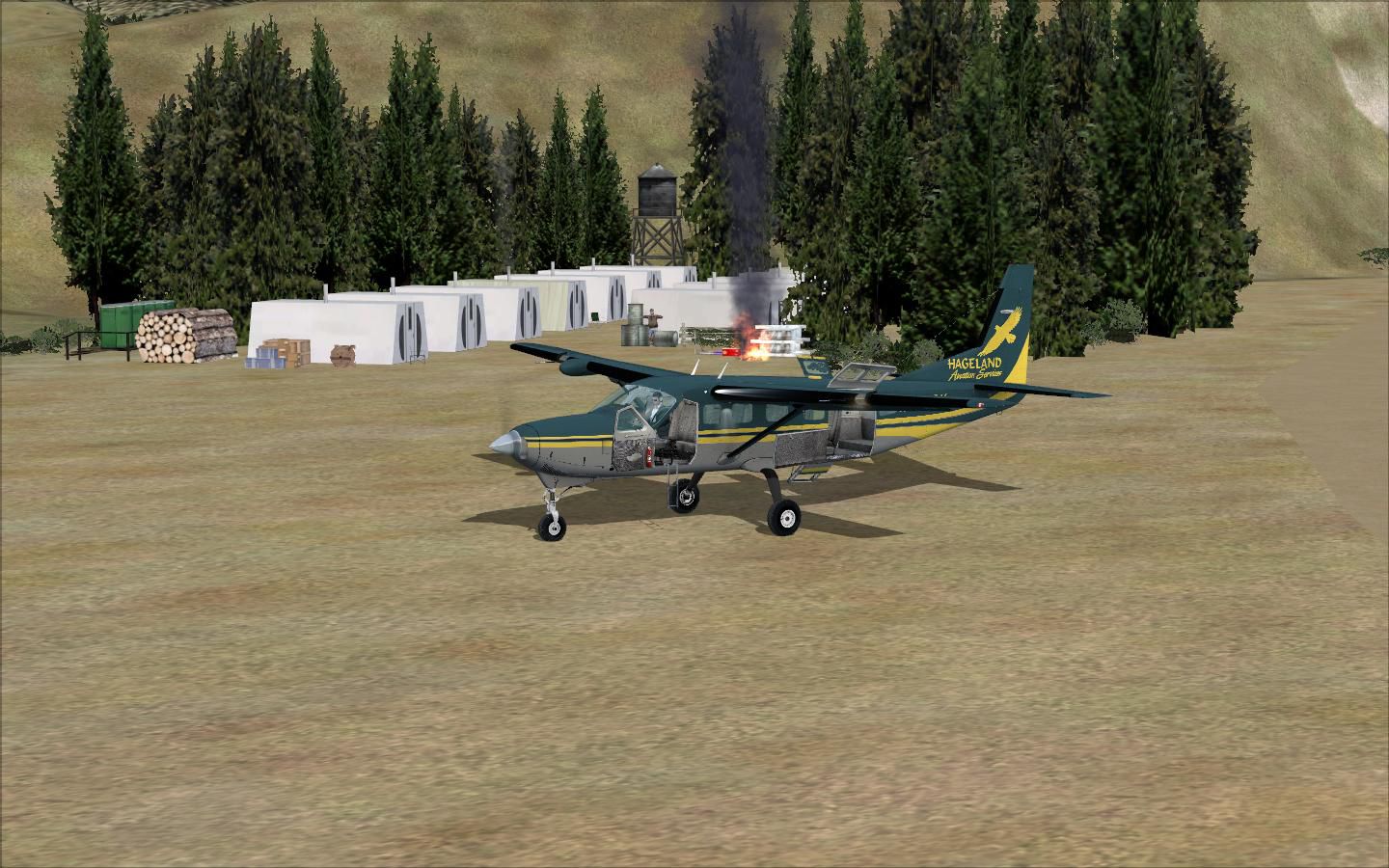
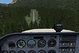
47 Creek brings the rugged Alaskan mining strip from “Flying Wild Alaska” into FSX with custom-made models and hand-placed objects that capture the remote camp atmosphere. An included PAFS altitude file blends the area into the surrounding terrain for more convincing approaches and bush flying operations.

 United States of America
 - File: 47_creek.zip
- Size:549.38 KB
- Scan:
Clean (27d)

- Access:Freeware
- Content:Everyone
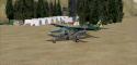
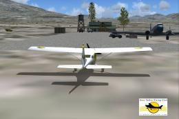
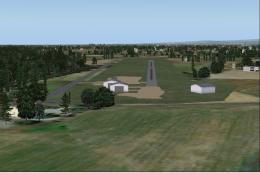
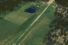
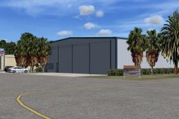
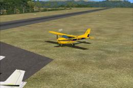
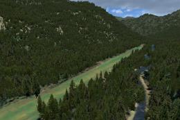
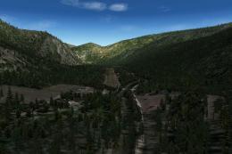
47 Creek. As seen in episode 2 of "Flying Wild Alaska", made with custom models and objects. By Jacques Botha and Frits Beyer.

Screenshot of 47 Creek Scenery.
Windows 7 users follow the following instructions:
1.Unzip "47_Creek_mine.zip" to a temp folder.
2.Copy the "47_creek" folder to your "FSX/scenery" folder.
3.Copy the "AFX_PAFS_ALT.bgl" file to your "FSX/scenery/world/scenery" folder.
4.Run FSX.
5.On the main page go to "settings".
6.Now click on "scenery library".
7.Now click on "Add area" and search for the scenery folder.
8.Double click on the scenery folder and look for the"47_creek" folder.
9.Double click on this folder and then you shall see a texture and a scenery folder.Click on the white area outside the two folders.
10.The scenery will now load !
11.Go to free flight and choose "PAFS" to start your flight !
Windows Vista and XP users :
1.Unzip "47_Creek_mine.zip" to a temp folder.
2.Copy the "47_creek" folder to your "FSX/scenery" folder.
3.Copy the "AFX_PAFS_ALT.bgl" file to your "FSX/scenery/world/scenery" folder.
4.Run FSX.
5.On the main page go to "settings".
6.Now click on "scenery library".
7.Now click on "Add area" and search for the scenery folder.
8.Double click on the scenery folder and look for the"47_creek" folder.
9.NB !!!!!! click on this folder only once ! and then click on "OK"
10.The scenery will now load !
11.Go to free flight and choose "PAFS" to start your flight !
Enjoy !
Images & Screenshots

Finding the Scenery
- FSX/Prepar3D Coordinates:
-
63.01860000,-154.35670000
Use the downloaded flight plan file by launching FSX/P3D, selecting "Load Flight Plan" in the flight planner, and choosing the .pln file. Your aircraft will be positioned directly at the add-on’s location. - Decimal Degrees (DD):
-
Latitude: 63.018600°
Longitude: -154.356700° - Degrees, Minutes, Seconds (DMS):
-
Latitude: 63° 01' 06.960" N
Longitude: 154° 21' 24.120" W
Map Location
The archive 47_creek.zip has 18 files and directories contained within it.
File Contents
This list displays the first 500 files in the package. If the package has more, you will need to download it to view them.
| Filename/Directory | File Date | File Size |
|---|---|---|
| 47_Creek_mine | 03.09.11 | 0 B |
| 47_Creek | 03.09.11 | 0 B |
| scenery | 03.09.11 | 0 B |
| 001_AFX_PAFS.bgl | 03.09.11 | 1.51 kB |
| 47_CREEK_EXCL_FLAT_Scenery.BGL | 03.09.11 | 112 B |
| 47_lib.bgl | 03.09.11 | 6.92 kB |
| cvx47_CREEK_EXCL_FLAT.BGL | 03.09.11 | 464 B |
| PAFS-windsock.BGL | 03.09.11 | 154 B |
| PAFS_EZ_Scenery.bgl | 03.09.11 | 2.53 kB |
| texture | 03.09.11 | 0 B |
| PAKA_Tent.dds | 03.04.11 | 682.80 kB |
| PAKA_Tent_LM.dds | 03.04.11 | 682.80 kB |
| 47_Creek.jpg | 03.09.11 | 216.65 kB |
| AFX_PAFS_ALT.bgl | 03.09.11 | 519 B |
| PAFS_Readme.txt | 03.09.11 | 2.17 kB |
| Thumbnail.jpg | 03.09.11 | 69.02 kB |
| flyawaysimulation.txt | 10.29.13 | 959 B |
| Go to Fly Away Simulation.url | 01.22.16 | 52 B |
Installation Instructions
Most of the freeware add-on aircraft and scenery packages in our file library come with easy installation instructions which you can read above in the file description. For further installation help, please see our Flight School for our full range of tutorials or view the README file contained within the download. If in doubt, you may also ask a question or view existing answers in our dedicated Q&A forum.


0 comments
Leave a Response