FSX Middleton Field Scenery
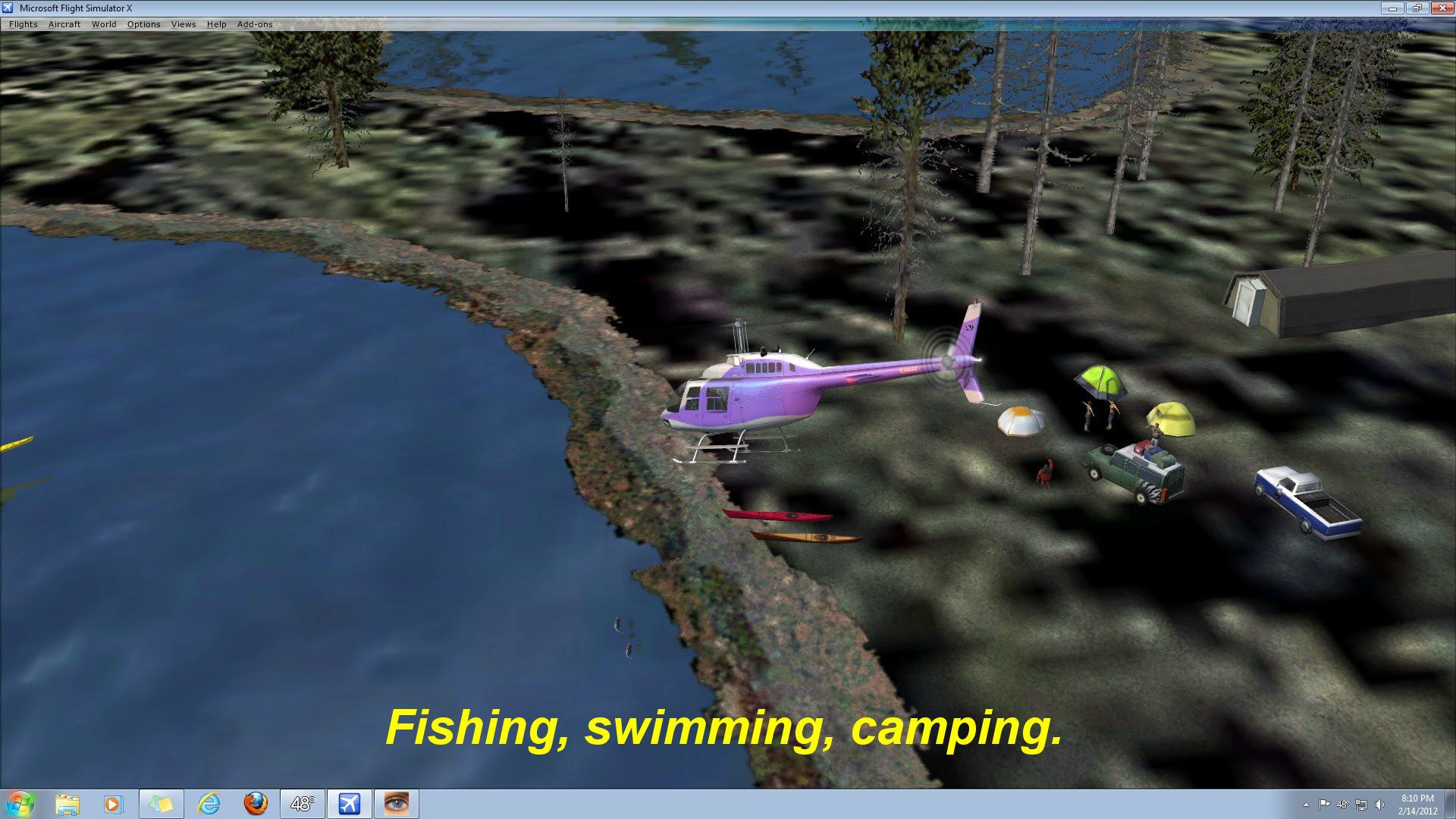
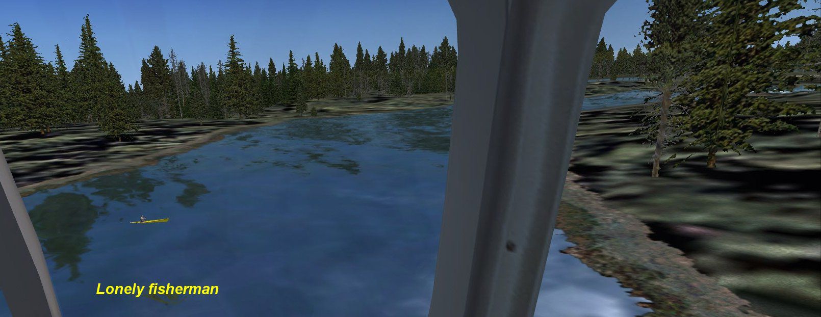
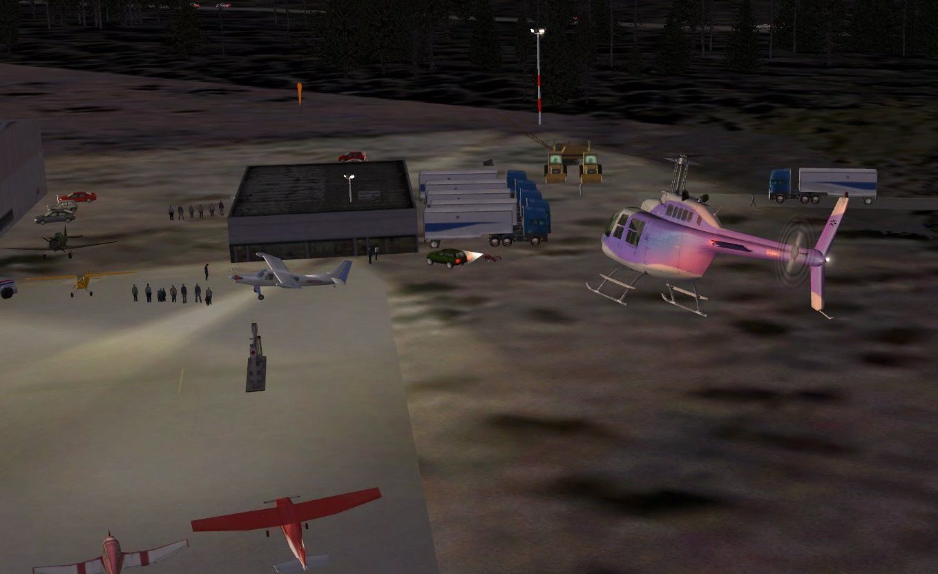
Middleton Field (KGZH) in Evergreen, Alabama brings a lively small-airport scene to FSX with custom lighting and detailed lakeside touches like campers, fishing spots, and boats, using some FSX Gold library objects. For the most accurate camping and boating placement, requires Ultimate Terrain X.


 United States of America
 - File: kgzh_fxxp.zip
- Size:1.32 MB
- Scan:
Clean (16d)

- Access:Freeware
- Content:Everyone
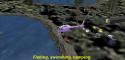
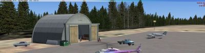
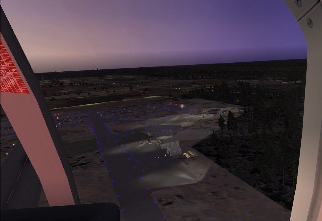
Middleton Field (KGZH), Evergreen, Alabama (AL). Uses FSX Gold for some objects. Includes lighting, campers, fishing, boating, etc. By Jimmy R. Martin.

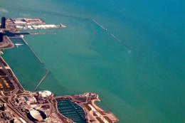
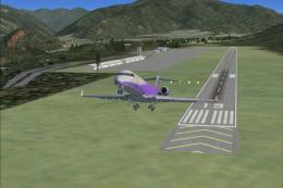
Screenshot of Middleton Field Scenery.
For accurate camping and boating you need ultimate terrain X installed.
Simply place the scenery/Texture files into your addon scenery folder.
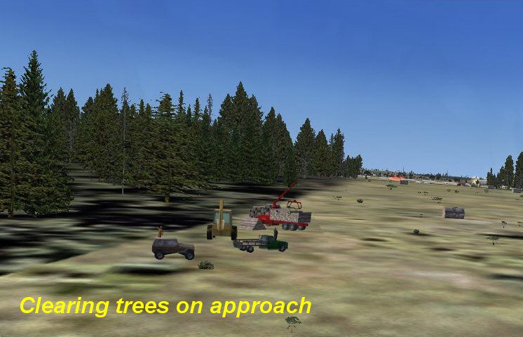
This is NOT photo real.
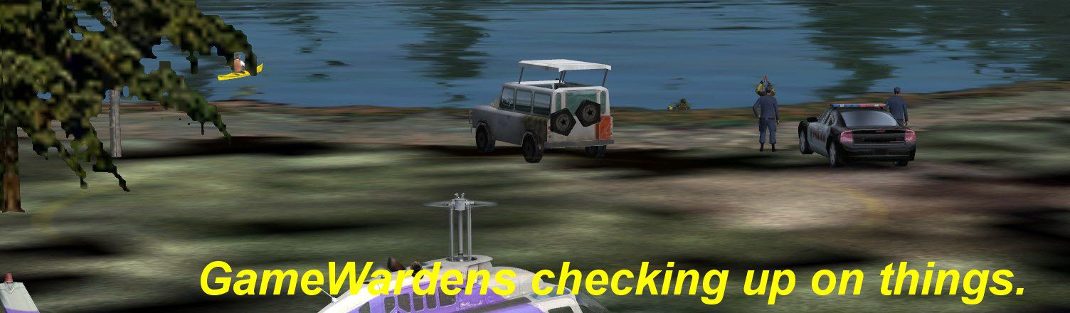
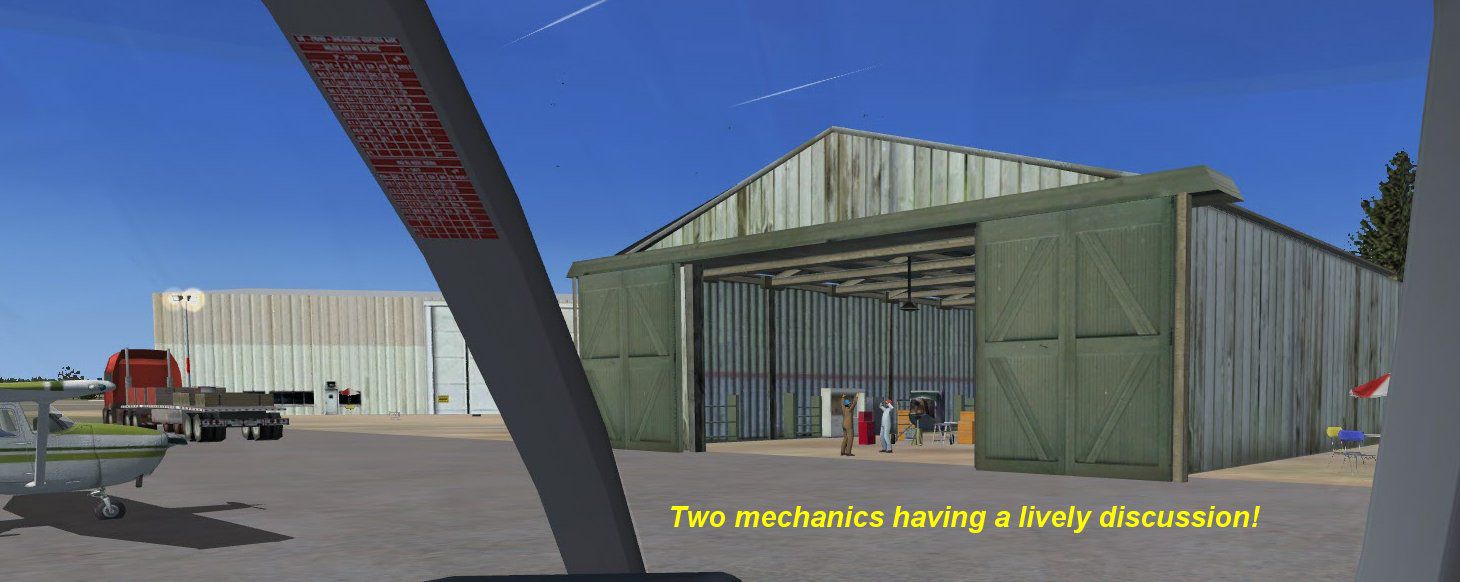
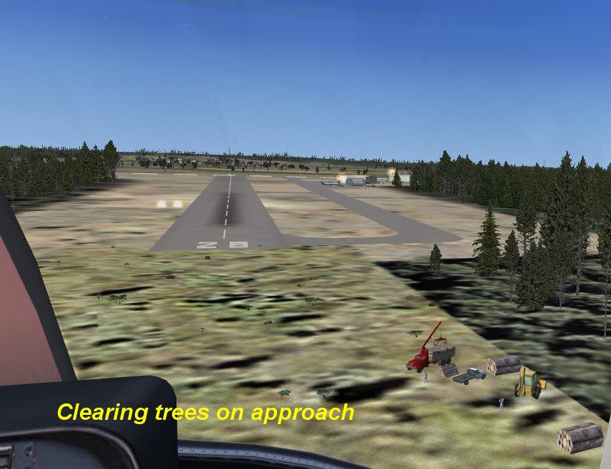
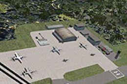
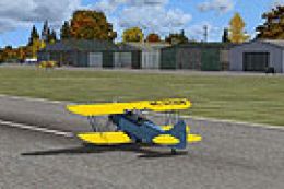
Screenshot of Middleton Field Scenery.
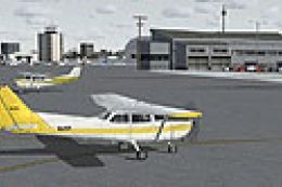
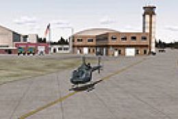
Images & Screenshots

Finding the Scenery
- FSX/Prepar3D Coordinates:
-
31.41600000,-87.04400000
Use the downloaded flight plan file by launching FSX/P3D, selecting "Load Flight Plan" in the flight planner, and choosing the .pln file. Your aircraft will be positioned directly at the add-on’s location. - Decimal Degrees (DD):
-
Latitude: 31.416000°
Longitude: -87.044000° - Degrees, Minutes, Seconds (DMS):
-
Latitude: 31° 24' 57.600" N
Longitude: 87° 02' 38.400" W
Map Location
The archive kgzh_fxxp.zip has 25 files and directories contained within it.
File Contents
This list displays the first 500 files in the package. If the package has more, you will need to download it to view them.
| Filename/Directory | File Date | File Size |
|---|---|---|
| file_id.diz | 02.14.12 | 123 B |
| PS0410..jpg | 02.14.12 | 109.65 kB |
| PS0412..jpg | 02.14.12 | 202.33 kB |
| PS0413..jpg | 02.14.12 | 151.94 kB |
| PS0414..jpg | 02.14.12 | 297.00 kB |
| PS0415..jpg | 02.14.12 | 114.25 kB |
| PS0417..jpg | 02.14.12 | 65.79 kB |
| PS0418..jpg | 02.14.12 | 97.07 kB |
| PS0420..jpg | 02.14.12 | 78.82 kB |
| PS0421..jpg | 02.14.12 | 123.03 kB |
| Ramp Lighting.txt | 12.04.11 | 1.46 kB |
| readme.txt | 02.14.12 | 382 B |
| scenery | 02.14.12 | 0 B |
| KGZH_ADEX_ADE.BGL | 02.13.12 | 6.22 kB |
| KGZH_ADEX_ADE.xml | 02.13.12 | 63.75 kB |
| KGZH_ADEX_ADE_CVX.bgl | 02.13.12 | 228 B |
| KGZH_ADEX_jRm.ad2.ad2 | 02.13.12 | 104.79 kB |
| KGZH_apt_FXXP.bgl | 02.14.12 | 6.28 kB |
| RampLight_Library.bgl | 01.11.05 | 30.63 kB |
| texture | 02.14.12 | 0 B |
| ESDG_ramp.BMP | 01.09.05 | 32.07 kB |
| ESDG_ramp_lm.BMP | 01.09.05 | 32.07 kB |
| KGZH_FXXP | 02.14.12 | 0 B |
| flyawaysimulation.txt | 10.29.13 | 959 B |
| Go to Fly Away Simulation.url | 01.22.16 | 52 B |
Installation Instructions
Most of the freeware add-on aircraft and scenery packages in our file library come with easy installation instructions which you can read above in the file description. For further installation help, please see our Flight School for our full range of tutorials or view the README file contained within the download. If in doubt, you may also ask a question or view existing answers in our dedicated Q&A forum.

0 comments
Leave a Response