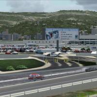
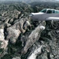
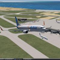
Lebanon flag.

Lebanon

Scenery Mods for Microsoft Flight Simulator X and Prepar3D

Our current selection of scenery mods and expansions covering Lebanon for Microsoft Flight Simulator X and Prepar3D. Completely free to download and use - no registration required. Updated regularly - bookmark to stay up to date.

Preview screenshot

OLBAX V1.0 Beirut International

Rafik Hariri International Airport (OLBA) comes to FSX via Lebor Simulations’ OLBAX v1.0, coupling Bureau Stephan photoreal ground textures with precision-modeled terminals, hangars, aprons and static 3-D assets; designed for seamless interplay with Lebanon Terrain X v1.5, the airport scenery enriches navigation accuracy, gate alignment and night lighting for Beirut approaches.

File Size
140.06 MB
Total Downloads
8.4K
Star Rating
5/5
Screenshots
20
Preview screenshot

Lebanon Complete Photoreal

Covering Lebanon’s entire 10,452 km² landmass with 1 m / pixel photoreal satellite imagery, this 4.73 GB scenery upgrade integrates with FSX, FSX: Steam Edition and Prepar3D v4, meshes seamlessly with FreeMesh X Global, and gives VFR pilots sharper coastlines, detailed mountain ridges and city textures while preserving default autogen and navigation data.

File Size
4.66 GB
Total Downloads
2.1K
Star Rating
4/5
Screenshots
12
Preview screenshot

OLBAX Patch V1.0.1

Sub-version 1.0.1 refines Lebor Simulations’ OLBAX FSX airport by eliminating erroneous red bleed-throughs in the AFCAD ground polygon and realigning mis-placed vegetation objects, delivering cleaner taxiway edge rendering and accurate tree exclusion. Requires the original OLBAX v1.0 scenery library for proper layering.

File Size
91.53 MB
Total Downloads
1.5K
Screenshots
12
Preview screenshot

OLBA Updated

Rafic Hariri International Airport, Beirut, Lebanon, for the default scenery. By Matthew Brooks / Alpha-India Group.

File Size
498.59 KB
Total Downloads
1.2K
Screenshots
2
Preview screenshot

Lebanon TerrainX

Scenery Lebanon TerrainX v1.0. Lebanon Terrain X improves the following landscape aspects of Lebanon in FSX: elevation, coastline, waterclass, region class / landclass and it features the major roads of Lebanon with moving traffic. This scenery pa...

File Size
25.8 MB
Total Downloads
1.2K
Screenshots
2
Preview screenshot

Lebanon TerrainX

Delivering updated DEM mesh, refined hydrography, redrawn coastlines and accurate landclass mapping, FSX Lebanon TerrainX inserts higher-resolution elevation data, seasonal snow coverage, Beirut-area vector polygons and an animated road network with AI traffic; engineered for Microsoft Flight Simulator X and layered beneath OLBAX v1.0 for coherent, performance-friendly regional scenery.

File Size
26.33 MB
Total Downloads
1K
Star Rating
5/5
Screenshots
2
Preview screenshot

OLBA

Beirut International Airport, Lebanon. By Dick Stellweg.

File Size
275.83 KB
Total Downloads
344
Screenshots
2
No image available.

Lebanese Millitary Airports

Julien Lahoud’s FSX add-on delivers updated Lebanese military airfields—OLKA Rene Mouawad AB, OLRA Rayak AB, and Z19O Hamat/Wujah al Hajar AB—providing tailored scenery files that align the default maps with actual runway headings, parking stands, and elevation data for more authentic mission planning in Microsoft Flight Simulator X.

File Size
9.69 KB
Total Downloads
267
Screenshots
2