FSX St Eustatius Caribbean Photo Scenery V2
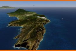
St Eustatius (Statia) Caribbean photo scenery refreshes F.D. Roosevelt Airport (TNCE) at Oranjestad with crisp aerial imagery, custom mesh, and photoreal models of the terminal, tower, and PIR, plus added fuel tank details. Built for Microsoft Flight Simulator X, it sharpens coastline, terrain relief, and airport ambience for low-and-slow island flying.

 Bonaire, Sint Eustatius and Saba
 - File: fsx_st-eustatius_photo_scenery-photoreal_tower_and_terminal.zip
- Size:63.43 MB
- Scan:
Clean (6d)

- Access:Freeware
- Content:Everyone
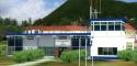
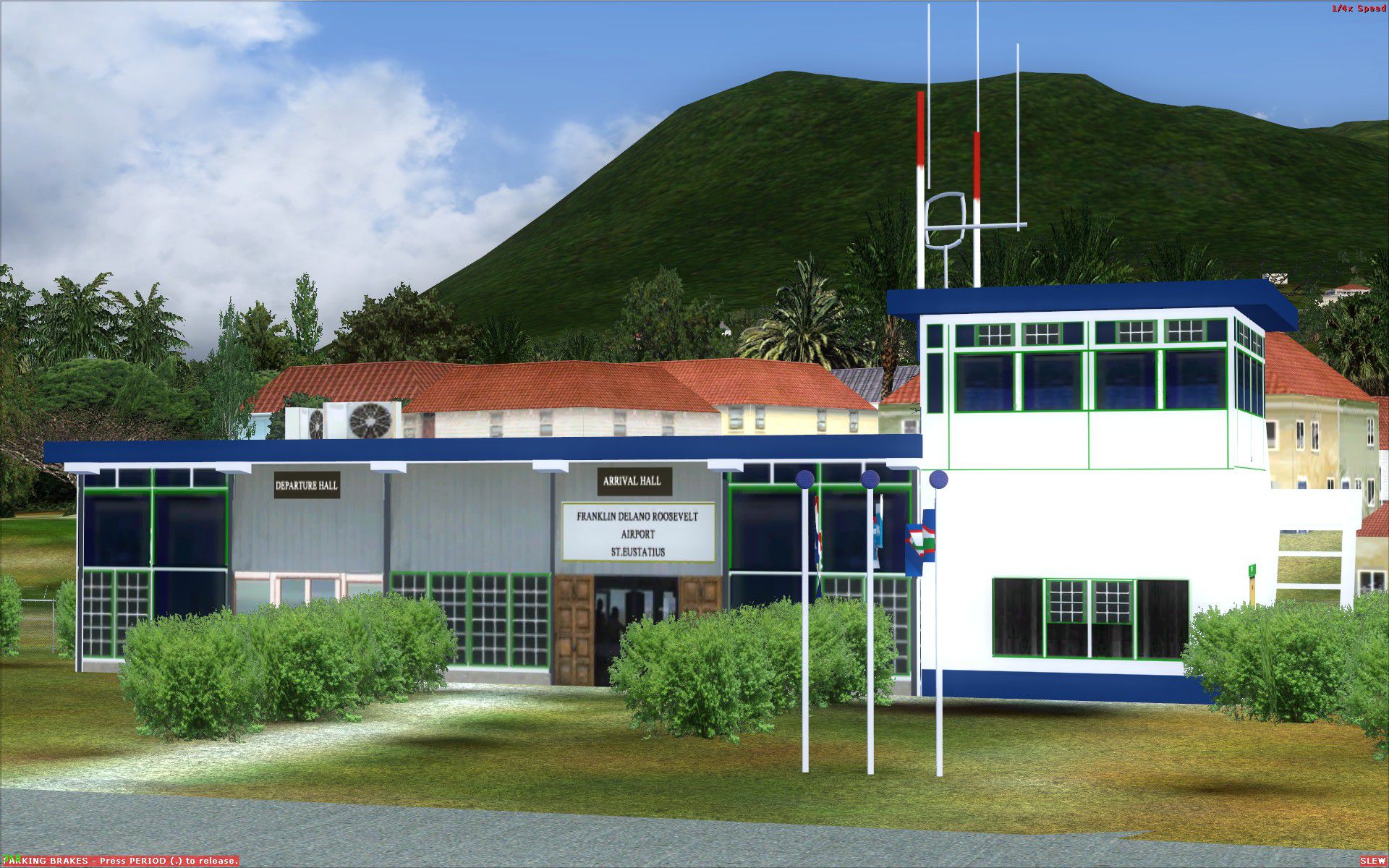
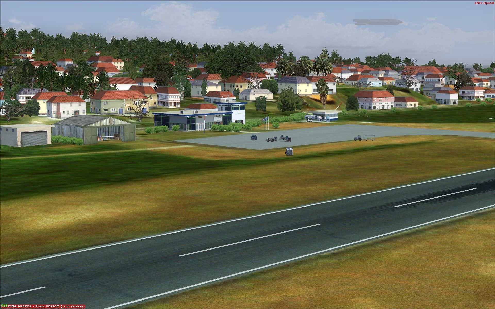
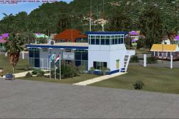
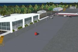
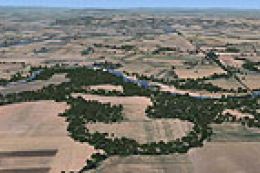
Photoreal model of terminal, tower and PIR in the photo scenery of St. Eustatius (Statia) in the Caribbean, with the airport F.D. Roosevelt (TNCE) in Oranjestad. Photoreal terminal, tower and PIR is created by JL Valladier. By Harald Sandvik.

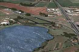
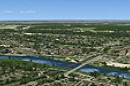
Screenshot of St Eustatius photoreal scenery.
This scenery "FSX_St-Eustatius_CARIBB_photo_scenery-Photoreal_Tower_og_terminal.zip" also include the following:
- "FSX_St.Eustatius_CARIBB_photo_scenery.zip"
- "FSX_St-Eustatius_CARIBB_photo_scenery_aditional_tanks2_OBX.zip"
- "FSX_St-Eustatius_CARIBB_photo_scenery_MESH.zip"
Images & Screenshots

Finding the Scenery
- FSX/Prepar3D Coordinates:
-
17.49620000,-62.97960000
Use the downloaded flight plan file by launching FSX/P3D, selecting "Load Flight Plan" in the flight planner, and choosing the .pln file. Your aircraft will be positioned directly at the add-on’s location. - Decimal Degrees (DD):
-
Latitude: 17.496200°
Longitude: -62.979600° - Degrees, Minutes, Seconds (DMS):
-
Latitude: 17° 29' 46.320" N
Longitude: 62° 58' 46.560" W
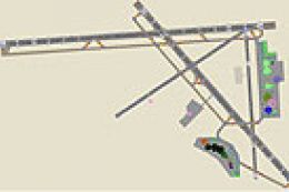
Map Location
The archive fsx_st-eustatius_photo_scenery-photoreal_tower_and_terminal.zip has 61 files and directories contained within it.
File Contents
This list displays the first 500 files in the package. If the package has more, you will need to download it to view them.
| Filename/Directory | File Date | File Size |
|---|---|---|
| Readme_Photoscenery of St.Eustatius.txt | 12.09.12 | 1.51 kB |
| STATIA.dds | 04.20.09 | 682.79 kB |
| STATIANUIT.dds | 04.20.09 | 682.79 kB |
| OLDZI.DDS | 12.08.12 | 5.33 MB |
| CVX_St-Eustatius.BGL | 07.21.11 | 12.36 kB |
| Fuel_Sce_TNCE.BGL | 08.28.07 | 156 B |
| photo_st_eu1.bgl | 03.05.08 | 13.95 MB |
| photo_st_eu2.bgl | 03.05.08 | 11.30 MB |
| photo_st_eu3.bgl | 03.05.08 | 11.48 MB |
| photo_st_eu4.BGL | 03.05.08 | 11.18 MB |
| photo_st_eu5.bgl | 03.05.08 | 12.47 MB |
| PLANTS_TNCE_VEG_TB_BUSH_BAYBERRY_8FT_Scenery.BGL | 09.04.07 | 5.21 kB |
| Shore_tnce.BGL | 08.18.10 | 642 B |
| Small_Tower_TNCE.BGL | 12.08.12 | 220 B |
| St-Eustatius_23m_pilot_pacific_OB1.BGL | 12.09.12 | 140 B |
| St-Eustatius_Containers_OB1.BGL | 12.09.12 | 332 B |
| St-Eustatius_Cruser_boat.BGL | 12.08.12 | 156 B |
| St-Eustatius_Flag_OBX.BGL | 12.05.12 | 273.20 kB |
| St-Eustatius_Hangar_OBX.BGL | 12.05.12 | 156 B |
| St-Eustatius_OBX.BGL | 07.21.11 | 2.09 kB |
| St-Eustatius_Pir_OBX.BGL | 12.08.12 | 75.98 kB |
| St-Eustatius_tanks2_OBX.BGL | 12.03.12 | 1.34 kB |
| St-Eustatius_terminal_OBX.BGL | 12.05.12 | 206.45 kB |
| Super_tanker.BGL | 12.09.12 | 156 B |
| TNCE_ADEX_PAL.BGL | 12.08.12 | 3.87 kB |
| traffic_carrierHMAS_FSX.bgl | 08.10.10 | 3.62 kB |
| traffic_Nimitz.bgl | 08.18.10 | 4.15 kB |
| VEH_water_fishingboatlg01.BGL | 12.09.12 | 156 B |
| WATERFIX.BGL | 08.09.10 | 449 B |
| 003311322110323an.agn | 10.20.07 | 1.29 kB |
| 003311322112011an.agn | 10.23.07 | 3.59 kB |
| 003311322112100an.agn | 10.23.07 | 24.07 kB |
| 003311322112101an.agn | 10.23.07 | 1.41 kB |
| 003311322112102an.agn | 10.23.07 | 6.82 kB |
| 003311322112103an.agn | 10.23.07 | 1.14 kB |
| 003311322112110an.agn | 10.17.07 | 488 B |
| 003311322112112an.agn | 10.13.07 | 444 B |
| 003311322112120an.agn | 10.23.07 | 300 B |
| 003311322112121an.agn | 10.23.07 | 884 B |
| 003311322110213an.agn | 10.20.07 | 444 B |
| 003311322110231an.agn | 10.20.07 | 296 B |
| 003311322110233an.agn | 10.20.07 | 1.12 kB |
| 003311322110320an.agn | 10.20.07 | 968 B |
| 003311322110322an.agn | 10.20.07 | 11.79 kB |
| DEM08_249206.BGL | 09.18.07 | 4.56 kB |
| DEM09_249206.BGL | 09.18.07 | 11.10 kB |
| DEM10_249206.BGL | 09.18.07 | 27.62 kB |
| DEM11_249206.BGL | 09.18.07 | 65.53 kB |
| Texture | 07.21.11 | 0 B |
| F.D. Roosevelt.jpg | 12.09.12 | 419.41 kB |
| TNCE_F.D. Roosevelt.jpg | 12.09.12 | 587.25 kB |
| thumbnail.png | 12.09.12 | 27.59 kB |
| Boats_carrierHMAS_FSX.txt | 11.26.12 | 104 B |
| Read_Boats_Models.txt | 11.29.12 | 974 B |
| Boats_Nimitz.txt | 11.26.12 | 248 B |
| Plans_carrierHMAS_FSX.txt | 11.26.12 | 279 B |
| Plans_Nimitz.txt | 11.26.12 | 658 B |
| Routes_carrierHMAS_FSX.kml | 11.26.12 | 8.50 kB |
| Routes_Nimitz.kml | 11.26.12 | 9.32 kB |
| flyawaysimulation.txt | 10.29.13 | 959 B |
| Go to Fly Away Simulation.url | 01.22.16 | 52 B |
Installation Instructions
Most of the freeware add-on aircraft and scenery packages in our file library come with easy installation instructions which you can read above in the file description. For further installation help, please see our Flight School for our full range of tutorials or view the README file contained within the download. If in doubt, you may also ask a question or view existing answers in our dedicated Q&A forum.
0 comments
Leave a Response