MSFS Italy 20 M Terrain Mesh (DEM) Scenery
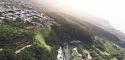
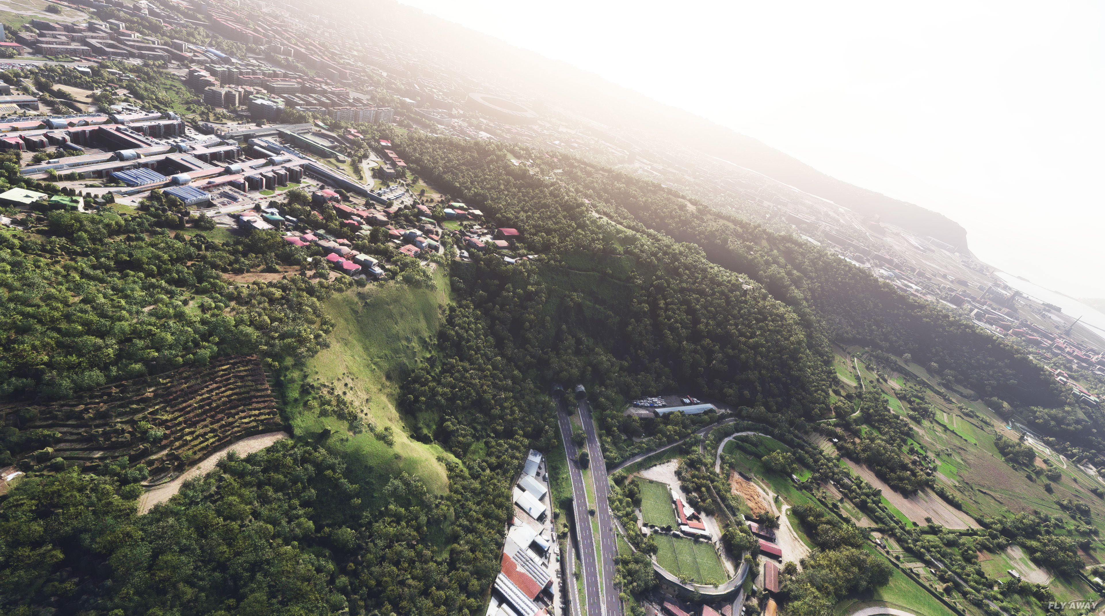
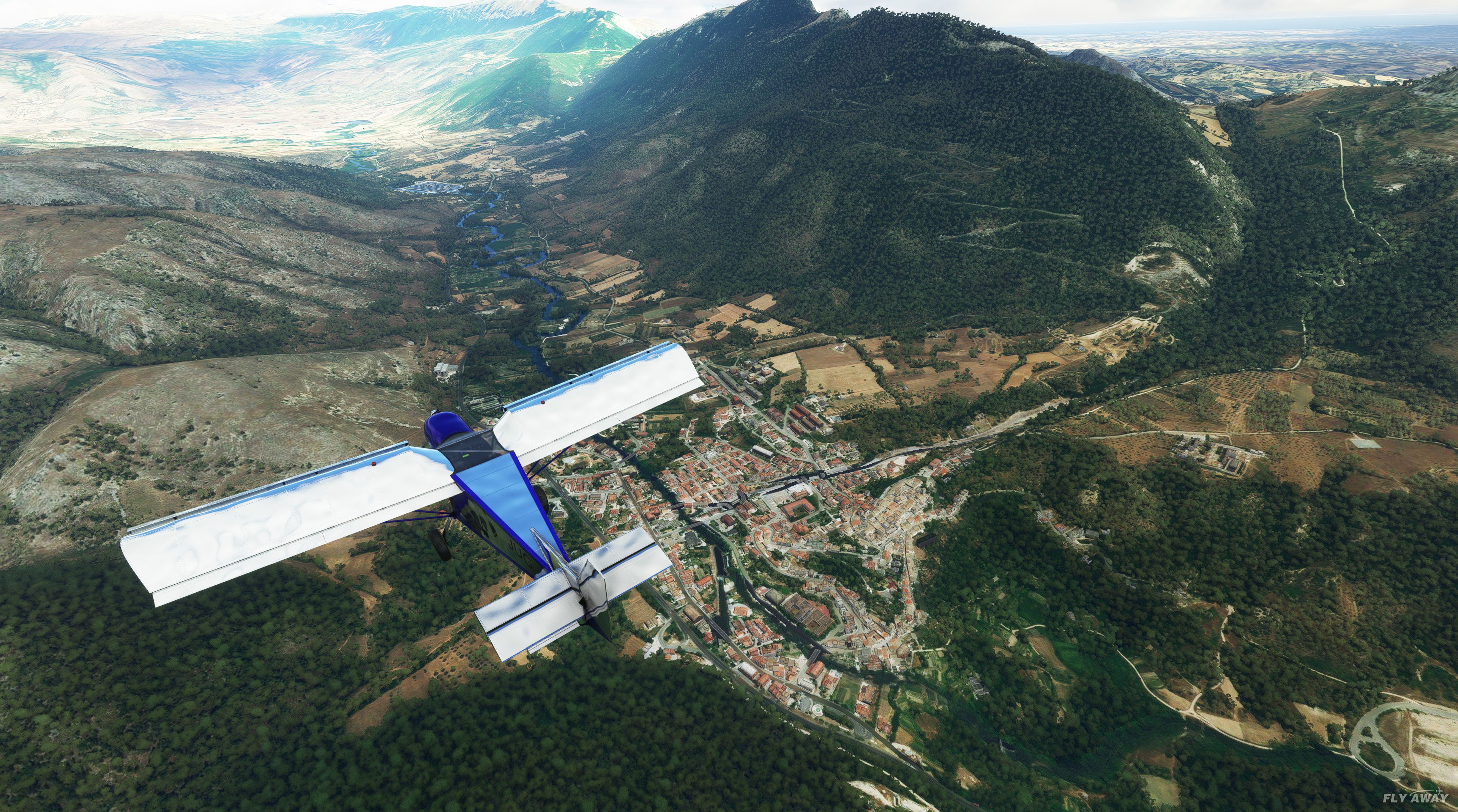
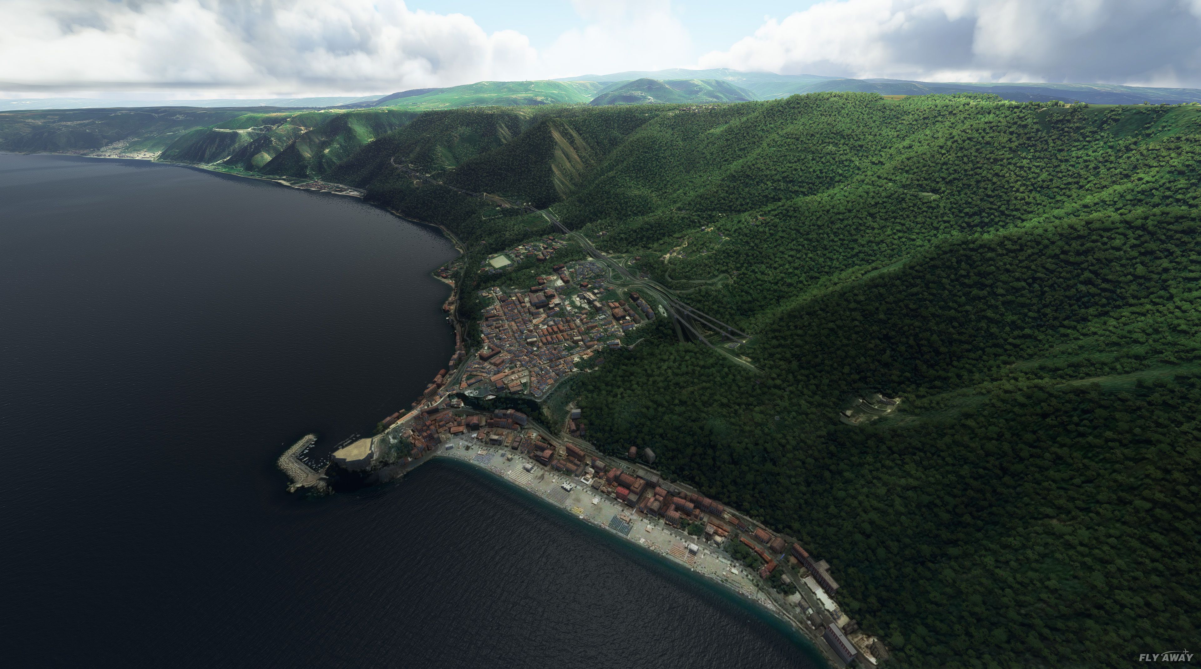
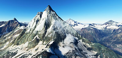
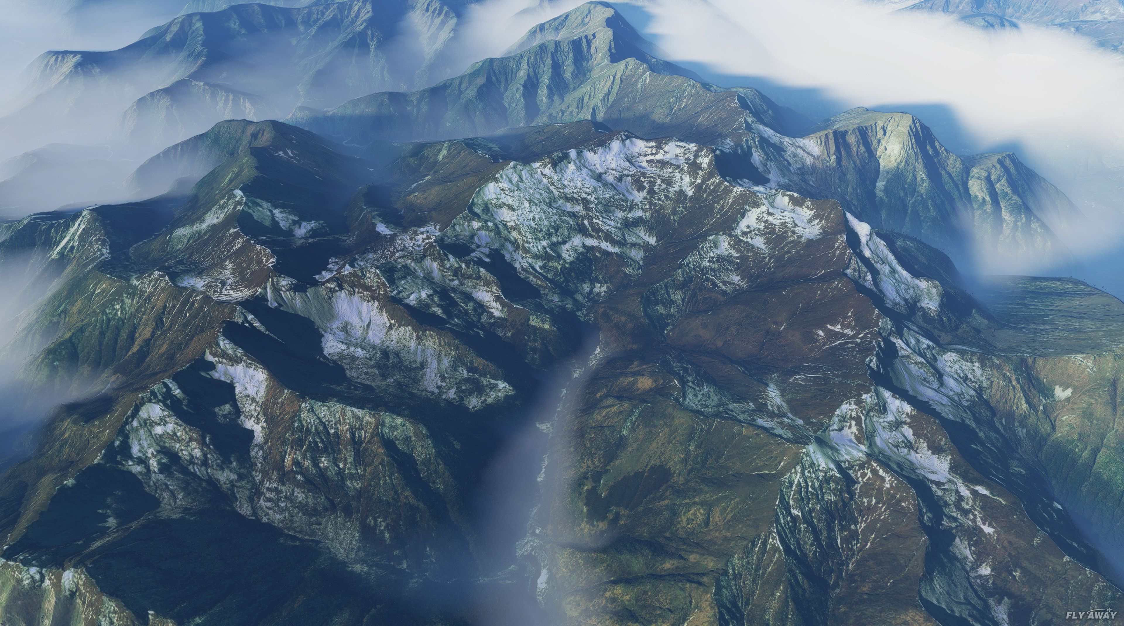
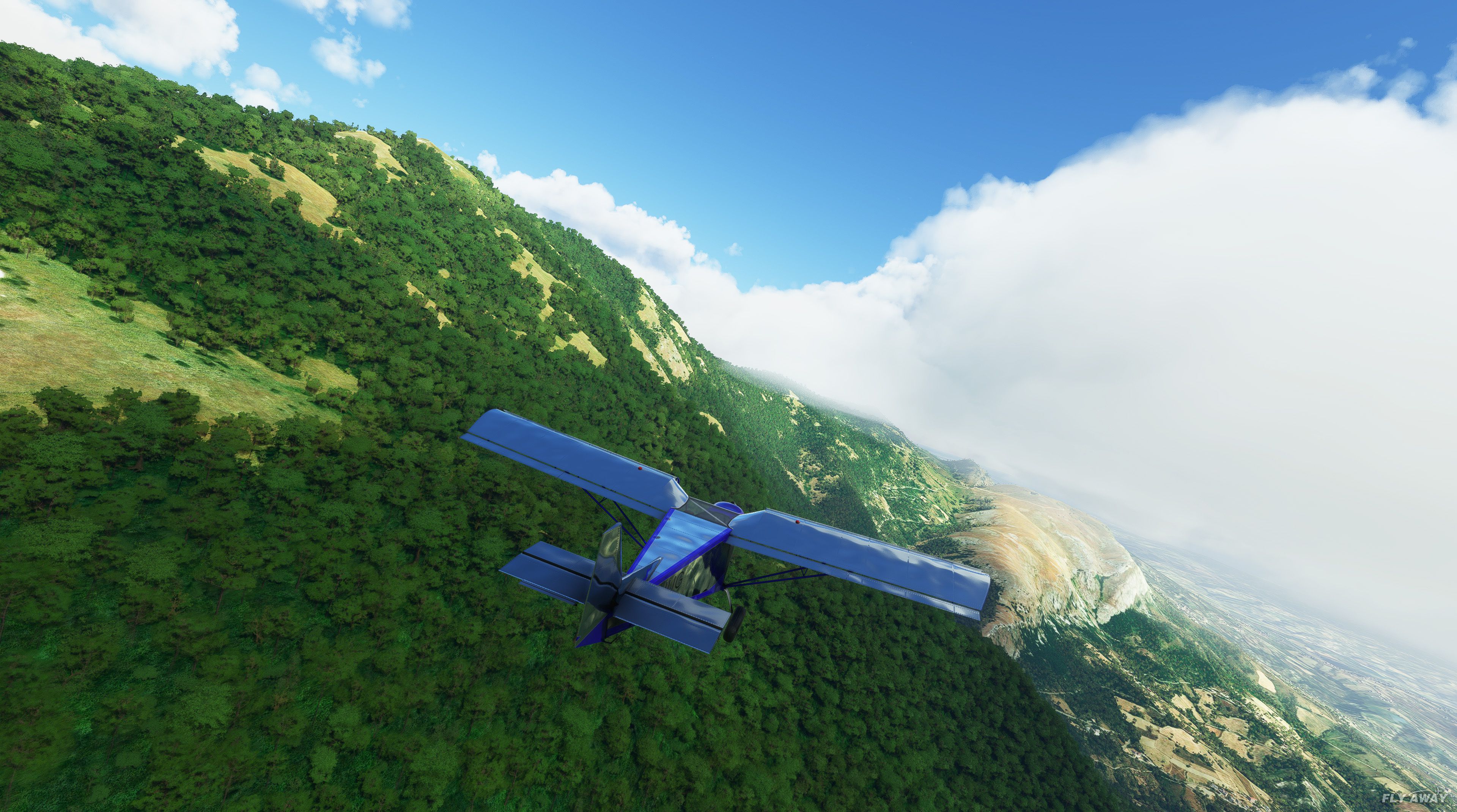
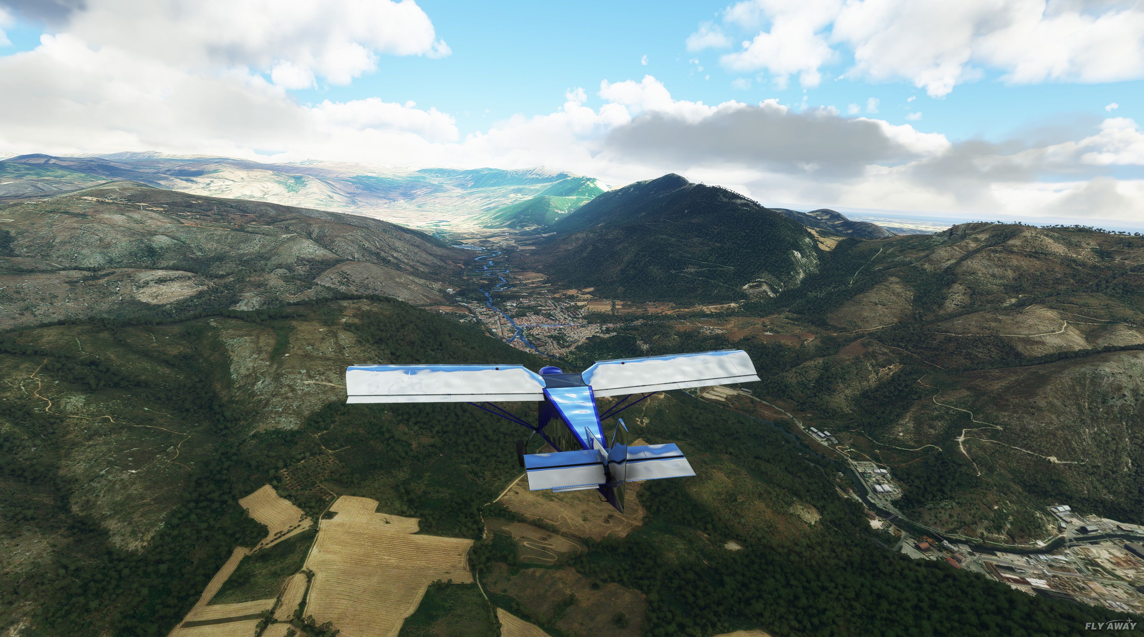
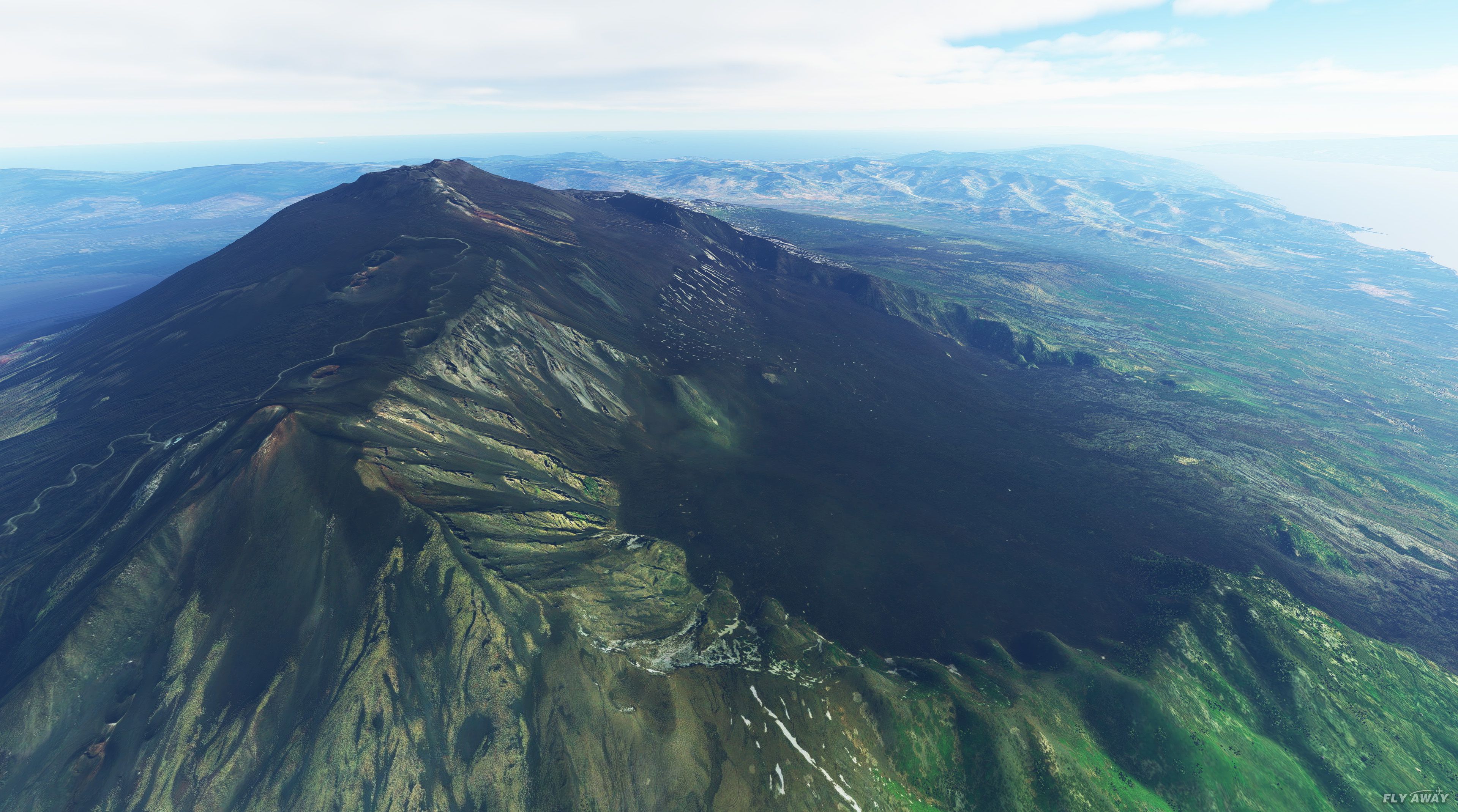
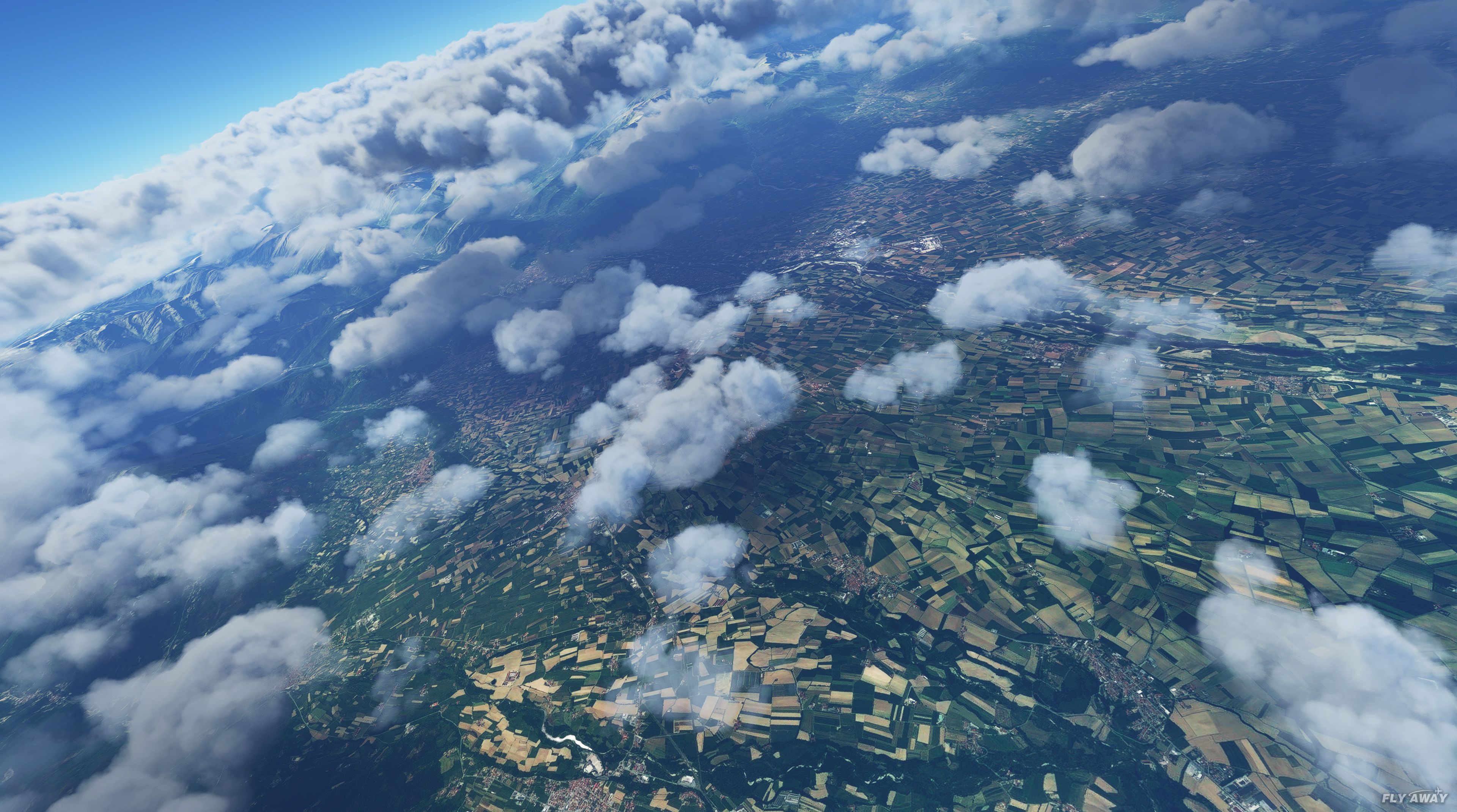
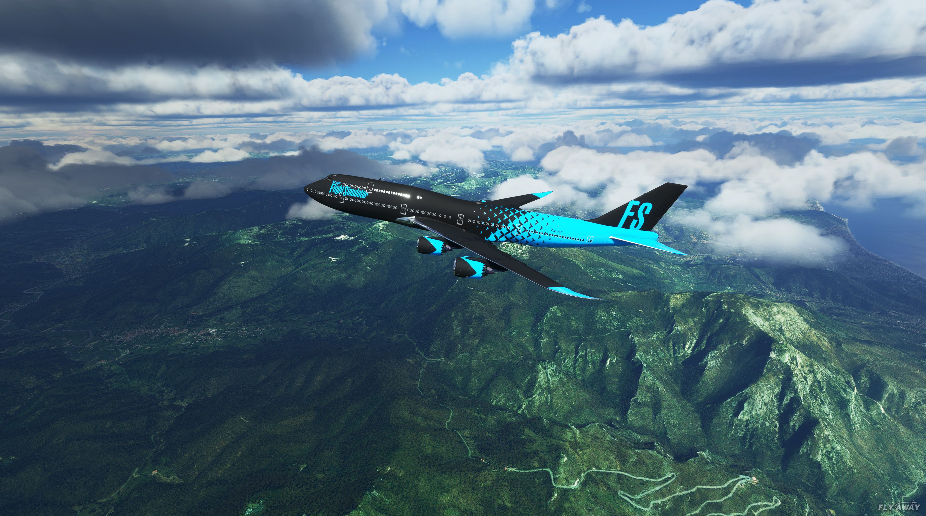
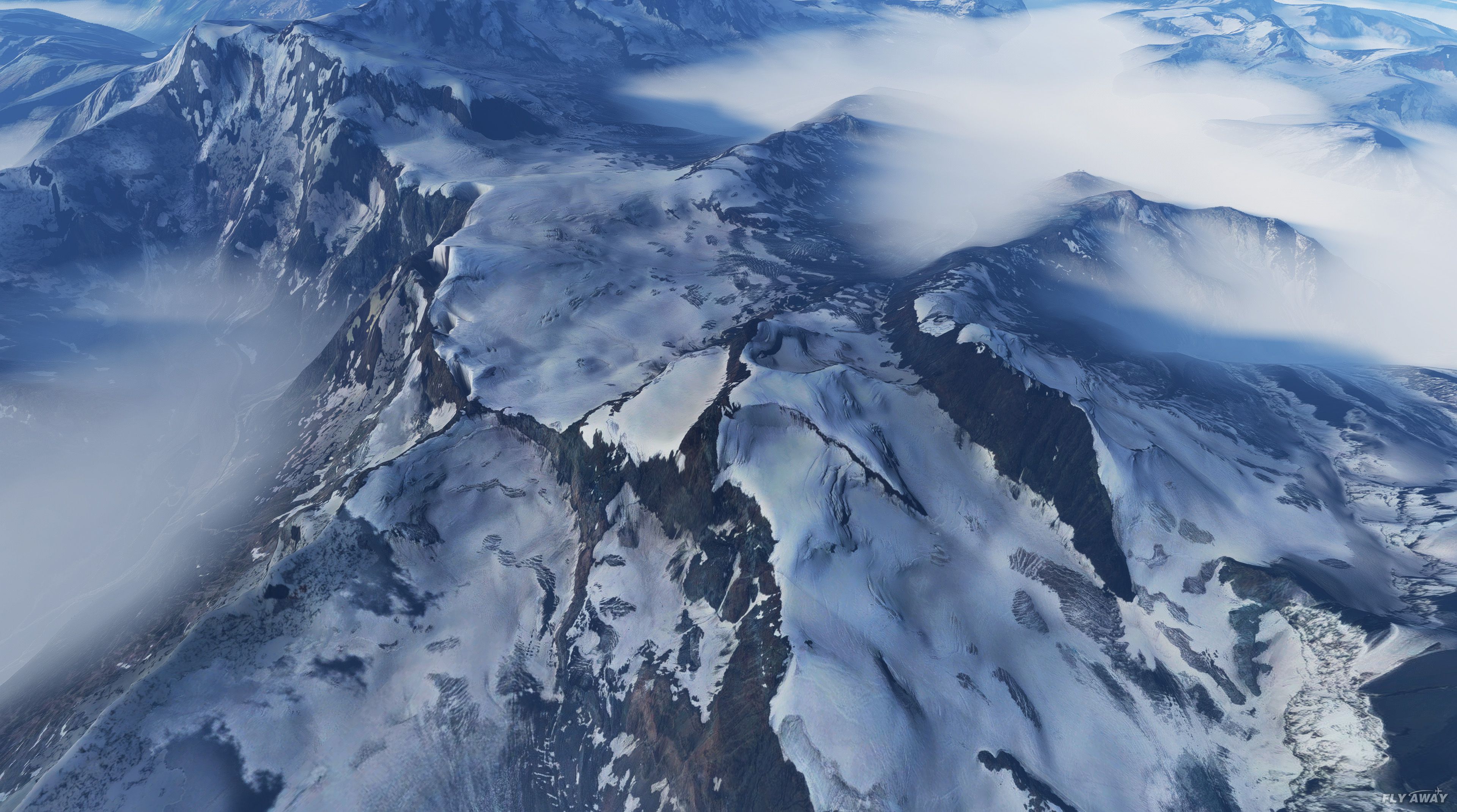
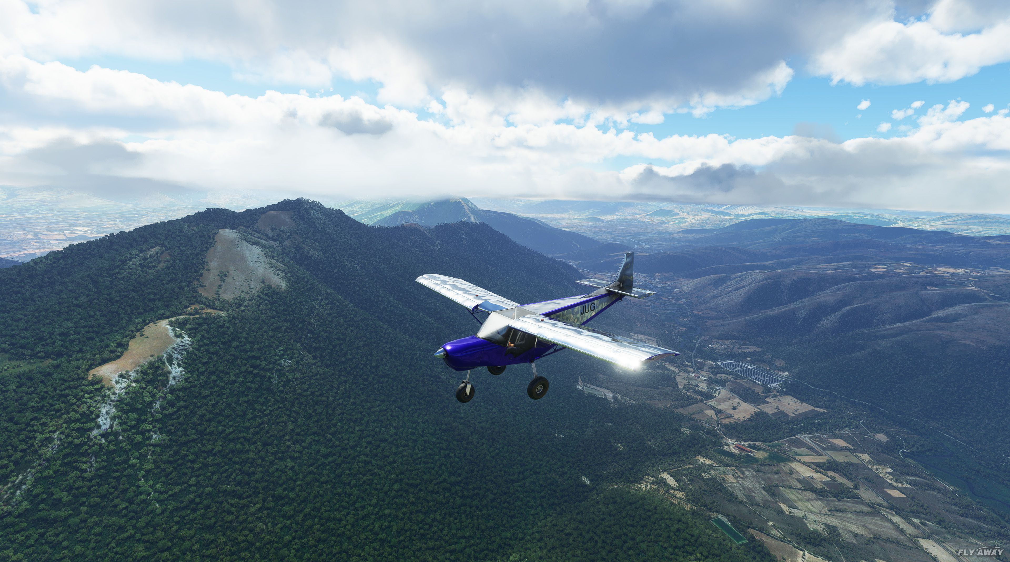
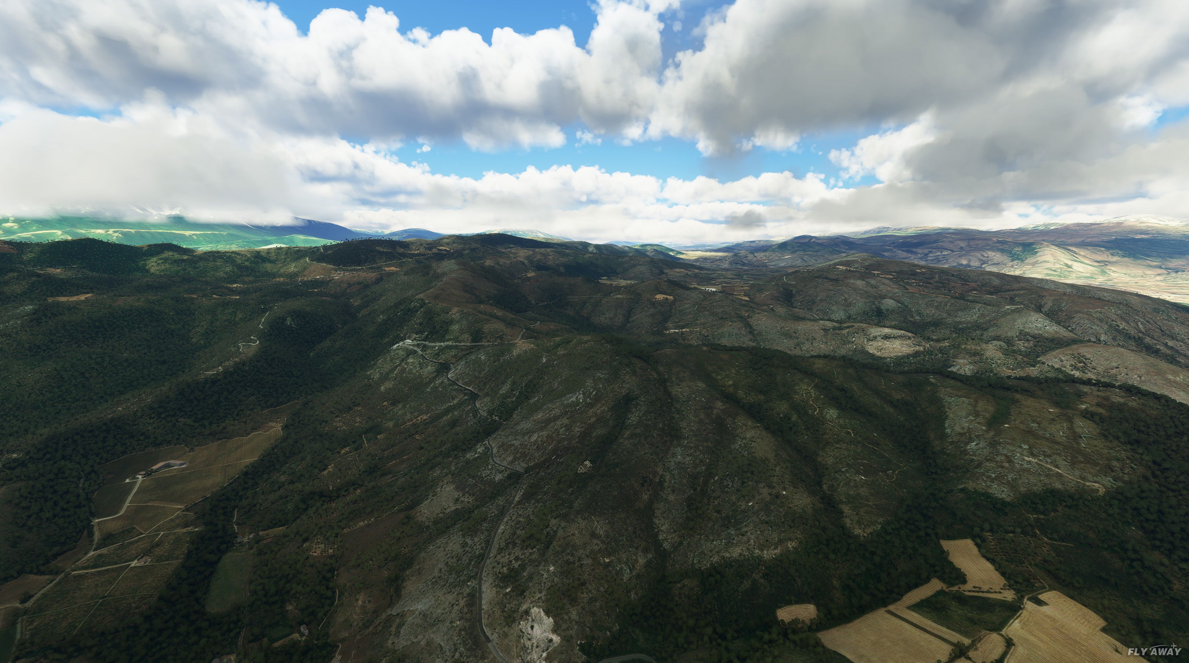
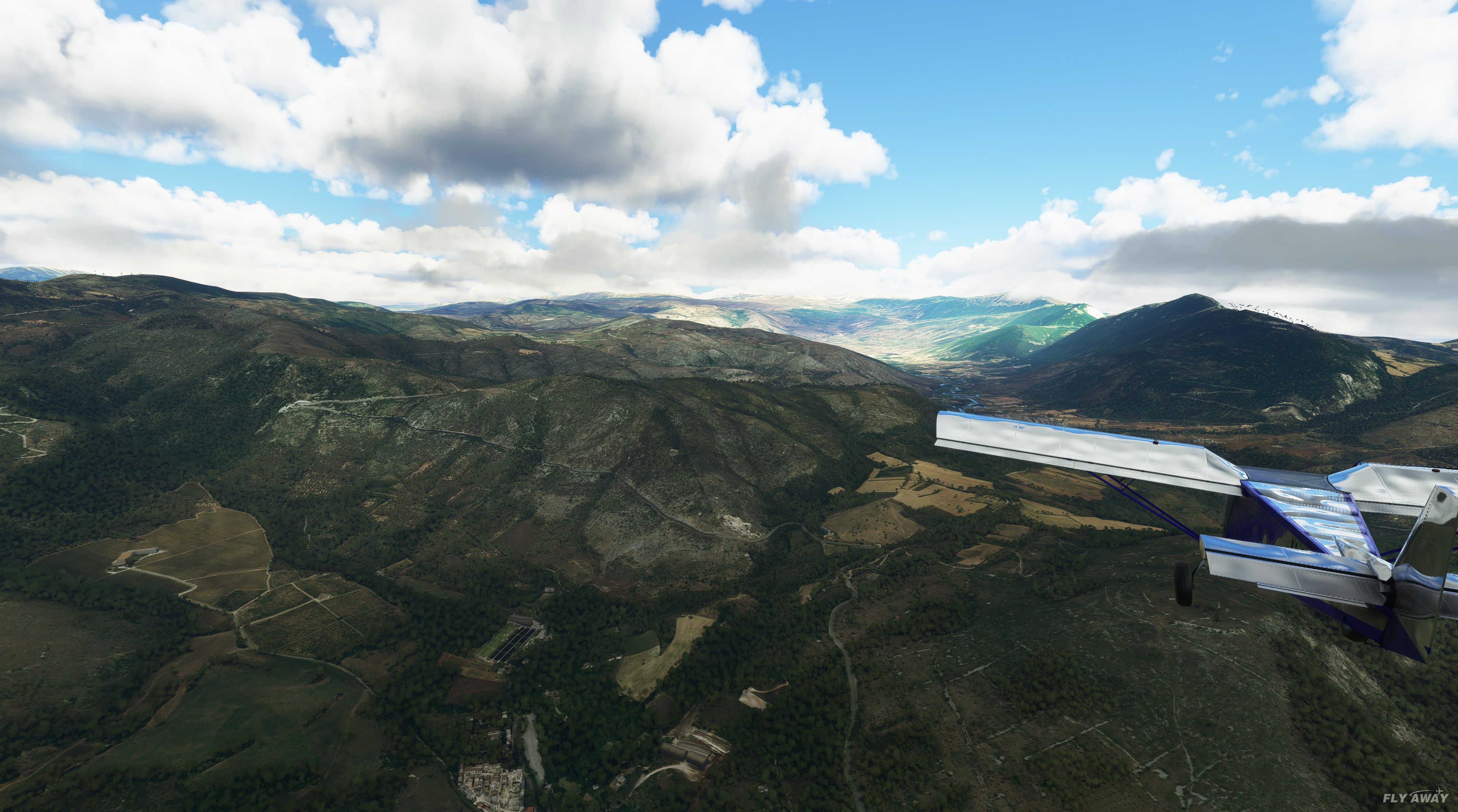
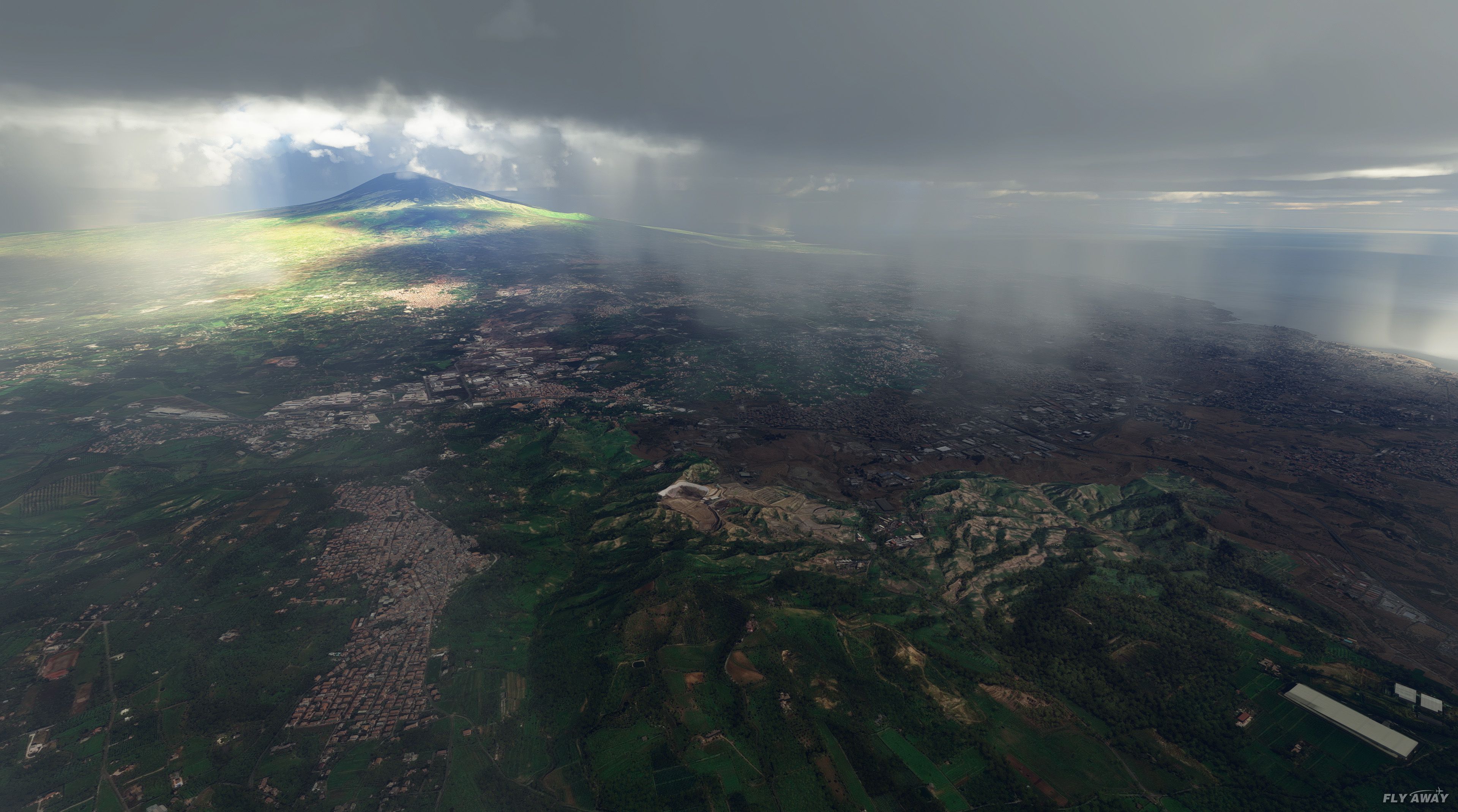
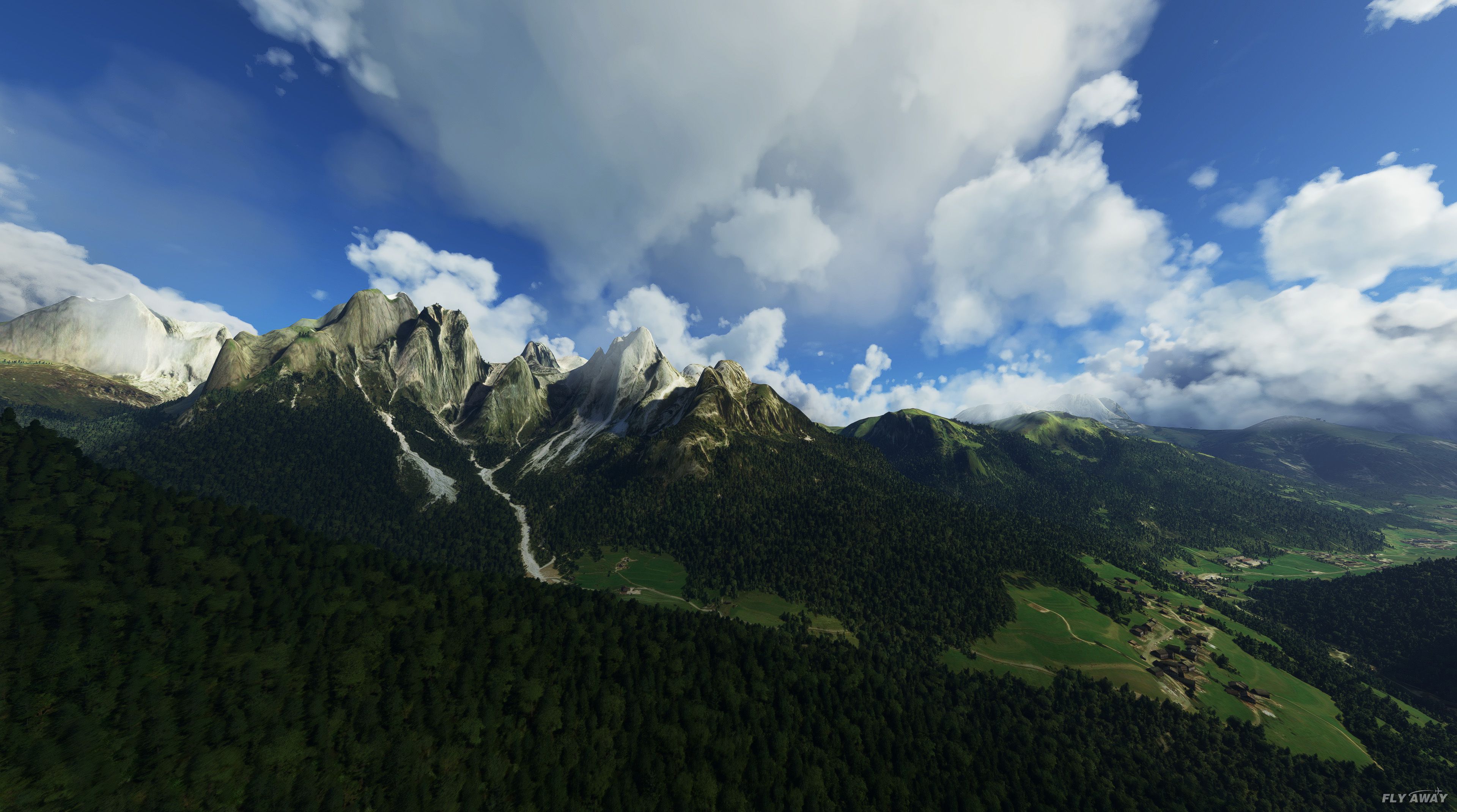
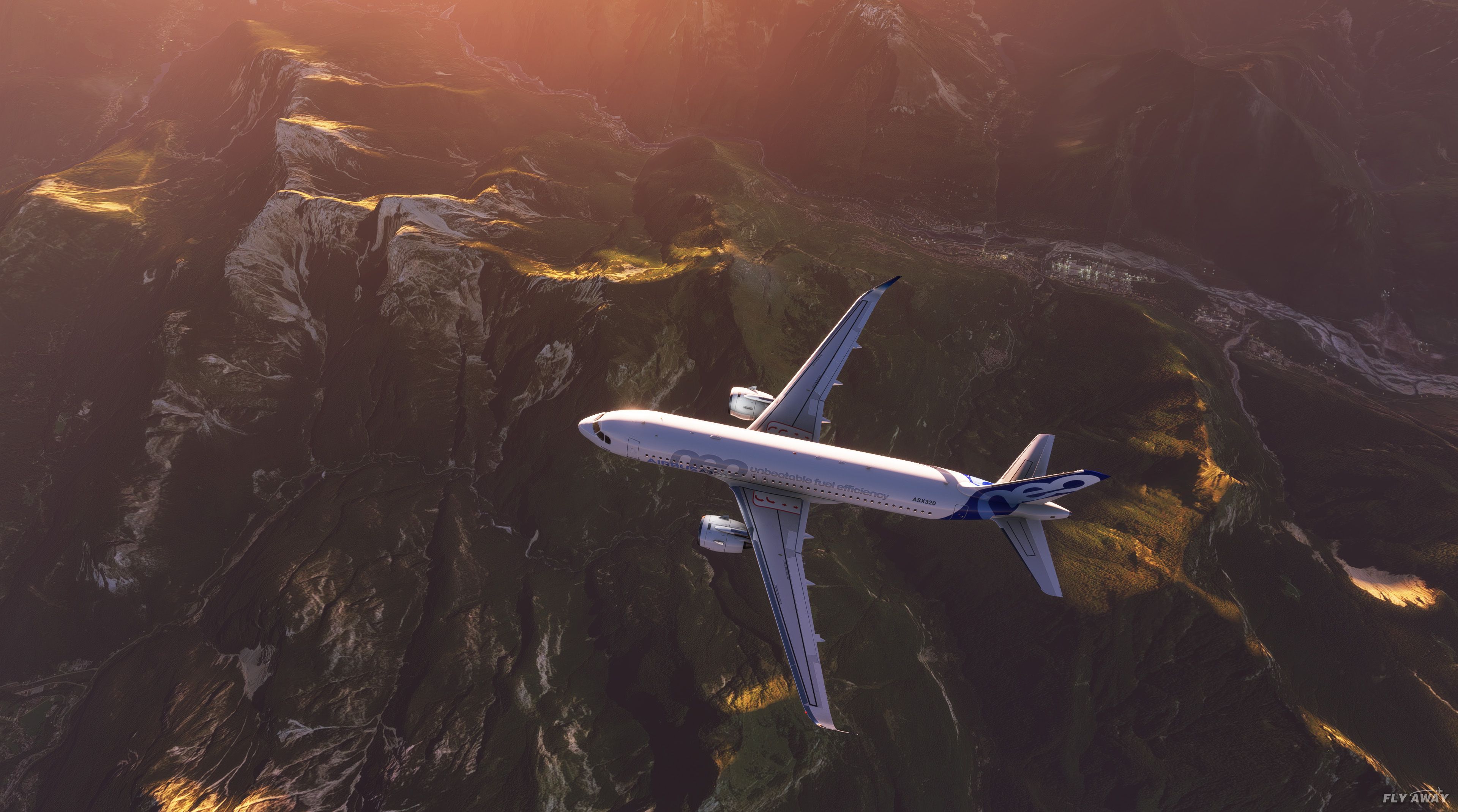
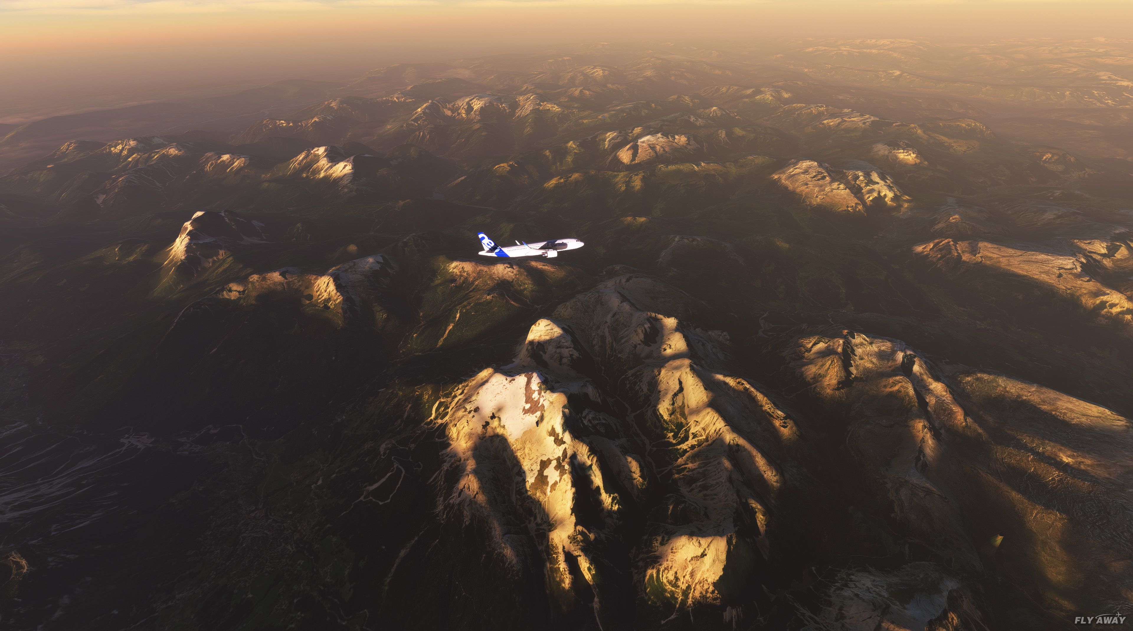
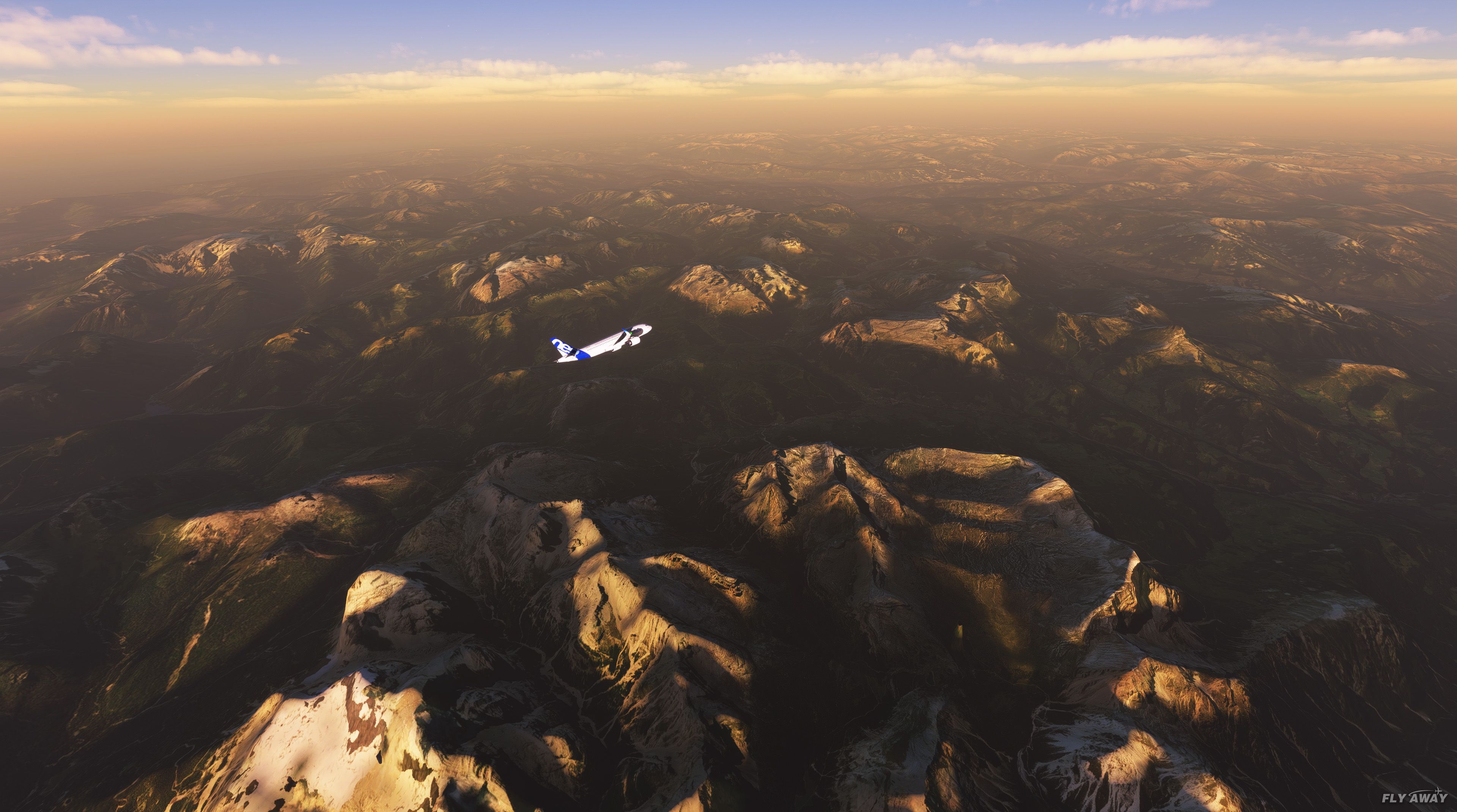
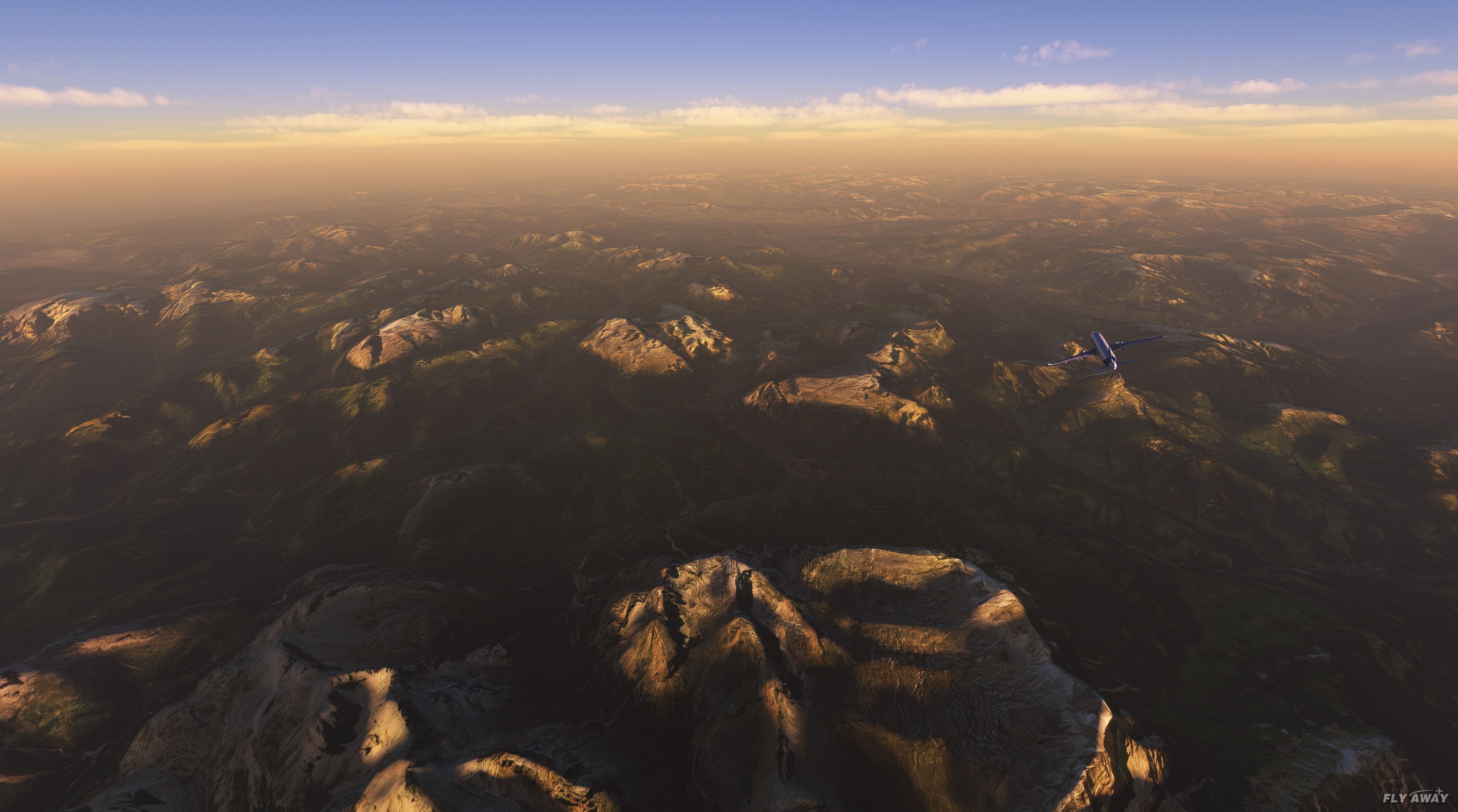
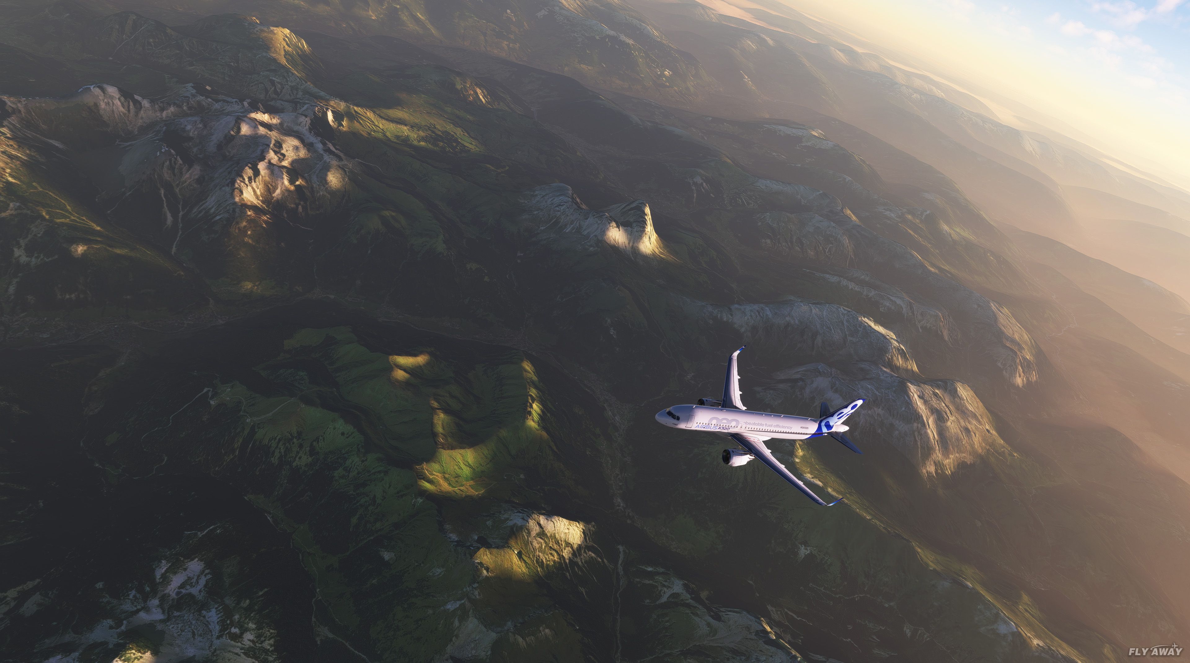
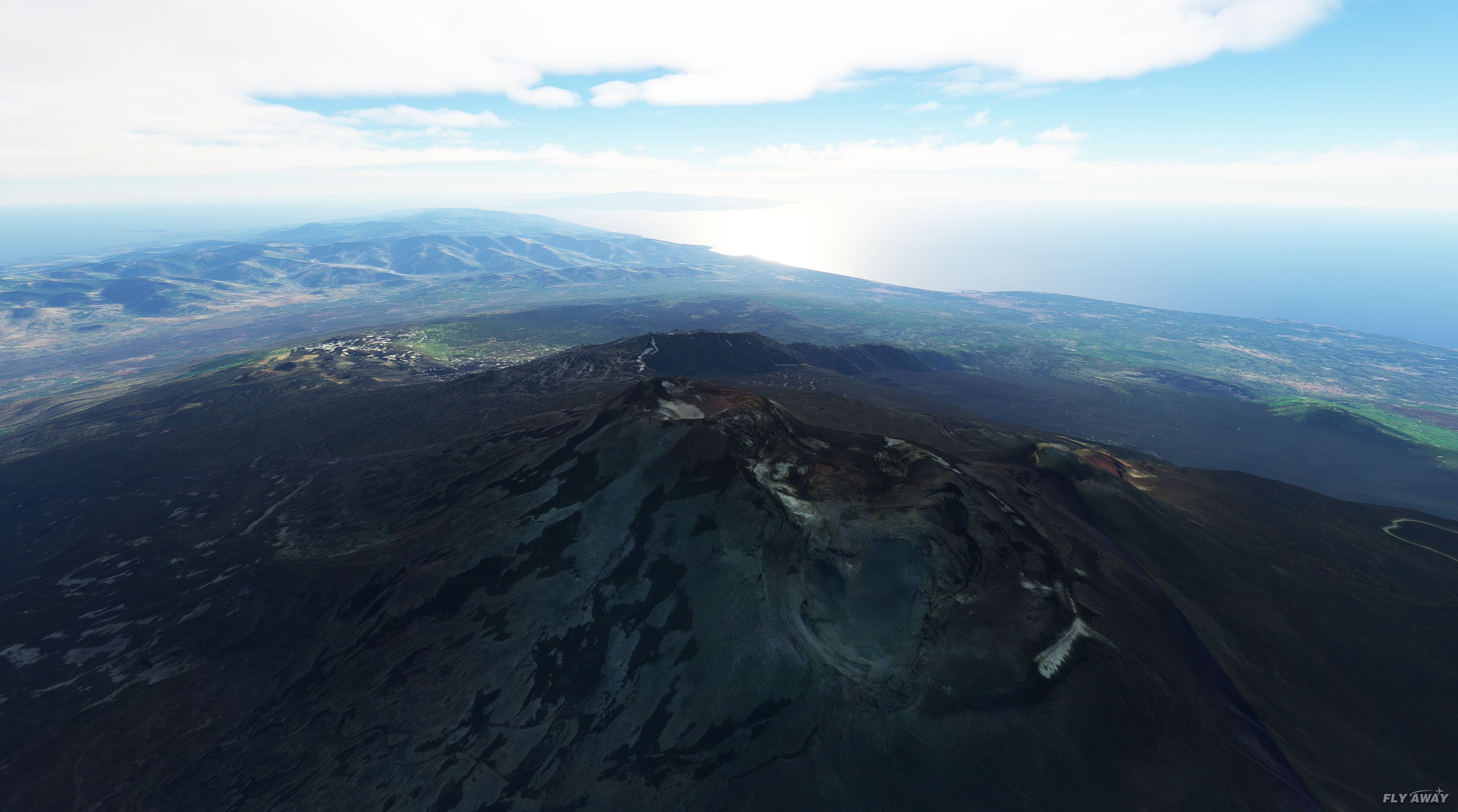
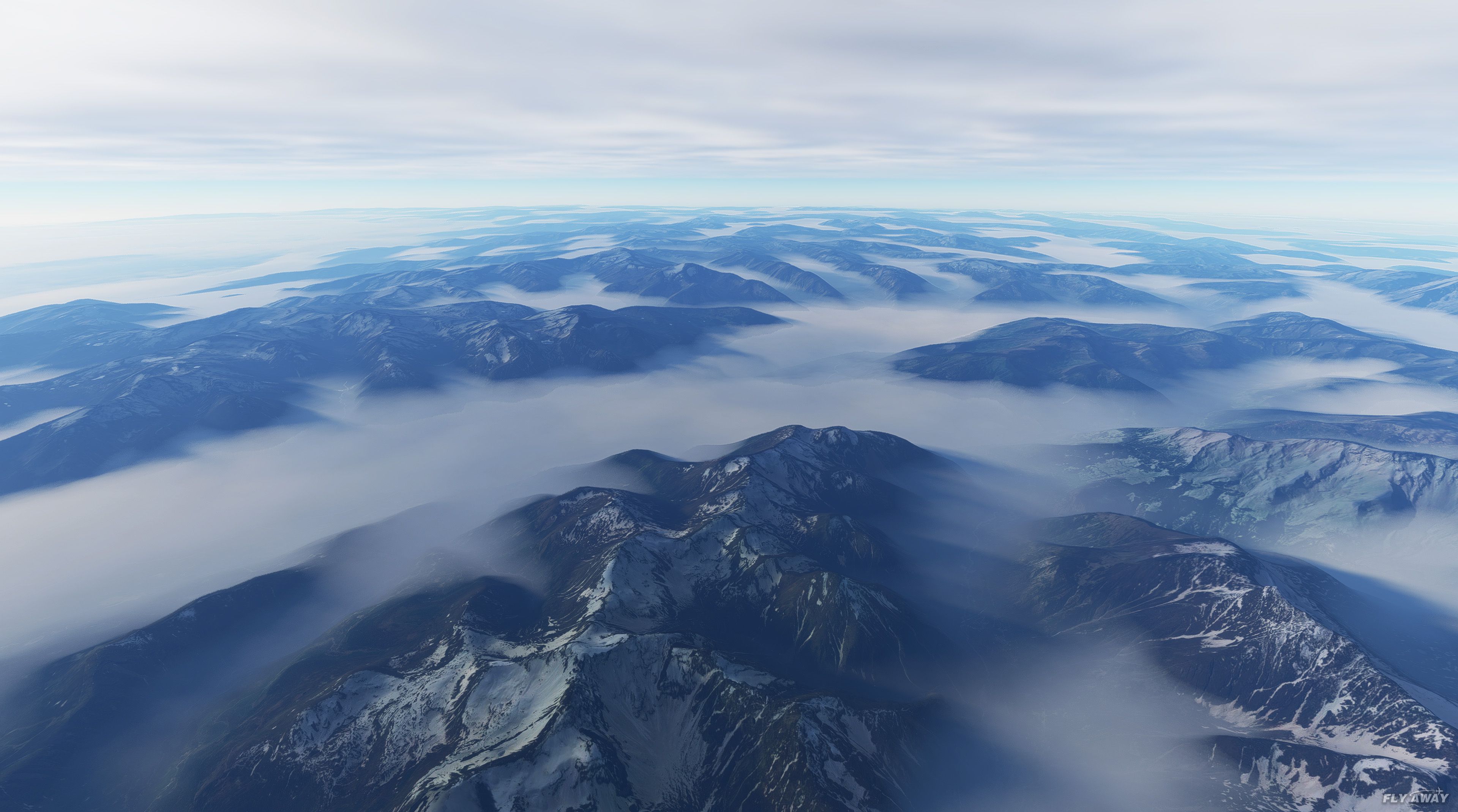
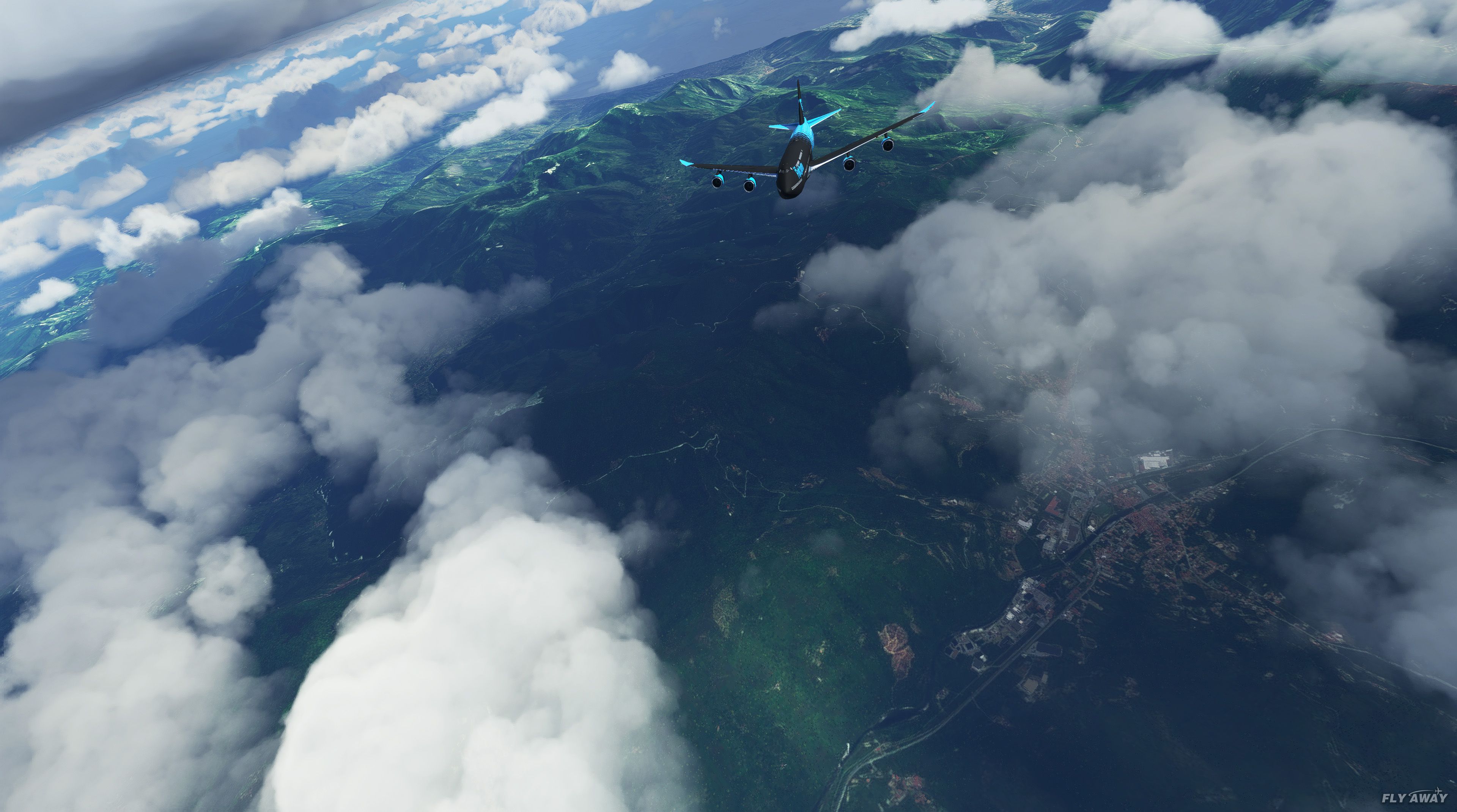
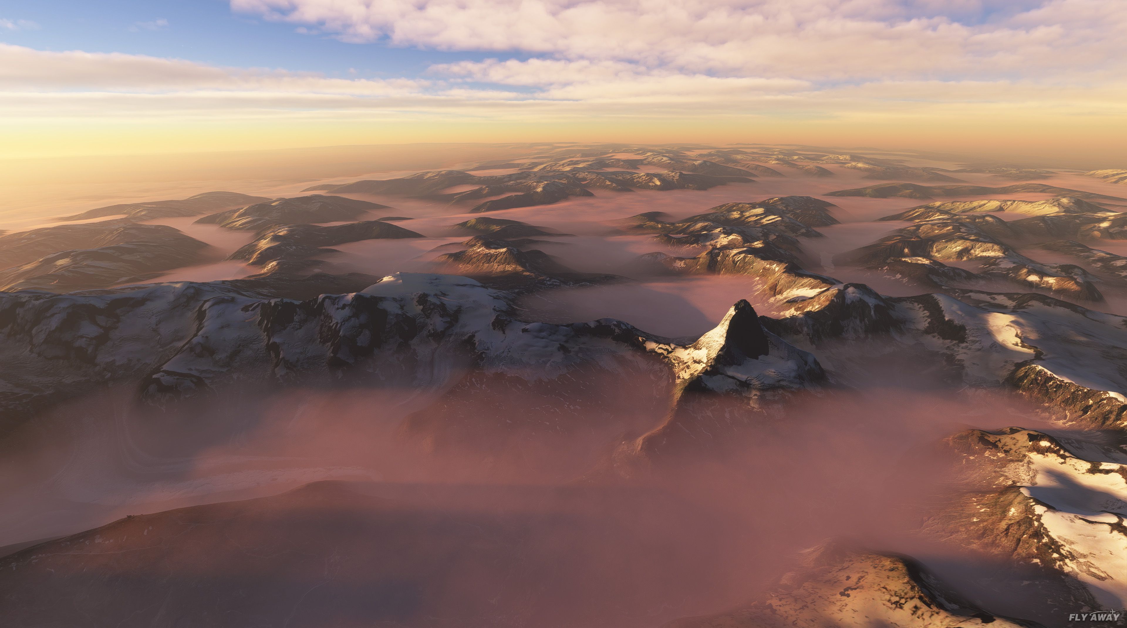
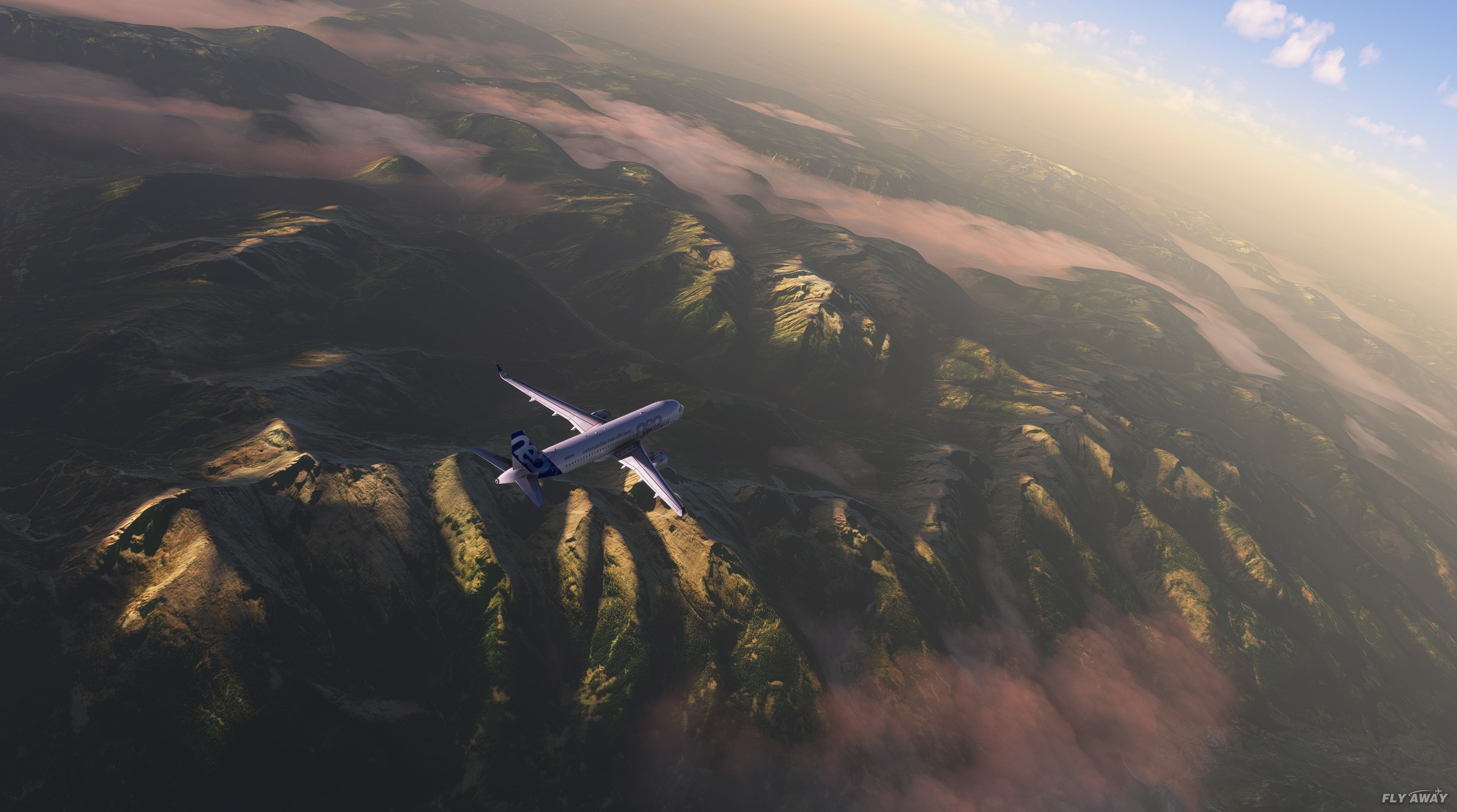
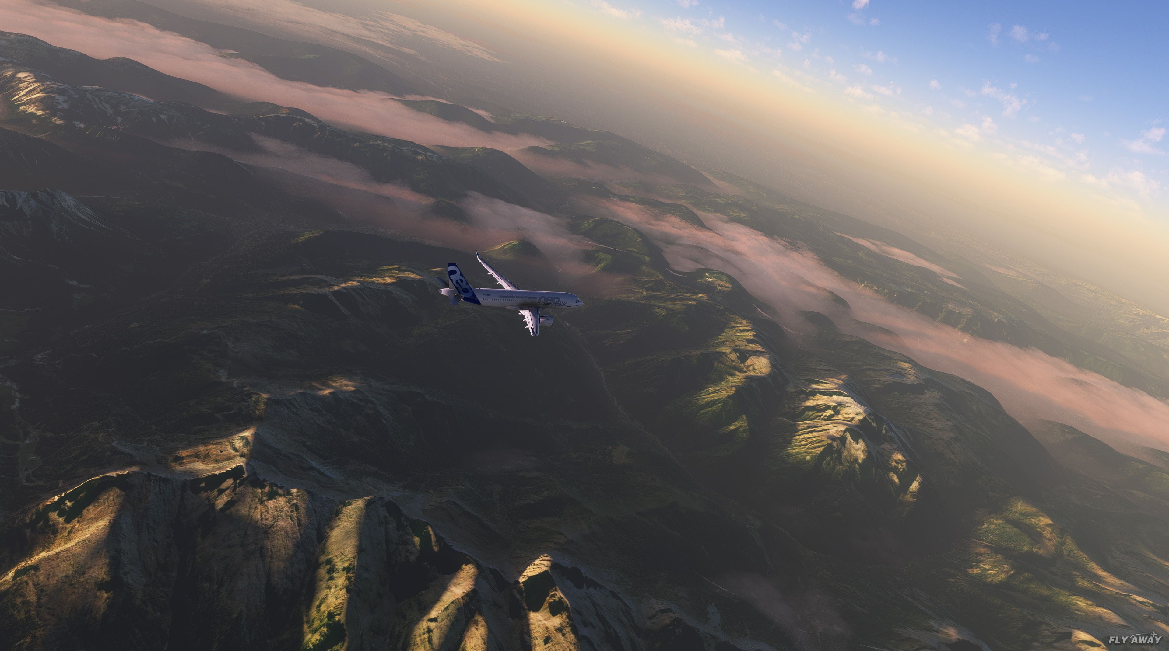
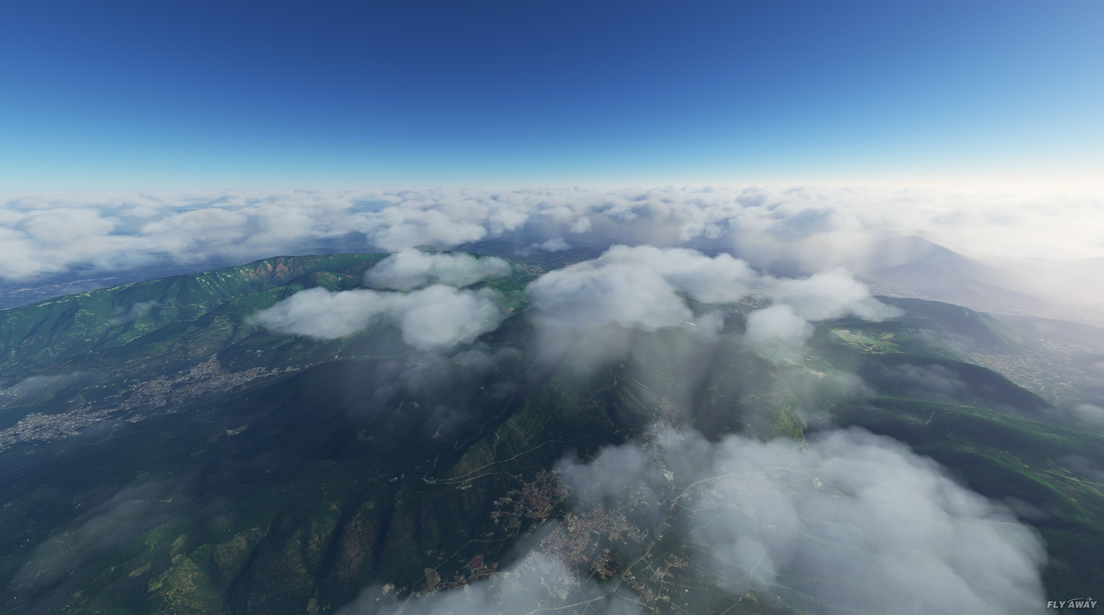
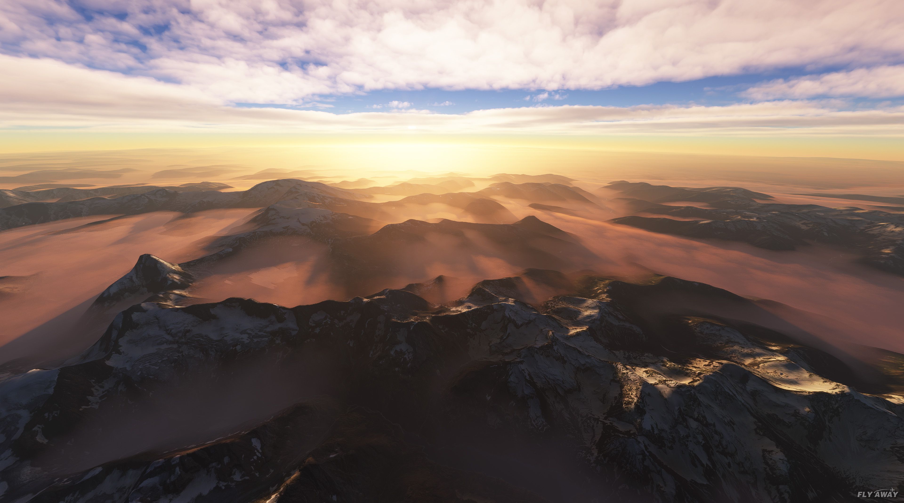
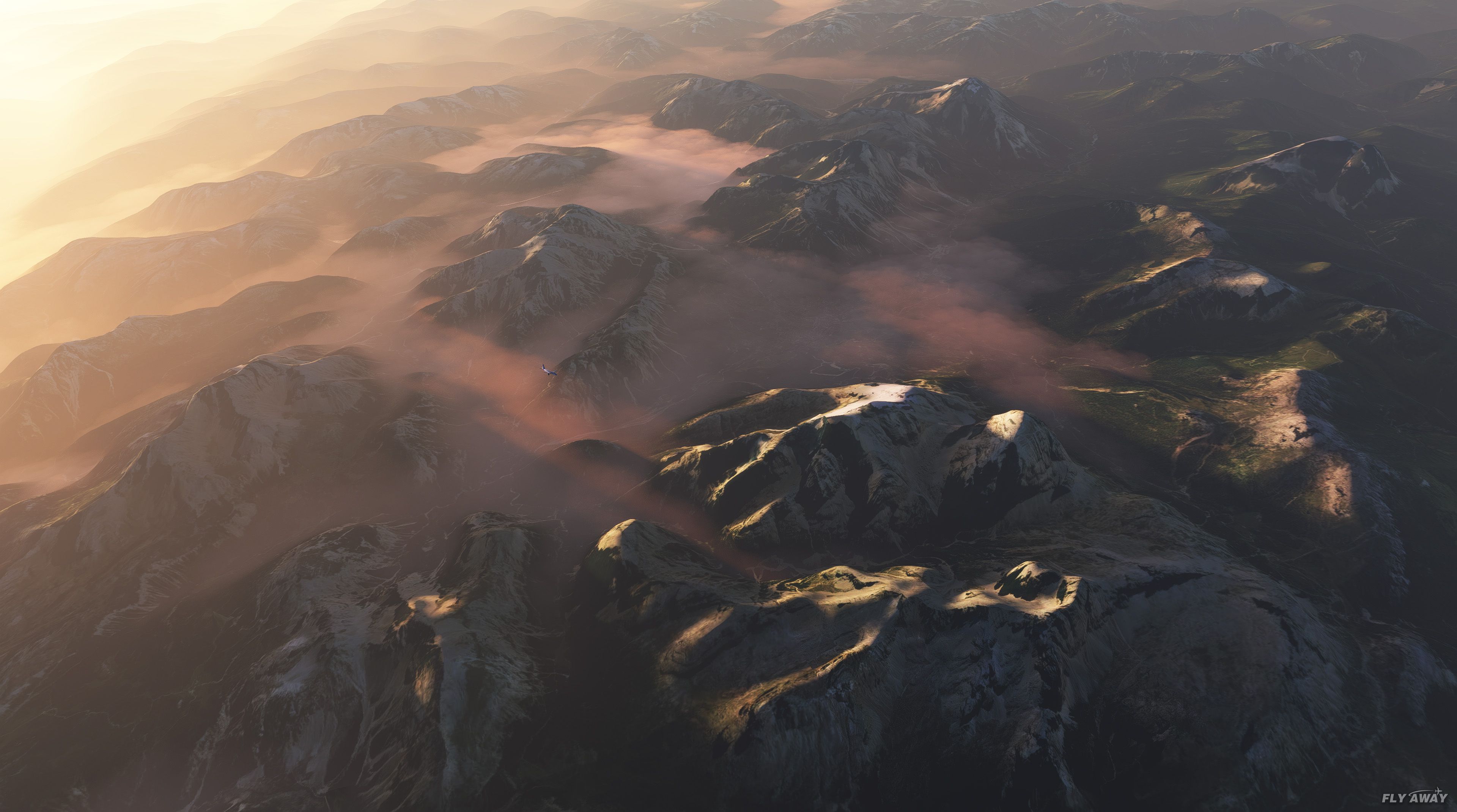
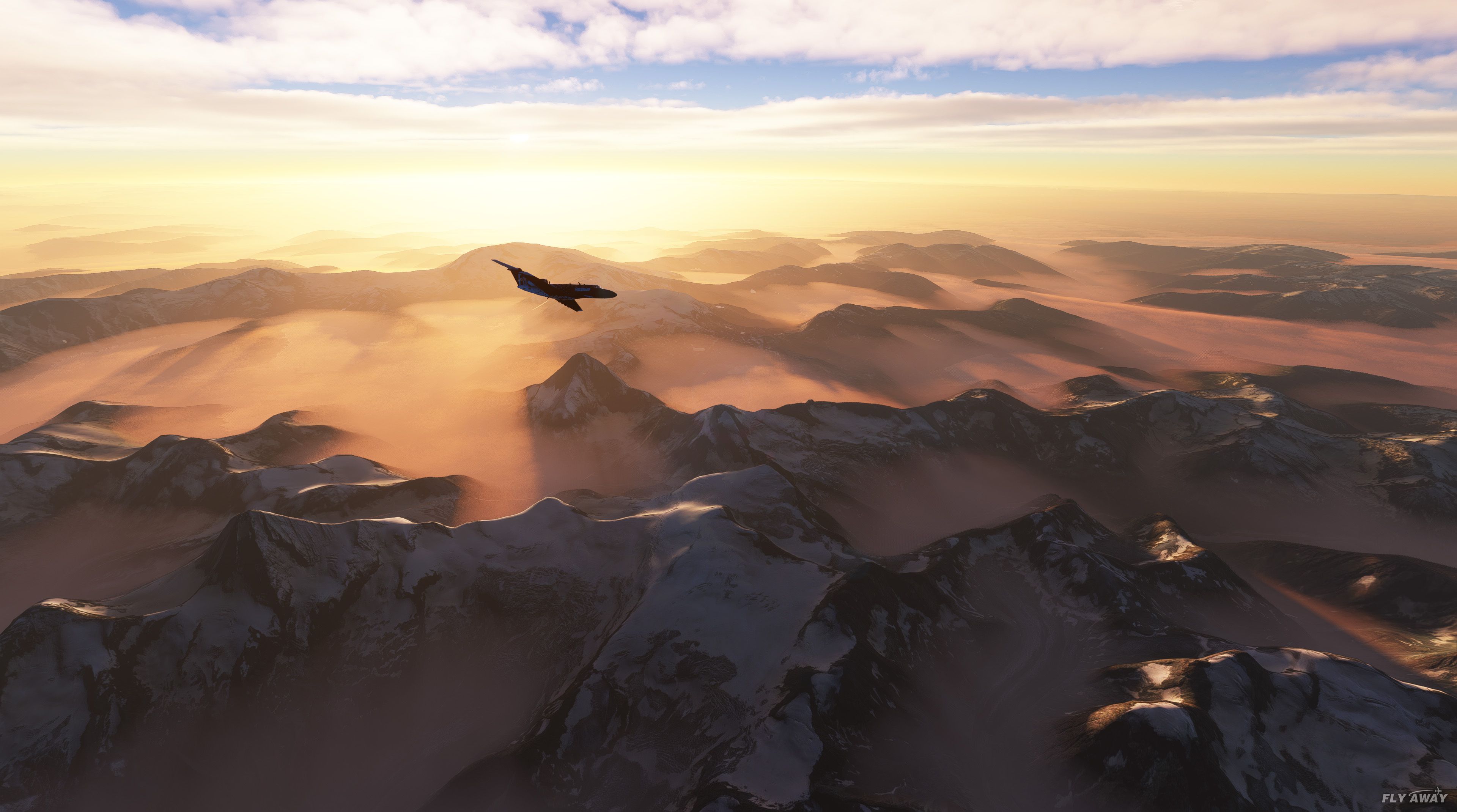
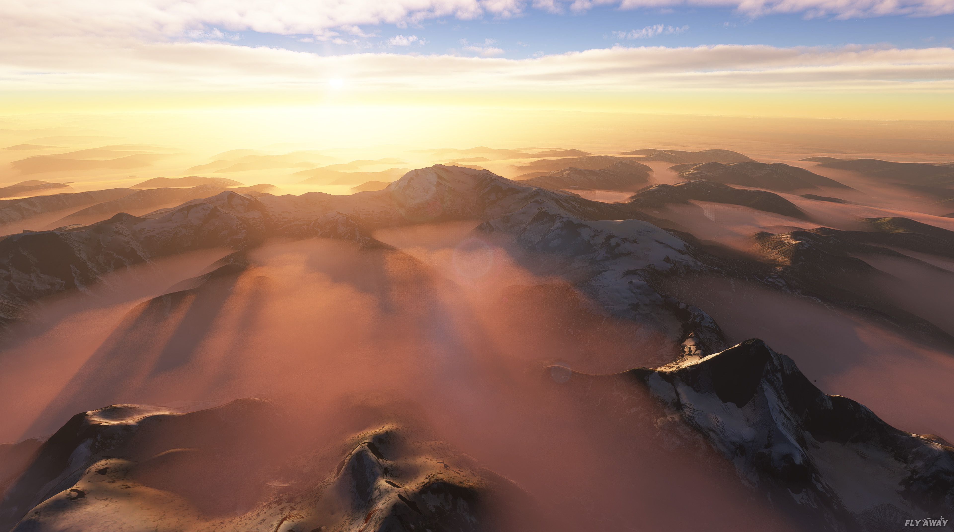
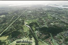
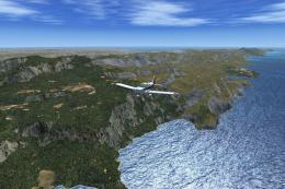
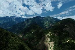
Italy’s terrain gains sharper relief with a 20 m digital elevation mesh that refines mountains, valleys, and coastlines from the Alps to Sicily and Sardinia. Designed for Microsoft Flight Simulator, it upgrades the underlying DEM so photoreal ground textures sit on more accurate terrain across major regions nationwide.
 Video preview

 Italy
Italy - File: italy-mesh-msfs-dem.zip
- Size:797.92 MB
- Scan:
Clean (29d)

- Access:Freeware
- Content:Everyone

Expert Overview
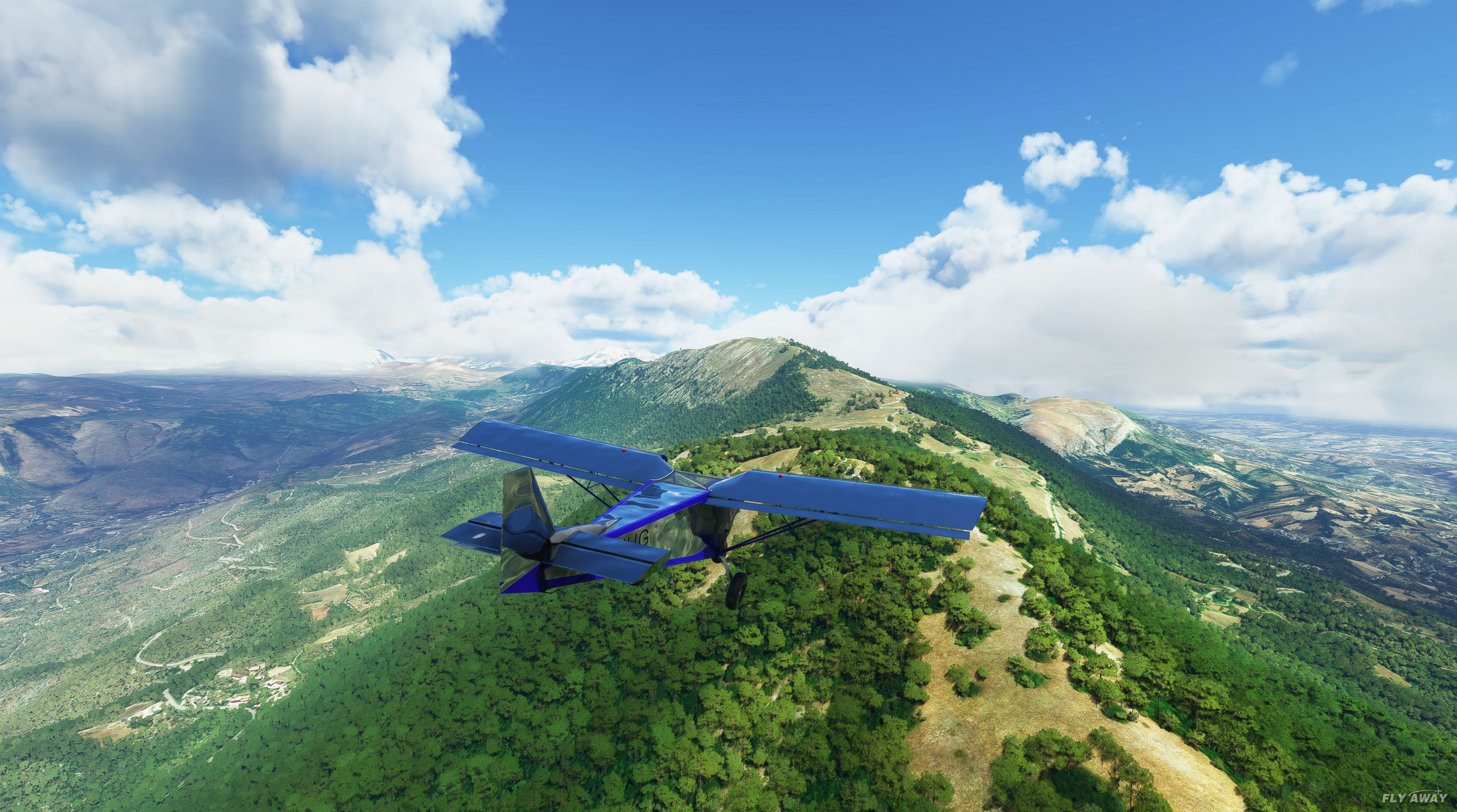
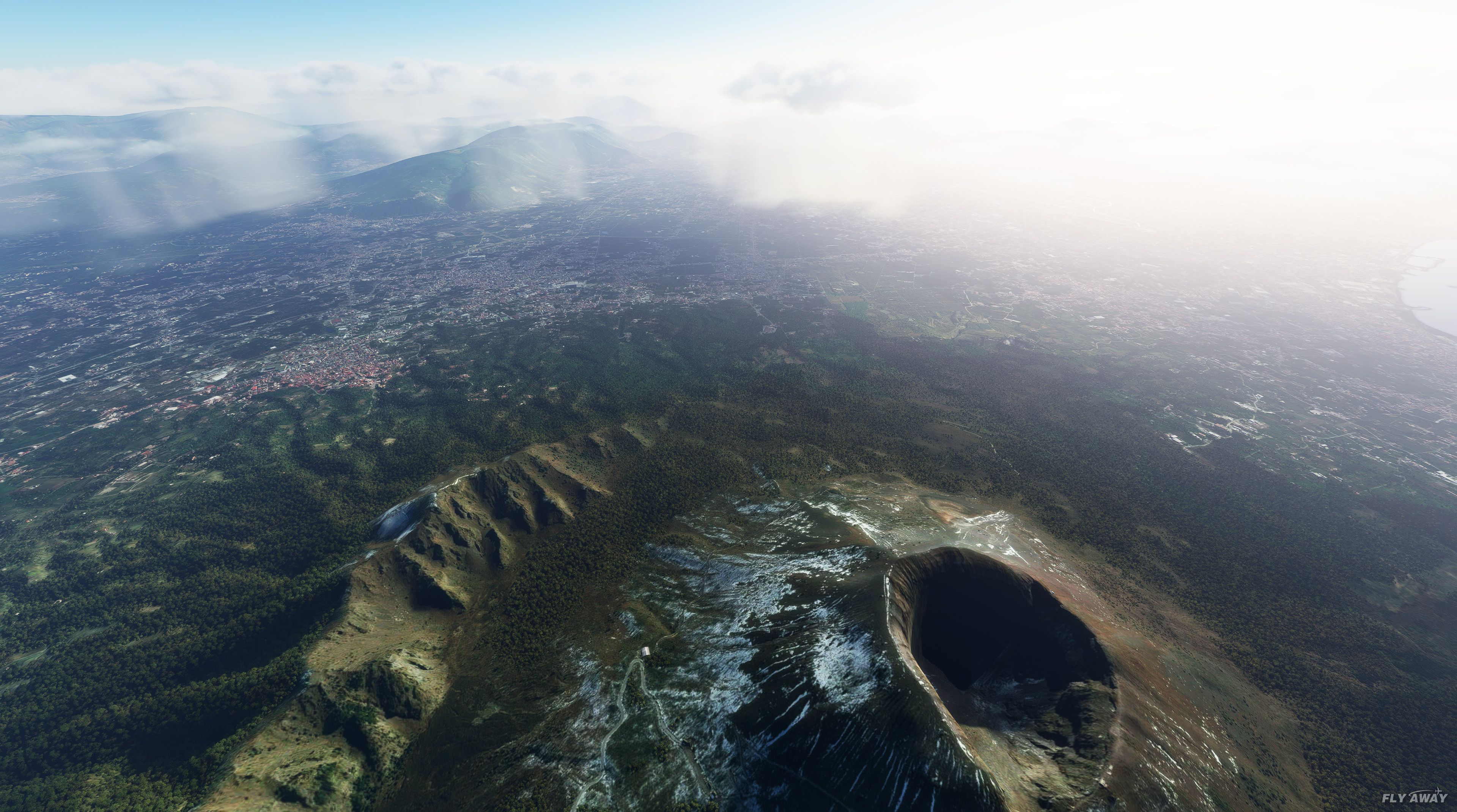
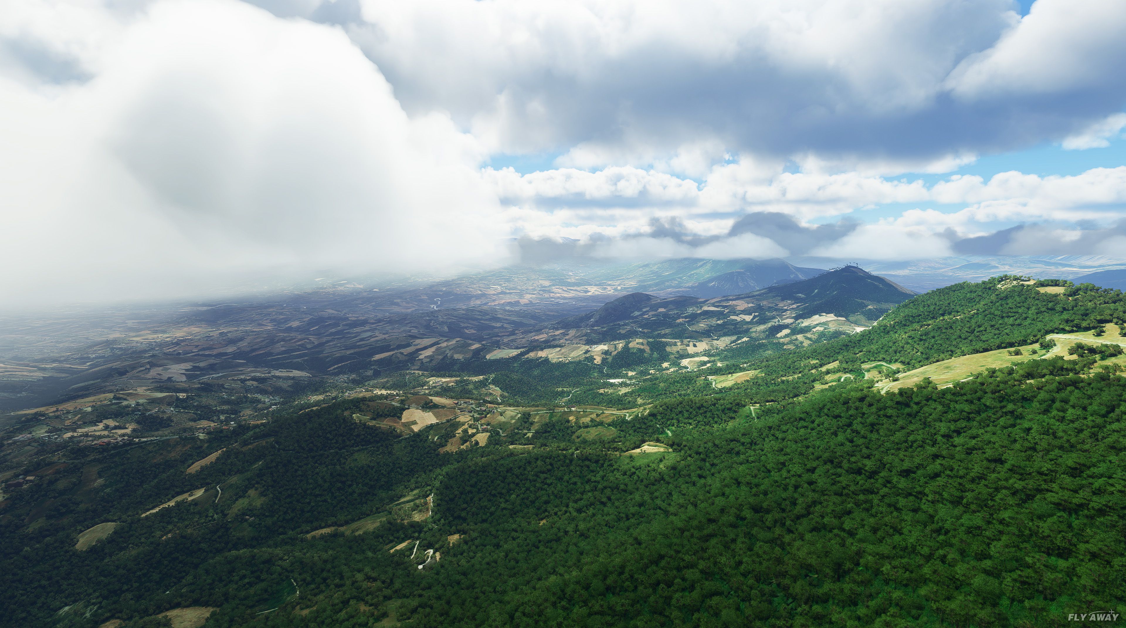
This expert-level terrain mesh mod for Microsoft Flight Simulator dramatically elevates Italy’s topography by integrating 20-meter resolution DEM data. Developed by Chris, it refines mountain peaks, valleys, and coastlines with data sources like TINITALY and EU-DEM, resulting in more authentic contours compared to the default mesh. Having tested it myself, I can confirm it delivers a more convincing visual depth, especially across rugged regions in the north and along the intricate shorelines of Sicily and Sardinia.
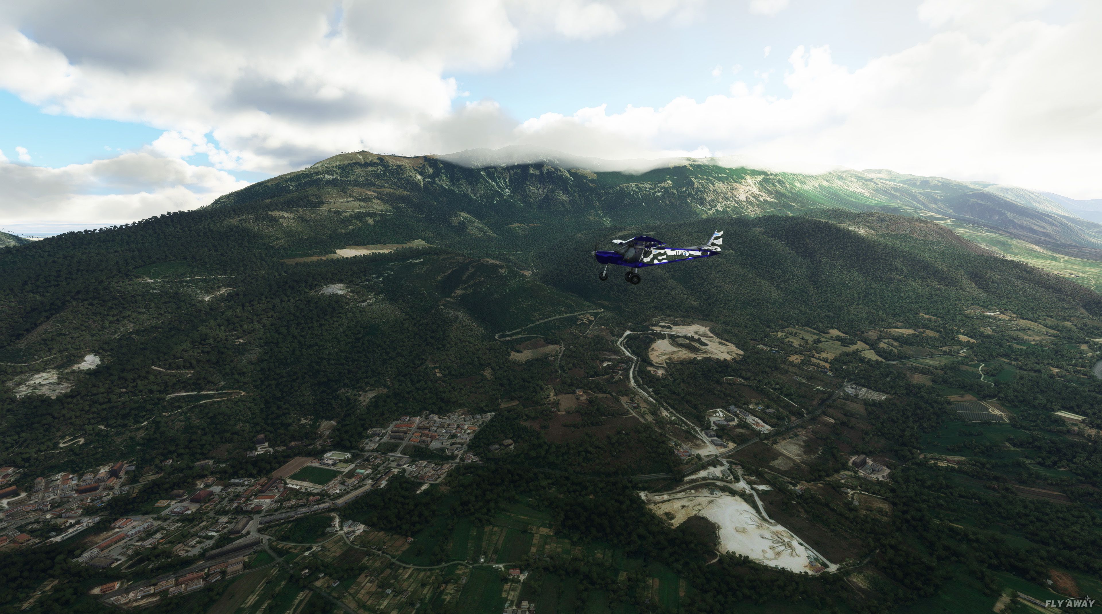
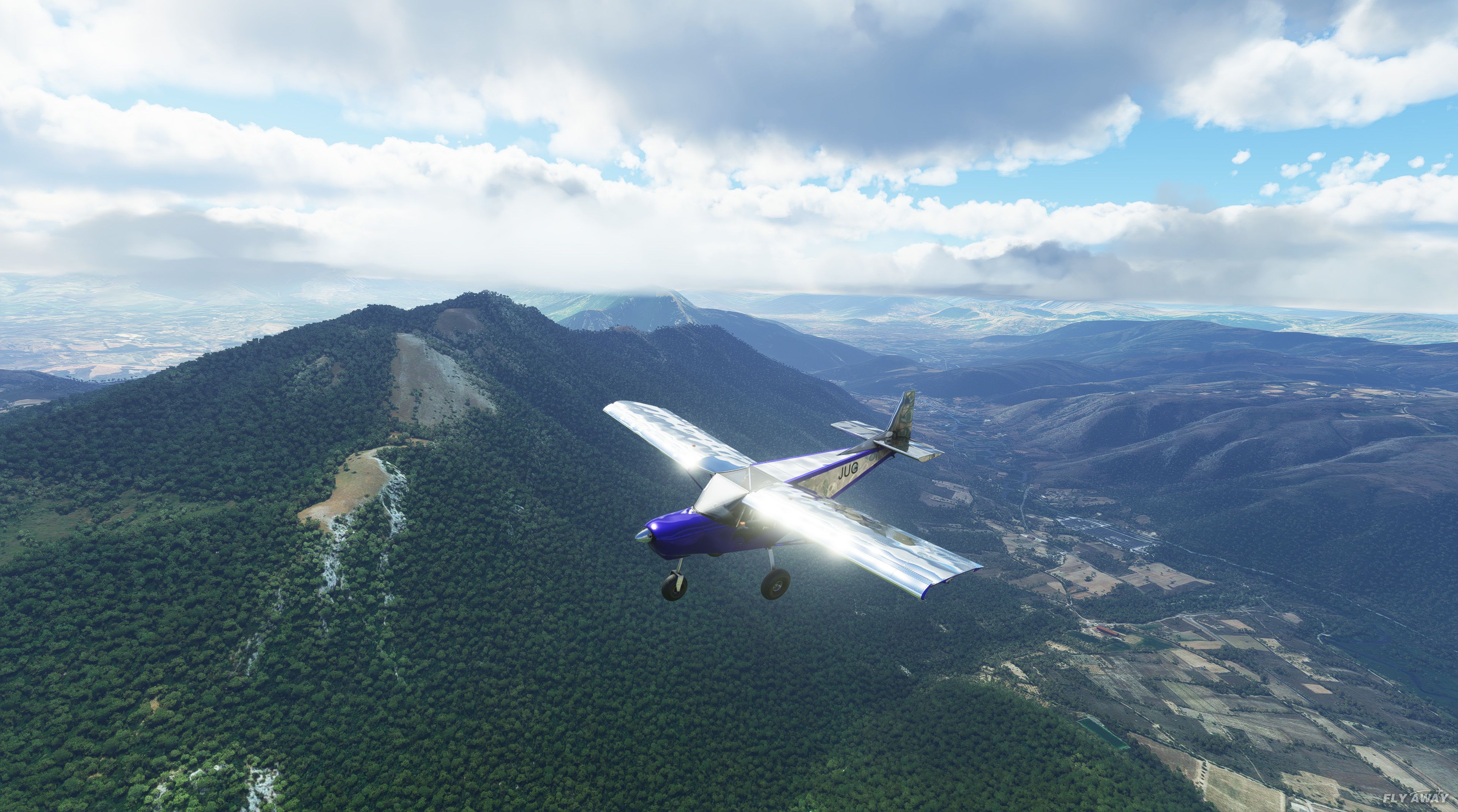
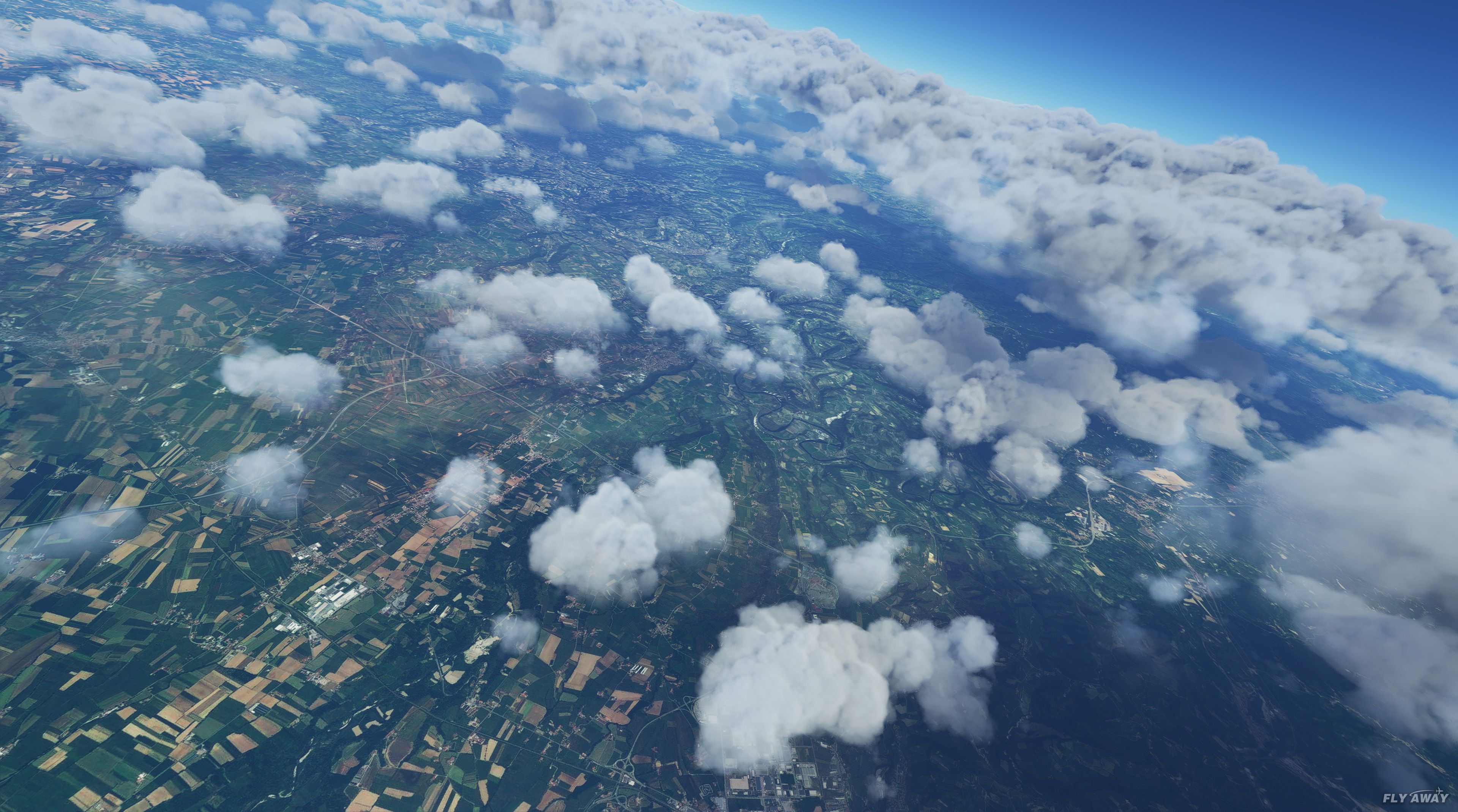
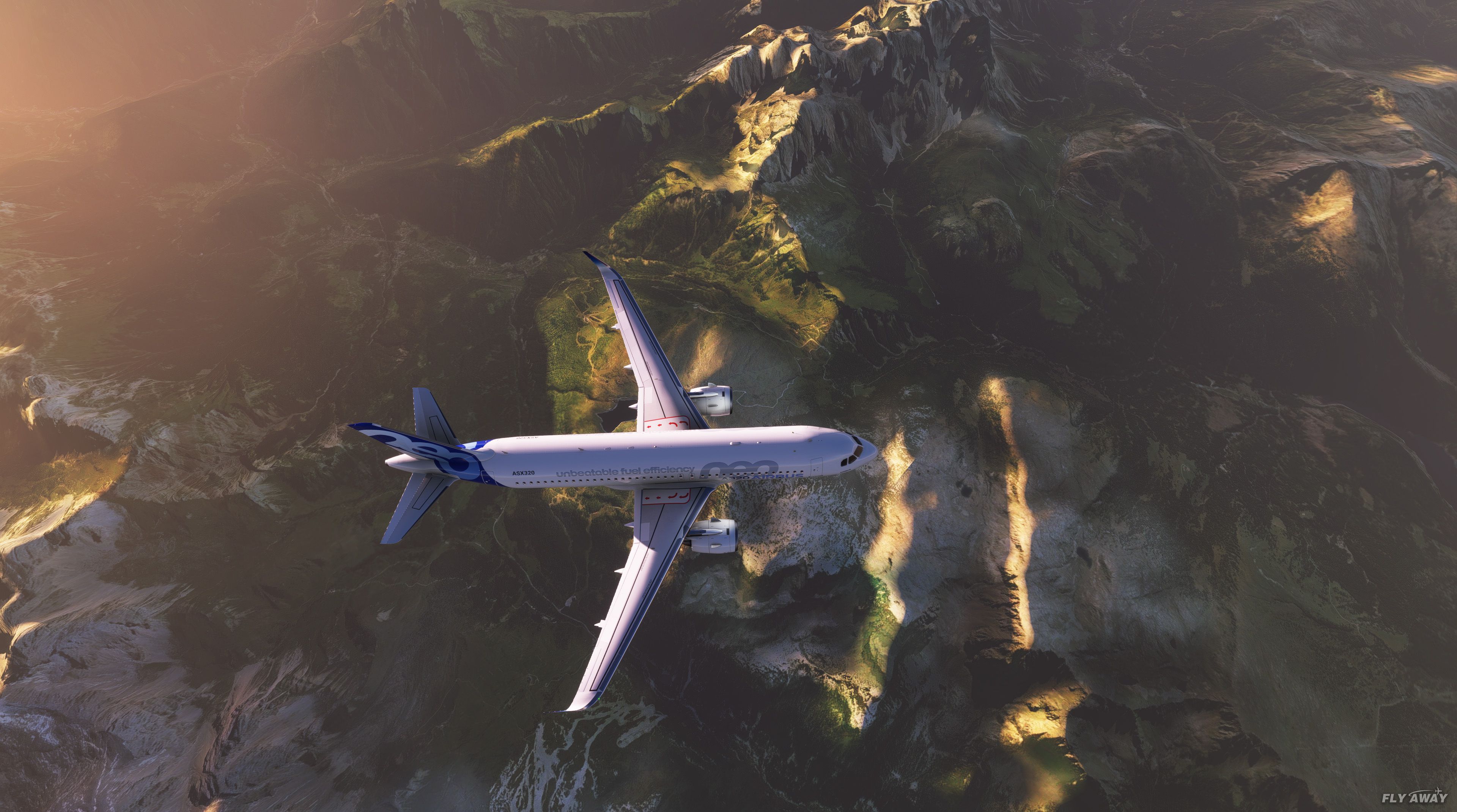
By covering the entire country—north, south, and outlying islands—this scenery update offers a cohesive upgrade that shines in VFR flying, low-altitude navigation, and scenic tours. Minor blending issues or “spikes” at peak elevations have been noted, but they don’t detract from the overall enhanced realism. This mod’s ability to make Italy’s diverse landscapes pop on-screen is unquestionably appealing for dedicated MSFS enthusiasts.
This mod was installed, tested and reviewed by Adam McEnroe for Fly Away Simulation. Adam is an FS mod expert. Read his bio here.
This pack by the developer who simply goes by the name of Chris brings the mesh terrain (DEM - digital elevation models) data up to much higher resolution for the entire country of Italy.
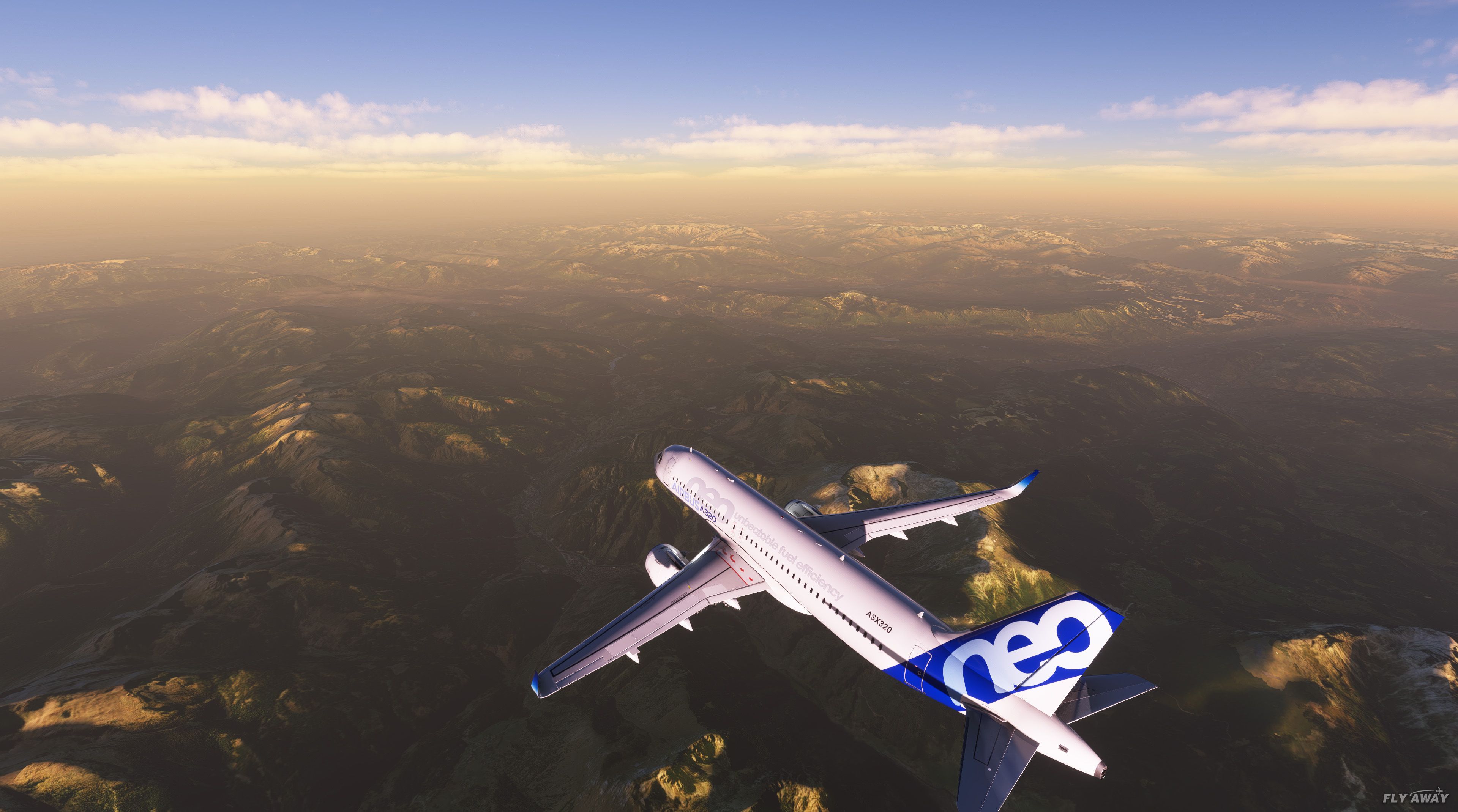
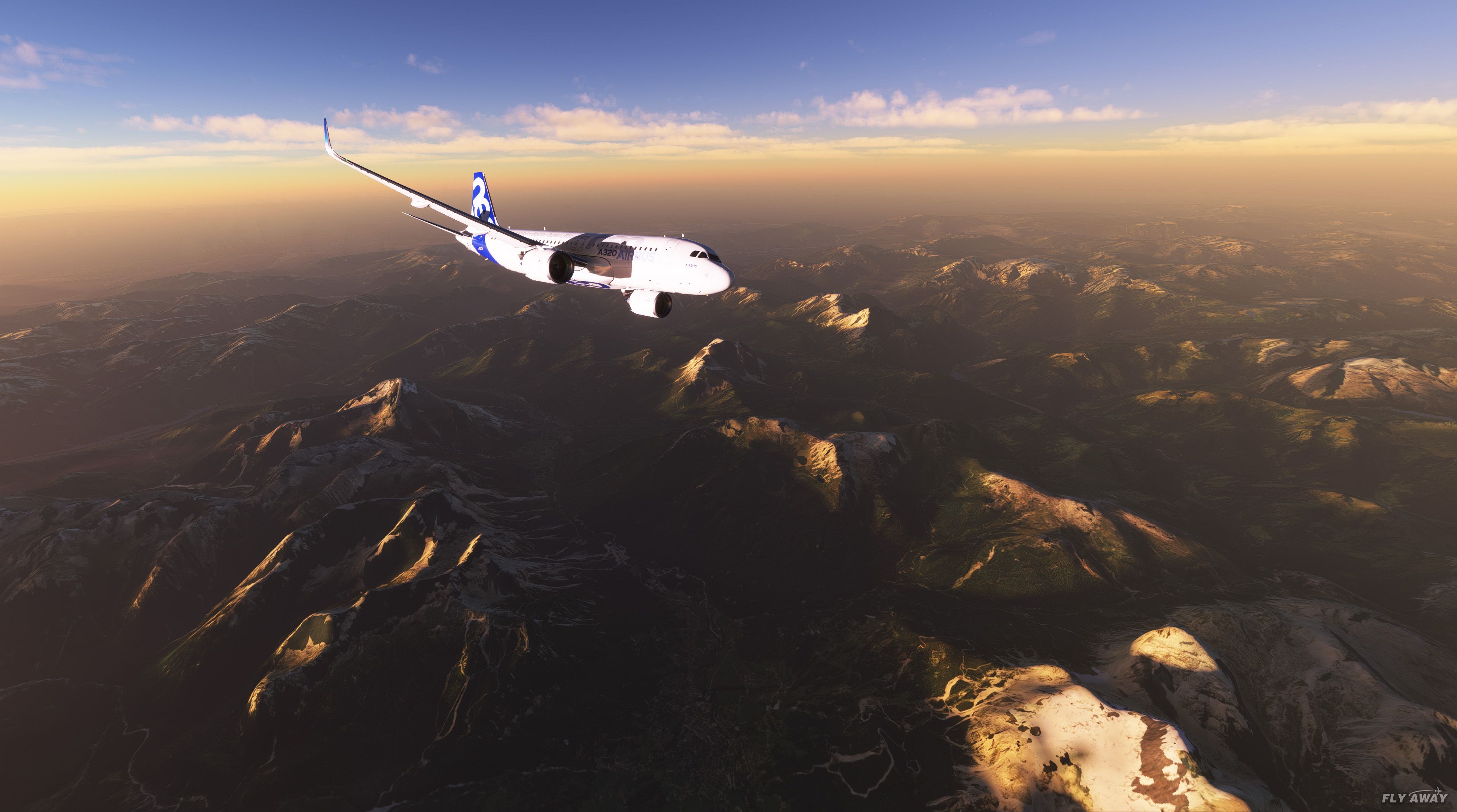
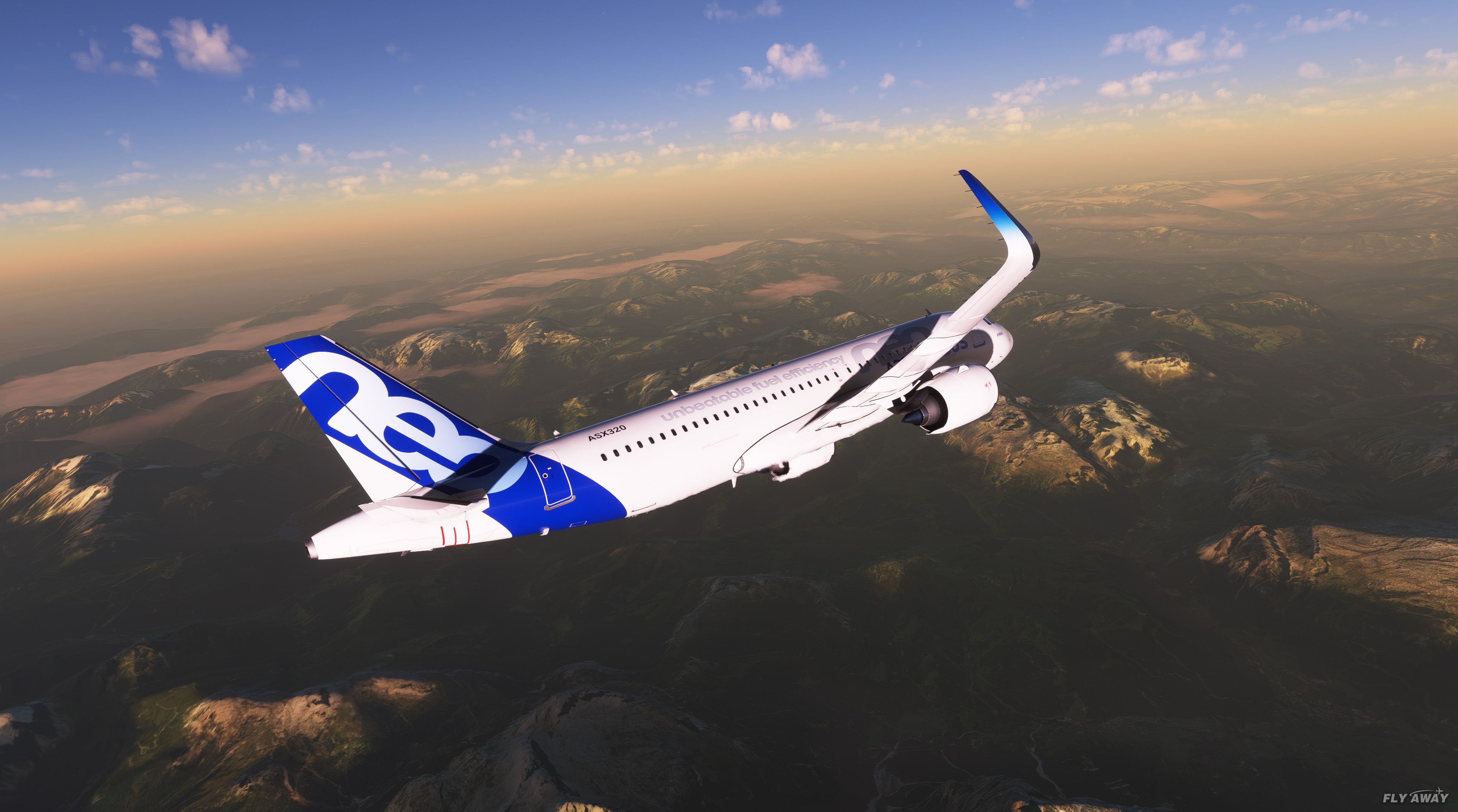
 This pack is compatible with Microsoft Flight Simulator (MSFS) 2020 release. The DEM data in this pack is much improved on the Microsoft default and mountains, valleys, and shorelines look much closer to their real-world counterpart.
DEM data (or mesh as many legacy FS users will know it) is the information that is below the photoreal scenery you see below you. It's what defines the heights, depths, and details of the terrain the photoreal data it "wrapped around".
The entire country of Italy is included, from the far north right down to the lower south regions. Also many of the islands such as Sicily, Sardina are included as well as many more.
Some of the regions included are;
- Abruzzo
- Basilicata
- Calabria
- Campania
- Emilia-Romagna
- Friuli-Venezia Giulia
- Latium (Lazio)
- Liguria
- Lombardia
- Marche
- Molise
- Piemonte
- Puglia (Apulia)
- Sardegna (Sardinia)
- Sicilia (Sicily)
- Toscana (Tuscany)
- Trentino-Alto Adige(Trentino-South Tyrol )
- Umbria
- Valle d'Aosta(Aosta Valley )
- Veneto
This pack brings a 20-meter resolution data to increase the resolution of the default MSFS DEM scenery.
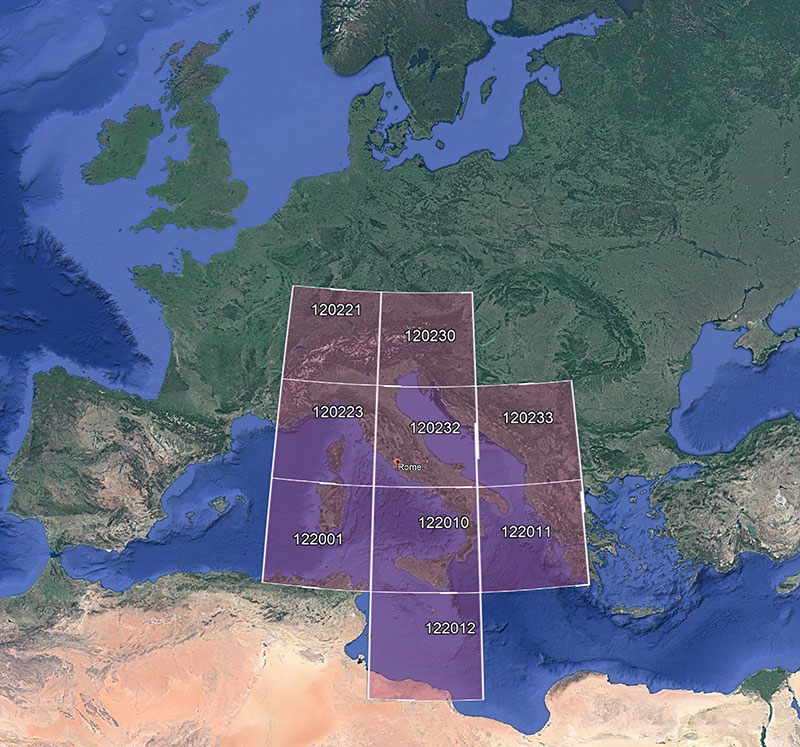
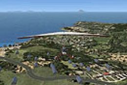
Coverage Area
Below you can find an image of the coverage of this DEM scenery upgrade.
 ?
?
The developer has stated some know issues
- Edges of covered areas don't blend to the original in-game/bing DEM
- Peak elevations might have small "spikes"
- Sub-optimal file size
There will be improvements to this mesh in future updates. Bookmark this page to stay updated.
Installation
Unzip the archive and copy the folder ItalyDEM from the extracted archive in your MSFS community folder.
Credits issued by the developer for the data included in the release
- DEM10 by TINITALY
- Tarquini S., Isola I., Favalli M., Battistini A. (2007) TINITALY, a digital elevation model of Italy with a 10 m-cell size (Version 1.0) [Data set]. Istituto Nazionale di Geofisica e Vulcanologia (INGV)
- DEM25 by EU-DEM v1.1 - Copernicus data and information policy Regulation (EU)
License
The developer has released this pack under CC BY-NC-SA 4.0.
Developer: Chris.
Images & Screenshots


Installation Instructions
Most of the freeware add-on aircraft and scenery packages in our file library come with easy installation instructions which you can read above in the file description. For further installation help, please see our Flight School for our full range of tutorials or view the README file contained within the download. If in doubt, you may also ask a question or view existing answers in our dedicated Q&A forum.


5 comments
Leave a ResponseThe content of the comments below are entirely the opinions of the individual posting the comment and do not always reflect the views of Fly Away Simulation. We moderate all comments manually before they are approved.
I just downloaded it, I'll try it and I'll tell you.........
Thank you all for doing such a great job.
THIS SORT OF THING MAKES FLYING WORTH WHILE
I HAVE
FS2020KEVIN
September 16, 2022, LOWI elevation is severely corrupted with this current addon. It was the same with or without the ORBX LOWI addon installed. The scenery in Italy seems to be okay. I have taken several screenshots. I understand that you are aware of elevation spikes at the area borders of this addon. I thank you for your hard work and contribution but just letting you know what I observed. Best regards ... Dan.
How is it possible to use DEM for MSFS2020, I am looking for a solution for Faröer Islands because the whole area has poor mesh.
It is very detailed, I know some valleys and these are detailed with great accuracy.