FSX British Columbia Flying Tour
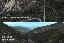
British Columbia Flying Tour delivers an 11-leg VFR route along the Kitimat, Skeena, and Nass river valleys, showcasing rugged north-coast terrain and sharpening navigation skills in FSX. Designed for ultralights and bushplanes, it includes itinerary notes, chart excerpts, enroute screenshots, and custom dirt strips for wheels or floats; requires Ultimate Terrain Canada.
 Prepar3D
- File: vfrtour.zip
- Size:10.28 MB
- Scan:
Clean (26d)
- Access:Freeware
- Content:Everyone
British Columbia Flying Tour. A VFR flying tour of 3 major river systems on the north coast of B.C. Canada - the Kitimat, the Skeena, and the Nass. It is an excellent way to see the terrific topography of this area as well as test your VFR flying skills. Requires Ultimate Terrain Canada for FSX. By Doug Keech.
British Columbia Flying Tour.
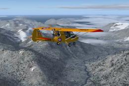
3 River Tour for Ultralights and Bushplanes
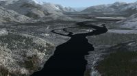
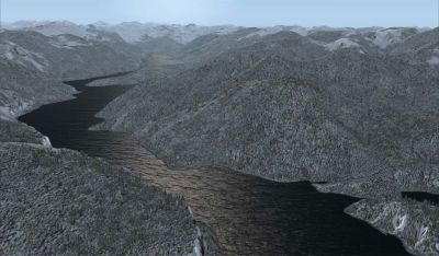
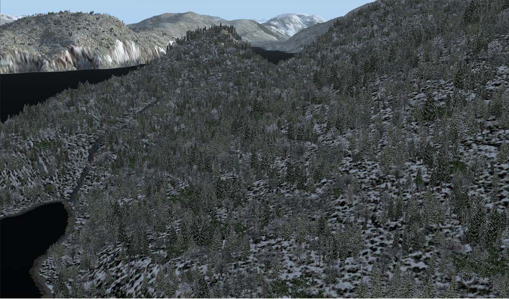
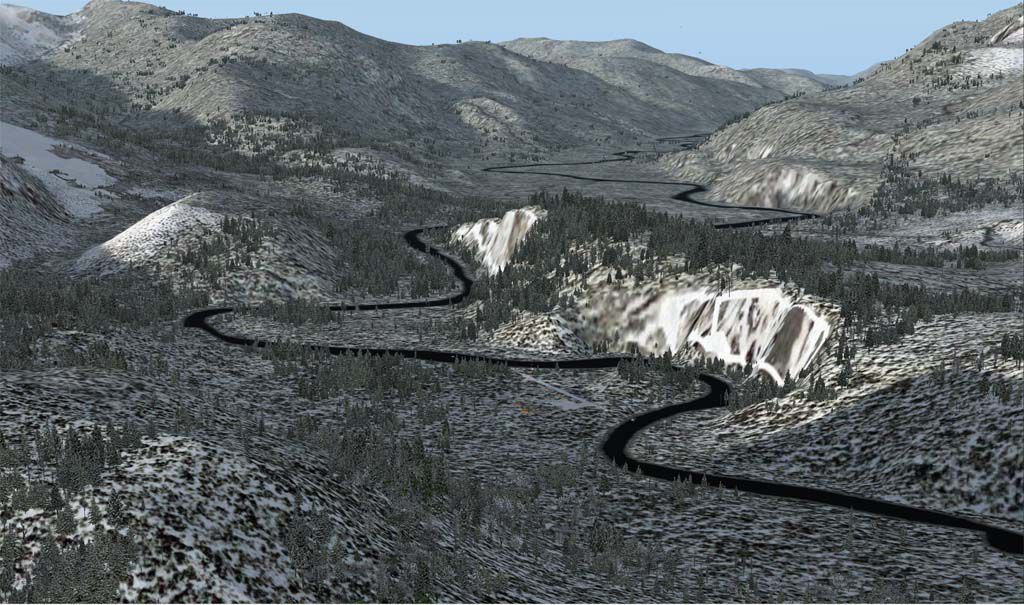
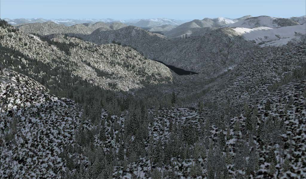
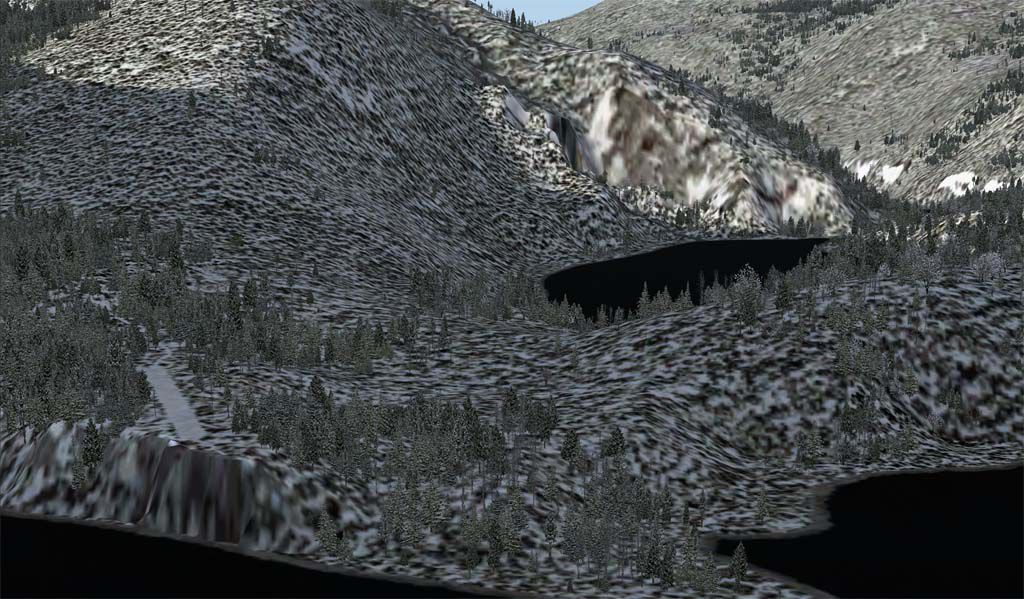
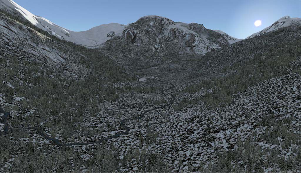
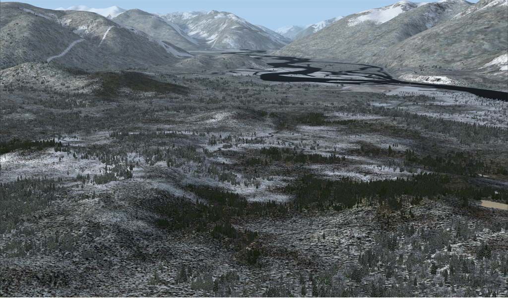
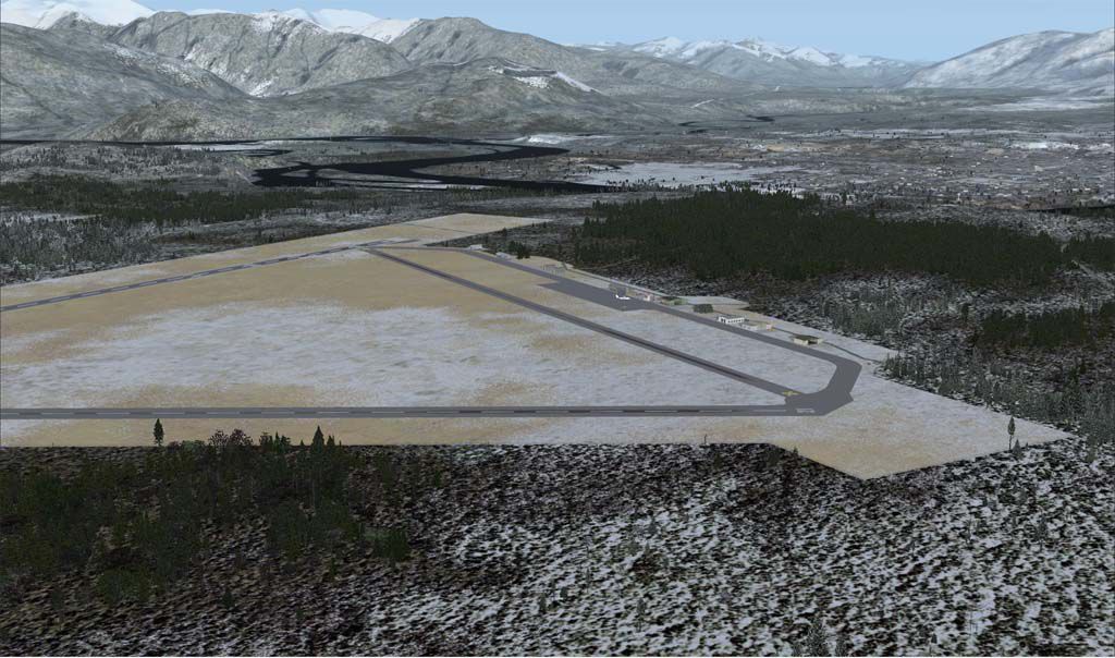
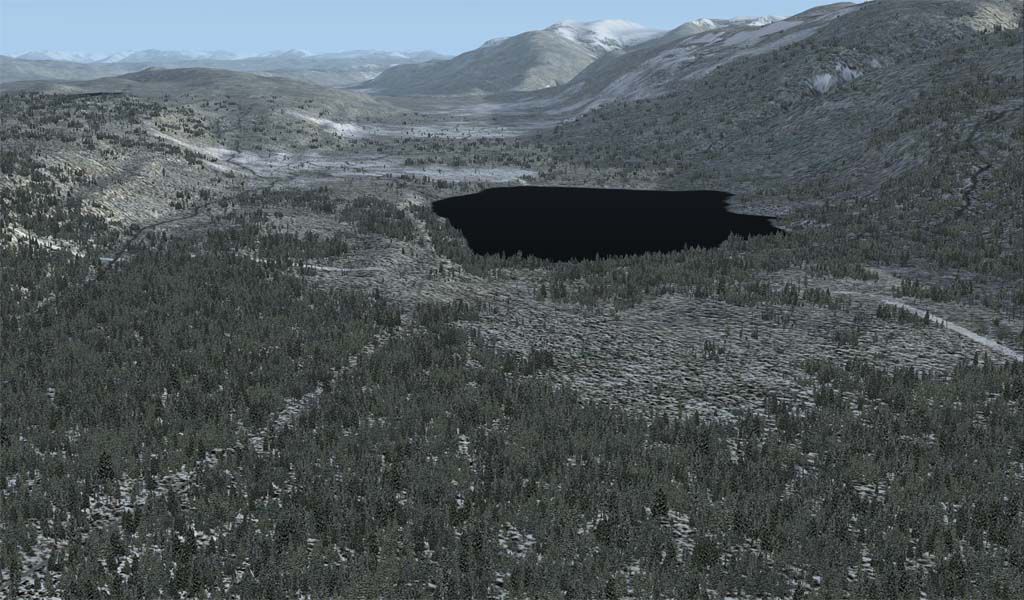
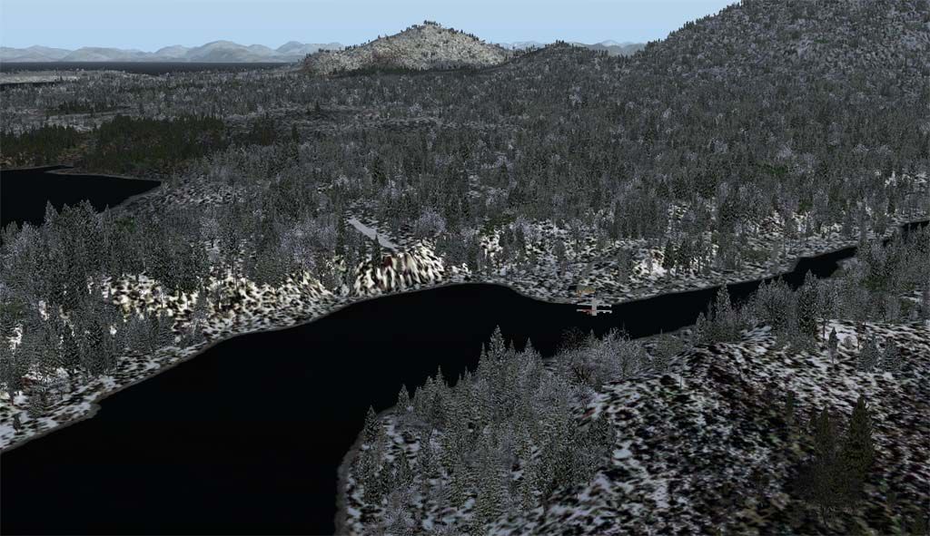
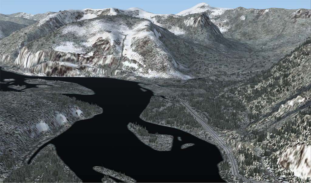
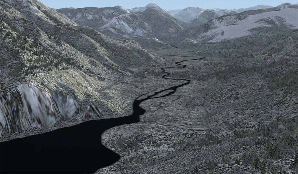
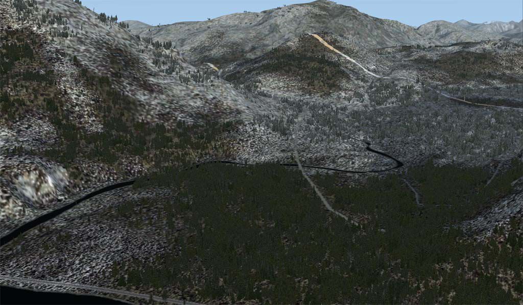
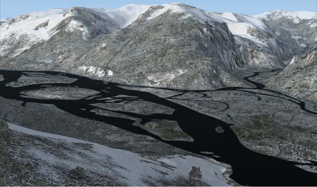
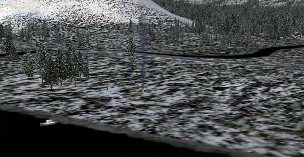
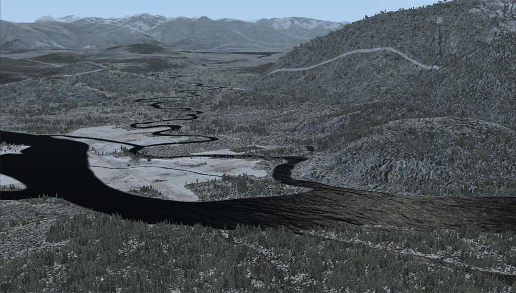
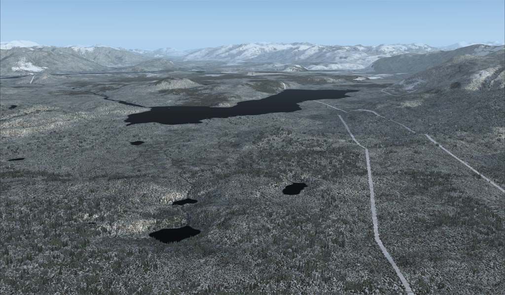
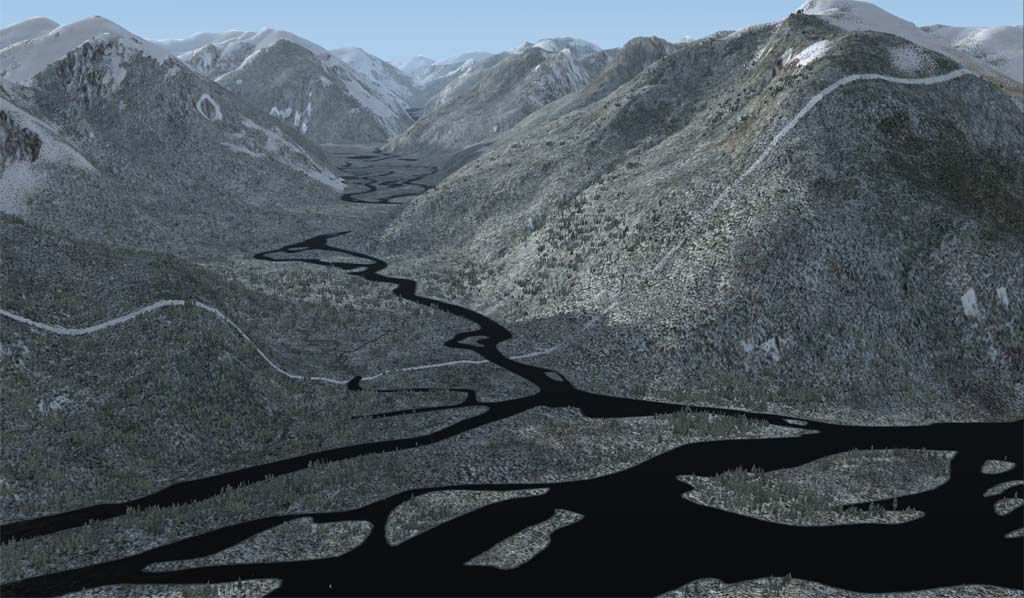
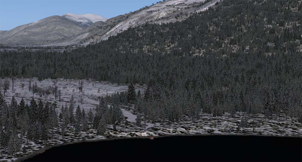
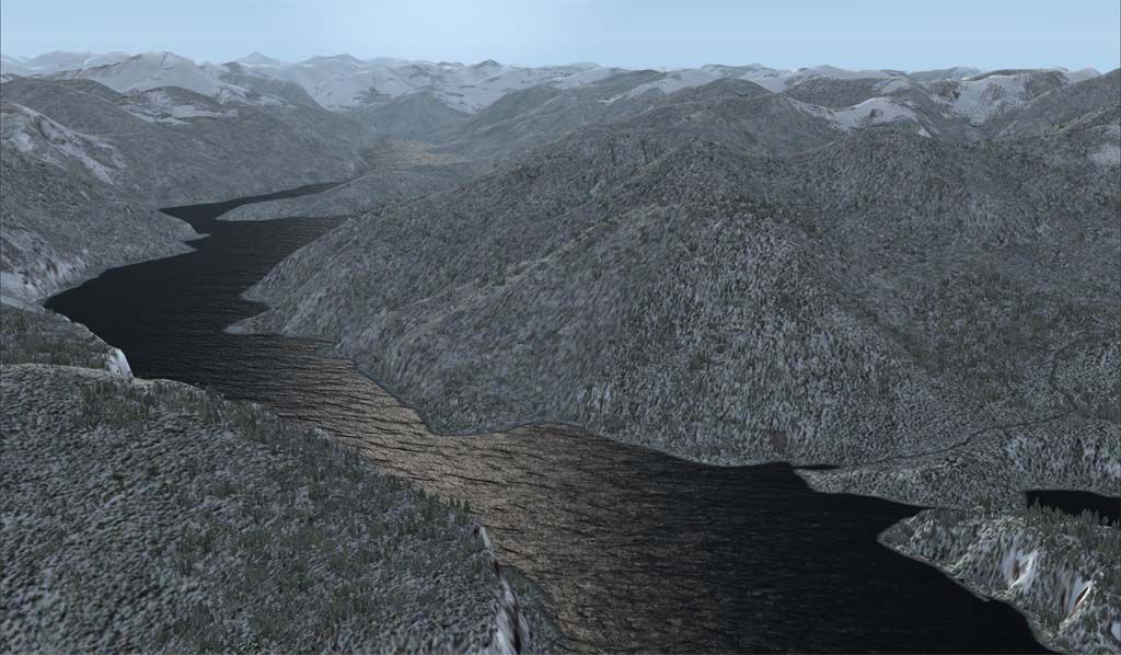
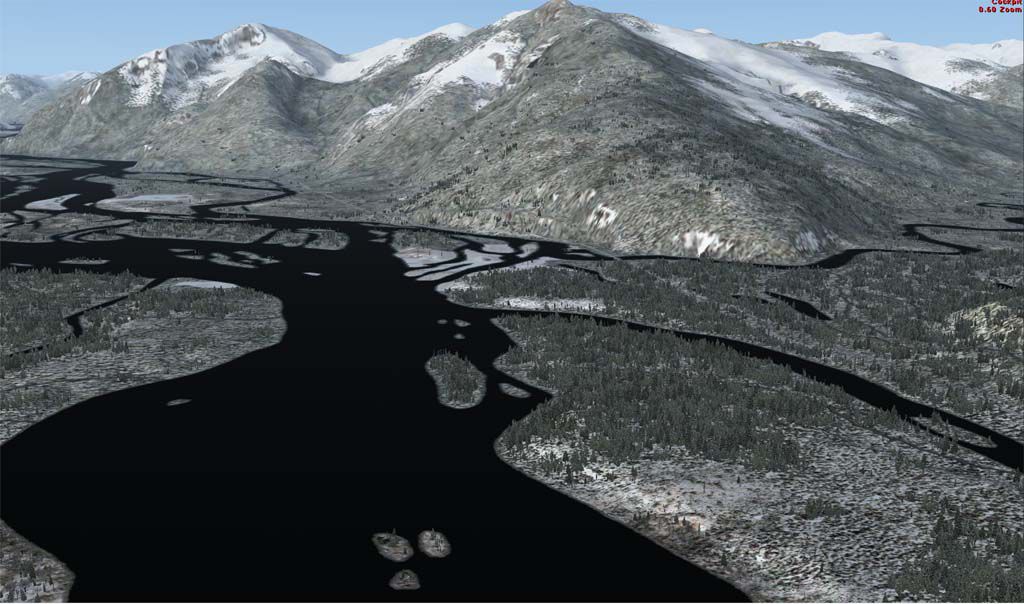
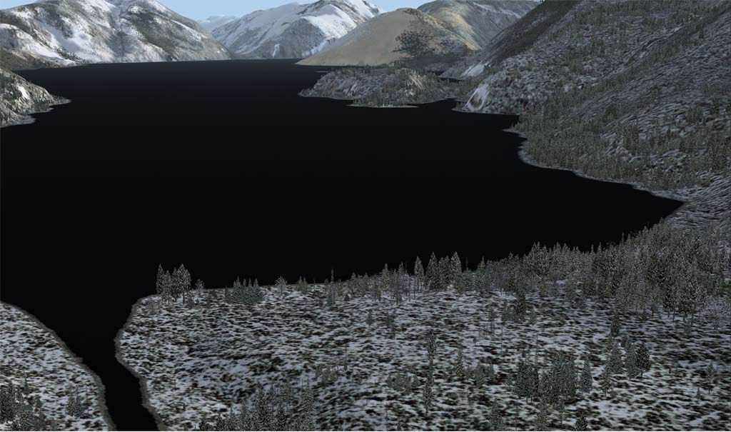
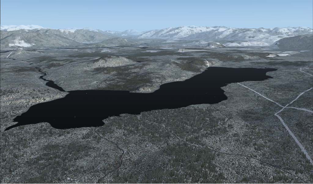
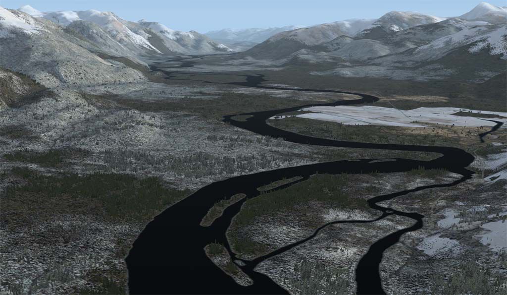
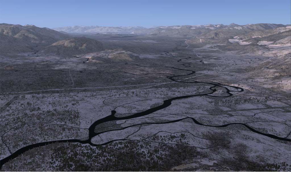
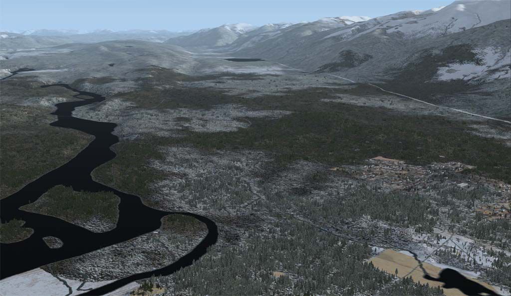
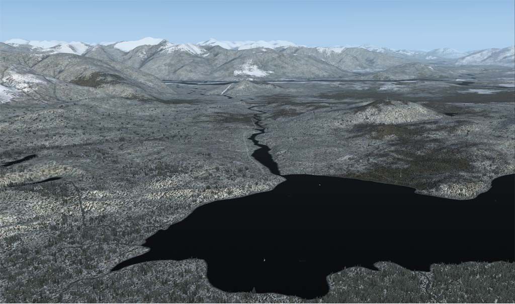
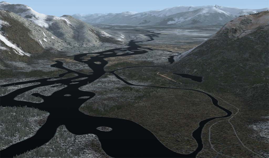
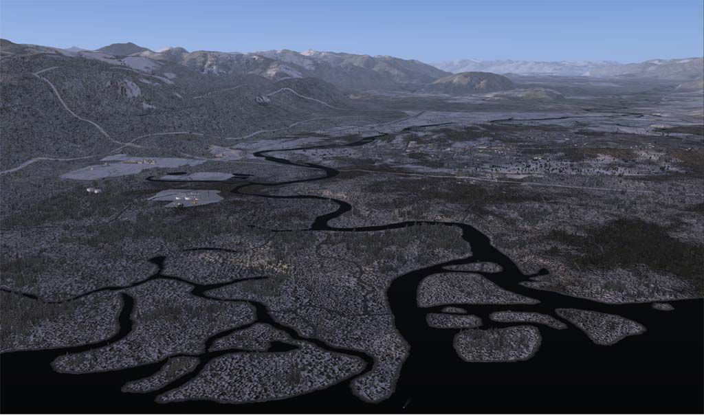
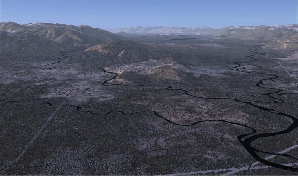
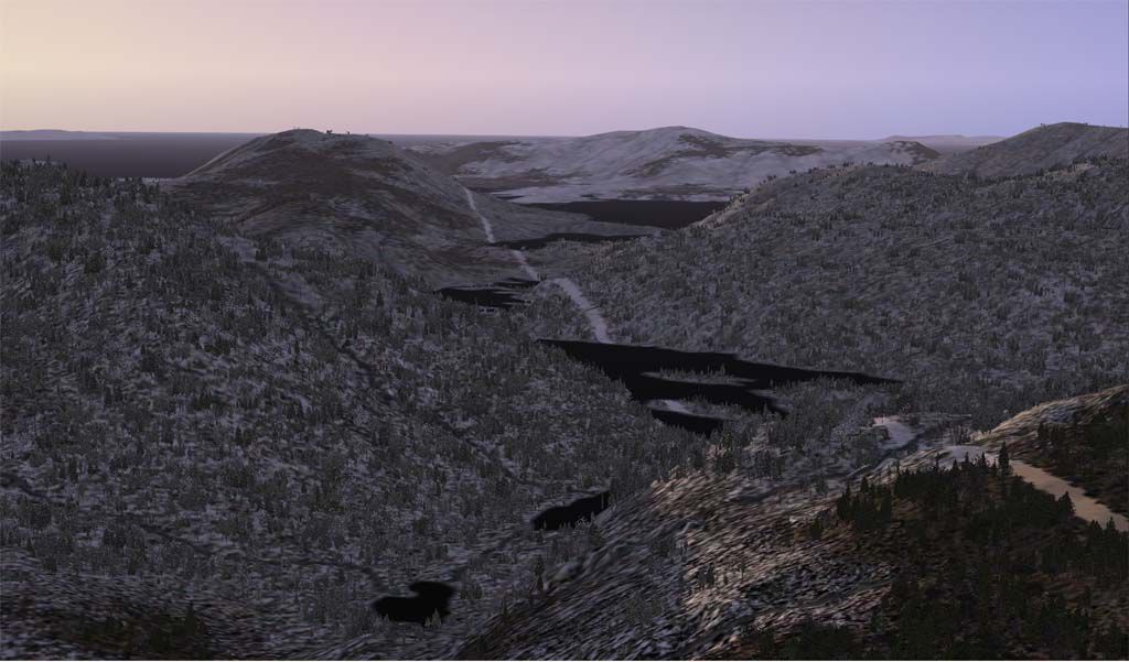
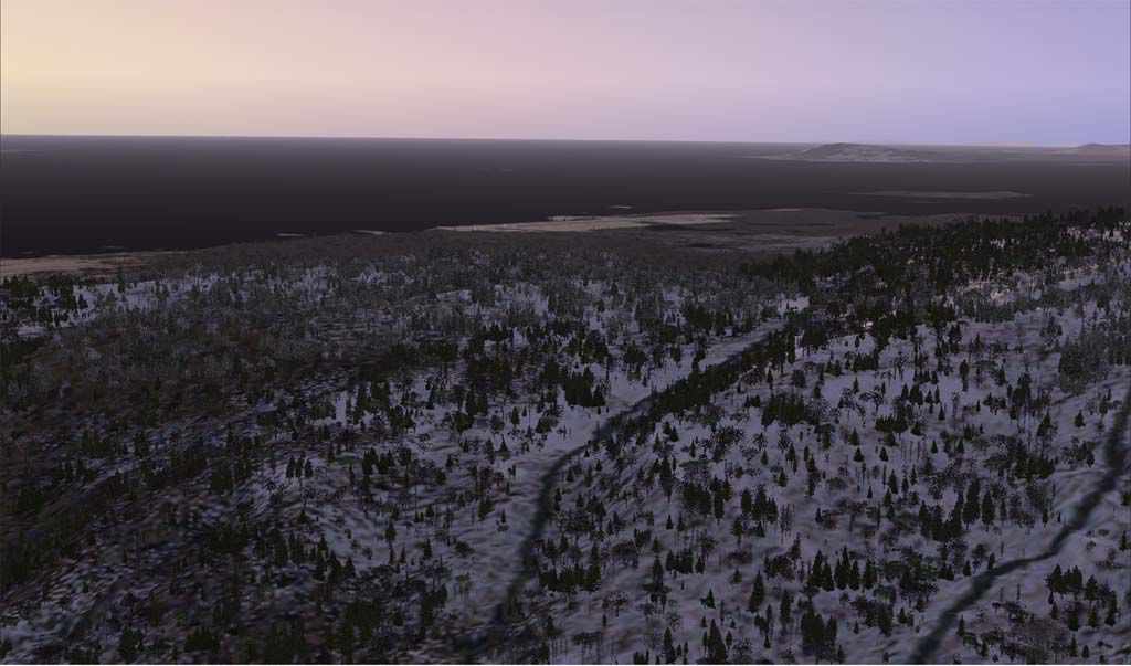
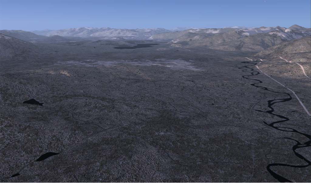
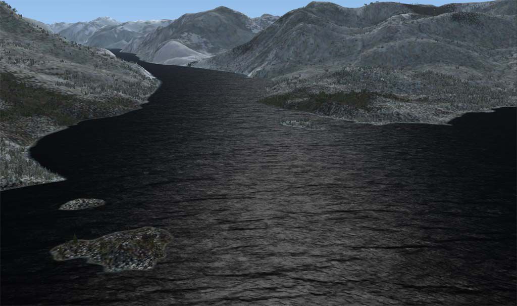
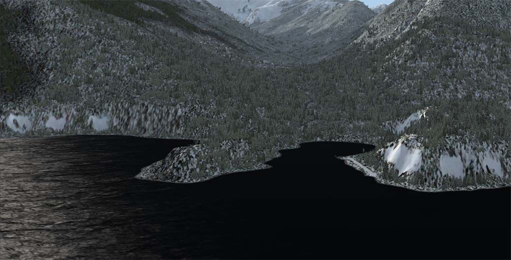
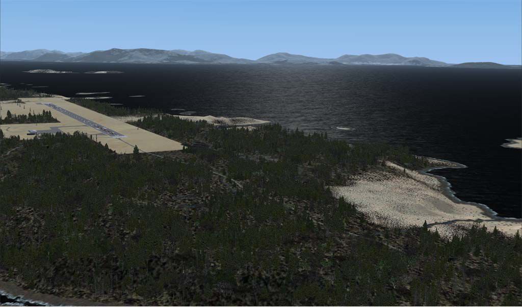
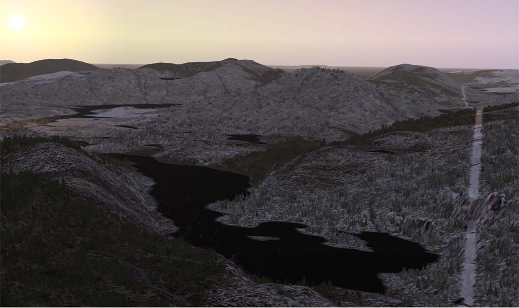
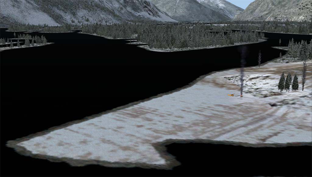
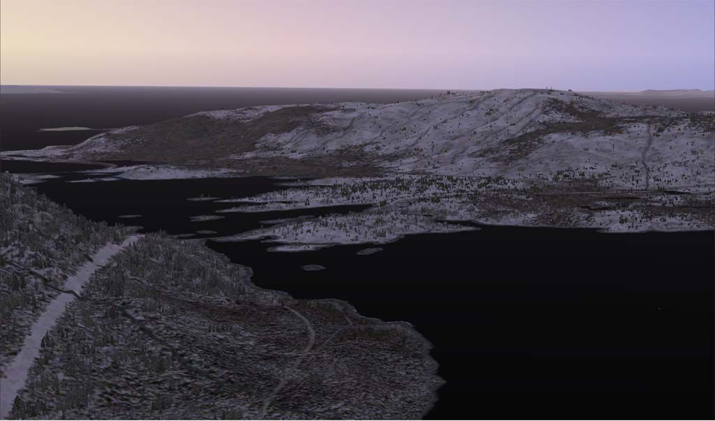
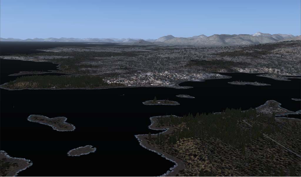
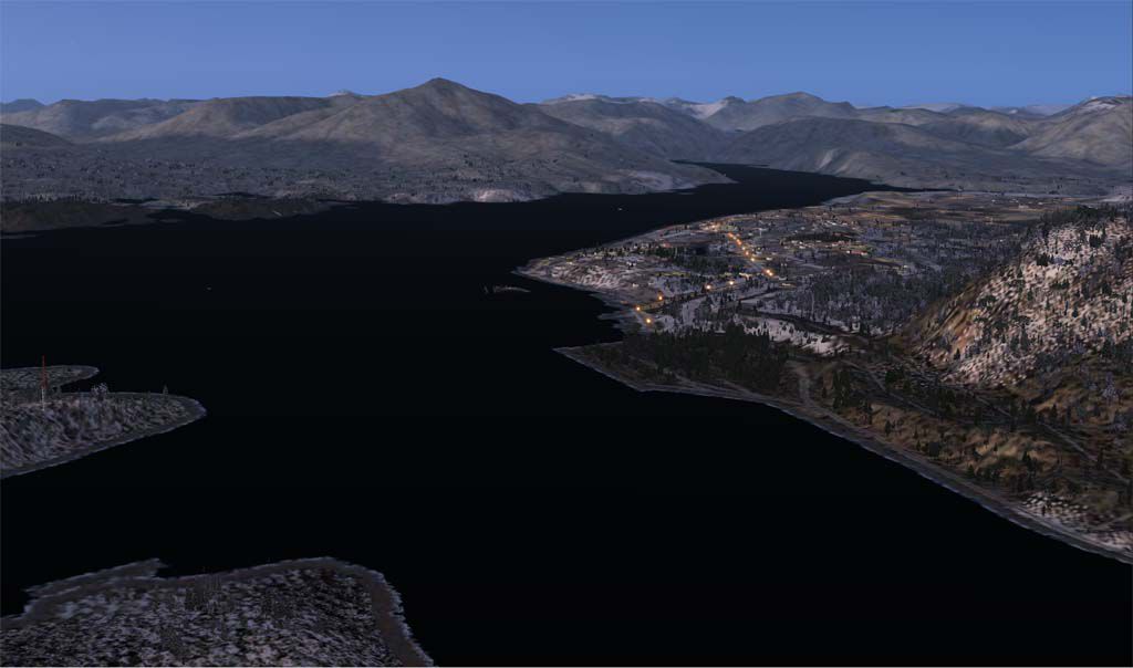
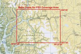
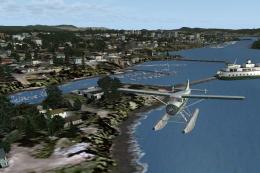
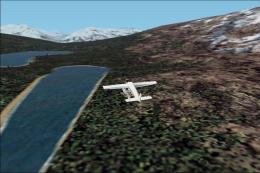
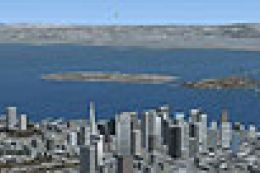
This is a flying tour of 3 major river systems here on the north coast of B.C. Canada - the Kitimat, the Skeena, and the Nass. It is an excellent way to see the terrific topography of this area as well as test your VFR flying skills. The tour begins at Kitimat airpark and ends at Dragon Lake just east of the village of New Aiyansh in the Nass valley.
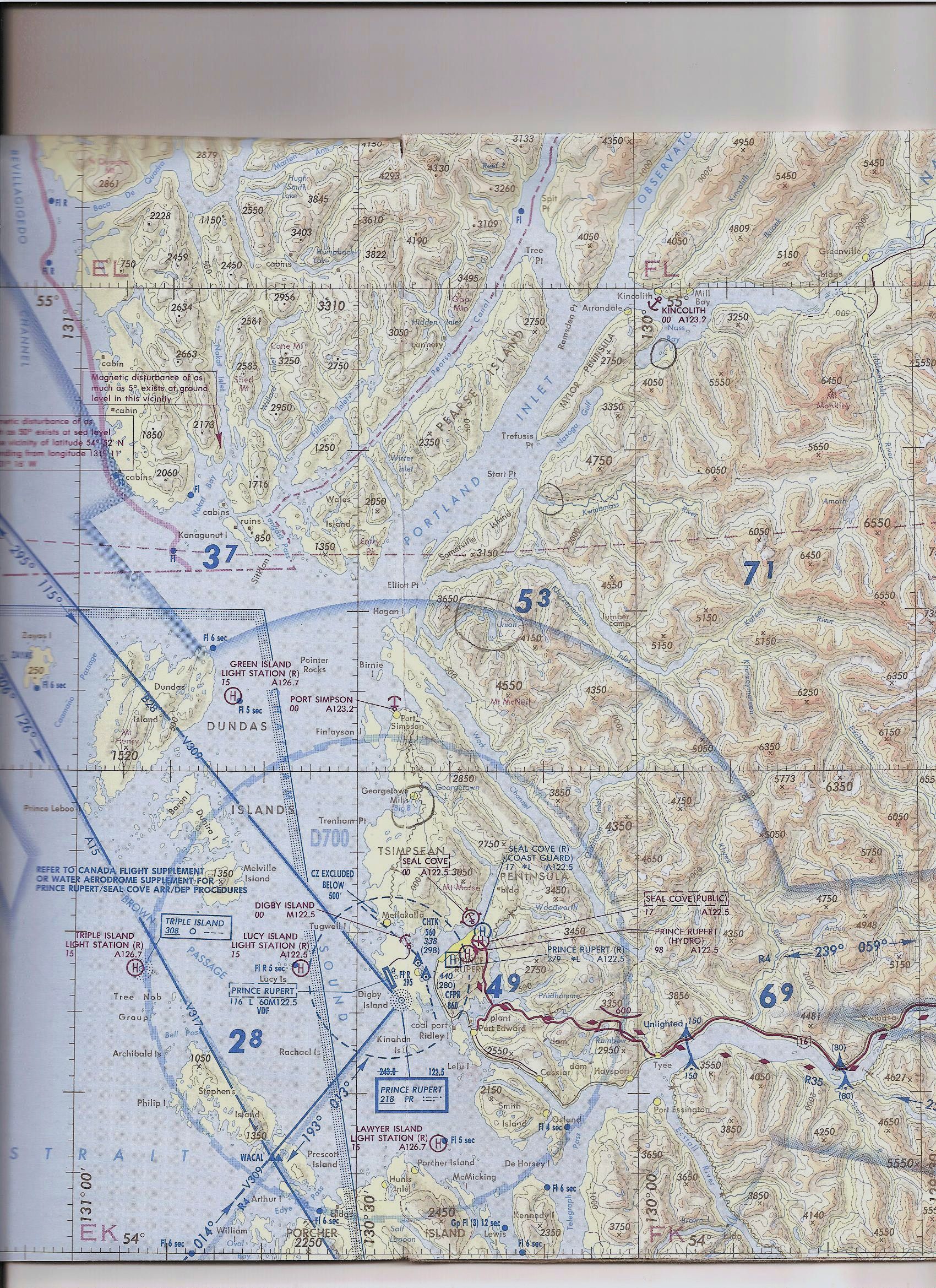
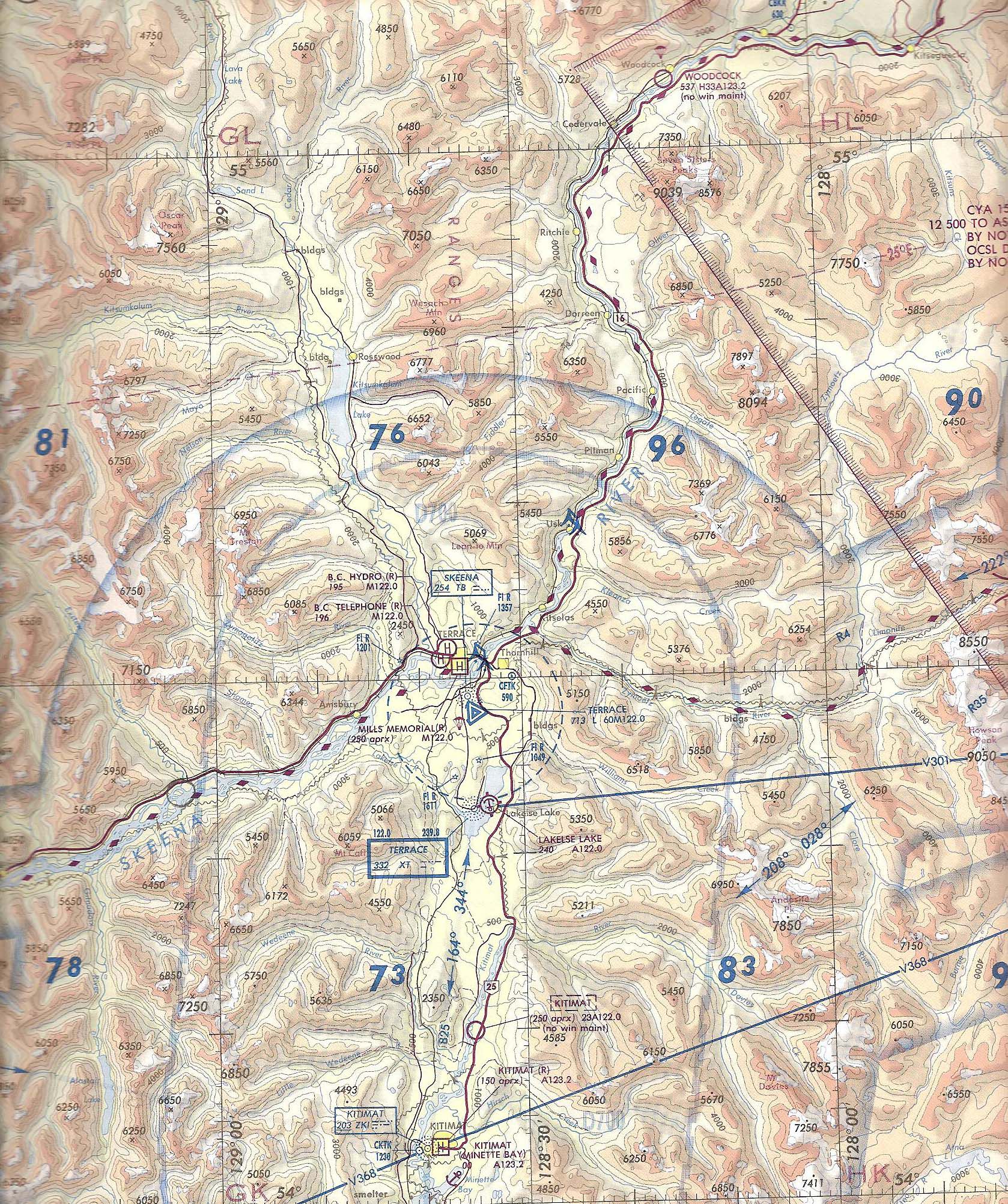
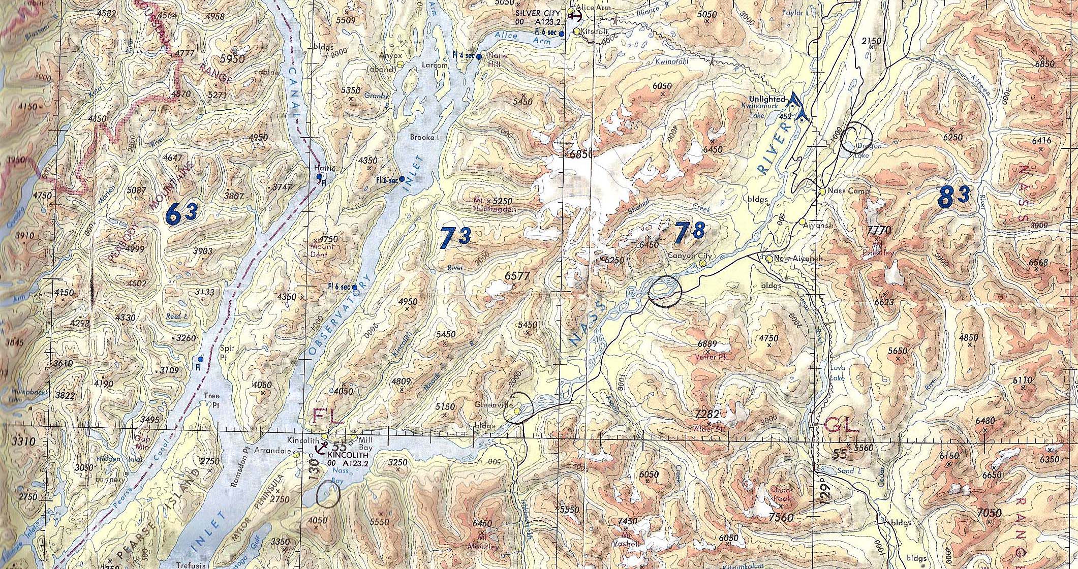
I have divided the tour up into 11 short legs, the longest being about a 40 minute flight in the challenger ultralight. Included in this package is a flight itinerary doc, scanned portions of VNC maps (vfr1, vfr2, vfr3), and fsx screenshots taken enroute.
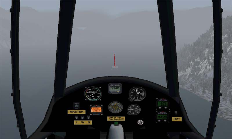
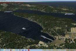
This tour is really designed for aircraft like the challenger ultralight or the piper supercub which are both highly manouverable and can takeoff/land in short distances. I have created dirt strips in several locations along the way so you can fly either with wheels or floats. If you choose to fly using real weather that would be great, however be warned that this area is notorious for low ceilings and poor visibility.
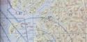
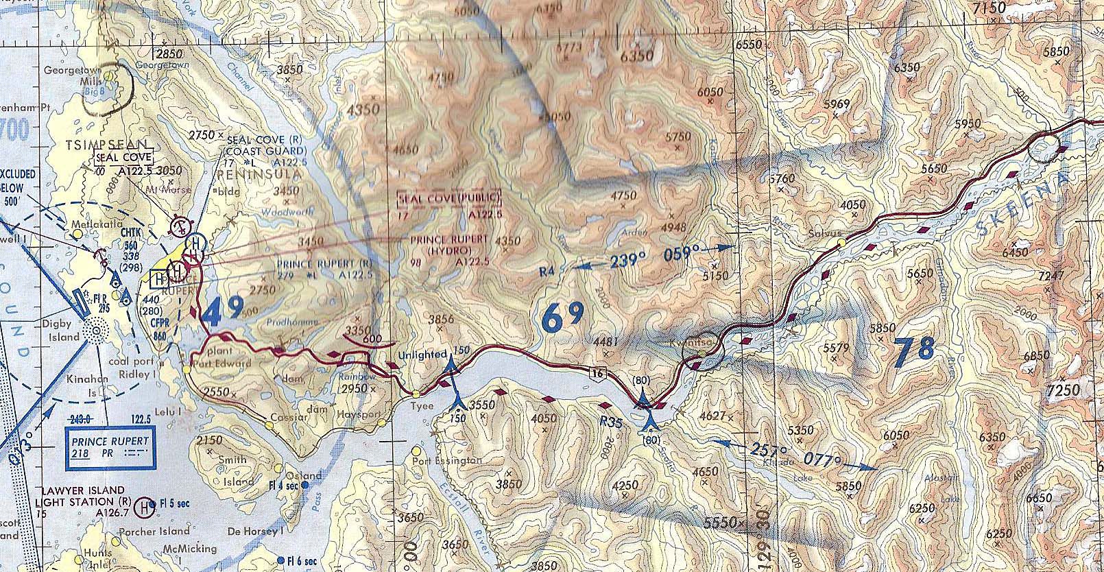
Be sure to study the VNC scanned charts prior to setting out so that you can become familiar with the landmarks and you know where you are going. This is mountainous terrain and it can be very easy to get turned around when you're not paying attention to where you are at all times.
It's also a good idea to save a flight situation in each area as you arrive so that you can get there quickly for future flights.
Required software:
- you must have Ultimate Terrain Canada for fsx
- you must go to my site and download
1.) kitimat/terrace scenery files for ultimate terrain canada only
2.) kwinamass river files
3.) nass valley files
I hope you enjoy flying the area VFR! Good luck and safe flying.
Regards,
Doug Keech
British Columbia Flying Tour.
Images & Screenshots


The archive vfrtour.zip has 52 files and directories contained within it.
File Contents
This list displays the first 500 files in the package. If the package has more, you will need to download it to view them.
| Filename/Directory | File Date | File Size |
|---|---|---|
| 3 Rivers Tour.doc | 01.04.09 | 1.91 MB |
| Kwinamass map 001.jpg | 12.07.08 | 1.71 MB |
| vfr1.jpg | 01.03.09 | 1.24 MB |
| vfr2.jpg | 01.03.09 | 567.55 kB |
| vfr3.jpg | 01.03.09 | 1.03 MB |
| Big Bay.jpg | 01.04.09 | 138.85 kB |
| Canyon City dirt strip.jpg | 01.04.09 | 97.58 kB |
| CYPR.jpg | 01.04.09 | 79.18 kB |
| CYXT.jpg | 01.04.09 | 137.14 kB |
| Dragon Lake.jpg | 01.04.09 | 136.45 kB |
| Dragon Lake dirt strip.jpg | 01.04.09 | 117.48 kB |
| Ecstall River.jpg | 01.04.09 | 89.19 kB |
| Exchamsiks River juncion with Skeena.jpg | 01.04.09 | 128.37 kB |
| Exstew River juntion with Skeena.jpg | 01.04.09 | 116.86 kB |
| Exstew River sandbar.jpg | 01.04.09 | 77.30 kB |
| Gitnadoix River juncion with Skeena.jpg | 01.04.09 | 117.43 kB |
| Greenville dirt strip.jpg | 01.04.09 | 105.97 kB |
| Iron Mine & Deception Lakes.jpg | 01.04.09 | 89.24 kB |
| Khutzeymateen Inlet.jpg | 01.04.09 | 112.87 kB |
| Kitimat River.jpg | 01.04.09 | 103.22 kB |
| Kitimat River estuary.jpg | 01.04.09 | 95.88 kB |
| Kwinamass hump.jpg | 01.04.09 | 165.67 kB |
| Kwinamass lower strip.jpg | 01.04.09 | 161.51 kB |
| Kwinamass River mouth.jpg | 01.04.09 | 133.36 kB |
| Kwinamass upper strip.jpg | 01.04.09 | 152.96 kB |
| Kwinitsa.jpg | 01.04.09 | 137.17 kB |
| Kwinitsa low vis.jpg | 01.04.09 | 42.00 kB |
| Kwinitsa sandbar.jpg | 01.04.09 | 129.76 kB |
| Lakelse Lake.jpg | 01.04.09 | 124.57 kB |
| Lakelse Lake & CYXT.jpg | 01.04.09 | 112.44 kB |
| Lakelse River.jpg | 01.04.09 | 104.25 kB |
| Lakelse River estuary.jpg | 01.04.09 | 124.88 kB |
| Little & Big Wedeene Rivers.jpg | 01.04.09 | 92.84 kB |
| Metlakatla.jpg | 01.04.09 | 66.24 kB |
| nass bay approach.jpg | 01.04.09 | 117.45 kB |
| Nass Bay dirt strip.jpg | 01.04.09 | 91.69 kB |
| Nass River.jpg | 01.04.09 | 109.31 kB |
| Nass River estuary.jpg | 01.04.09 | 76.88 kB |
| New Aiyansh toward Dragon Lake.jpg | 01.04.09 | 103.92 kB |
| Prince Rupert.jpg | 01.04.09 | 62.40 kB |
| rainbow pass1.jpg | 01.04.09 | 126.75 kB |
| rainbow pass2.jpg | 01.04.09 | 75.17 kB |
| rainbow pass3.jpg | 01.04.09 | 94.05 kB |
| rainbow pass4.jpg | 01.04.09 | 71.69 kB |
| rainbow pass5.jpg | 01.04.09 | 92.90 kB |
| Skeena River from Terrace.jpg | 01.04.09 | 148.11 kB |
| Union Lake approach.jpg | 01.04.09 | 161.52 kB |
| Union Lake strip.jpg | 01.04.09 | 158.34 kB |
| readme.txt | 01.04.09 | 1.86 kB |
| file_ID.diz | 01.04.09 | 290 B |
| flyawaysimulation.txt | 10.29.13 | 959 B |
| Go to Fly Away Simulation.url | 01.22.16 | 52 B |
Installation Instructions
Most of the freeware add-on aircraft and scenery packages in our file library come with easy installation instructions which you can read above in the file description. For further installation help, please see our Flight School for our full range of tutorials or view the README file contained within the download. If in doubt, you may also ask a question or view existing answers in our dedicated Q&A forum.

0 comments
Leave a Response