FSX Connecticut River Bridges Scenery
Connecticut River Bridges scenery enriches VFR navigation with a set of distinctive river crossings placed along the Connecticut River, adding recognizable landmarks and visual variety. Designed for FSX and aligned for accurate placement, it requires UT-FSX USA for best terrain matching while keeping the virtual cockpit view more engaging at low altitude.


 United States of America
 - File: bridges.zip
- Size:4.98 MB
- Scan:
Clean (27d)

- Access:Freeware
- Content:Everyone
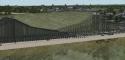
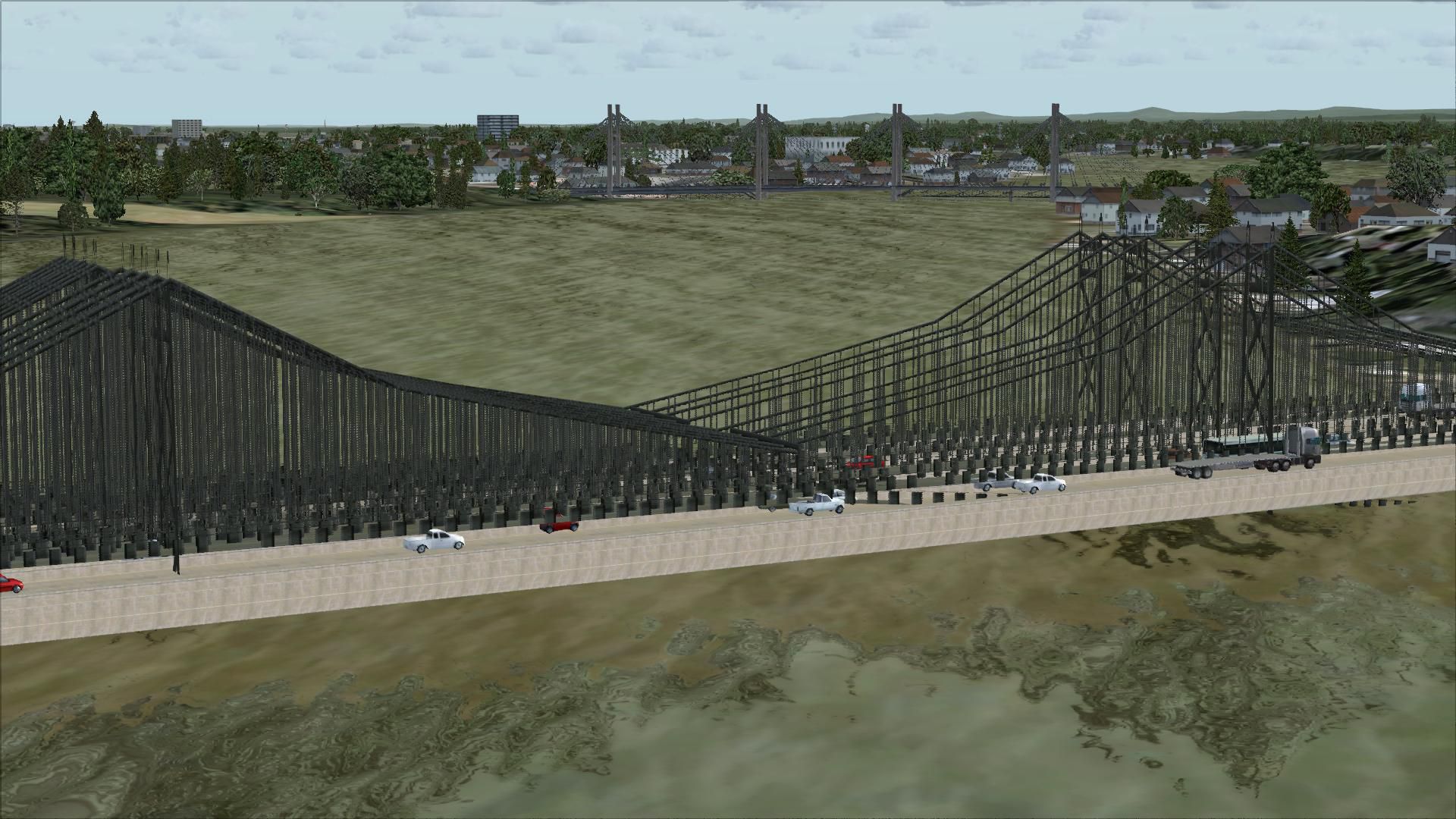
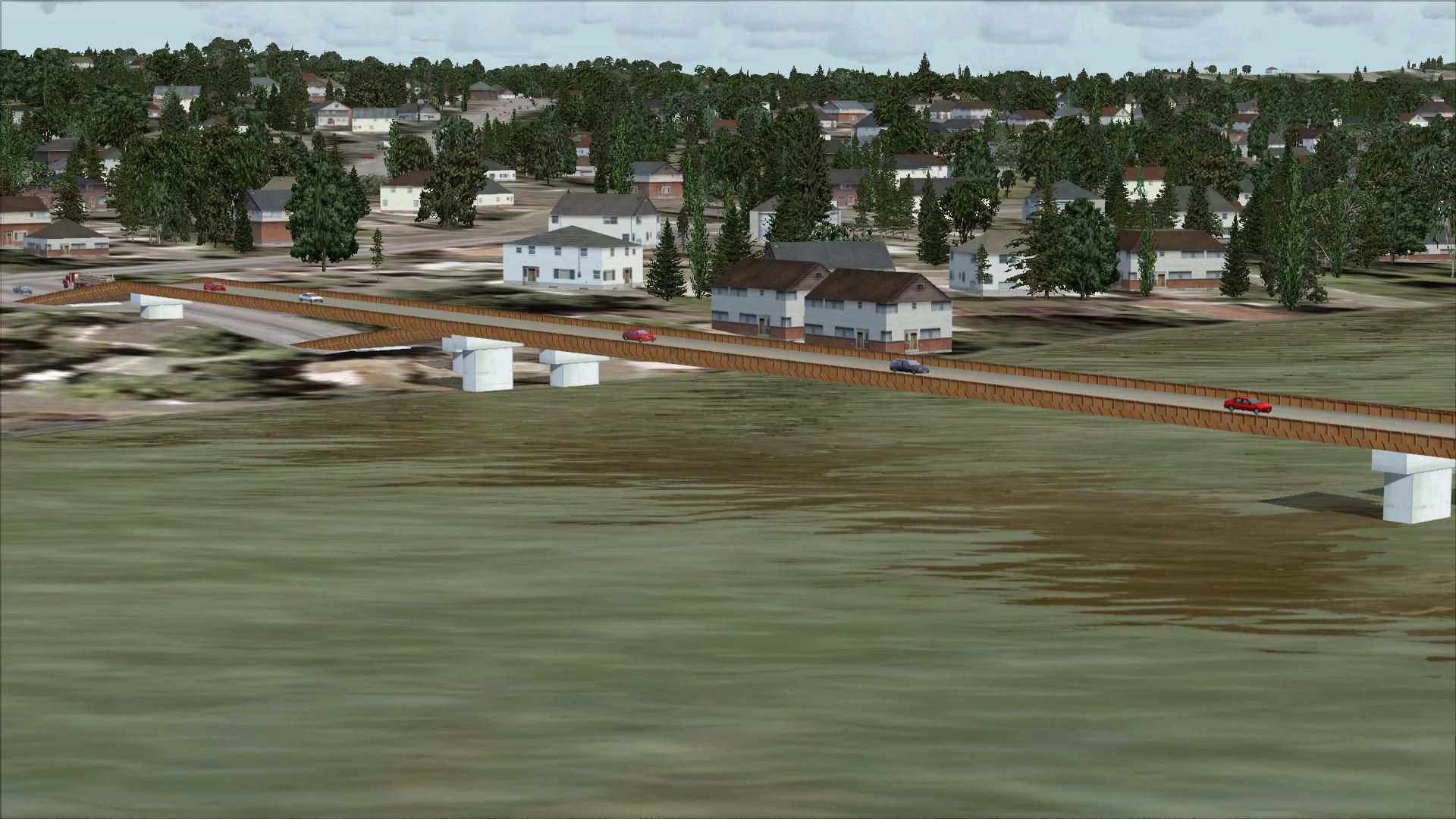
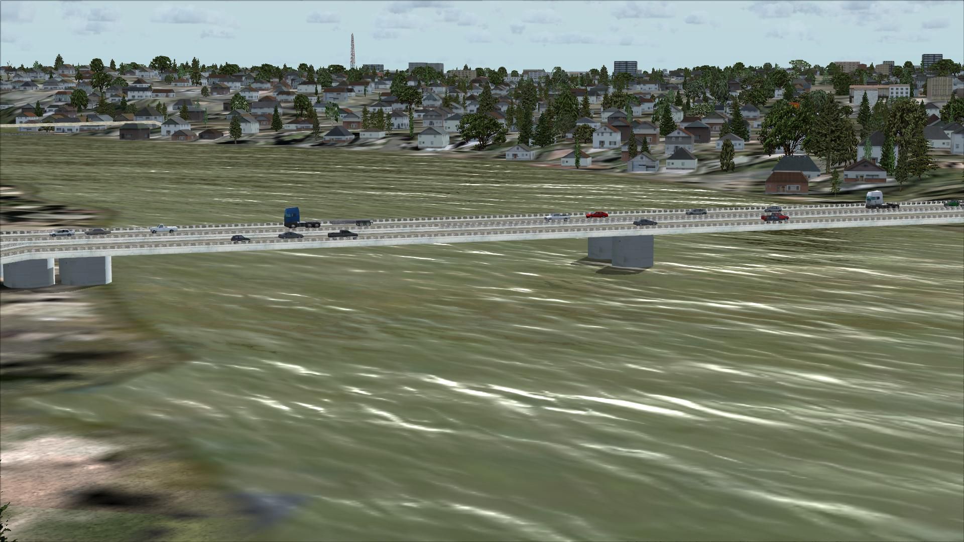
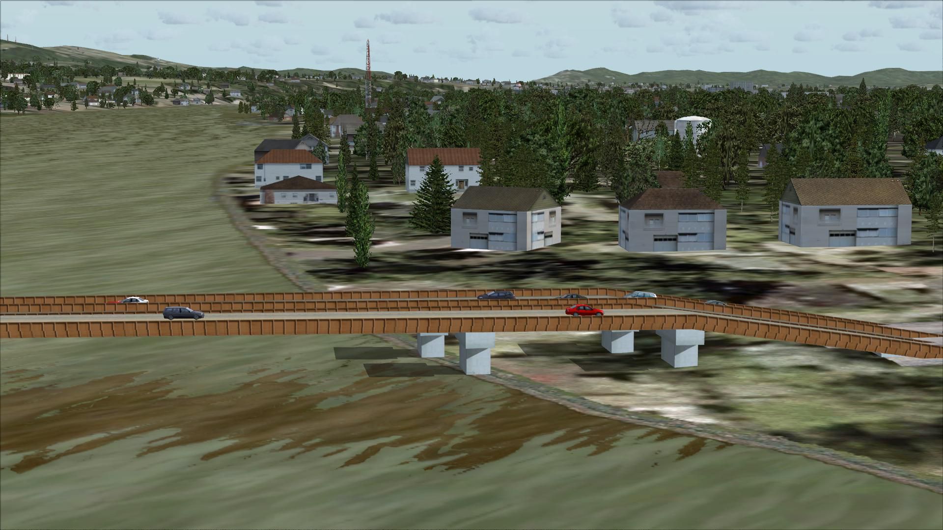
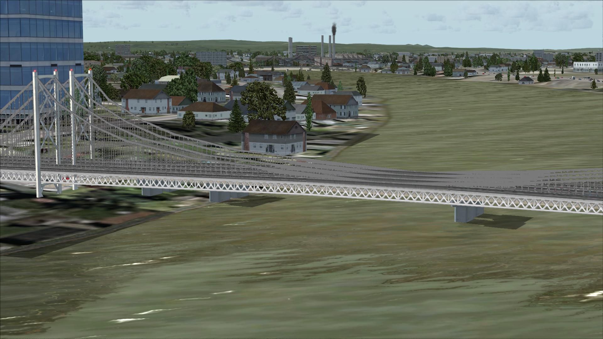
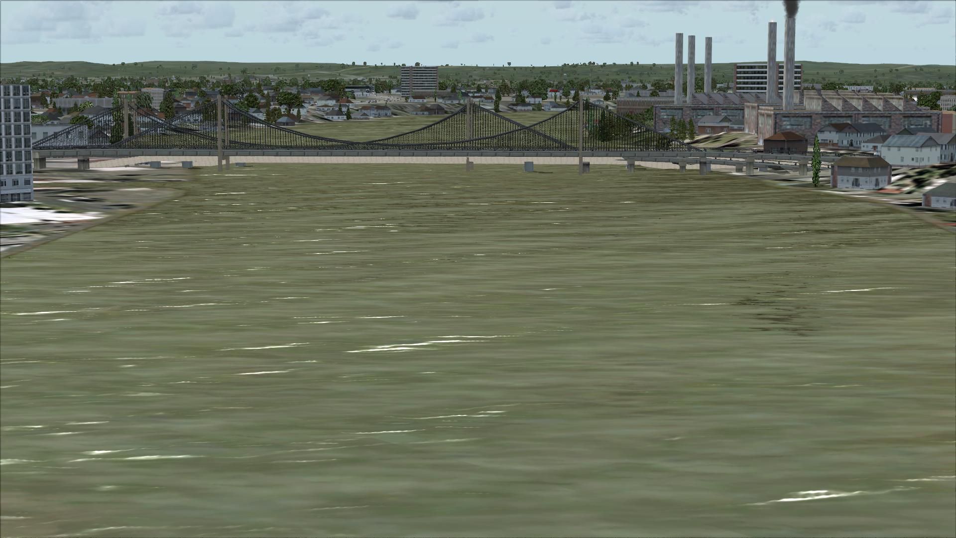
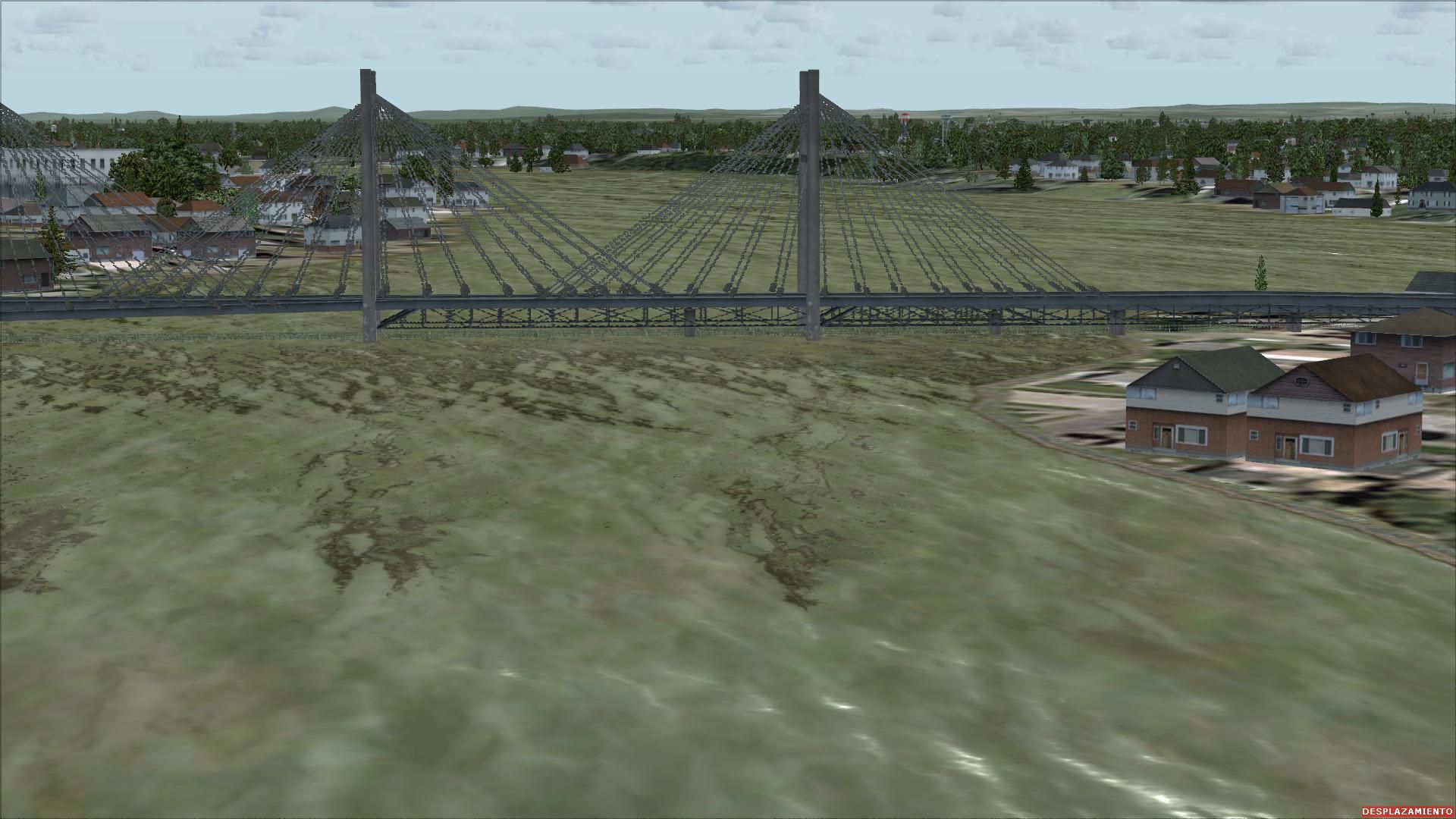
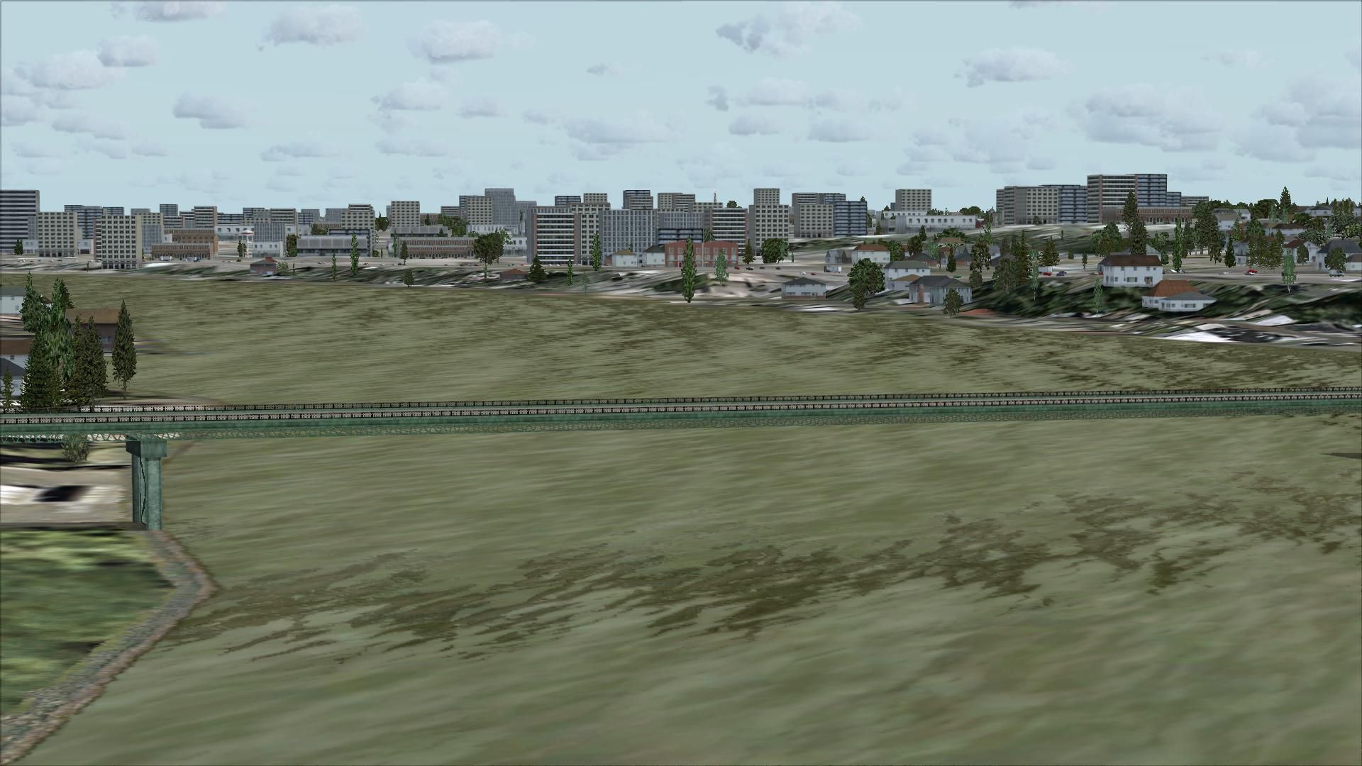
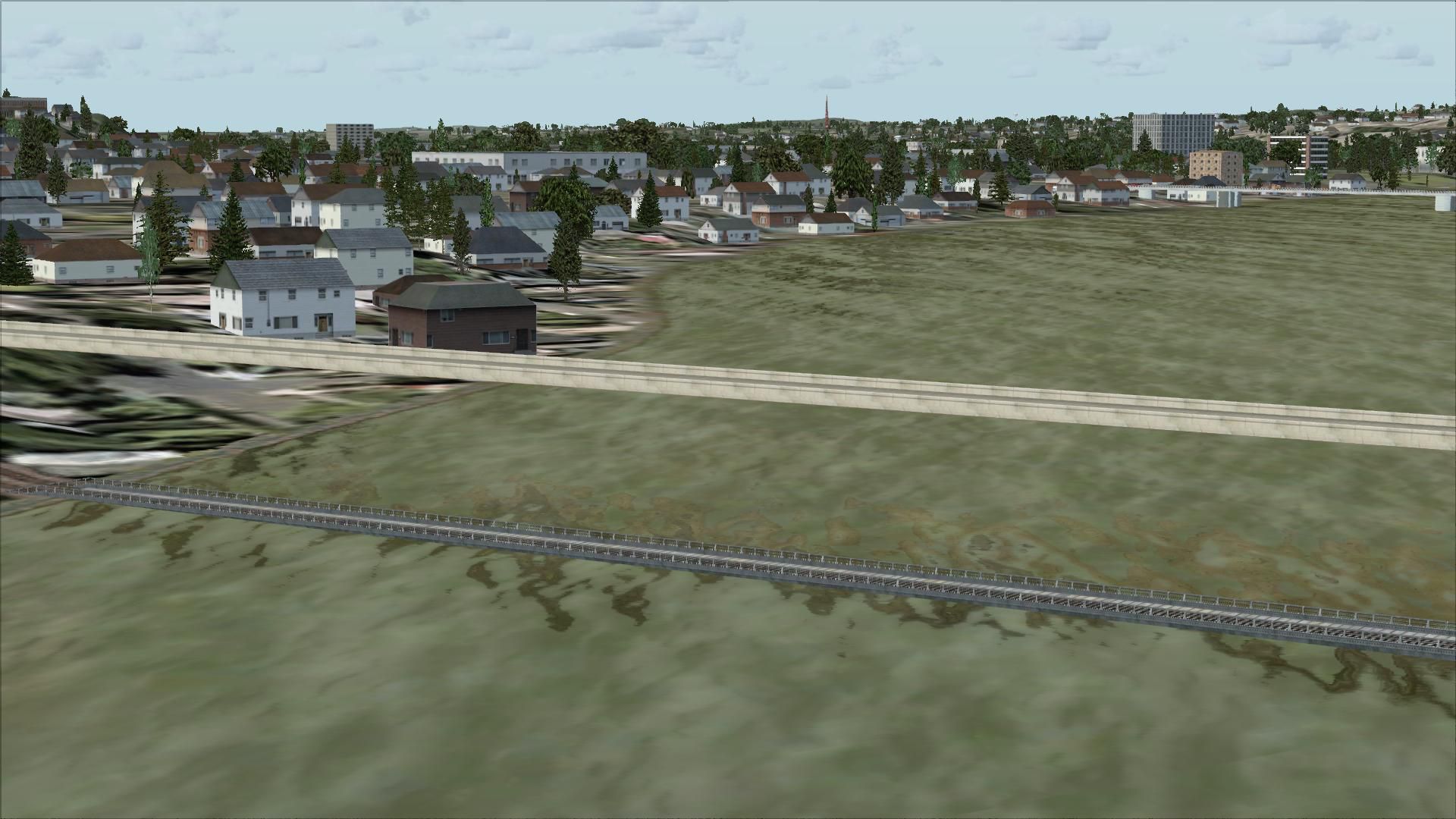
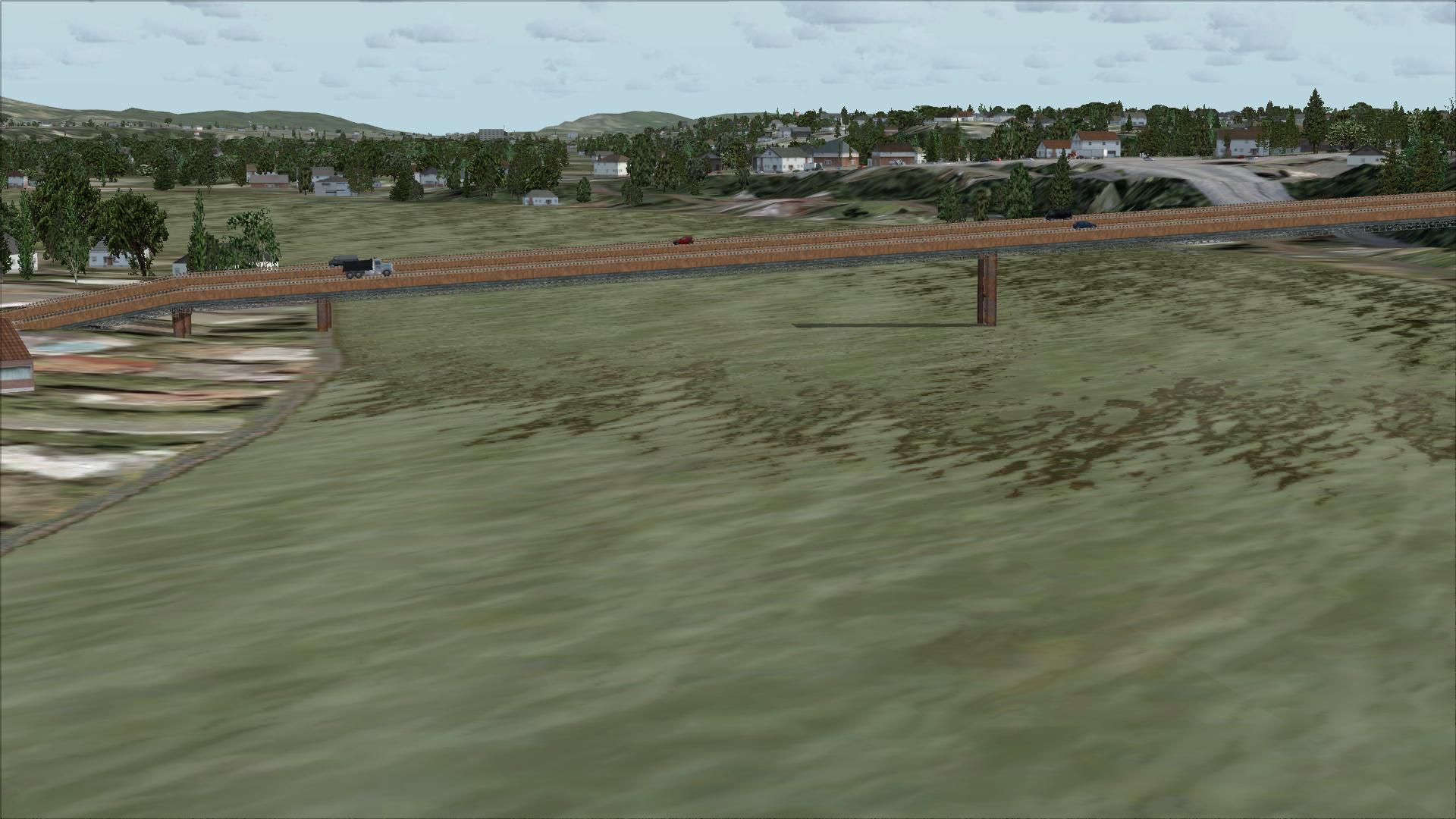
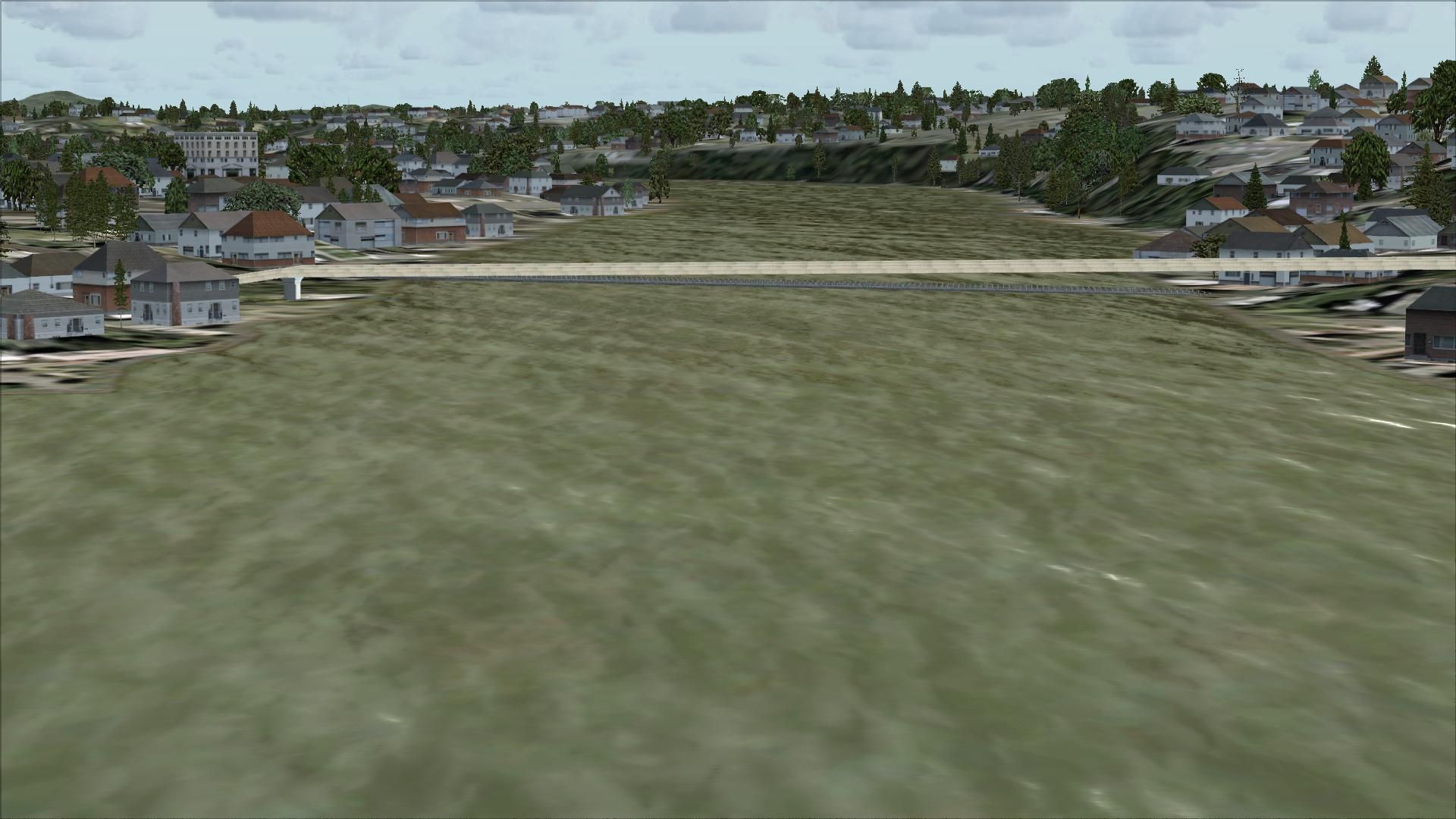
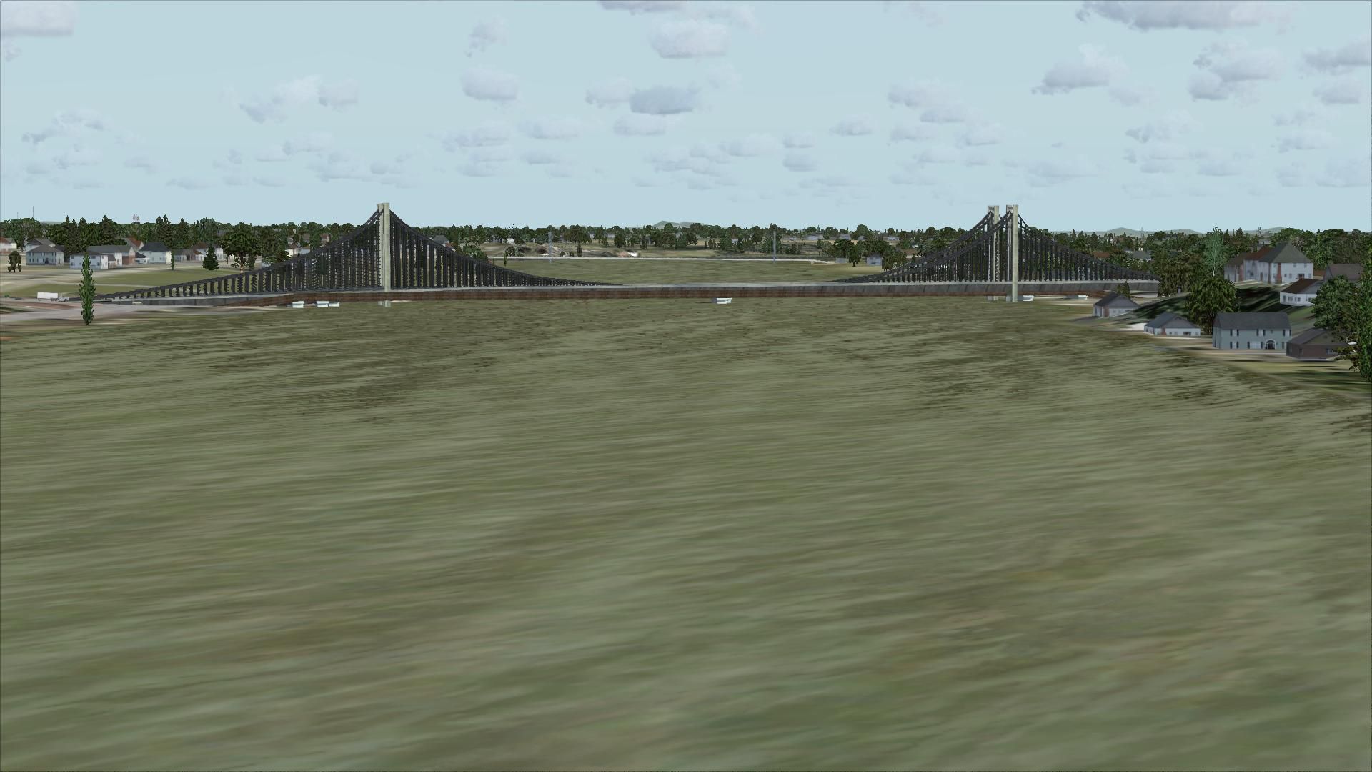
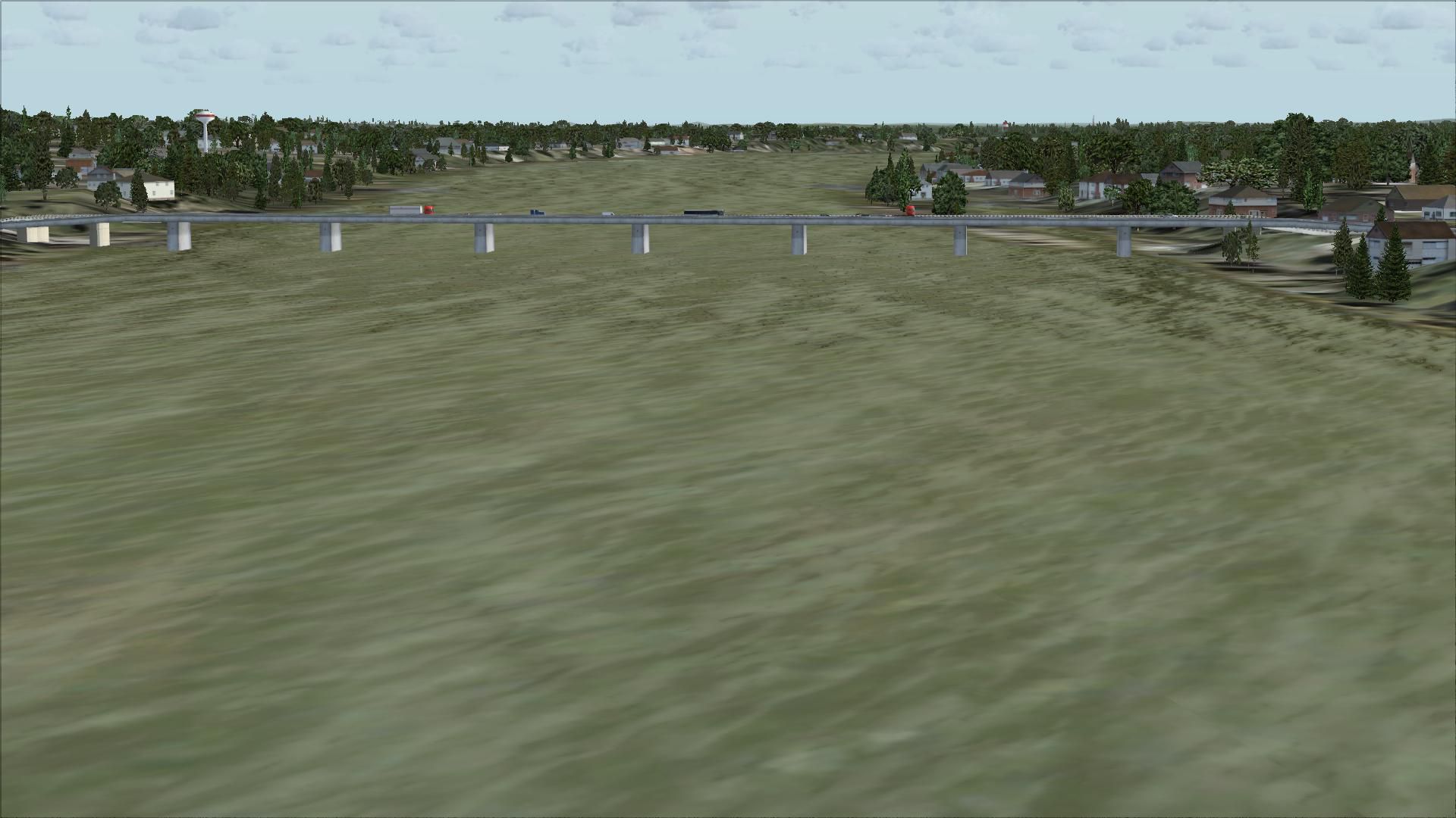
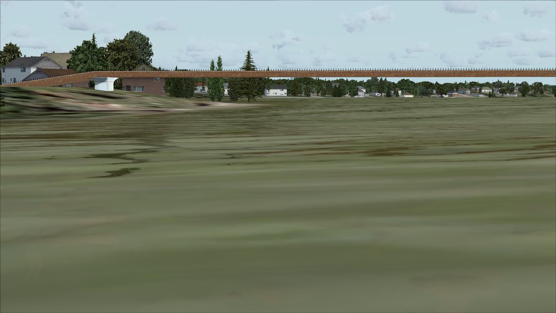
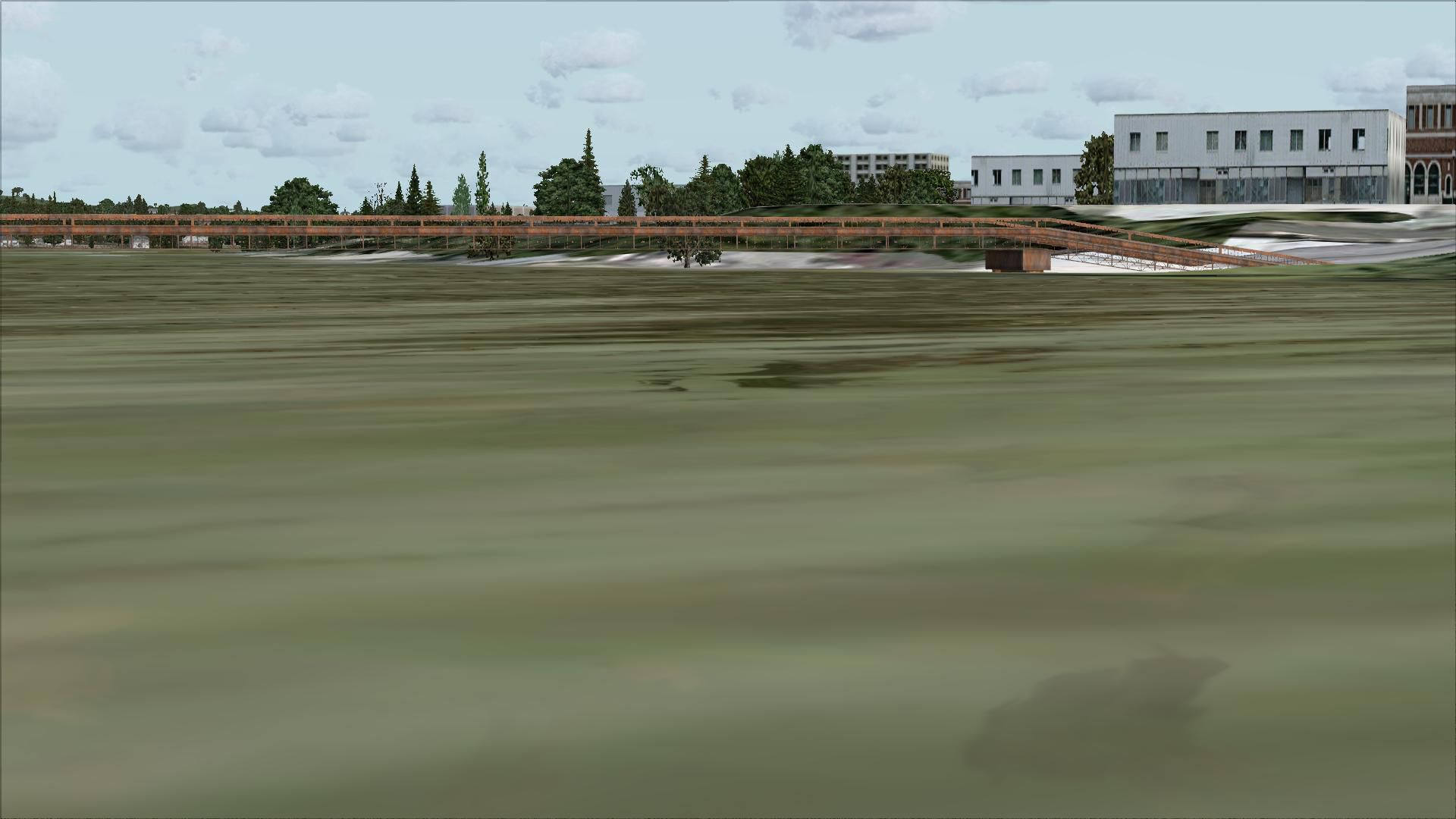
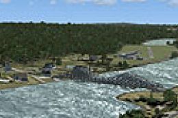
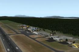
Connecticut River Bridges. This will place some more interesting bridges along the Connecticut River (CT). By Richard Kittredge.
I created this scenery using Flight1, Instant Scenery program which is not require to be installed on your system to view the scenery.
In order for the objects to be placed properly you should have the program from Flight1 called UT-FSX_Usa. This program greatly enhances the terrain
in FSX.
Installation: Simply place the Connecticut River Bridges.bgl file in your Addon senery/scenery folder.
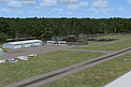
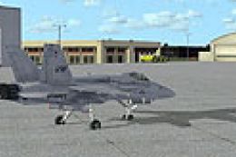
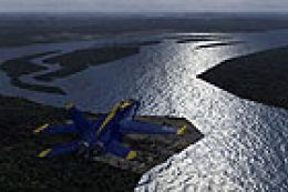
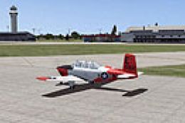
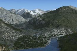
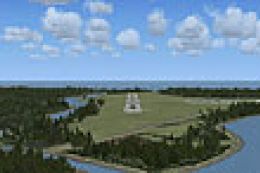
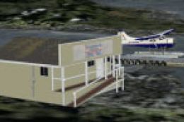
Images & Screenshots


Finding the Scenery
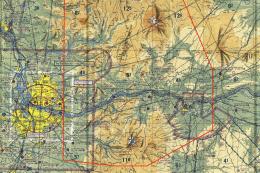
- FSX/Prepar3D Coordinates:
-
41.76580000,-72.67340000
Use the downloaded flight plan file by launching FSX/P3D, selecting "Load Flight Plan" in the flight planner, and choosing the .pln file. Your aircraft will be positioned directly at the add-on’s location. - Decimal Degrees (DD):
-
Latitude: 41.765800°
Longitude: -72.673400° - Degrees, Minutes, Seconds (DMS):
-
Latitude: 41° 45' 56.880" N
Longitude: 72° 40' 24.240" W
Map Location
The archive bridges.zip has 29 files and directories contained within it.
File Contents
This list displays the first 500 files in the package. If the package has more, you will need to download it to view them.
| Filename/Directory | File Date | File Size |
|---|---|---|
| Connecticut River Bridges.bgl | 07.22.07 | 1.70 kB |
| File_ID_FSX.diz.txt | 07.28.07 | 120 B |
| Readme.txt | 07.28.07 | 435 B |
| flyawaysimulation.txt | 10.29.13 | 959 B |
| Go to Fly Away Simulation.url | 01.22.16 | 52 B |
| Screenshots | 08.21.19 | 0 B |
| screen-1.jpg | 08.19.19 | 291.63 kB |
| screen-10.jpg | 08.19.19 | 157.47 kB |
| screen-11.jpg | 08.19.19 | 226.28 kB |
| screen-12.jpg | 08.19.19 | 219.49 kB |
| screen-13.jpg | 08.19.19 | 215.41 kB |
| screen-14.jpg | 08.19.19 | 148.46 kB |
| screen-15.jpg | 08.19.19 | 237.13 kB |
| screen-16.jpg | 08.19.19 | 214.98 kB |
| screen-17.jpg | 08.19.19 | 271.08 kB |
| screen-18.jpg | 08.19.19 | 287.12 kB |
| screen-19.jpg | 08.19.19 | 264.40 kB |
| screen-2.jpg | 08.19.19 | 229.74 kB |
| screen-20.jpg | 08.19.19 | 272.52 kB |
| screen-21.jpg | 08.19.19 | 204.17 kB |
| screen-22.jpg | 08.19.19 | 224.14 kB |
| screen-23.jpg | 08.19.19 | 243.92 kB |
| screen-3.jpg | 08.19.19 | 261.27 kB |
| screen-4.jpg | 08.19.19 | 297.14 kB |
| screen-5.jpg | 08.19.19 | 229.22 kB |
| screen-6.jpg | 08.19.19 | 178.60 kB |
| screen-7.jpg | 08.19.19 | 180.78 kB |
| screen-8.jpg | 08.19.19 | 185.92 kB |
| screen-9.jpg | 08.19.19 | 195.49 kB |
Installation Instructions
Most of the freeware add-on aircraft and scenery packages in our file library come with easy installation instructions which you can read above in the file description. For further installation help, please see our Flight School for our full range of tutorials or view the README file contained within the download. If in doubt, you may also ask a question or view existing answers in our dedicated Q&A forum.

0 comments
Leave a Response