 FSX Scenery
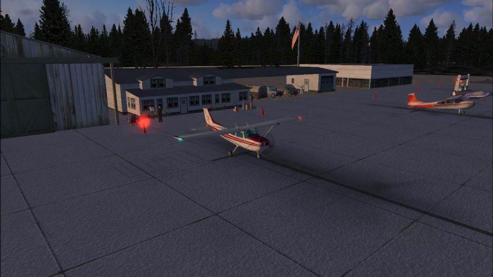
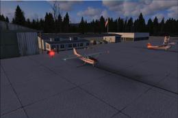
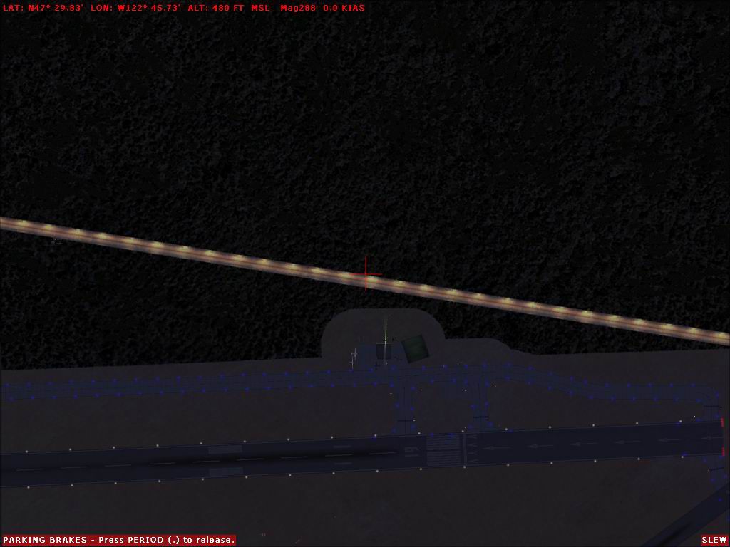
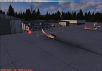
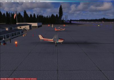
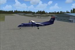
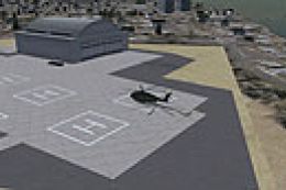
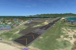
WA Bremerton National Airport
Bremerton National Airport (KPWT), Washington (WA). Includes a company FBO, c…
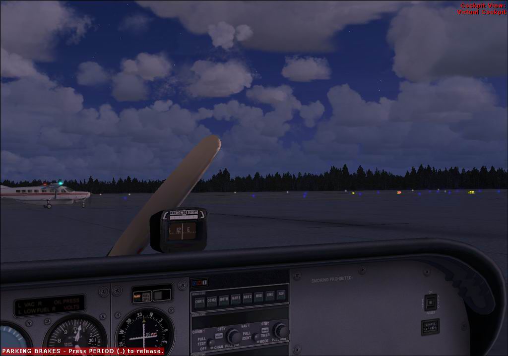
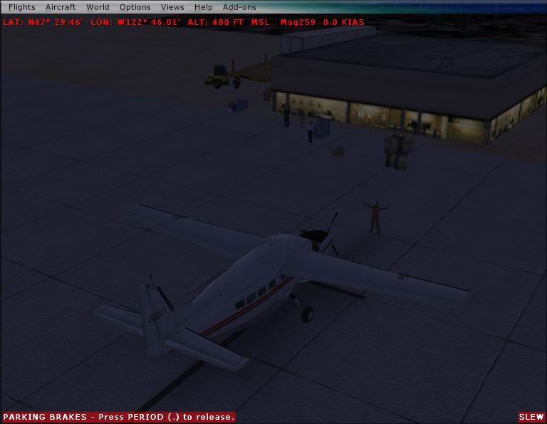
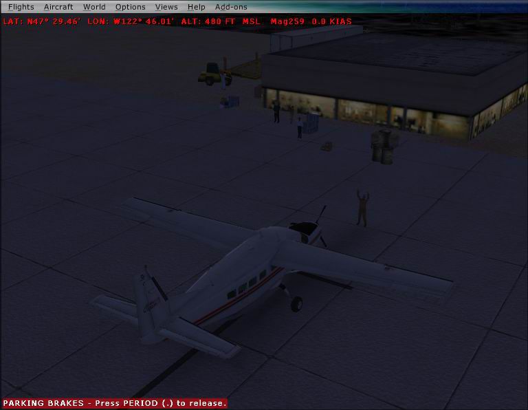
Bremerton National Airport (KPWT) scenery brings Washington’s Kitsap Peninsula field to life in FSX with custom buildings, detailed hangars, realistic ramp parking, and enhanced airside layout for smoother VFR and GA operations. Designed to blend cleanly with the default terrain, it adds a more convincing sense of place from approach to shutdown.
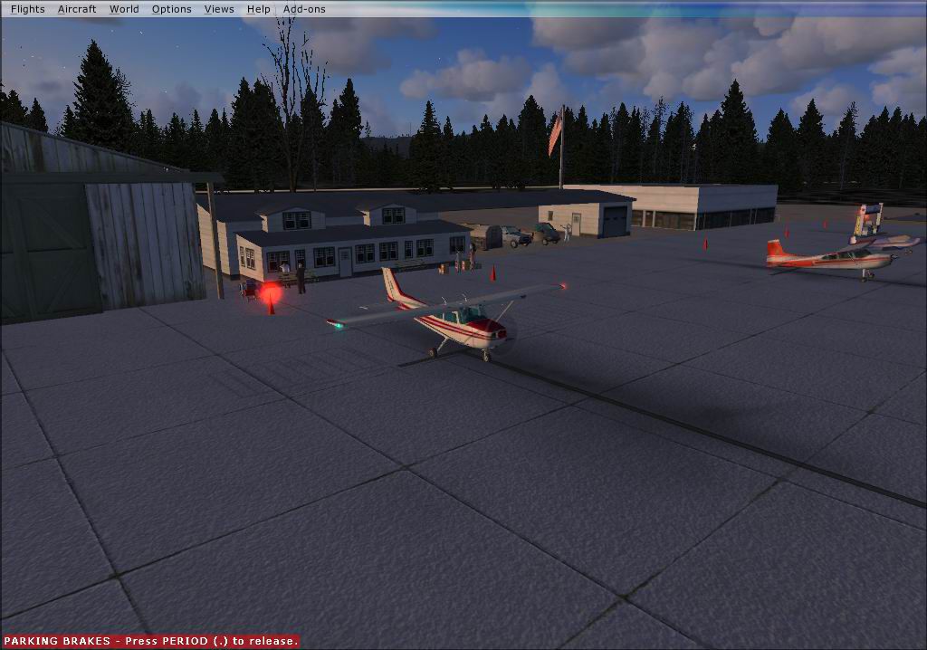

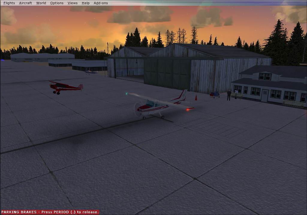
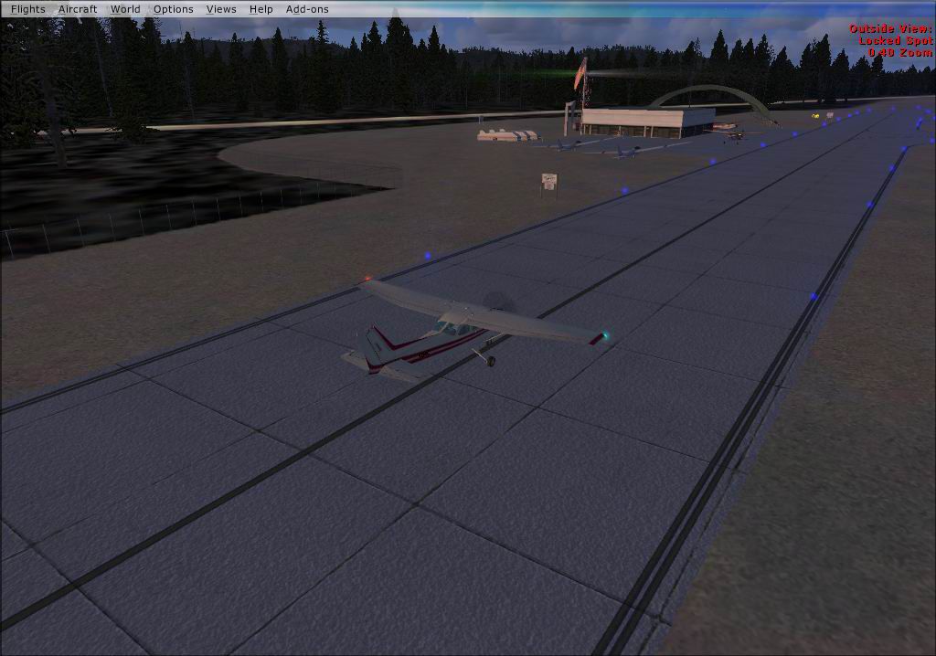
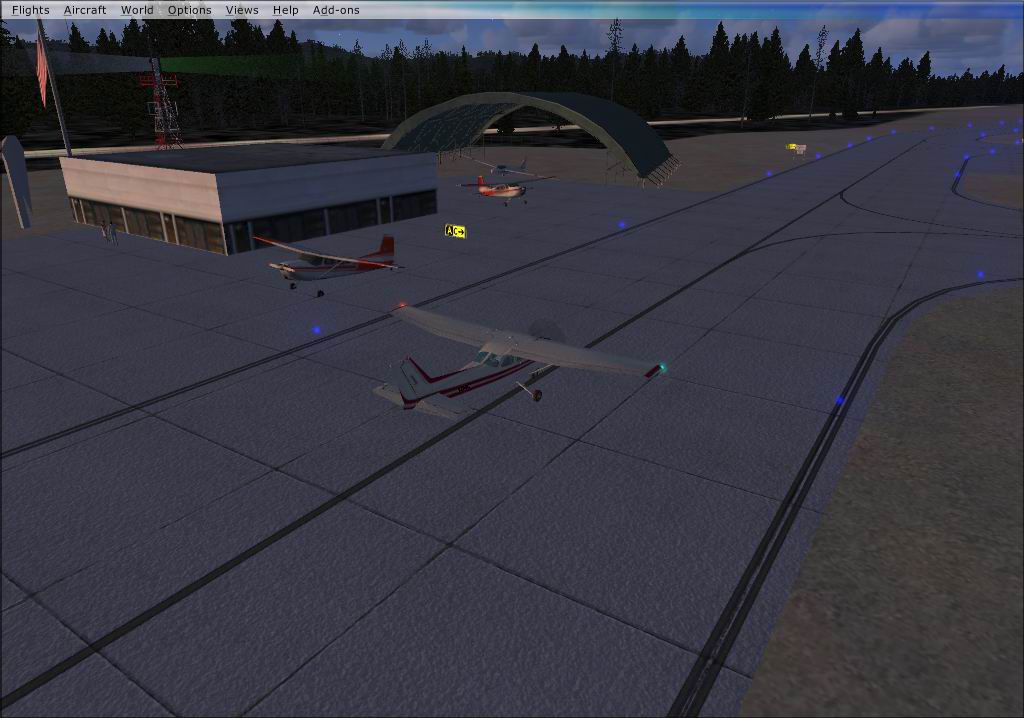
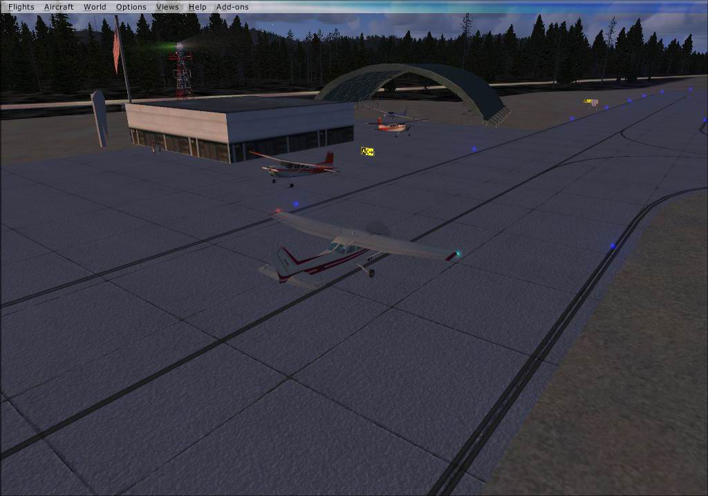


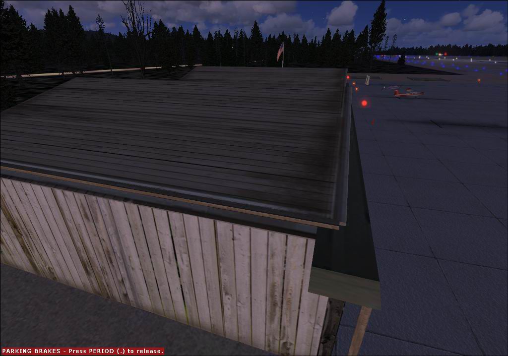
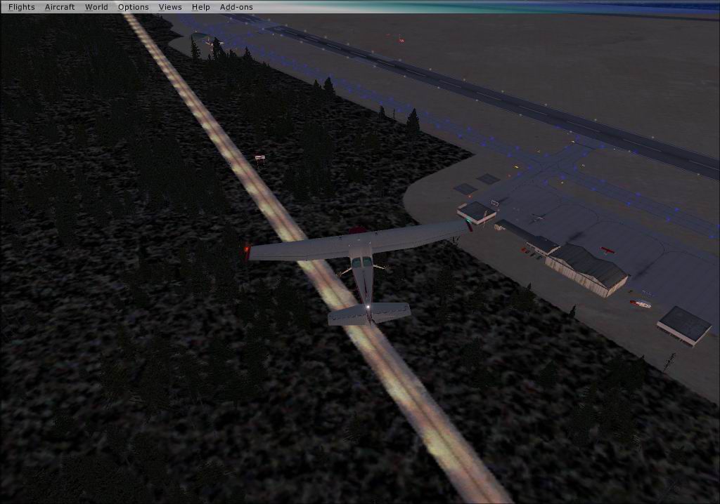
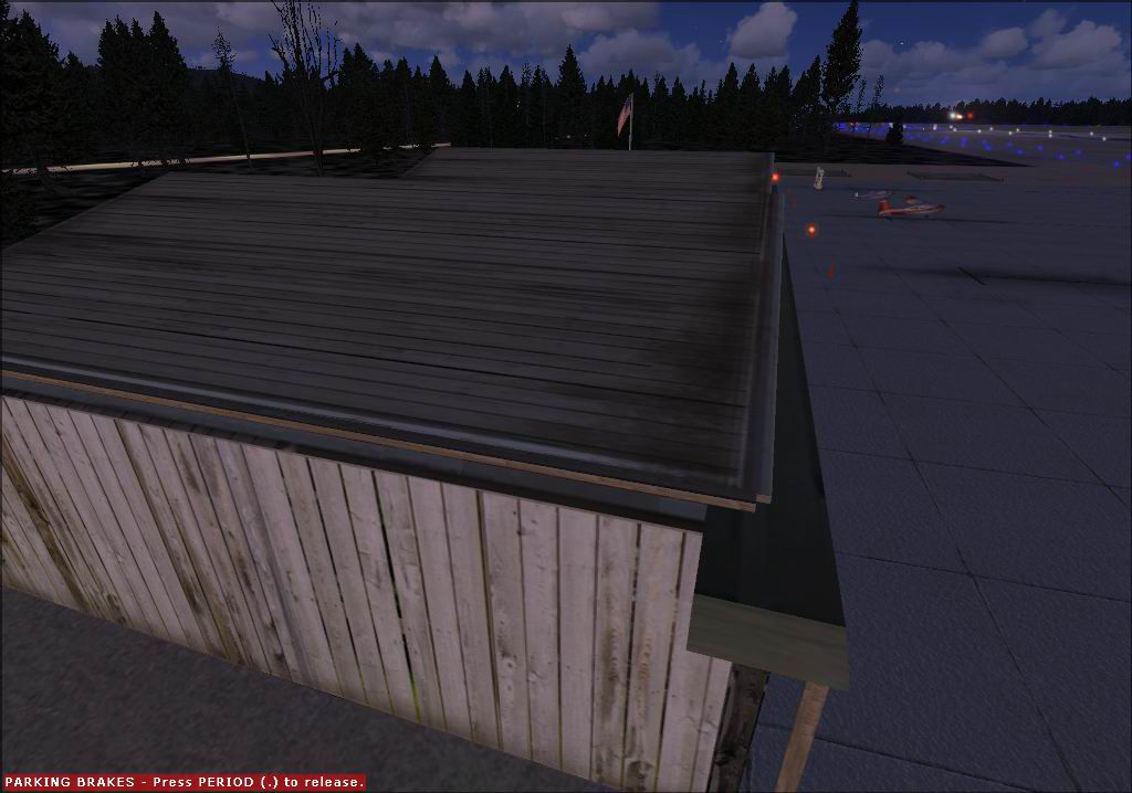

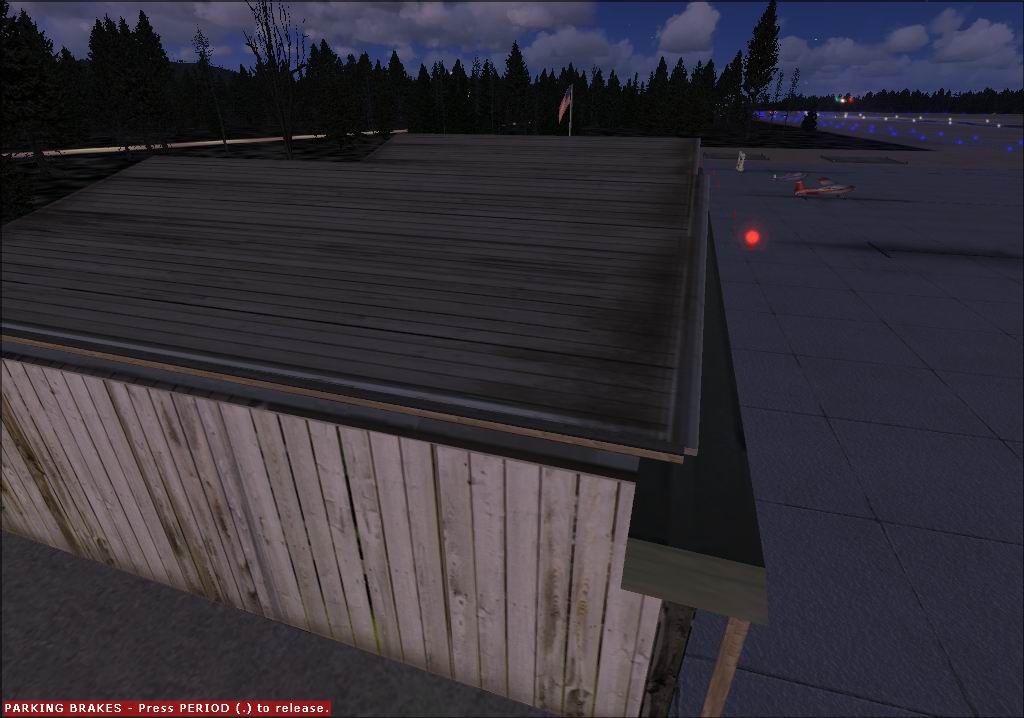
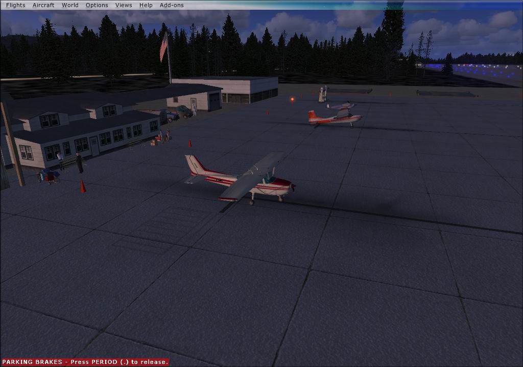
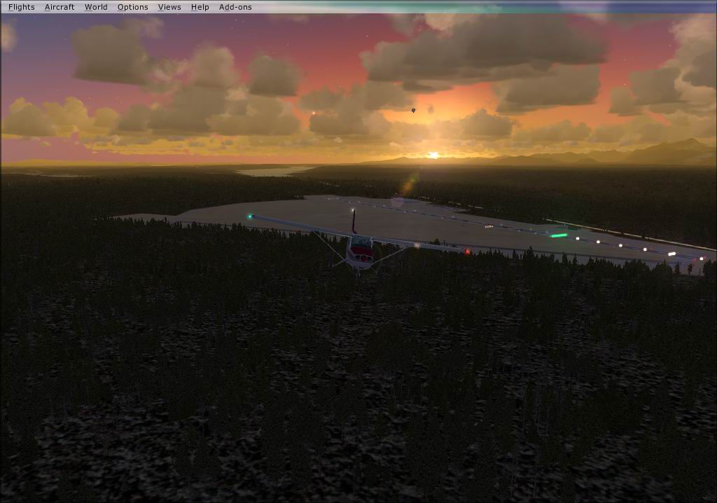
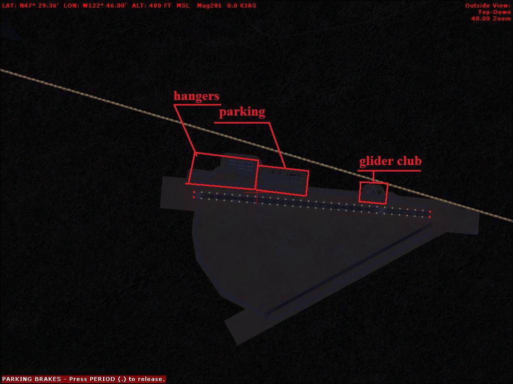
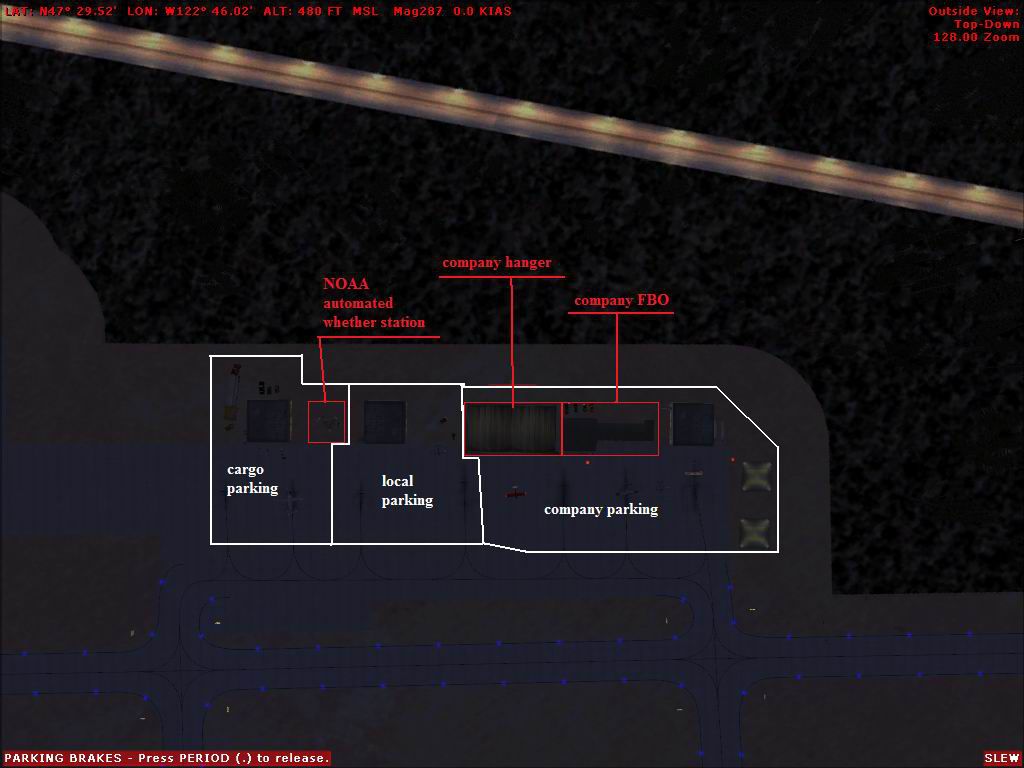
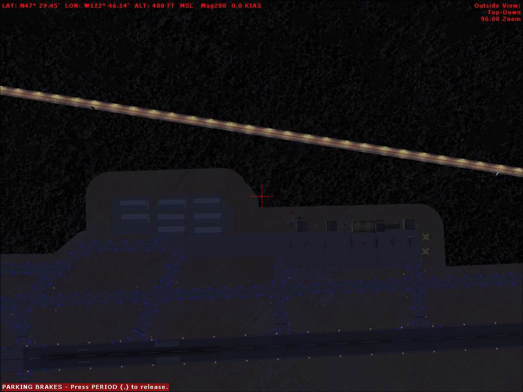
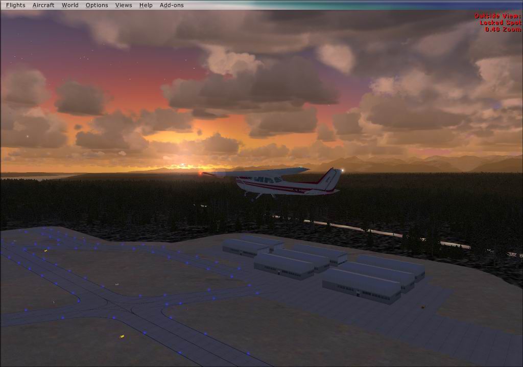
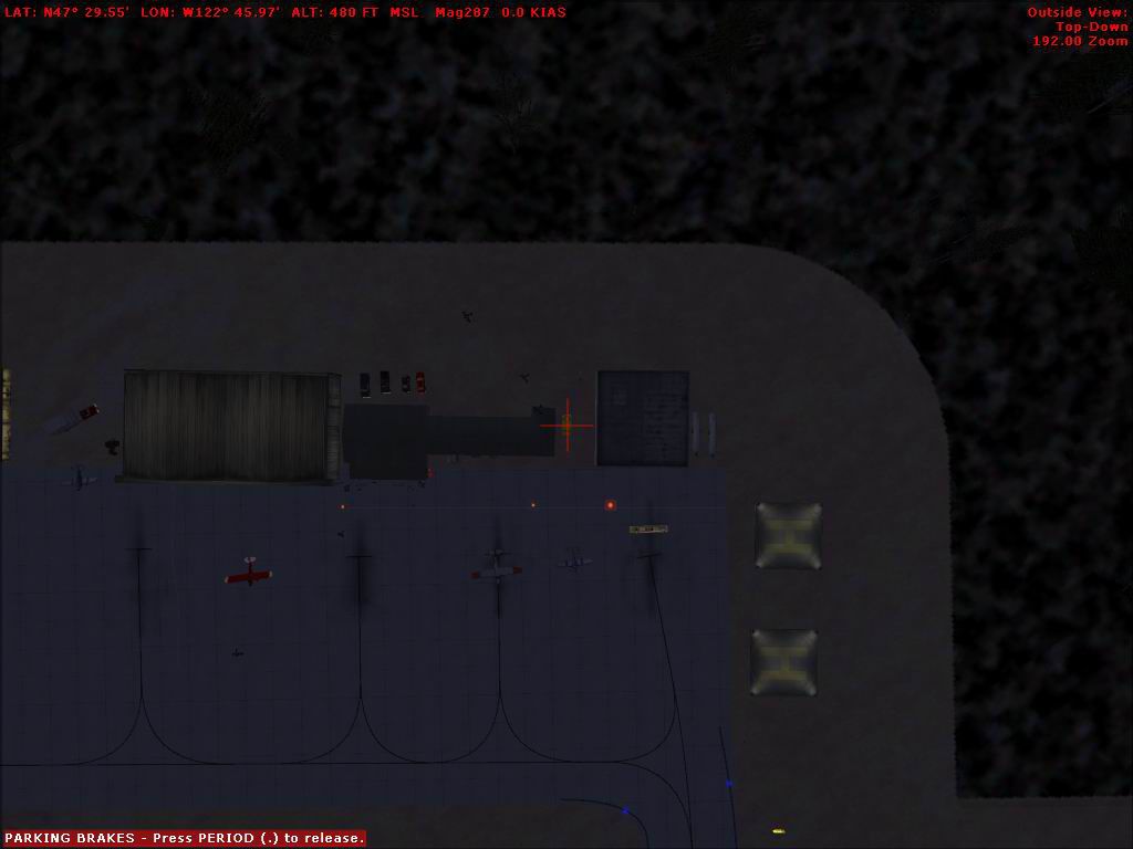
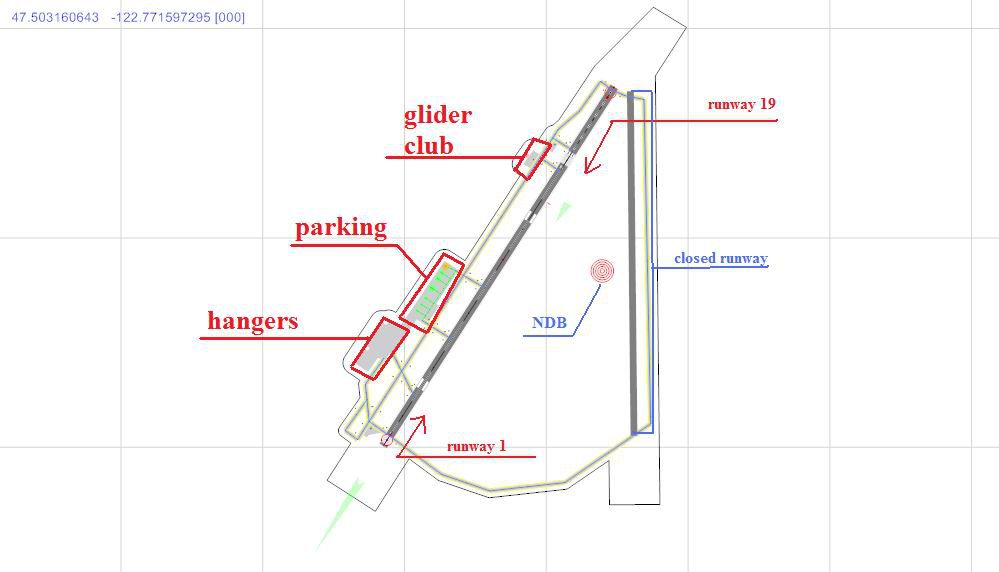

Bremerton National Airport (KPWT), Washington (WA). Features buildings, hangar, parking and more.
Bremerton National Airport Scenery.
Bremerton National Airport Scenery.
Free for all simmers · 3.06 MB · Scanned clean
Download speed: Free tier is capped at 0.5 Mbps. PRO members download at full line speed.
FSX\Addon Scenery\ containing scenery and texture sub-folders.readme.txt or README file. It tells you exactly where files go, what dependencies are needed, and any quirks specific to this add-on.Use these coordinates to fly directly to this location once the mod is installed.
47.49020000,-122.76400000
Launch FSX or Prepar3D and use Flights → Load to open the downloaded .pln file. Your aircraft will be positioned at this location.
The archive kpwtscen.zip has 36 files and directories contained within it.
This list displays the first 500 files in the package. If the package has more, you will need to download it to view them.
| Filename/Directory | File Date | File Size |
|---|---|---|
| Airport information.wps | 02.15.08 | 108.50 kB |
| ILS approch.pdf | 02.15.08 | 356.66 kB |
| KPWT chart.JPG | 02.16.08 | 39.95 kB |
| large chart.JPG | 02.16.08 | 72.43 kB |
| NDB runway 1.pdf | 02.15.08 | 290.11 kB |
| parking chart.JPG | 02.16.08 | 71.11 kB |
| Rnav runway 1.pdf | 02.15.08 | 252.95 kB |
| Rnav runway 19.pdf | 02.15.08 | 322.36 kB |
| read me.wps | 02.15.08 | 19.50 kB |
| KPWT FBO.bgl | 02.15.08 | 7.82 kB |
| 2008-2-15_20-38-19-55.JPG | 02.16.08 | 95.99 kB |
| 2008-2-15_20-38-24-525.JPG | 02.16.08 | 90.51 kB |
| 2008-2-15_20-38-9-151.JPG | 02.16.08 | 89.15 kB |
| 2008-2-15_20-40-26-196.JPG | 02.16.08 | 87.78 kB |
| 2008-2-15_20-40-45-507.JPG | 02.16.08 | 86.66 kB |
| 2008-2-15_20-40-48-25.JPG | 02.16.08 | 87.16 kB |
| 2008-2-15_20-43-57-95.JPG | 02.16.08 | 59.84 kB |
| 2008-2-15_20-45-0-250.JPG | 02.16.08 | 84.46 kB |
| 2008-2-15_20-45-52-559.JPG | 02.16.08 | 75.69 kB |
| 2008-2-15_20-51-43-907.JPG | 02.16.08 | 78.62 kB |
| 2008-2-15_20-55-10-659.JPG | 02.16.08 | 83.18 kB |
| 2008-2-15_20-55-6-110.JPG | 02.16.08 | 83.00 kB |
| 2008-2-15_20-55-7-635.JPG | 02.16.08 | 83.01 kB |
| 2008-2-15_20-55-8-878.JPG | 02.16.08 | 83.09 kB |
| 2008-2-15_20-55-9-483.JPG | 02.16.08 | 83.45 kB |
| 2008-2-15_20-55-9-899.JPG | 02.16.08 | 83.20 kB |
| 2008-2-15_20-56-52-422.JPG | 02.16.08 | 57.12 kB |
| 2008-2-15_21-18-37-211.JPG | 02.16.08 | 36.28 kB |
| 2008-2-15_21-18-40-348.JPG | 02.16.08 | 35.88 kB |
| 2008-2-15_21-23-14-198.JPG | 02.16.08 | 34.31 kB |
| 2008-2-15_21-23-16-394.JPG | 02.16.08 | 34.25 kB |
| 2008-2-15_21-24-1-347.JPG | 02.16.08 | 68.54 kB |
| 2008-2-15_21-24-17-89.JPG | 02.16.08 | 75.10 kB |
| 2008-2-15_21-24-53-308.JPG | 02.16.08 | 43.37 kB |
| flyawaysimulation.txt | 10.29.13 | 959 B |
| Go to Fly Away Simulation.url | 01.22.16 | 52 B |
More FSX & P3D add-ons hand-picked based on this download.
FSX Scenery
Bremerton National Airport (KPWT), Washington (WA). Includes a company FBO, c…
 FSX Scenery
Bremerton National Airport (KPWT), Washington (WA). Patch for Mark Smith's FS…
 FSX Scenery
Reagan National Airport KDCA 2011. This is a complete revamp of the Reagan Na…
 FSX Scenery
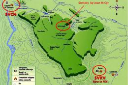
This package includes Canaima Airport-SVCN, Angel Falls (created by Jean St-C…
 FSX Scenery
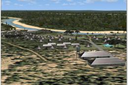
Kruger National Park, South Africa. To give true credit to the real greatness…
 FSX Scenery
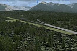
Scenery Banff National Park Airstrip (CYBA), Canada. Runway moved to correct …
 FSX Scenery
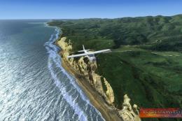
Scenery Abel Tasman National Park photoreal scenery, New Zealand. This freewa…
 FSX Scenery
Princess Juliana International Airport (TNCM) in Saint Marteen, Netherlands A…
Be the first to leave a comment on this download.
Be the first to share your thoughts on this download.