 FSX Scenery
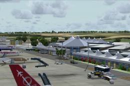
Princess Juliana International Airport
Princess Juliana International Airport (TNCM) in Saint Marteen, Netherlands A…
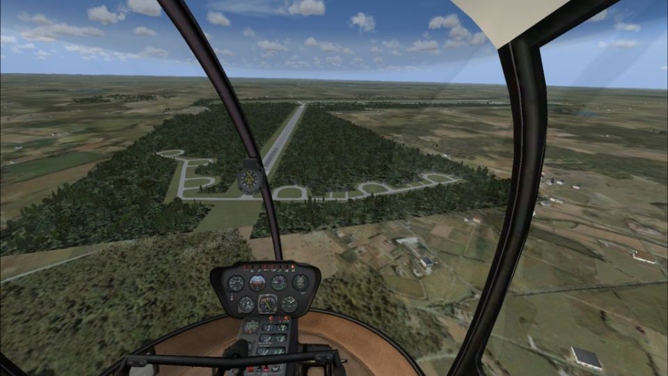
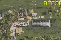
Templin Airport (EDUT) scenery recreates the historic Brandenburg airfield with an accurately resized 3,500 x 60 meter runway and updated airport layout for authentic operations. Built for FSX, it highlights the site’s Luftwaffe and Soviet-era heritage, bringing a distinctive former GDR base to life for regional and military-style flying.
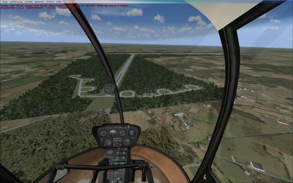
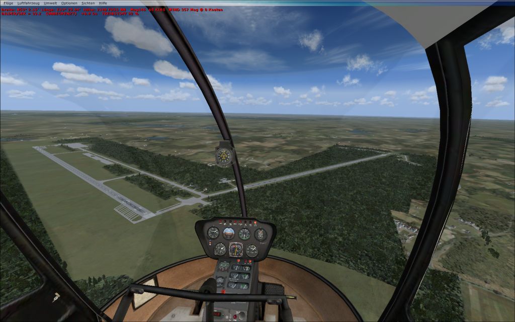
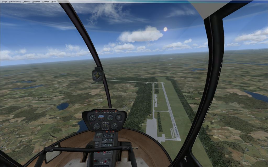
Templin Airport, Brandenburg, Germany (EDUT). By Guido Weis.
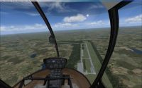
Templin Airport Scenery.
INSTALLATION:
Put all the files in Addon Scenery >scenery folder.
Ready to fly!
Description:
The Airport "Templin" fist were used by the German "Luftwaffe". After the WW2 the Russian Airforce become home there. This Airport was the biggest Airport in the GDR. I have resized the Runway to orginal 3500 x 60 meters. If you love my work you can Donate.
This archive file is provided as FREEWARE and can be used in any non-profit making package. The archive can be freely distributed but must remain complete and unaltered. Use all files at your own risk.The author of this package is not liable for any problems caused by these files.

Templin Airport Scenery.
Free for all simmers · 286.46 KB · Scanned clean
Download speed: Free tier is capped at 0.5 Mbps. PRO members download at full line speed.
FSX\Addon Scenery\ containing scenery and texture sub-folders.readme.txt or README file. It tells you exactly where files go, what dependencies are needed, and any quirks specific to this add-on.Use these coordinates to fly directly to this location once the mod is installed.
53.01830000,13.38000000
Launch FSX or Prepar3D and use Flights → Load to open the downloaded .pln file. Your aircraft will be positioned at this location.
The archive edut_tem.zip has 8 files and directories contained within it.
This list displays the first 500 files in the package. If the package has more, you will need to download it to view them.
| Filename/Directory | File Date | File Size |
|---|---|---|
| EDUT_templin_gros_dolln_CVX.bgl | 04.16.09 | 3.60 kB |
| readme_EDUT.txt | 04.16.09 | 809 B |
| edut1.jpg | 04.16.09 | 85.82 kB |
| edut2.jpg | 04.16.09 | 101.34 kB |
| edut3.jpg | 04.16.09 | 91.73 kB |
| EDUT_templin_gros_dolln.BGL | 04.16.09 | 14.46 kB |
| flyawaysimulation.txt | 10.29.13 | 959 B |
| Go to Fly Away Simulation.url | 01.22.16 | 52 B |
More FSX & P3D add-ons hand-picked based on this download.
FSX Scenery
Princess Juliana International Airport (TNCM) in Saint Marteen, Netherlands A…
 FSX Scenery
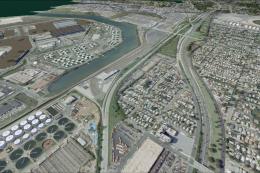
Los Angeles Airport Scenery v3, California (CA). This photoreal scenery is a …
 FSX Scenery
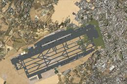
Barbados International Airport (TBPB). Grantley Adams International Airport f…
 FSX Scenery
Paris Charles de Gaulle Airport (CDG, LFPG), France. The entire airport has b…
 FSX Scenery
John F. Kennedy Airport (KJFK), New York, NYU. This is a photoreal scenery re…
 FSX Scenery
Dubai International Airport (OMDB), Dubai. Includes a new passenger terminal …
 FSX Scenery
Soekarno-Hatta International Airport (WIII), Jakarta, Indonesia. An update to…
 FSX Scenery
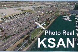
San Diego International Airport, California (CA), USA. This photoreal scenery…
Be the first to leave a comment on this download.
Be the first to share your thoughts on this download.