FSX Galveston Oil Rigs Scenery
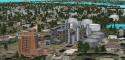
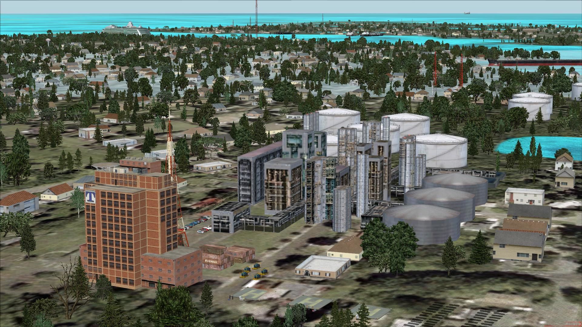
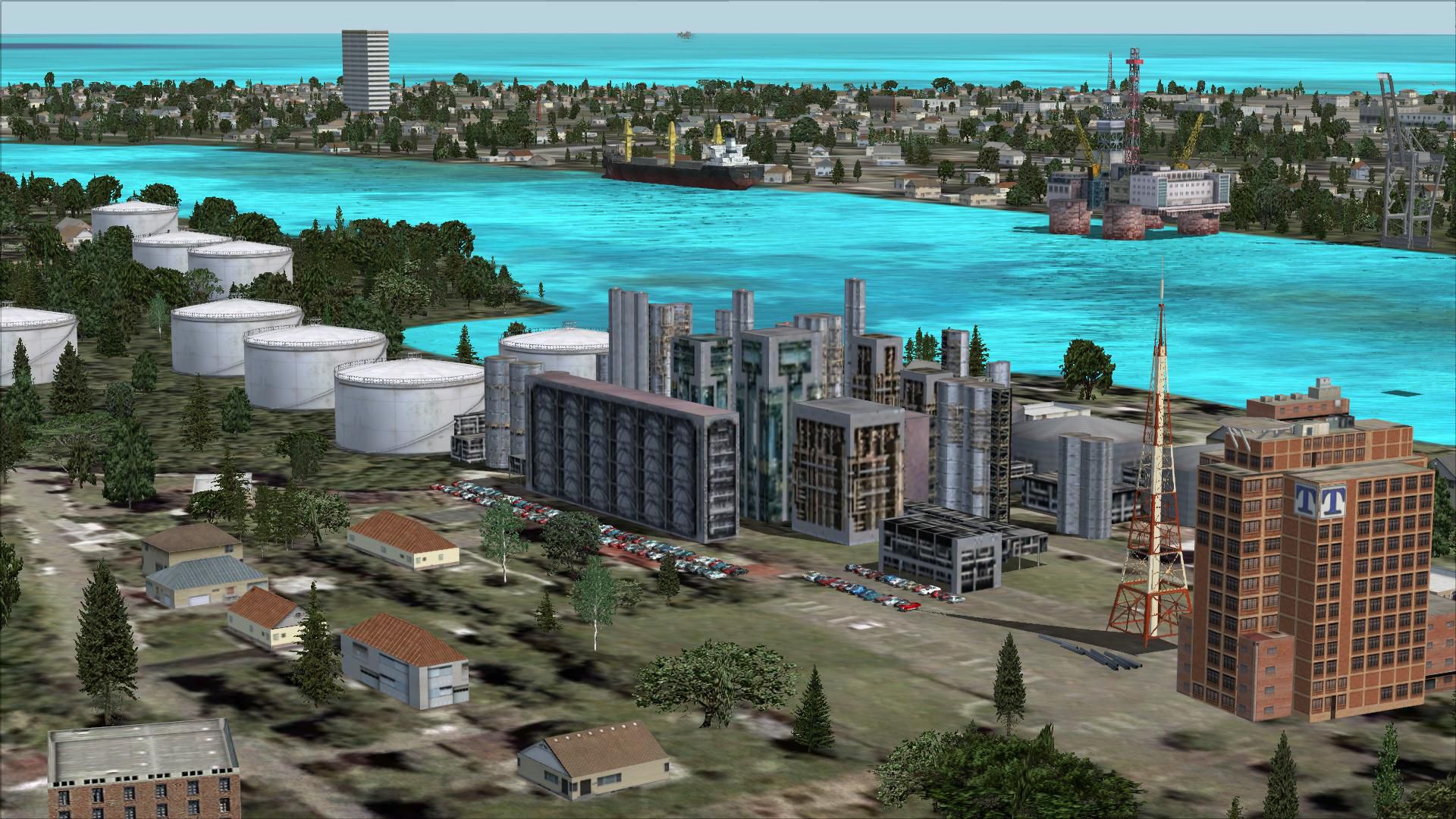
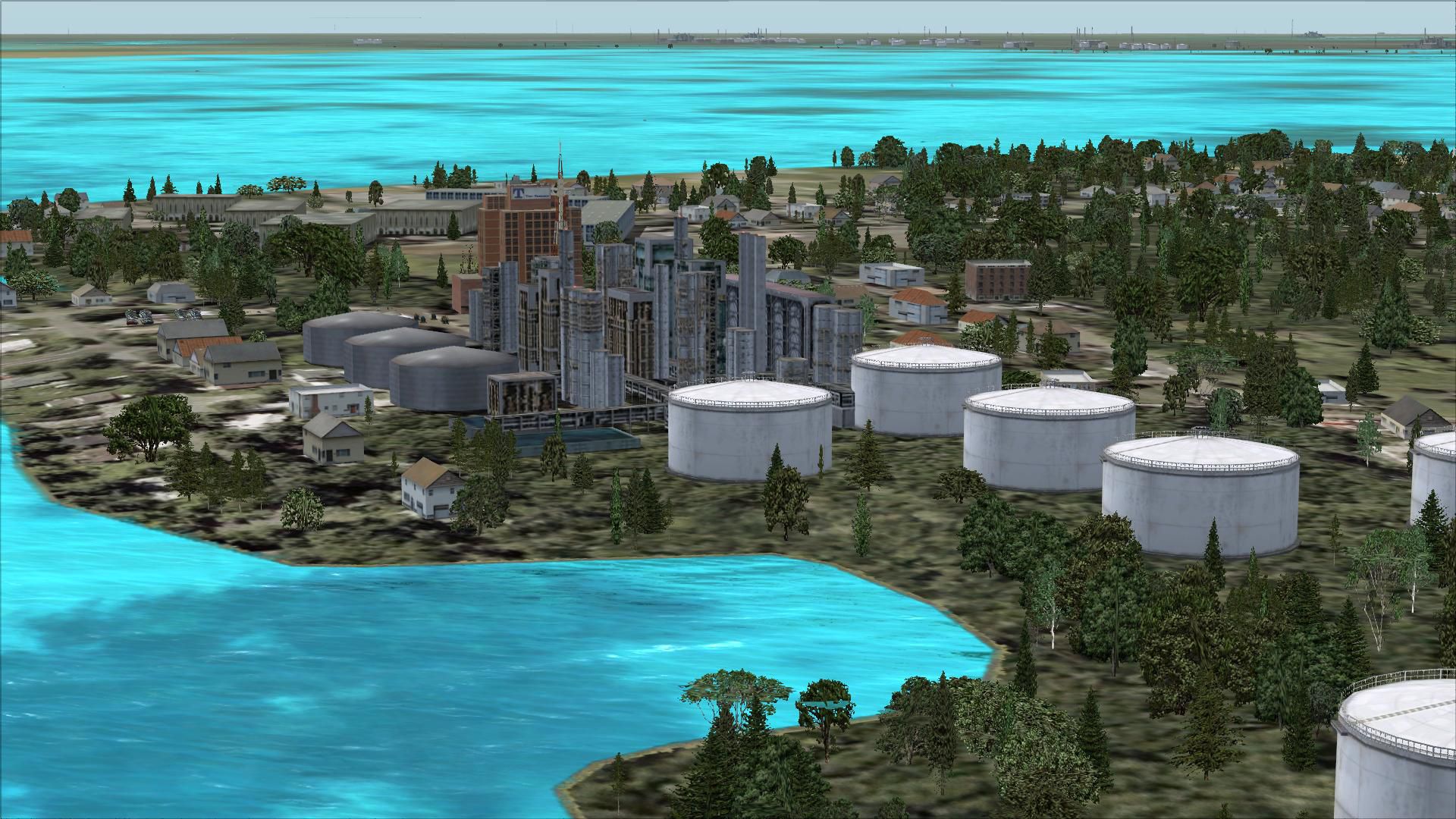
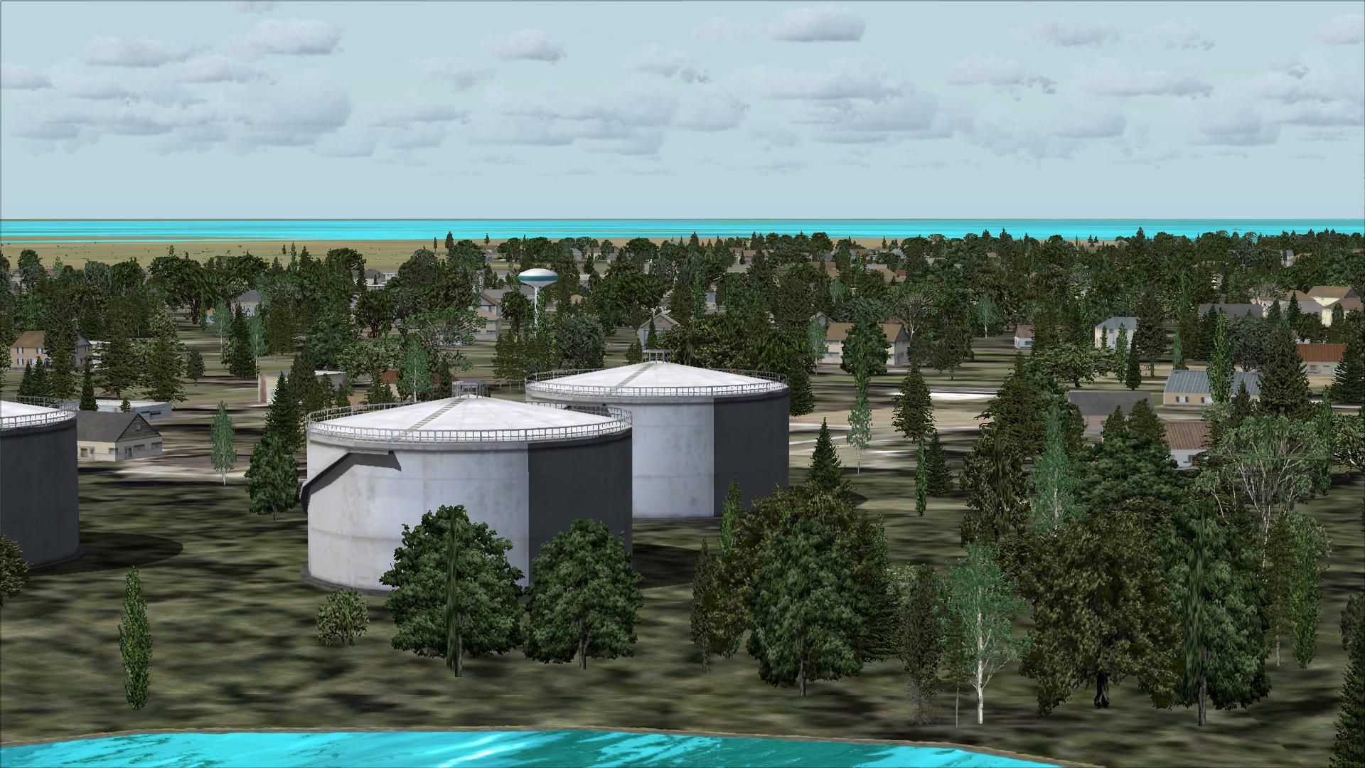
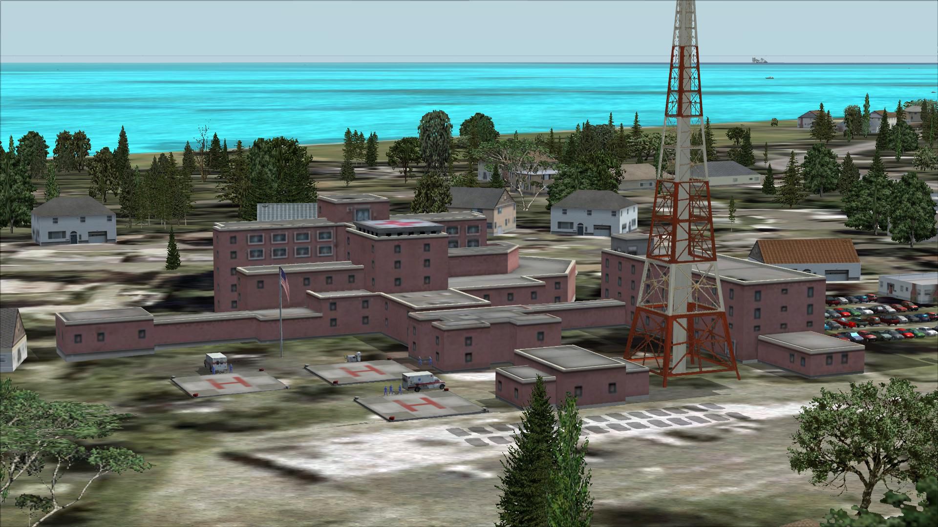
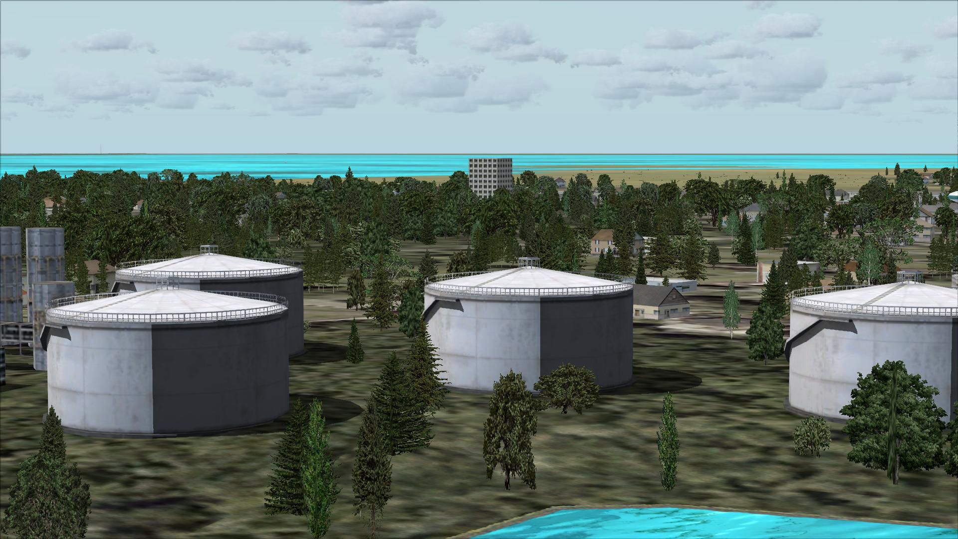
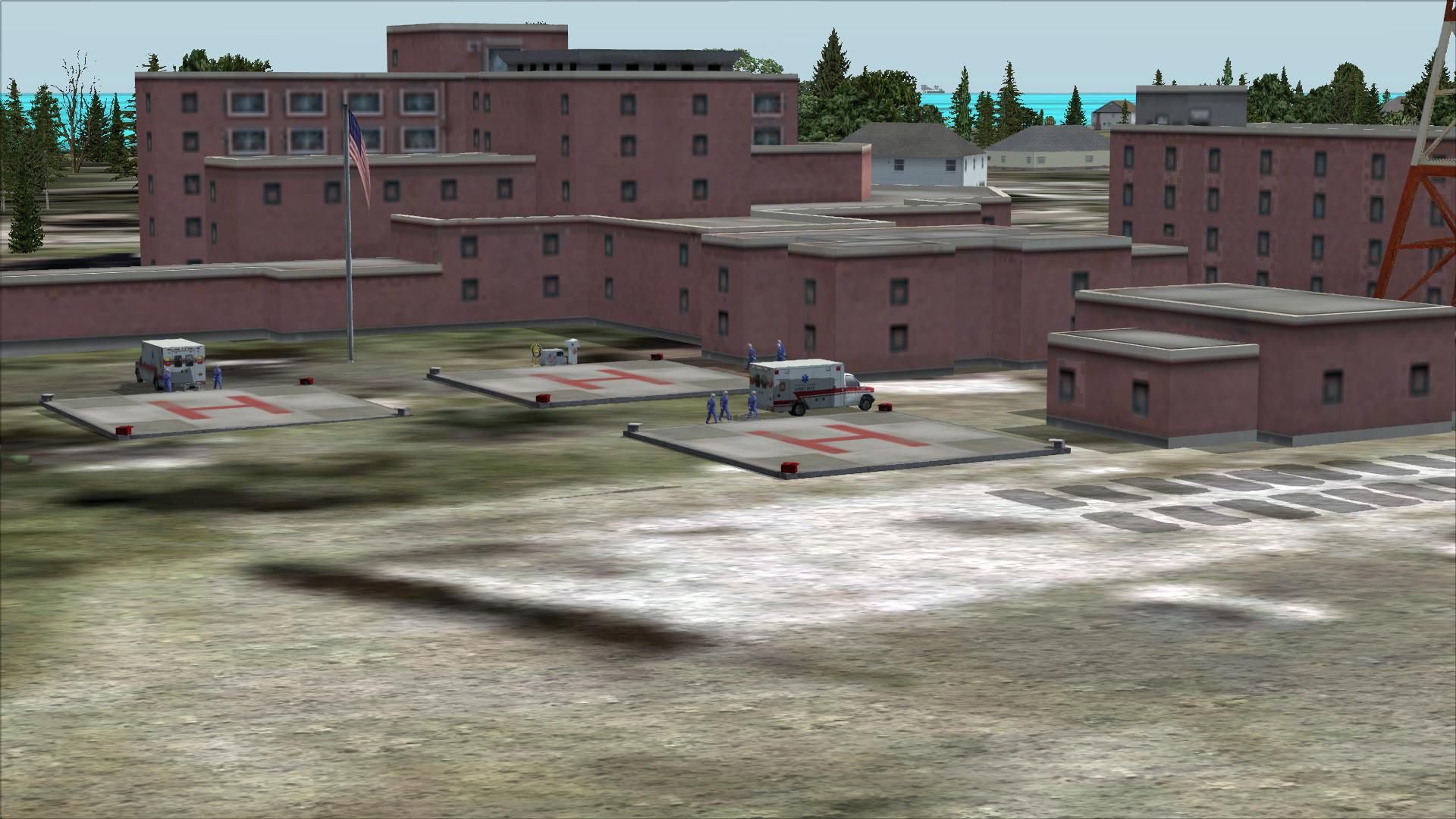
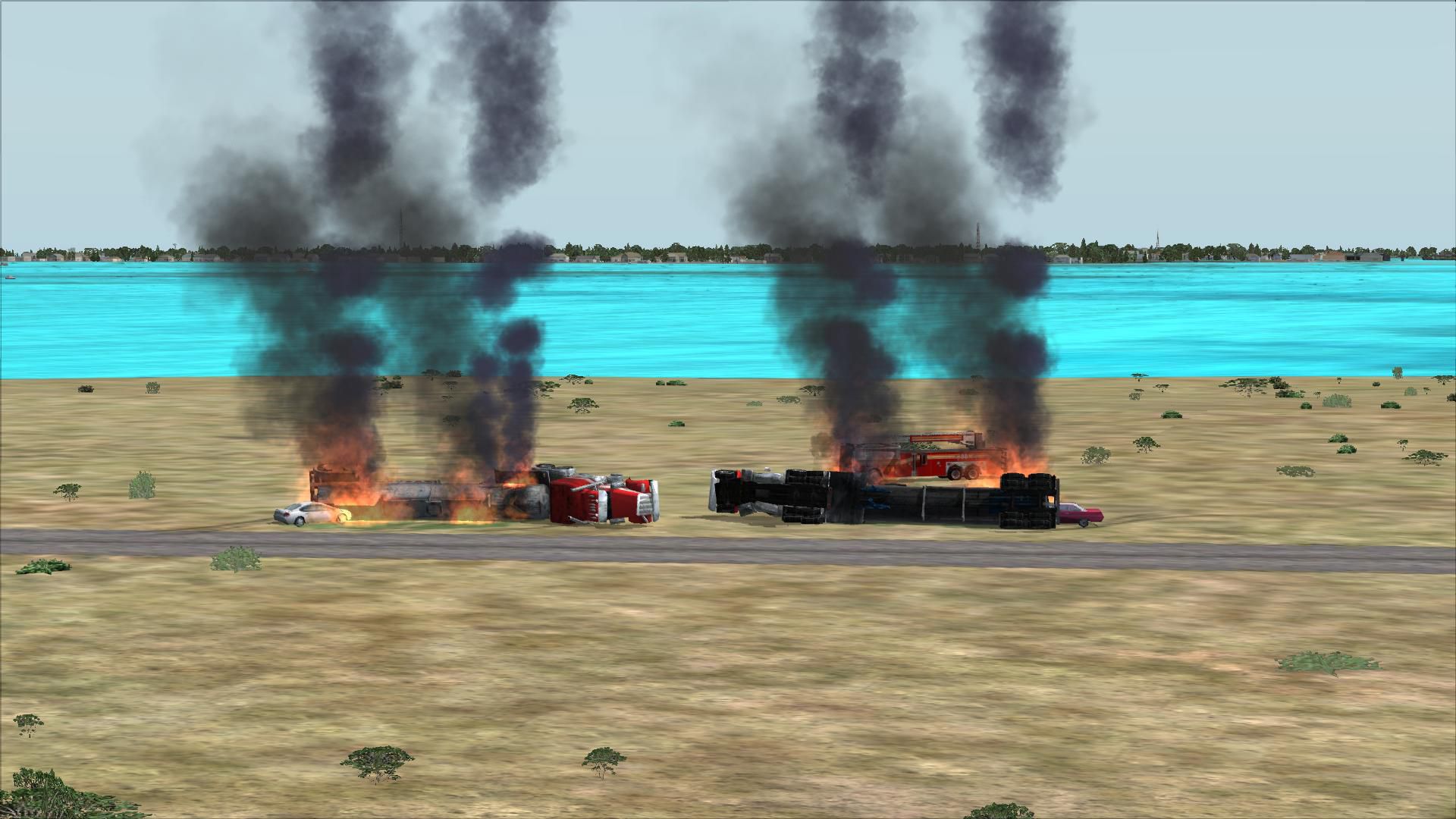
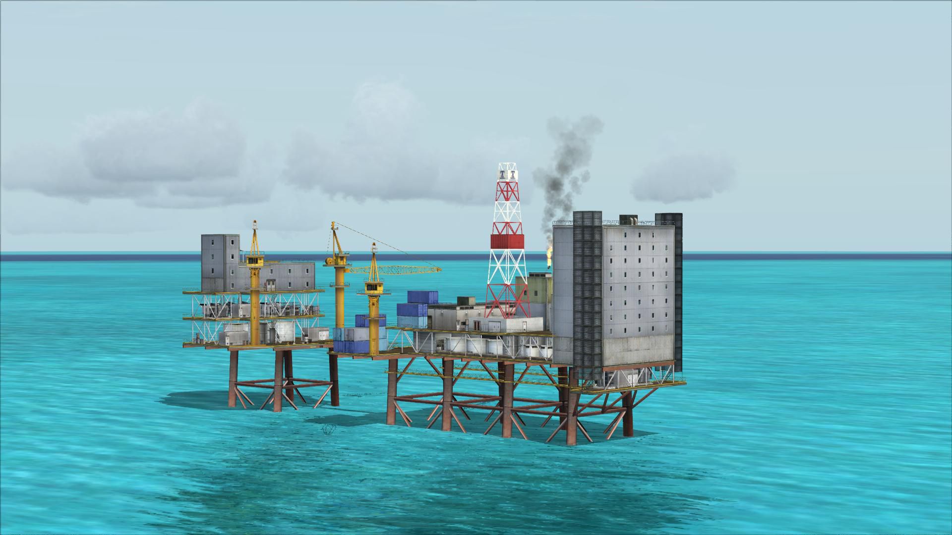
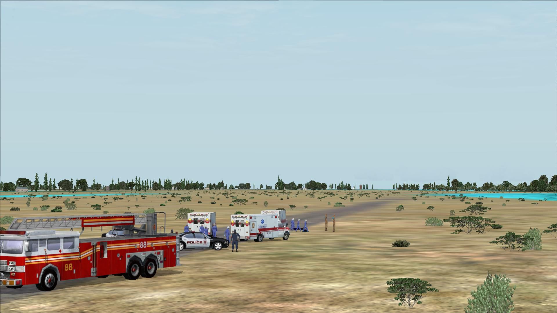
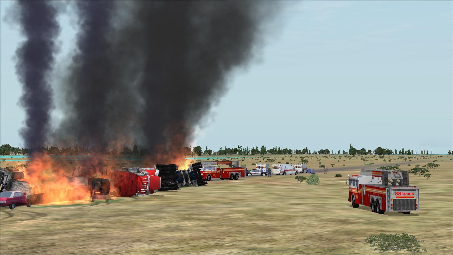
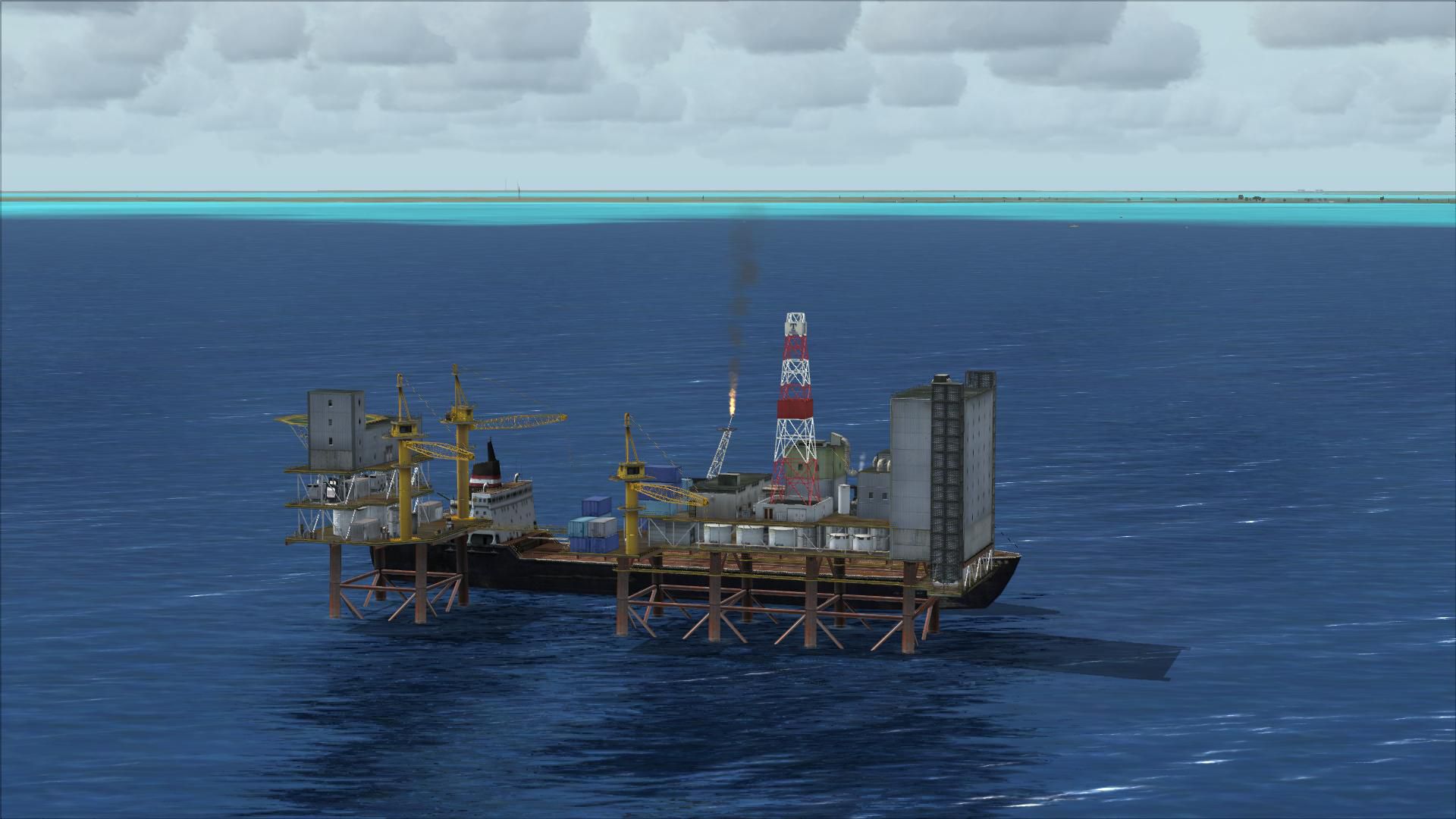
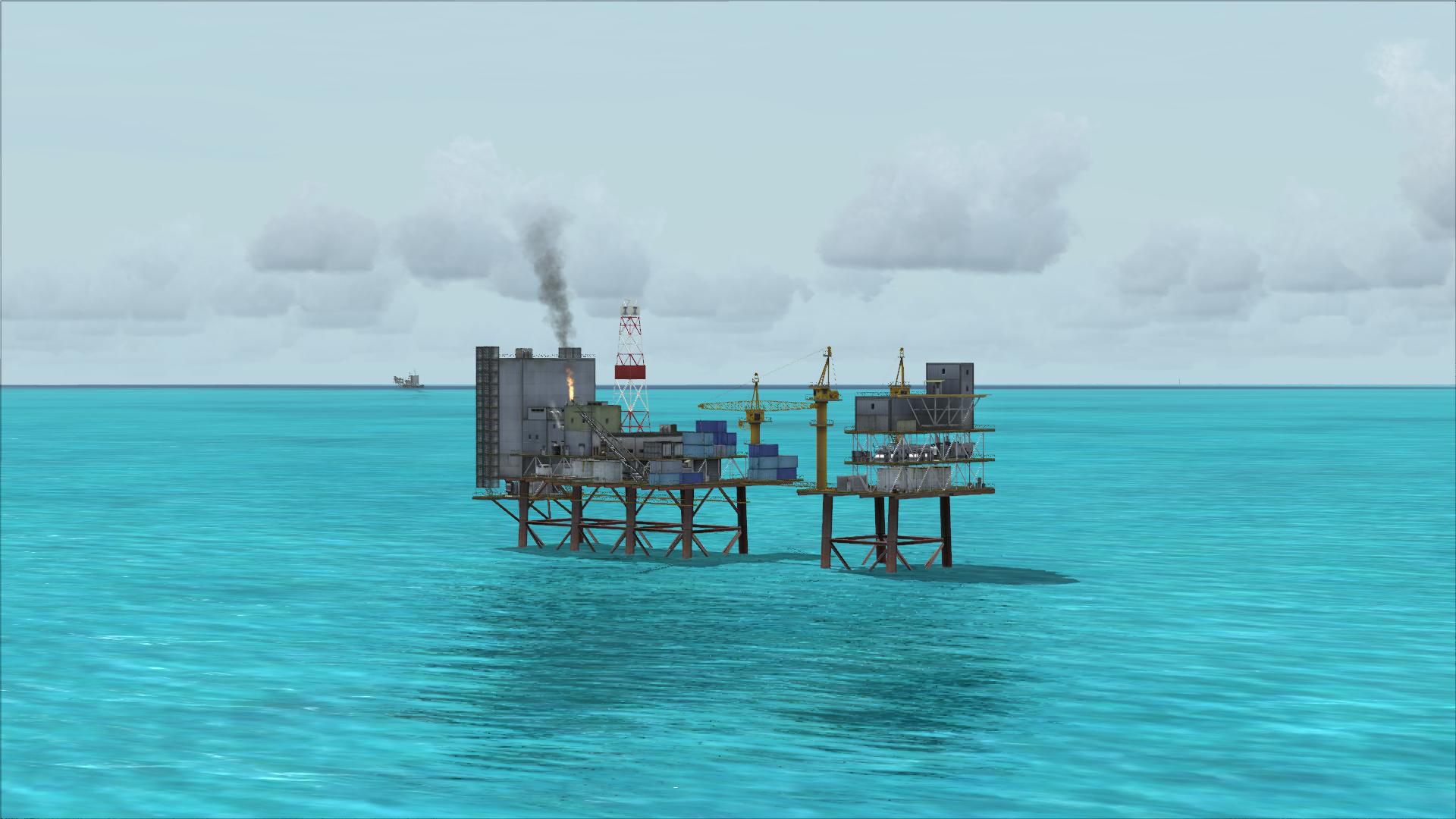
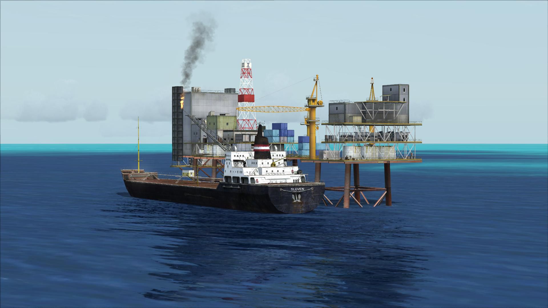
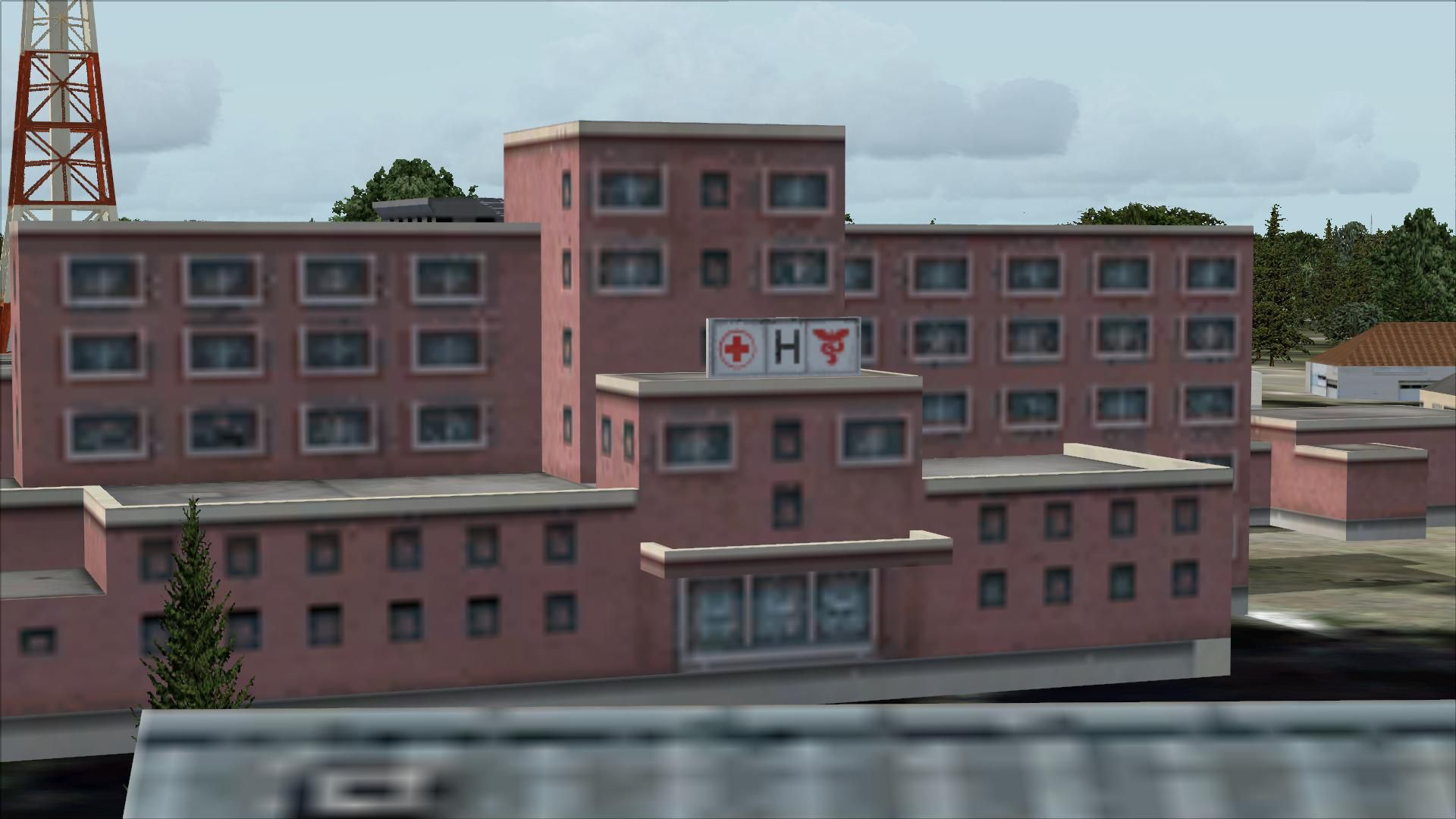
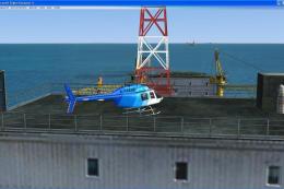
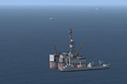
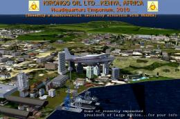
Galveston, Texas offshore oil rigs bring Gulf Coast helicopter and low-level flights to life with five platform models plus an oil company headquarters, a hospital, and a dramatic shoreline wreck scene. Designed for FSX, the scenery adds distinctive navigation references and mission-style visual targets around Scholes International for more immersive local flying.


 United States of America
 - File: galveston_tx_scenery.zip
- Size:5.18 MB
- Scan:
Clean (24d)

- Access:Freeware
- Content:Everyone
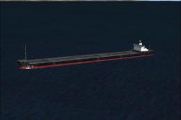
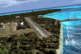
Galveston Oil Rigs, oil company and hospital scenery, Texas (TX). Scenery includes oil company HQ, a hospital, a wreck site with flipped tankers and cars and five offshore oil rigs. By Ryan Brown.
Place the .BGL file in your Add-on Scenery folder. Load FSX, then go to settings---> scenery library (make sure Add on scenery is enabled) Press ok, FSX should then start loading new scenery. Start a Free Flight or Multiplayer game. Choose starting Airport as Scholes Intl at Galveston (Galveston Tx.)
Locations:
Oil Co. HQ - LAT: N29 DEG. 18.84'
LON: W94 DEG. 48.90'
HOSP - LAT: N29 DEG. 18.81'
LON: W94 DEG. 45.99'
WRECK - LAT: N29 DEG. 21.85'
LON: W94 DEG. 46.58'
OIL RIG SOUTH - LAT: N29 DEG. 10.08'
LON: W94 DEG. 48.87'
OIL RIG NORTH - LAT: N29 DEG. 20.89'
LON: W94 DEG. 33.71
THERE A FEW RIGS BETWEEN THESE 2 BUT I REALLY DIDNT FEEL LIKE TYPING MORE COORD.
Hope you enjoy and this gives a little more depth to flyin Heli's - made by Ryan Brown using Abacus's free Scenery shortcut.
p.s. im using FSX Acceleration so im not sure if everything will show up if your using just FSX.
Images & Screenshots


Finding the Scenery
- FSX/Prepar3D Coordinates:
-
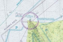
29.30000000,-94.80000000
Use the downloaded flight plan file by launching FSX/P3D, selecting "Load Flight Plan" in the flight planner, and choosing the .pln file. Your aircraft will be positioned directly at the add-on’s location. - Decimal Degrees (DD):
-
Latitude: 29.300000°
Longitude: -94.800000° - Degrees, Minutes, Seconds (DMS):
-
Latitude: 29° 18' 00.000" N
Longitude: 94° 47' 60.000" W
Map Location
The archive galveston_tx_scenery.zip has 26 files and directories contained within it.
File Contents
This list displays the first 500 files in the package. If the package has more, you will need to download it to view them.
| Filename/Directory | File Date | File Size |
|---|---|---|
| Galveston TX scenery | 09.22.09 | 0 B |
| Galveston HQ, oil rig, hosp.bgl | 09.22.09 | 6.90 kB |
| Locations and info.txt | 09.21.09 | 960 B |
| flyawaysimulation.txt | 10.29.13 | 959 B |
| Go to Fly Away Simulation.url | 01.22.16 | 52 B |
| Screenshots | 08.21.19 | 0 B |
| screen-1.jpg | 08.20.19 | 635.05 kB |
| screen-10.jpg | 08.20.19 | 334.14 kB |
| screen-11.jpg | 08.20.19 | 258.24 kB |
| screen-12.jpg | 08.20.19 | 155.60 kB |
| screen-13.jpg | 08.20.19 | 227.75 kB |
| screen-14.jpg | 08.20.19 | 185.76 kB |
| screen-15.jpg | 08.20.19 | 194.79 kB |
| screen-16.jpg | 08.20.19 | 166.03 kB |
| screen-17.jpg | 08.20.19 | 182.73 kB |
| screen-18.jpg | 08.20.19 | 170.83 kB |
| screen-19.jpg | 08.20.19 | 197.33 kB |
| screen-2.jpg | 08.20.19 | 400.95 kB |
| screen-20.jpg | 08.20.19 | 177.50 kB |
| screen-3.jpg | 08.20.19 | 367.94 kB |
| screen-4.jpg | 08.20.19 | 237.36 kB |
| screen-5.jpg | 08.20.19 | 271.96 kB |
| screen-6.jpg | 08.20.19 | 299.33 kB |
| screen-7.jpg | 08.20.19 | 336.83 kB |
| screen-8.jpg | 08.20.19 | 341.79 kB |
| screen-9.jpg | 08.20.19 | 338.48 kB |
Installation Instructions
Most of the freeware add-on aircraft and scenery packages in our file library come with easy installation instructions which you can read above in the file description. For further installation help, please see our Flight School for our full range of tutorials or view the README file contained within the download. If in doubt, you may also ask a question or view existing answers in our dedicated Q&A forum.


0 comments
Leave a Response