FSX Newton Airport Scenery
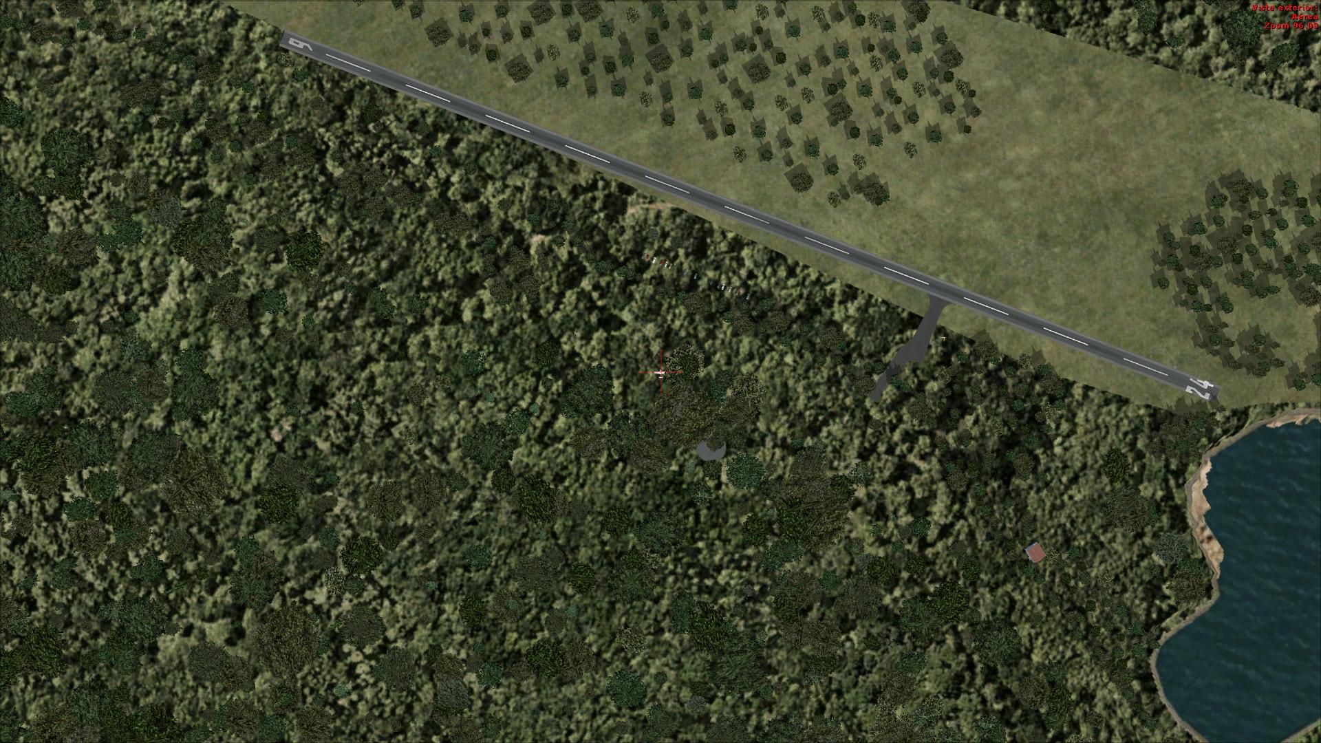
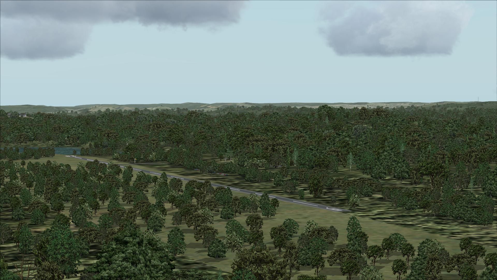
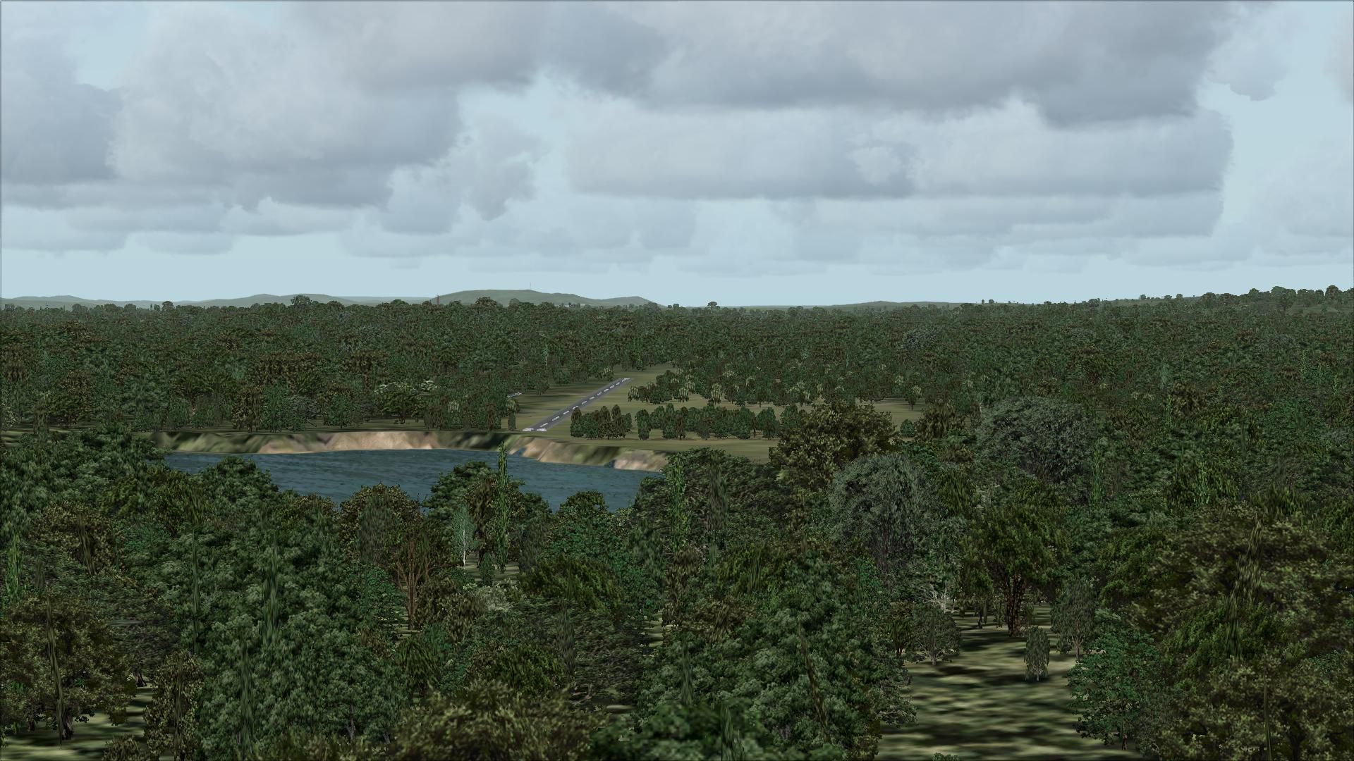
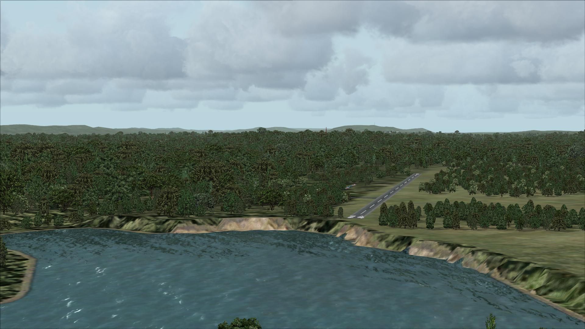
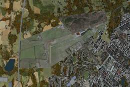
Newton Airport (3N5) scenery recreates the small public airstrip three miles south of Newton, New Jersey with satellite-based placement, seasonal summer trees, and accurate field details such as a lighted wind indicator and VFR-only operations. Built for FSX and requires MegaScenery Earth New York 005 plus EZ Scenery, RWY 12, OZx Libraries, and ezhousz objects for full visuals.


 United States of America
 - File: 3n5.zip
- Size:6.28 MB
- Scan:
Clean (4d)

- Access:Freeware
- Content:Everyone
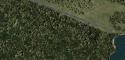
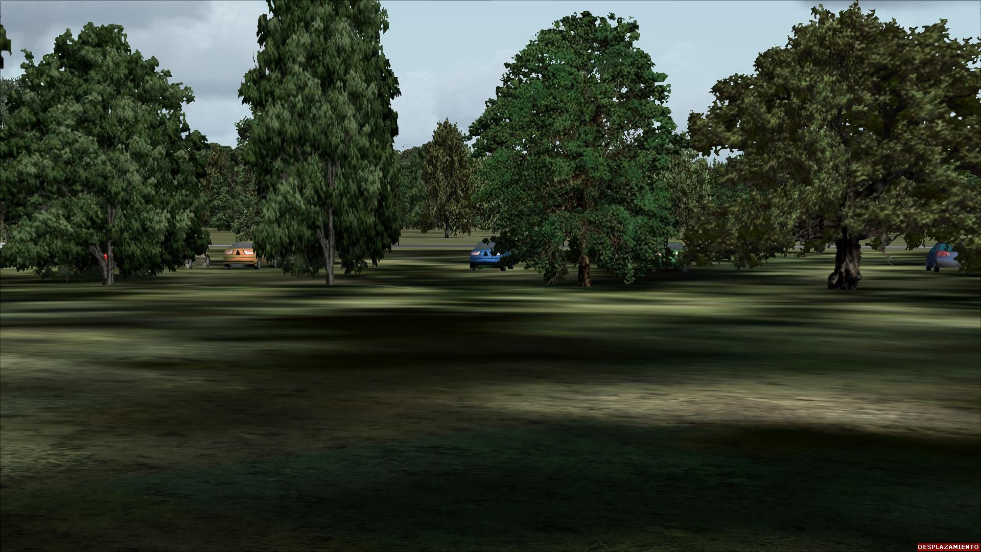
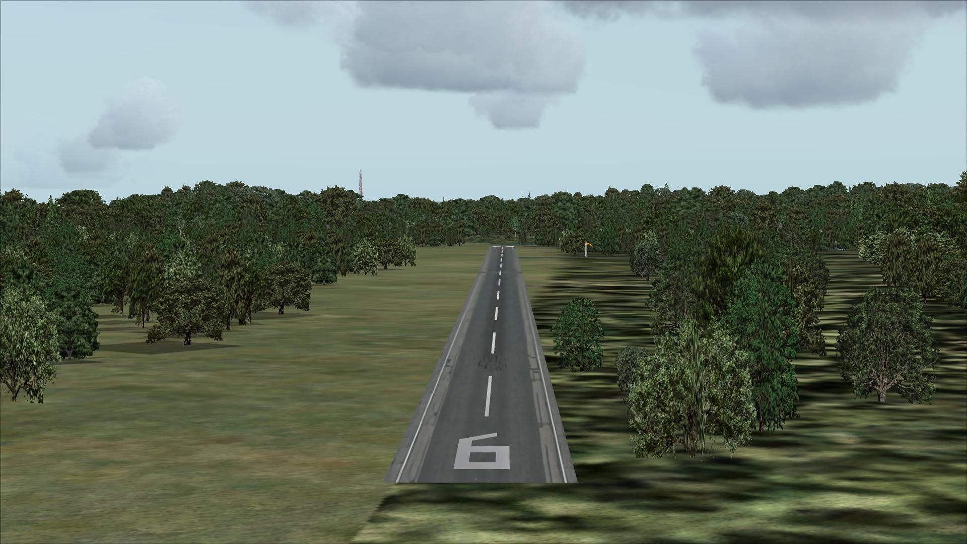
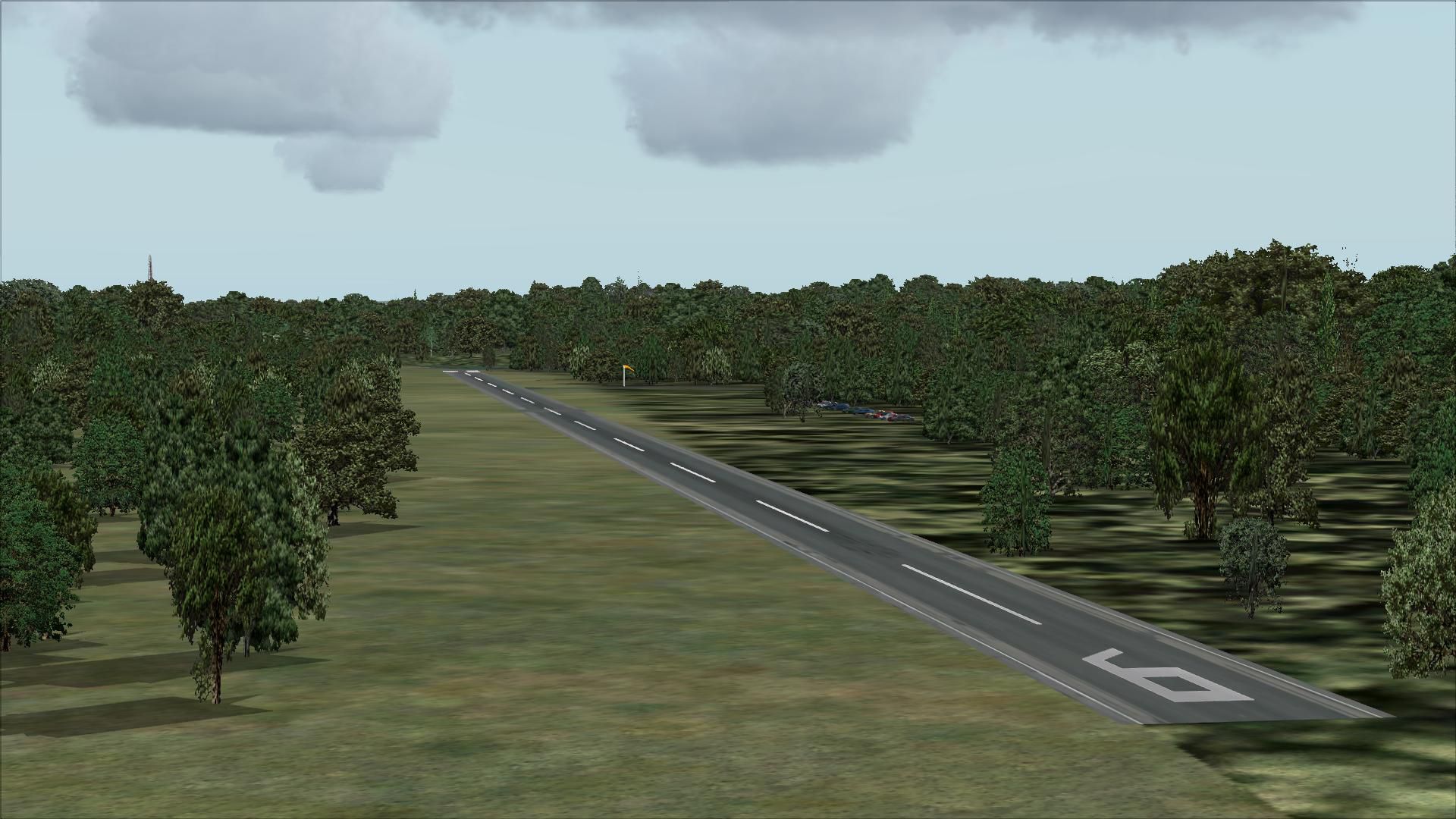
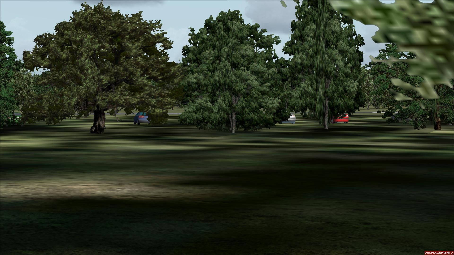
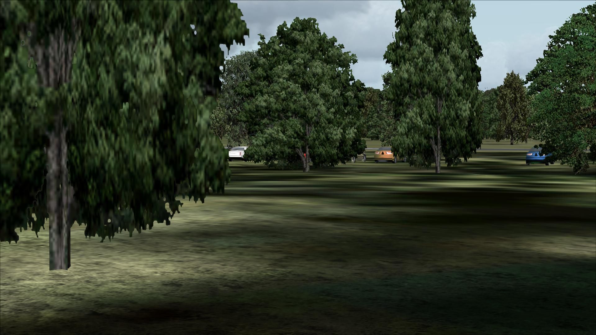
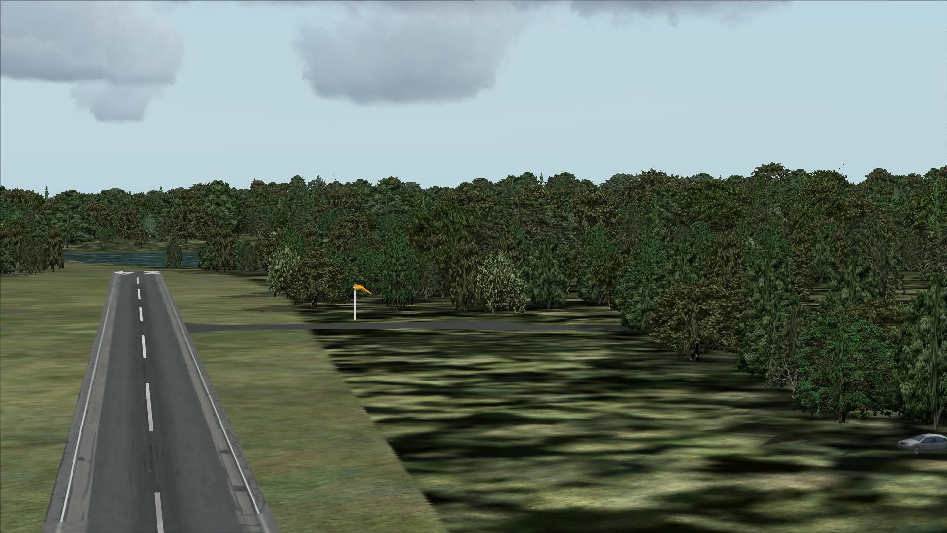
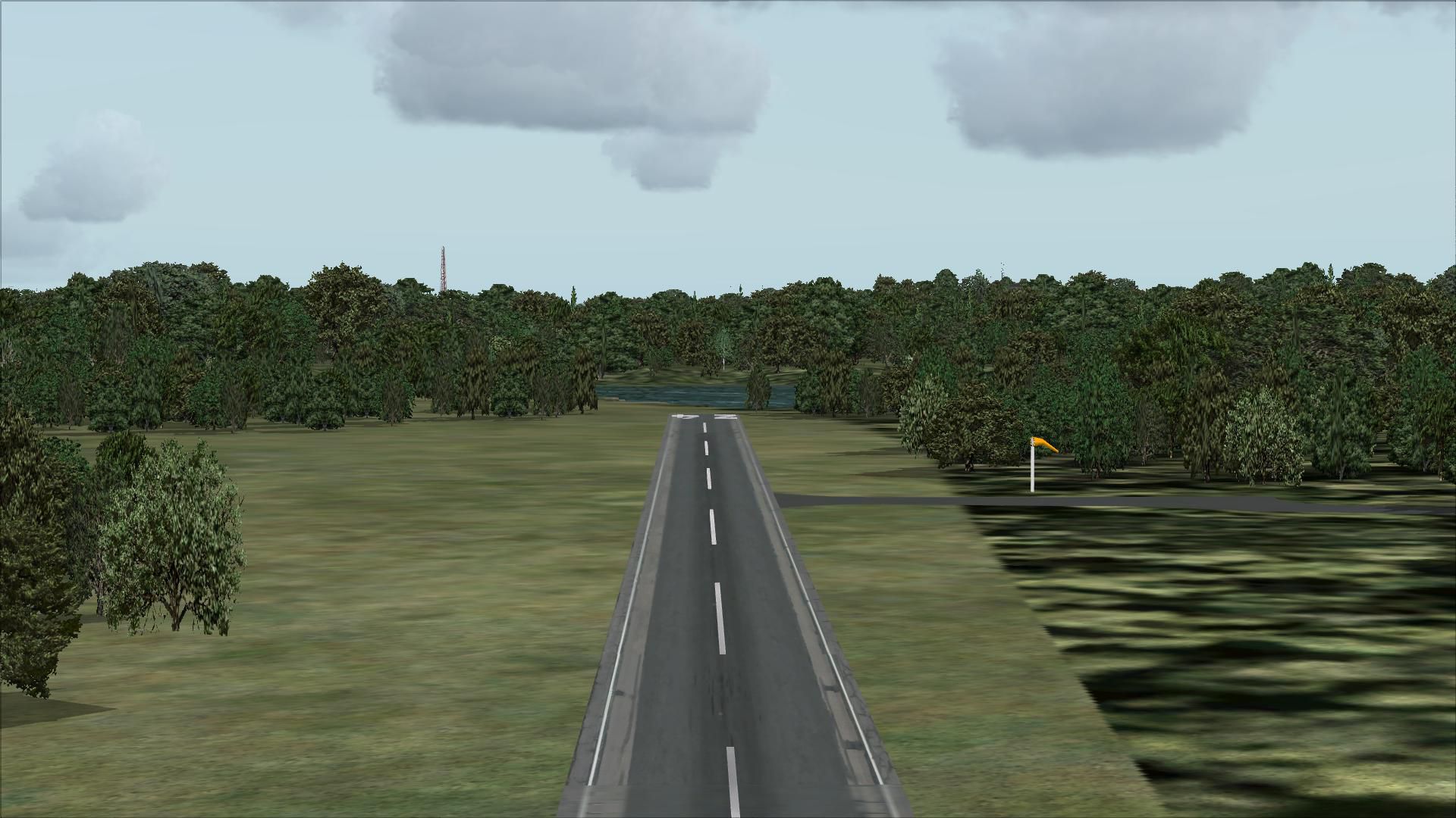
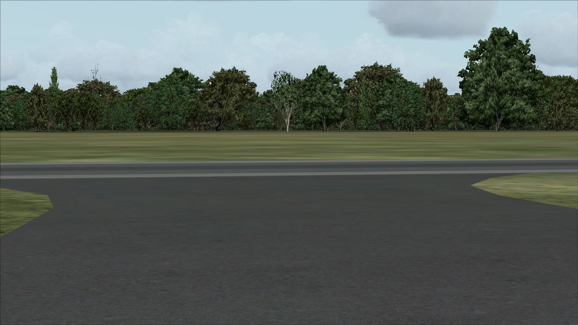
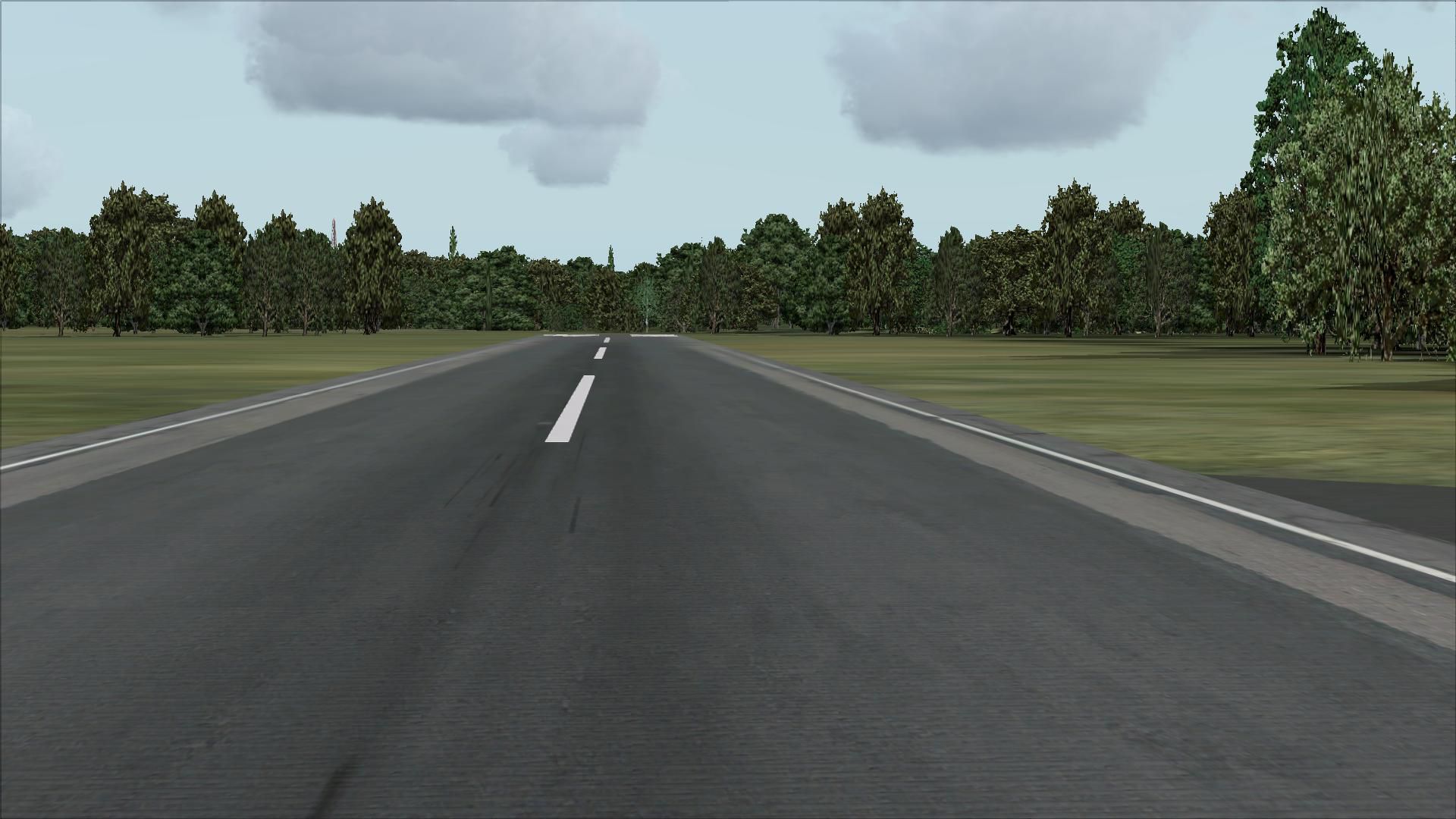
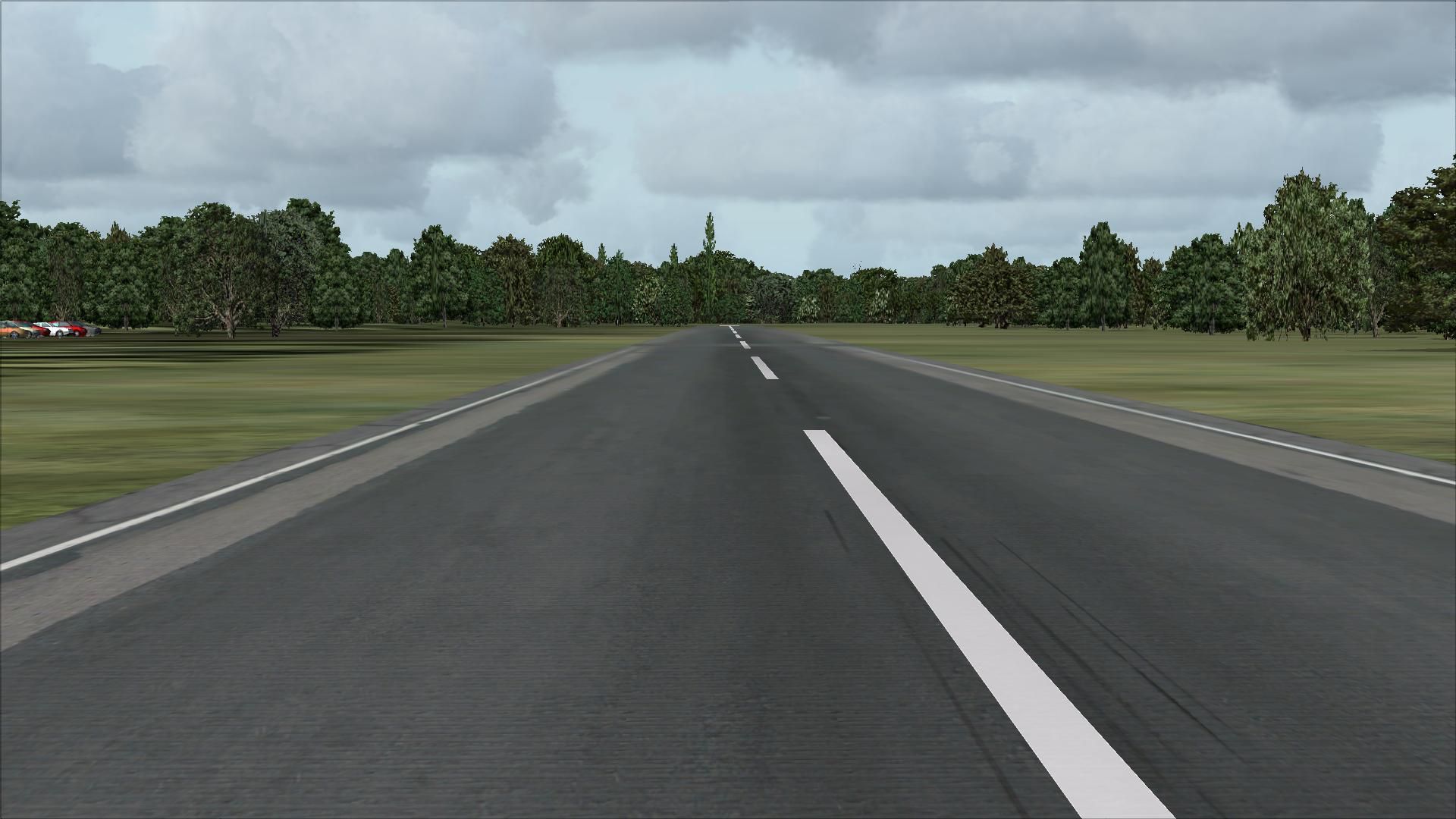
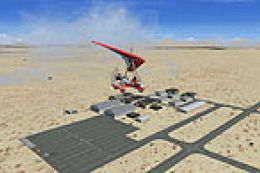
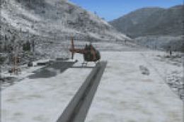
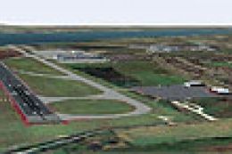
Newton Airport (3N5), New Jersey (NJ). Located 3 miles south of Newton, New Jersey on 90 acres of land, Newton Airport is a public airstrip. No services are offered for transient aircraft. Trees are summertime only. By Drew Sikora.
Scenery constructed with use of satellite images/streetview, the author has not been there in person.
This scenery is meant to be used in conjunction with MegaScenery Earth New York 005. It is not required, but apron use is minimized to allow satellite scenery to show through as much as possible, and objects are placed based on the MSE textures - lack of it may make scenery look out of place.
Airport Remarks:
- No Fuel Available
- Wind Indicator: Yes, Lighted
- Airport unlit: VFR operations only
Installation:
Unzip the folder 3N5 to wherever you stash your add-on scenery, then activate within the FSX scenery library.
When layering in your scenery library, this airport file MUST be layered ON TOP of MegaScenery Earth layers. If you do not do this, you will get floating runways in areas with hills and mountains depending on how detailed your terrain mesh is.
This airport uses the following external scenery objects:
EZ Scenery Objects
RWY 12 Objects
OZx Libraries 1.0
ezhousz.zip
The scenery libraries above ARE REQUIRED to get the full effect of the scenery.
NOTE: the airport AD2 file in the main airport directory is the Airport Design Editor file for anyone that wants to further tweak the airport.
There is no reason installation of this scenery should harm your computer. I will not be held responsible for any damage occured to your computer as result of installing this scenery. Use at your own risk.
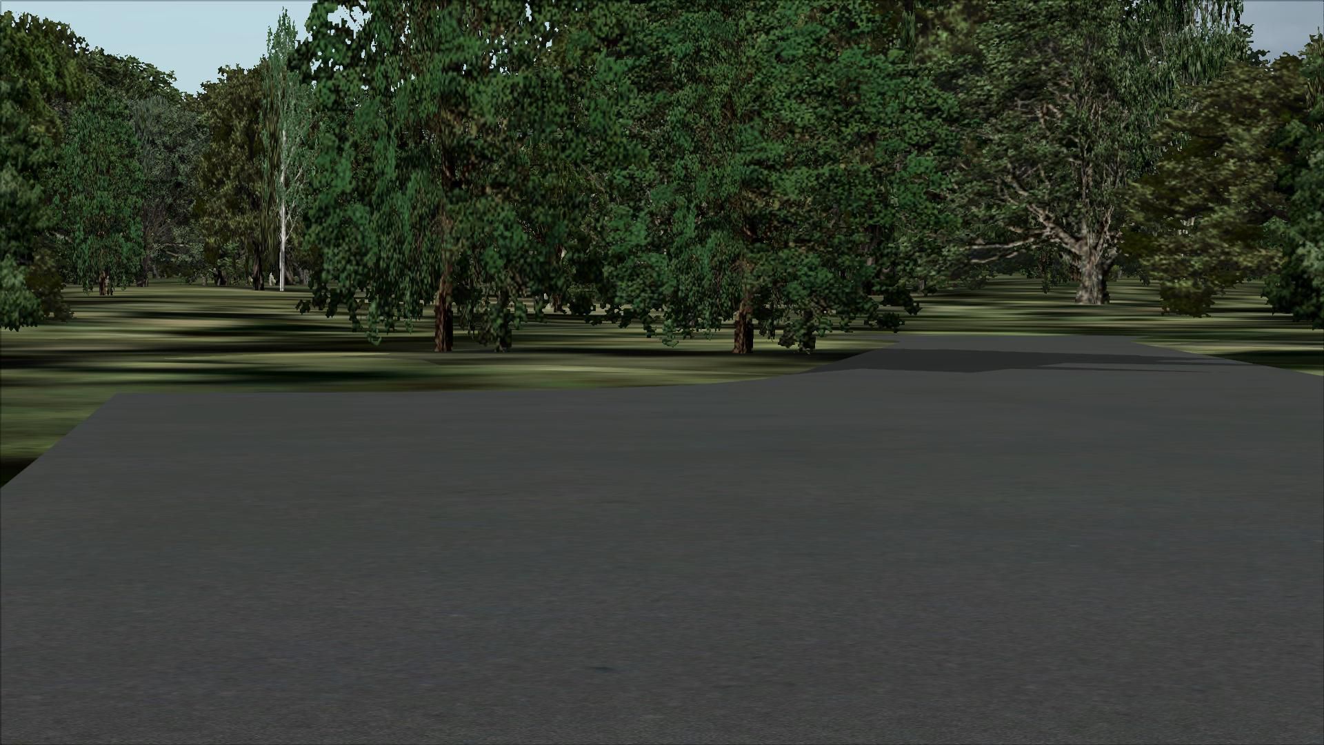
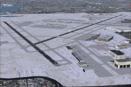
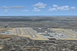
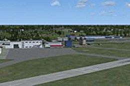
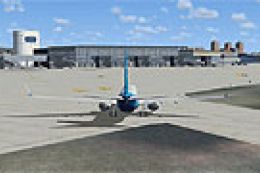
Images & Screenshots


Finding the Scenery
- FSX/Prepar3D Coordinates:
-
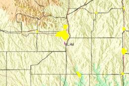
41.02820000,-74.73720000
Use the downloaded flight plan file by launching FSX/P3D, selecting "Load Flight Plan" in the flight planner, and choosing the .pln file. Your aircraft will be positioned directly at the add-on’s location. - Decimal Degrees (DD):
-
Latitude: 41.028200°
Longitude: -74.737200° - Degrees, Minutes, Seconds (DMS):
-
Latitude: 41° 01' 41.520" N
Longitude: 74° 44' 13.920" W
Map Location
The archive 3n5.zip has 30 files and directories contained within it.
File Contents
This list displays the first 500 files in the package. If the package has more, you will need to download it to view them.
| Filename/Directory | File Date | File Size |
|---|---|---|
| 3N5 | 11.22.10 | 0 B |
| 3N5_ADEX_DS.ad2 | 11.22.10 | 914.20 kB |
| Scenery | 11.22.10 | 0 B |
| 3N5_ADEX_DS.BGL | 11.22.10 | 68.29 kB |
| 3N5_ADEX_DS_CVX.bgl | 11.22.10 | 1.45 kB |
| ReadMe.txt | 11.22.10 | 2.54 kB |
| flyawaysimulation.txt | 10.29.13 | 959 B |
| Go to Fly Away Simulation.url | 01.22.16 | 52 B |
| Screenshots | 08.12.19 | 0 B |
| screen-1.jpg | 08.09.19 | 213.62 kB |
| screen-10.jpg | 08.09.19 | 271.46 kB |
| screen-11.jpg | 08.09.19 | 237.71 kB |
| screen-12.jpg | 08.09.19 | 187.30 kB |
| screen-13.jpg | 08.09.19 | 204.40 kB |
| screen-14.jpg | 08.09.19 | 240.27 kB |
| screen-15.jpg | 08.09.19 | 250.14 kB |
| screen-16.jpg | 08.09.19 | 257.40 kB |
| screen-17.jpg | 08.09.19 | 257.74 kB |
| screen-18.jpg | 08.09.19 | 328.41 kB |
| screen-19.jpg | 08.09.19 | 326.60 kB |
| screen-2.jpg | 08.09.19 | 252.53 kB |
| screen-20.jpg | 08.09.19 | 234.97 kB |
| screen-21.jpg | 08.09.19 | 382.30 kB |
| screen-3.jpg | 08.09.19 | 272.95 kB |
| screen-4.jpg | 08.09.19 | 249.34 kB |
| screen-5.jpg | 08.09.19 | 398.92 kB |
| screen-6.jpg | 08.09.19 | 351.76 kB |
| screen-7.jpg | 08.09.19 | 267.78 kB |
| screen-8.jpg | 08.09.19 | 206.01 kB |
| screen-9.jpg | 08.09.19 | 262.56 kB |
Installation Instructions
Most of the freeware add-on aircraft and scenery packages in our file library come with easy installation instructions which you can read above in the file description. For further installation help, please see our Flight School for our full range of tutorials or view the README file contained within the download. If in doubt, you may also ask a question or view existing answers in our dedicated Q&A forum.
1 comments
Leave a ResponseThe content of the comments below are entirely the opinions of the individual posting the comment and do not always reflect the views of Fly Away Simulation. We moderate all comments manually before they are approved.
Newton is actually closed