FSX Abraham Lincoln Capital Airport Scenery
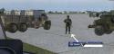
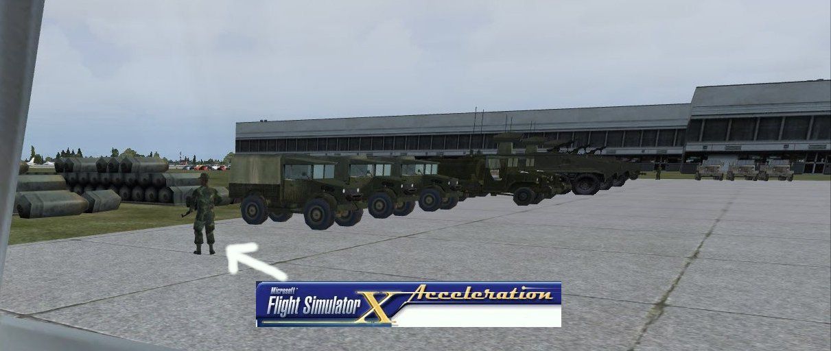
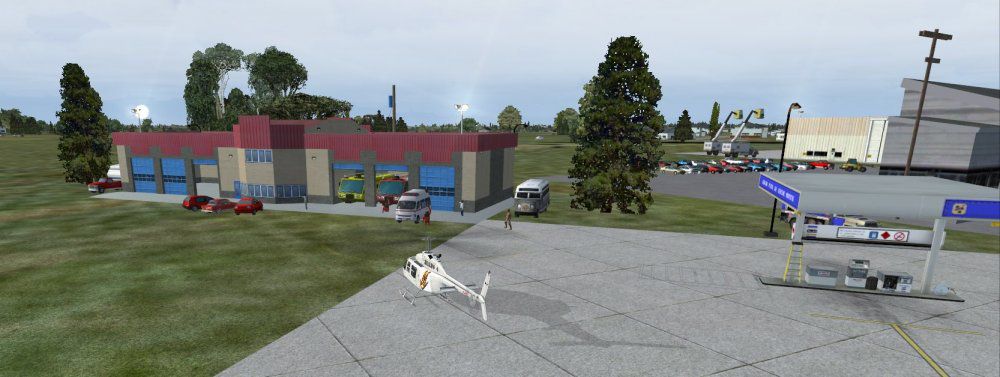
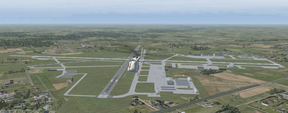
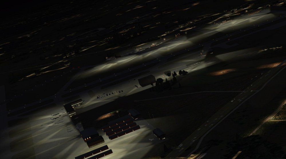
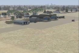
Abraham Lincoln Capital Airport (KSPI) scenery brings Springfield, Illinois to life with custom objects, ramp detail, animated people, and enhanced lighting for more believable approaches and ground operations in FSX. It also adds static general aviation aircraft and requires GAPLANE1.ZIP for certain models to display as intended.


 United States of America
 - File: kspi.zip
- Size:1001.28 KB
- Scan:
Clean (24d)

- Access:Freeware
- Content:Everyone
Abraham Lincoln Capital Airport (KSPI), Springfield, Illinois (IL), USA. Includes objects, people, lighting. GAPLANE1.ZIP needed for some aircraft. By Jimmy R. Martin.
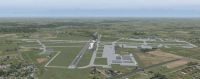
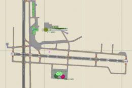
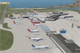
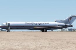
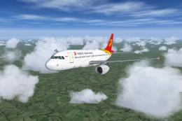
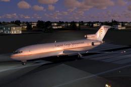
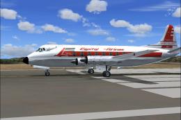
Screenshot of Abraham Lincoln Capital Airport Scenery.
Download gaplane1.zip -
Size: 1,620,007
FS2004 GA Planes 1 For EZ-Scenery. A repackaging of Seev Kahn's selection of individual general aviation aircraft repackaged in EZ-Scenery form. Repackaged by Steve Ziegler.
Place the two folders into your addon scenery folder.

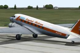
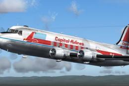
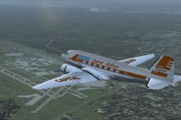
Screenshot of Abraham Lincoln Capital Airport Scenery.
Images & Screenshots

Finding the Scenery
- FSX/Prepar3D Coordinates:
-
39.84440000,-89.67730000
Use the downloaded flight plan file by launching FSX/P3D, selecting "Load Flight Plan" in the flight planner, and choosing the .pln file. Your aircraft will be positioned directly at the add-on’s location. - Decimal Degrees (DD):
-
Latitude: 39.844400°
Longitude: -89.677300° - Degrees, Minutes, Seconds (DMS):
-
Latitude: 39° 50' 39.840" N
Longitude: 89° 40' 38.280" W
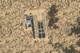
Map Location
The archive kspi.zip has 21 files and directories contained within it.
File Contents
This list displays the first 500 files in the package. If the package has more, you will need to download it to view them.
| Filename/Directory | File Date | File Size |
|---|---|---|
| file_id.diz | 03.16.11 | 119 B |
| PS0121.jpg | 03.15.11 | 74.33 kB |
| PS0122.jpg | 03.15.11 | 54.86 kB |
| PS0123.jpg | 03.16.11 | 74.23 kB |
| PS0124.jpg | 03.16.11 | 95.17 kB |
| PS0125.jpg | 03.16.11 | 187.00 kB |
| ramp lights.txt | 01.25.11 | 458 B |
| README.txt | 03.16.11 | 806 B |
| scenery | 03.16.11 | 0 B |
| KSPI_ADEX_JTM.ad2.ad2 | 03.16.11 | 338.53 kB |
| KSPI_ADEX_JTM.BGL | 03.16.11 | 29.84 kB |
| KSPI_jRm_IS.bgl | 03.16.11 | 9.79 kB |
| RampLight_Library.bgl | 01.11.05 | 30.63 kB |
| Thumbs.db | 05.14.06 | 208.50 kB |
| texture | 03.14.11 | 0 B |
| ESDG_ramp.BMP | 01.09.05 | 32.07 kB |
| ESDG_ramp_lm.BMP | 01.09.05 | 32.07 kB |
| web.txt | 03.16.11 | 119 B |
| KSPI | 03.16.11 | 0 B |
| flyawaysimulation.txt | 10.29.13 | 959 B |
| Go to Fly Away Simulation.url | 01.22.16 | 52 B |
Installation Instructions
Most of the freeware add-on aircraft and scenery packages in our file library come with easy installation instructions which you can read above in the file description. For further installation help, please see our Flight School for our full range of tutorials or view the README file contained within the download. If in doubt, you may also ask a question or view existing answers in our dedicated Q&A forum.

0 comments
Leave a Response