Page 7
Searches the whole library — filter by sim & category on the results page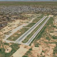
Located east of the Tisza Lake, Debrecen now functions as an international, public airport since 1991. It handles international traffic from this location, serving as a civilian access point for th…
A fix aligns exact tower-view location, coordinates traffic between Colombian airports, and marks gates and ramps for parking across all Colombian Airports, by Alejandro Gómez B. It captures layout…
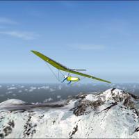
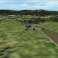
The files add thermals to the environment, and hang glider flights cover three peaks: Kilimanjaro in Tanzania near the Kenya border, Africa; Mt. Blanc near the France–Italy border, Europe; and Mt. …

Postwar Kai Tak in Hong Kong evolves from the Japanese airfield constructed during World War II into a civil facility, by Alex Nicolson. A new runway extends on landfill out into the water, reflect…
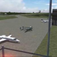
By HAUGER Fredo, the Vieux-Ferette airfield in Alsace, northeast France, includes hangars, a club house, and static ultralights. An image named LF6822_5.jpg accompanies the site and it invites VFR …
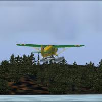
Lyle Froese authors simple, practical floatplane bases for Northern Saskatchewan. They align with the default setting and Dwayne Matheson's LOD8 mesh, establishing compatibility across standard ins…
 Base Model
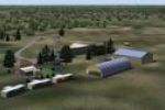
Bright Lubitz Field remains unofficial and outside Transport Canada records, yet it appears on map and a navigation display with the CLUB ID and a UNICOM frequency. Traffic includes two aircraft, t…
Sármellék sits west of Lake Balaton and serves as the base for the Soviet 5th Berlin Guards unit. The unit lists 49 MiG-29Cs in its inventory around 1990, and since 1991 the site operates as an ope…
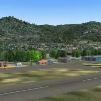
Grand Forks in south-central British Columbia carries the CZGF designation and sits in the Boundary Region. The town supports outdoor pursuits such as fishing, hiking, biking, and golf, while its h…
Set in the Mekong Delta, about 2 km southwest of Khanh Hung, this model traces a WWII Japanese fighter base that becomes the first USMC airfield in South Vietnam in 1962. HMM-362 flies UH-34 helico…
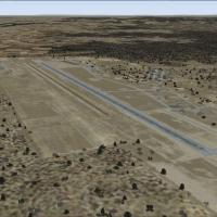
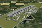
KMOD designates an airfield serving Modesto and Stanislaus County, with joint ownership by the City of Modesto and Stanislaus County and operation by the City of Modesto. It features more than one …
An updated presentation appears at the airfield near Fort Lewis, Washington, as construction changes alter its appearance. The update preserves accuracy in aircraft parking, including new spaces fo…
Replacement files appear as not real helipads but whimsical icons for landing on, created by Wm. R. Pulick. They support a playful progression, inviting users to leap frog from building to building…
A model of Quang Ngai Airfield depicts a rudimentary USMC strip south of Chu Lai Airbase. A 4,625-foot asphalt runway accommodates C-123 and C-130 transports, and the 174th Assault Helicopter Compa…
Version 1.1 presents an airfield tailored for VFR flight, with Frédéric Picci contributing the primary work and Jean-Jacques Hervé providing a VFR adaptation. An image file named lfrh2k4.jpg is pro…

A Gmax model reproduces the 2005 Rotterdam stop in the Netherlands, with the Erasmus Bridge included, presenting the layout from an aerial perspective. The date is June 12, 2005, and the work is by…
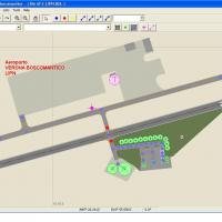
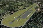
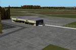
Carlo Bianchi delivers Verona Boscomantico (LIPN) addon focusing on a small Italian general aviation field near Verona in northern Italy, with runway configurations matched to real length and orien…
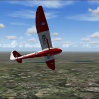
Thermals are added to the default Microsoft landscape for the North Weald, Dunstable and Stoke-on-Trent Regions in England, United Kingdom. Three regions in England gain thermals, aligning with the…
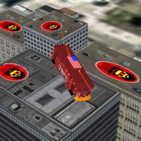
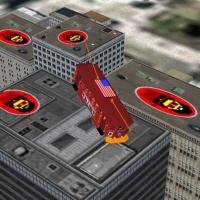
Replacement files tied to the 2004_Chicago_Trollycopter enable leap frog movement between rooftop helipads and rooftop comuters. No ownership claims or rules are stated, and the author encourages u…
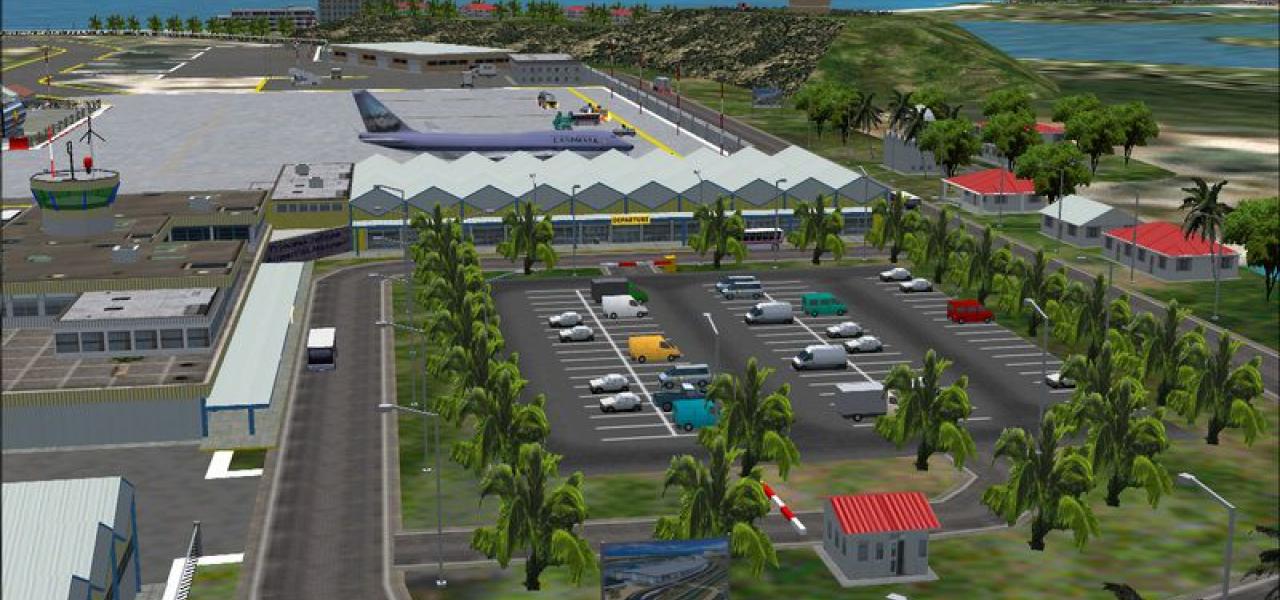
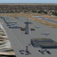
Tony Arnold leads a Rwy12 project that adds jetways, pushback tugs, and a few other ground vehicles to the basic Brisbane airport layout, designed for lower-end systems to keep FPS steady. The appr…