FSX San Felipe Airport (SVSP) Scenery
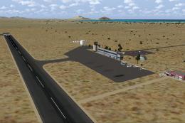
San Felipe Airport (SVSP) brings western San Felipe, Venezuela to life with satellite-based photo terrain, detailed terminal and hangars, and realistic textures drawn from reference imagery. Designed for private, small-scale, and mixed civil-military operations in Microsoft Flight Simulator X, it adds a believable regional stop with straightforward automated setup.

 Venezuela (Bolivarian Republic of)
 - File: svsp_fsx.zip
- Size:45.42 MB
- Scan:
Clean (17d)

- Access:Freeware
- Content:Everyone
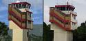
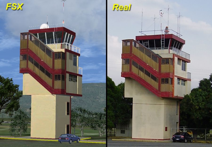
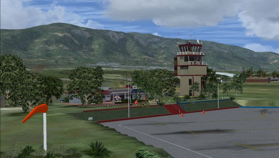
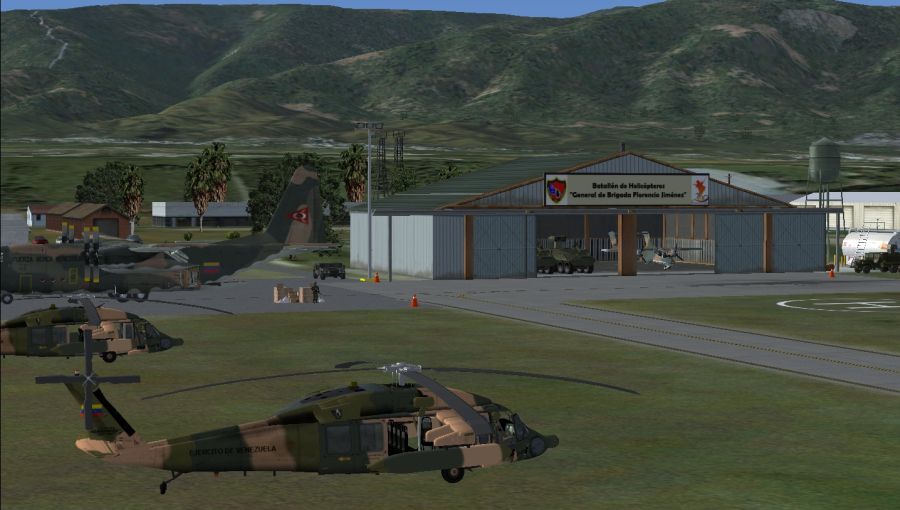
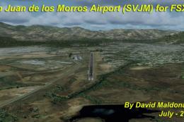
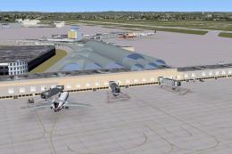
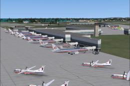
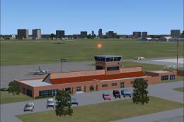
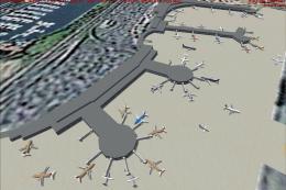
Venezuela. Regional airport located to the west of San Felipe city. Used for both military and civilian aircraft, works only for private flights and small-scale aircraft. With photo-terrain scenery from satellite imagery of Yahoo Satellite. This scenery includes terminal building and hangars with realistic textures from images obtained from Internet. Also includes a friendly auto-install. By David Maldonado.
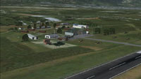
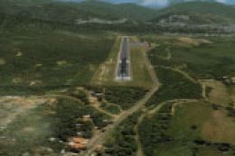
Aerial view of San Felipe Airport scenery.
This scenario has a friendly Auto-Install. Follow these steps for a successful installation:
- Install this package in your FSX main folder.
- When you start FSX, make sure that the SVSP scenery is in the scenery library.
- Go choose SVSP! That's it!
ACKNOWLEDGEMENTS:
- Thanks to Erick Rodriguez (aka | XTerk-RS |), the development and improvement tool that facilitates the installation of this stage.
- Thanks to the creators of the free tools used to this scenario.
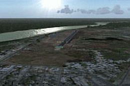
Images & Screenshots

Finding the Scenery
- FSX/Prepar3D Coordinates:
-
10.27720000,-68.75570000
Use the downloaded flight plan file by launching FSX/P3D, selecting "Load Flight Plan" in the flight planner, and choosing the .pln file. Your aircraft will be positioned directly at the add-on’s location. - Decimal Degrees (DD):
-
Latitude: 10.277200°
Longitude: -68.755700° - Degrees, Minutes, Seconds (DMS):
-
Latitude: 10° 16' 37.920" N
Longitude: 68° 45' 20.520" W
Map Location
The archive svsp_fsx.zip has 11 files and directories contained within it.
File Contents
This list displays the first 500 files in the package. If the package has more, you will need to download it to view them.
| Filename/Directory | File Date | File Size |
|---|---|---|
| svsp_fsx.exe | 04.01.12 | 43.33 MB |
| FILE_ID.diz | 04.01.12 | 523 B |
| Readme.txt | 04.01.12 | 2.38 kB |
| SVSP - Readme.pdf | 04.01.12 | 859.56 kB |
| SVSP_1.gif | 04.01.12 | 10.61 kB |
| SVSP_1.jpg | 04.01.12 | 326.32 kB |
| SVSP_2.jpg | 04.01.12 | 309.25 kB |
| SVSP_3.jpg | 04.01.12 | 306.80 kB |
| SVSP_4.jpg | 04.01.12 | 359.73 kB |
| flyawaysimulation.txt | 10.29.13 | 959 B |
| Go to Fly Away Simulation.url | 01.22.16 | 52 B |
Installation Instructions
Most of the freeware add-on aircraft and scenery packages in our file library come with easy installation instructions which you can read above in the file description. For further installation help, please see our Flight School for our full range of tutorials or view the README file contained within the download. If in doubt, you may also ask a question or view existing answers in our dedicated Q&A forum.

0 comments
Leave a Response