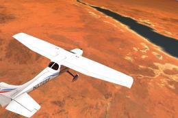
Texas Complete Photoreal (Ortho) Scenery
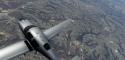
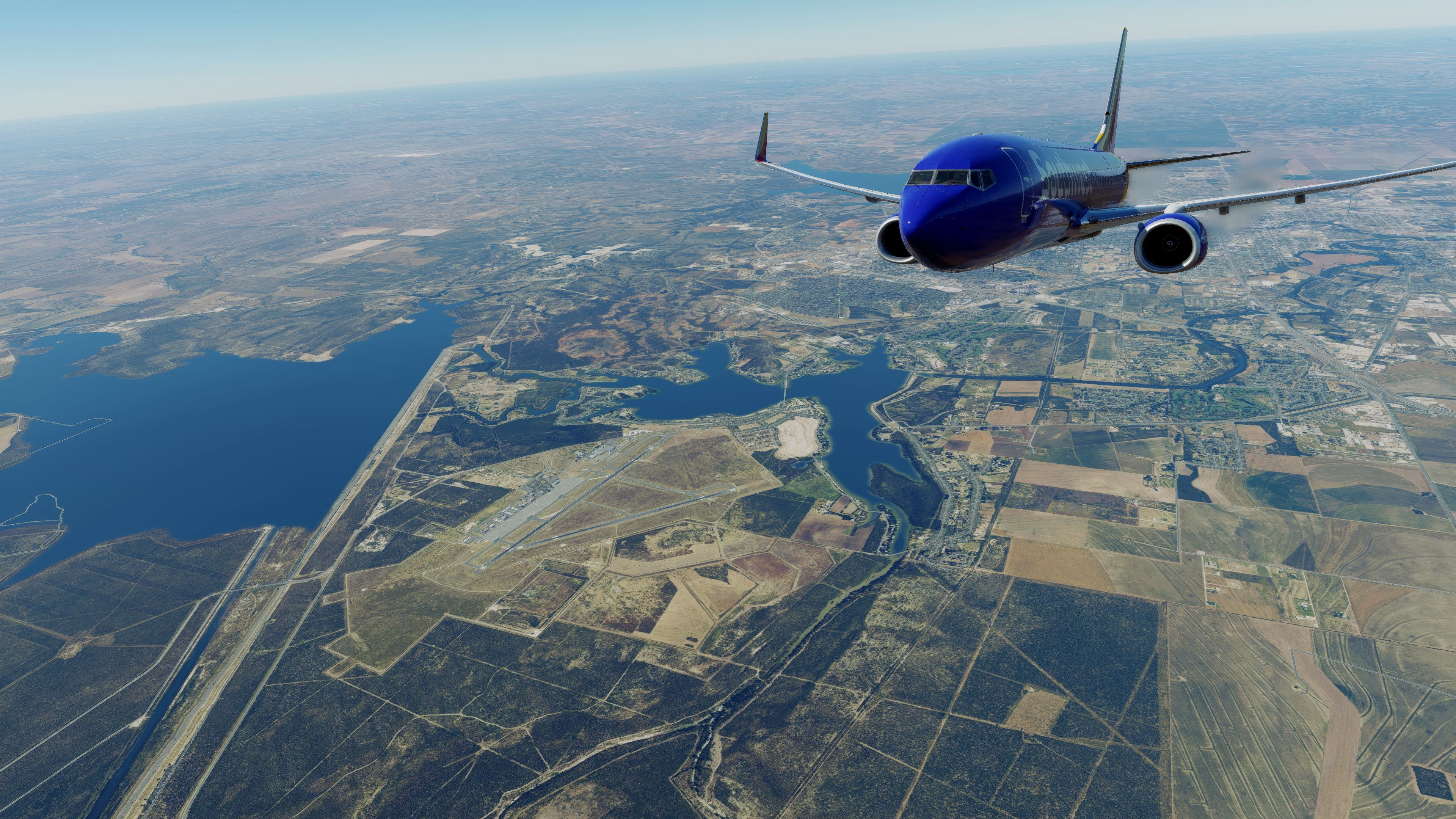
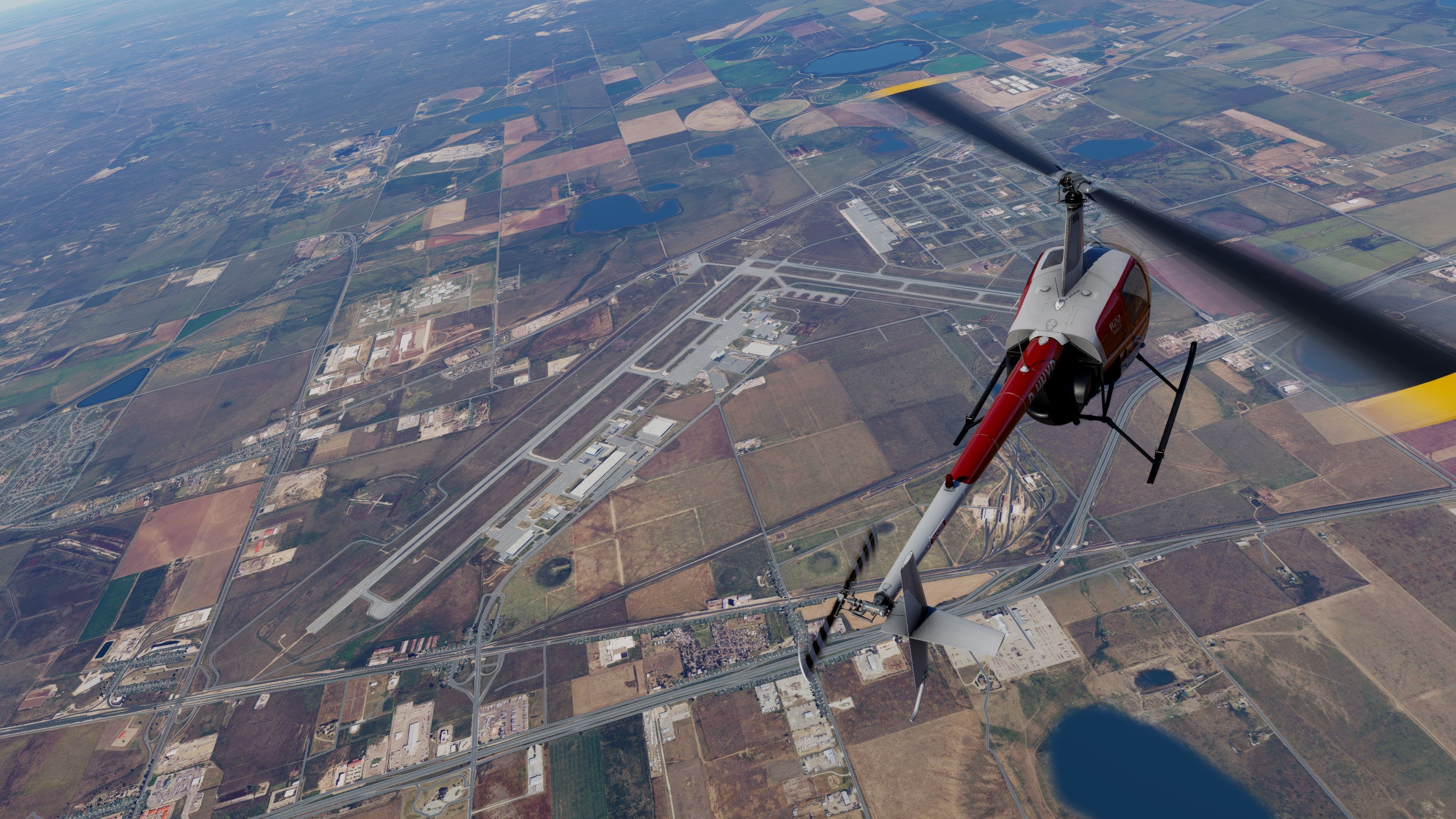
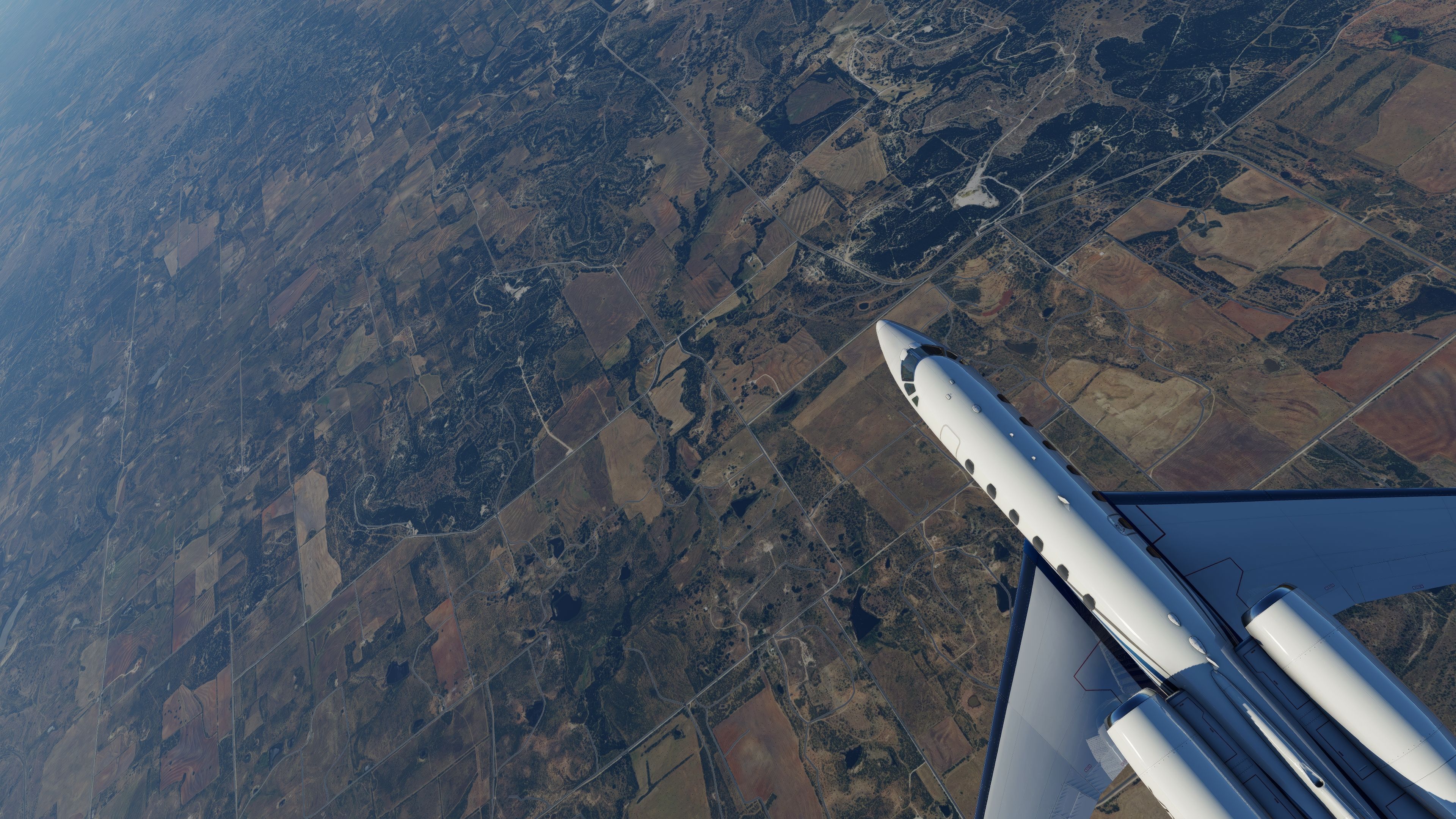
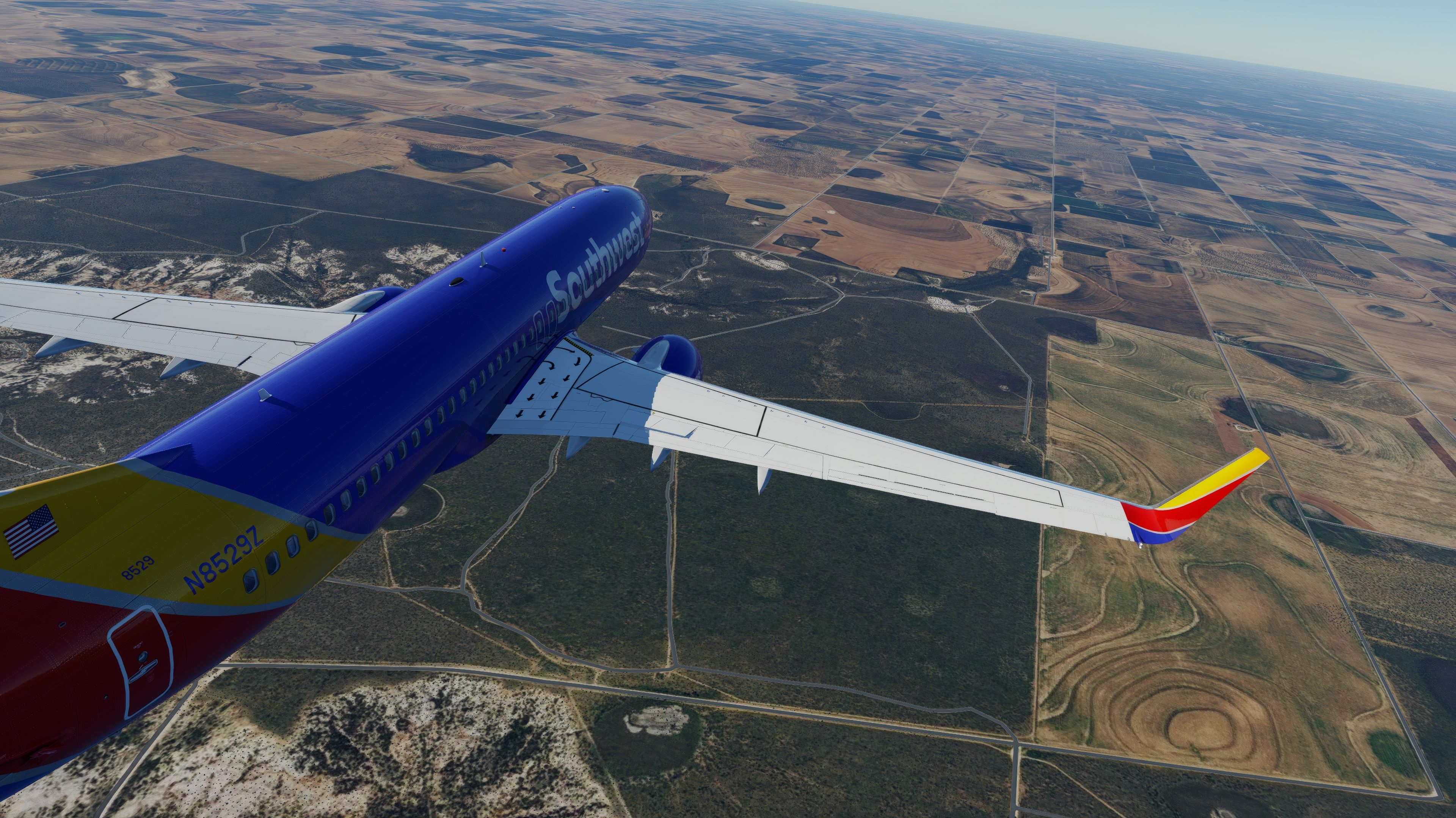
Texas Complete Photoreal (Ortho) Scenery brings statewide NAIP 2016 orthophotos and USGS elevation into X-Plane 11 and X-Plane 12, delivering crisp ground textures with Zoom Level 16 and extra detail near major airports. True inland water, complex masks, terrain decals, and prebuilt DDS tiles create seamless, lifelike VFR routes from DFW to Big Bend.
 Video preview
 5/5
(4)
907 downloads
X-Plane 12
5/5
(4)
907 downloads
X-Plane 12  X-Plane 11
- File: texas-ortho-complete-xp.zip
- Size:108.37 GB
- Scan:
Clean (12d)
- Access:Freeware
- Content:Everyone

Expert Overview
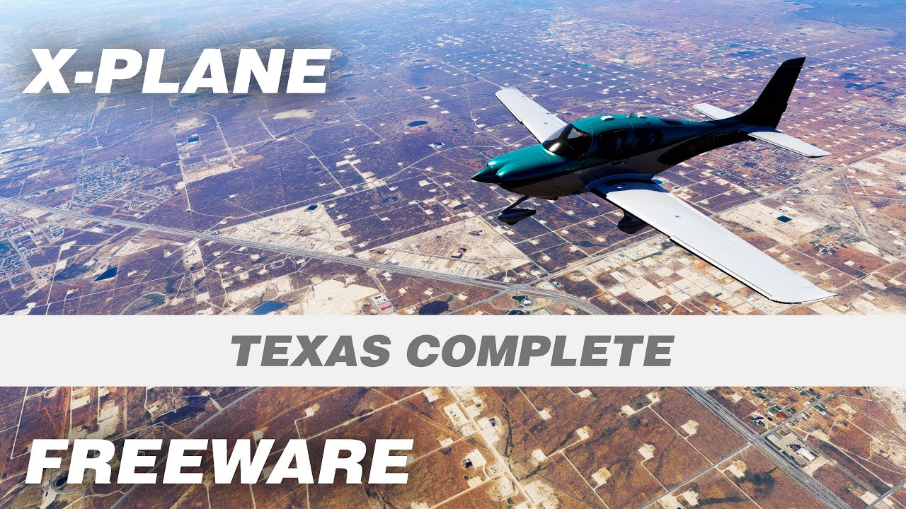
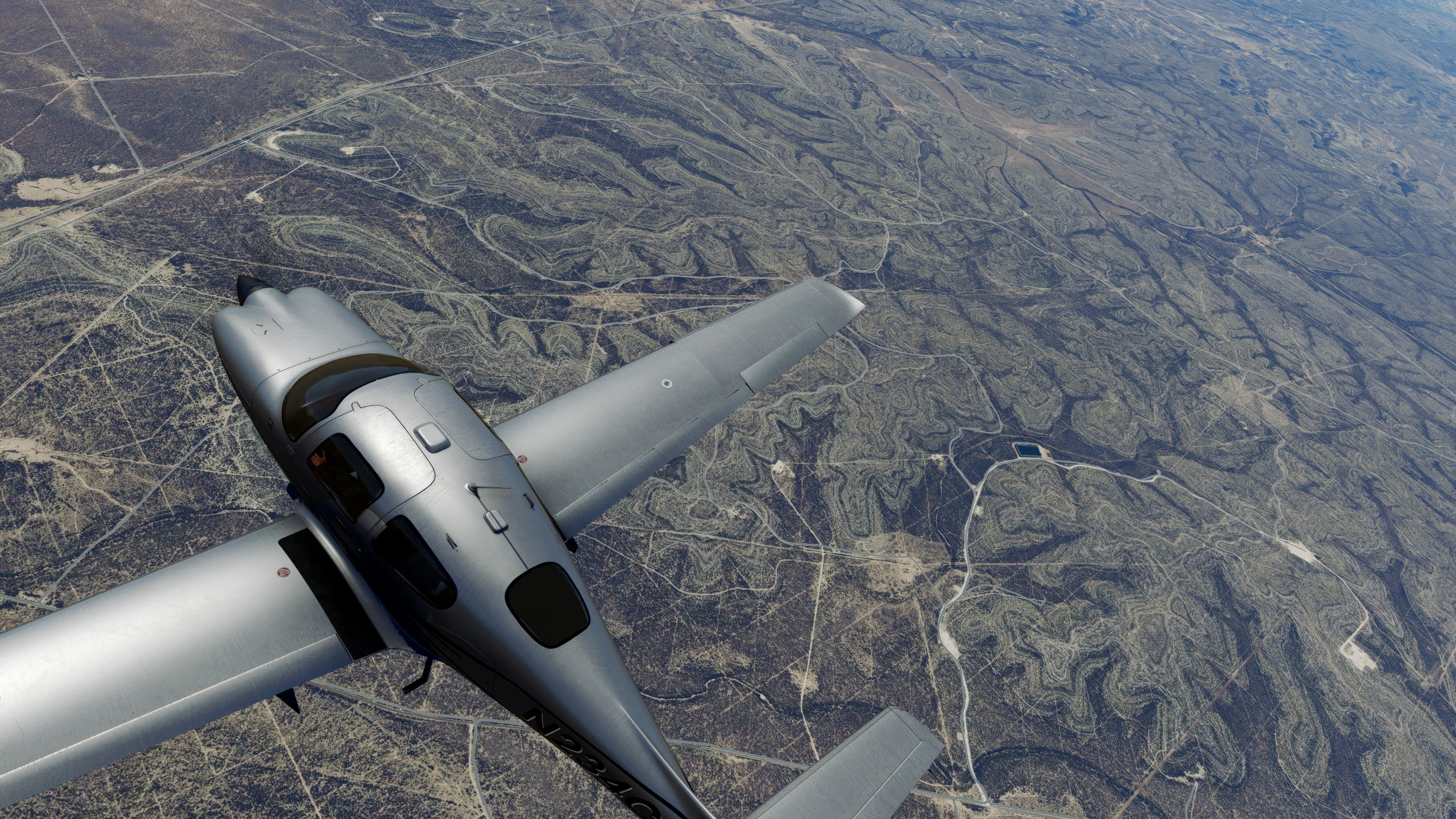
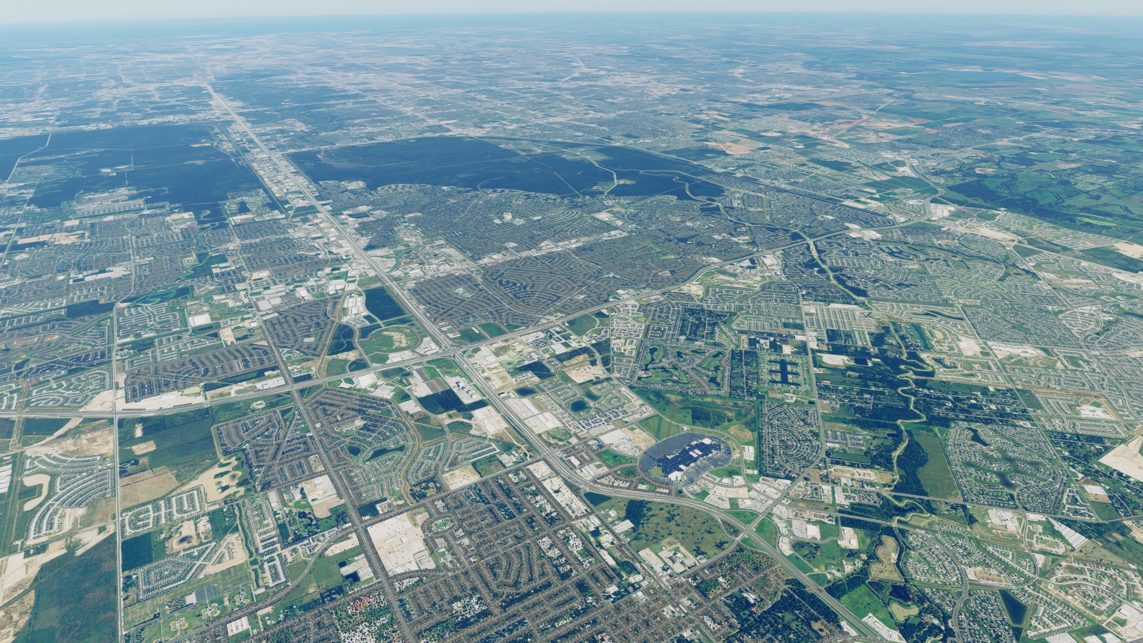
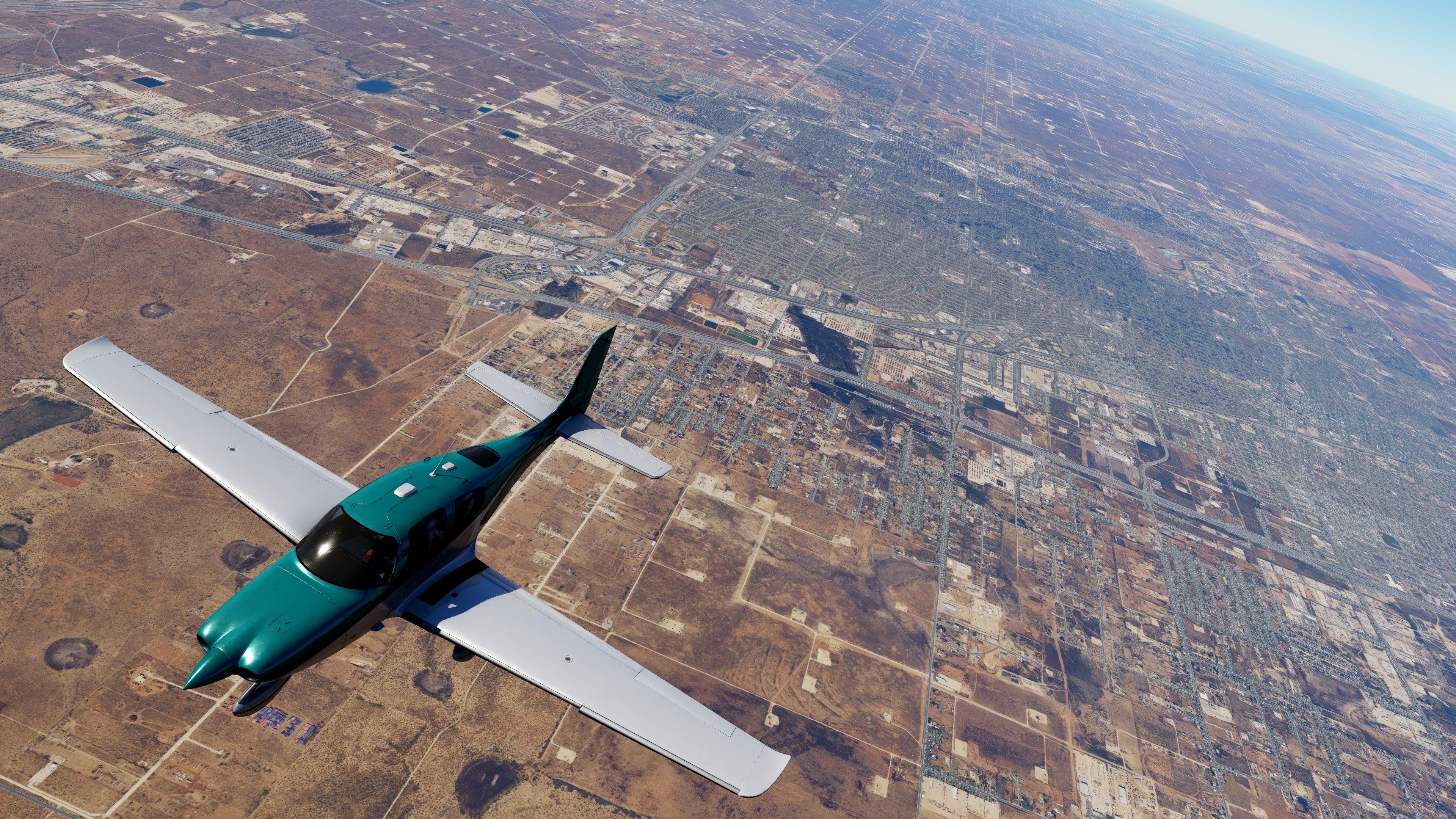
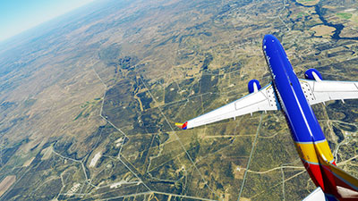
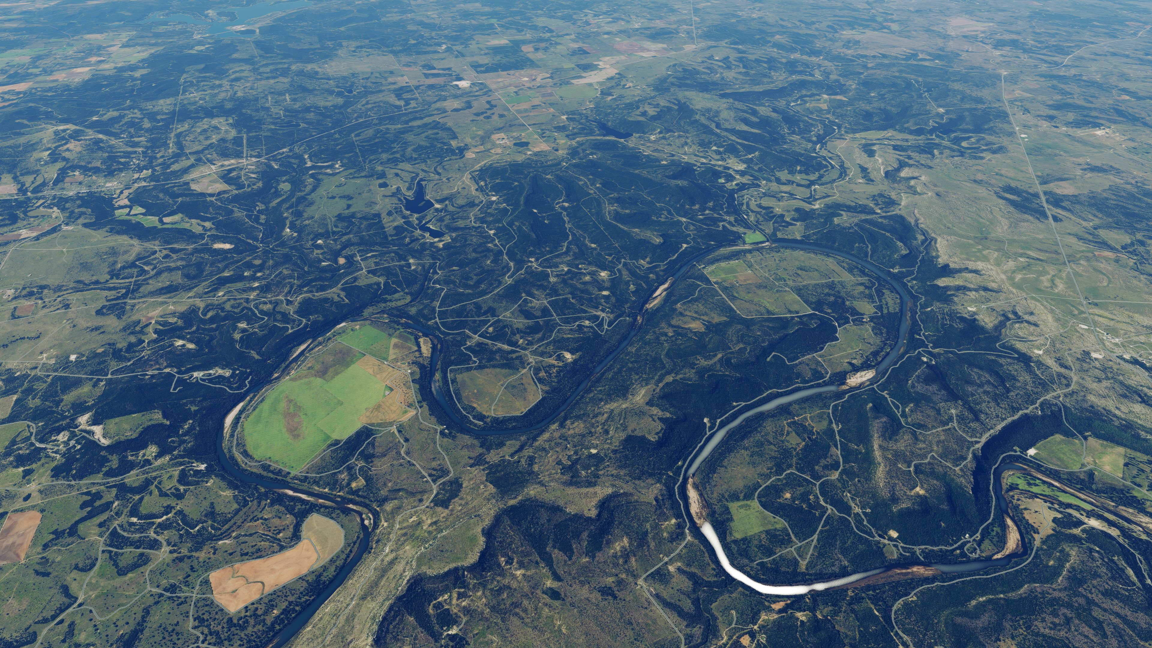
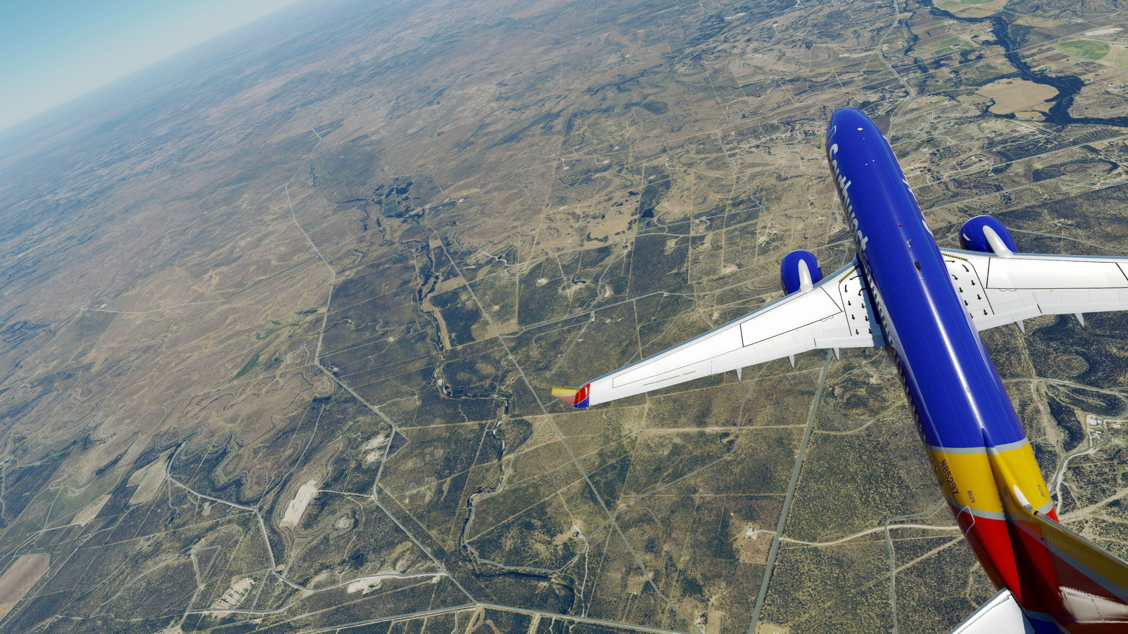
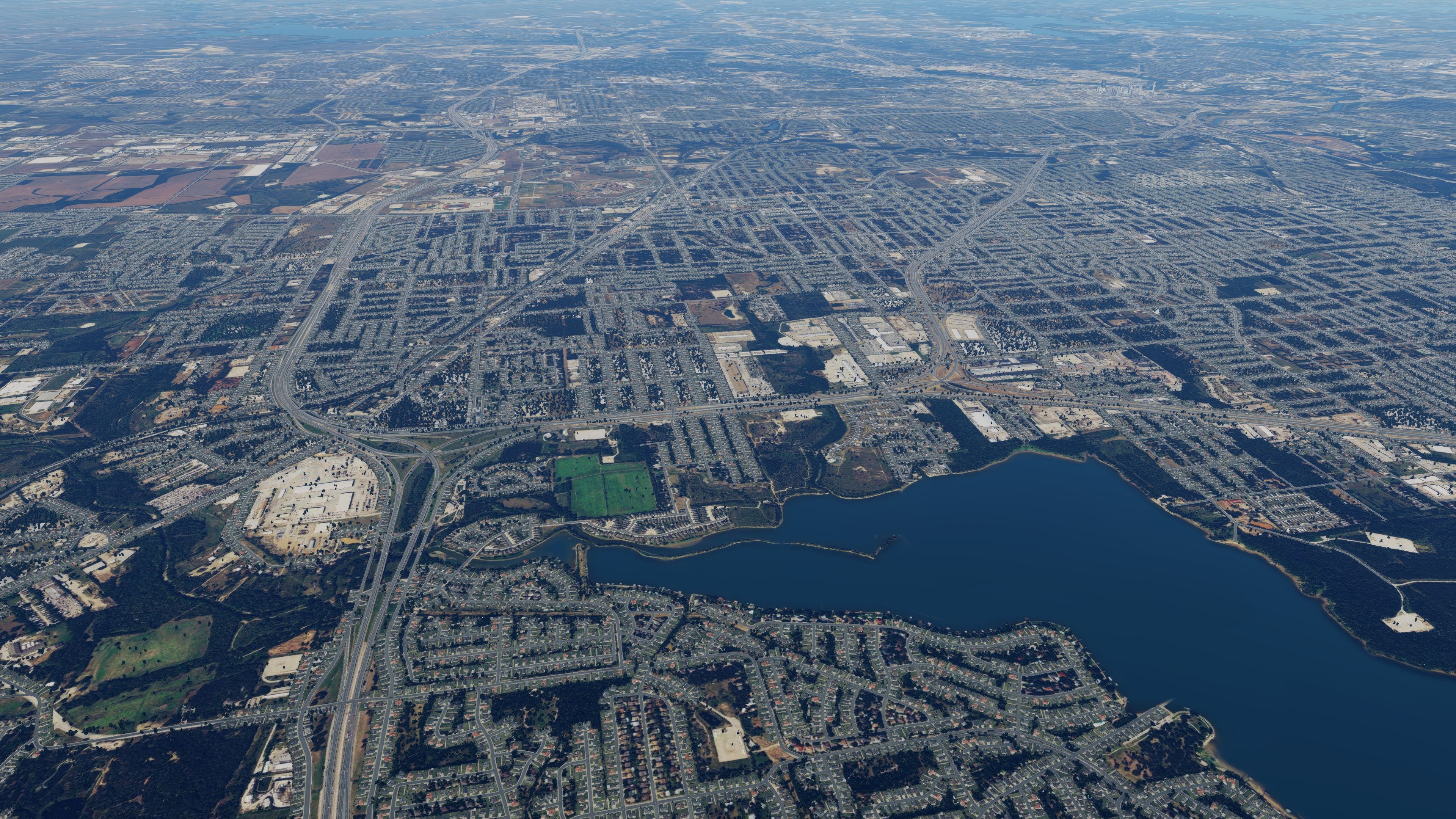
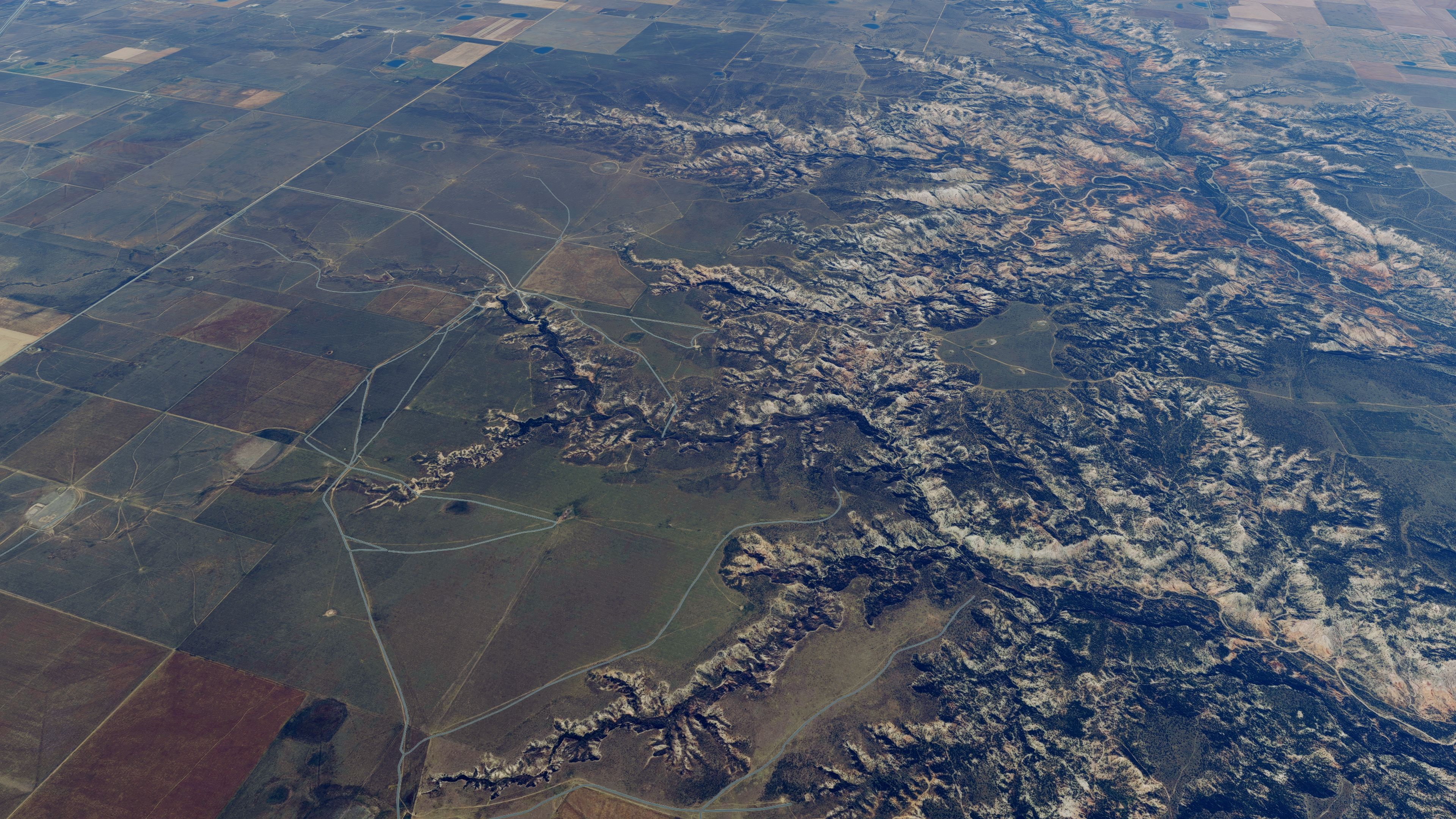
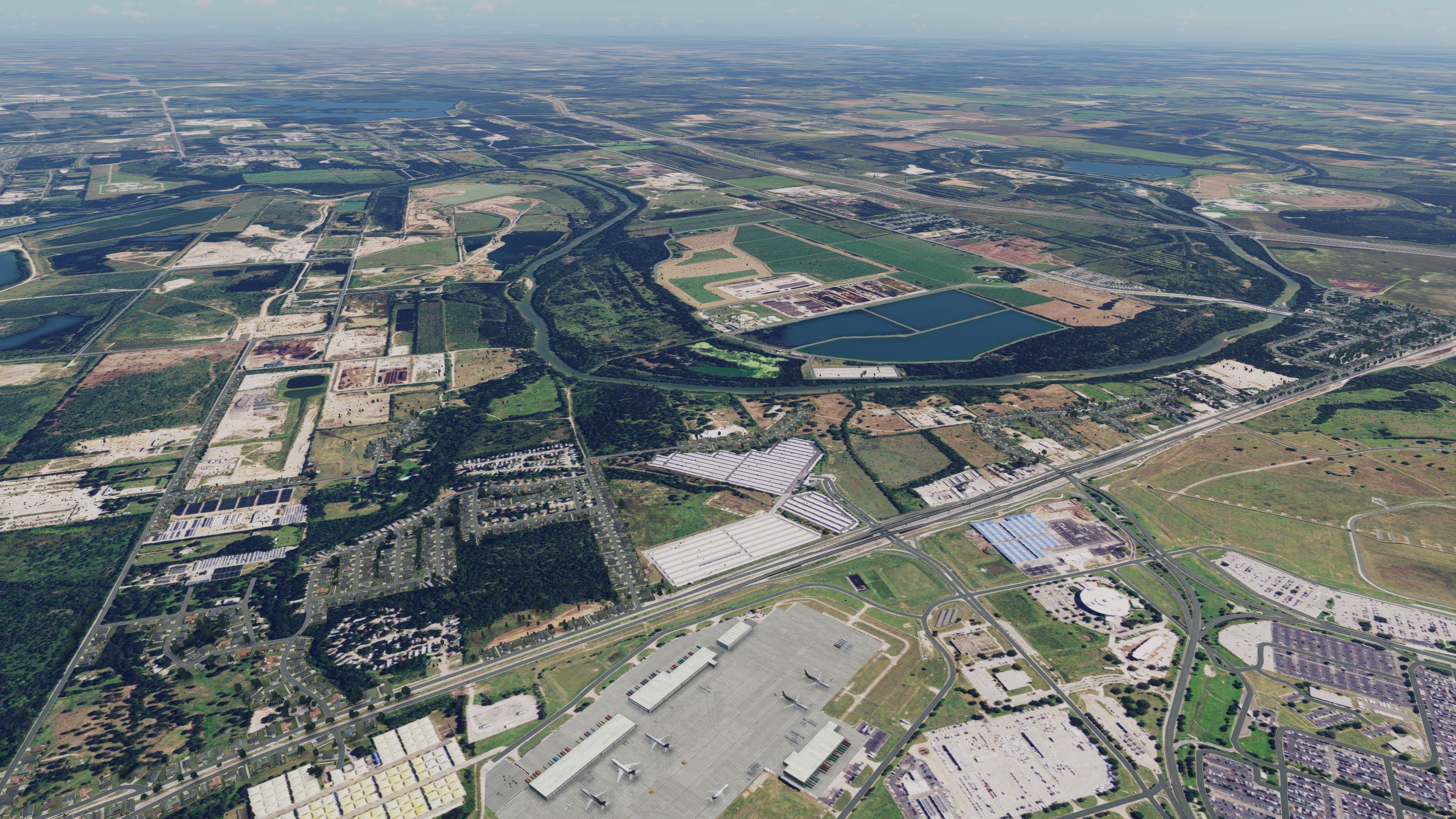
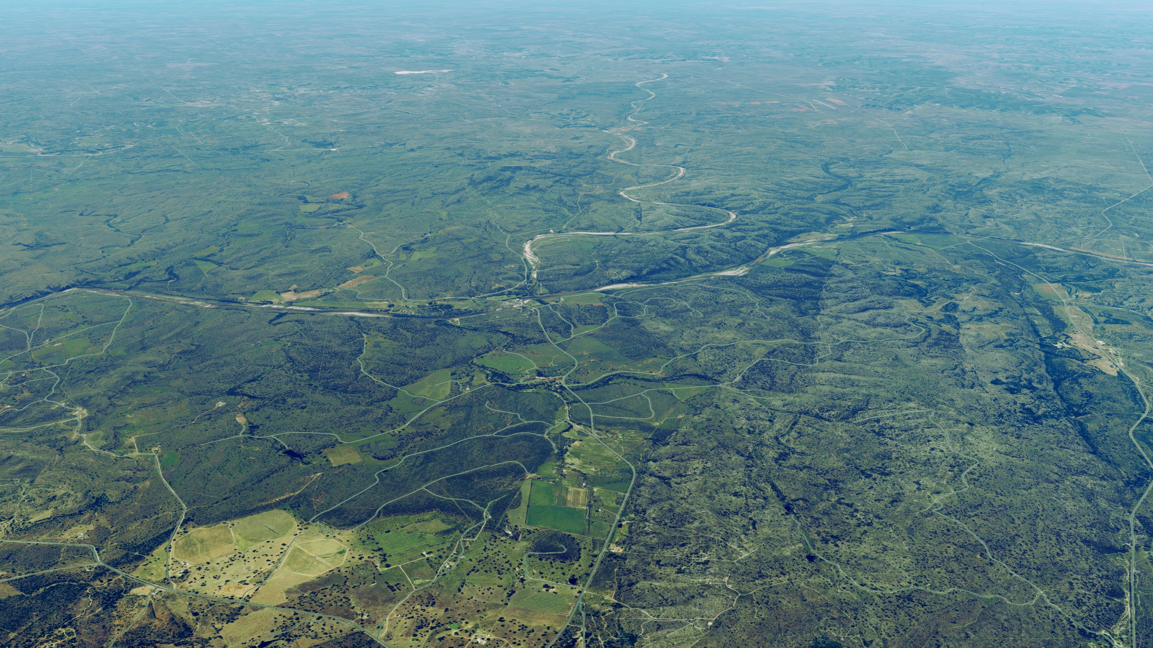
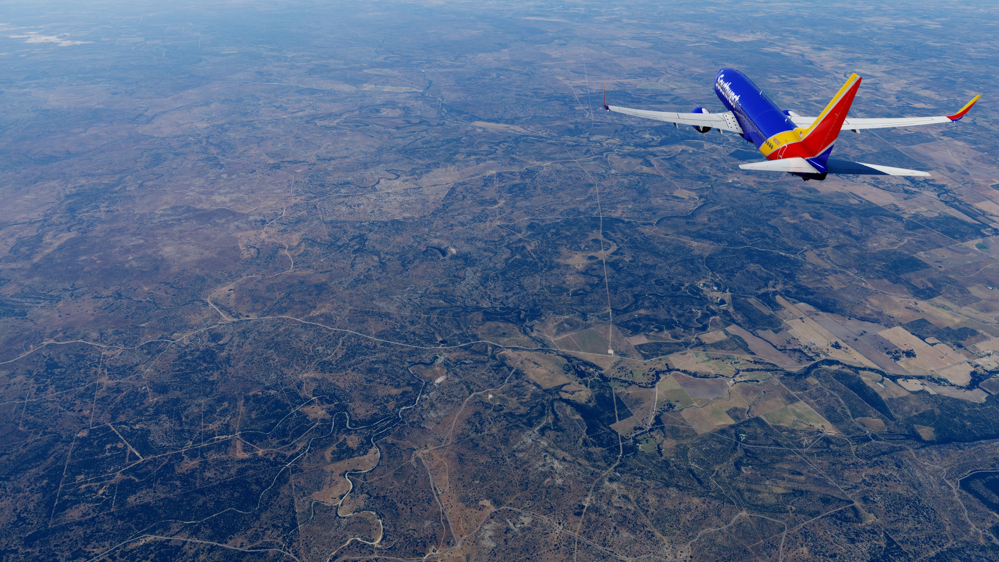
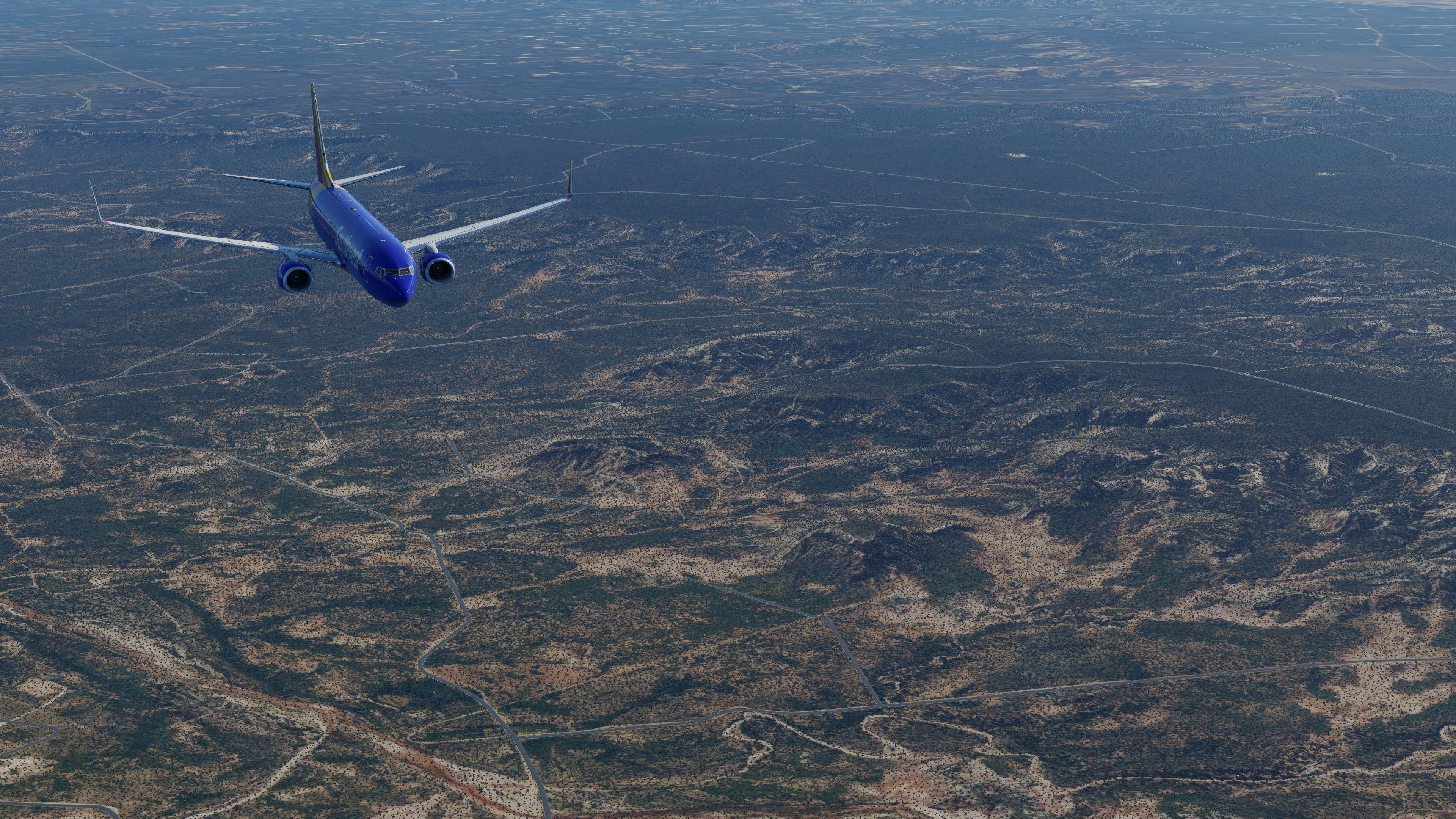
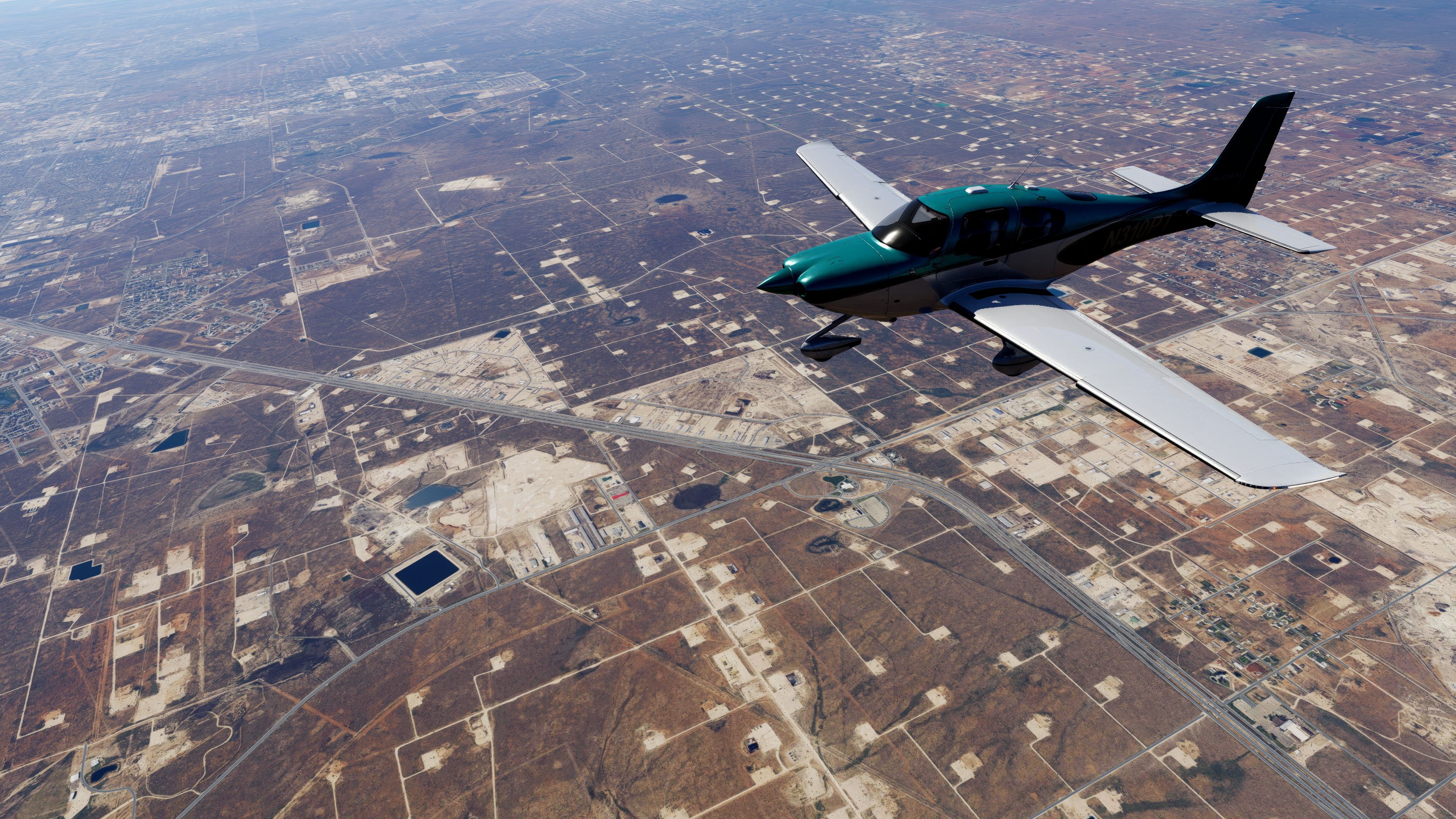
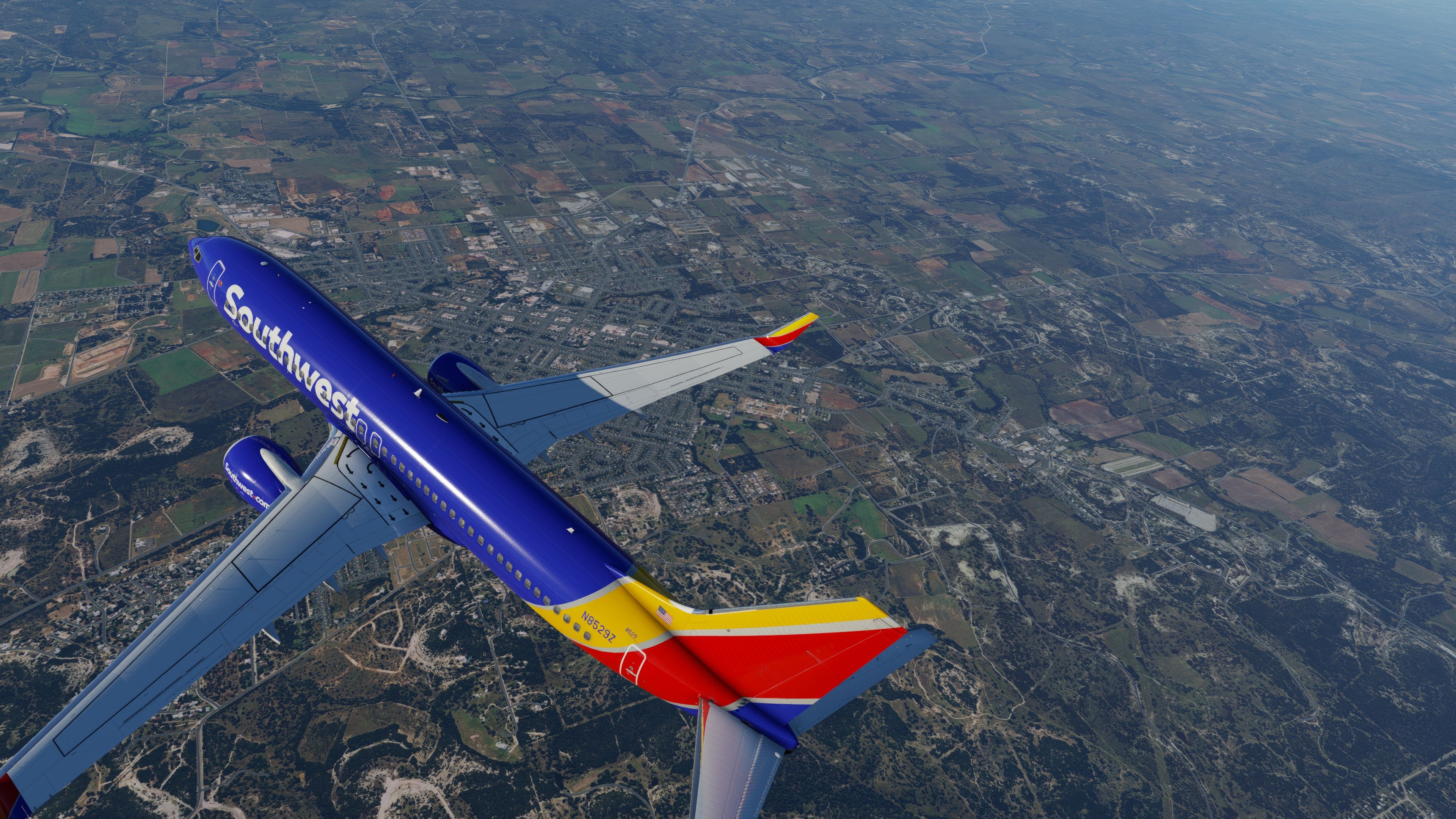
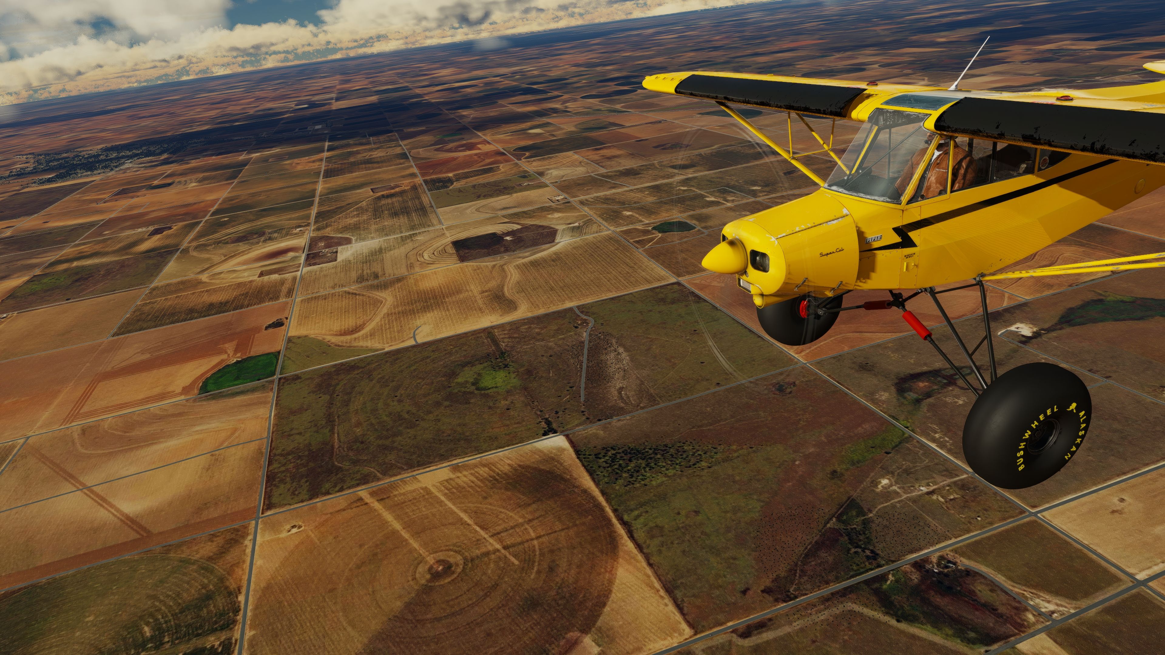
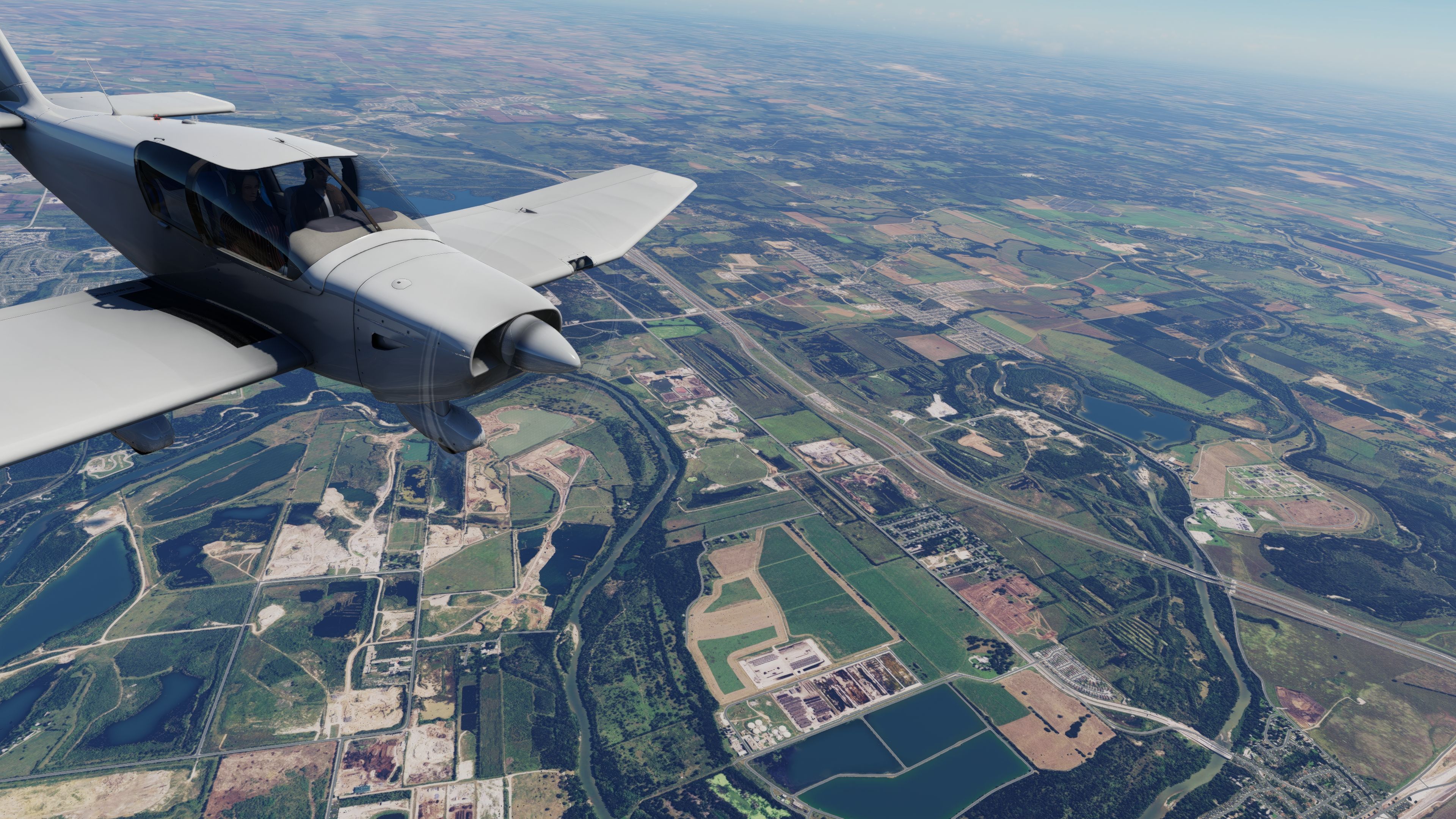
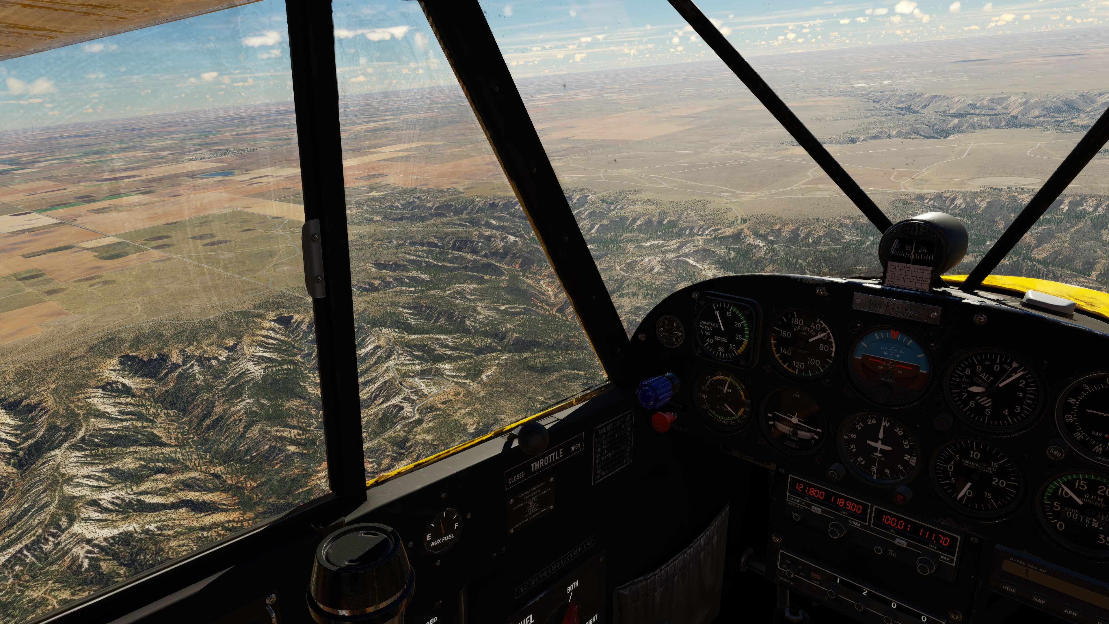
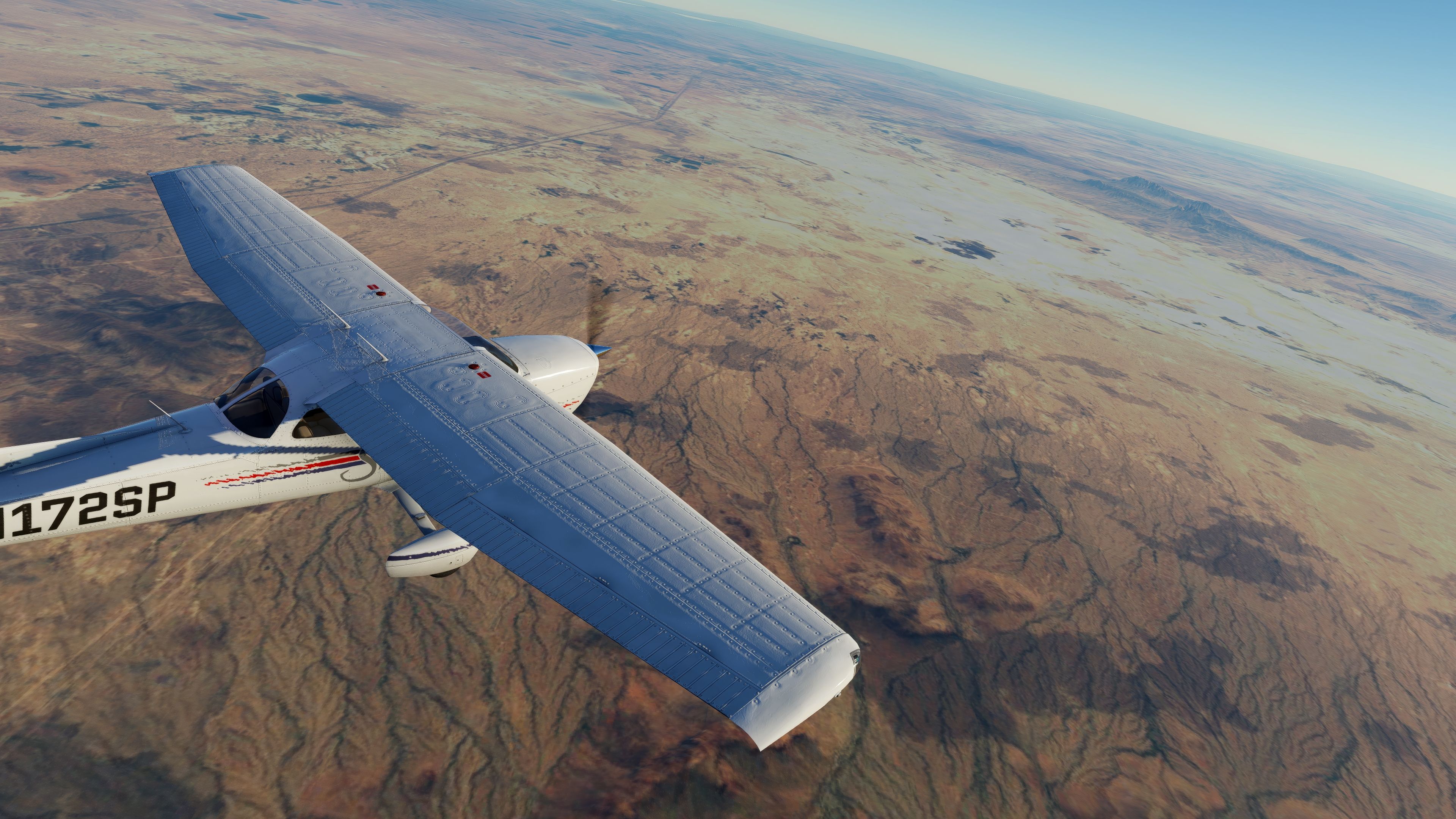
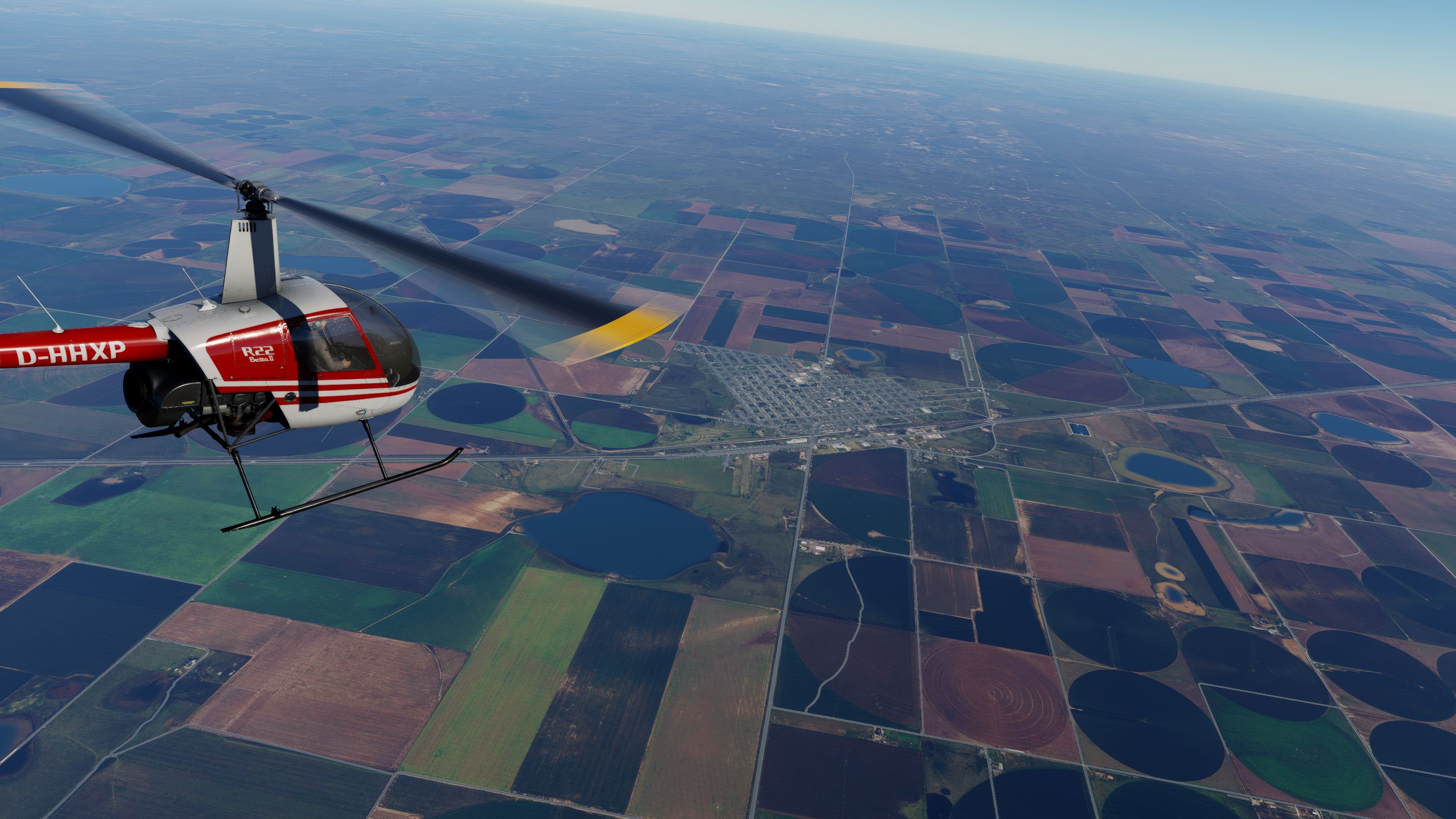
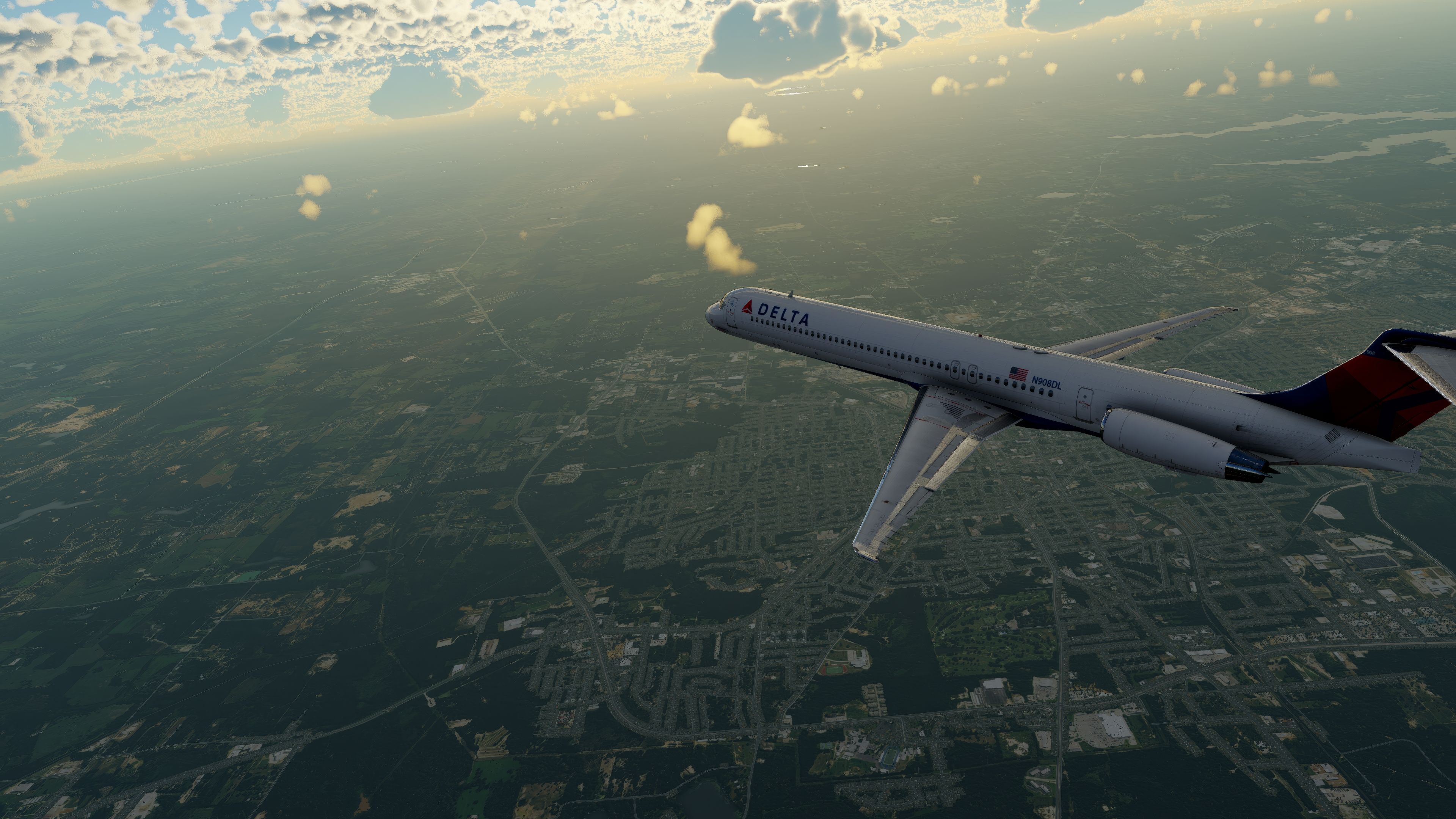
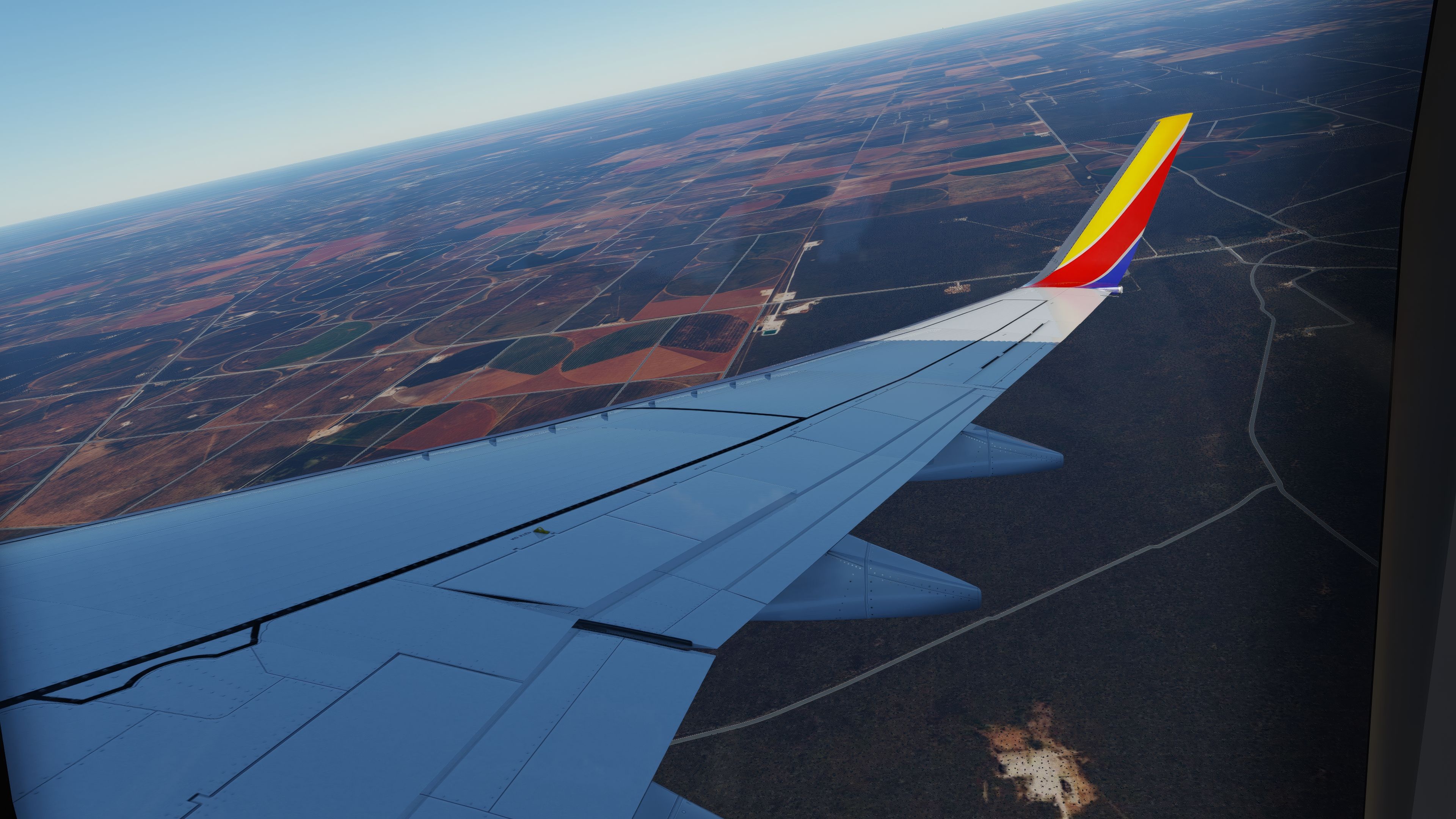
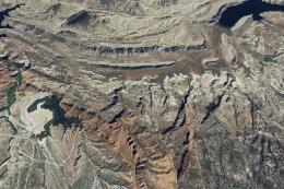
Texas Complete Photoreal (Ortho) Scenery delivers a sweeping aerial depiction of the Lone Star State in X-Plane 11 and 12, harnessing high-definition NAIP imagery to recreate Texas’s diverse terrain. From the low-lying coastal regions near Houston to the sprawling plains around Austin and Dallas/Fort Worth, this freeware mod integrates enhanced terrain adjustments such as Complex Water Masks and detailed decals, ensuring a strikingly authentic flying experience. Pre-compiled DDS textures simplify performance, while precision-level Zoom Level 16 and increased coverage around major airports make every approach feel stunningly lifelike.
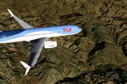
Whether you’re drawn to big-city skylines like Houston or crave the rugged canyons near Big Bend National Park, this comprehensive pack provides a meticulously modeled environment that transforms each flight into a memorable journey. Having tested it extensively, I can confirm it blends seamlessly with advanced mesh packages, offers superb clarity around iconic landmarks like the Alamo, and stands out as an ideal choice for both casual simmers and veteran pilots looking to push the boundaries of realism in their virtual cockpit.
This mod was installed, tested and reviewed by Adam McEnroe for Fly Away Simulation. Adam is an FS mod expert. Read his bio here.
Embark on an unparalleled virtual journey across Texas with this comprehensive scenery pack for X-Plane. This freeware package utilizes high-resolution orthophotos from the US National Agriculture Imagery Program (NAIP 2016) and detailed elevation data from USGS, enhancing your X-Plane 11 and X-Plane 12 simulations with true-to-life landscapes.
With a focus on precision and realism, the pack includes advanced terrain adjustments like True Inland and Complex Water Masks, as well as gritty terrain decals.
Technical Details
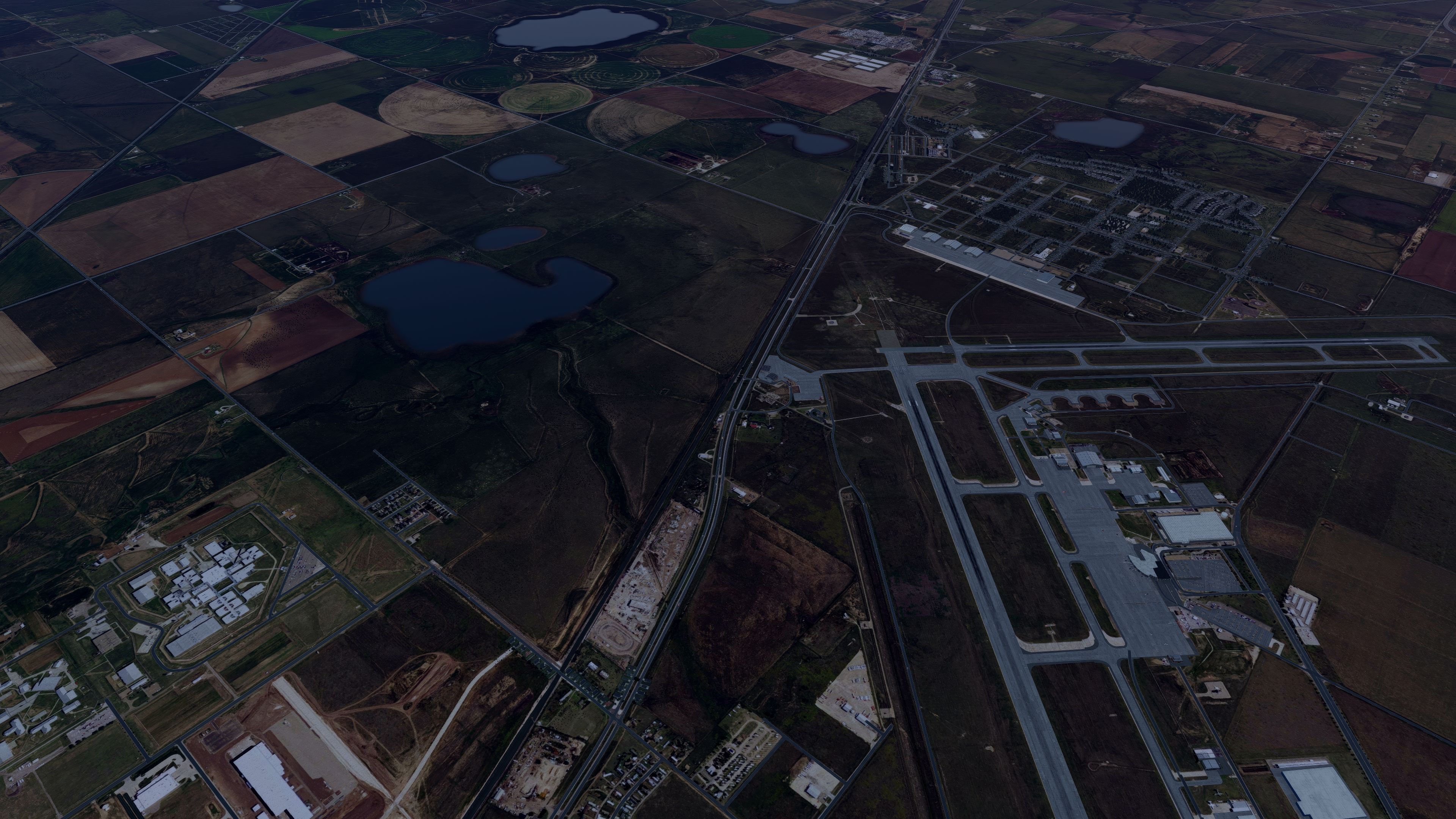
Experience stunning visual fidelity at Zoom Level 16, which increases to 17 within 6km of key airports, ensuring detailed airport approaches. The scenery integrates smoothly thanks to 7,414 pre-compiled DDS files, offering a seamless experience in X-Plane, with no additional conversions needed.
Strategic Airports for Enhanced Exploration
Fly out of strategically placed airports to fully experience the vast Texas landscape:
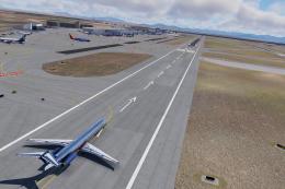
- Dallas/Fort Worth International Airport (DFW): Start your journey over northern Texas's rolling plains.
- Austin-Bergstrom International Airport (AUS): Ideal for flying over central Texas's scenic hill country.
- San Antonio International Airport (SAT): Perfect for accessing southern Texas's historic landscapes and coastlines.
- El Paso International Airport (ELP): Explore the rugged terrains and desert vistas of western Texas.
Iconic Texas Landmarks
The X-Plane Texas scenery is rich with iconic landmarks that offer unique flying experiences:
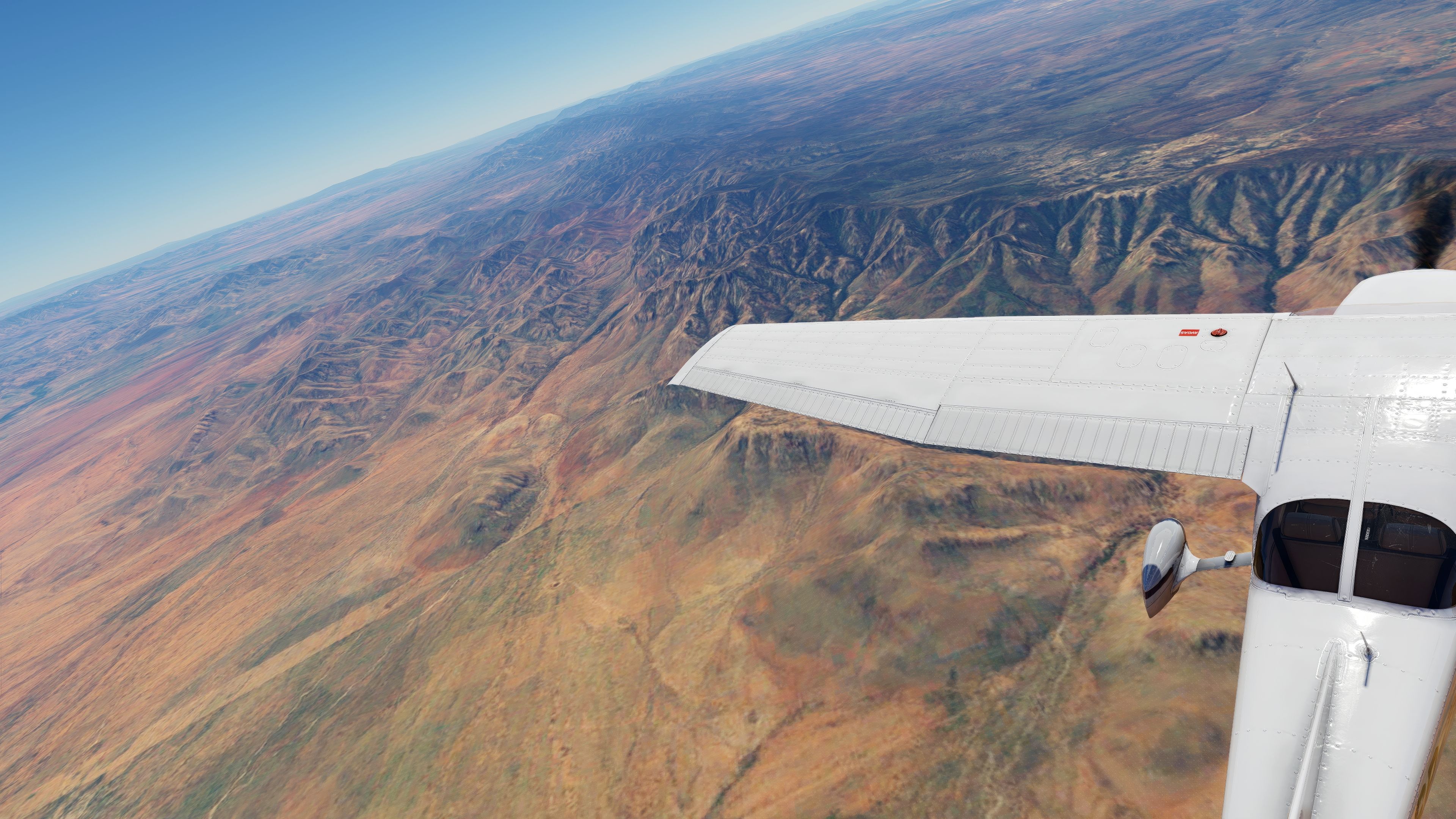
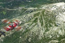
- Big Bend National Park: Navigate through vast desert landscapes and dramatic canyons that challenge even experienced pilots.
- Houston Skyline: Maneuver around the bustling metropolis with its towering skyscrapers and urban sprawl.
- The Alamo: Fly over this historic site in San Antonio, beautifully detailed to showcase its importance in Texan heritage.
- State Capitol in Austin: Admire the architectural splendor of the Texas Capitol building, rendered with high fidelity.
Enhancing Your Simulation
Enhance this scenery with the HD and UHD Mesh from AlpilotX for even more detailed terrain. These meshes add higher density and accuracy, perfect for any demanding simulation environment.
Understanding Orthophoto Scenery
Orthophoto scenery transforms real-world photos into the simulator, corrected for topographical distortions, providing pilots with an accurate representation of the earth’s surface. This technology ensures that every flight over the simulated area mirrors a real-world aerial experience.
Installation
Extract the archive and copy all folders inside the Scenery folder to your X-Plane custom scenery folder. Merge files with existing yOrtho4XP_Overlays if necessary.
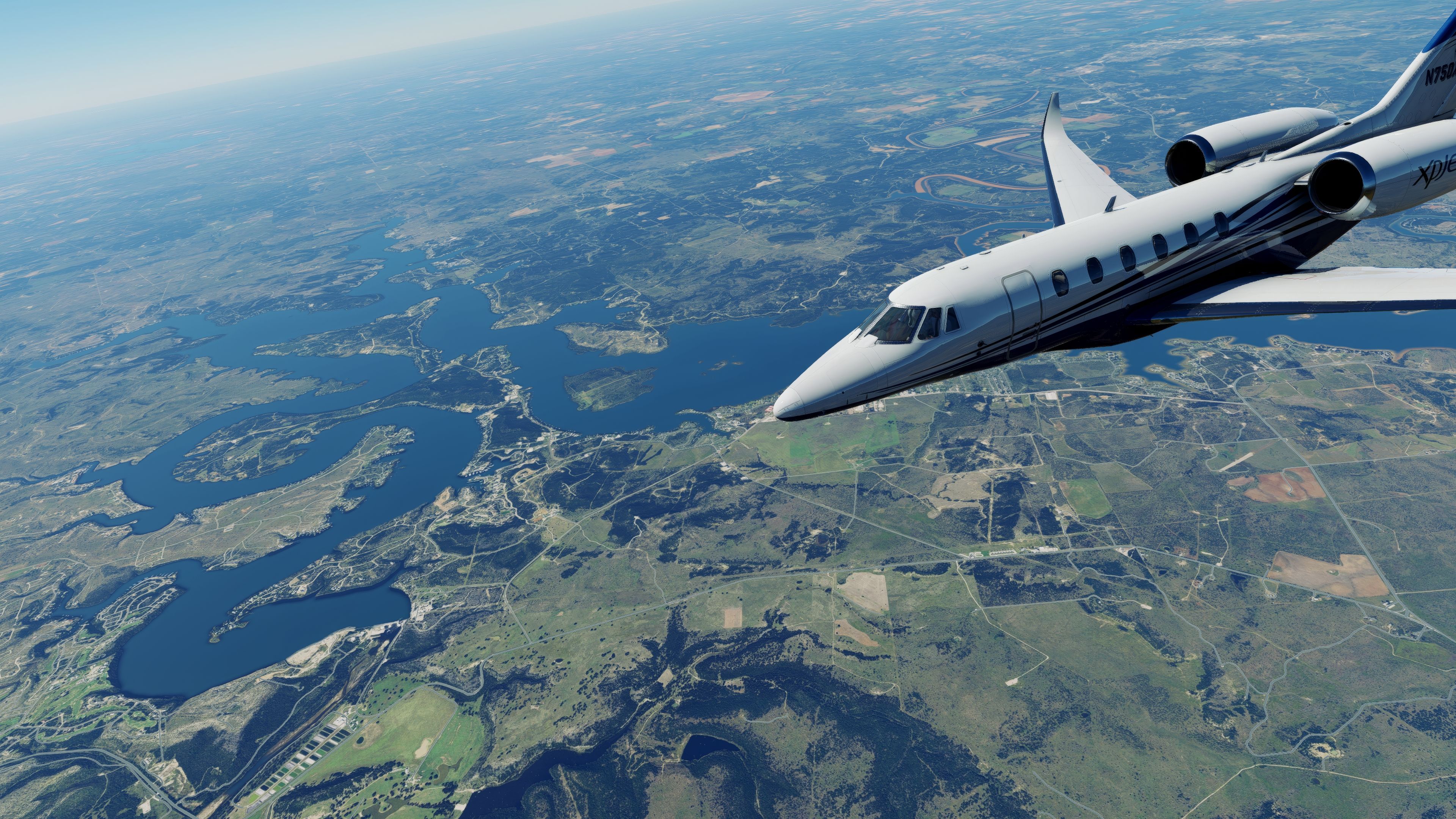
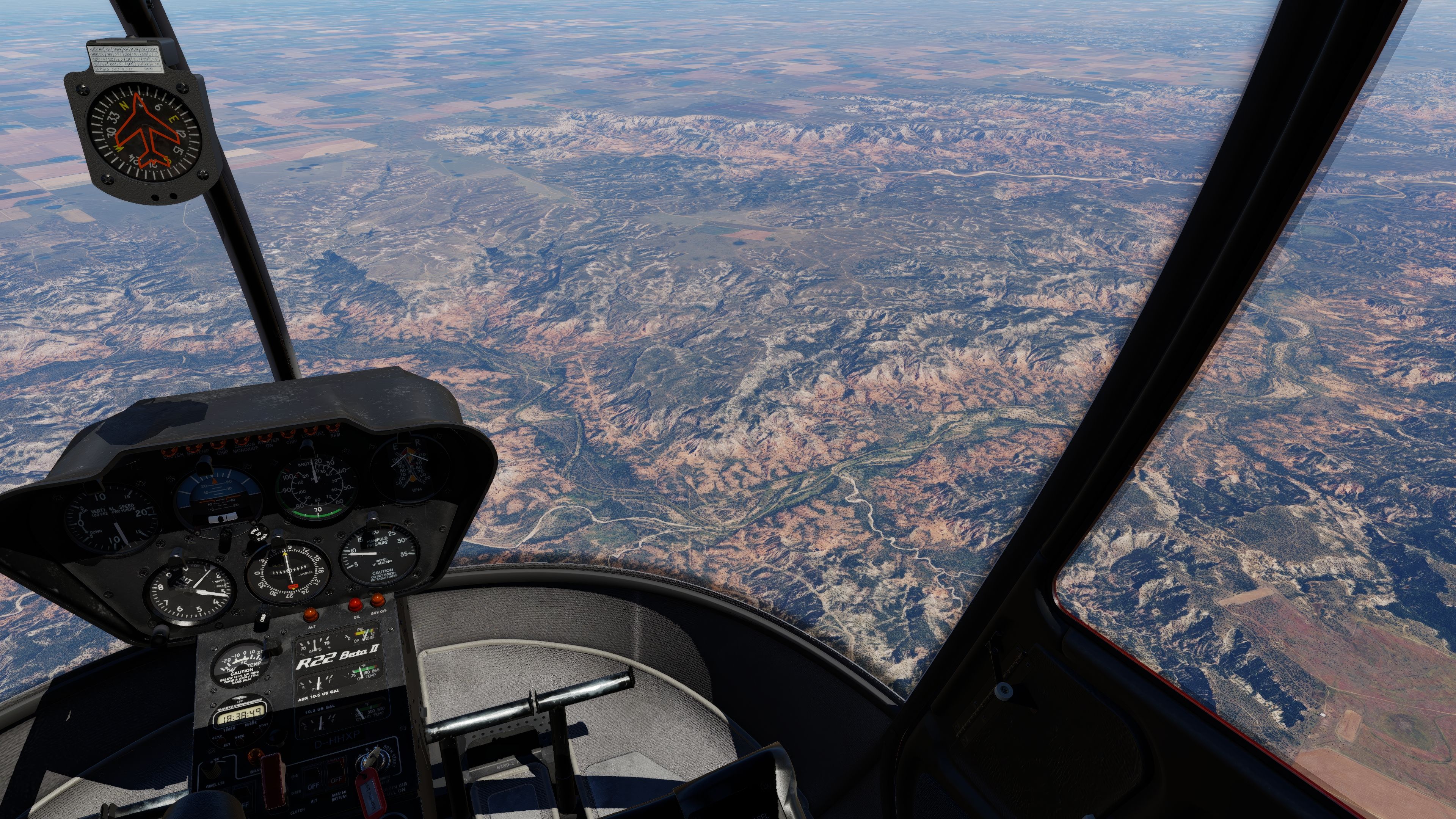
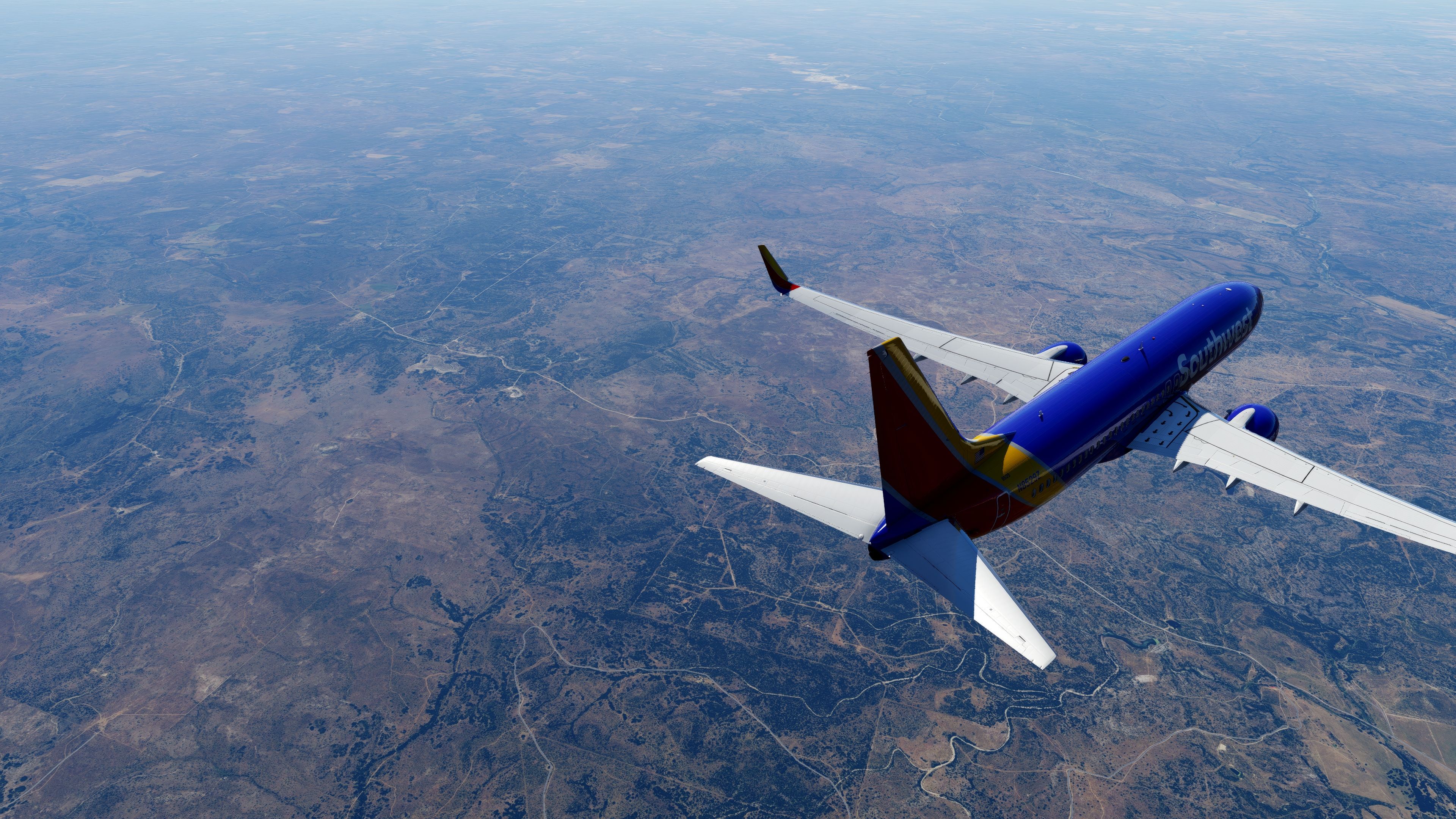
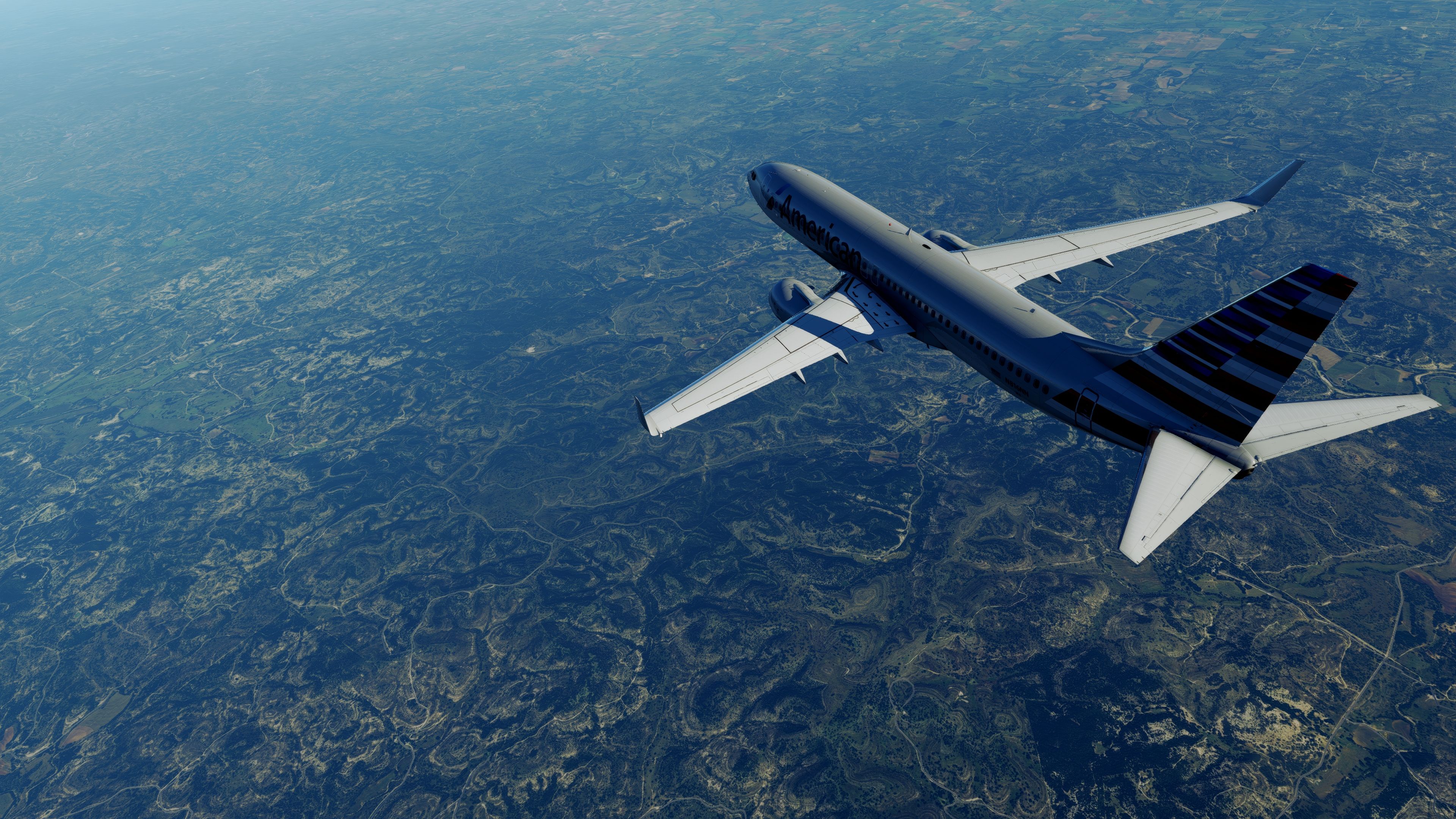
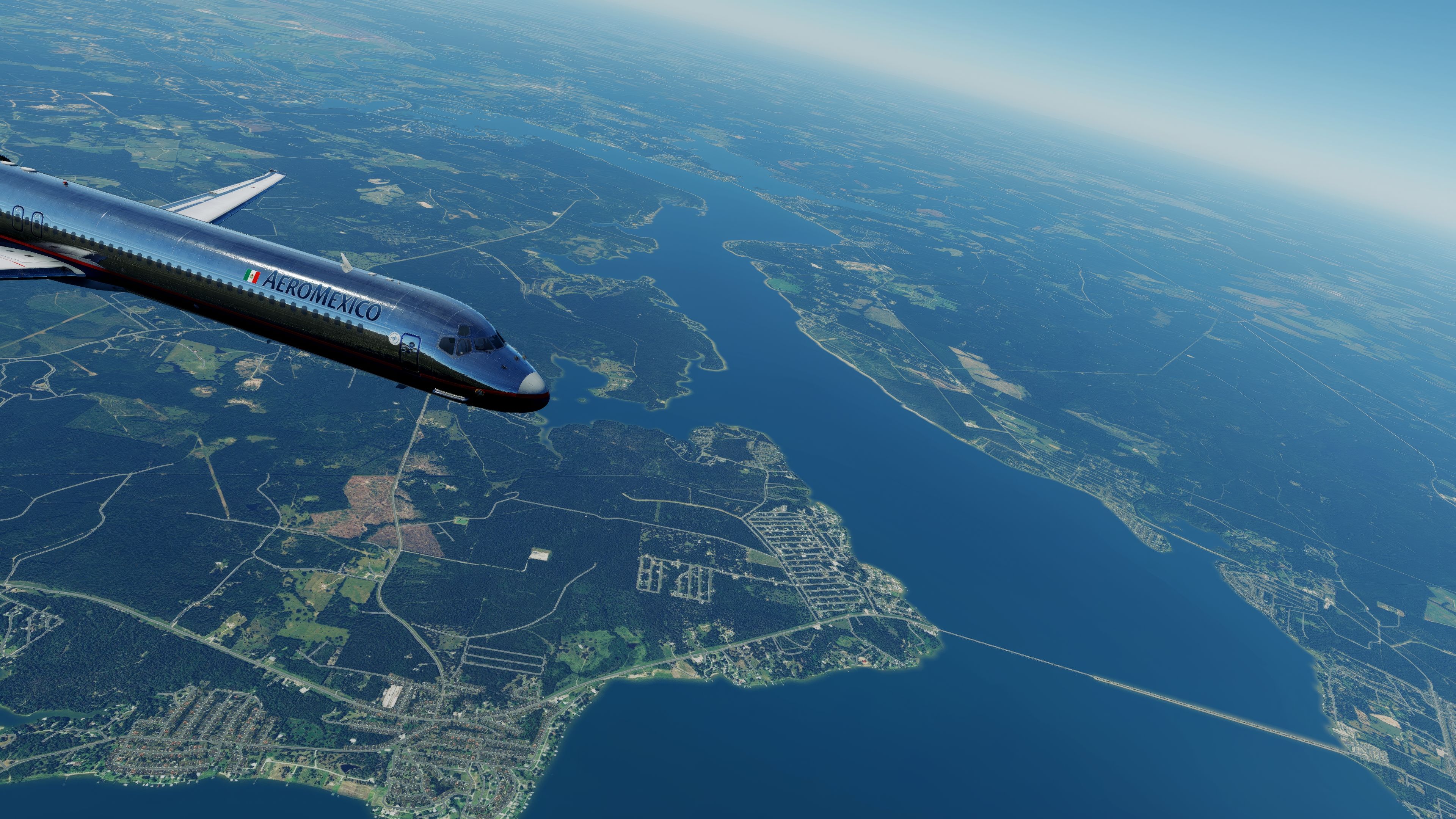
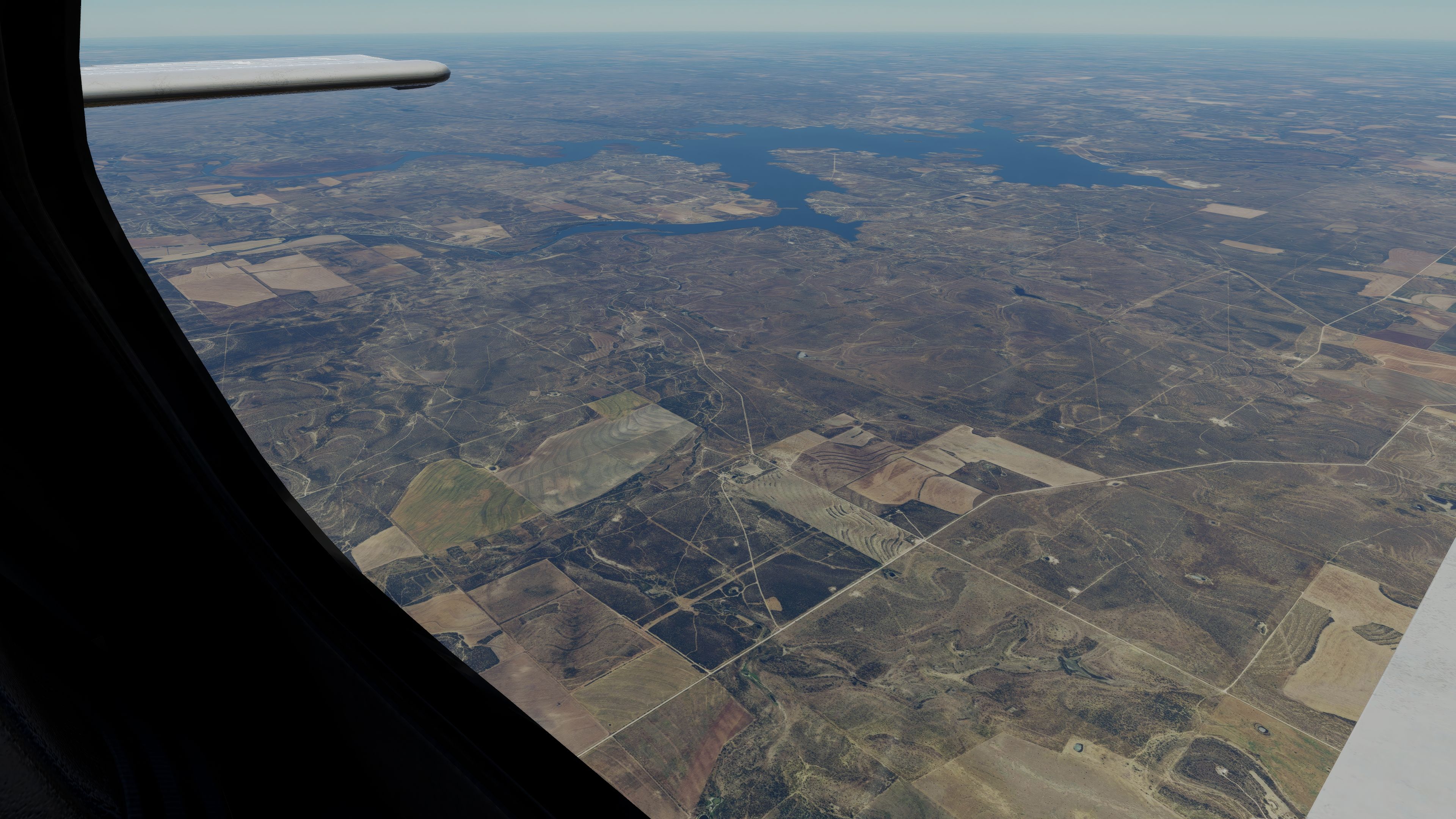
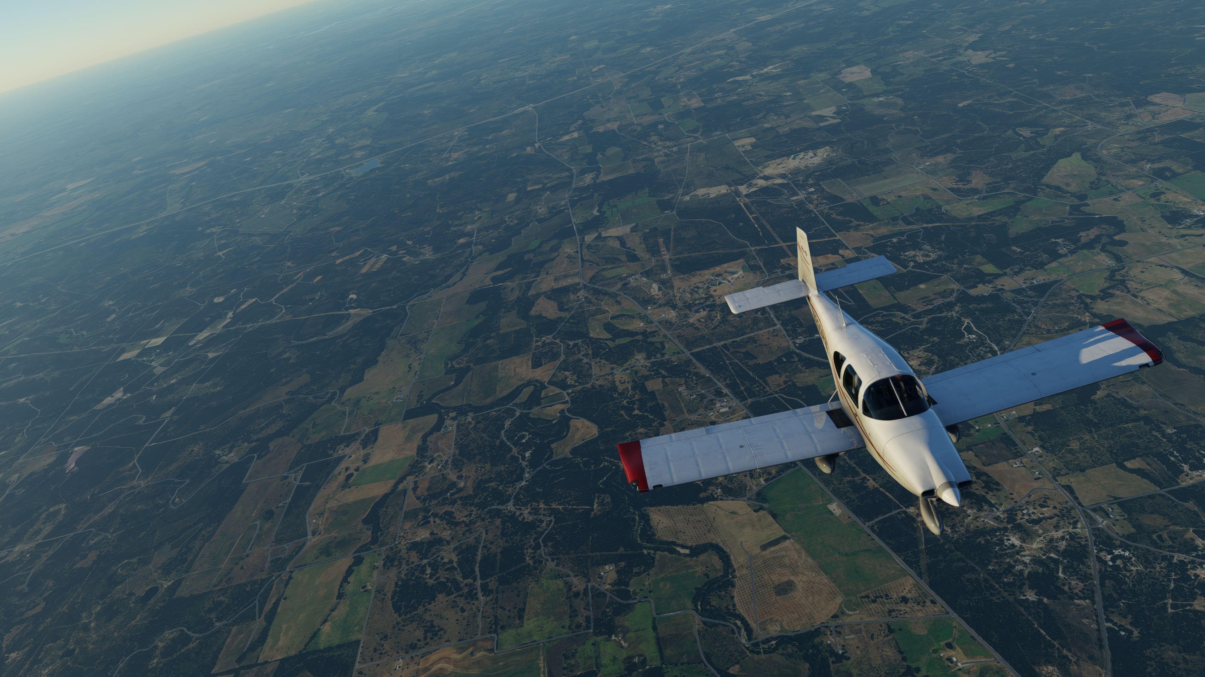
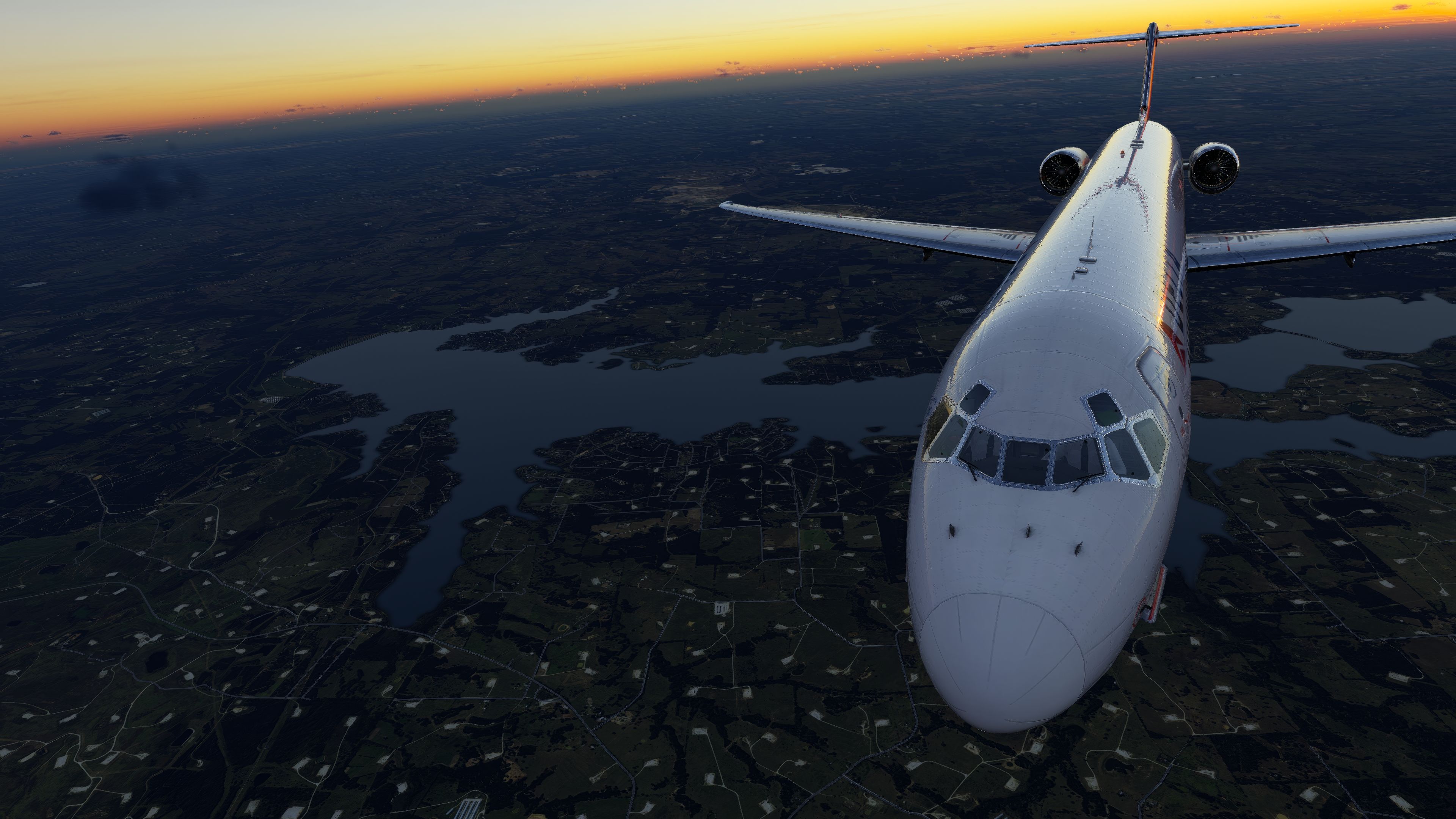
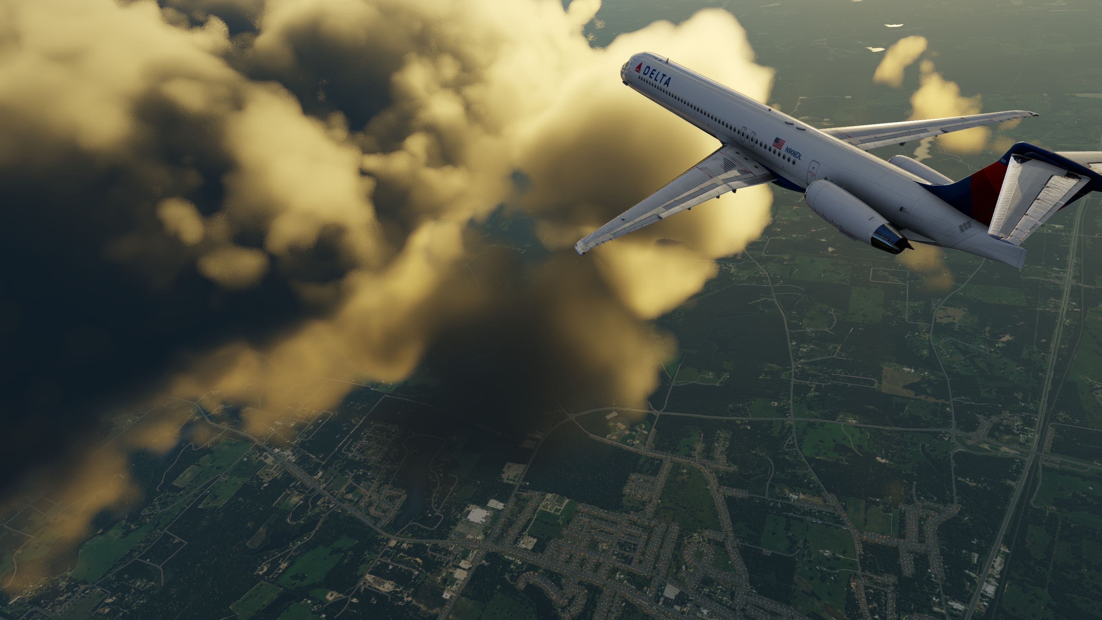
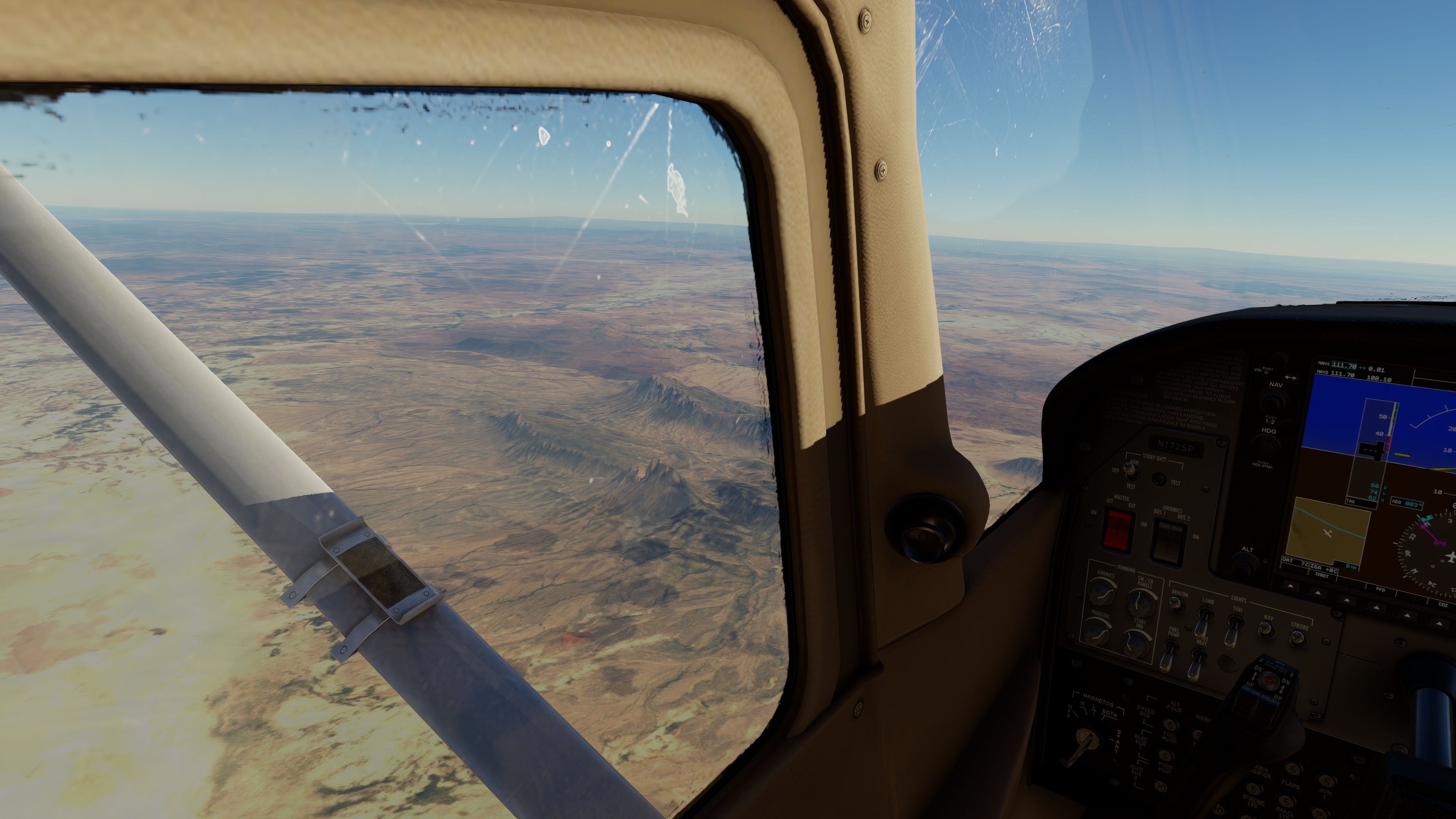
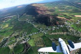
Images & Screenshots
Installation Instructions
Most of the freeware add-on aircraft and scenery packages in our file library come with easy installation instructions which you can read above in the file description. For further installation help, please see our Flight School for our full range of tutorials or view the README file contained within the download. If in doubt, you may also ask a question or view existing answers in our dedicated Q&A forum.


1 comments
Leave a ResponseThe content of the comments below are entirely the opinions of the individual posting the comment and do not always reflect the views of Fly Away Simulation. We moderate all comments manually before they are approved.
I have downloaded this and installed, but it does not give me the true look of East Texas. I have installed it exactly as per instructions.
Can you please help me get this installed in
X-Plane 11? Thank you.