This category covers expansions, mods, and add-ons that improve, replace or add extra scenery areas to your copy of X-Plane 12 or X-Plane 11 (or XP12/XP11 as it's known in the community).
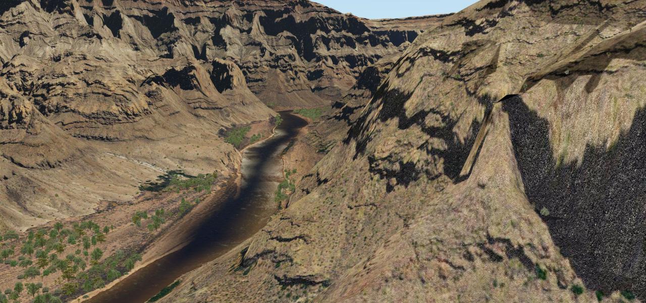
Screenshot showing the Arizona photoreal scenery in X-Plane.
Covered here are small airfields that the developers may have missed out on the default release because of development resource limits all the way up to large international airports that are already included but provide a better, more accurate, and detailed representation of them.
Also included are highly detailed photoreal packages that replace the stock ground terrain with real photographic images from satellite data. These files are usually very large and may take a long time to download on a standard Internet connection. Having said that, the wait is worth it because the level of detail is stunning and once you've used photoreal you won't go back to the default.
Adding these files is a great way to expand upon the default installation. All of the files are compatible with any platform that runs X-Plane. If you are already running X-Plane 12 or 11 on your platform then these files will work without issue - they are universal.
Some of the scenery add-ons included in this category:
Worth noting is that all of the mesh add-ons released by the well-known AlpilotX can be found here. You can also find the UHD versions here. They are not included in this category.
Installation is easy and can usually be achieved with an unzip and simple drag-drop into your X-Plane folders. Most (if not all) of the files come with detailed installation instructions.
Browsing the category is also simple - you can sort the files using the handy "sort by" feature below. Enjoy the scenery!
X-Plane 12 Coverage
Most of the scenery packs (especially orthophoto/photoreal) covered here work out of the box with the latest X-Plane 12 release of September 2022. While we are still updating the individual file listing descriptions, be sure to know they will work with X-Plane 12.

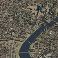
London's cityscape uses 960 objects anchored around EGLC and carries version 1.0, reflecting a focus on dense geometry to capture the metropolis's skyline, with deliberate emphasis on central distr…
 929.54 MB
 13.2KJul 2018
 4/5
4/5 40
40 Video
Video
Part 1 of a photoreal Western Alps by A Sky Story covers Lyon to Sion, featuring Mont Blanc and Chamonix, uses Ortho4XP and open-source satellite imagery; it uses zoom levels 17 and 16, but the hig…
39.84 GB11.1KMay 20194/543Video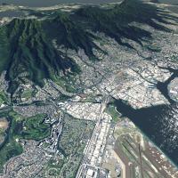
An orthophoto dataset covers Hawaii from Kauai to the Big Island with ZL 14 and ZL 16 imagery and full overlay coverage to align roads and shorelines. DDS-format files are pre-built for three itera…
7.4 GB7.7KMay 20214/535Video
SpainUHD by SpainUHD authors delivers a 90-tile ZIP archive covering the Iberian Peninsula and surrounding islands. Tiles render at dual zoom levels, 17 for the peninsula and 18 for the islands, wi…
315.98 GB6.1KApr 20194/541Video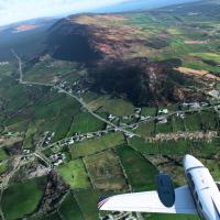
This orthophoto coverage spans the entire country of Ireland. The files come pre-built in DDS format, requiring no conversion, and the release works with both the original version and the latest it…
50.23 GB2.8KDec 20225/535Video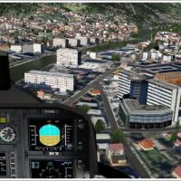
Gunther Kremp delivers a VFR-focused enhancement for the Innsbruck area and the Nordalpen corridor in Tyrol, Austria, featuring dense 3D object placement that enhances landmarks and terrain cues fo…
373.84 MB3.5KSep 20175/524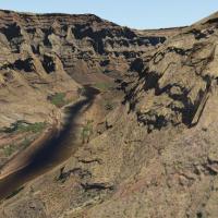
HD photoreal imagery of the Grand Canyon region is compiled by Ortho4XP and credited to Forkboy2, while Fly Away Simulation handles repackaging. The dataset sits at 100% zoom level 18, is pre-built…
90.01 GB17.5KSep 20194/560+Video
A photoreal data set covers Australia with Sydney in HD and regions across New South Wales, Queensland, Northern, South, and Western areas, using satellite imagery and Ortho4XP-derived data. DDS fi…
71.14 GB11.2KAug 20195/560+Video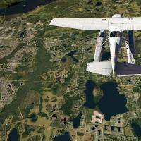
Photorealistic orthophotos cover the entire state of Florida from Tallahassee to Key West, with the Everglades and Florida Keys rendered in detail and overlaid with roads and autogen. The unit is p…
66.94 GB9KOct 20194/560+Video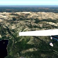
Version 5 increases the ZL17 radius near airports from 4km to 15km, and water masking widens from 8 to 25, while the Vandenberg area now uses ZL14 Sentinal-2 imagery. HD Mesh v4 is enabled by defau…
130.44 GB9.5KSep 20194/560Video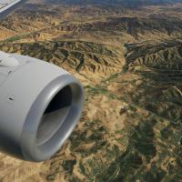
The Utah orthophoto dataset spans the entire state and supports use in two simulation versions. Fly Away Simulation converts Forkboy2 imagery to DDS, and it arrives pre-compiled in DDS format, elim…
41.95 GB1.7KDec 20215/535Video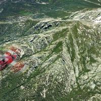
The project presents Corsica in full island scope, using open-source satellite imagery refined with Ortho4XP at zoom level 17 to deliver detailed terrain. It highlights Ajaccio and Campo dell Oro a…
7.77 GB6.2KJul 20194/540Video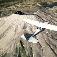
Forkboy2 compiles a complete photoreal orthophoto representation of Washington state, converted by Fly Away Simulation into the DDS format for use in the sim. The project spans the entire state, us…
65.31 GB2.9KOct 20204/535Video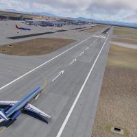
The project relies on Sentinel-2 imagery at Zoom Level 14 to render Mexico’s terrain in high detail. Fly Away Simulation delivers a pre-compiled version that eliminates JPG-to-DDS conversion, with …
18.37 GB1.1KAug 20234/535Video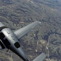
This orthophoto coverage for Texas combines NAIP 2016 imagery with USGS elevation data and 7,414 pre-compiled DDS files to deliver true-to-life landscapes, with zoom fidelity improving to level 17 …
108.37 GB1KApr 20245/536Video
The photoreal coverage spans the Bay Area region and surrounding locales, built from 1/3 arc-second USGS elevation data and orthophotos at zoom level 18. Forkboy2 is the original creator, Fly Away …
70.71 GB4.5KSep 20195/560+Video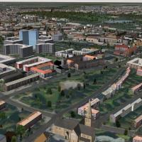
This Hamburg-focused 3D object compilation centers on notable buildings and harbor facilities in the region, placing the reference point roughly 4.5 nautical miles from EDDH on a 175-degree heading…
197.23 MB2.3KAug 20174/532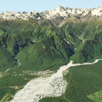
Lyndiman delivers orthophotography that covers New Zealand across nine regions, spanning both islands, with major airports such as Auckland NZAA, Christchurch NZCH, Queenstown NZQN, Dunedin NZDN, a…
195.73 GB5.8KSep 20195/535Video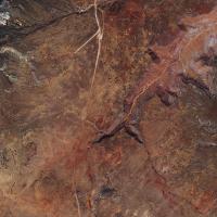
Arizona orthophotos fuse USGS elevation data at 1/3 arc-second with overlays, delivering Zoom Level 16 imagery and Zoom Level 17 within four kilometers of airports. Overlay data carries permission …
19.2 GB3KApr 20174/550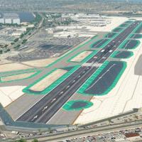
By Justin K, this KSAN airport project presents highly accurate terminal models, custom ground visuals, HDR night lighting, and animated GroundTraffic with AutoGate jetways. The 1.5 revision refine…
99.62 MB5.7KJul 20185/52