FSX Alfs UK Airfields Scenery
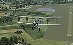
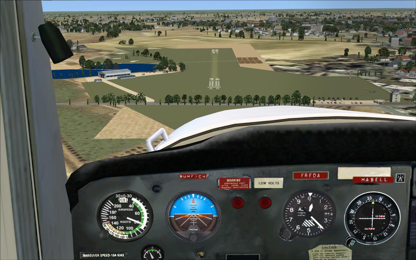
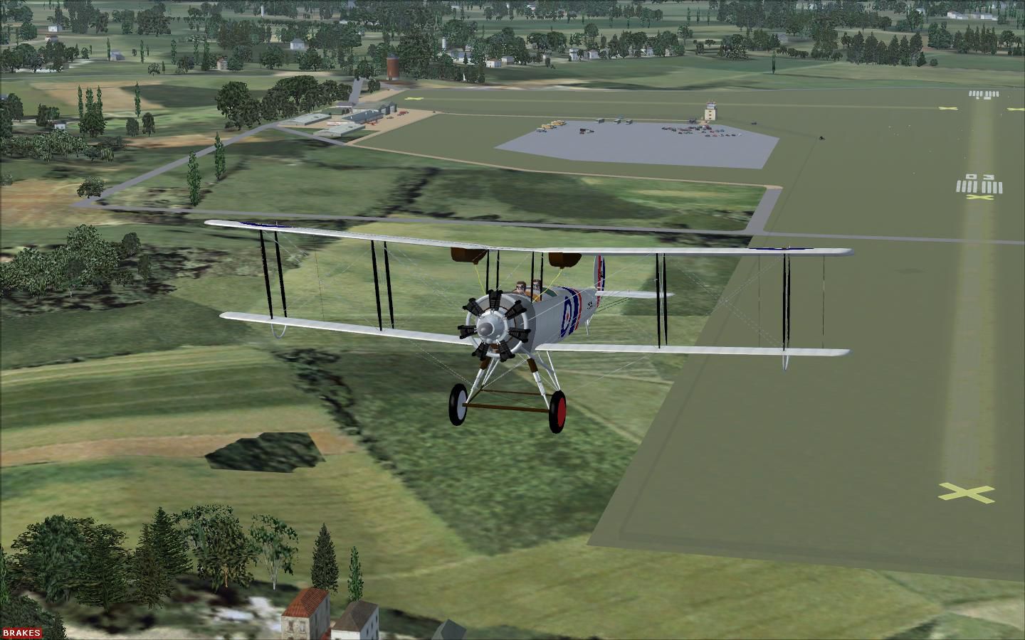
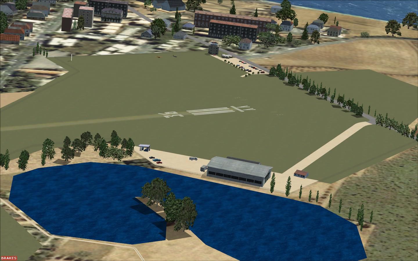
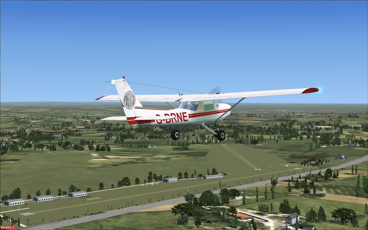
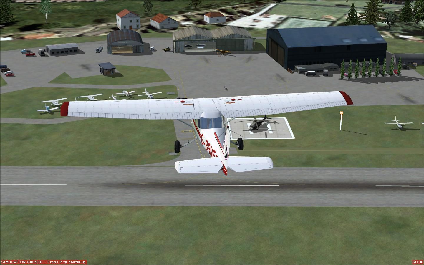
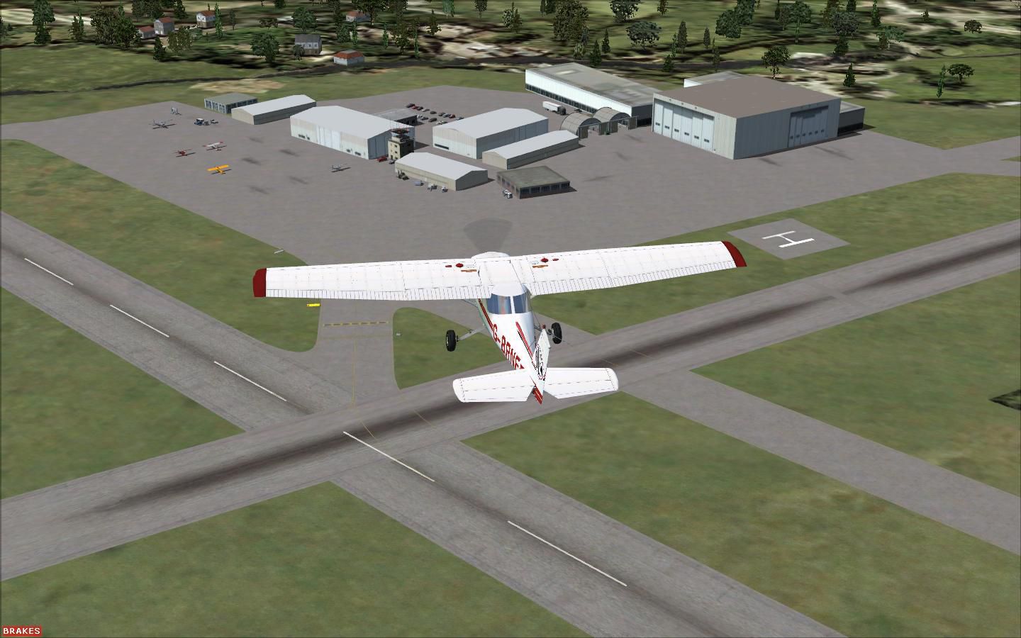
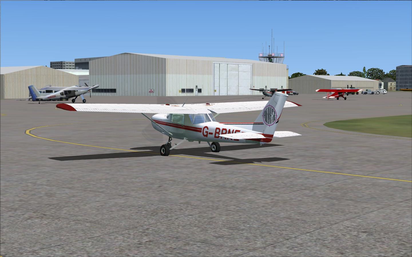
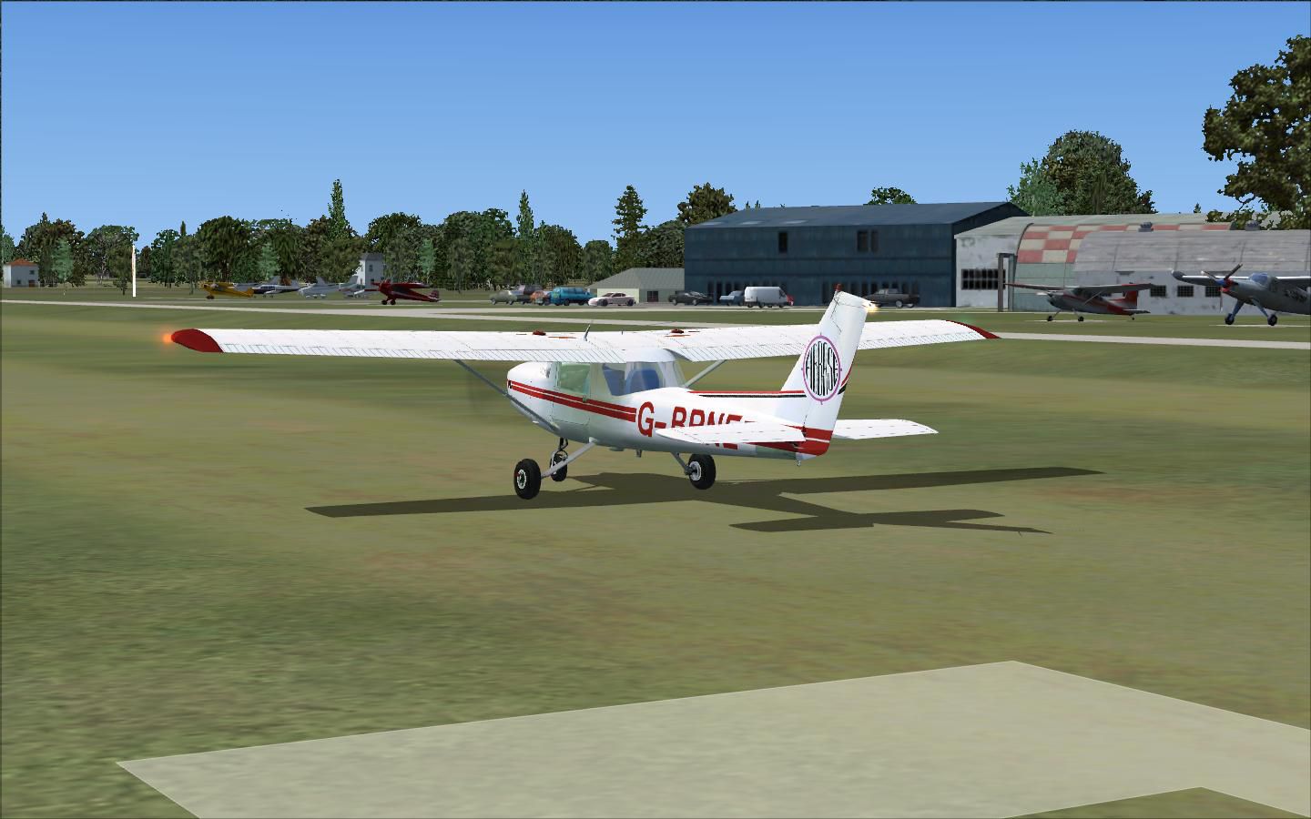
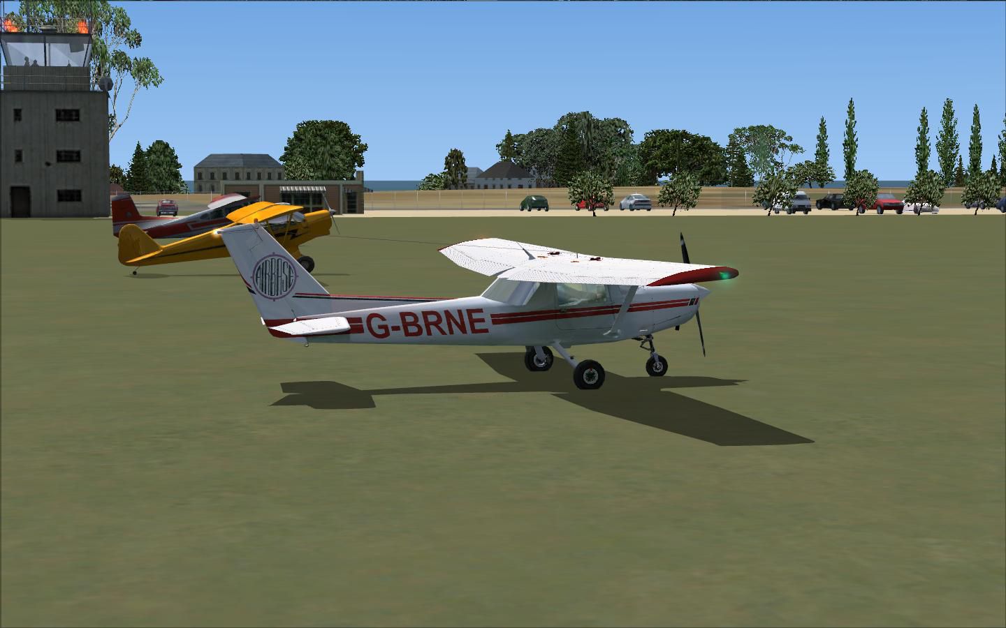
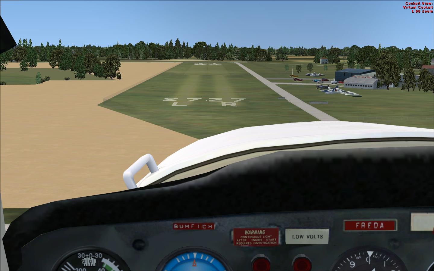
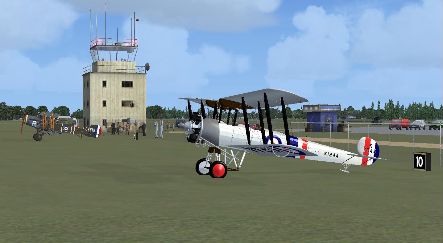
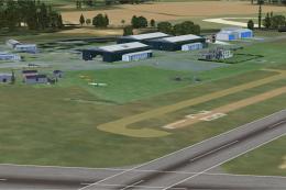
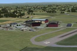
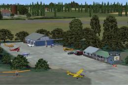
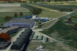
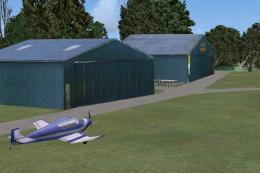
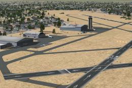
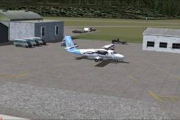
Alf’s UK Airfields scenery refreshes seven lesser-detailed strips with smarter layouts and ground clutter drawn from aerial references, improving low-level VFR immersion at Andrewsfield, Clacton, Cosford, Elstree, Lydd, Old Warden, and Popham. Built for FSX using only default scenery objects, it keeps performance-friendly visuals while enhancing each airfield’s character.


 United Kingdom
 - File: alfsukaf.zip
- Size:3.5 MB
- Scan:
Clean (30d)

- Access:Freeware
- Content:Everyone
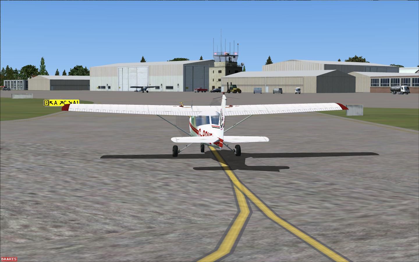
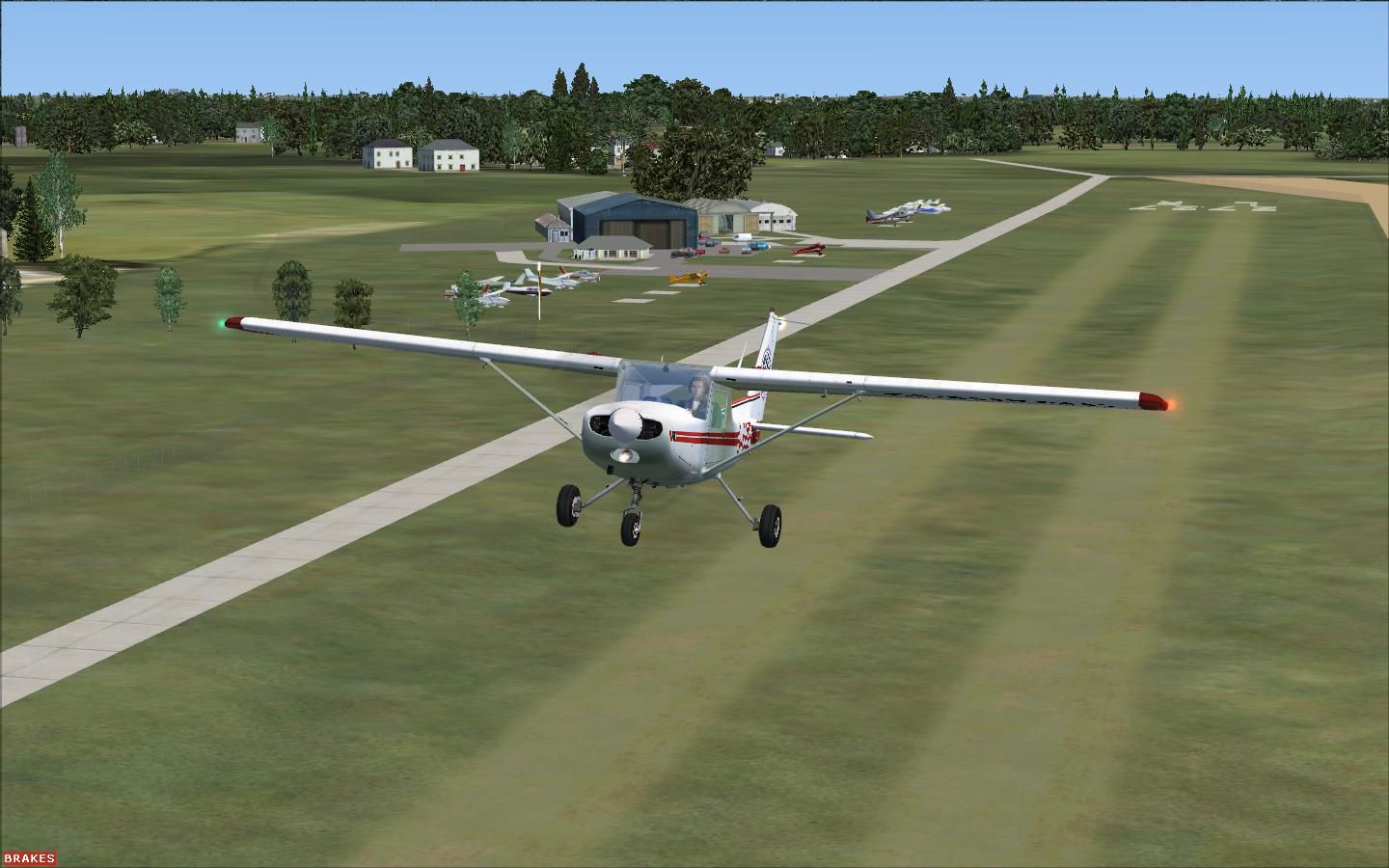
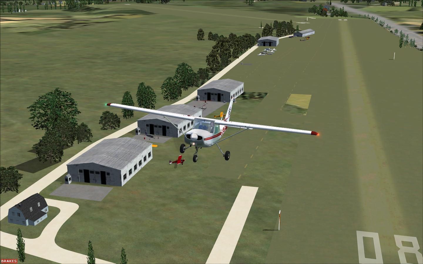
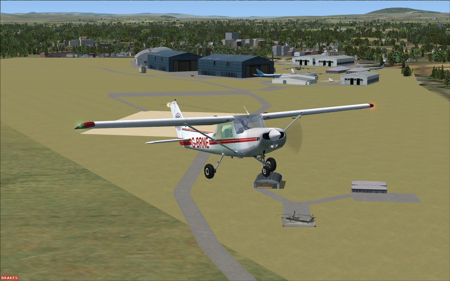
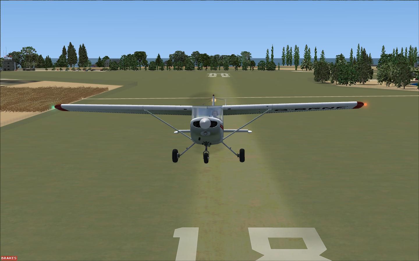
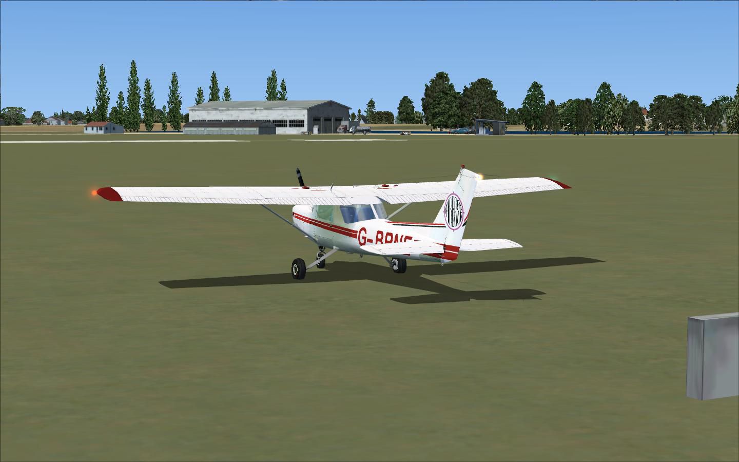
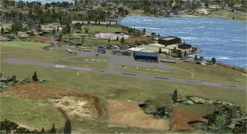
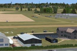
Alfs UK Airfields. Improvements to several small UK airfields, based on aerial views such as those from Google Earth. Uses only default FSX scenery objects. Included are Andrewsfield (EGSL), Clacton (EGSQ), Cosford (EGWC), Elstree (EGTR), Lydd (EGMD), Old Warden (EGTZ), Popham (EGHP). By Alf Denham.
Alfs UK Airfields Scenery.
Although FSX scenery is a great improvement on FS2004, there are still many small airfields in the UK with little or no details. I have tried to improve this in a small way. I do not have any direct knowledge, or indeed any useful photos of these airfields so do not aim to make them accurate, only better.
They were compiled using aerial views from Google Earth, Pooleys UK Flight Guide, FSX SDK Object Placement Tool and AFX v1.04 running under Vista (not recommended by Flight1). The main problem seemed to be in compiling 'excludes'. In some cases I made seperate exclude files and with perseverence it worked with me. I hope it works in your set-up.
I only used the standard FSX scenery data so there are no dedicated objects, only generic ones, but I hope it does improve some of the smaller airfields. There may be some slight problems. I find it works OK without OR with FSX SP2 running under Vista but running under Windows XP and no SP2 a few objects dont appear and a few trees that should be excluded appear. However under XP I'm using lower graphics settings and a less powerful PC.
Installing;
Just copy all the .bgl files in the Scenery folders for each respective airfield into ...Flight Simulator X/Addon Scenery/Scenery. It always works for me but if you prefer, unzip to a temporary folder first then copy them over from there.
Airfields:
Currently I have done -
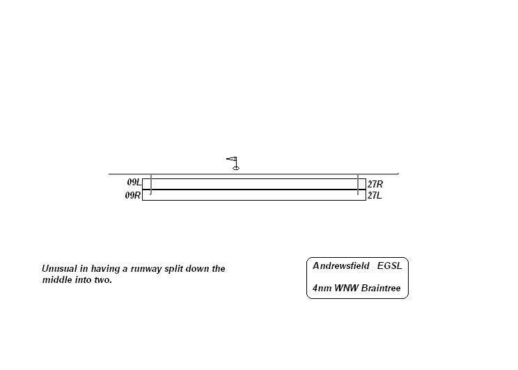
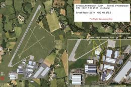
EGSL Andrewsfield
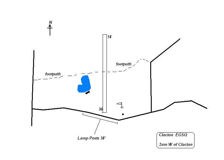
EGSQ Clacton
EGWC Cosford
EGTR Elstree
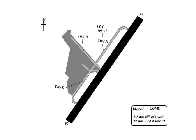
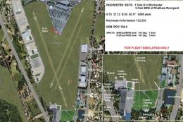
EGMD Lydd
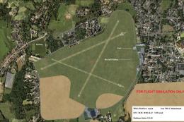
EGTZ Old Warden [See Old Warden ReadMe]
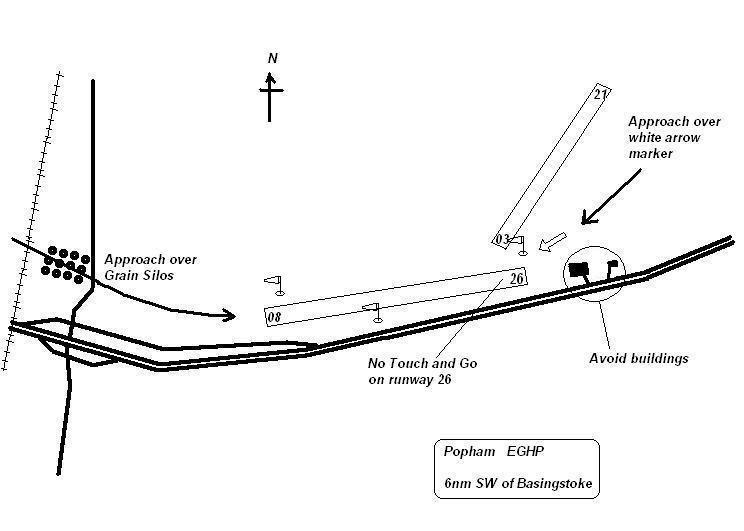
EGHP Popham
If they travel OK to the big world out there I may do some more!
Alf Denham
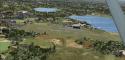
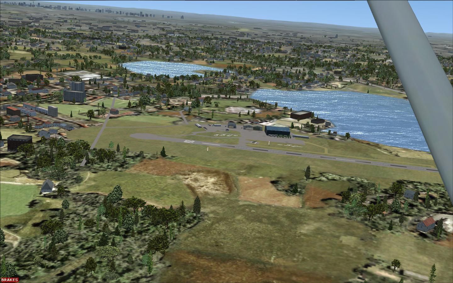
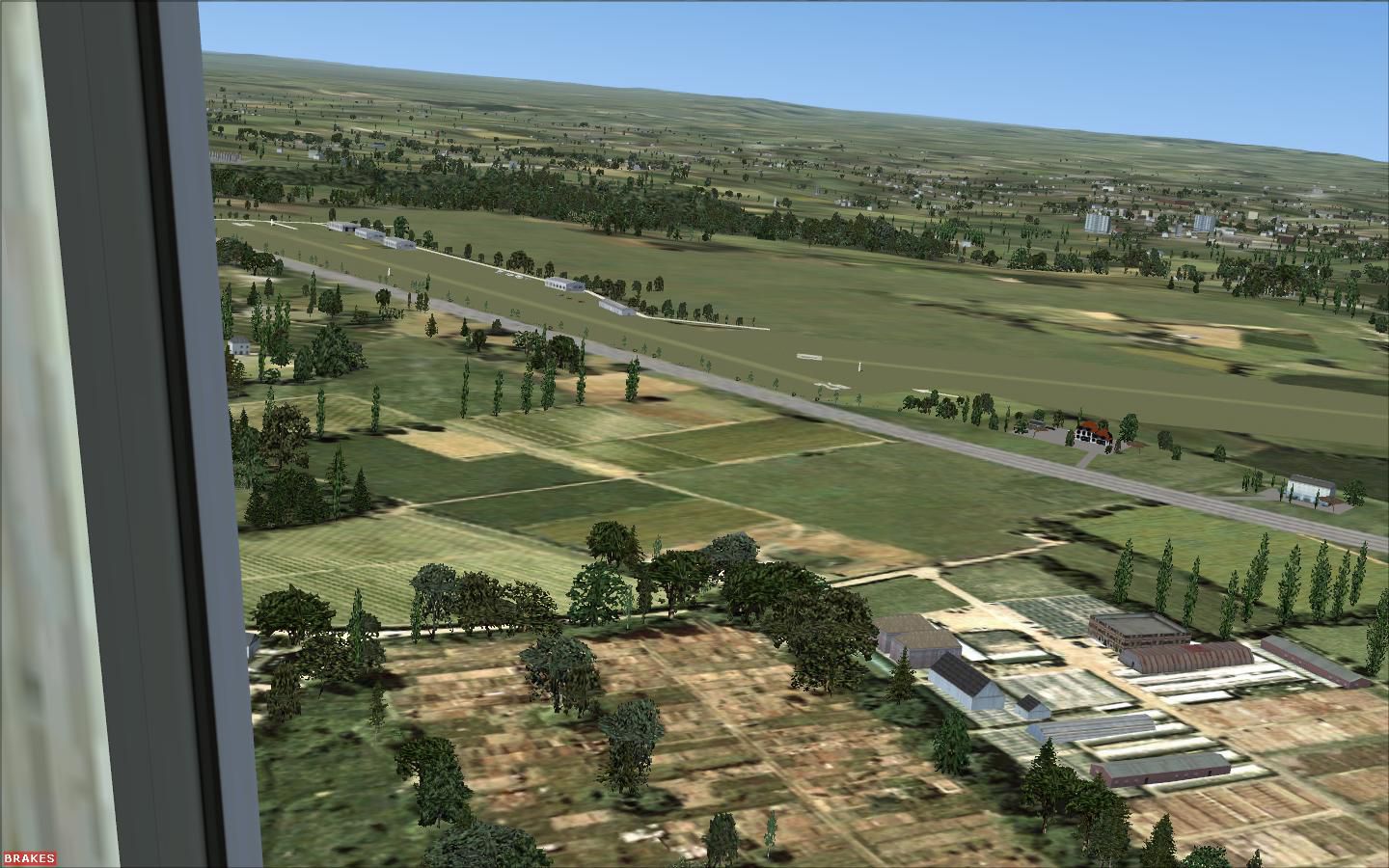
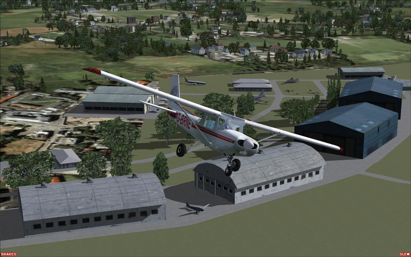
Images & Screenshots


Finding the Scenery
- FSX/Prepar3D Coordinates:
-
51.50740000,-0.12780000
Use the downloaded flight plan file by launching FSX/P3D, selecting "Load Flight Plan" in the flight planner, and choosing the .pln file. Your aircraft will be positioned directly at the add-on’s location. - Decimal Degrees (DD):
-
Latitude: 51.507400°
Longitude: -0.127800° - Degrees, Minutes, Seconds (DMS):
-
Latitude: 51° 30' 26.640" N
Longitude: 0° 07' 40.080" E
Map Location
The archive alfsukaf.zip has 83 files and directories contained within it.
File Contents
This list displays the first 500 files in the package. If the package has more, you will need to download it to view them.
| Filename/Directory | File Date | File Size |
|---|---|---|
| AndrewsfieldEGSL | 02.21.08 | 0 B |
| Airfield_map.jpg | 01.30.08 | 17.52 kB |
| Andrewsfield#1.jpg | 01.27.08 | 129.67 kB |
| Andrewsfield#2.jpg | 01.27.08 | 142.33 kB |
| Andrewsfield#3.jpg | 01.27.08 | 203.53 kB |
| Andrewsfield#4.jpg | 01.27.08 | 118.31 kB |
| Andrewsfield.gif | 02.08.08 | 10.04 kB |
| Andrewsfield_ReadMe.txt | 02.17.08 | 346 B |
| Scenery | 02.08.08 | 0 B |
| AFX_EGSL.bgl | 02.07.08 | 7.08 kB |
| EGSL_extra.BGL | 01.30.08 | 4.59 kB |
| EGSLwindsock.BGL | 01.26.08 | 138 B |
| ClactonEGSQ | 02.21.08 | 0 B |
| Airfield_map.JPG | 01.30.08 | 21.87 kB |
| Clacton#1.jpg | 01.25.08 | 118.78 kB |
| Clacton#2.jpg | 01.25.08 | 101.74 kB |
| Clacton#3.jpg | 01.25.08 | 106.06 kB |
| Clacton#4.jpg | 01.25.08 | 163.30 kB |
| Clacton#5.jpg | 01.25.08 | 176.32 kB |
| Clacton.gif | 02.08.08 | 12.34 kB |
| Clacton_ReadMe.txt | 02.17.08 | 352 B |
| Scenery | 02.08.08 | 0 B |
| AFX_EGSQ.bgl | 02.07.08 | 8.81 kB |
| EGSQ_exclude.bgl | 02.07.08 | 1.22 kB |
| EGSQ_extras.BGL | 01.30.08 | 9.04 kB |
| EGSQwindsock.BGL | 01.23.08 | 138 B |
| CosfordEGWC | 02.21.08 | 0 B |
| Cosford#1.gif | 02.17.08 | 9.30 kB |
| Cosford#1.jpg | 02.16.08 | 137.77 kB |
| Cosford#2.jpg | 02.16.08 | 191.54 kB |
| Cosford_ReadMe.txt | 02.17.08 | 412 B |
| Scenery | 02.17.08 | 0 B |
| AFX_EGWC.bgl | 01.23.08 | 10.87 kB |
| EGWC_exclude.bgl | 01.23.08 | 3.55 kB |
| EGWC_extras.BGL | 01.13.08 | 3.79 kB |
| EGWCwindsock.BGL | 01.23.08 | 138 B |
| ElstreeEGTR | 02.21.08 | 0 B |
| Elstree#1.jpg | 02.03.08 | 243.42 kB |
| Elstree#2.jpg | 02.16.08 | 157.11 kB |
| Elstree#3.jpg | 02.17.08 | 94.62 kB |
| Elstree.gif | 02.17.08 | 11.93 kB |
| Elstree_ReadMe.txt | 02.17.08 | 410 B |
| Scenery | 02.17.08 | 0 B |
| AFX_EGTR.bgl | 01.23.08 | 10.29 kB |
| EGTR_extra.BGL | 01.22.08 | 2.76 kB |
| EGTRwindsocks.BGL | 01.22.08 | 184 B |
| License.txt | 01.28.08 | 631 B |
| LyddEGMD | 02.21.08 | 0 B |
| Airfield_map.JPG | 02.17.08 | 22.12 kB |
| Lydd#1.jpg | 02.16.08 | 145.84 kB |
| Lydd#2.jpg | 02.16.08 | 142.97 kB |
| Lydd#3.jpg | 02.16.08 | 148.58 kB |
| Lydd.gif | 02.17.08 | 9.24 kB |
| Lydd_ReadMe.txt | 02.17.08 | 314 B |
| Scenery | 02.17.08 | 0 B |
| AFX_EGMD.bgl | 02.17.08 | 6.67 kB |
| EGMDextra.BGL | 02.16.08 | 1.92 kB |
| Old WardenEGTZ | 02.21.08 | 0 B |
| Airfield_map.jpg | 02.17.08 | 29.21 kB |
| Old Warden#1.jpg | 02.03.08 | 111.71 kB |
| Old Warden#2.jpg | 02.03.08 | 171.52 kB |
| Old Warden.gif | 02.17.08 | 8.54 kB |
| Old_Warden_ReadMe.txt | 02.17.08 | 970 B |
| Scenery | 02.17.08 | 0 B |
| AFX_EGTZ.bgl | 02.16.08 | 12.75 kB |
| EGTZ_extras.BGL | 02.16.08 | 7.31 kB |
| EGTZwindsock.BGL | 01.05.08 | 138 B |
| PophamEGHP | 02.21.08 | 0 B |
| Airfield_map.jpg | 01.30.08 | 37.57 kB |
| Popham#1.jpg | 01.25.08 | 116.00 kB |
| Popham#2.jpg | 01.25.08 | 140.17 kB |
| Popham#3.jpg | 01.25.08 | 158.85 kB |
| Popham#4.jpg | 01.25.08 | 209.19 kB |
| Popham.gif | 02.08.08 | 10.19 kB |
| Popham_ReadMe.txt | 02.17.08 | 408 B |
| Scenery | 02.17.08 | 0 B |
| AFX_EGHP.bgl | 02.07.08 | 11.33 kB |
| EGHP_exclude.bgl | 02.07.08 | 4.57 kB |
| EGHP_extra.BGL | 01.30.08 | 15.70 kB |
| EGHPwindsocks.BGL | 01.21.08 | 230 B |
| ReadMeFirst.txt | 02.21.08 | 1.69 kB |
| flyawaysimulation.txt | 10.29.13 | 959 B |
| Go to Fly Away Simulation.url | 01.22.16 | 52 B |
Installation Instructions
Most of the freeware add-on aircraft and scenery packages in our file library come with easy installation instructions which you can read above in the file description. For further installation help, please see our Flight School for our full range of tutorials or view the README file contained within the download. If in doubt, you may also ask a question or view existing answers in our dedicated Q&A forum.
0 comments
Leave a Response