 FSX Scenery
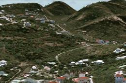
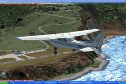
St-Barthelemy Island Sloped Runway
St Barthelemy island (TFFJ) is situated in the Caribbean Sea. It's small slop…
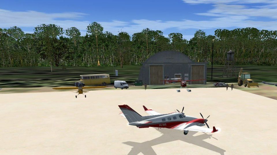
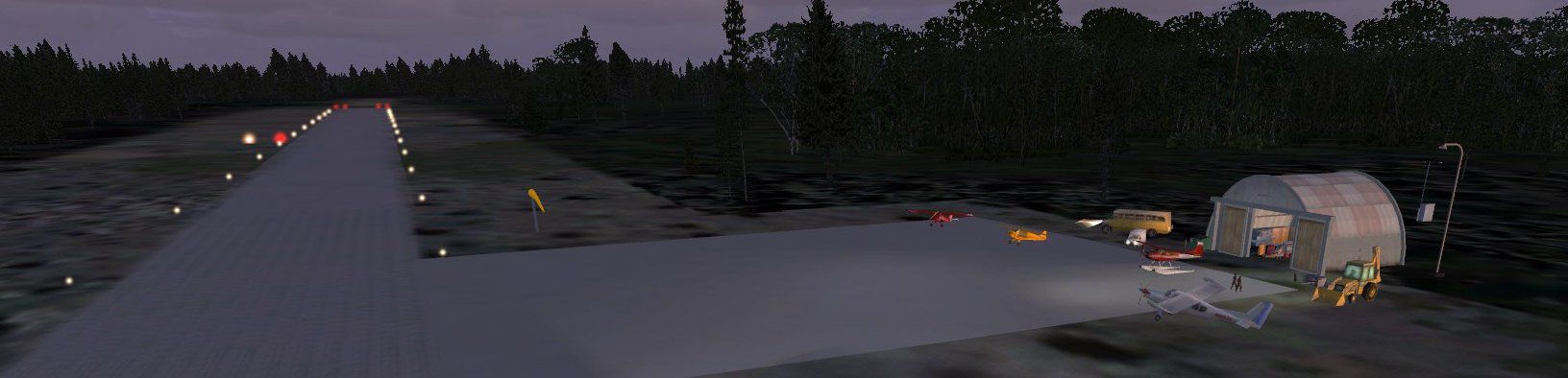
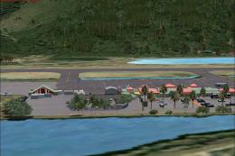
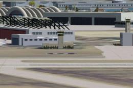
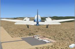
MYAO Mores Island brings the quiet Bahamas outpost to life with a detailed airfield setting tailored to low-traffic island flying and fishing-lodge getaways, including atmospheric night lighting and custom scenery elements. Built for FSX, it supports immersive VFR approaches and believable ground visuals that fit the island’s remote character.

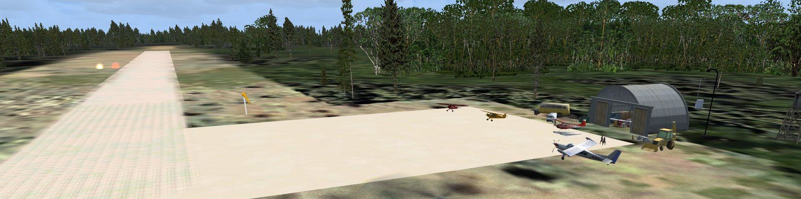

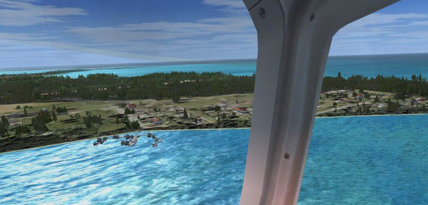
MYAO Mores Island, Bahamas. Low population due to lack of fresh water but is a popular bone fishing location. By Jimmy R. Martin.
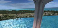
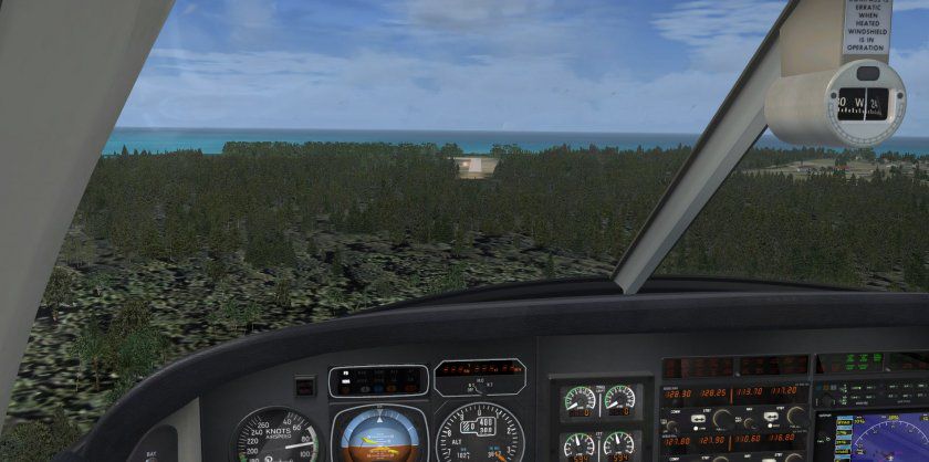
Screenshot of MYAO Mores Island Scenery.
Simply place the scenery and texture folders into your addon scenery library. No need to activate.
Located in Philadelphia, Mississippi.
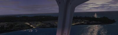
Screenshot of MYAO Mores Island Scenery at night.
Free for all simmers · 736.1 KB · Scanned clean Jul 2026
Download speed: Free tier is capped at 0.5 Mbps. PRO members download at full line speed.
FSX\Addon Scenery\ containing scenery and texture sub-folders.readme.txt or README file. It tells you exactly where files go, what dependencies are needed, and any quirks specific to this add-on.Use these coordinates to fly directly to this location once the mod is installed.
26.31000000,-77.64000000
Launch FSX or Prepar3D and use Flights → Load to open the downloaded .pln file. Your aircraft will be positioned at this location.
The archive myao_fsx.zip has 22 files and directories contained within it.
This list displays the first 500 files in the package. If the package has more, you will need to download it to view them.
| Filename/Directory | File Date | File Size |
|---|---|---|
| file_id.diz | 12.17.11 | 136 B |
| PS0265..jpg | 12.17.11 | 61.18 kB |
| PS0266..jpg | 12.17.11 | 109.88 kB |
| PS0267..jpg | 12.17.11 | 65.82 kB |
| PS0268..jpg | 12.17.11 | 149.78 kB |
| PS0269..jpg | 12.17.11 | 86.39 kB |
| PS0270..jpg | 12.17.11 | 193.27 kB |
| ramp lights copyright.diz | 01.10.05 | 458 B |
| readme.txt | 12.17.11 | 289 B |
| scenery | 12.17.11 | 0 B |
| MYAO-jRm.bgl | 12.17.11 | 1.04 kB |
| MYAO_ADEX_ADE.BGL | 12.16.11 | 2.06 kB |
| MYAO_ADEX_ADE.xml | 12.16.11 | 16.77 kB |
| MYAO_ADEX_ADE_CVX.bgl | 12.16.11 | 553 B |
| MYAO_ADEX_XXX.ad2.ad2 | 12.16.11 | 52.76 kB |
| RampLight_Library.bgl | 01.11.05 | 30.63 kB |
| textures | 12.17.11 | 0 B |
| ESDG_ramp.BMP | 01.09.05 | 32.07 kB |
| ESDG_ramp_lm.BMP | 01.09.05 | 32.07 kB |
| MYAO_FSX | 12.17.11 | 0 B |
| flyawaysimulation.txt | 10.29.13 | 959 B |
| Go to Fly Away Simulation.url | 01.22.16 | 52 B |
Only PRO members can place votes.
More FSX & P3D add-ons hand-picked based on this download.
FSX Scenery
St Barthelemy island (TFFJ) is situated in the Caribbean Sea. It's small slop…
 FSX Scenery
Island Of Saba. Includes redesign of all coasts and land class; SABA airport;…
 FSX Scenery
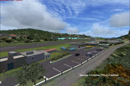
(Caraibes). Saint Lucia Island scenery including the correct redefinition of …
 FSX Scenery
Saba Island (TNCS). Saba island in FSX is much improved over the flat island …
 FSX Scenery
Grande Case Island, St Marteen (TFFG). This scenery is fully compatible with …
 FSX Scenery
NAS North Island (KNZY), v1.01. After a hard day of trapping it's nice to hav…
 FSX Scenery
FSX Corse Island Scenery version I. Know as Corse to the French, Corsica to t…
 FSX Scenery
Scenery Mahon/Menorca Island, Islas Baleares (Balearic Islands), Spain (LEMH)…
Be the first to leave a comment on this download.
Be the first to share your thoughts on this download.