FSX Nashua Airport Scenery
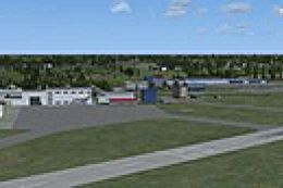
Nashua Municipal Airport (KASH) in New Hampshire brings Boire Field to life with updated taxiway widths, replaced stock structures, and more accurate buildings guided by satellite imagery, plus static ramp aircraft and parking-lot vehicles for a busier feel. Designed for Microsoft Flight Simulator X, it enhances general aviation operations with a refreshed local layout.

 United States of America
 - File: kashtl.zip
- Size:1.08 MB
- Scan:
Clean (6d)

- Access:Freeware
- Content:Everyone
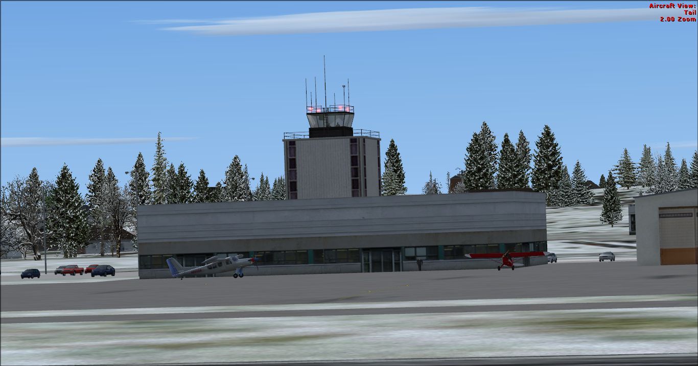
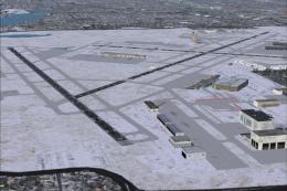
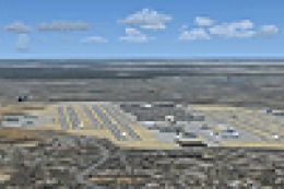
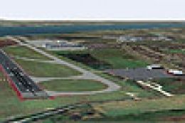
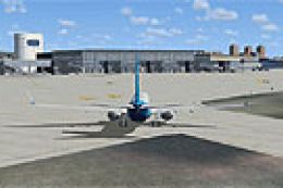
Nashua Airport (KASH), New Hampshire (NH). This airport was made using Airport Design Editor 9x. (ADE9x). Nashua Municipal Airport, or Boire Field is a general aviation airport located in Nashua, New Hamshire. Made based on Google Earth and Bing maps. Replaces most of the stock buildings and added more accurate ones. The flight simulator made the taxiways 75 feet wide but they are only supposed to be 50 feet wide. Also adds static aircraft on the ramp and cars in the parking lot. The scenery complexity cannot be set to to very sparse or nothing will not show up. By Tyler Lawrence.
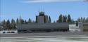
Screenshot of Nashua Airport Scenery.
This file is for Flight Simulator X only. To set the scenery complexity on the flight simulator, go to the settings page. From there, click on customize. Then, click on the scenery tab. Slide the slider that is at the right and is labeled: Scenery Complexity.
Installation:
1) Copy the KASH_TL folder.
2) Paste the KASH_TL folder into the C:\Program Files (x86)\Microsoft Games\Microsoft Flight Simulator X\Addon Scenery\scenery.
3) That is it!
Author:
Tyler Lawrence (age 12)
This is my first file ever. I hope you enjoy it.
Images & Screenshots

Finding the Scenery
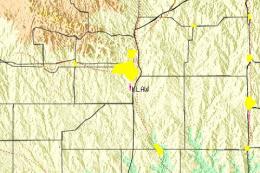
- FSX/Prepar3D Coordinates:
-
42.78170000,-71.51480000
Use the downloaded flight plan file by launching FSX/P3D, selecting "Load Flight Plan" in the flight planner, and choosing the .pln file. Your aircraft will be positioned directly at the add-on’s location. - Decimal Degrees (DD):
-
Latitude: 42.781700°
Longitude: -71.514800° - Degrees, Minutes, Seconds (DMS):
-
Latitude: 42° 46' 54.120" N
Longitude: 71° 30' 53.280" W
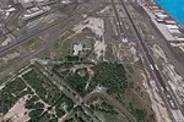
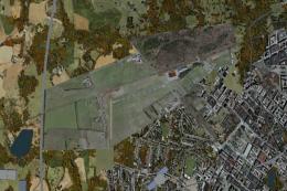
Map Location
The archive kashtl.zip has 5 files and directories contained within it.
File Contents
This list displays the first 500 files in the package. If the package has more, you will need to download it to view them.
| Filename/Directory | File Date | File Size |
|---|---|---|
| KASH_ADEX_TL.BGL | 12.03.11 | 25.60 kB |
| KASH_please_read_me!.txt | 12.24.11 | 1.19 kB |
| KASH_.png | 12.11.11 | 1.07 MB |
| flyawaysimulation.txt | 10.29.13 | 959 B |
| Go to Fly Away Simulation.url | 01.22.16 | 52 B |
Installation Instructions
Most of the freeware add-on aircraft and scenery packages in our file library come with easy installation instructions which you can read above in the file description. For further installation help, please see our Flight School for our full range of tutorials or view the README file contained within the download. If in doubt, you may also ask a question or view existing answers in our dedicated Q&A forum.
0 comments
Leave a Response