Page 4
Searches the whole library — filter by sim & category on the results page
Dženis Hadži (SimPilot1998) presents a World Trade Center depiction released in 2021, built with advanced mapping techniques and aerial photography to reproduce the landmark with reverence. The wor…
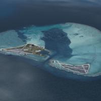
An enhanced High Resolution edition for the Midway Island area expands the Pacific scene, drawing coral reefs from NASA satellite imagery. It offers about 100 km visibility using the Long Visual Ra…
Version 4 introduces the American Airlines terminal and a JetBlue terminal at John F. Kennedy International Airport in New York, while refining jetway positioning and creating more usable gates. Te…
The Kahului airport on Maui receives a complete remake with a new terminal, redesigned jetways, and coverage of cargo and hangar areas, plus parking and the inbound road reaching town. Jetways at t…
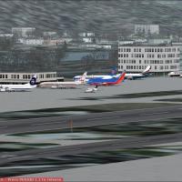
Situated 5 miles south of downtown Seattle at Boeing Field, the facility serves as the Boeing Company's final test site for the 737, 757, and 777. Commercial flights operate from the airfield throu…

Version 2 spans the Tel Aviv and Ramat Gan area, highlighting 56 tallest buildings within this urban corridor. The arrangement concentrates on the region's most prominent structures, establishing a…
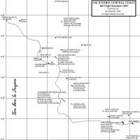
A revised CCCOAST4.ZIP archive carries a 12/27/03 date and tweaks compatibility with 38.2m LOD10 mesh terrain. Justin Tyme's 38.2m mesh terrain, now freeware, helps adjust and test, and harbor area…
Version 4.2 stands as the final build for the Vancouver project, incorporating CYVR4.zip, CYVR41.zip, CYVR4fix.zip, CYVR4com.zip, and CYVRup42.zip. CYVR3.1 for FS2002 earns a FlightSim Developer’s …
The update moves the Jamaica airport serving Montego Bay to a corrected location, while it adds a second story to the terminal, and the parking area behind the main building gains depth to create a…
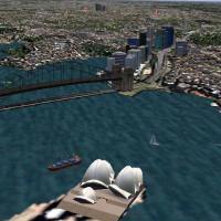
An enhancement to the Sydney layout adds North Sydney Buildings, Chatswood structures, TV Antennas, Fort Denison harbour traffic, Gladesville and Iron Cove Bridges, and two heliports at the Opera H…
GMax powers a detailed rendition of LFRD, a regional airport in Brittany, France. Under current settings, it runs as fast as the default setup despite thousands of houses, buildings, and trees surr…

Geobase-based road network for Canada includes highways down to local streets and excludes British Columbia and New Brunswick. Sorting by province and road type lets users install only the parts th…
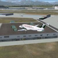
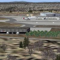
David Biggar presents a depiction of the airfield at KSMF in California as it appears in late 2008, anchoring the period. The scene shows the airfield just before construction started on the new Ce…
The facility KMHT is owned by the City Of Manchester and serves Manchester and Hillsboroughugh County, featuring more than one runway and a longest paved stretch extending 7001 feet. The field sits…
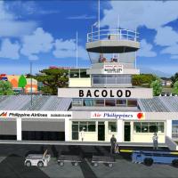
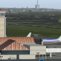
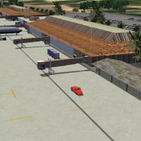
The Bacolod layout delivers full animation with moving air traffic controllers in the tower, baggage carts, passengers on the pre-departure area, wind vane and beacon lights, fire trucks, and traff…
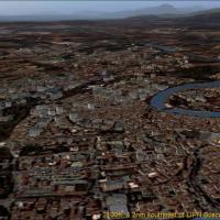
Francesco Mandelli develops a Verona area creation in Italy for a 2000s-era flight simulator, covering about 370 square kilometers with buildings and autogen, plus seasonal and night imagery and ni…
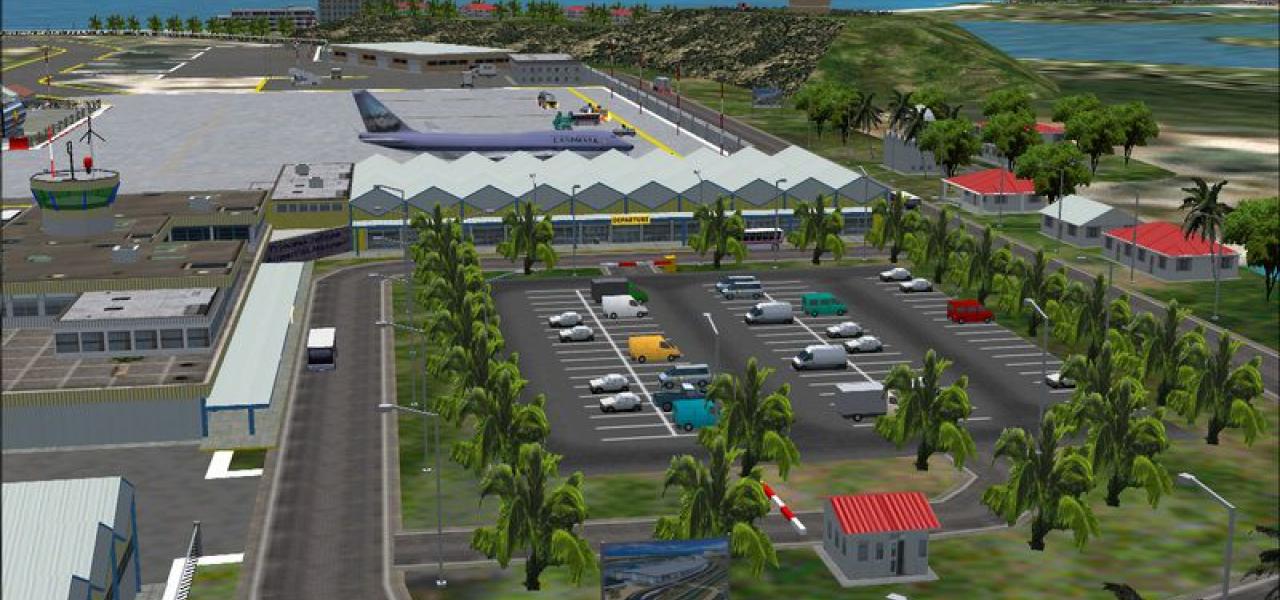
This freeware edition depicts MDST Cibao International Airport in the Dominican Republic, inaugurated in 2002, with the airport and all buildings fully detailed, animated jetways, Marsharllers at e…
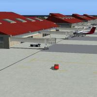
PHLI reworks the airport with a new terminal and expanded facilities, including a cargo area, hangar zone, and office buildings. The default control tower remains, its rotating beacon integrated at…
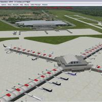
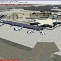
Pittsburgh International Airport (KPIT) receives a complete remake with remodeled and repositioned terminals, jetways, and vehicles. Parking assignments for all terminals reflect the PIT website, a…

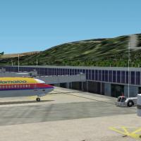
By patching Toni Agramont's canary04.zip, the compilation aligns with Project Canarias 2006, covering Fuerteventura and Lanzarote island airports plus Tenerife's GCTS and GCXO with corrected layout…