MSFS Naval Air Station Joint Reserve Base New Orleans (KNBG) Scenery
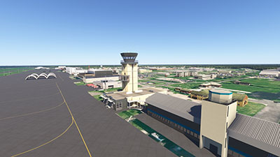
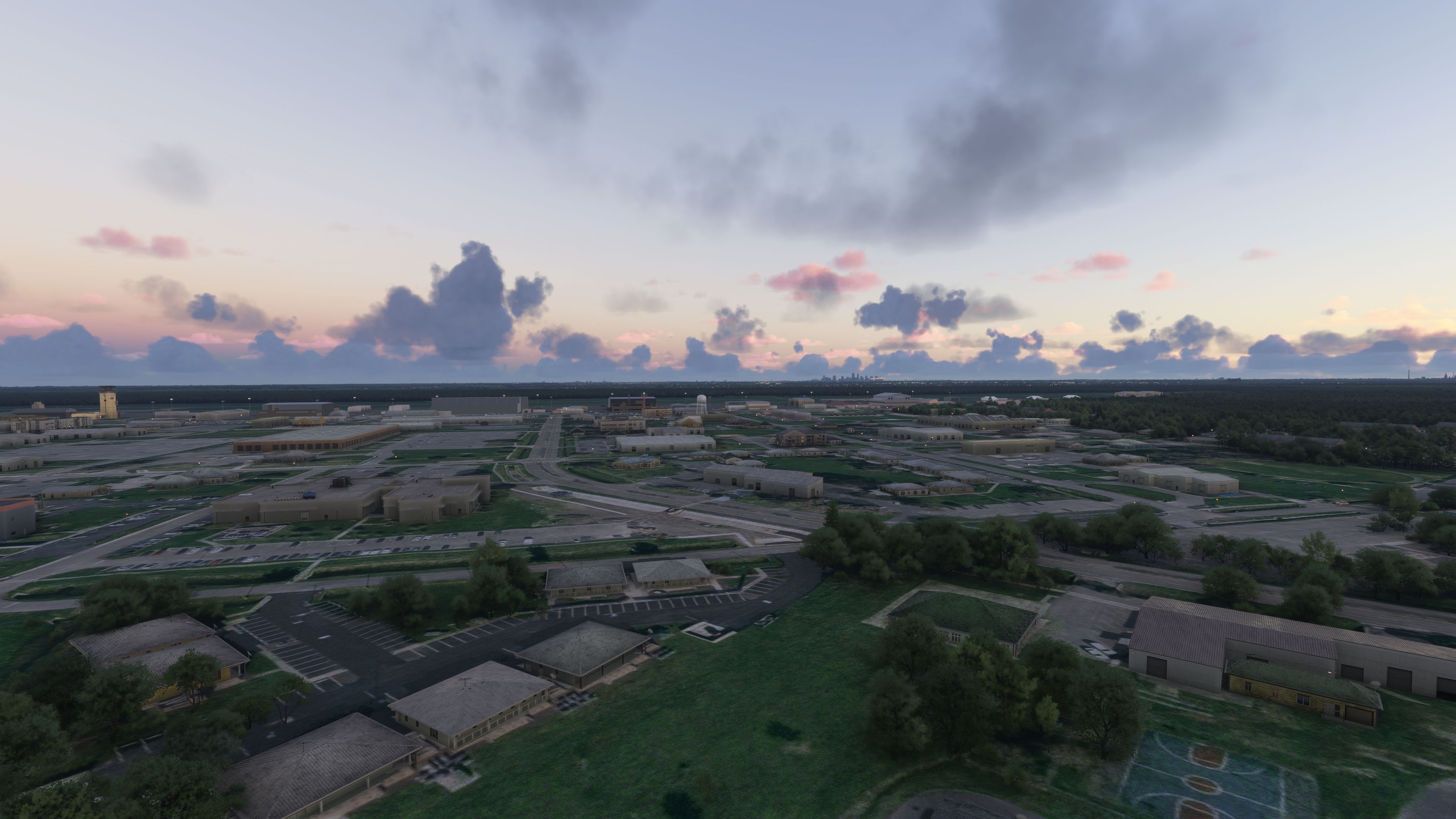
Naval Air Station Joint Reserve Base New Orleans (KNBG) at Alvin Callender Field is recreated with sharper ground textures, upgraded ramps, and custom military buildings, including the distinctive control tower and key Navy Reserve support areas. Built for Microsoft Flight Simulator, it captures round-the-clock Guard alert readiness and Coast Guard search-and-rescue activity near Belle Chasse.

 United States of America
 - File: knbg-2020-2024.zip
- Size:393.02 MB
- Scan:
Clean (3d)

- Access:Freeware
- Content:Everyone

Expert Overview
This mod seamlessly reproduces Naval Air Station Joint Reserve Base New Orleans, bringing to life the Air National Guard alert ramps, Coast Guard search-and-rescue highlights, and key structures like the unique ATC tower. Having put it through its paces, I can confirm that its refined ground textures, handcrafted hangars, and meticulous detailing accurately capture the bustling military environment, making it an excellent addition for those who crave realism in Microsoft Flight Simulator.
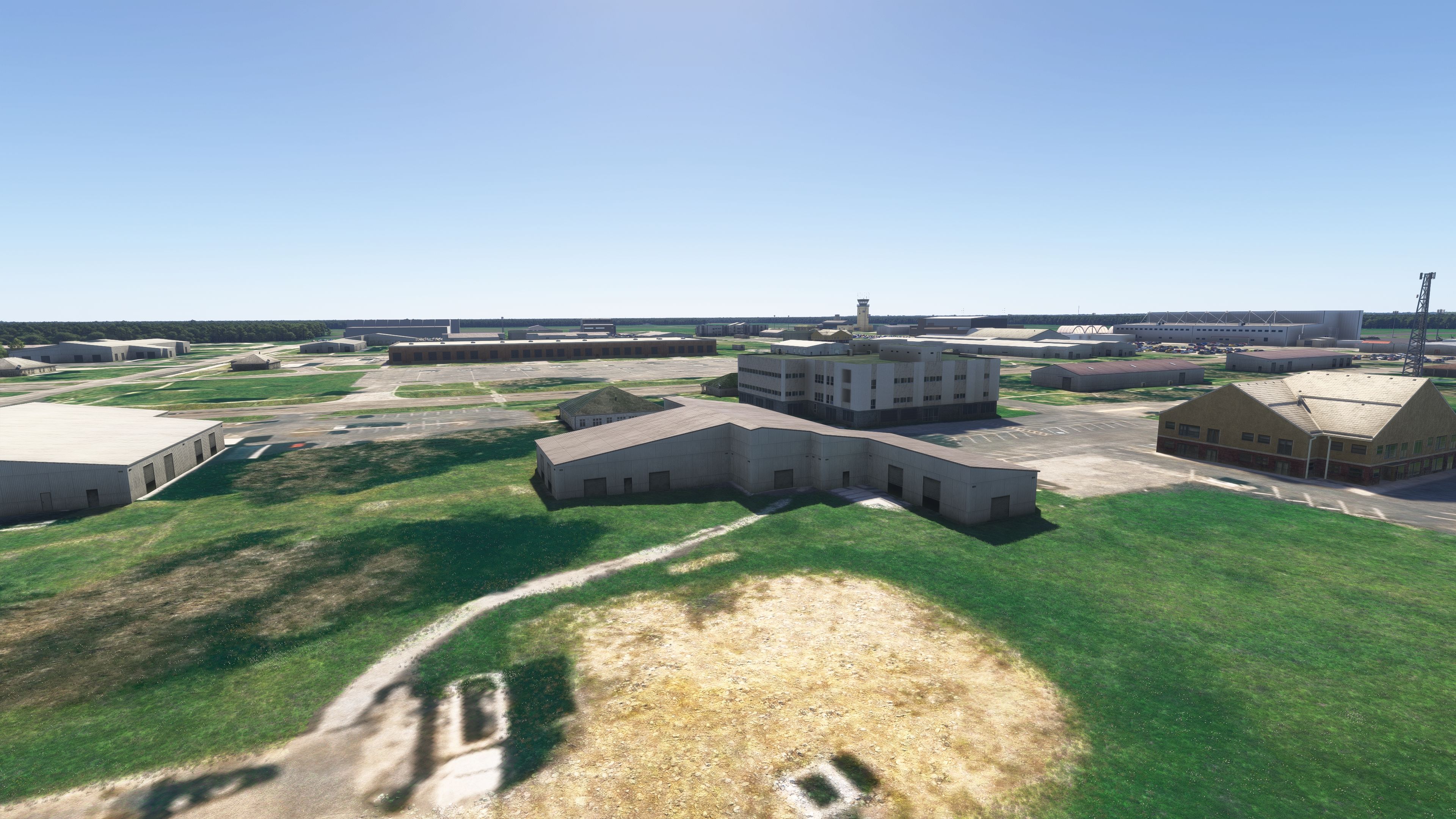
From real-time military flight operations to the upgraded base layout, every facet feels purpose-built to satisfy die-hard flight enthusiasts. The careful modeling of maintenance areas, reserve unit facilities, and aircraft ramps reflects years of ongoing development, ensuring this mod not only looks great but remains true to the spirit of active-day operations at a high-profile military station. It’s a must-have upgrade for anyone seeking a more authentic, immersive New Orleans flight experience.
This mod was installed, tested and reviewed by Adam McEnroe for Fly Away Simulation. Adam is an FS mod expert. Read his bio here.
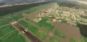
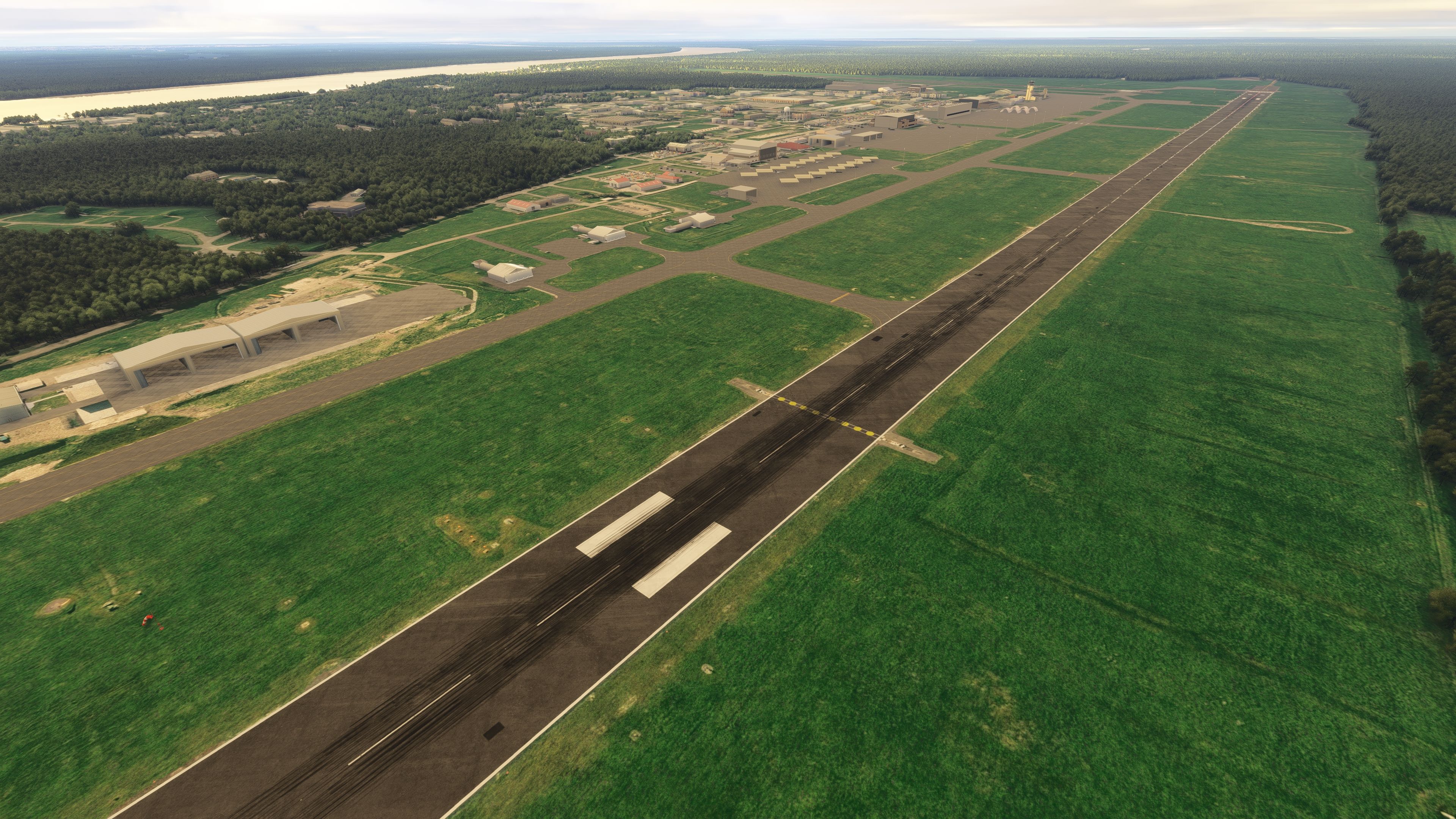
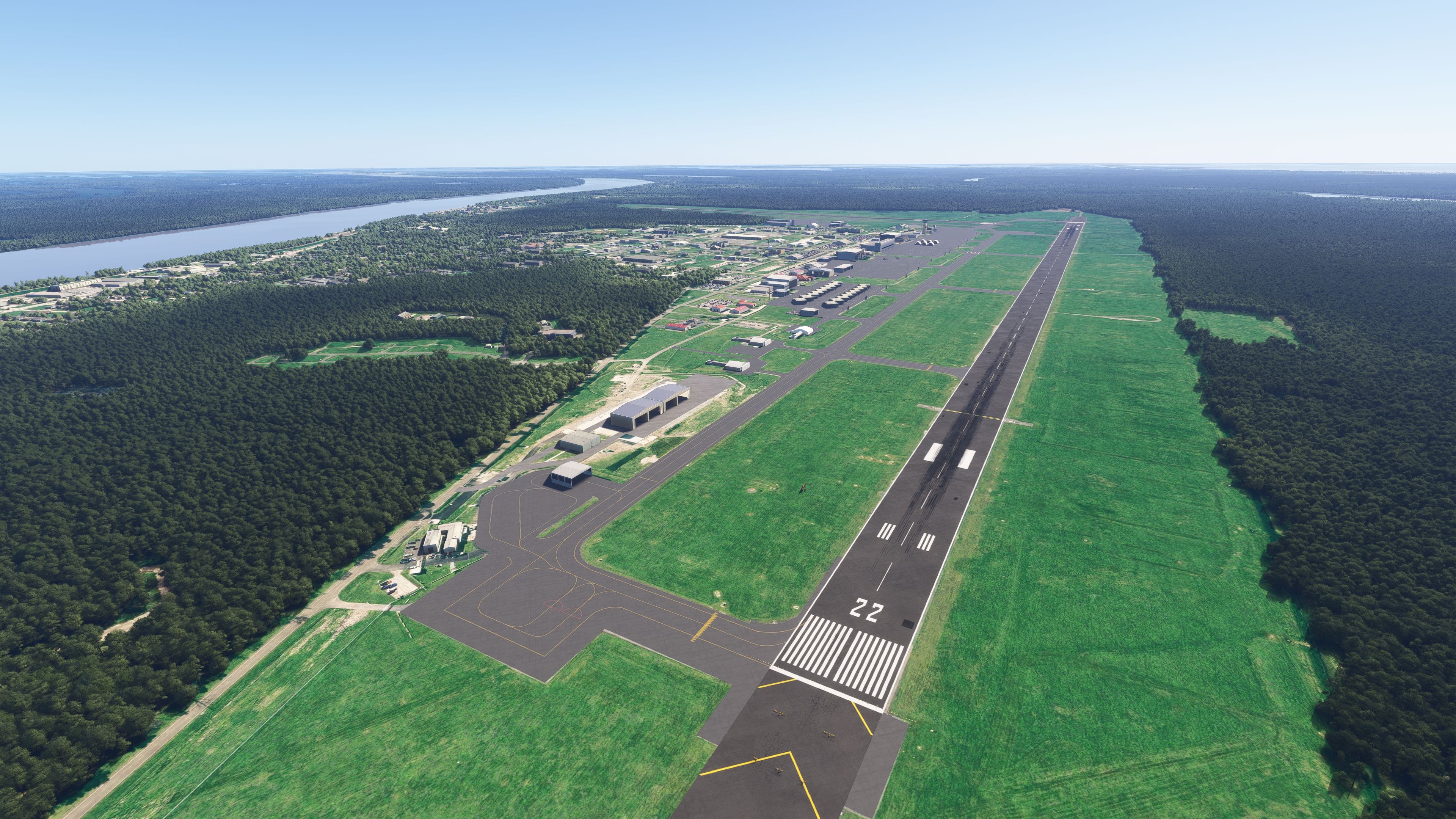
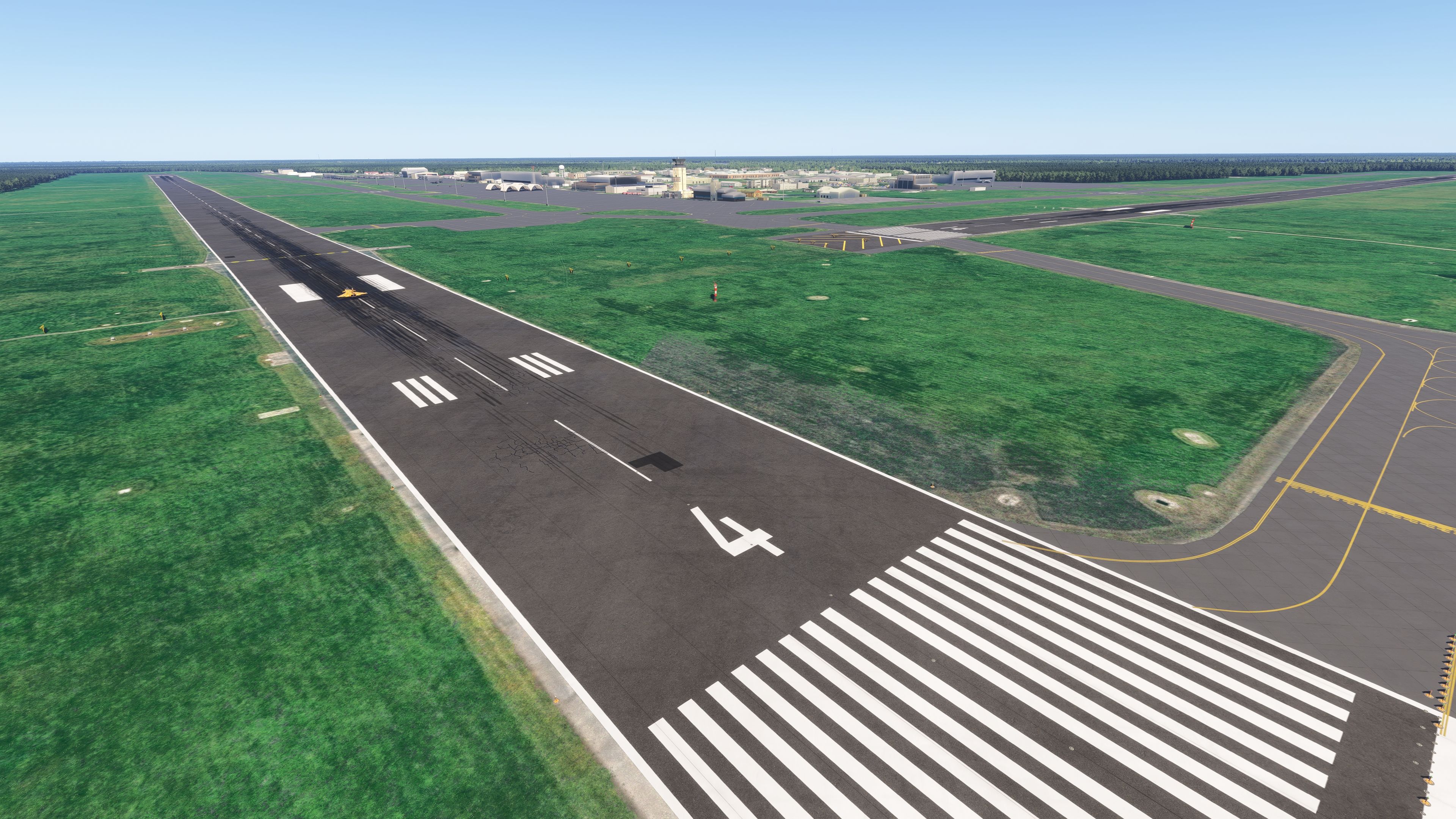
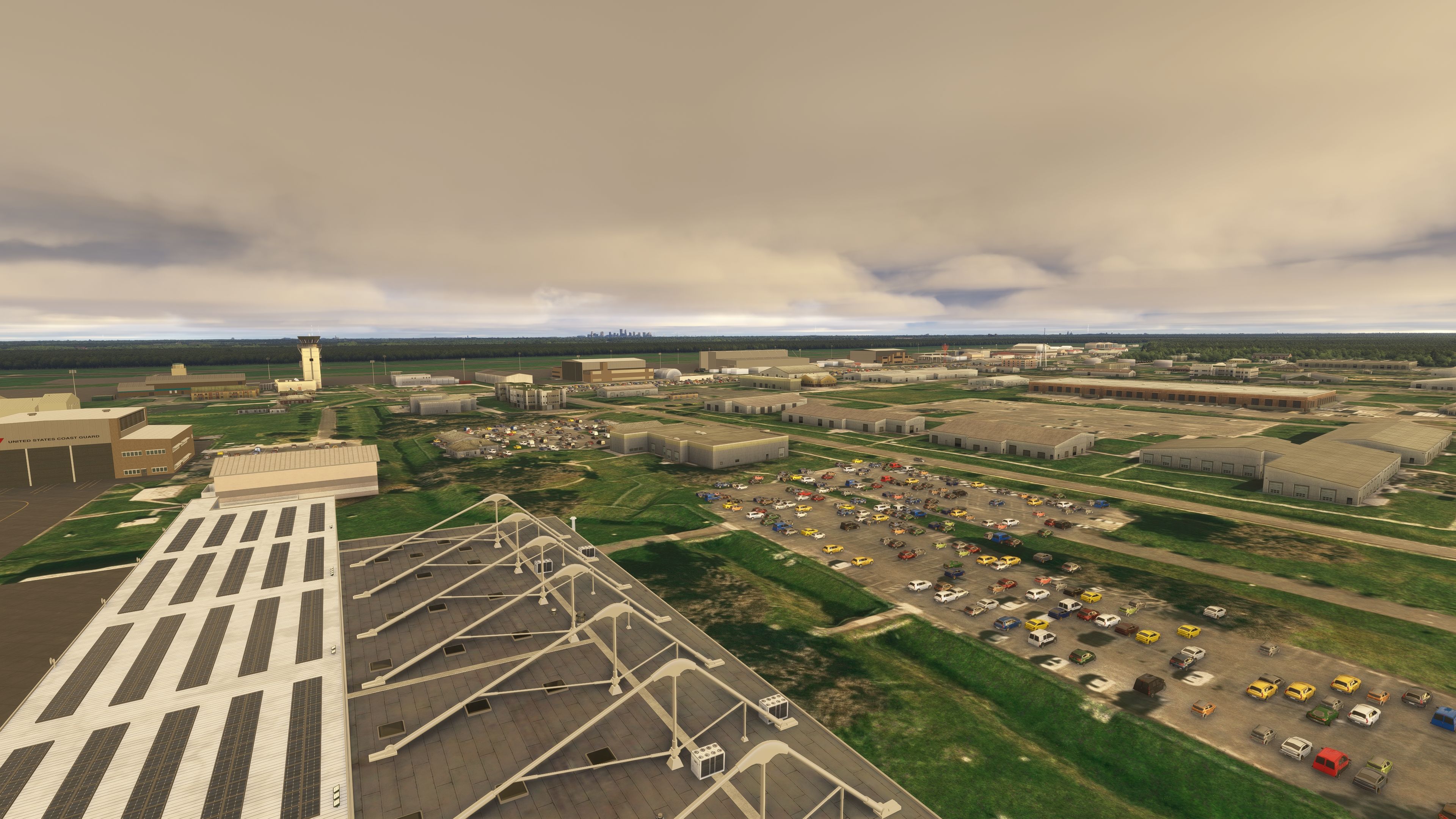
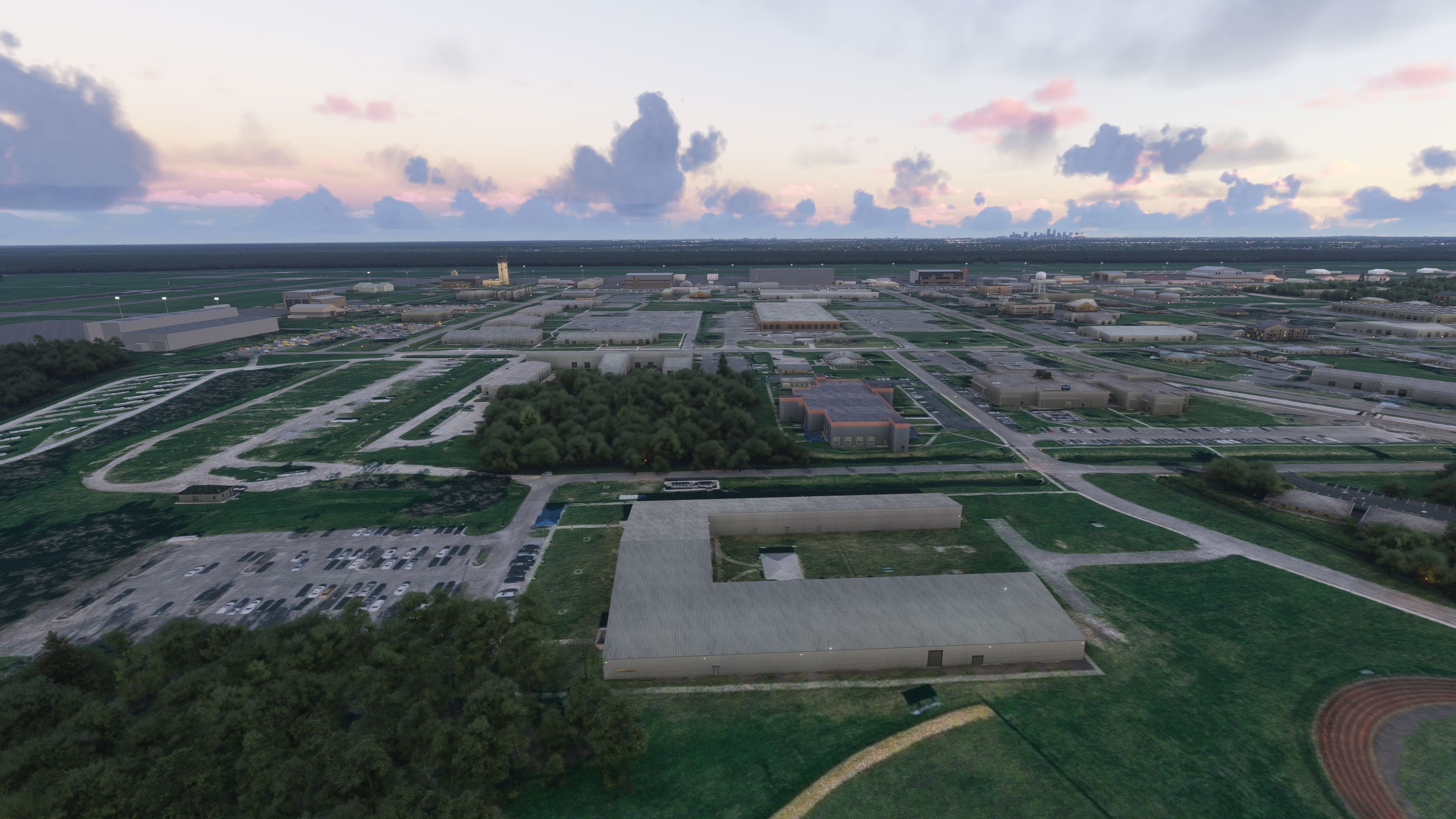
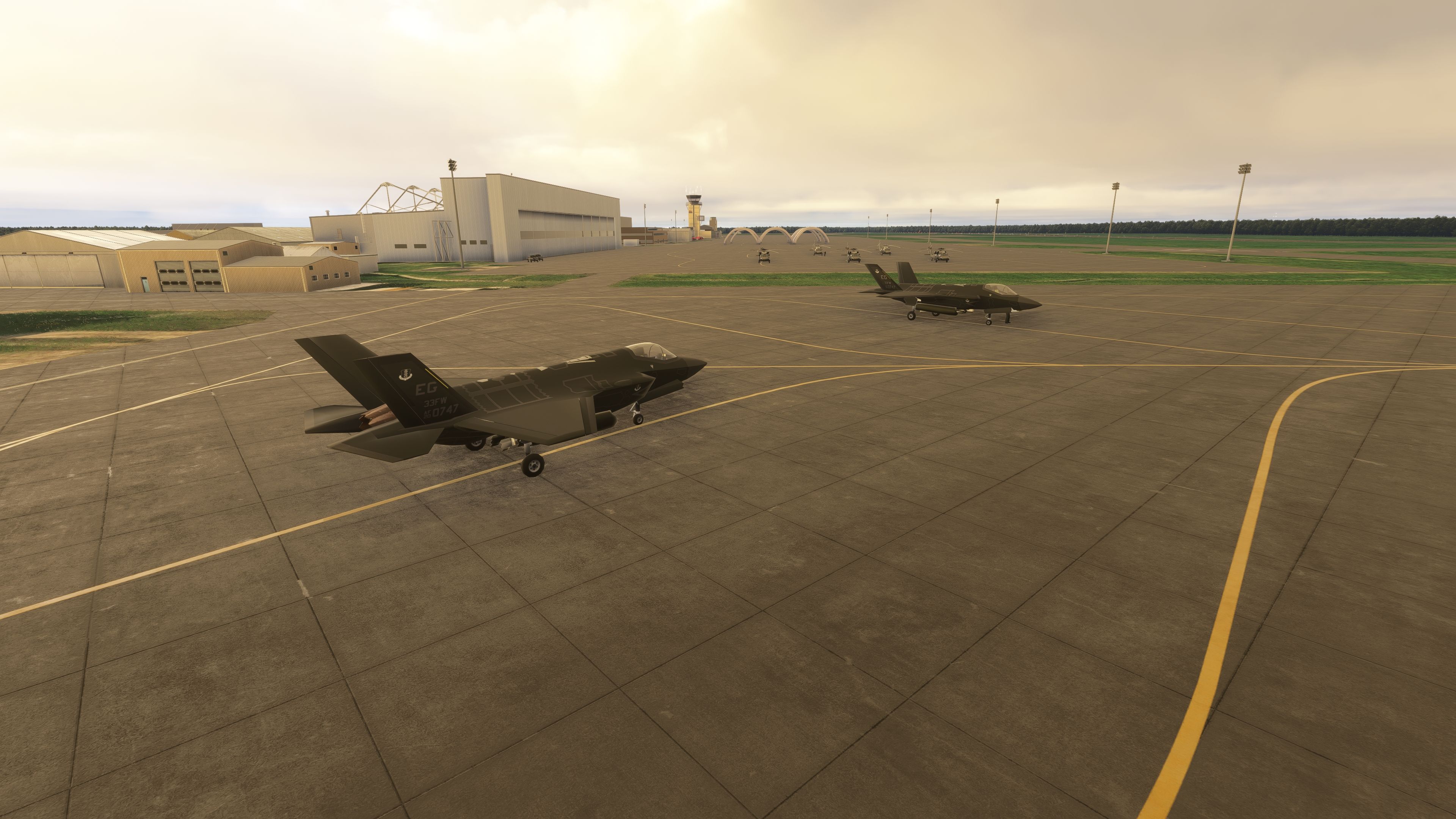
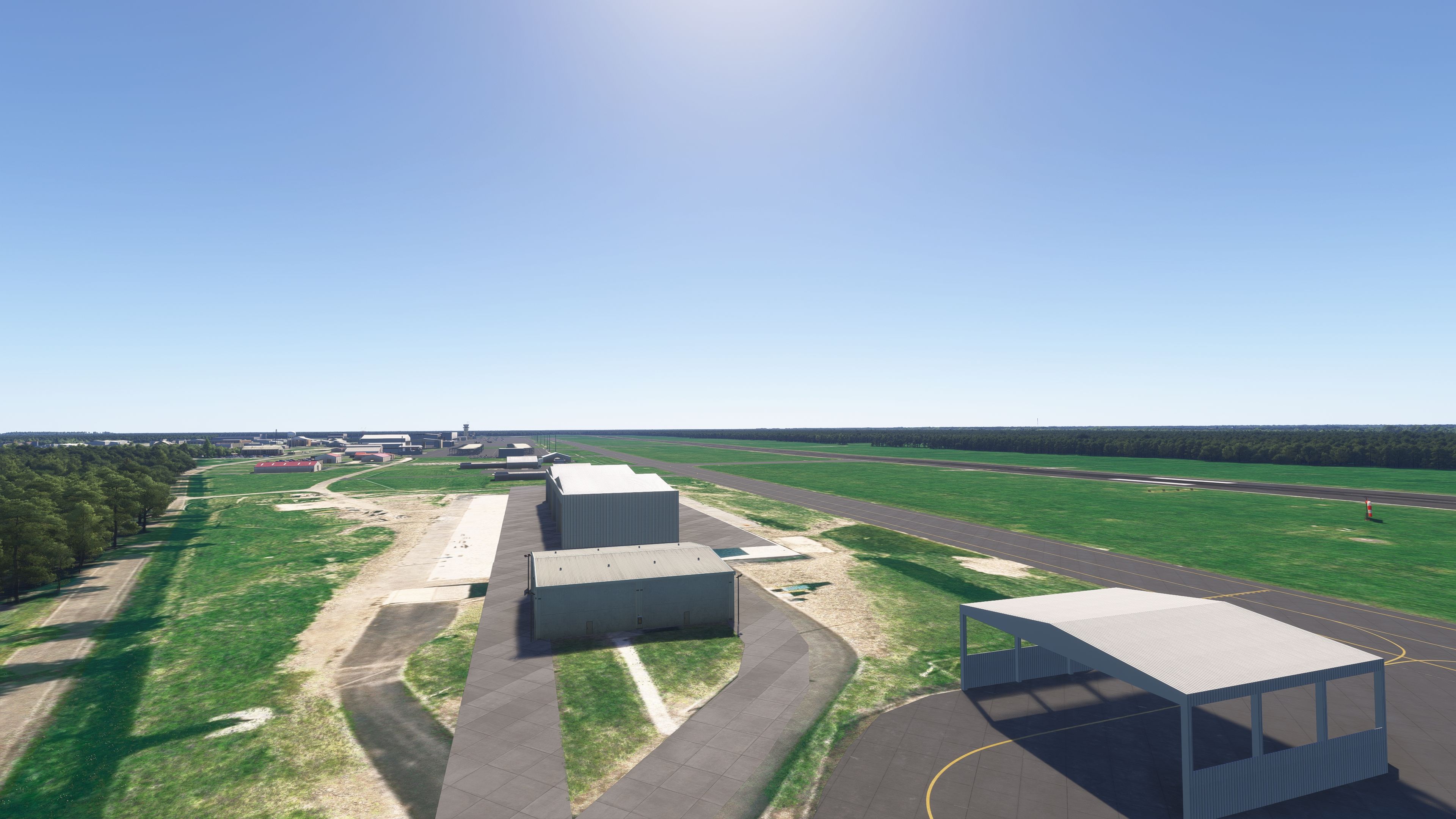
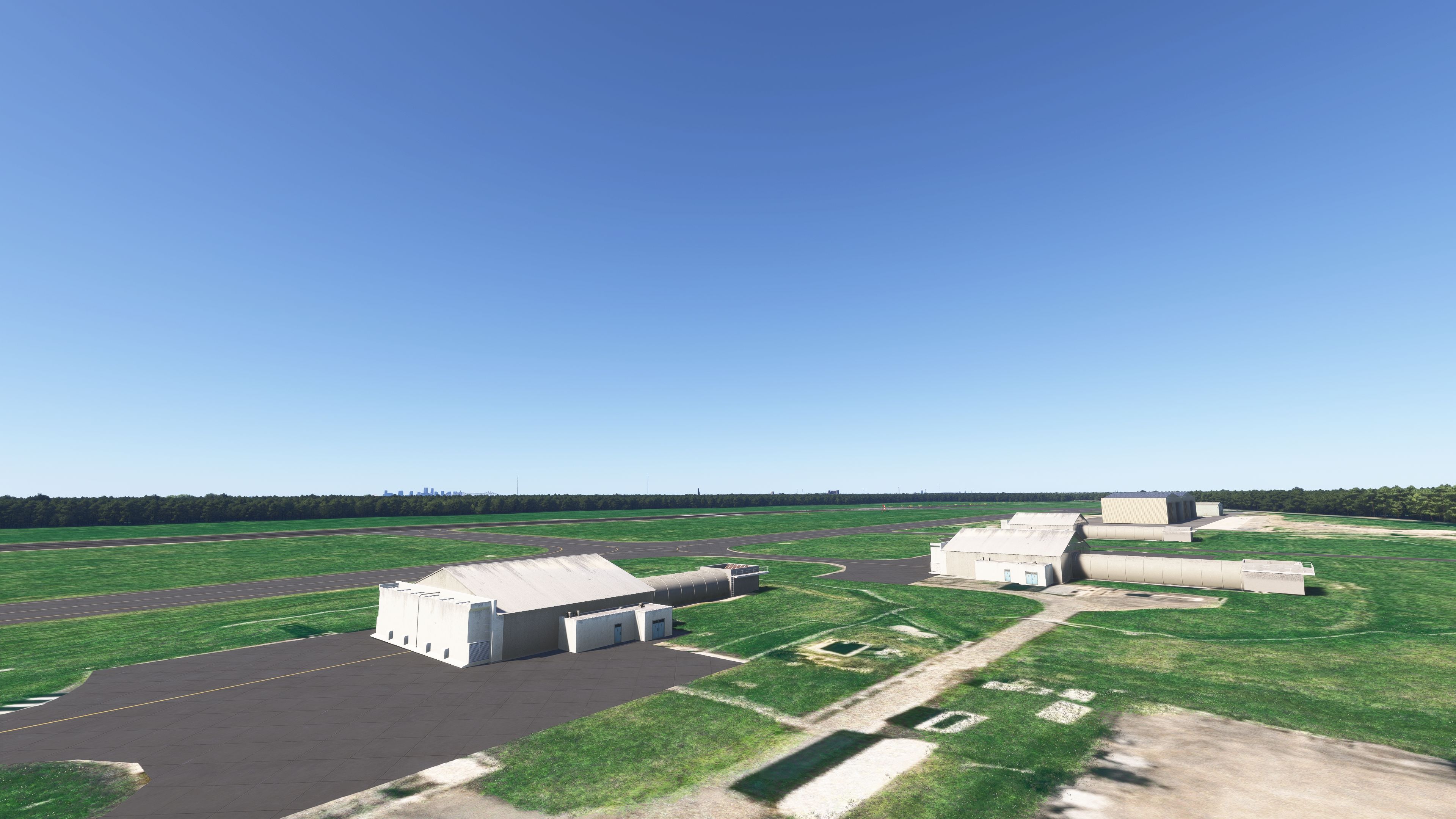
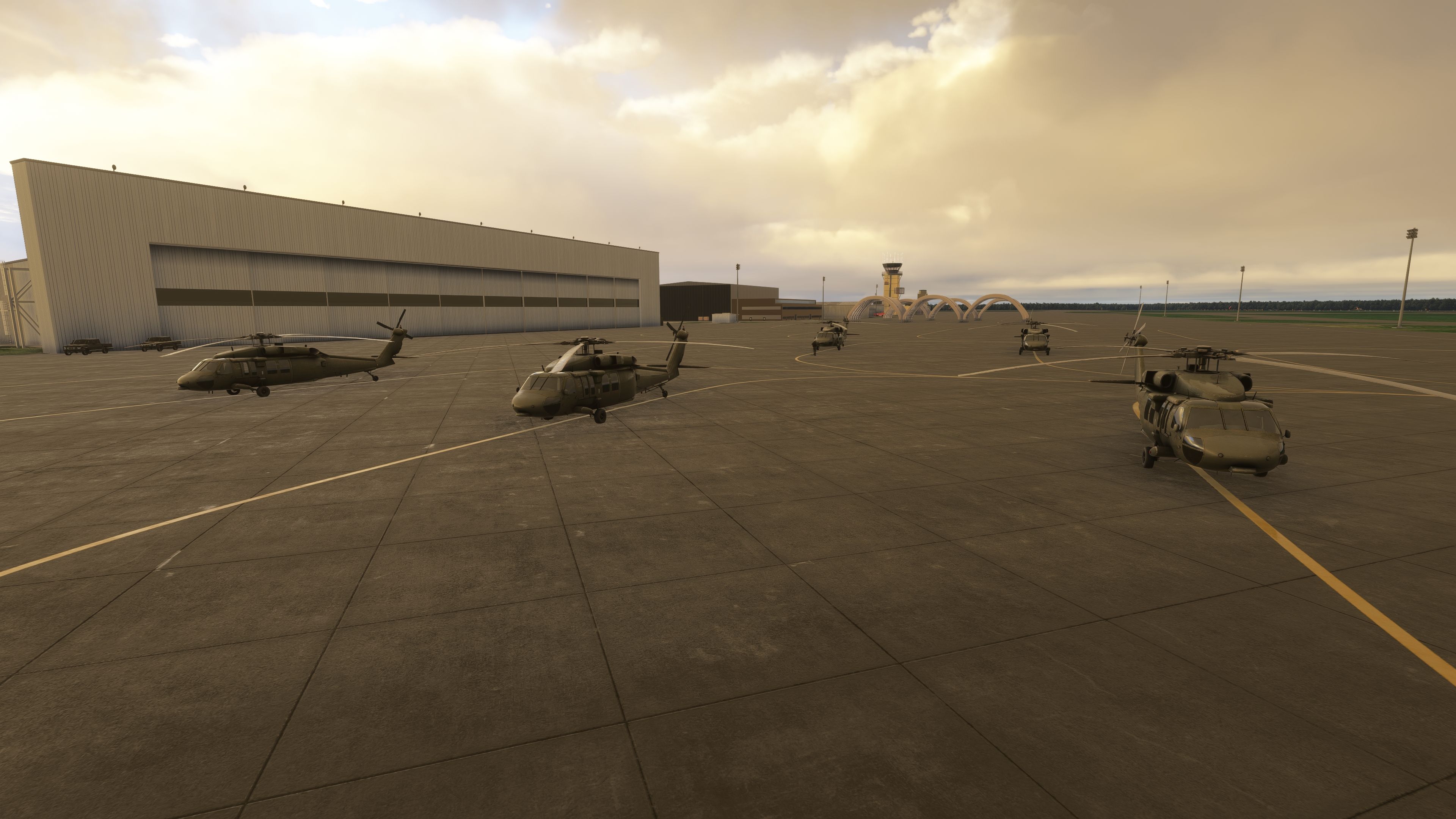
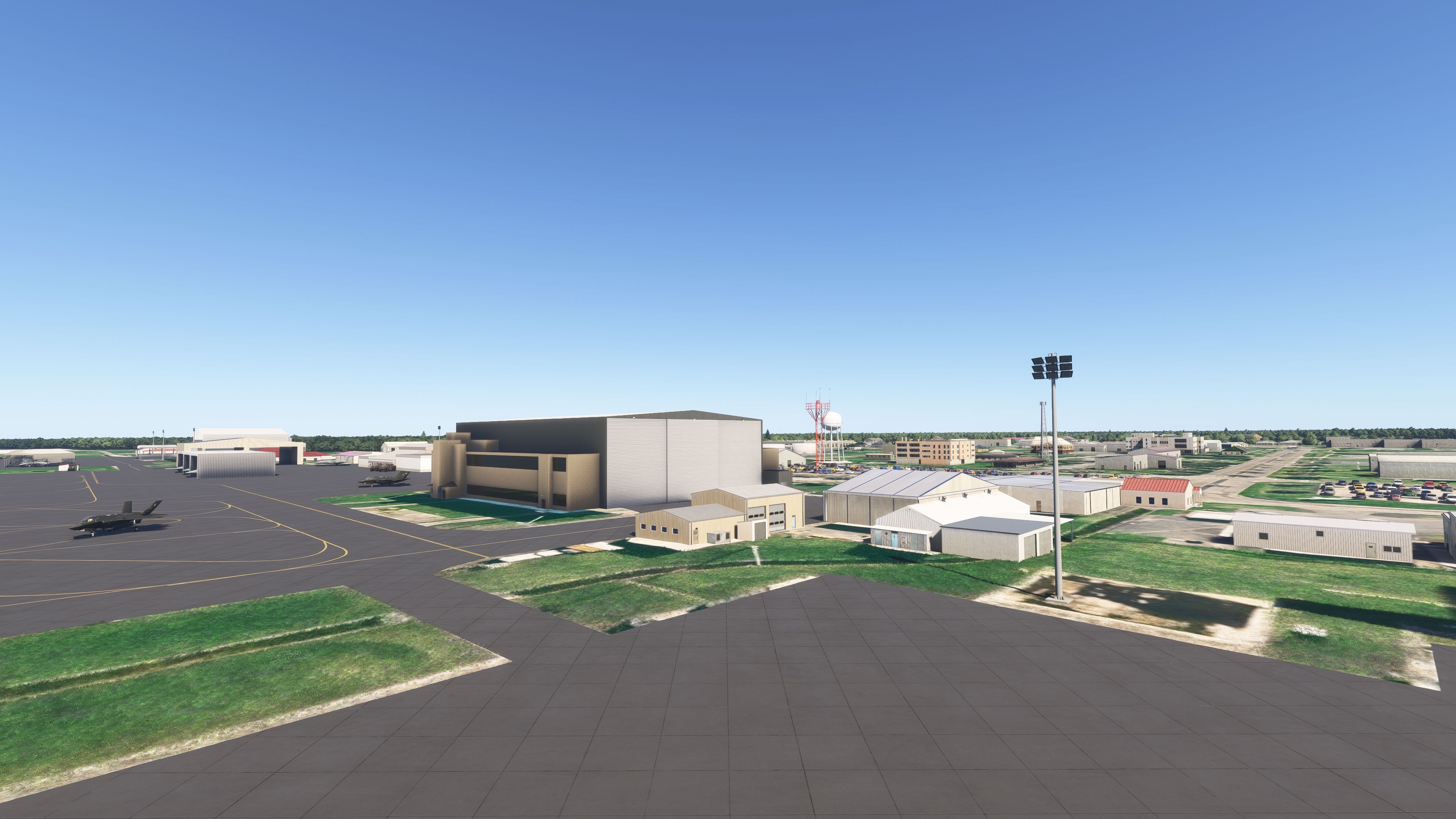
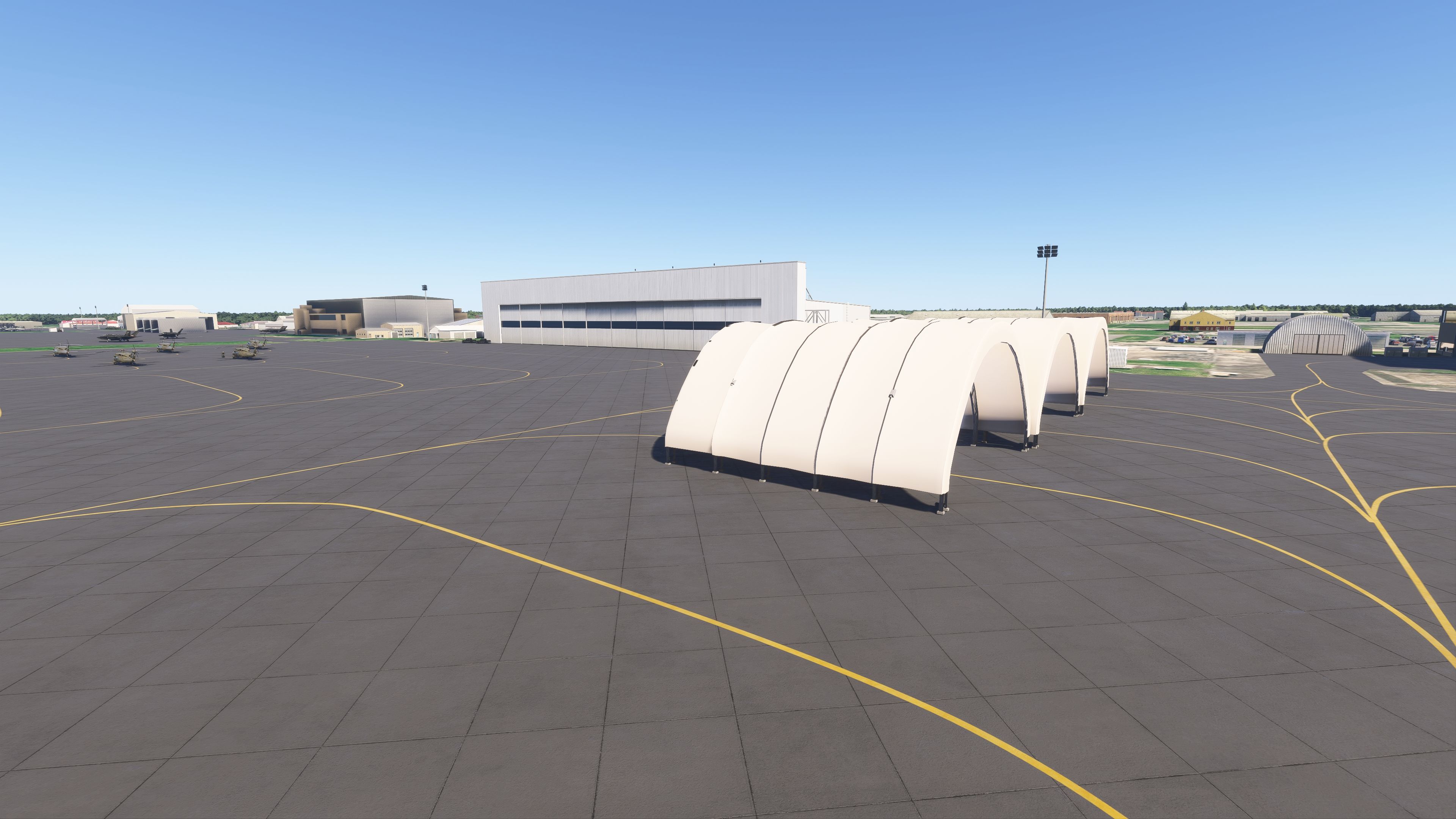
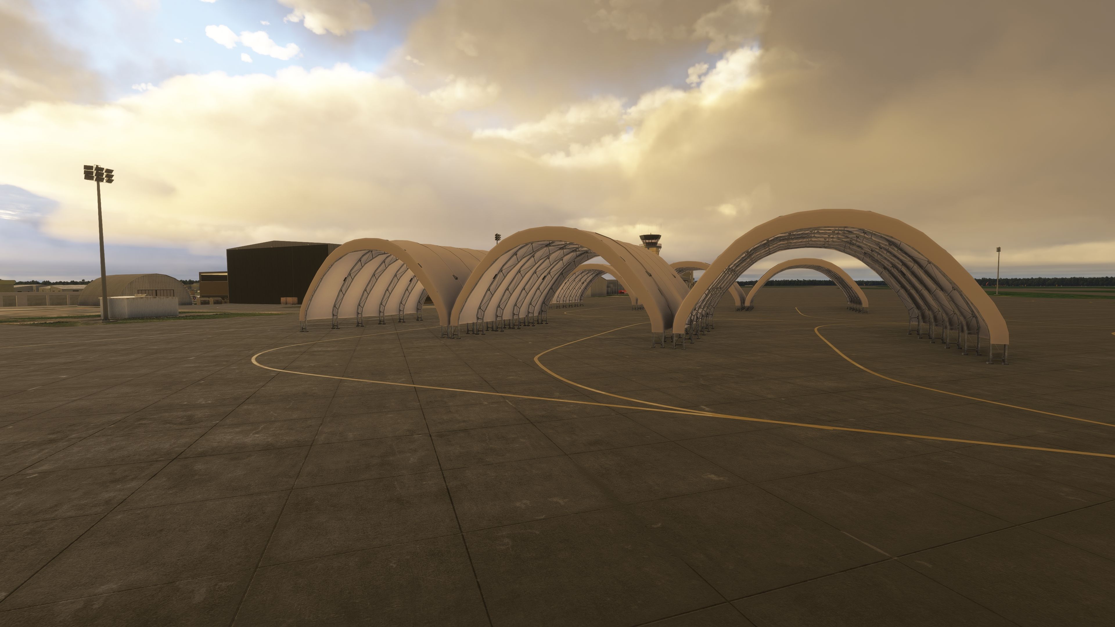
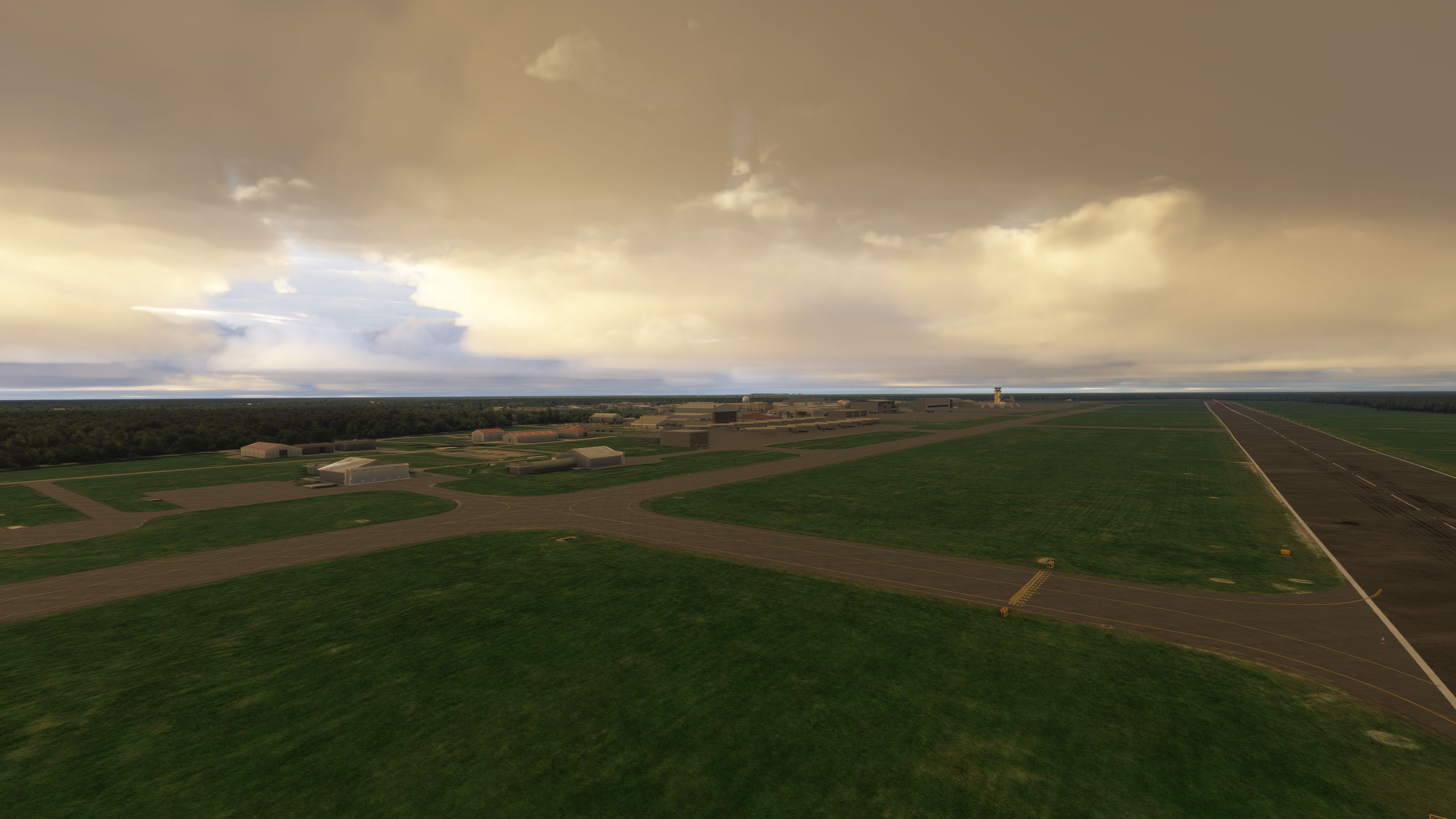
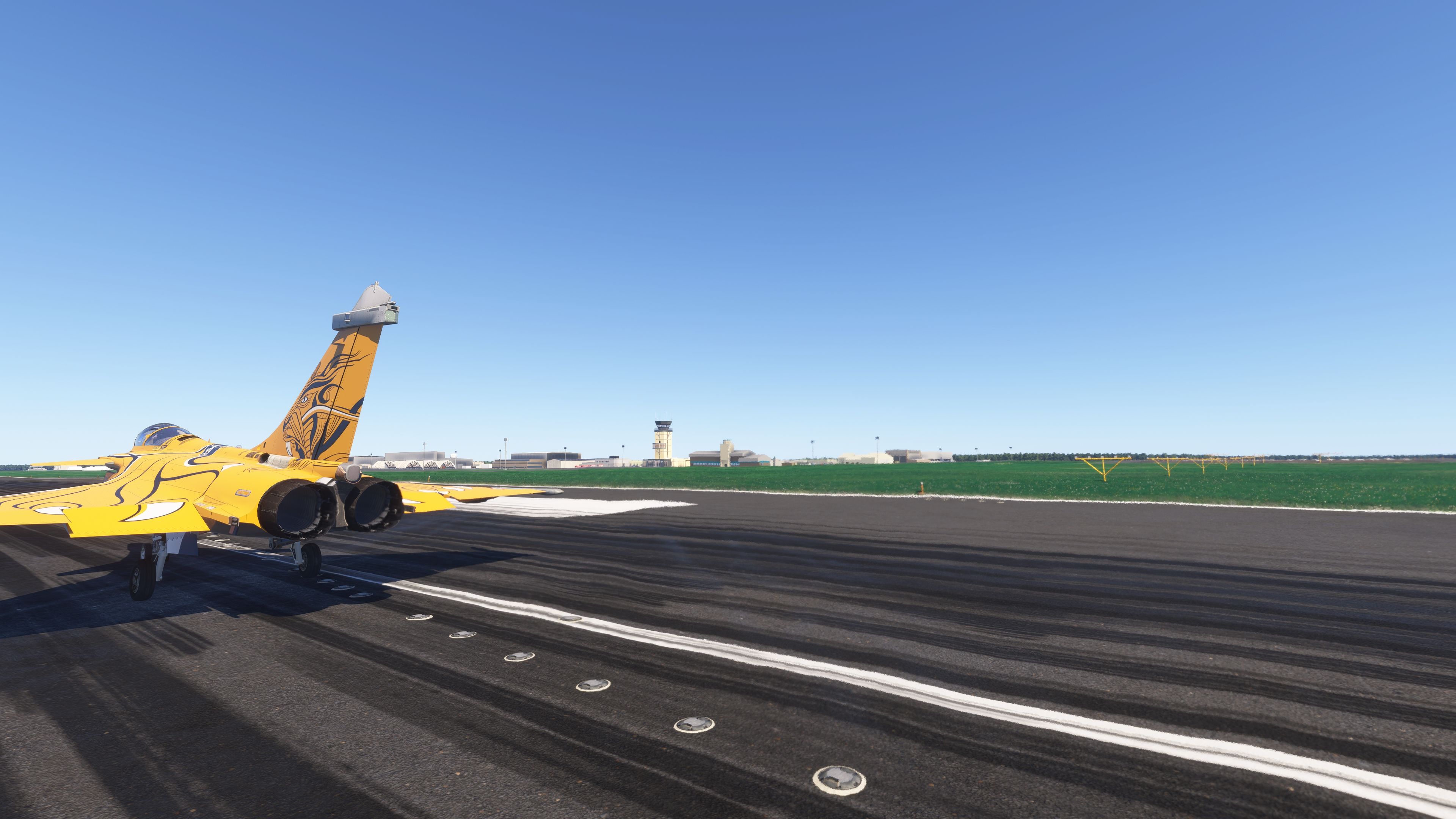
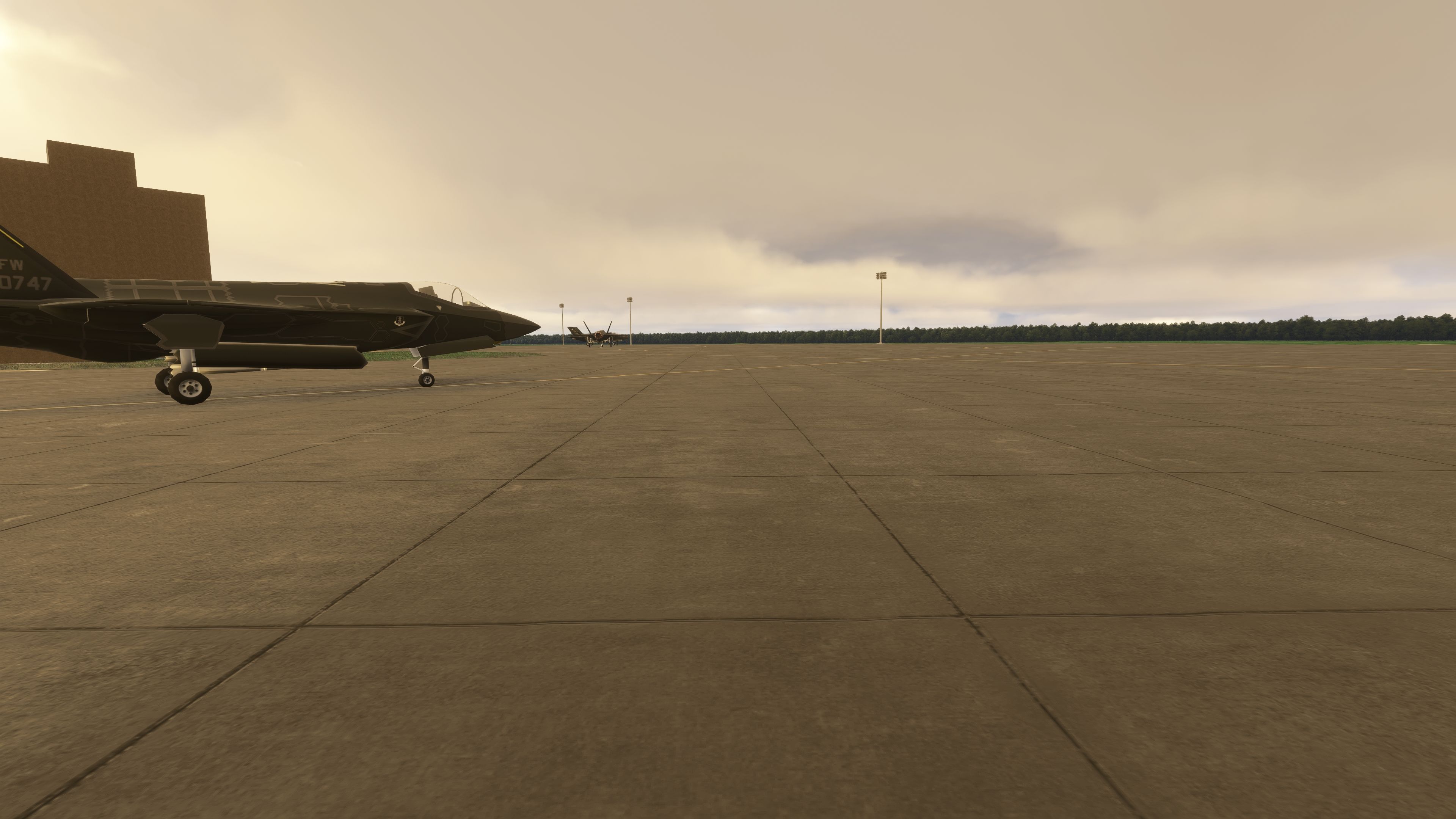
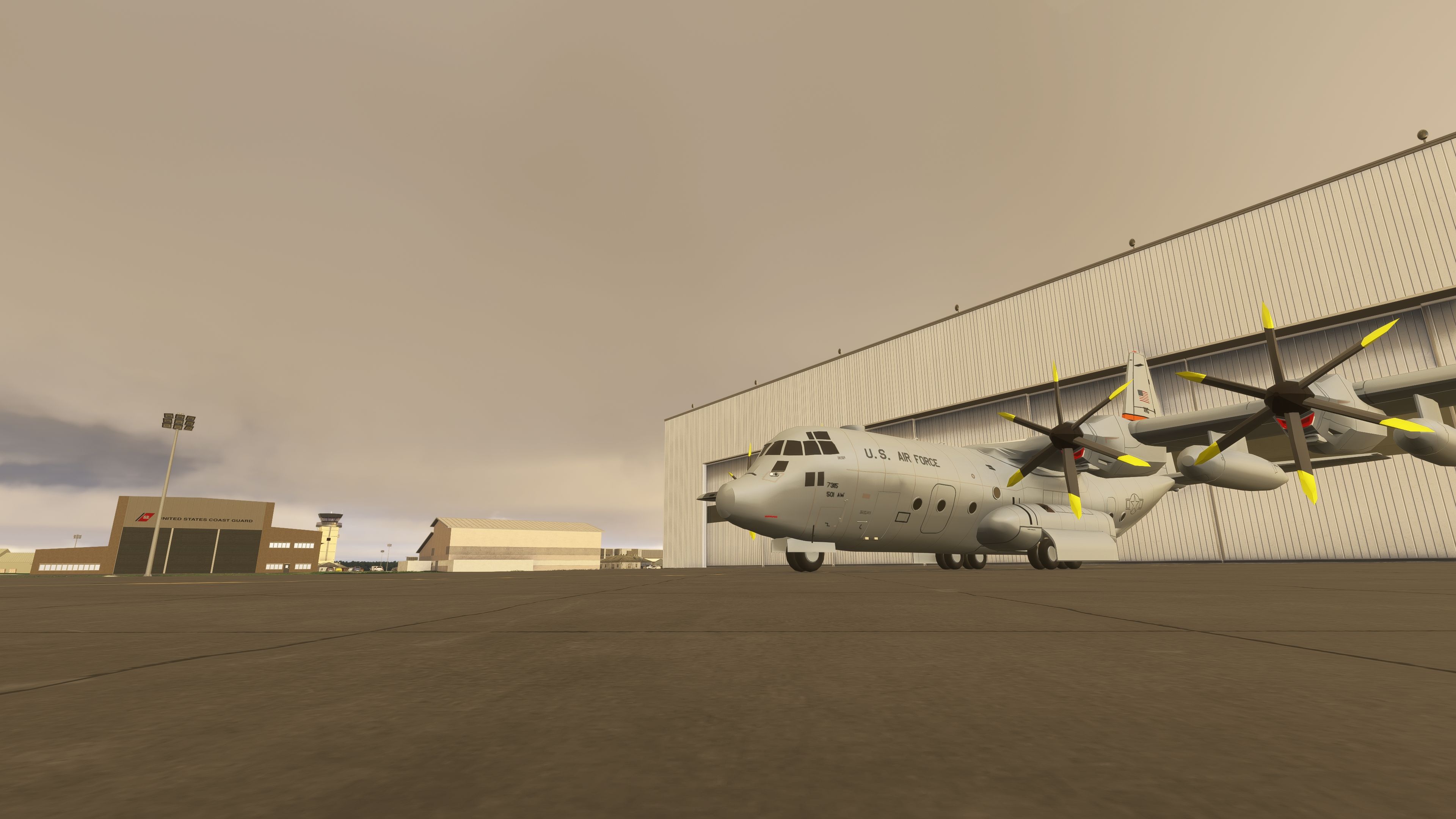
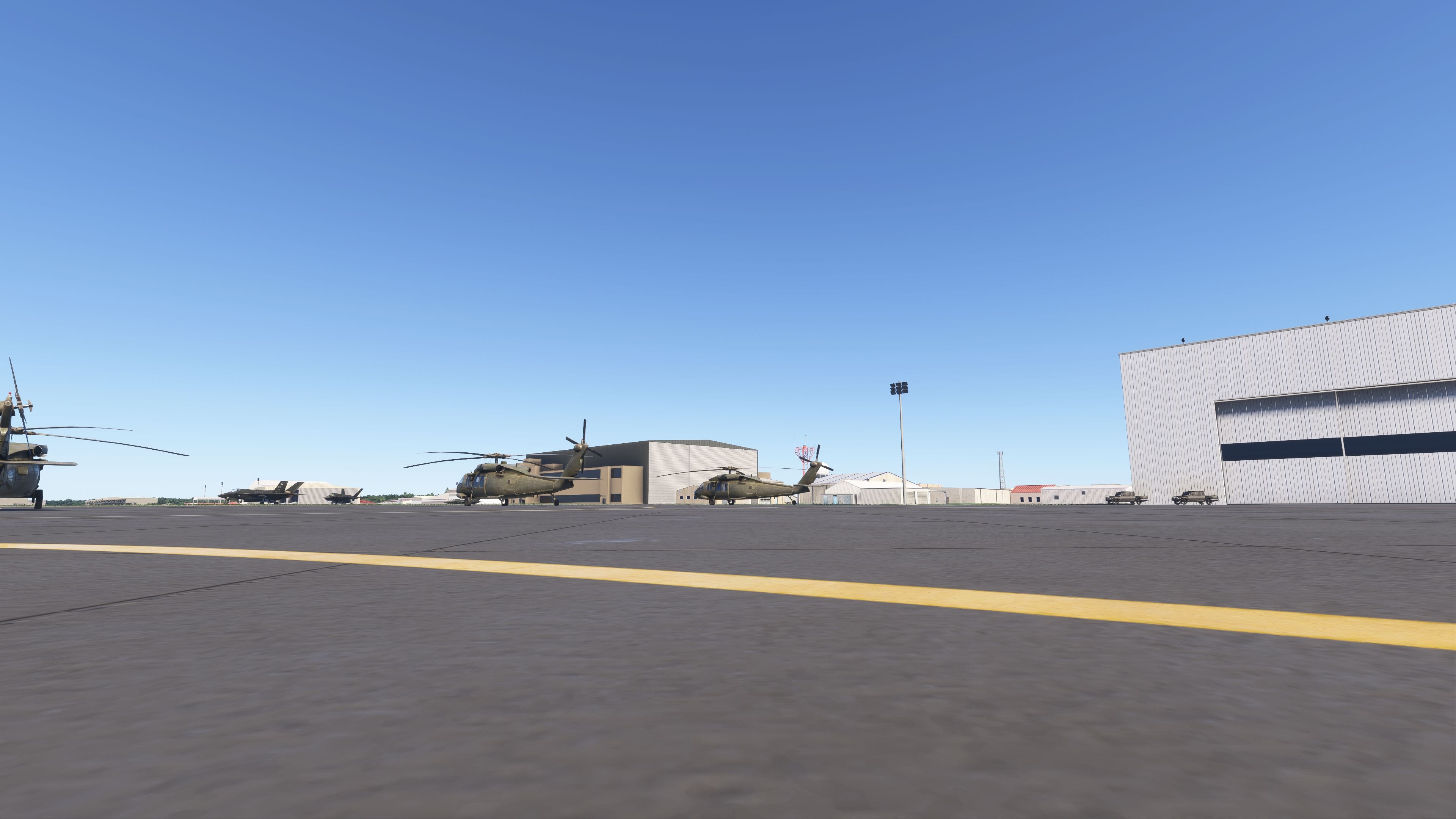
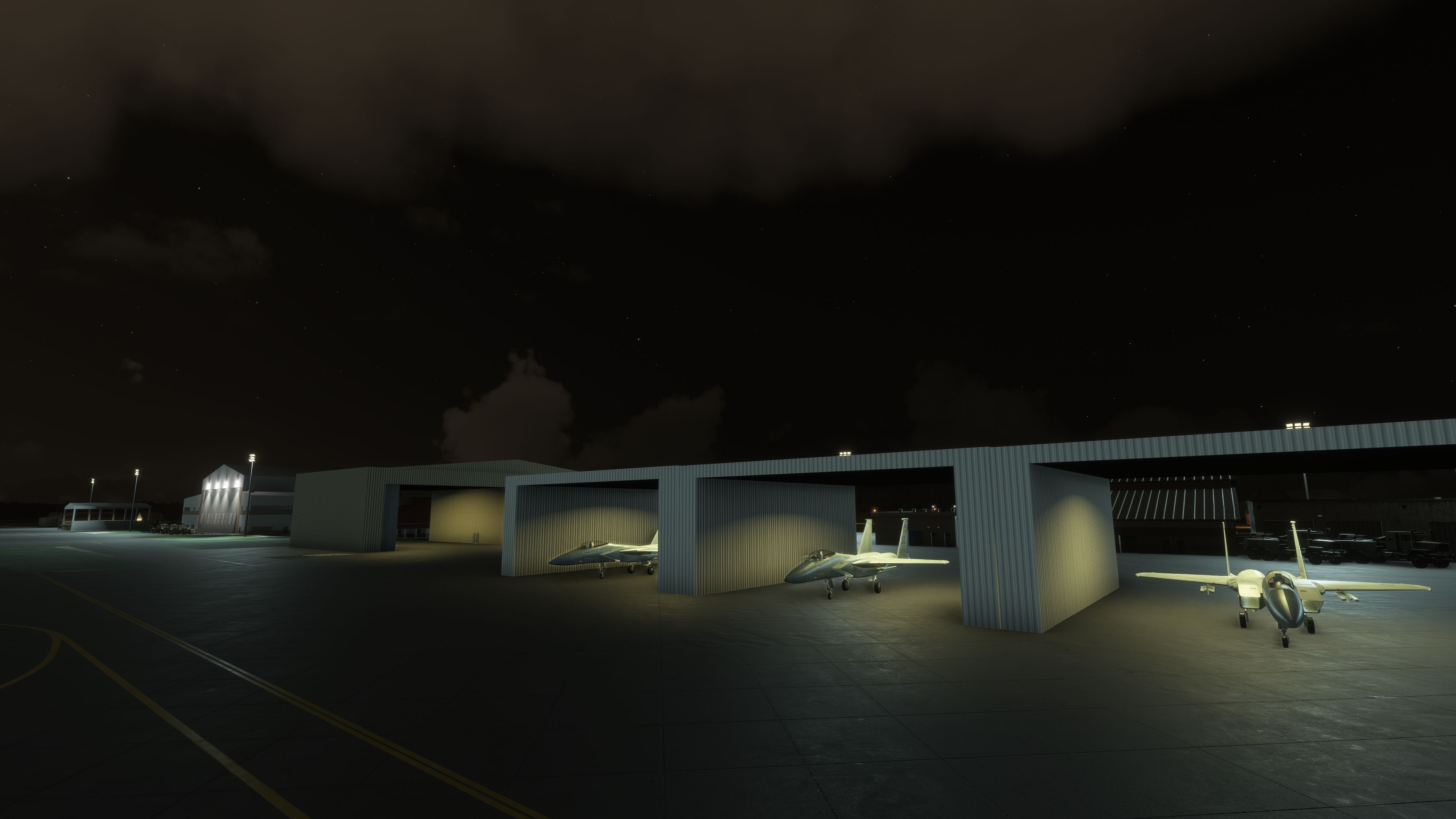
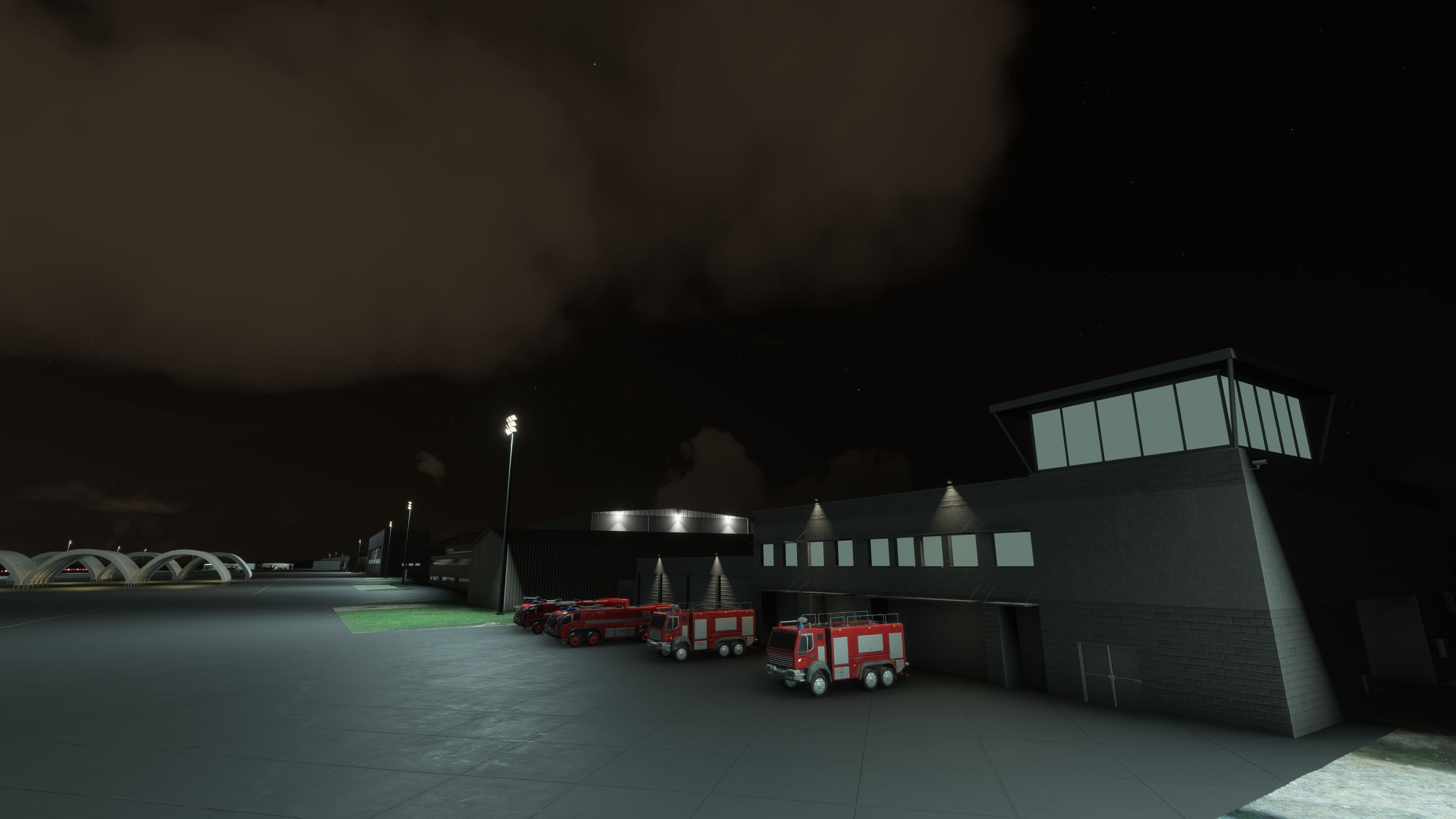
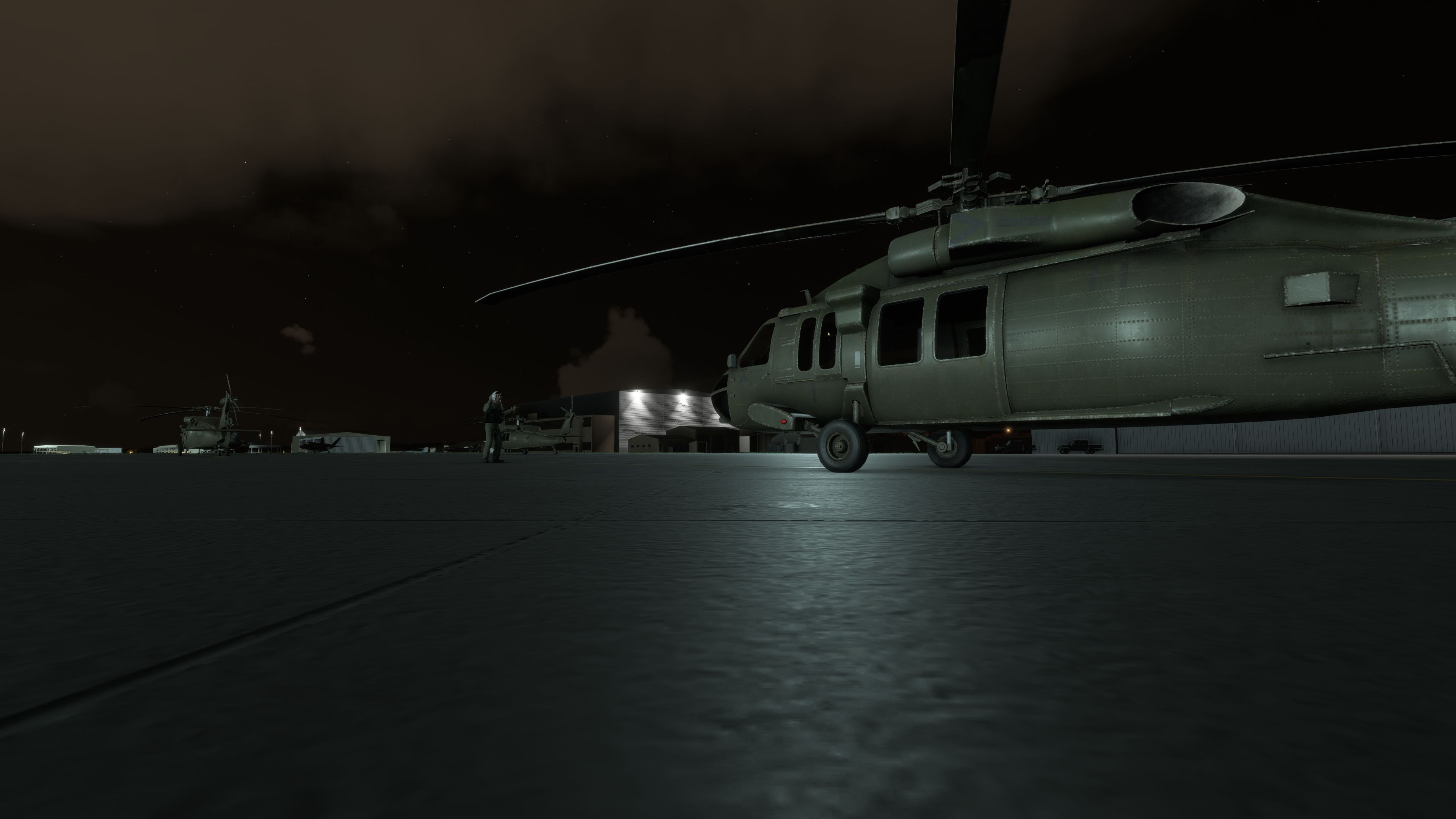
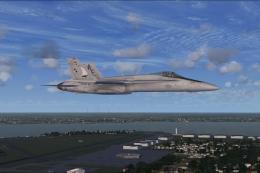
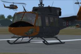
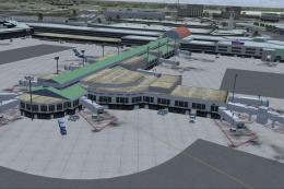
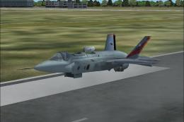
This scenery package focuses on Naval Air Station Joint Reserve Base New Orleans in Belle Chasse, Louisiana, offering a detailed rendition of the military airport and its associated facilities for the new Microsoft Flight Simulator. Nestled near the city’s core, this base hosts multiple U.S. Navy Reserve units, the 159th Fighter Wing under the Air National Guard, Coast Guard Air Station New Orleans, a Marine Corps Reserve helicopter detachment, and various other active-duty contingents. Frequent operations emphasize continuous NORAD air defense support and critical Coast Guard missions involving much-needed search-and-rescue coverage.
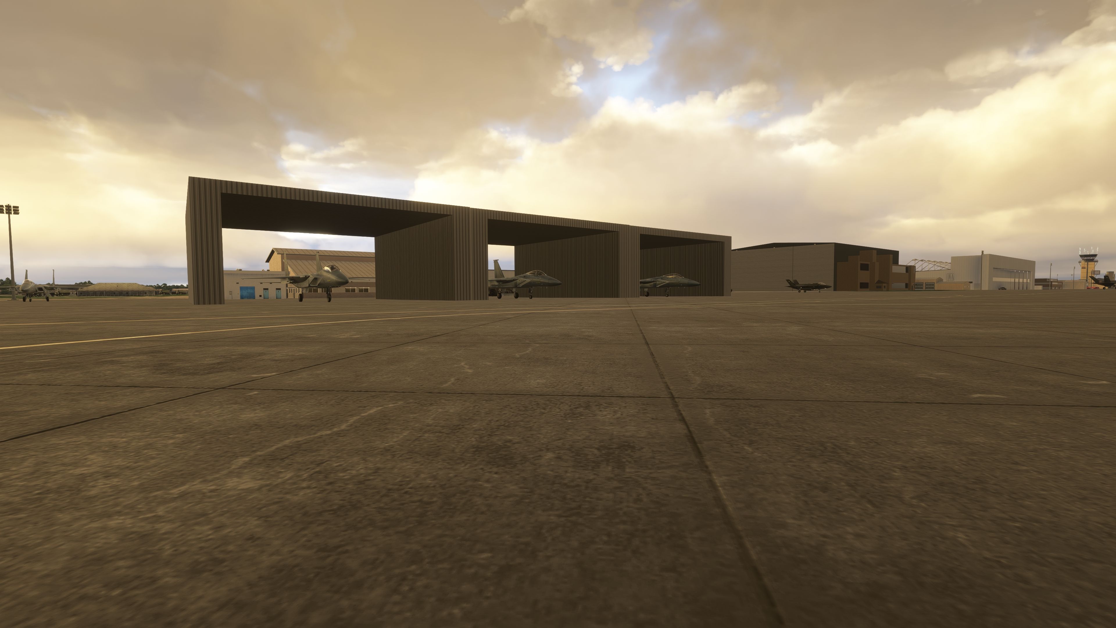
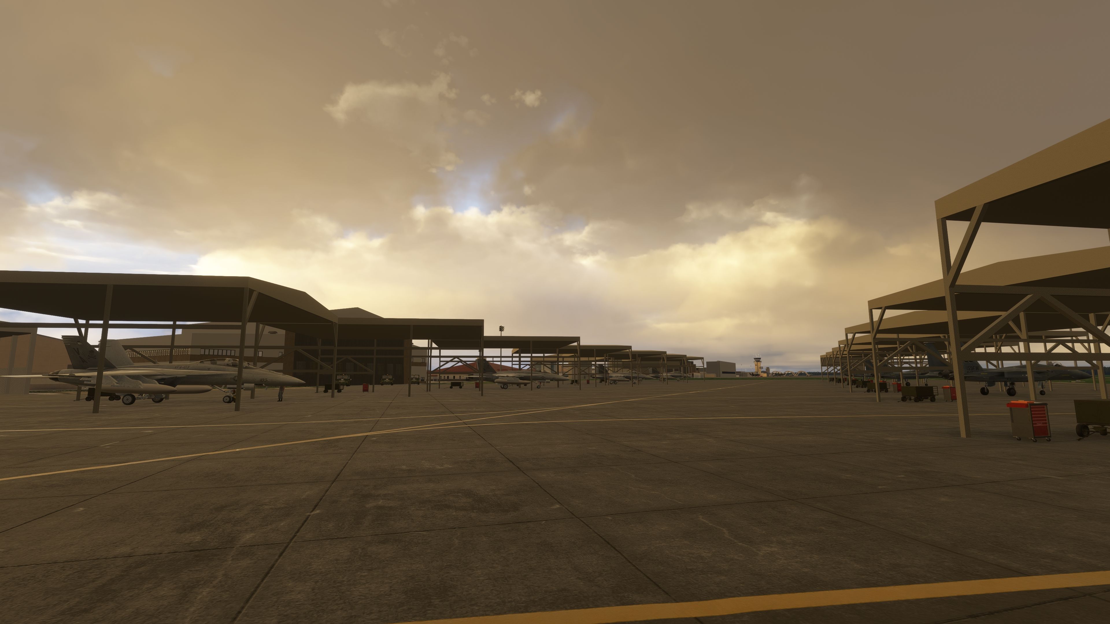
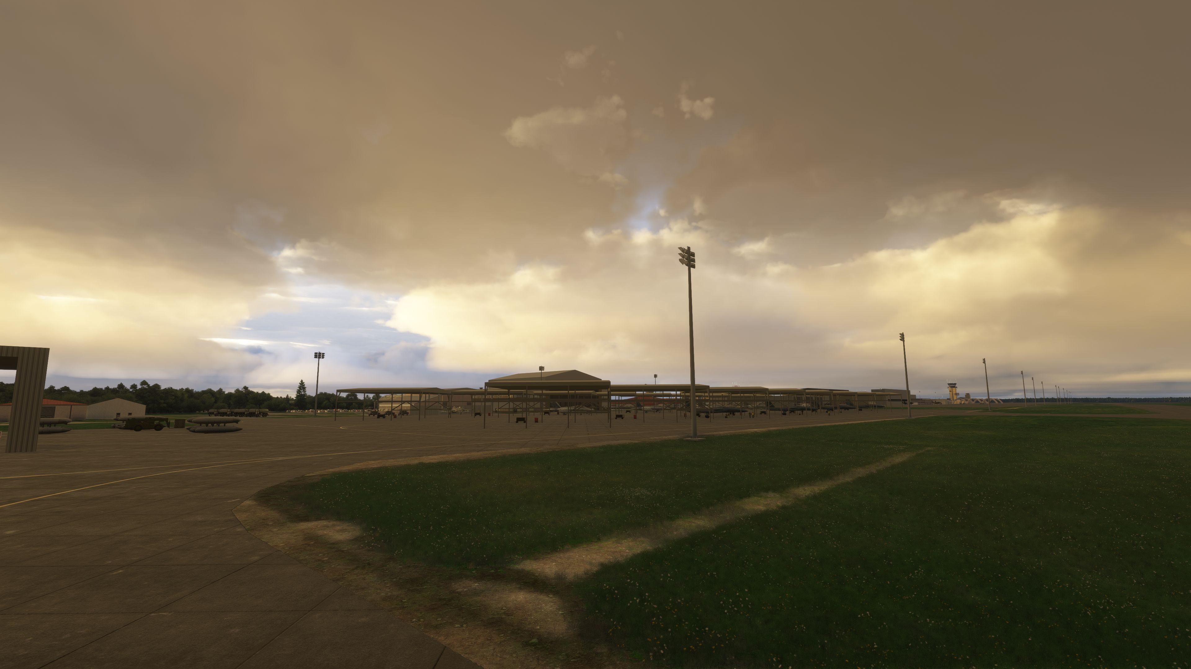
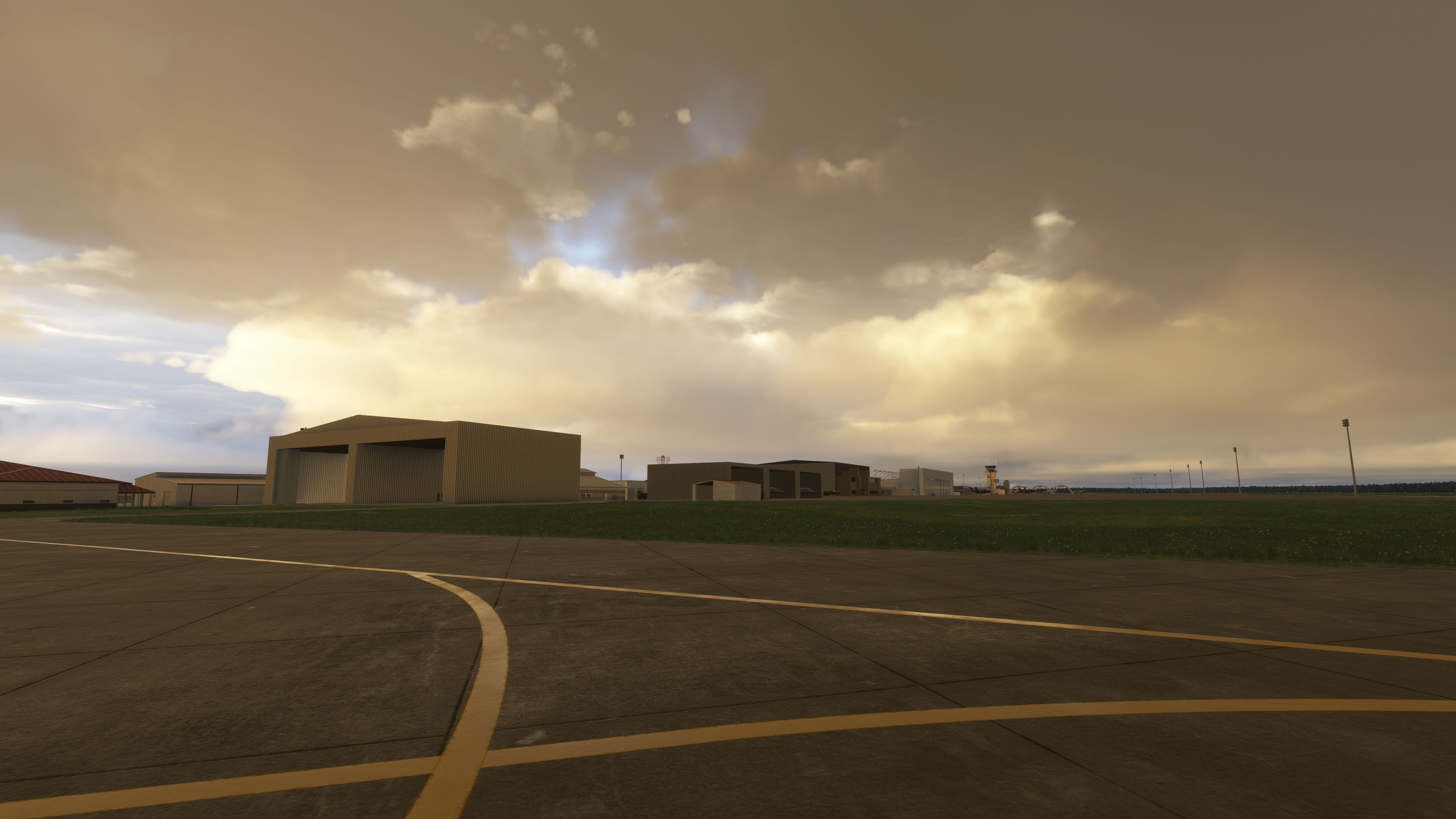
Enhanced Military Installations
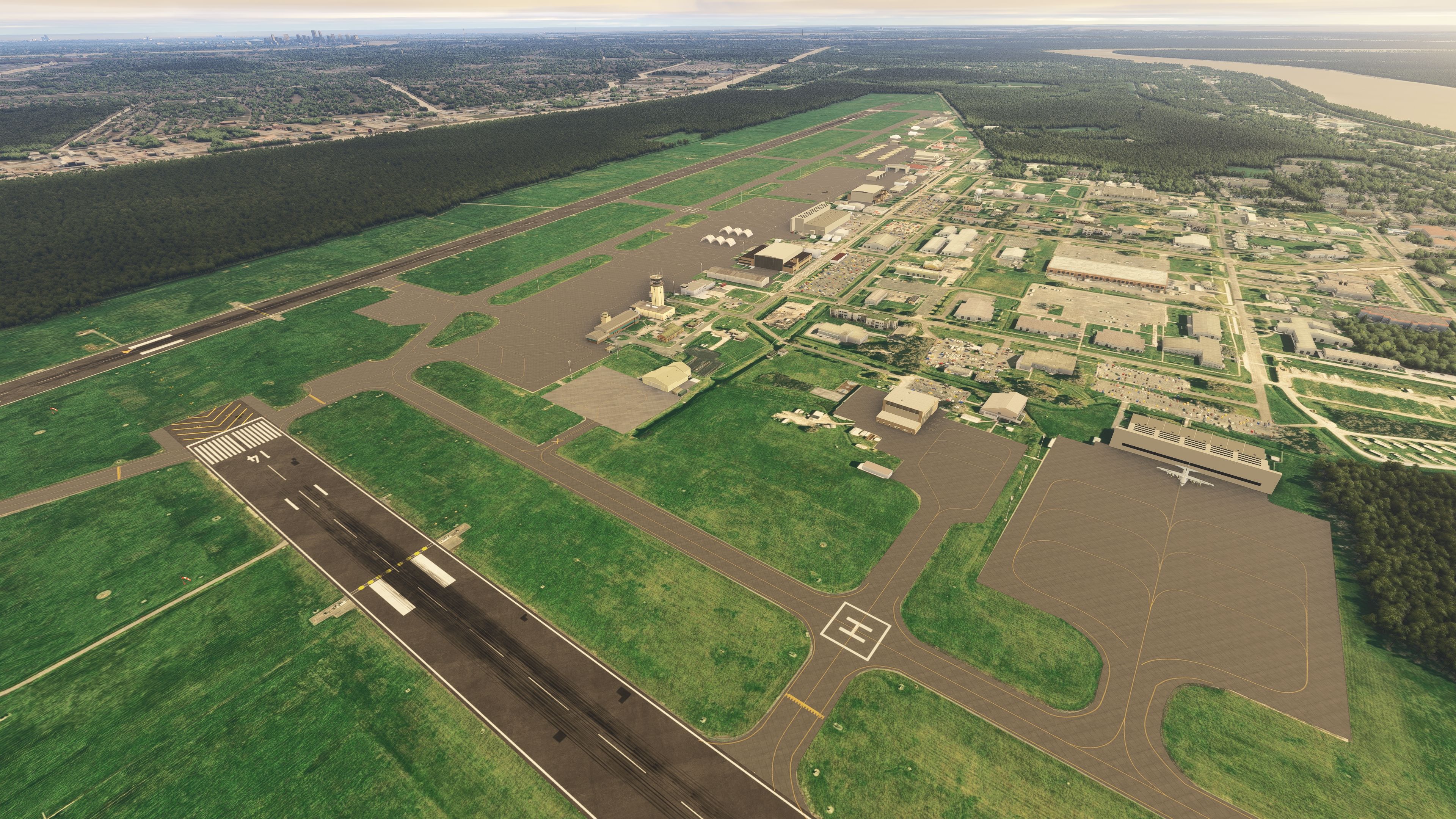
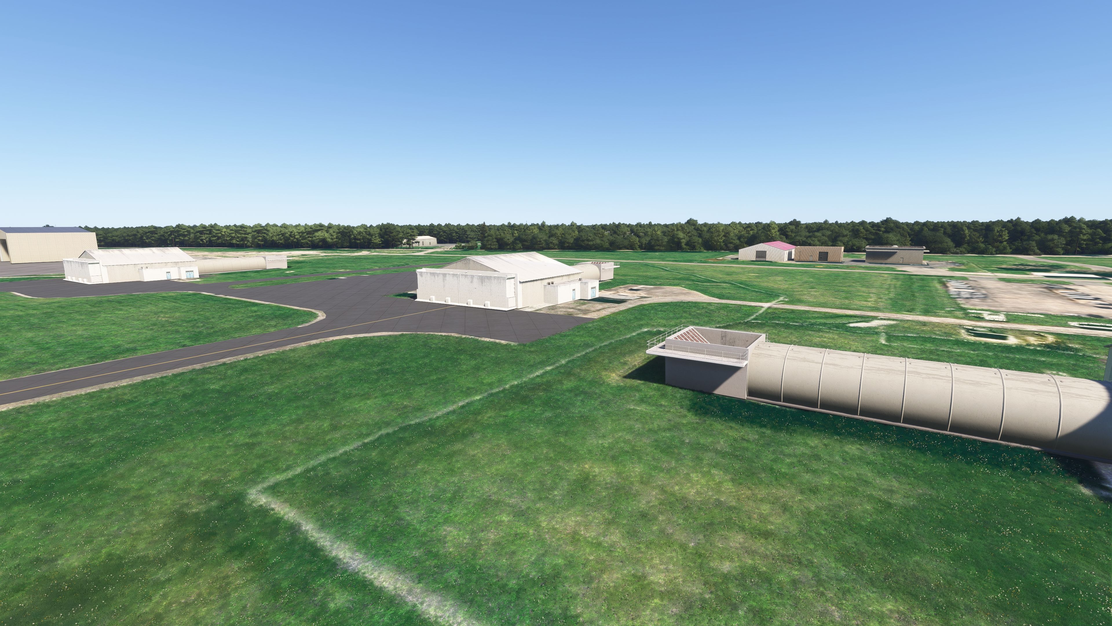
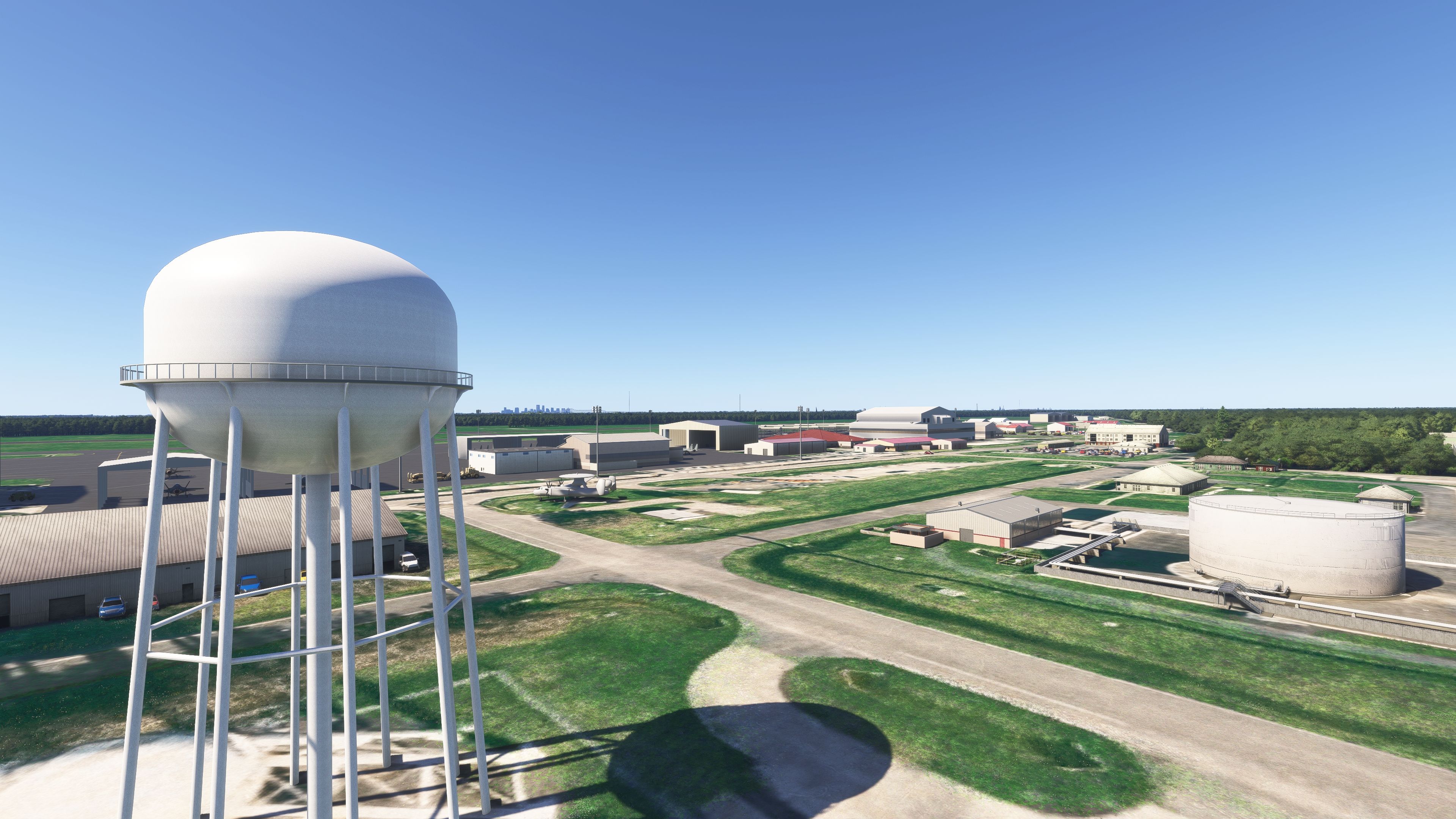
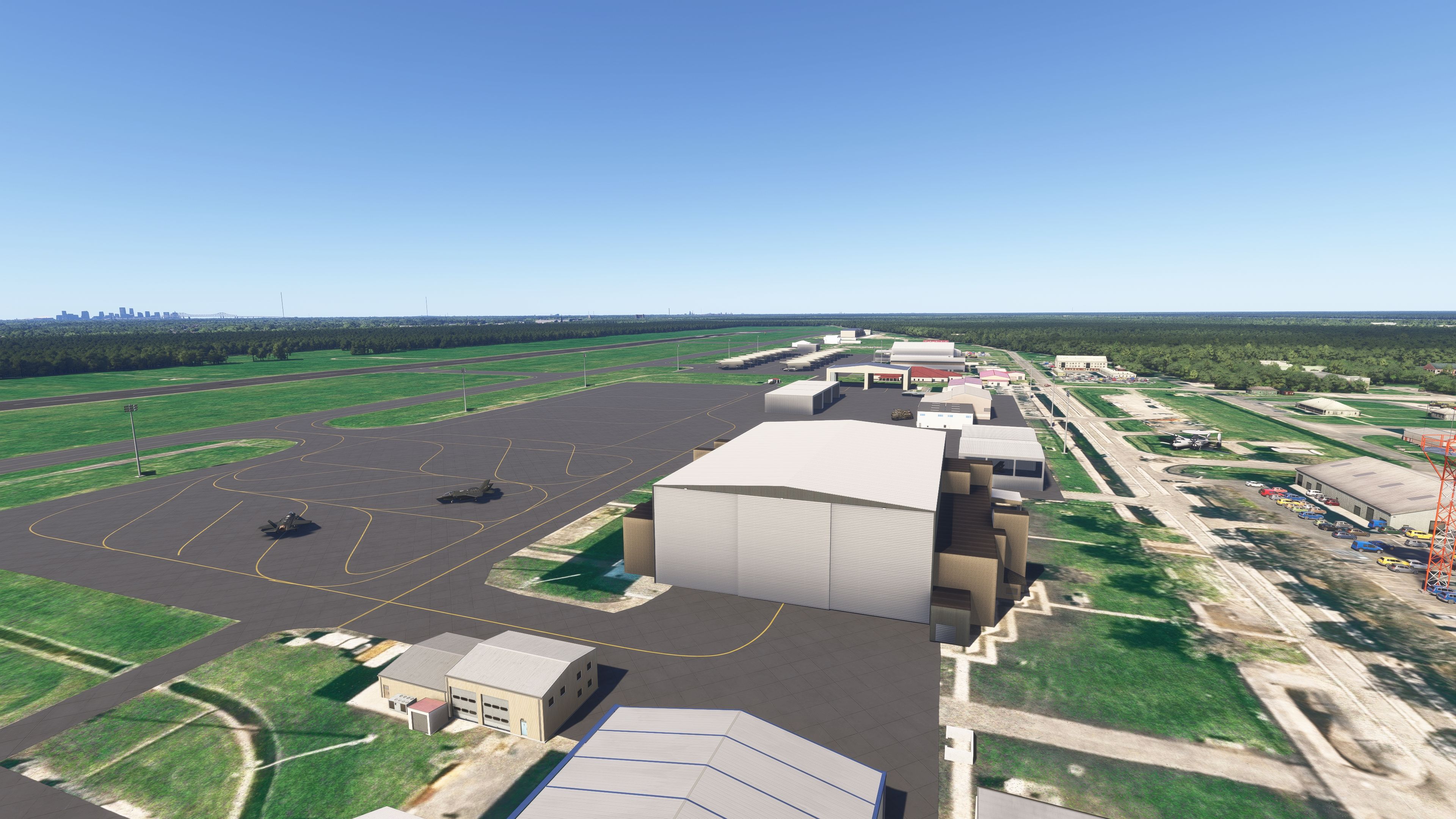
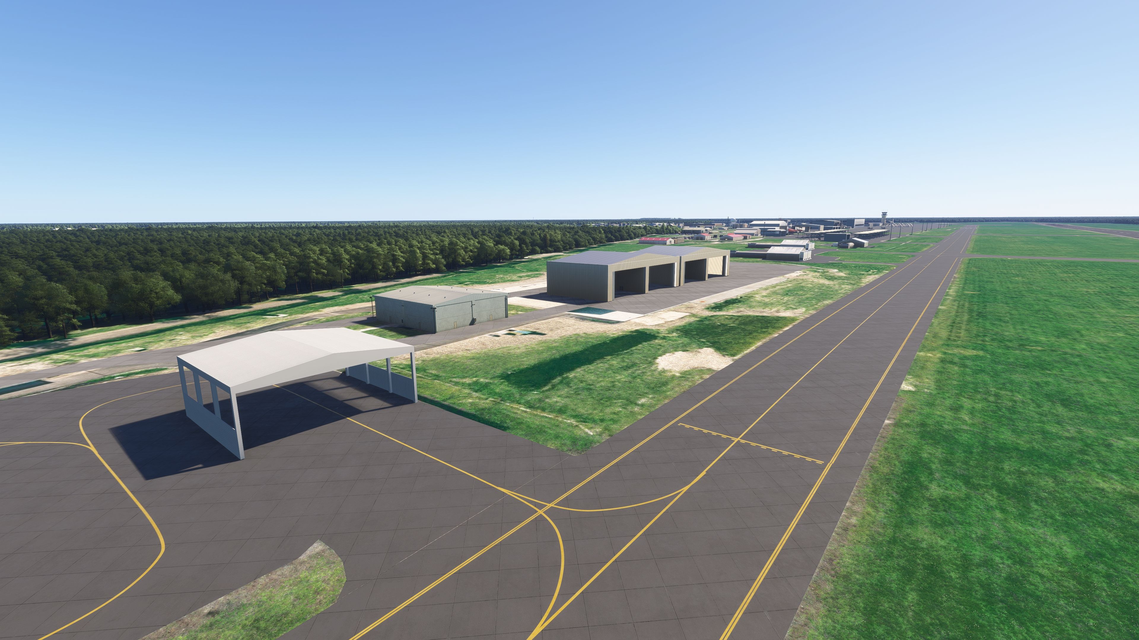
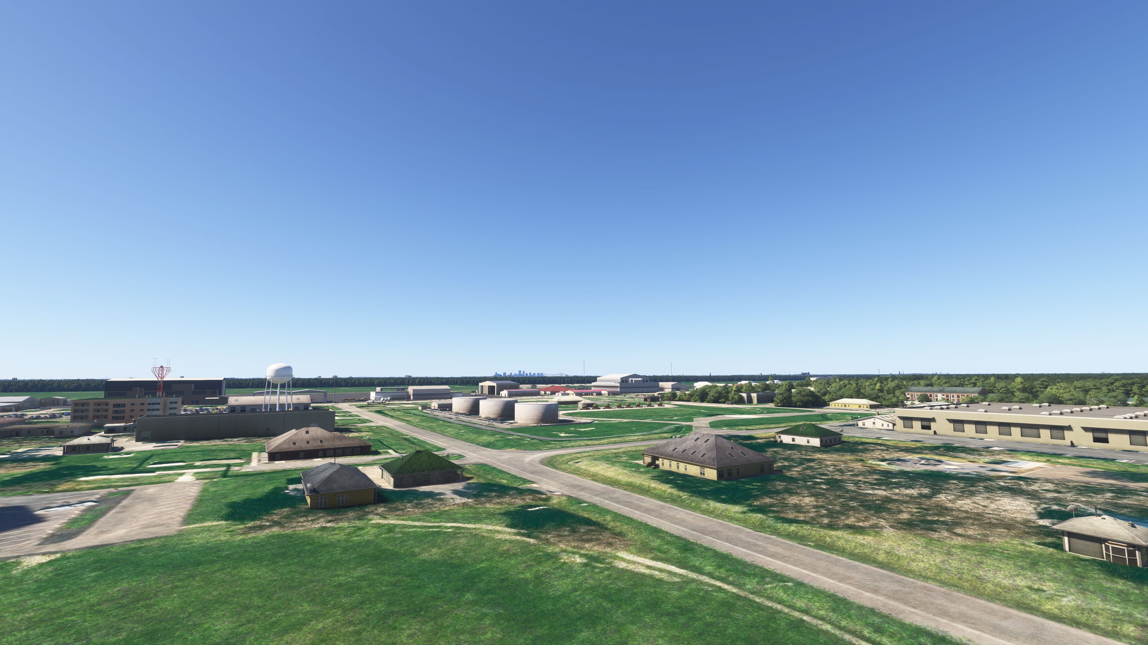
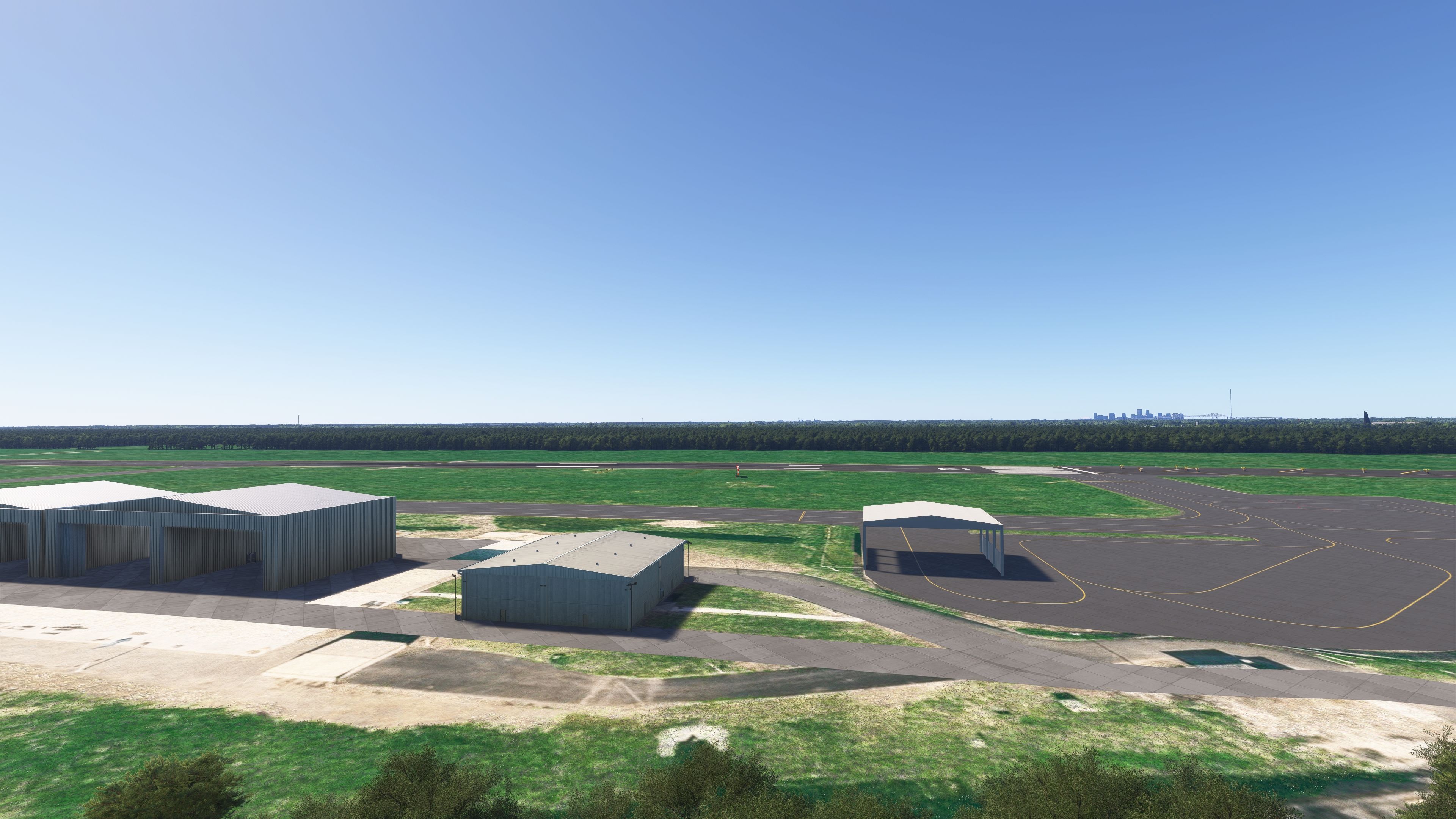
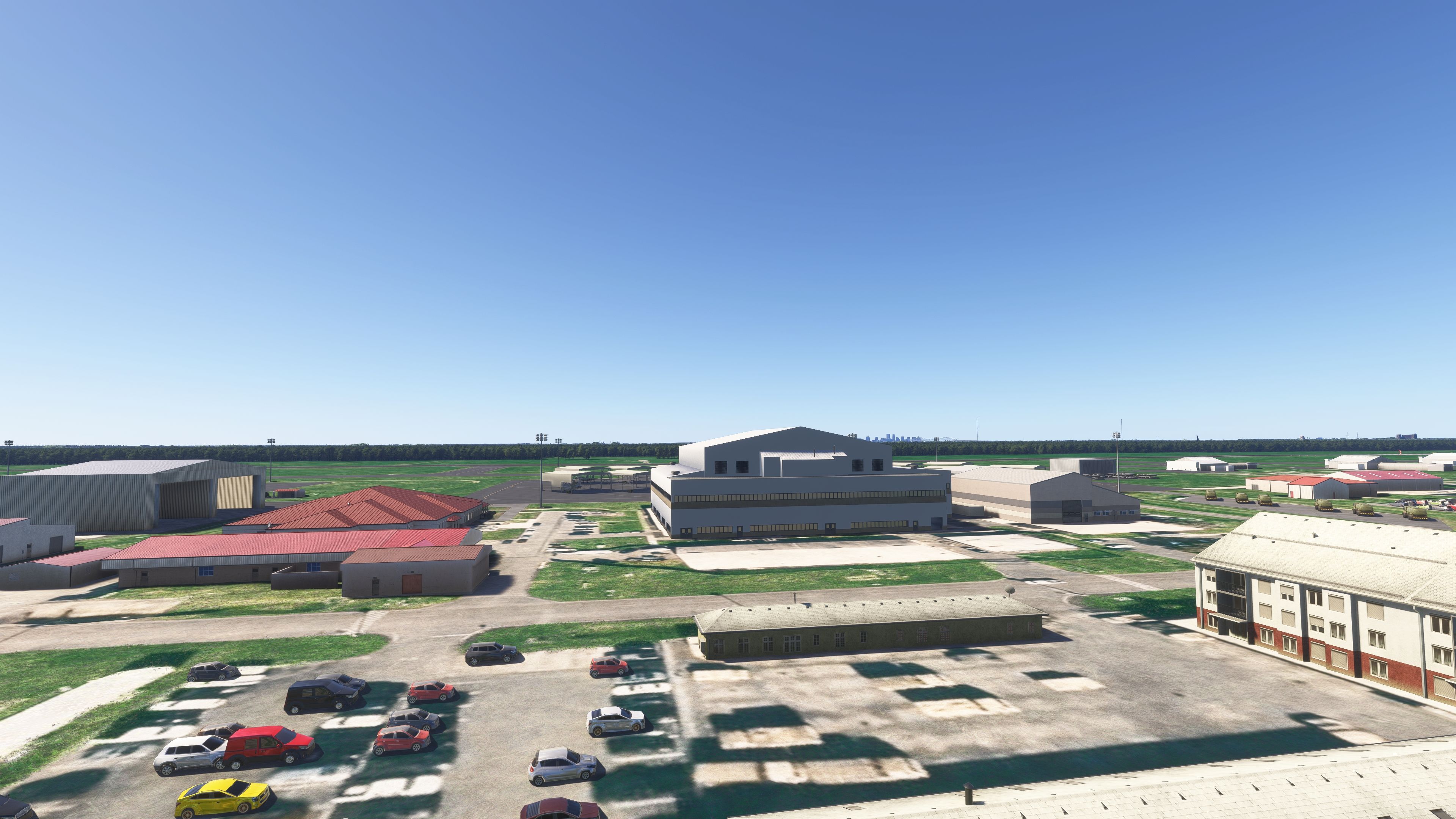
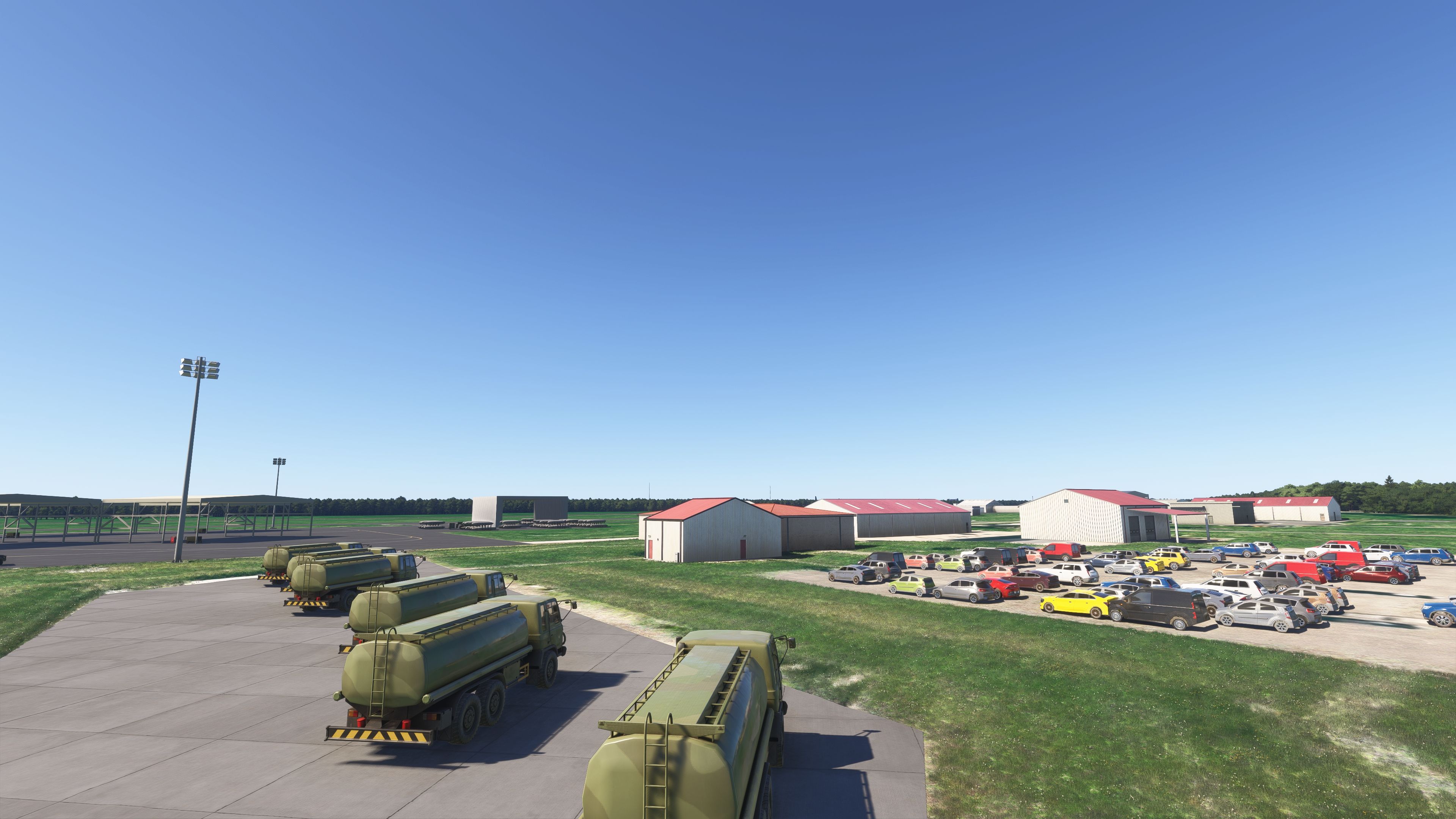
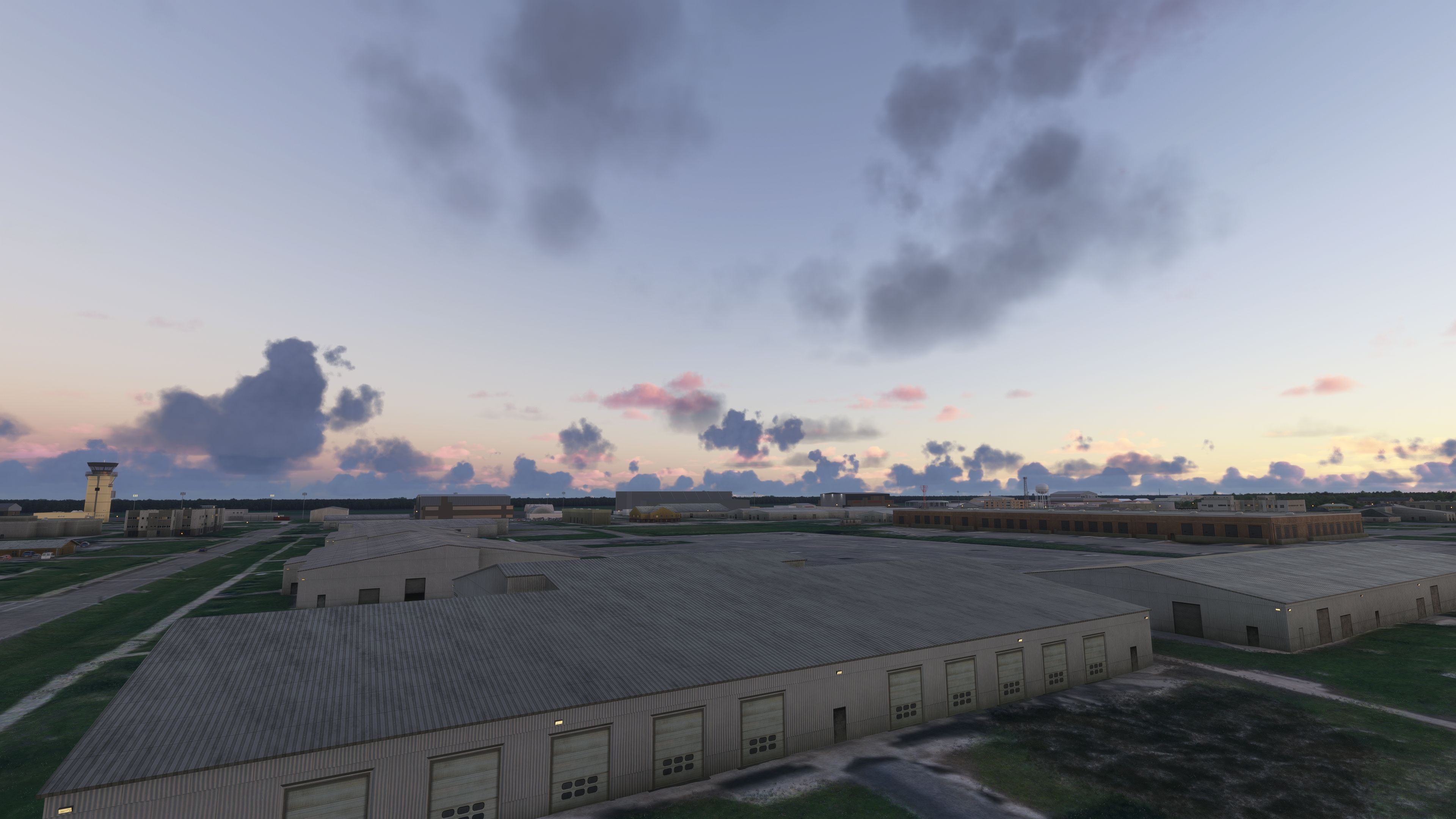
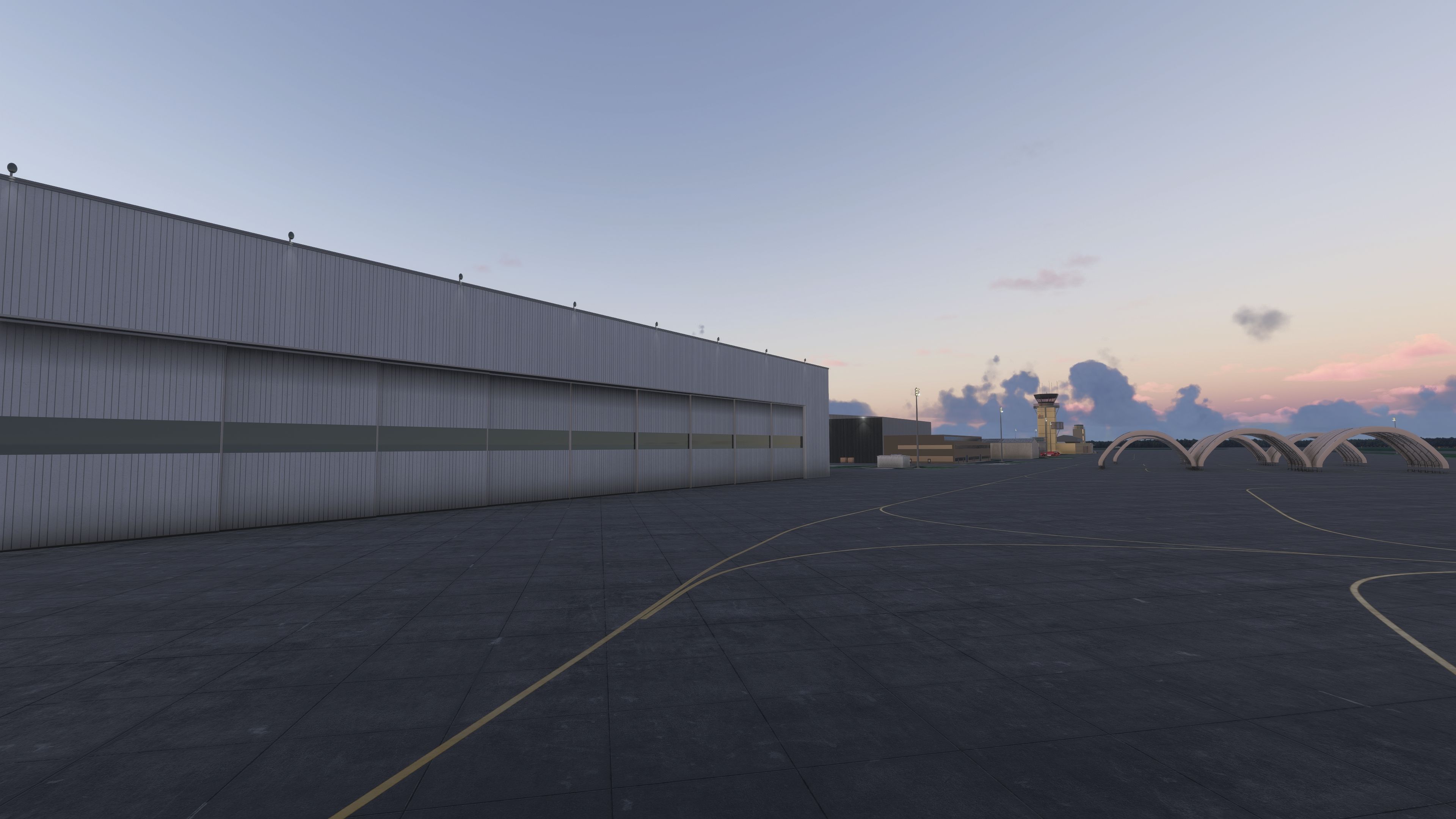
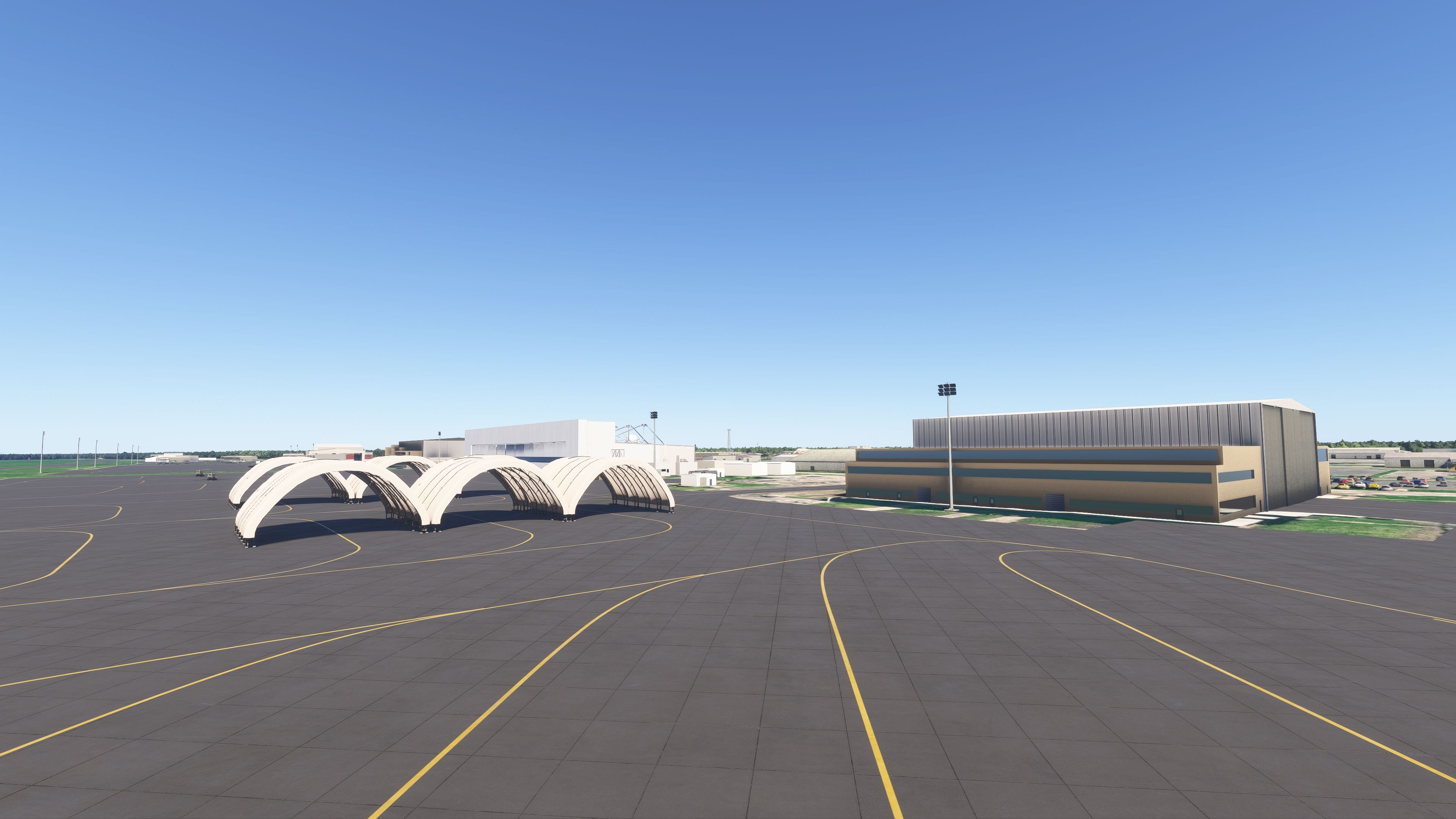
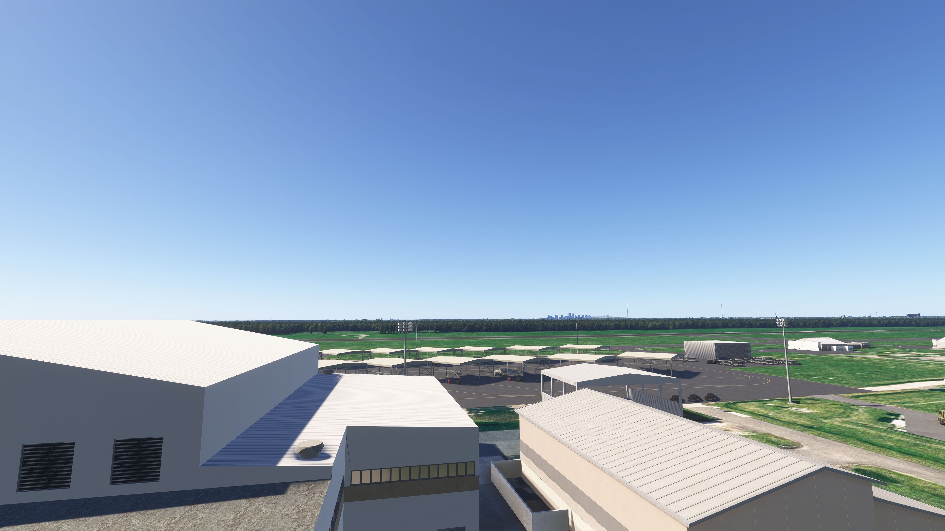
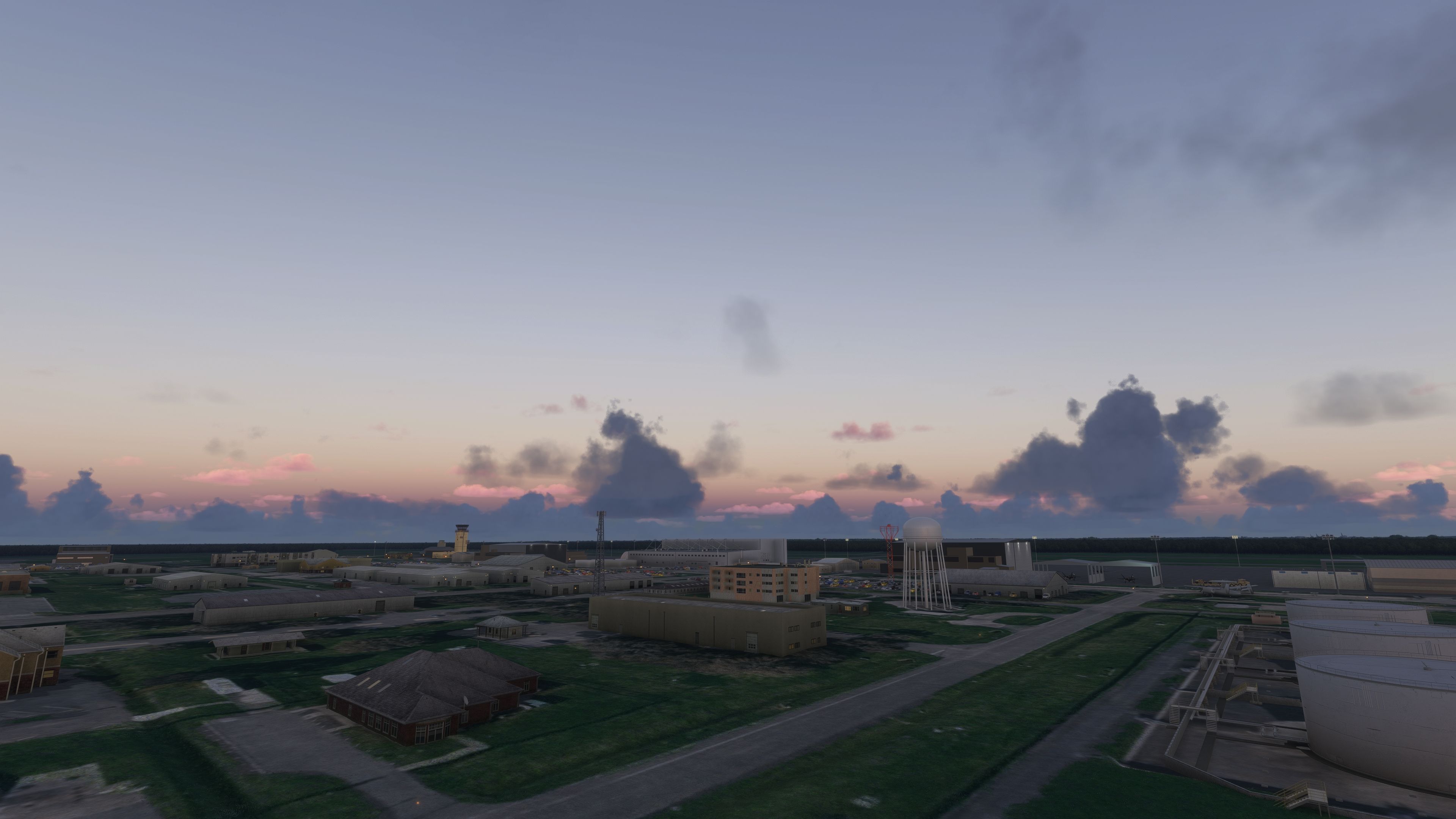
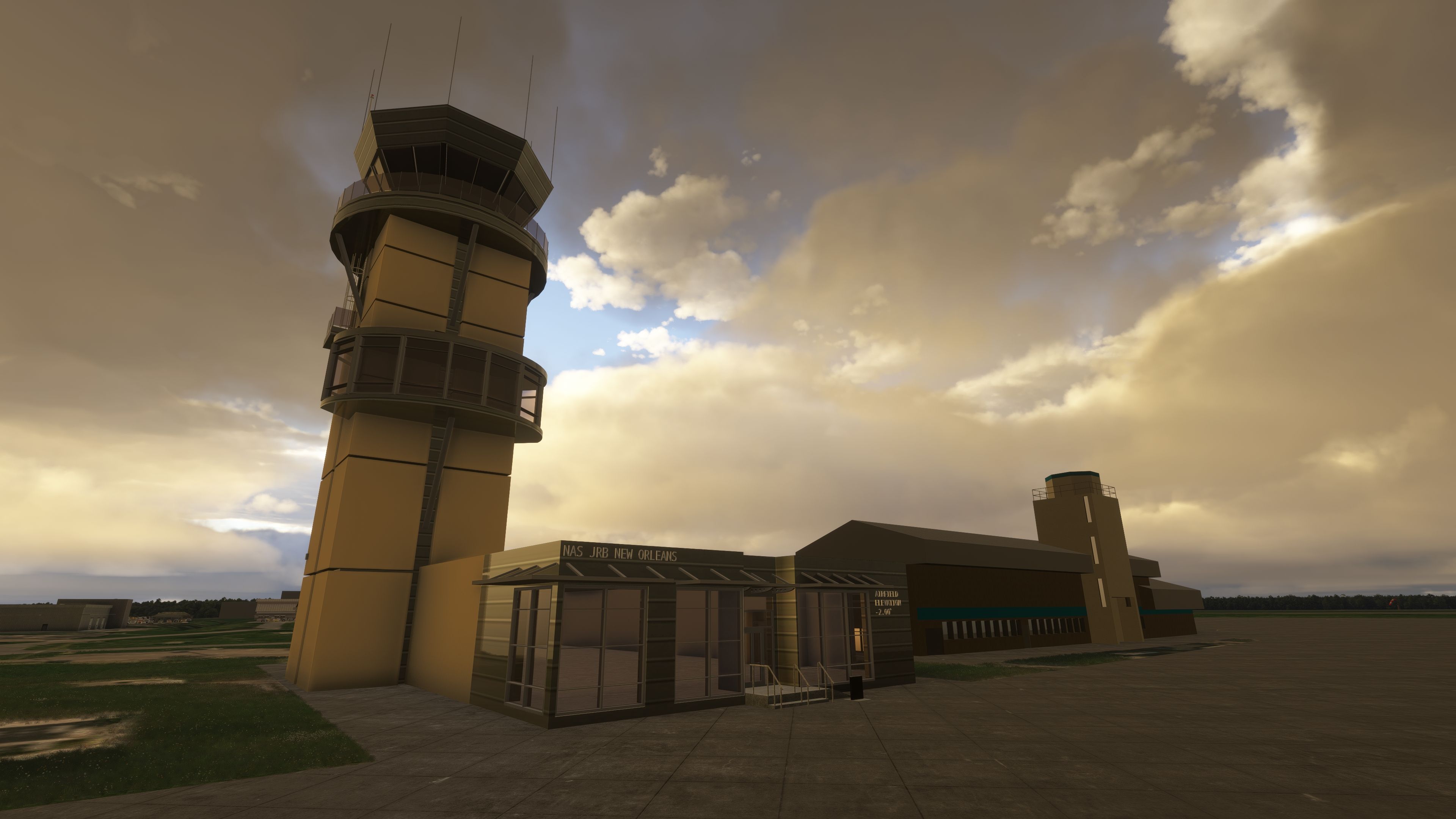
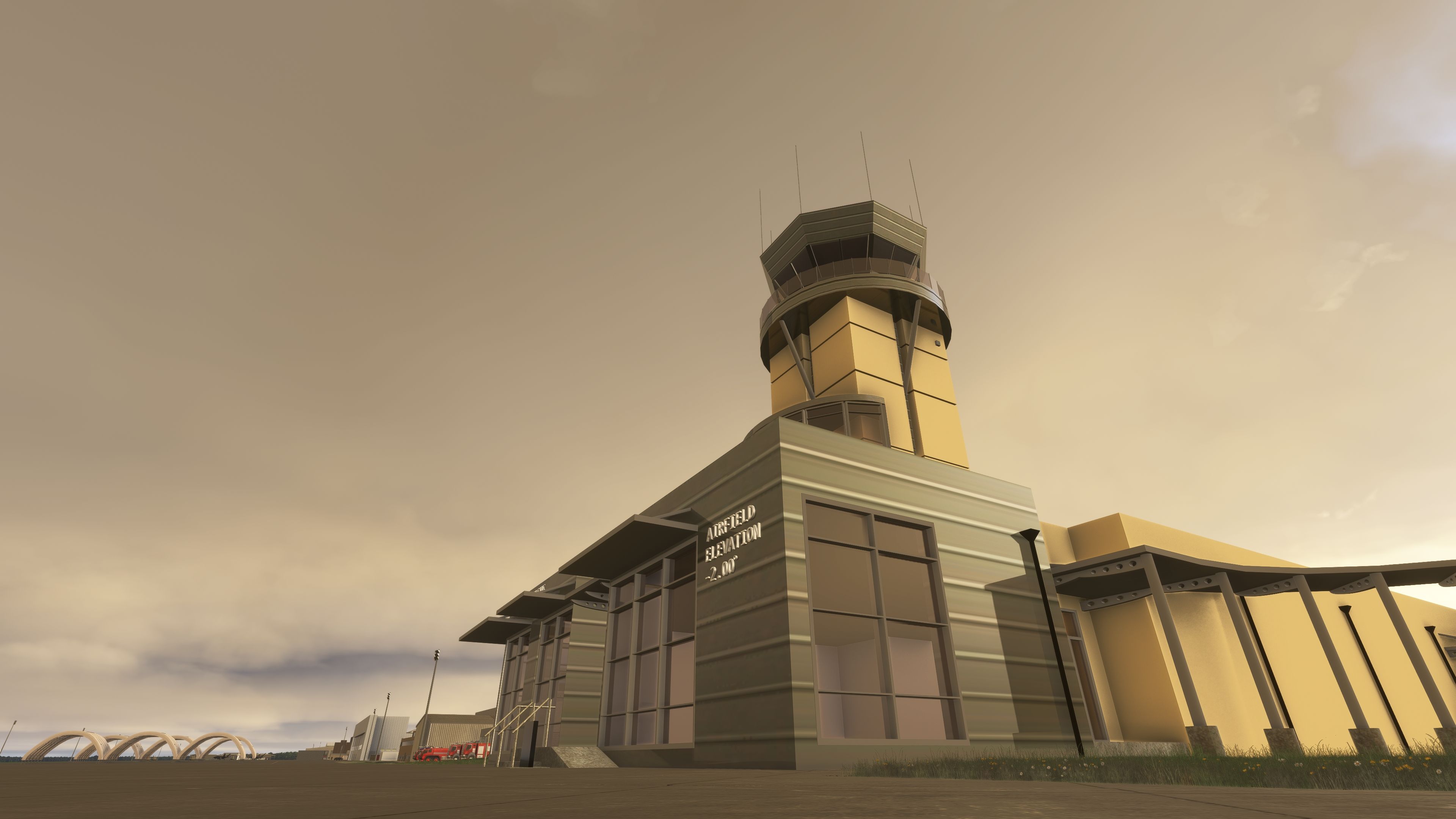
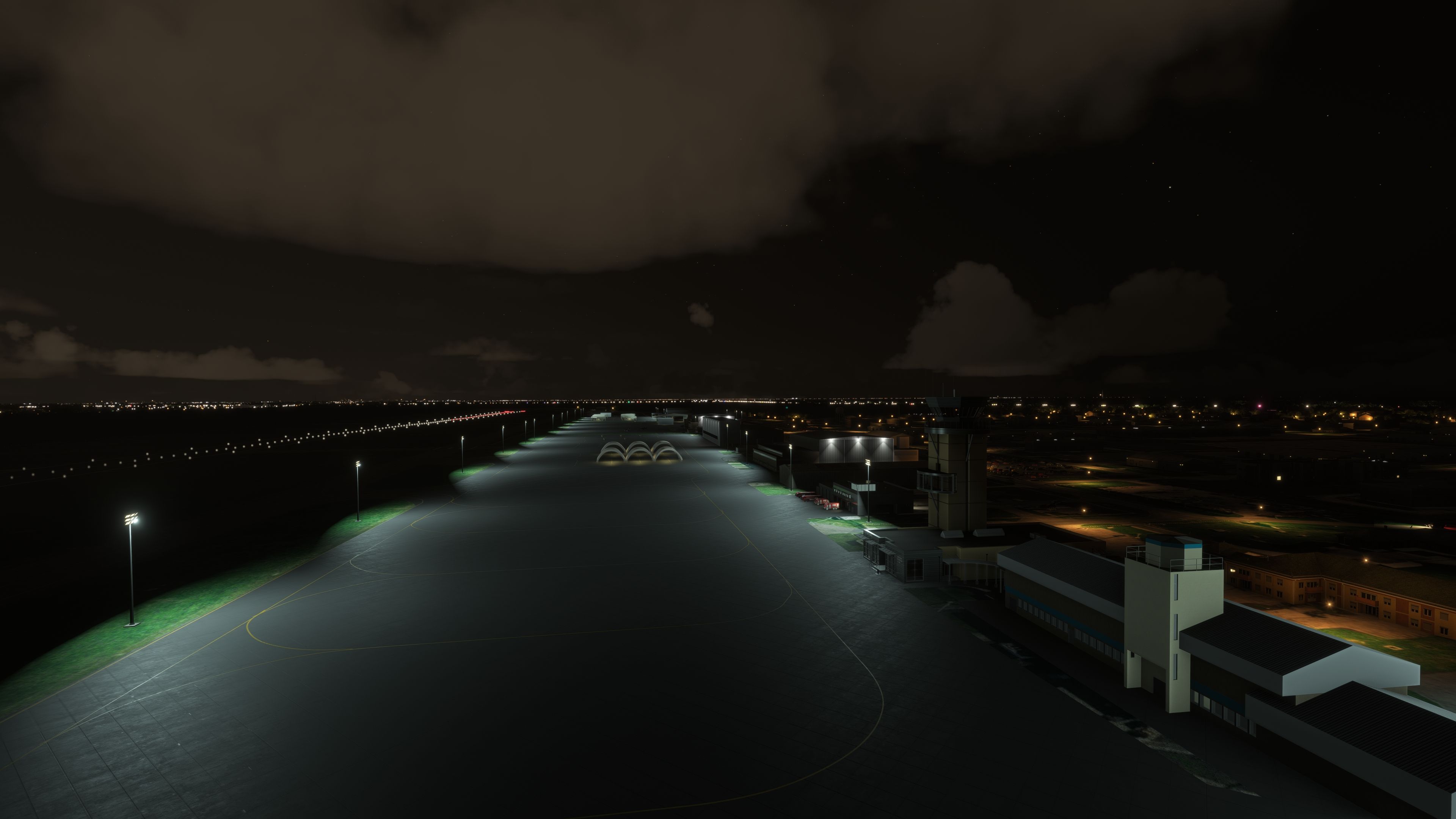
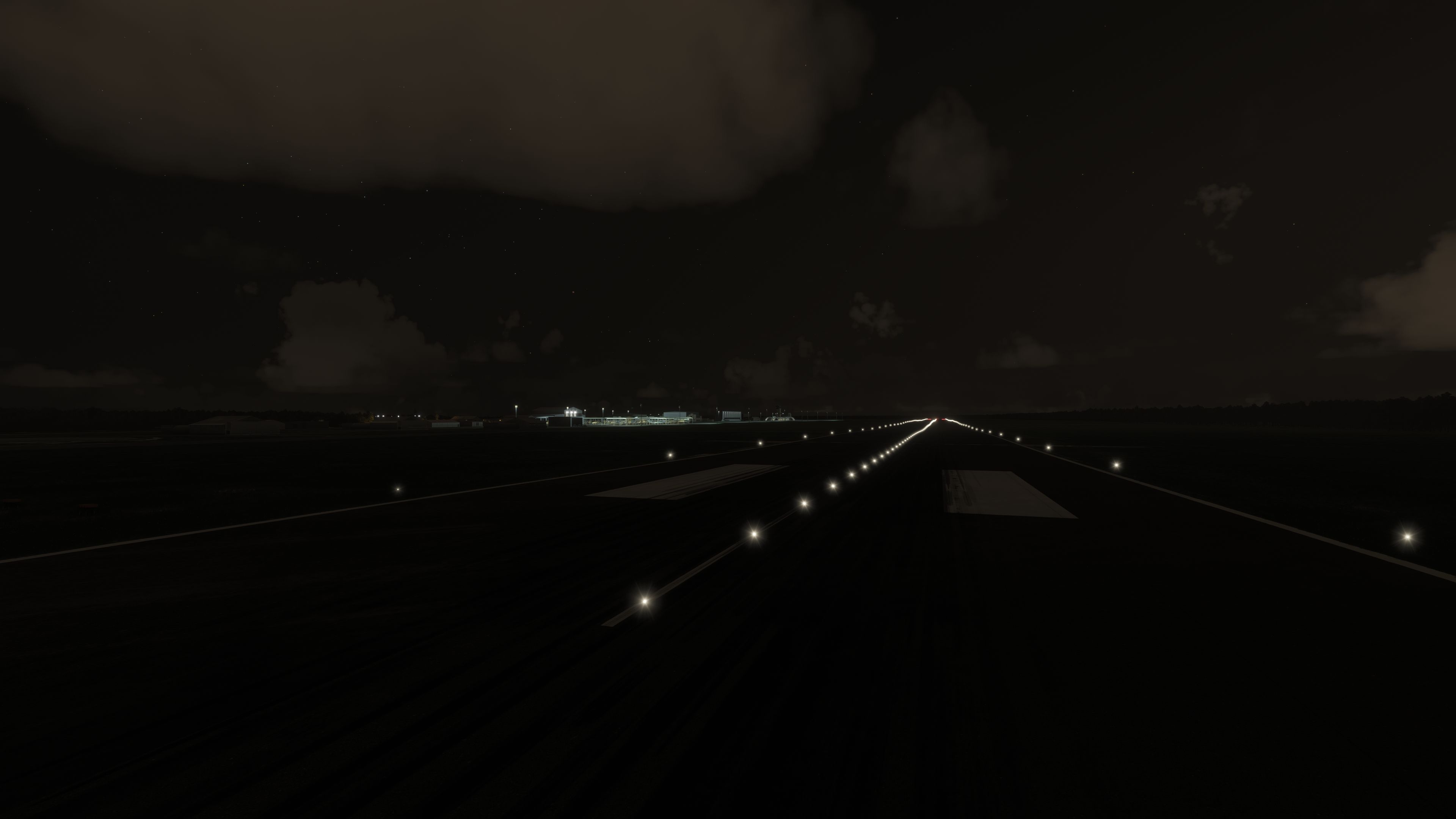
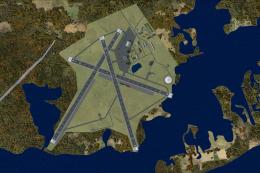
 Within this add-on, you will find the airfield, also known as Alvin Callender Field (IATA: NBG, ICAO: KNBG, FAA LID: NBG), modeled with refined ground textures and detailed structures. This station originally relocated from a site now occupied by the University of New Orleans back in the late 1950s. Thanks to this custom scenery, major points of interest, such as the Navy Reserve aggressor squadron hangars and the logistics support wings, receive significant visual upgrades.
Refined Base Features
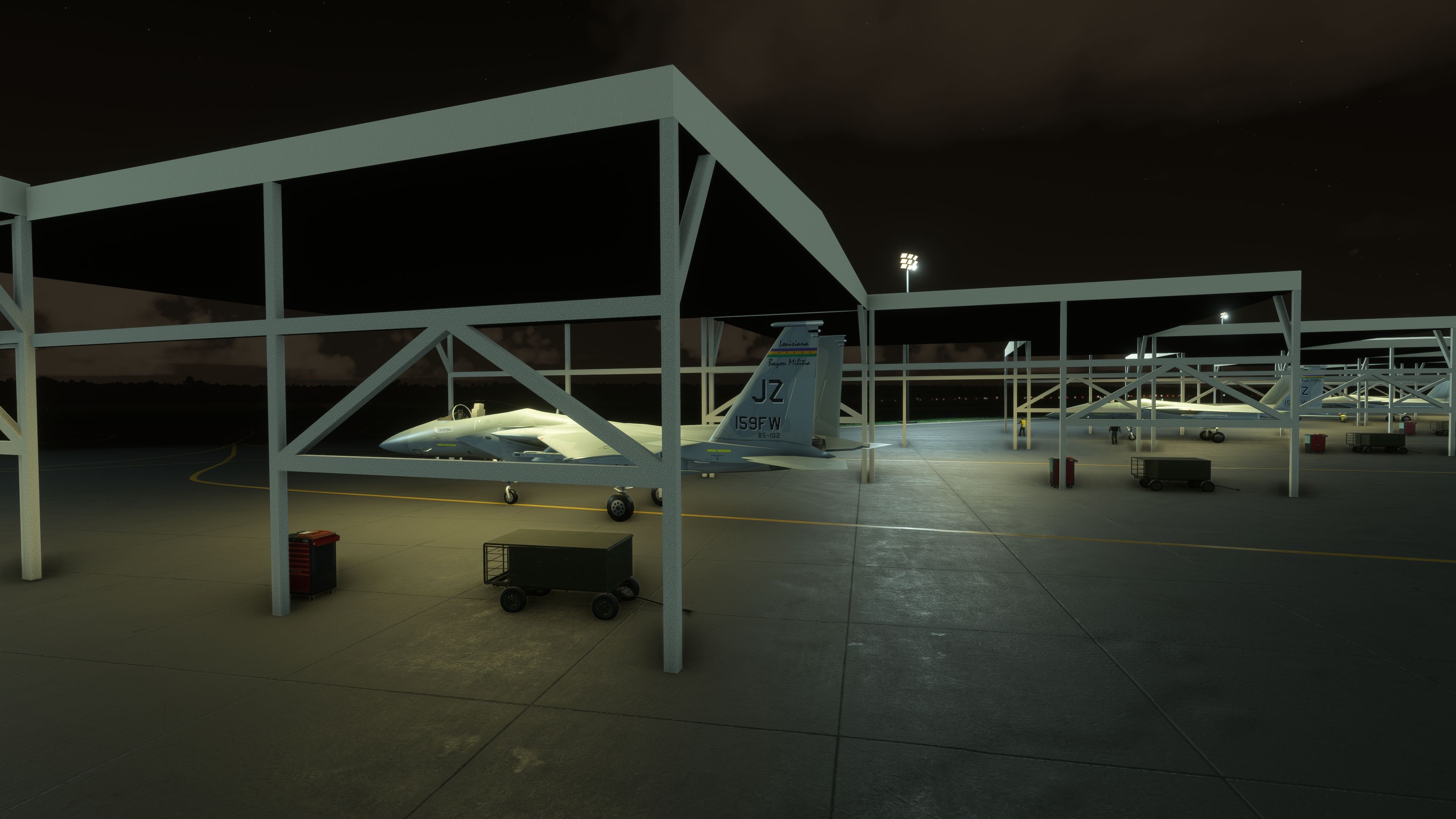
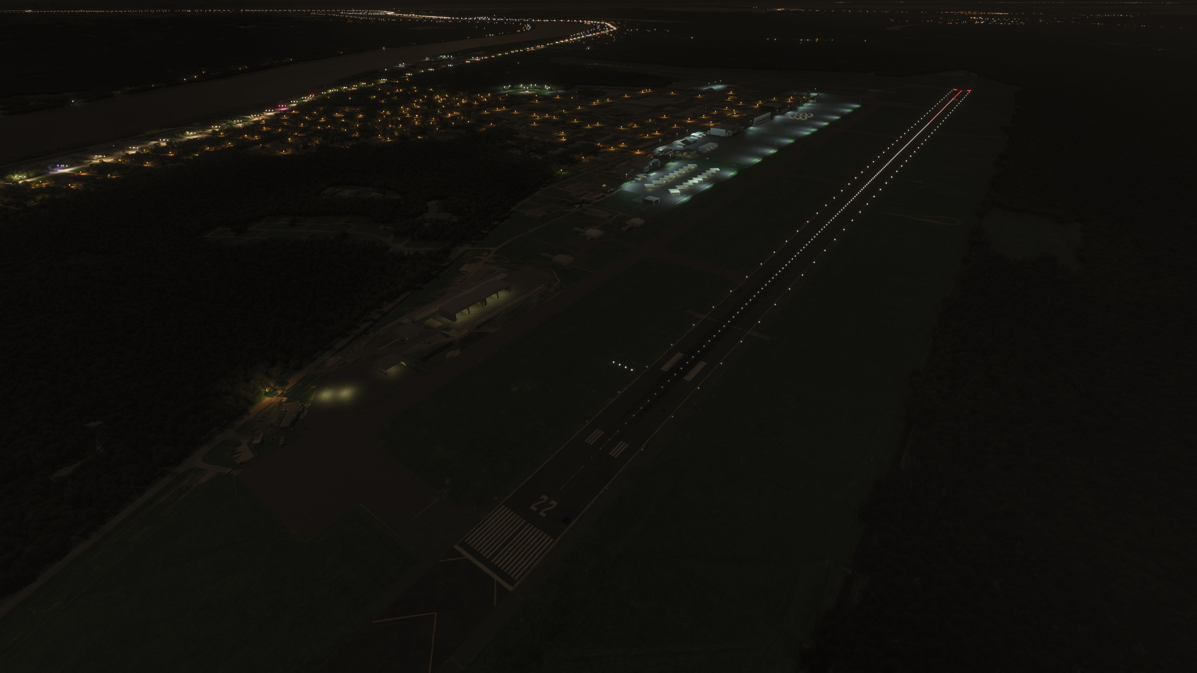
- 24/7 Operations: Mirrors real-world scheduling for Air National Guard alert readiness and Coast Guard emergency response.
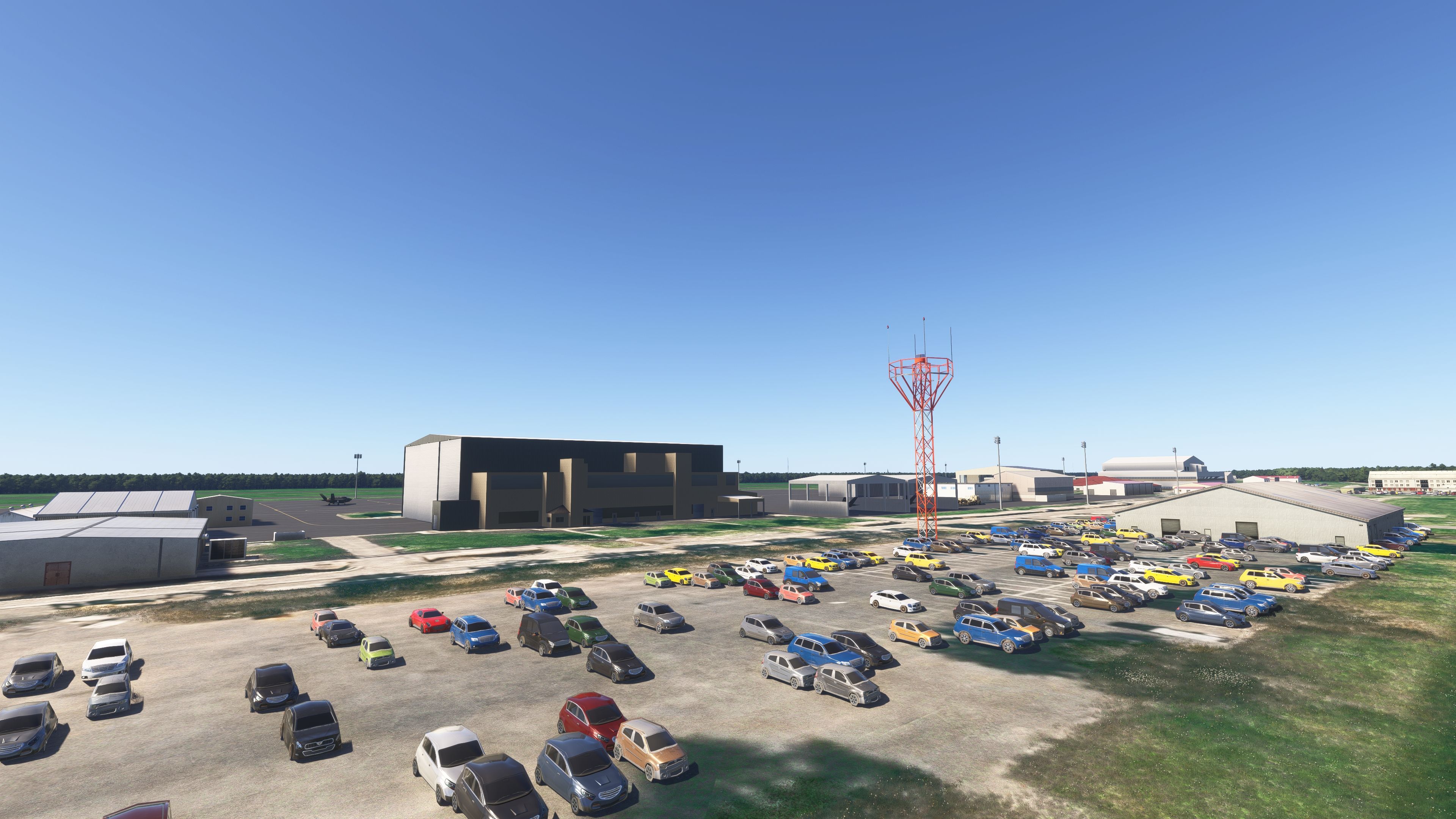
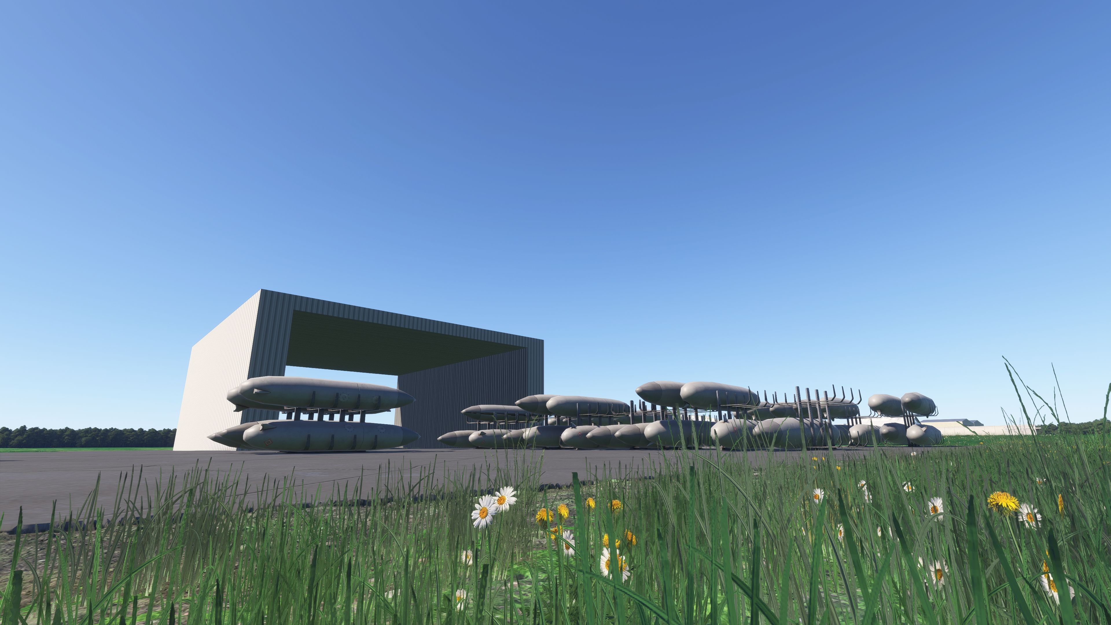
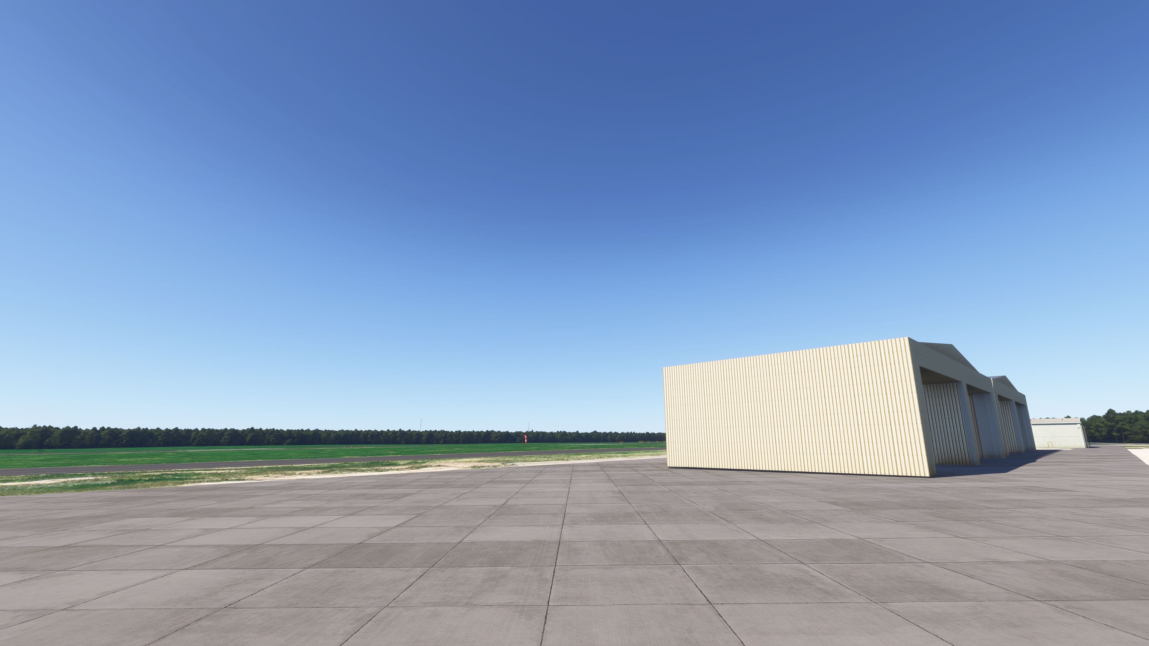
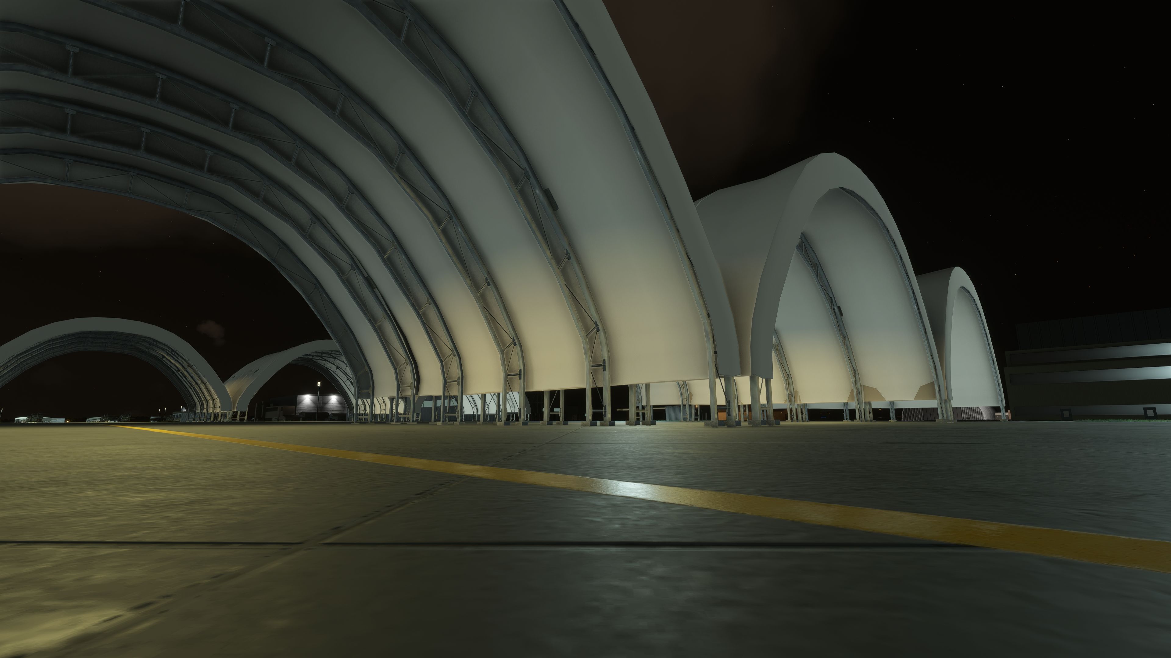
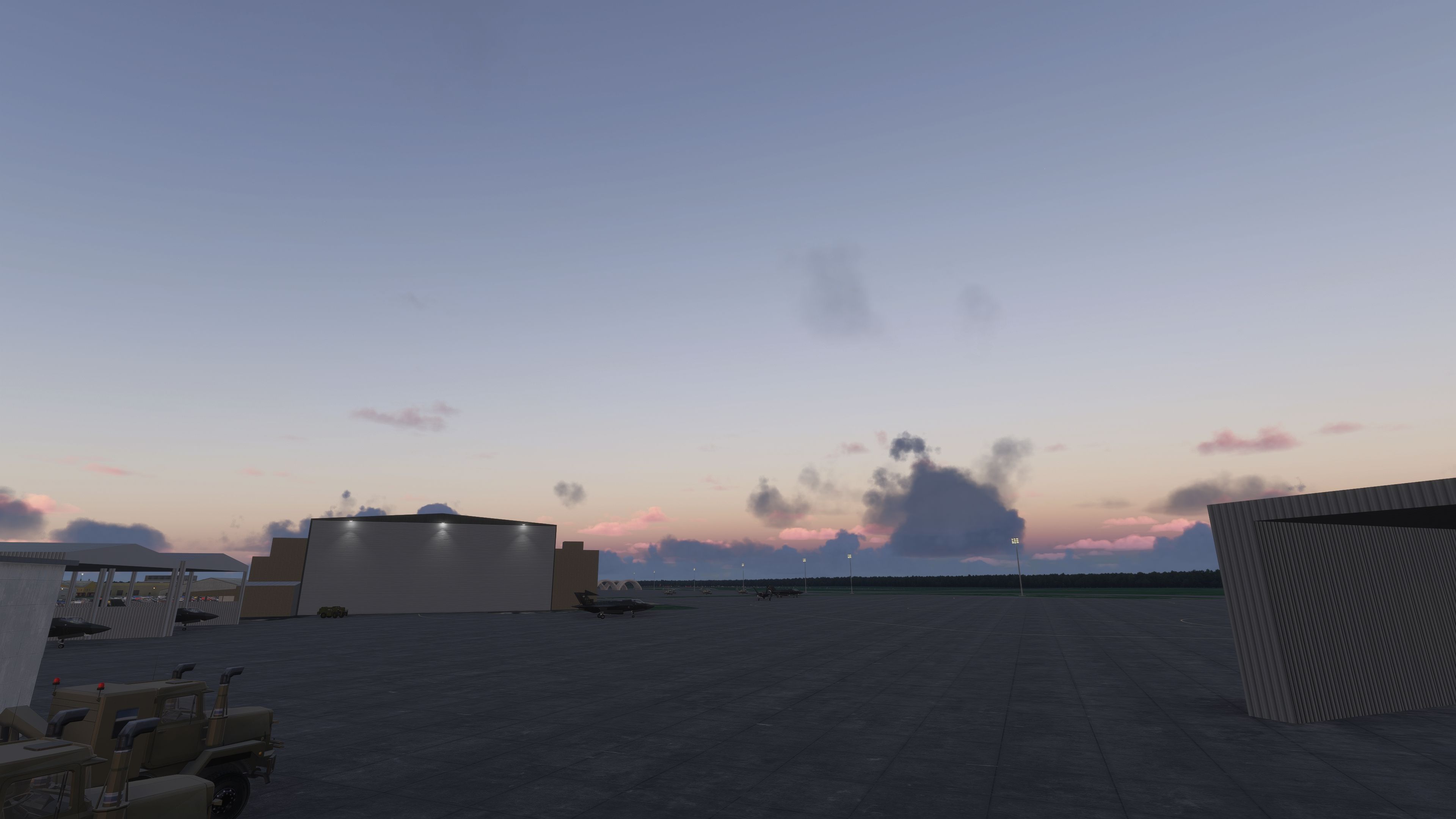
- Updated Hangars and Maintenance Areas: Showcases unique building designs that complement the functional nature of this active military hub.
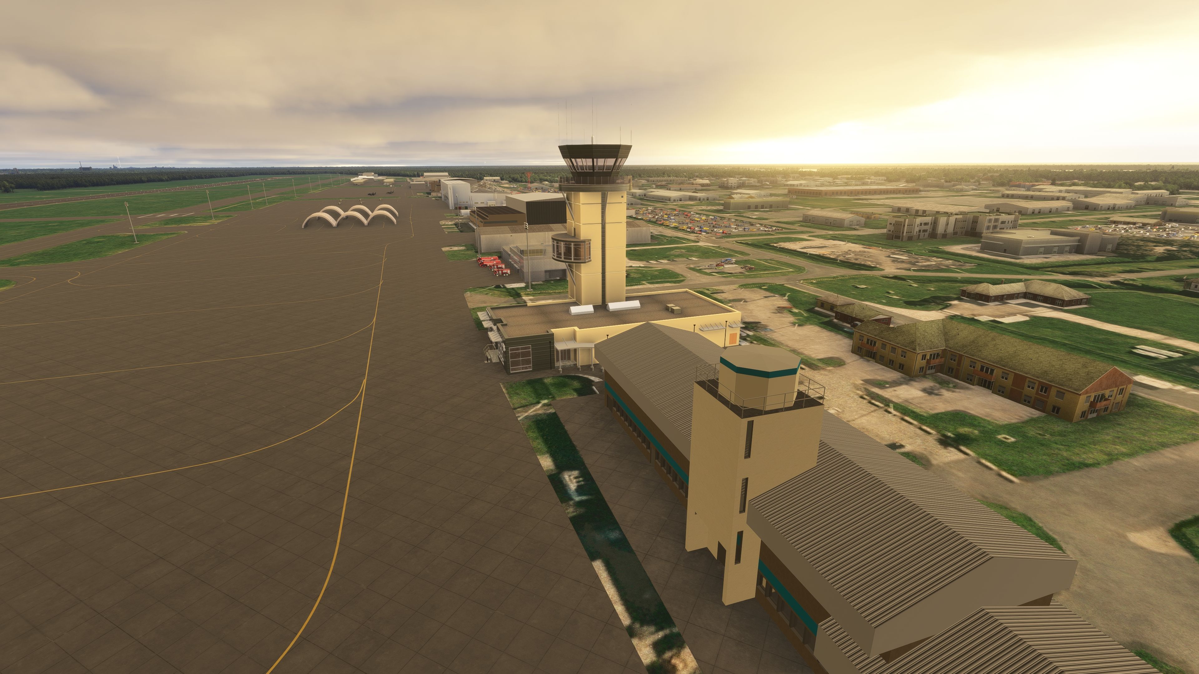
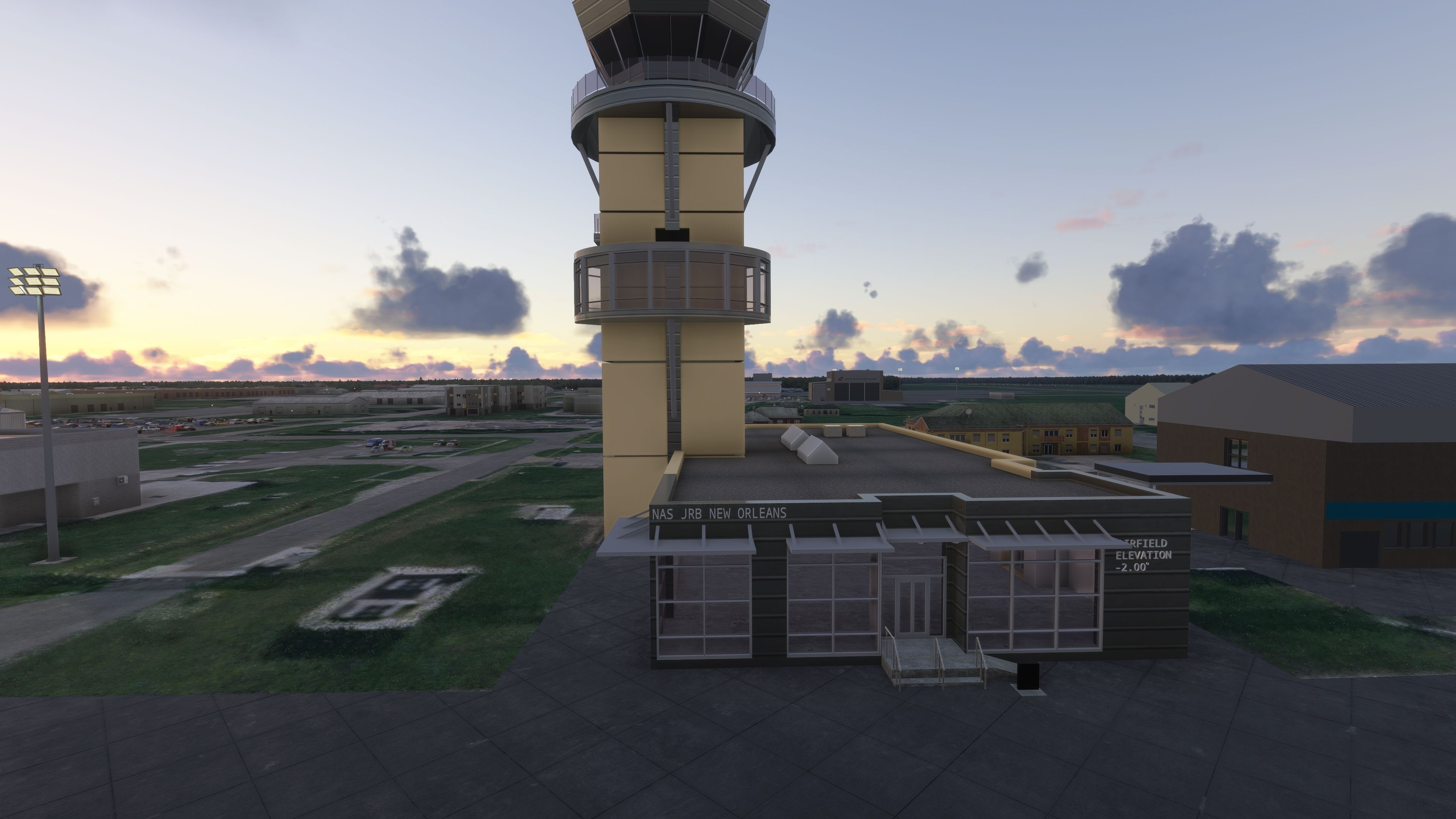
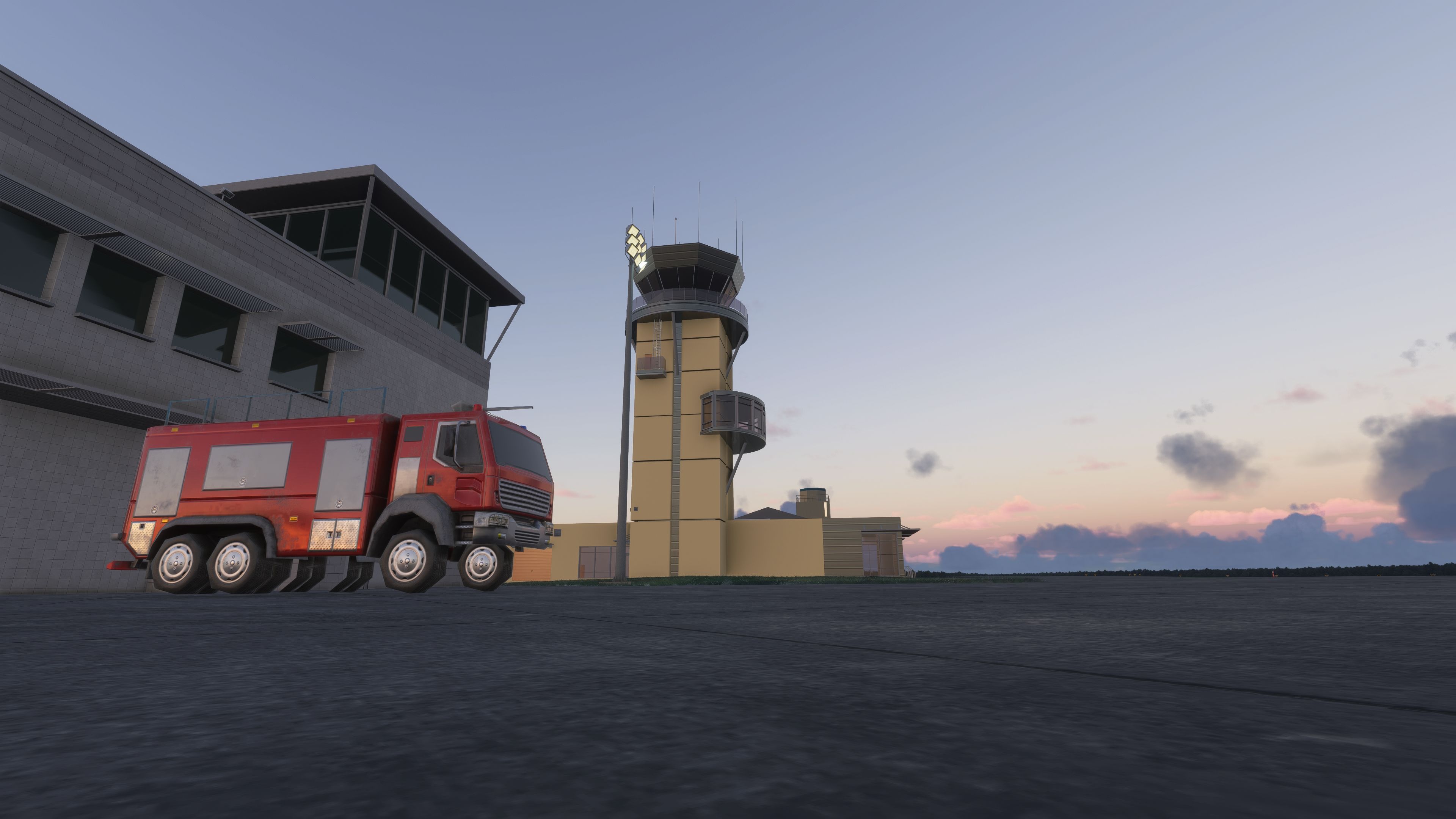
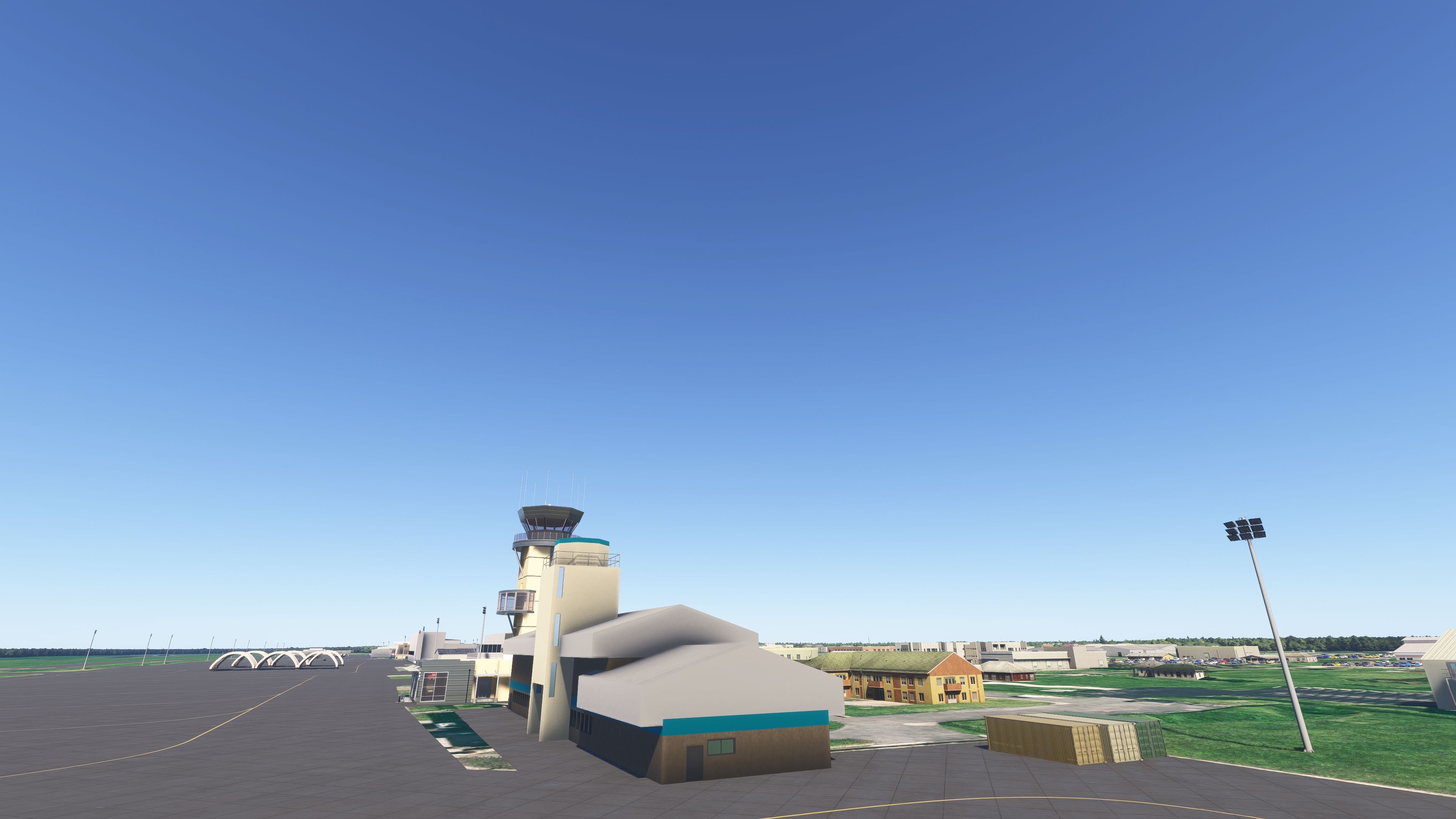
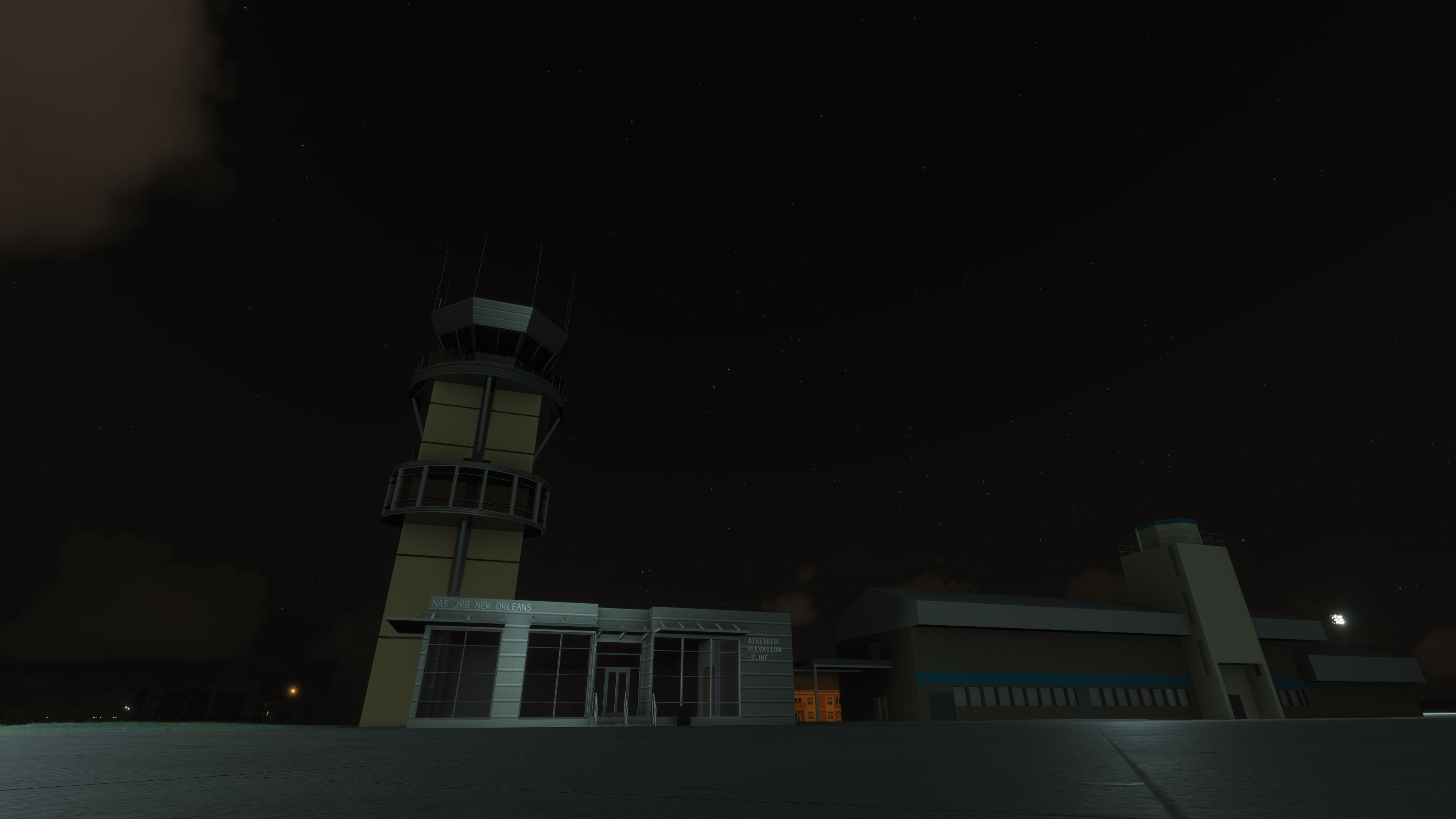
- Key Structures Modeled: The distinctive ATC tower, courtesy of DeadJen, is showcased with careful attention to detail.
Scenery Updates and Future Edits
This project was originally created for the vTAC group’s Sentry Voodoo exercise. After three years, it received a significant refresh that added multiple custom buildings and improved layout accuracy. While it is already at a working standard, more refinements are planned, ensuring continuous evolution of the facility’s representation.
Compatibility Notes
An additional fix allows this scenery to function seamlessly in 2024 versions of the simulator, requiring placement of both folders in the 2024 Community directory. The fix is not necessary for 2020 installations. This ensures flight simulation enthusiasts can experience Naval Air Station Joint Reserve Base New Orleans with minimal setup concerns.
Developed by nickb007 and granted permission to list on Fly Away Simulation.
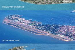
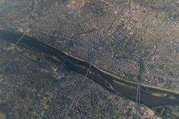
Images & Screenshots


Finding the Scenery
- MSFS Format:
-
29.82530000,-90.03500000
You can copy and paste these coordinates into Microsoft Flight Simulator's search bar when starting a flight or the Developer Mode "Teleport" window to navigate directly to the center of this scenery area, airport, or landmark after you have installed this addon. - Decimal Degrees (DD):
-
Latitude: 29.825300°
Longitude: -90.035000° - Degrees, Minutes, Seconds (DMS):
-
Latitude: 29° 49' 31.080" N
Longitude: 90° 02' 06.000" W
Map Location
Installation Instructions
Most of the freeware add-on aircraft and scenery packages in our file library come with easy installation instructions which you can read above in the file description. For further installation help, please see our Flight School for our full range of tutorials or view the README file contained within the download. If in doubt, you may also ask a question or view existing answers in our dedicated Q&A forum.


0 comments
Leave a Response