
FSX Alaska Navaid Update 2011
Alaska Navaid Update 2011 refreshes Flight Simulator X VOR, NDB, and DME stations across Alaska using FAA data current to January 13, 2011, recalibrating positions and magnetic variation for dependable VOR-based routing on modern IFR en-route charts. The rebuild covers 127 stations and restores accurate airway tracking and fixes off-course drift.

 United States of America
 - File: akfs_anu_2011.zip
- Size:437.31 KB
- Scan:
Clean (24d)

- Access:Freeware
- Content:Everyone
The default Flight Simulator database of VOR/NDB's is fast becoming out of date, making VOR navigation using current IFR en-route charts impractical to impossible. When flying along charted airways, this discrepancy can cause you to become far off course. This update solves that problem by re-calibrating all navigation aids in Alaska (AK) based on information submitted to the FAA January 13, 2011. This allows you to accurately navigate using any navaid in Alaska while using current IFR en-route charts. This update includes magnetic variation data, and navaid position. All data was compiled from the ground up. By Wilson Malone-AKFS Design.
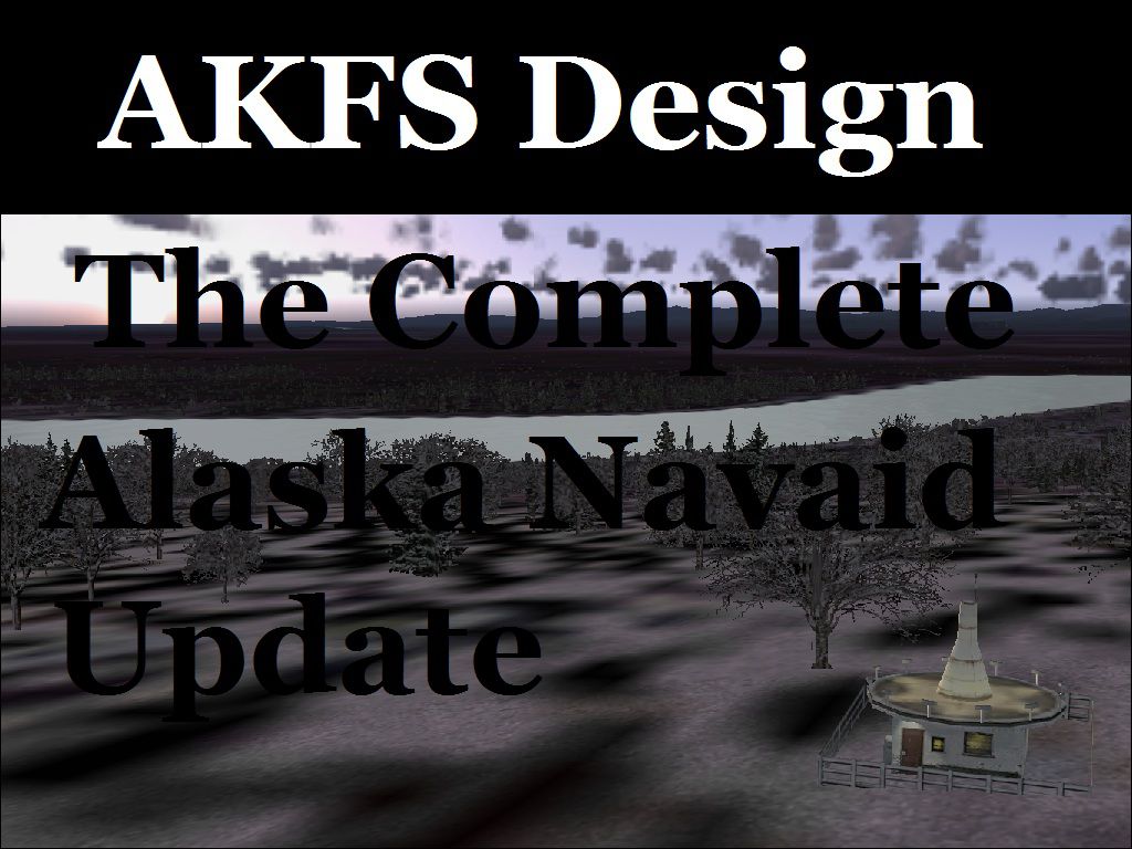
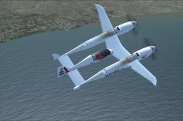
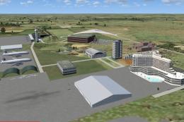
Poster for Alaska Navaid Update.
VOR's = 43
NDB's = 61
NDB/DME's = 23
Total Stations = 127
This may or may not work for some pay-ware add-ons; that all depends on if they use their own database for the VOR indicator, or the default FS database.
Installation:
In the contained ZIP file there are two folders labeled FS9 (which means FS2004) and FSX. Open the folder for your version of simulator, and copy the BGL file to the “Addon Scenery\scenery” directory.
This scenery package is released as Freeware.
By Wilson Malone
Images & Screenshots

Finding the Scenery
- FSX/Prepar3D Coordinates:
-
61.21810000,-149.90030000
Use the downloaded flight plan file by launching FSX/P3D, selecting "Load Flight Plan" in the flight planner, and choosing the .pln file. Your aircraft will be positioned directly at the add-on’s location. - Decimal Degrees (DD):
-
Latitude: 61.218100°
Longitude: -149.900300° - Degrees, Minutes, Seconds (DMS):
-
Latitude: 61° 13' 05.160" N
Longitude: 149° 54' 01.080" W
Map Location
The archive akfs_anu_2011.zip has 8 files and directories contained within it.
File Contents
This list displays the first 500 files in the package. If the package has more, you will need to download it to view them.
| Filename/Directory | File Date | File Size |
|---|---|---|
| 11311fsx.BGL | 01.18.11 | 13.88 kB |
| 11311FS9.BGL | 01.18.11 | 13.86 kB |
| List of Navaids included.pdf | 01.19.11 | 99.98 kB |
| Information.pdf | 03.27.11 | 123.41 kB |
| readme.txt | 03.27.11 | 1.45 kB |
| AKFS_ANU_2011.jpg | 01.26.11 | 212.29 kB |
| flyawaysimulation.txt | 10.29.13 | 959 B |
| Go to Fly Away Simulation.url | 01.22.16 | 52 B |
Installation Instructions
Most of the freeware add-on aircraft and scenery packages in our file library come with easy installation instructions which you can read above in the file description. For further installation help, please see our Flight School for our full range of tutorials or view the README file contained within the download. If in doubt, you may also ask a question or view existing answers in our dedicated Q&A forum.


0 comments
Leave a Response