MSFS Castillonnès (LF4722) Scenery
Castillonnès LF4722 brings a lovingly detailed private strip in southwestern France to Microsoft Flight Simulator, tuned for microlights and light singles with lifelike surroundings and operational character. Expect accurate placement and elevation, local radio frequency, fuel-on-request details, and authentic circuit guidance plus nearby obstacles that make approaches feel true to the real field.

 France
 - File: LF4722-msfs.zip
- Size:218.6 MB
- Scan:
Clean (6d)

- Access:Freeware
- Content:Everyone

Expert Overview
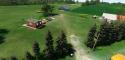
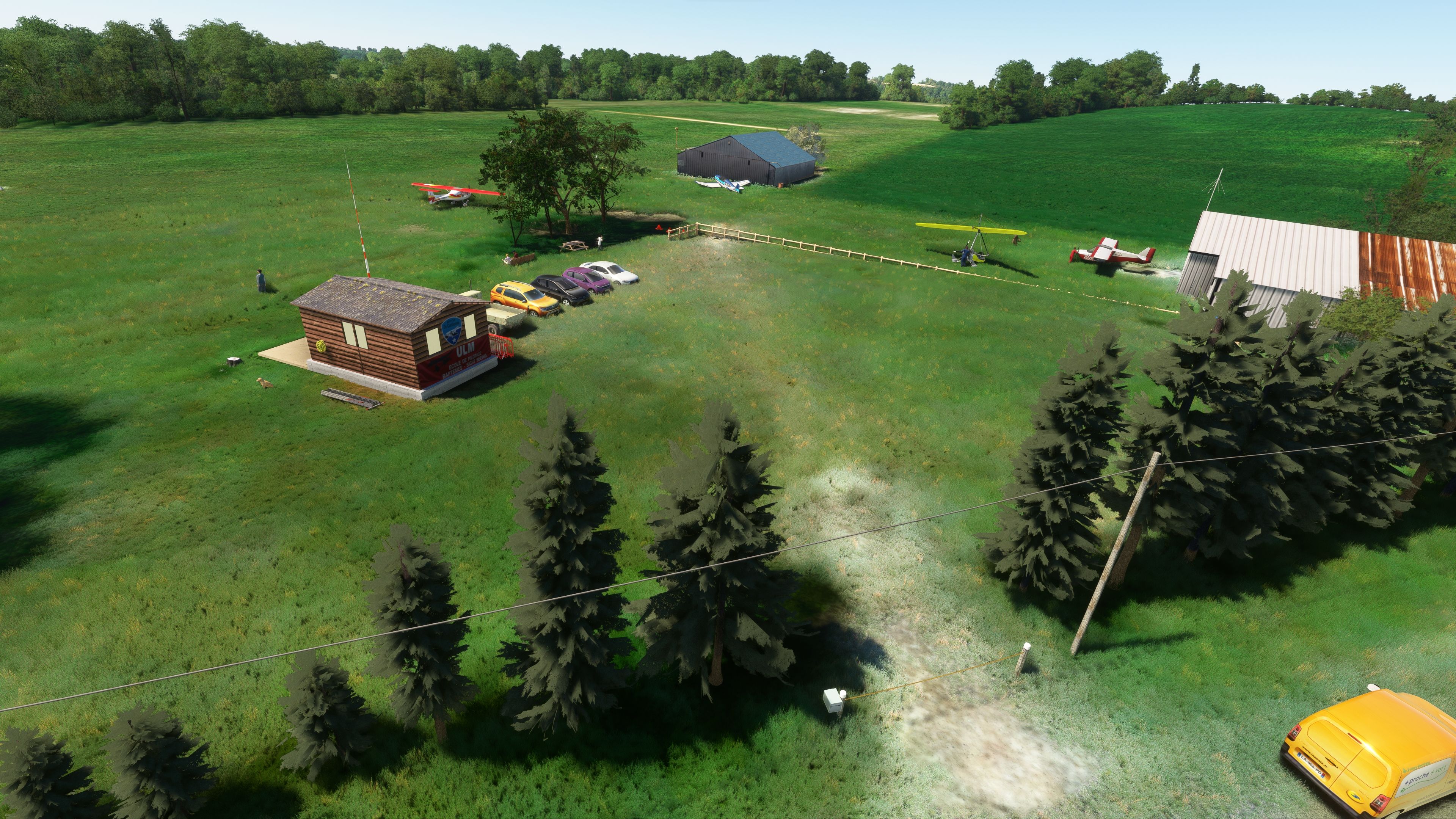
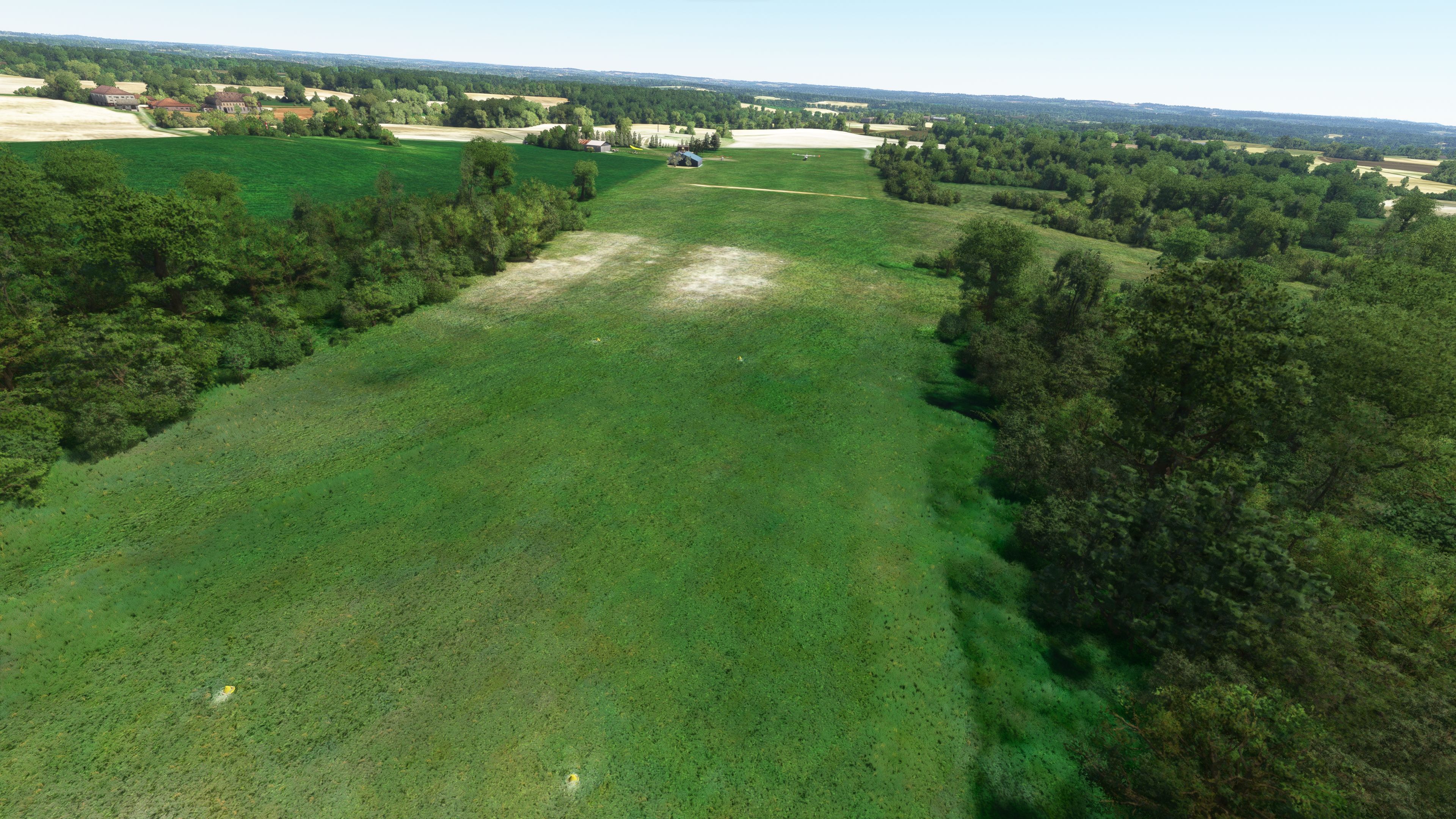
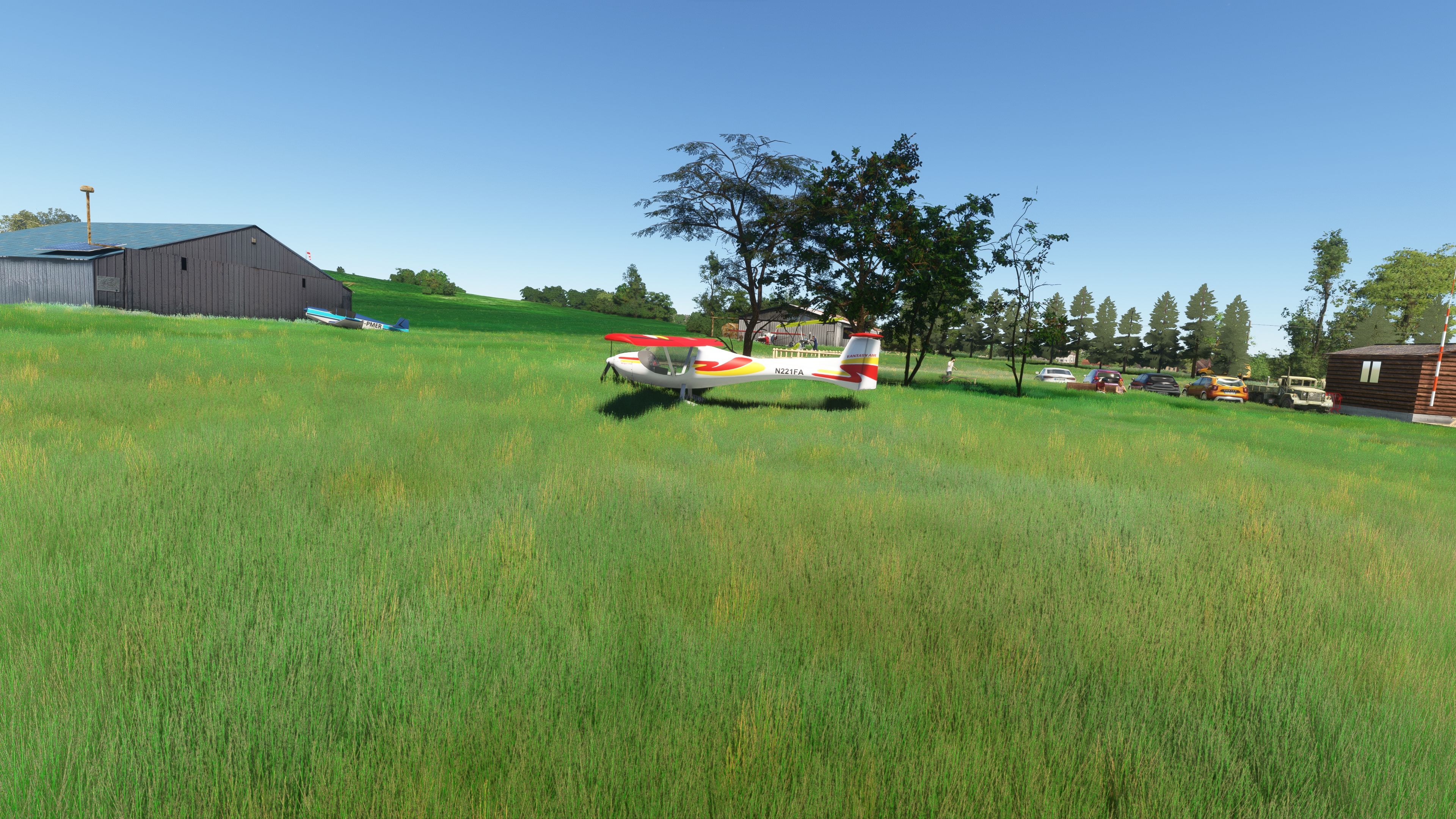
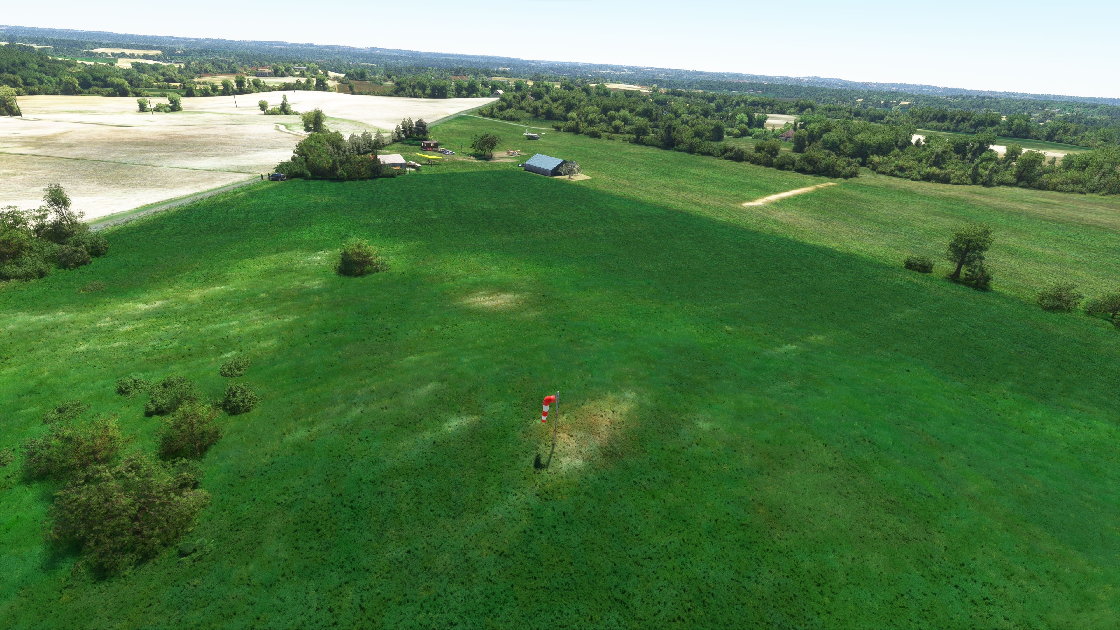
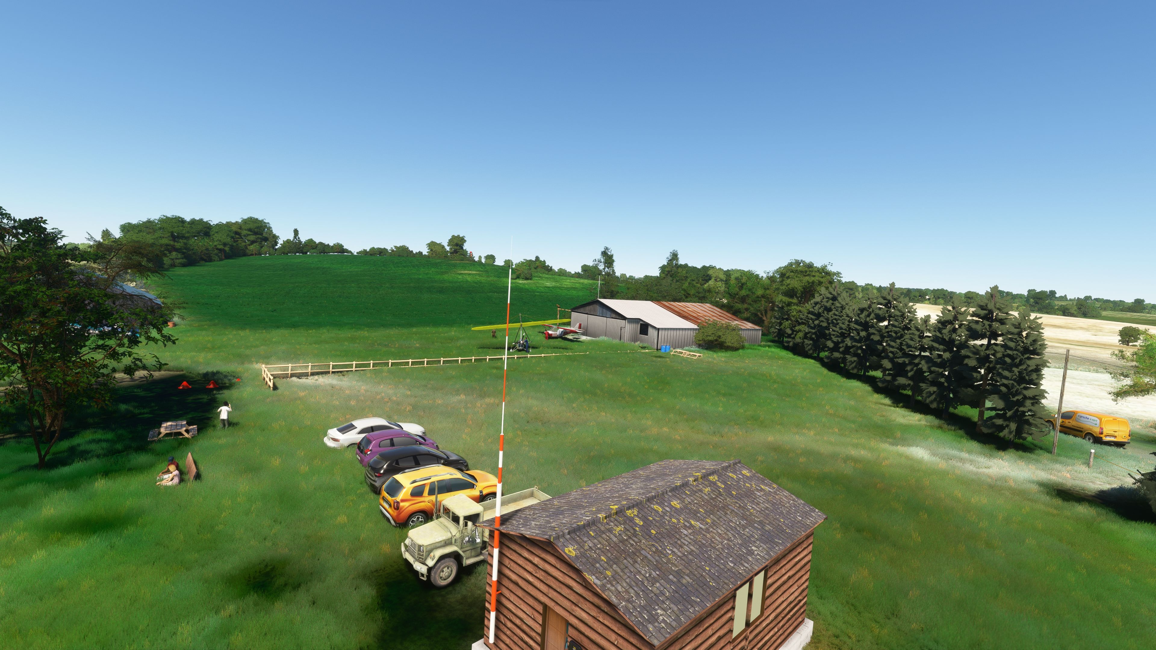
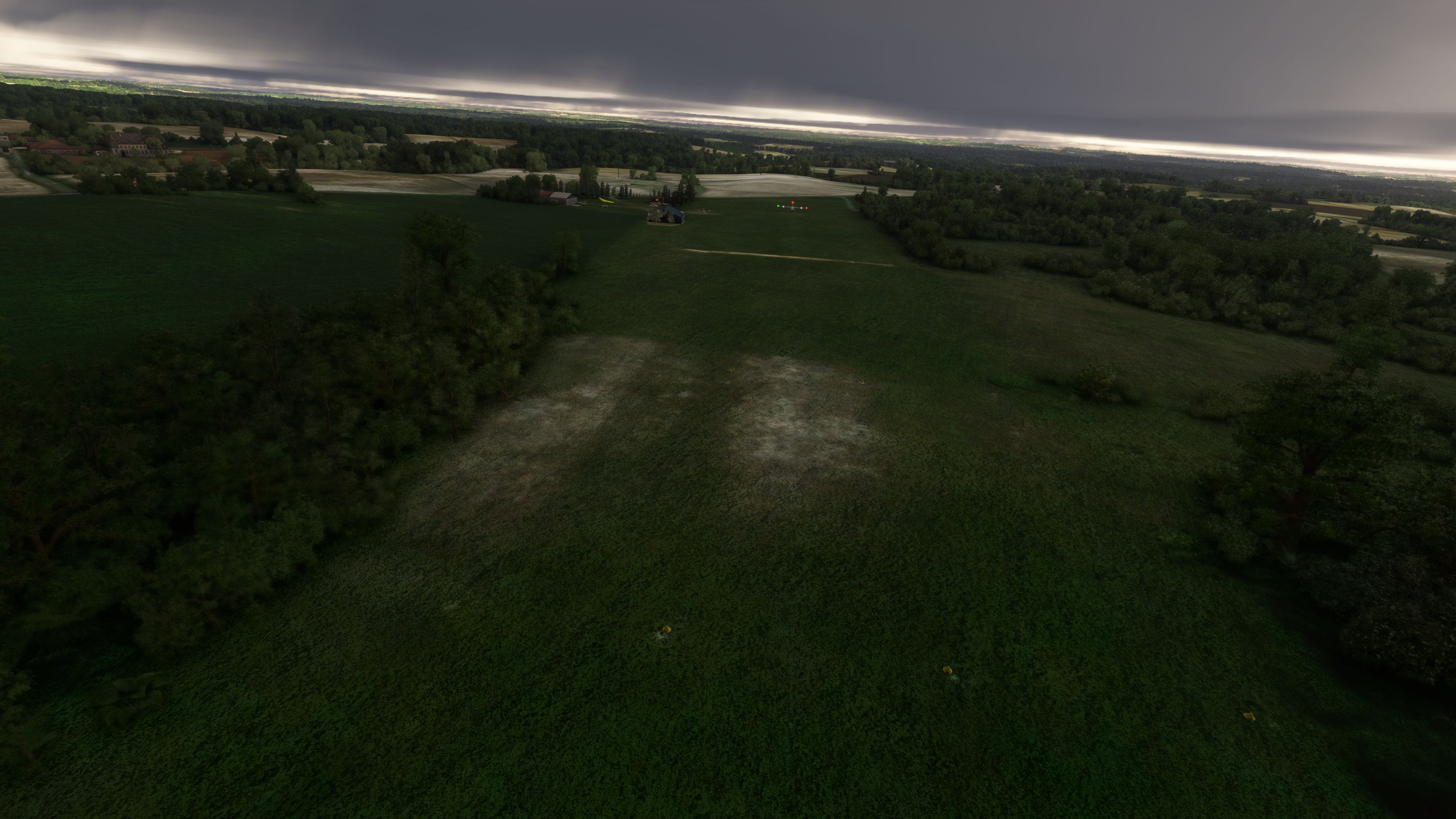
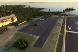
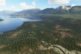
Castillonnès (LF4722) is a free add-on that brings a small yet vibrant private airfield in southwestern France to life within Microsoft Flight Simulator 2020. Having tested it firsthand, I was impressed by the attention to detail: accurate geographical placement at 44°41’55”N and 000°38’20”E, a dedicated 123.500 MHz radio channel for smooth communications, and realistic topographical features mirrored by Google Maps data. The undulating countryside, combined with custom flight protocols for microlights and heavy aircraft, offers an immersive flying environment that highlights the region’s rolling terrain and its real-world challenges.
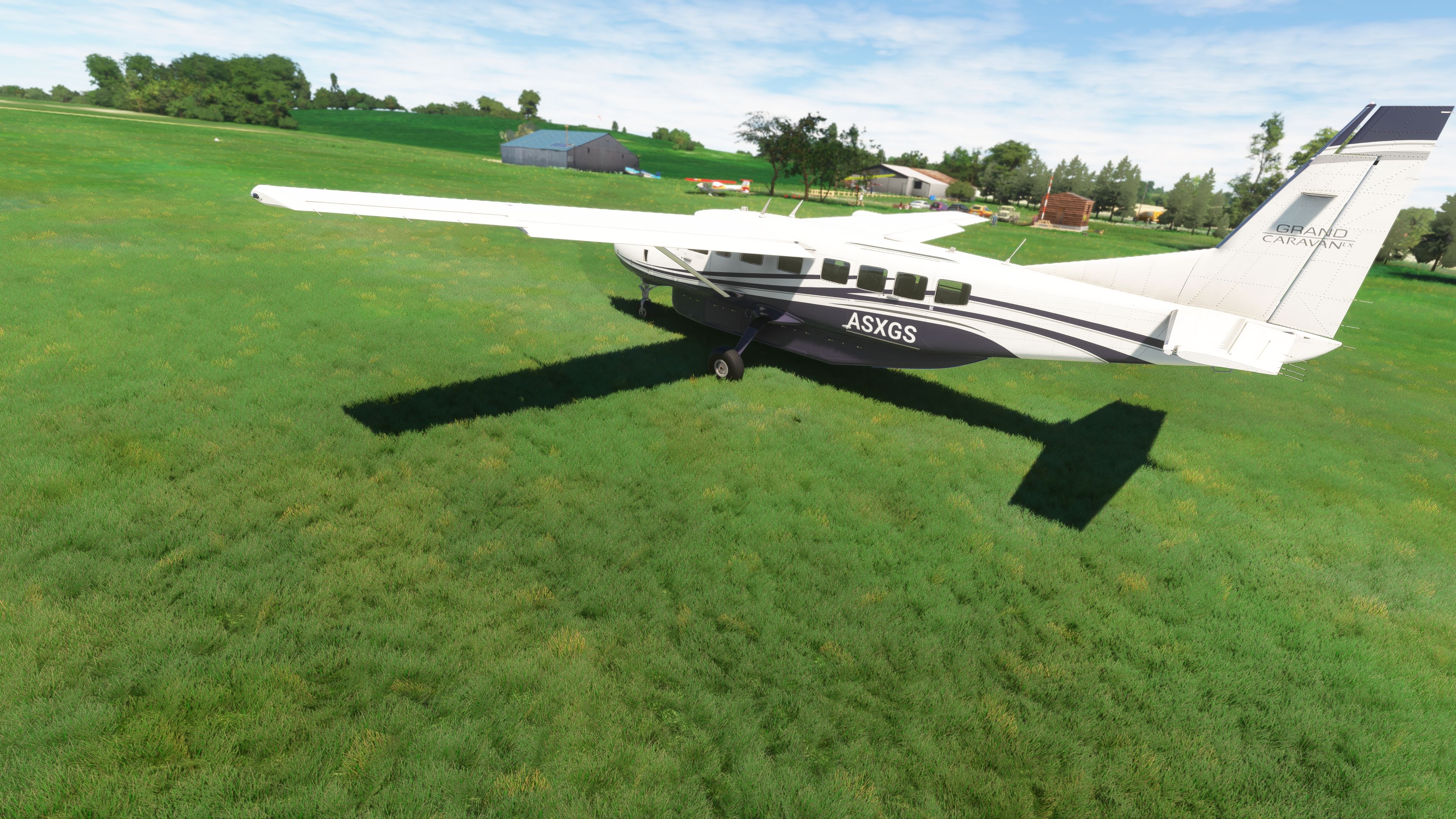
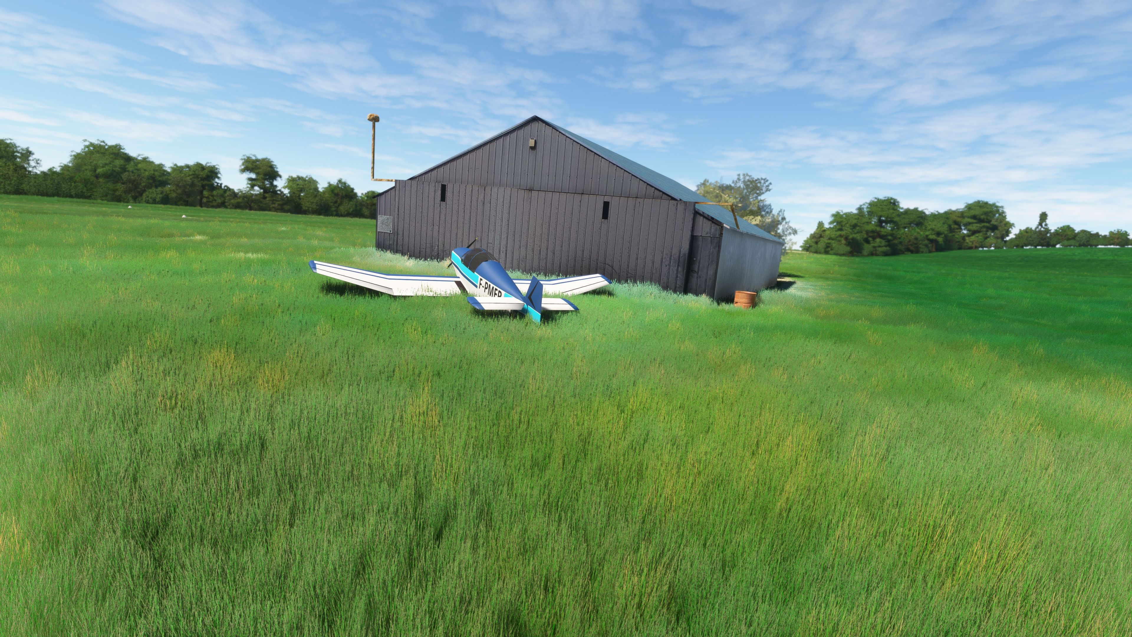
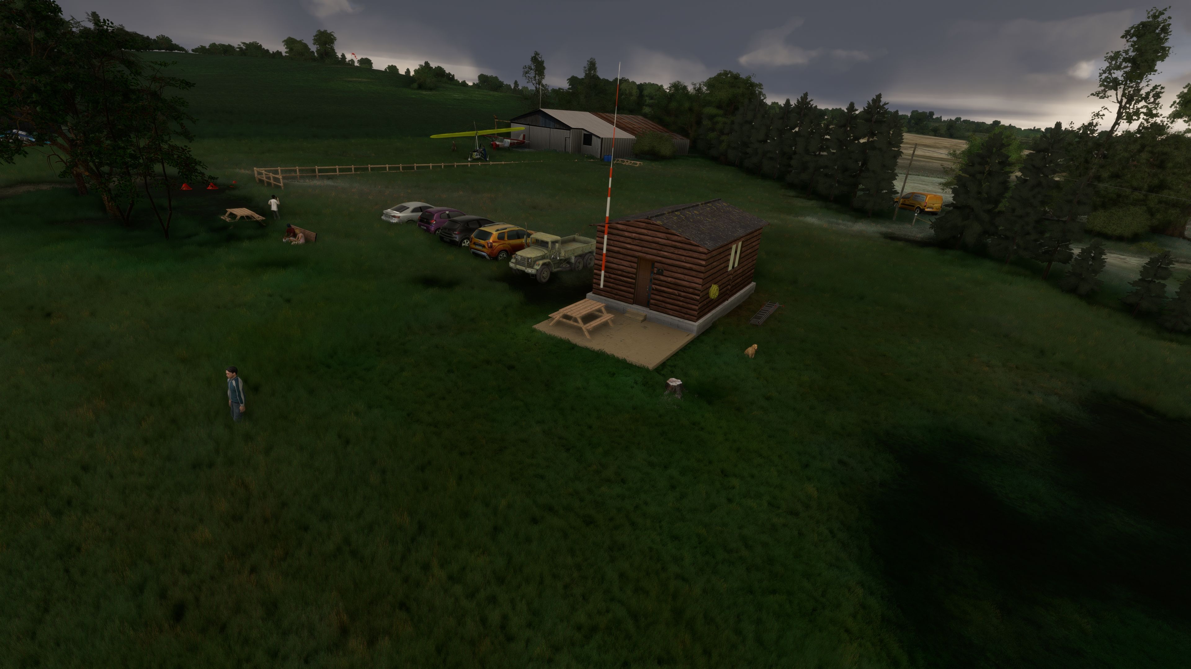
Its standout features include a no-fly zone during woodpigeon hunting season, a cautious approach over a road at threshold 33, and a power line mere 250 meters from the runway, all reflecting the authenticity of local regulations. In practice, you’ll need to watch out for the 8 PM curfew on circling flights, plus the unusable runway in wet weather, adding extra layers of realism. Fuel on request caters to longer trips, ensuring flexibility for virtual pilots venturing across the serene Aquitaine landscape. In my opinion, this mod is a delightful must-have for anyone seeking an engaging, community-driven scenery that combines nuanced flight operation details with the beauty of rural France.
This mod was installed, tested and reviewed by Adam McEnroe for Fly Away Simulation. Adam is an FS mod expert. Read his bio here.
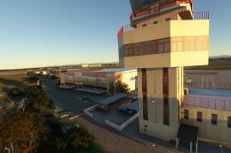
Introducing the MSFS Castillonnès (LF4722) scenery, a meticulously crafted representation of a quaint private airfield located in the serene landscapes of southwestern France. This freeware add-on for Microsoft Flight Simulator 2020 offers an immersive experience for enthusiasts of microlights and single-engine aircraft.
 Scenery Overview
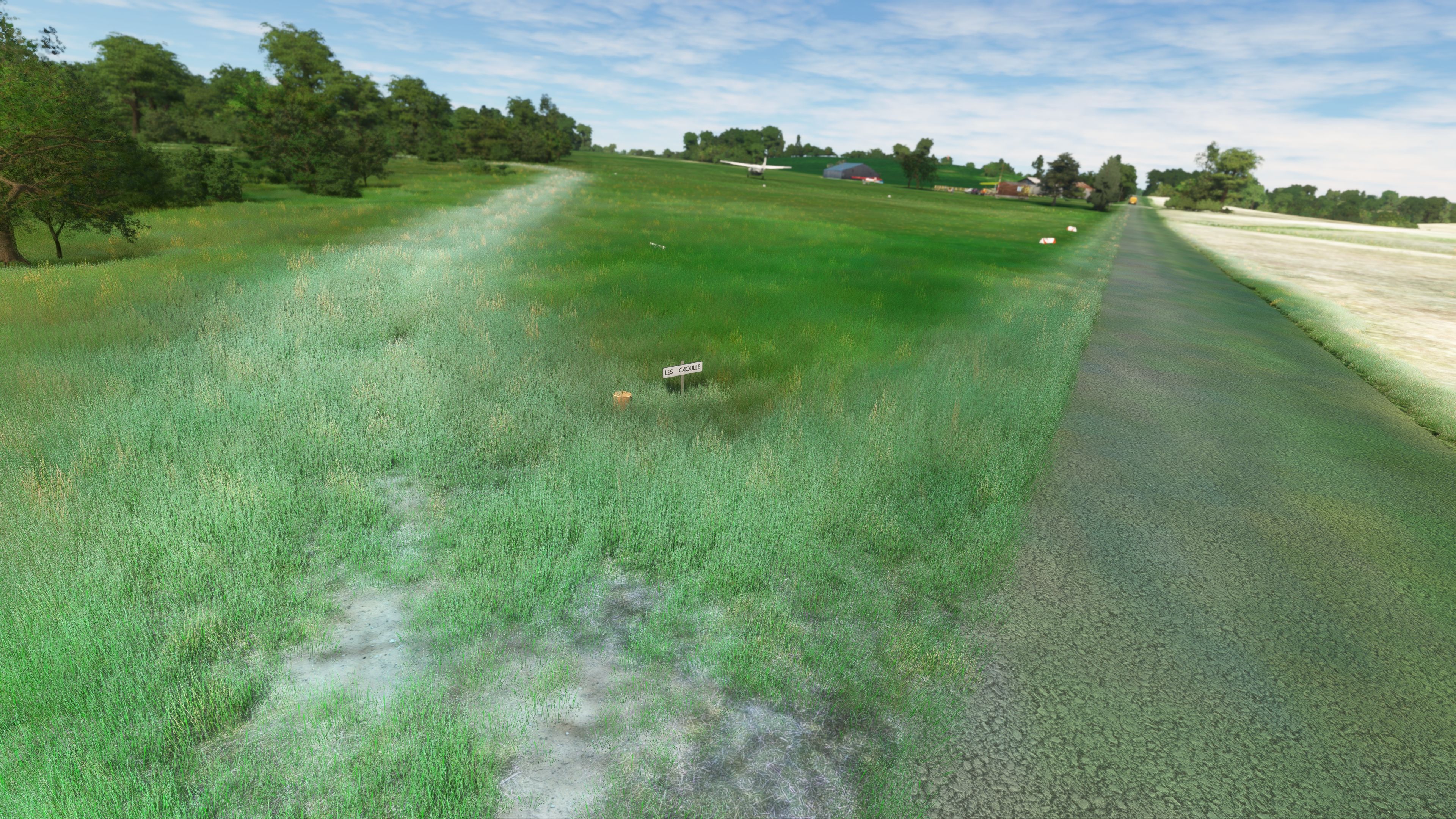
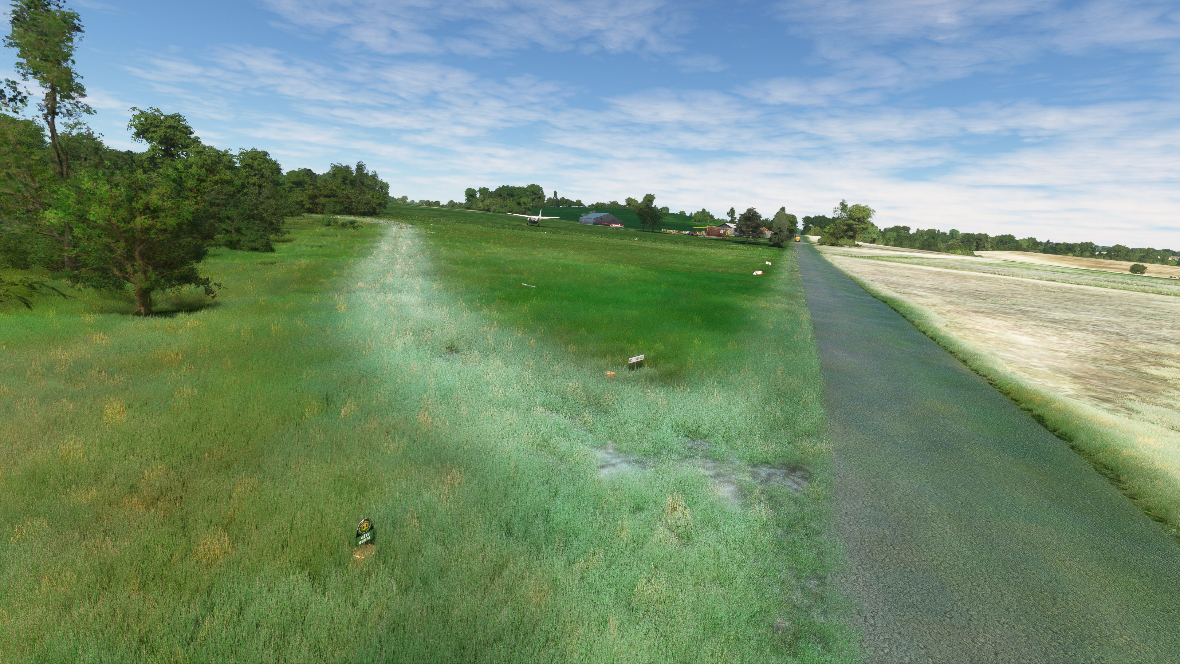
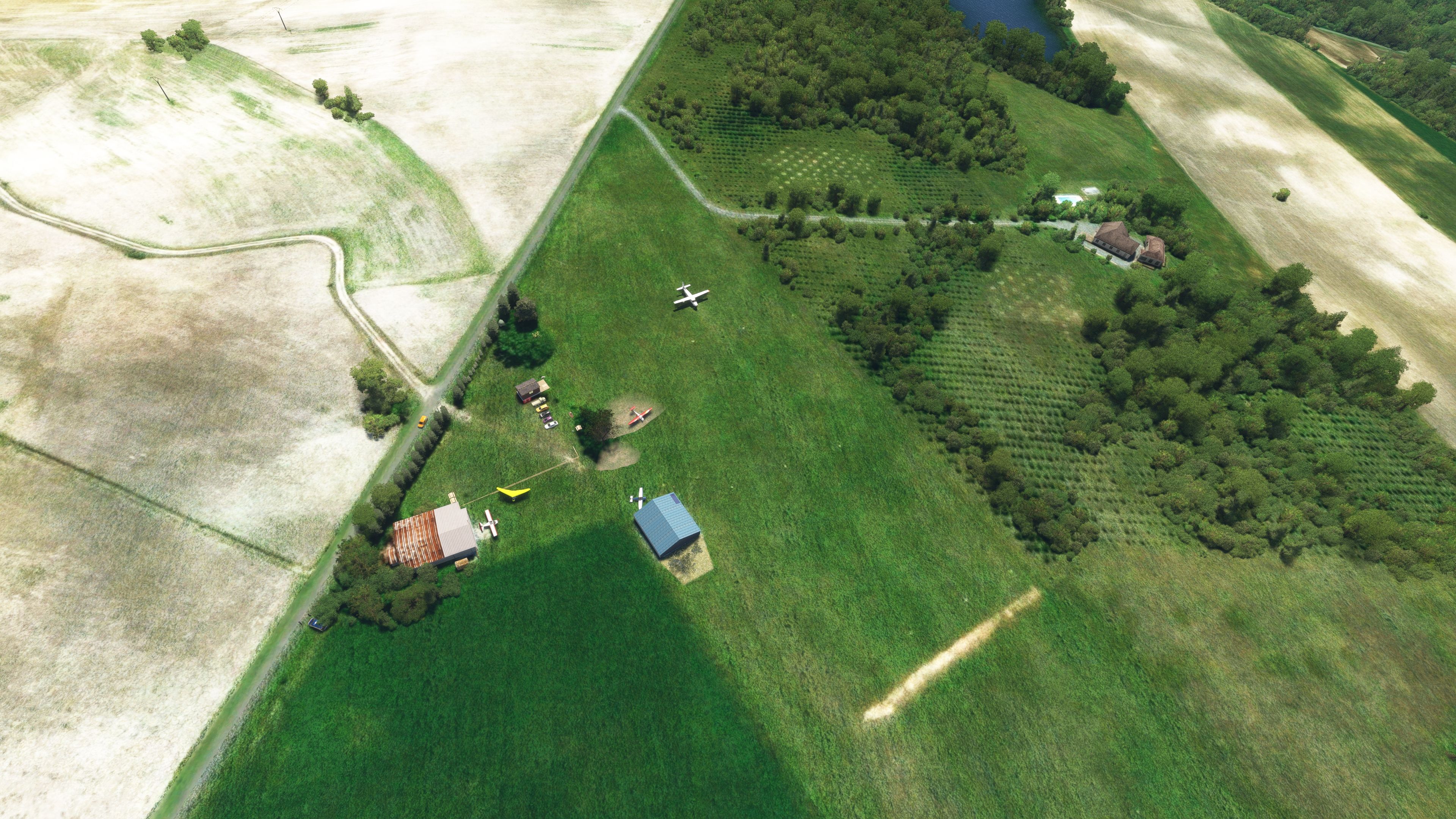
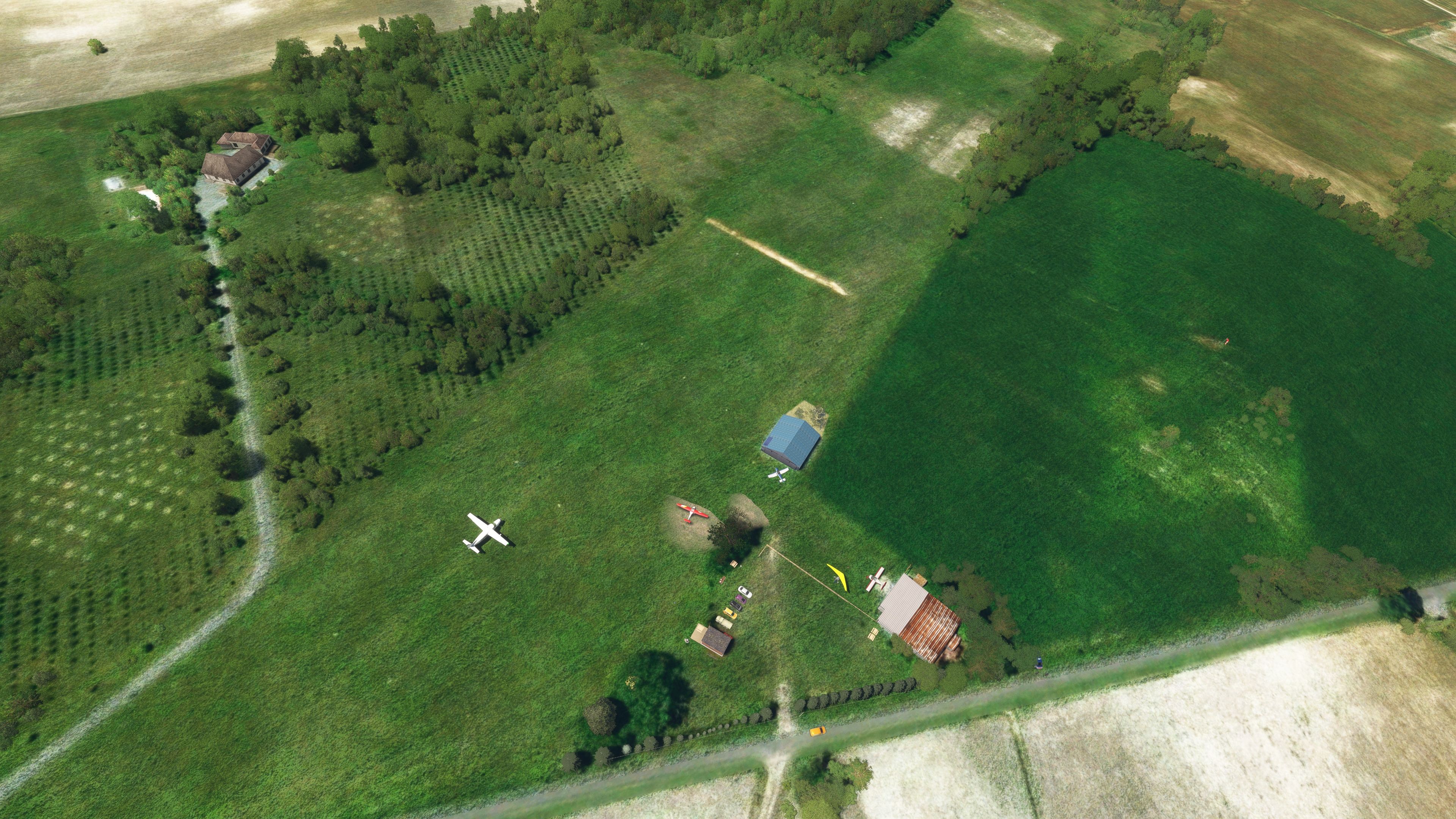
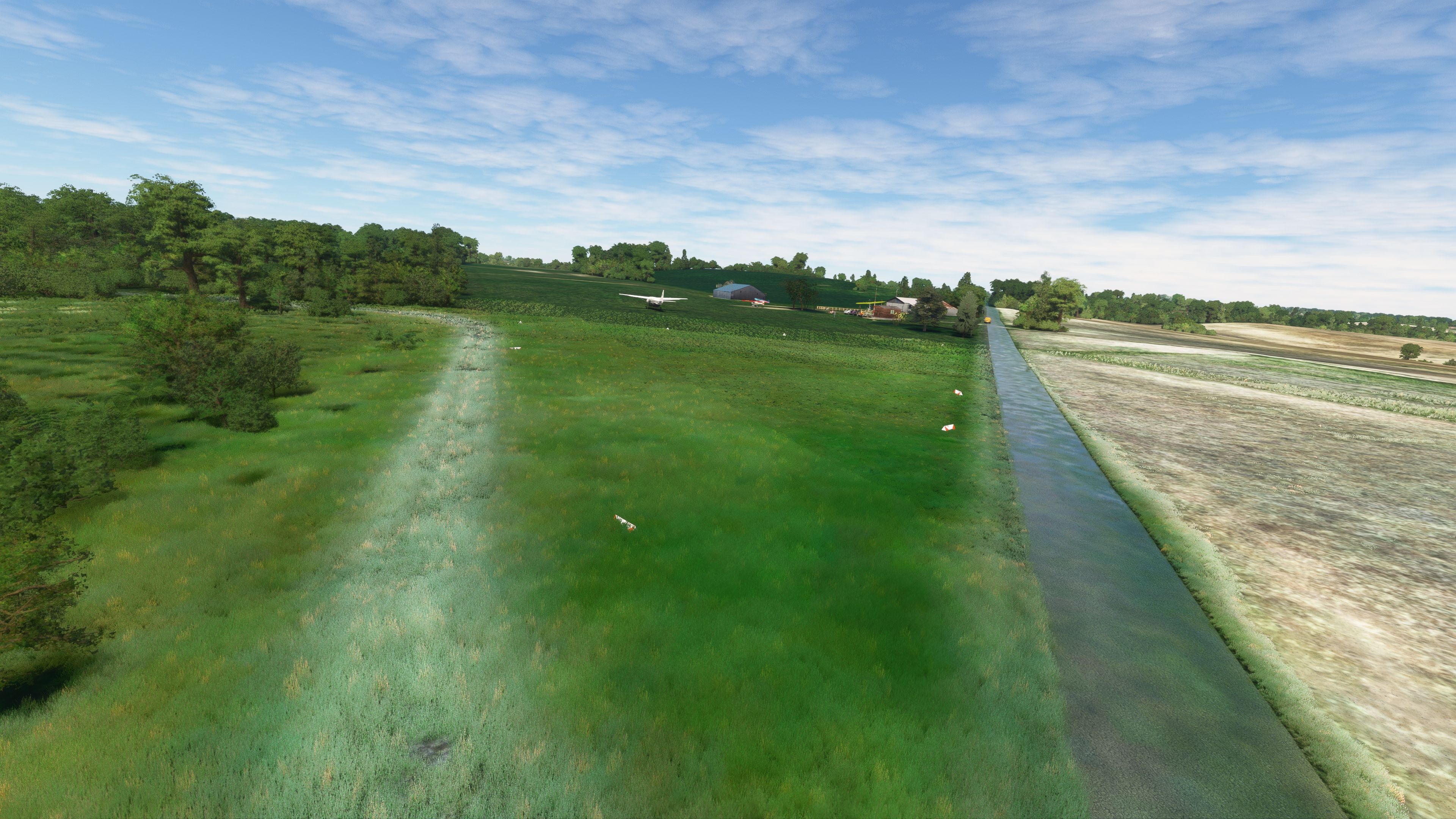
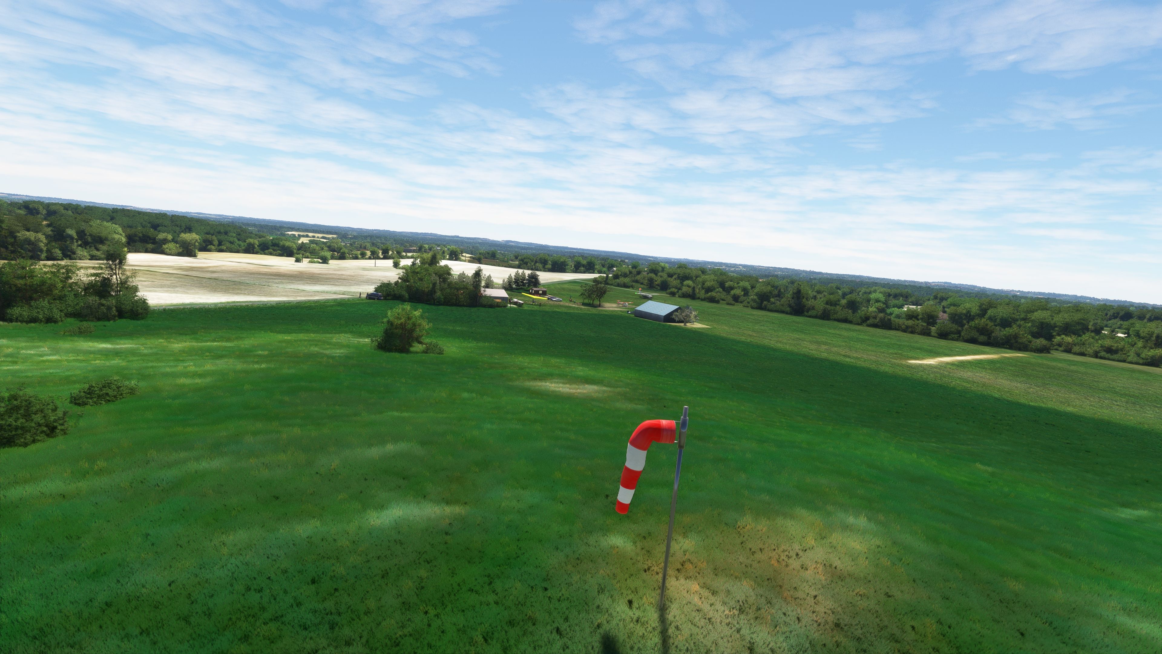
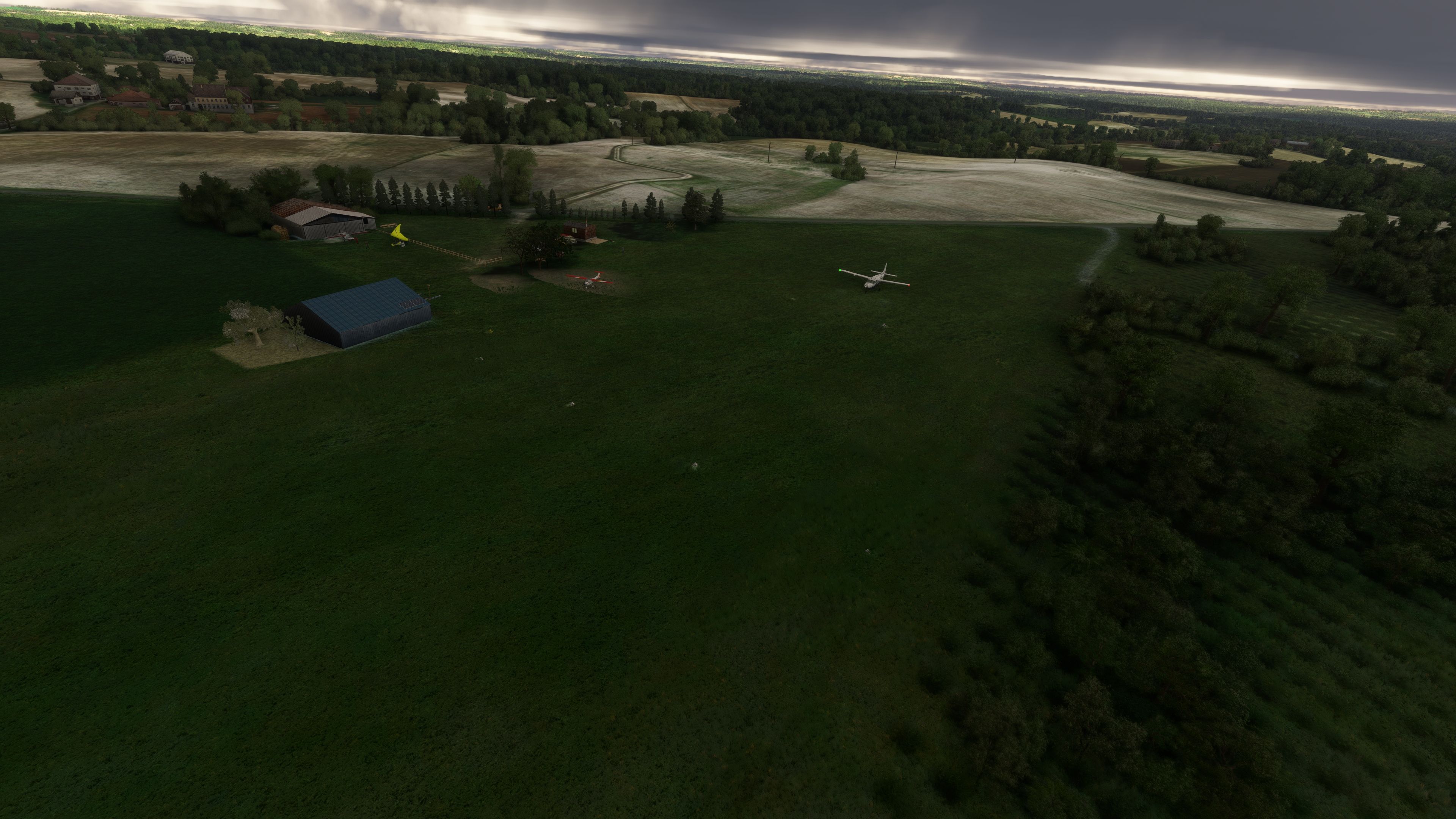
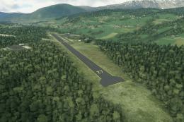
- Geographical Coordinates: Nestled at latitude N 44 41 55 and longitude E 000 38 20, the airfield lies at an elevation of 394 feet above sea level, providing pilots with challenging yet picturesque takeoffs and landings.
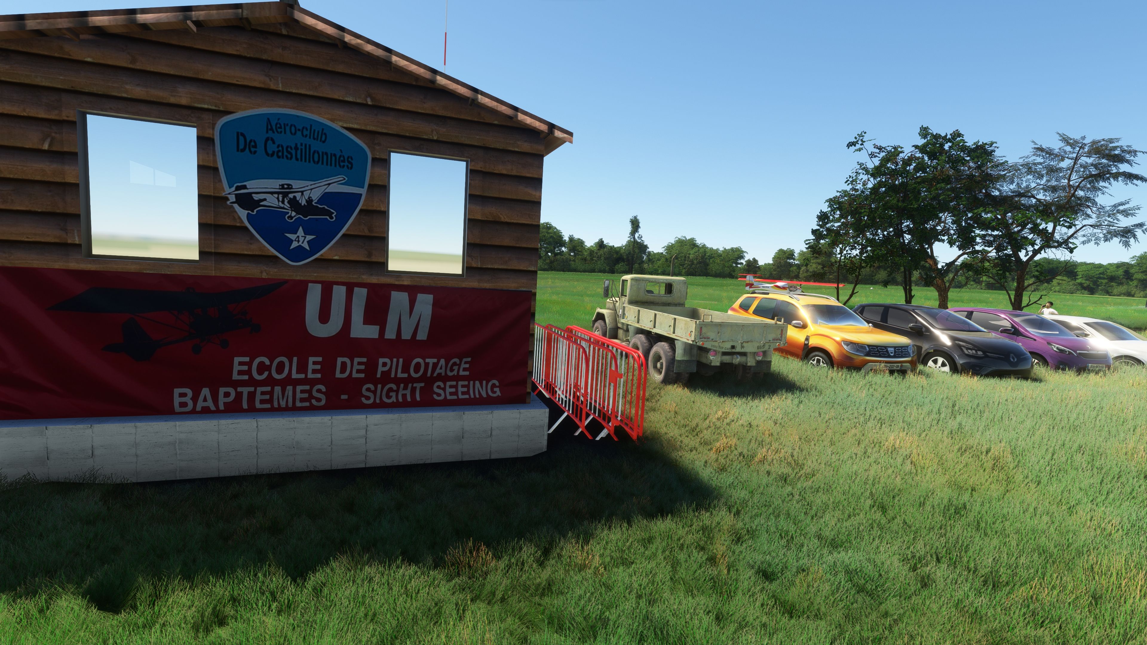
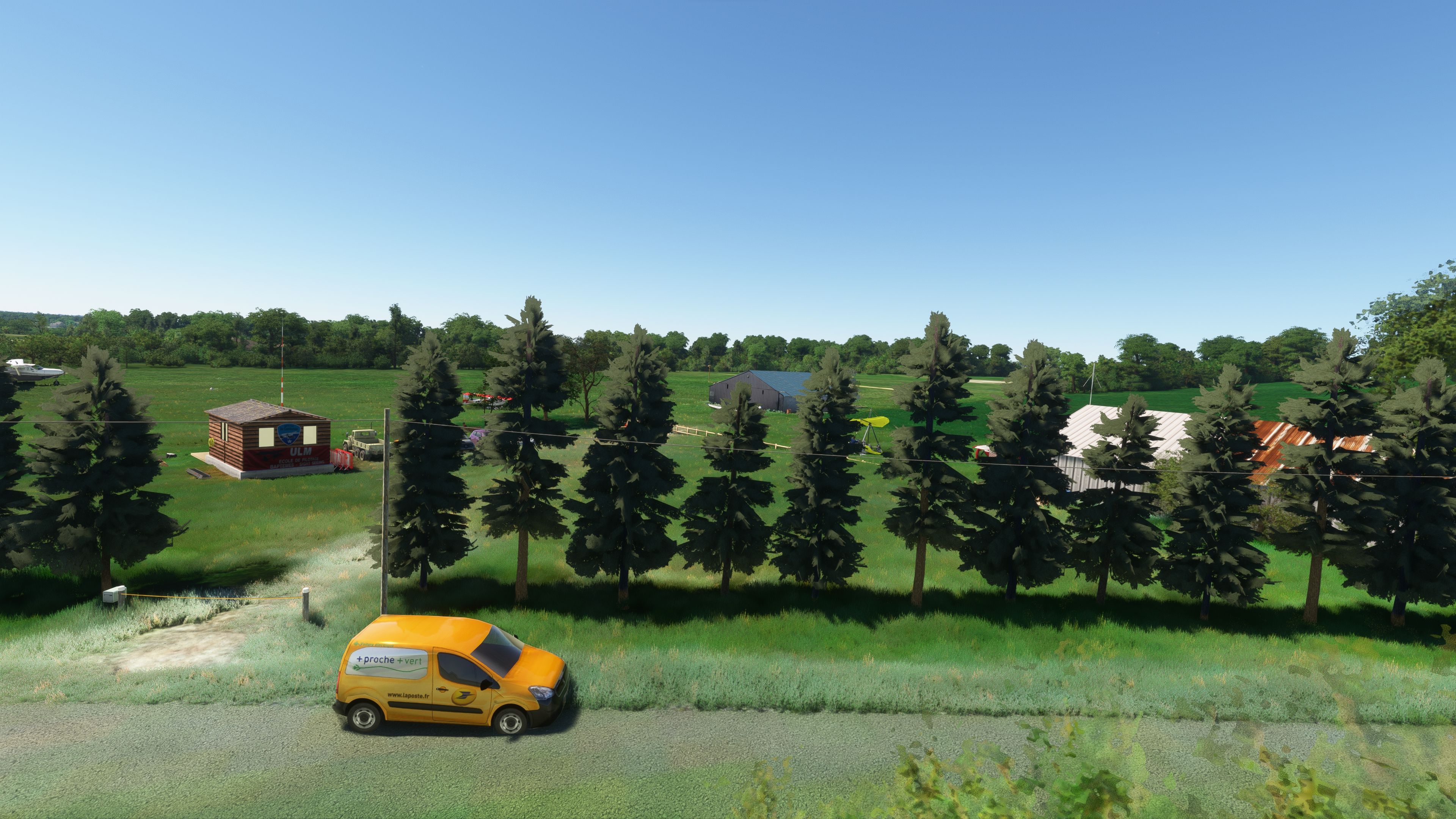
- Radio Communication: Equipped with a dedicated radio frequency of 123.500 MHz, ensuring seamless communication for incoming and outgoing flights.
- Fuel Services: Fuel is available upon request, accommodating longer flights and extended operations within the simulator.
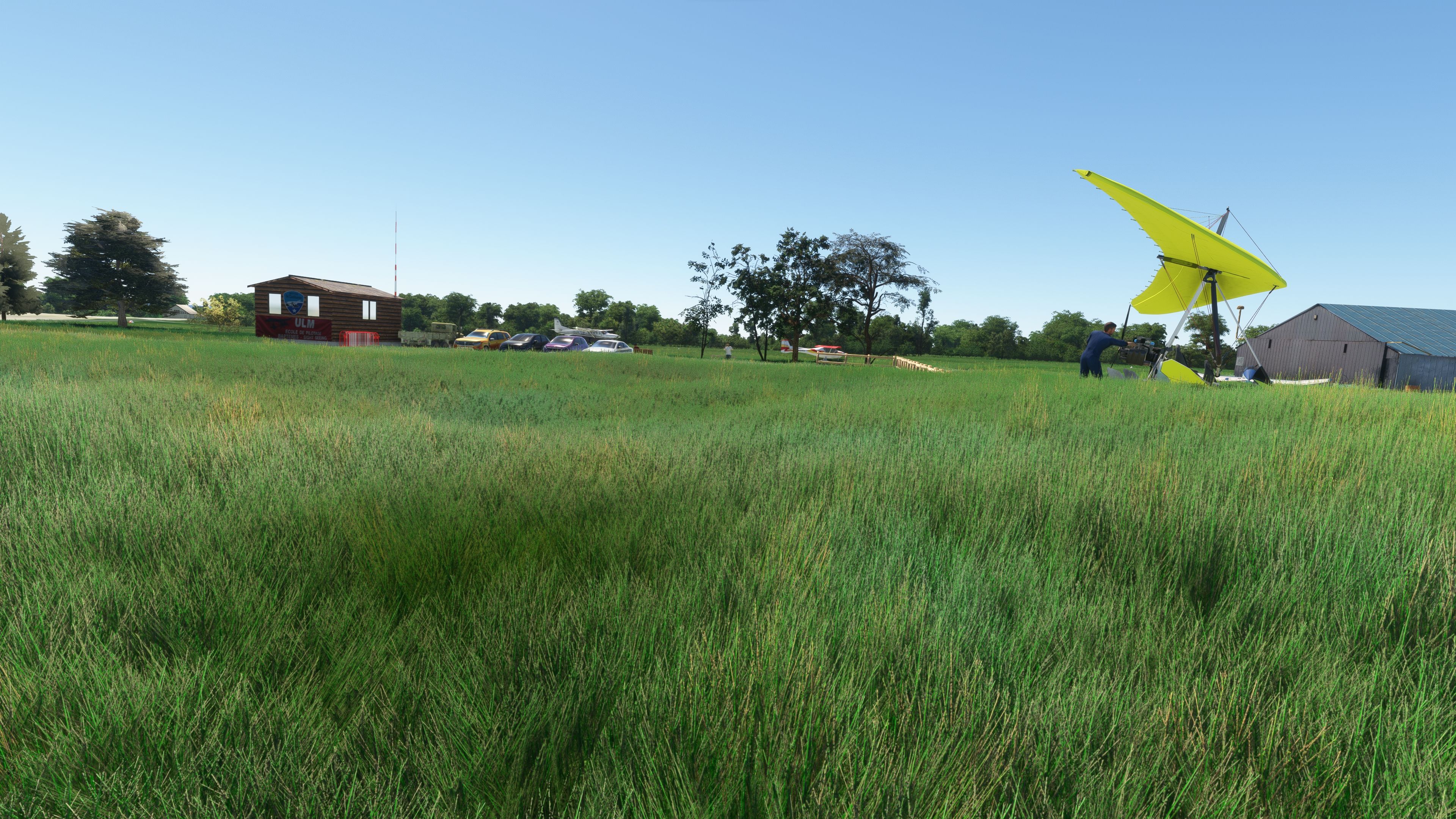
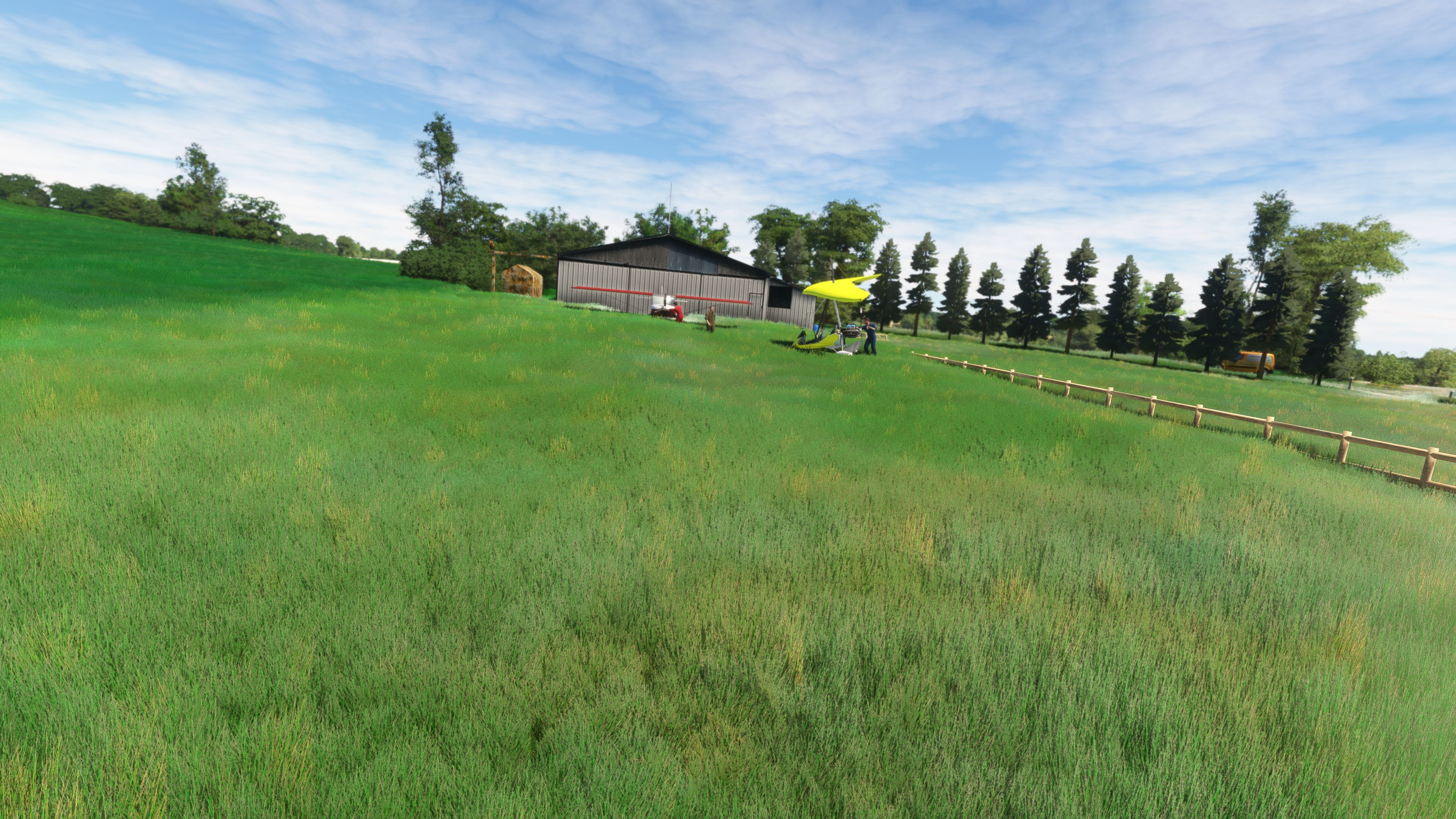
Unique Features
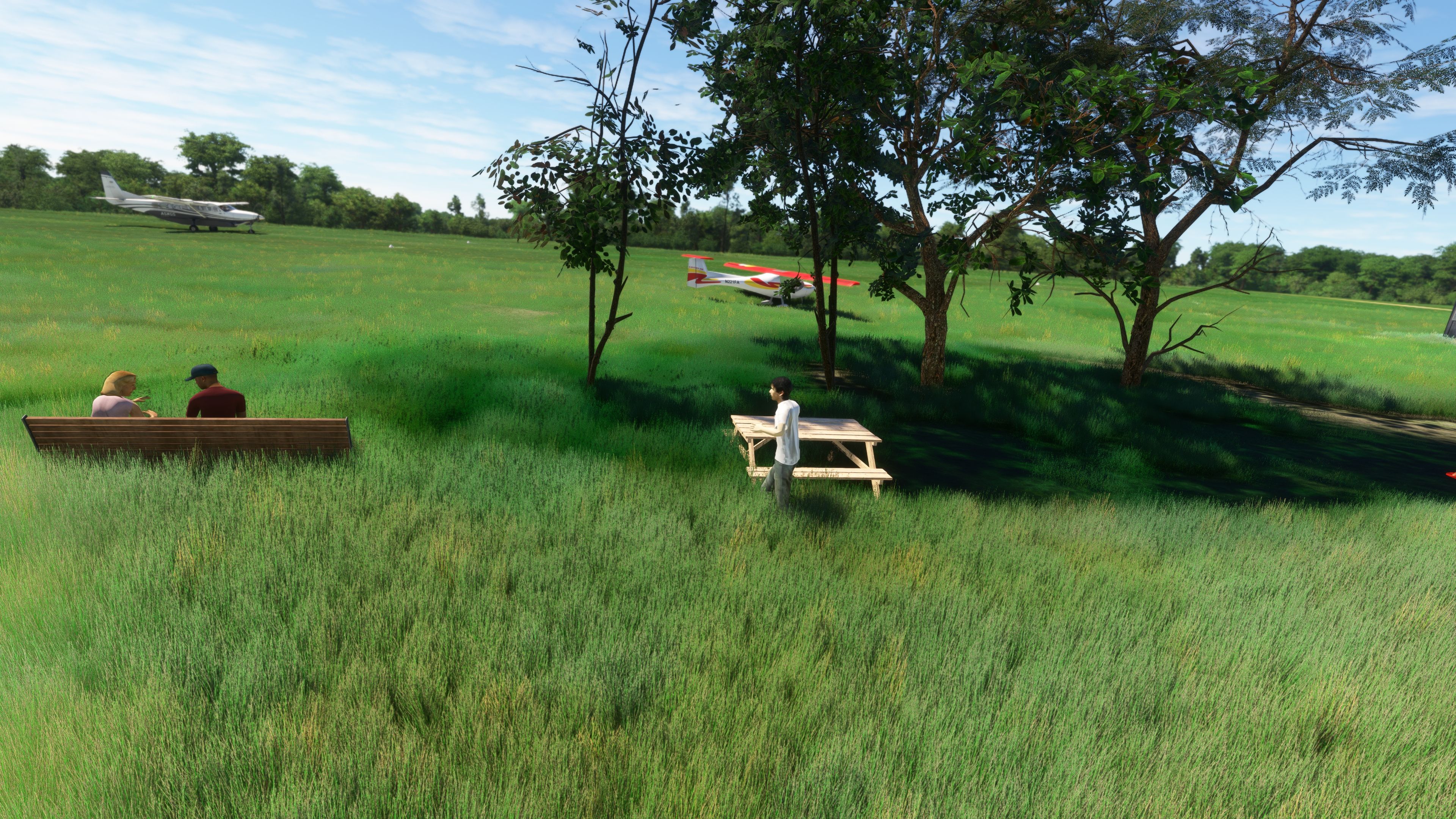
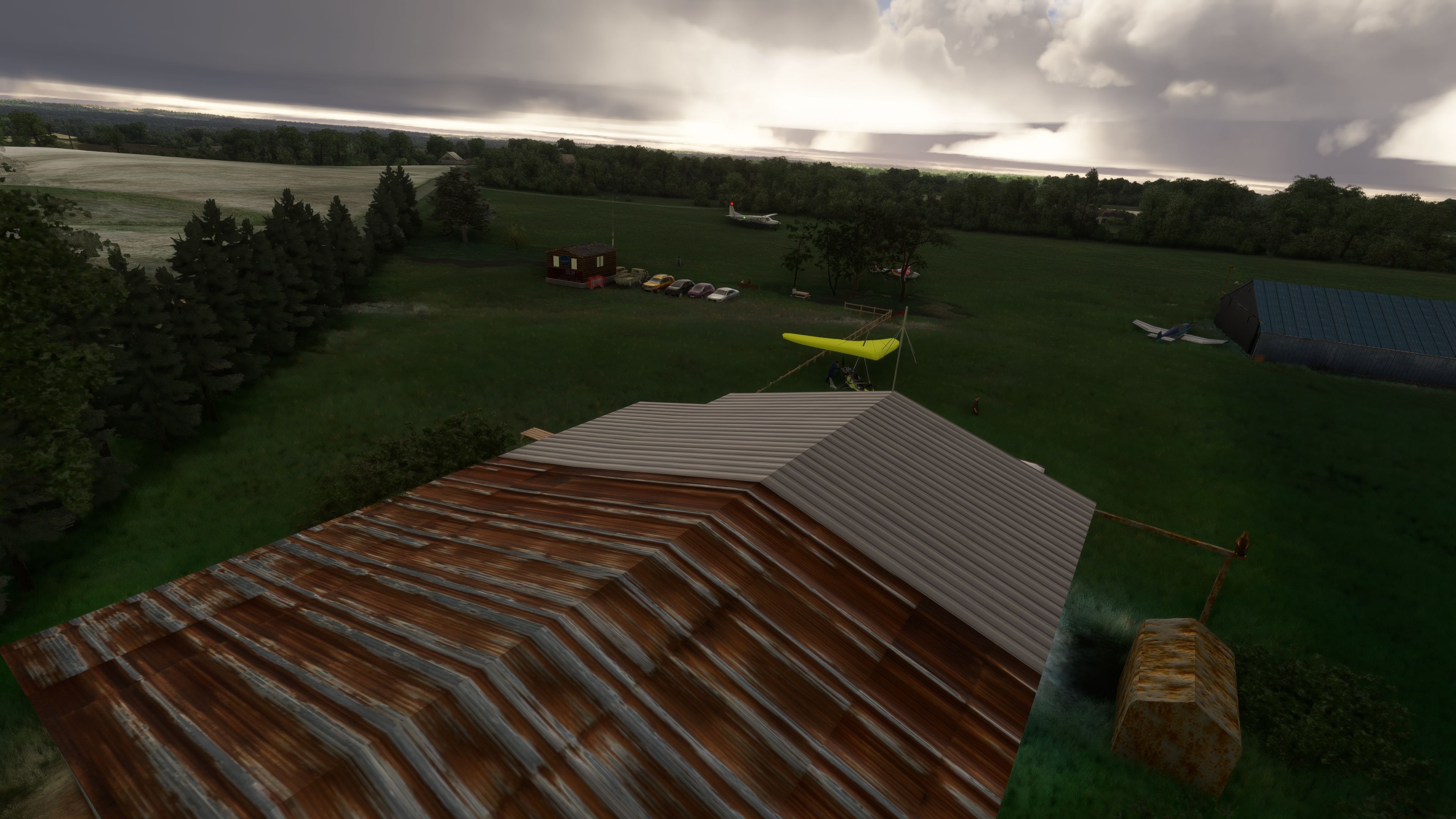
- Aircraft Operations: The airfield mandates specific flying protocols to preserve safety and local regulations. Microlights must perform a lap to the northeast at an altitude of 1000 feet above aerodrome level (AAL), while heavier aircraft are required to execute a southwestern runway turn at the same altitude.
- Environmental Considerations: A no-fly zone is enforced during the woodpigeon hunting season from the second week of October to November 20, showcasing the integration of real-world activities and their impact on flying schedules.
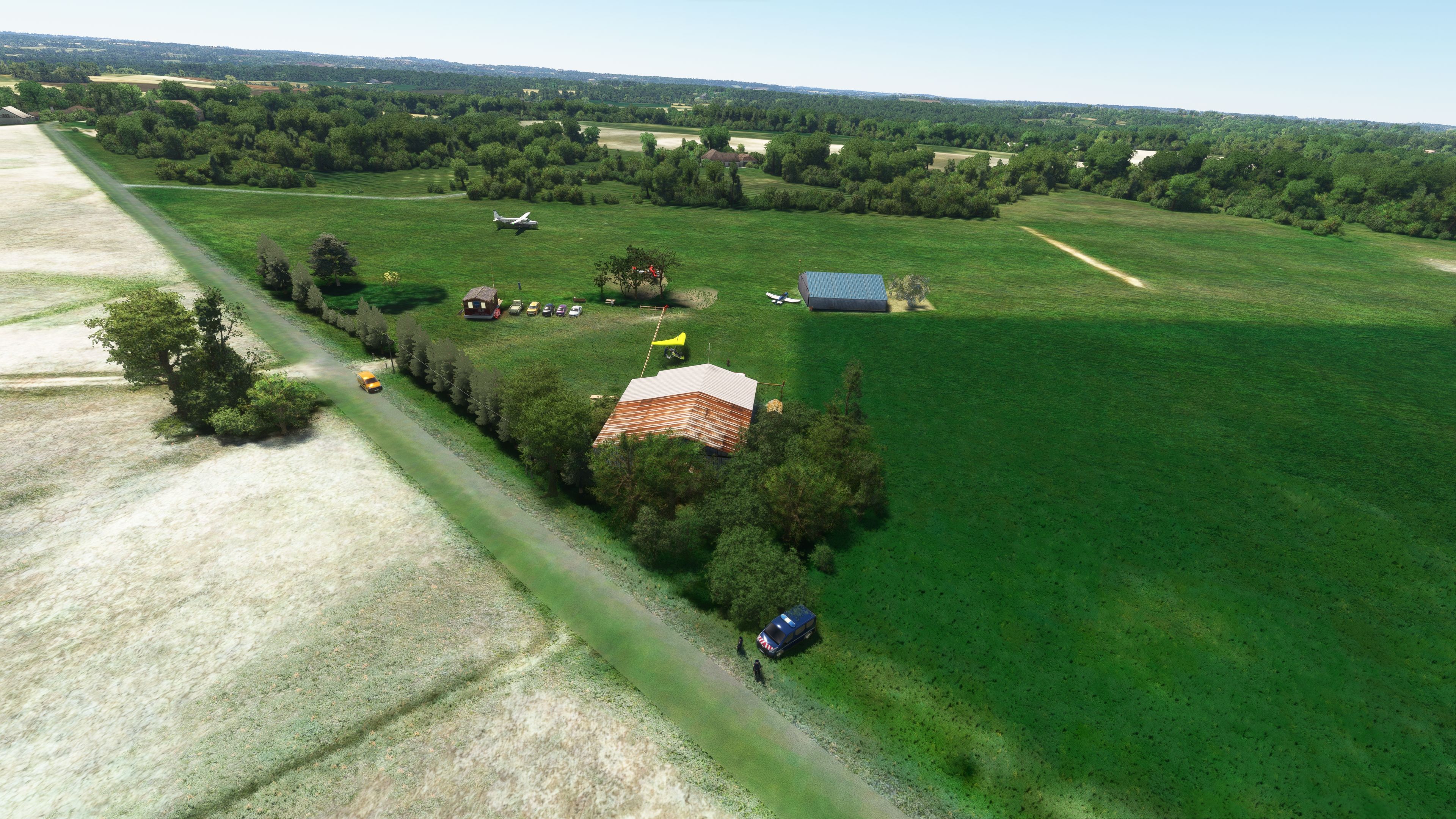
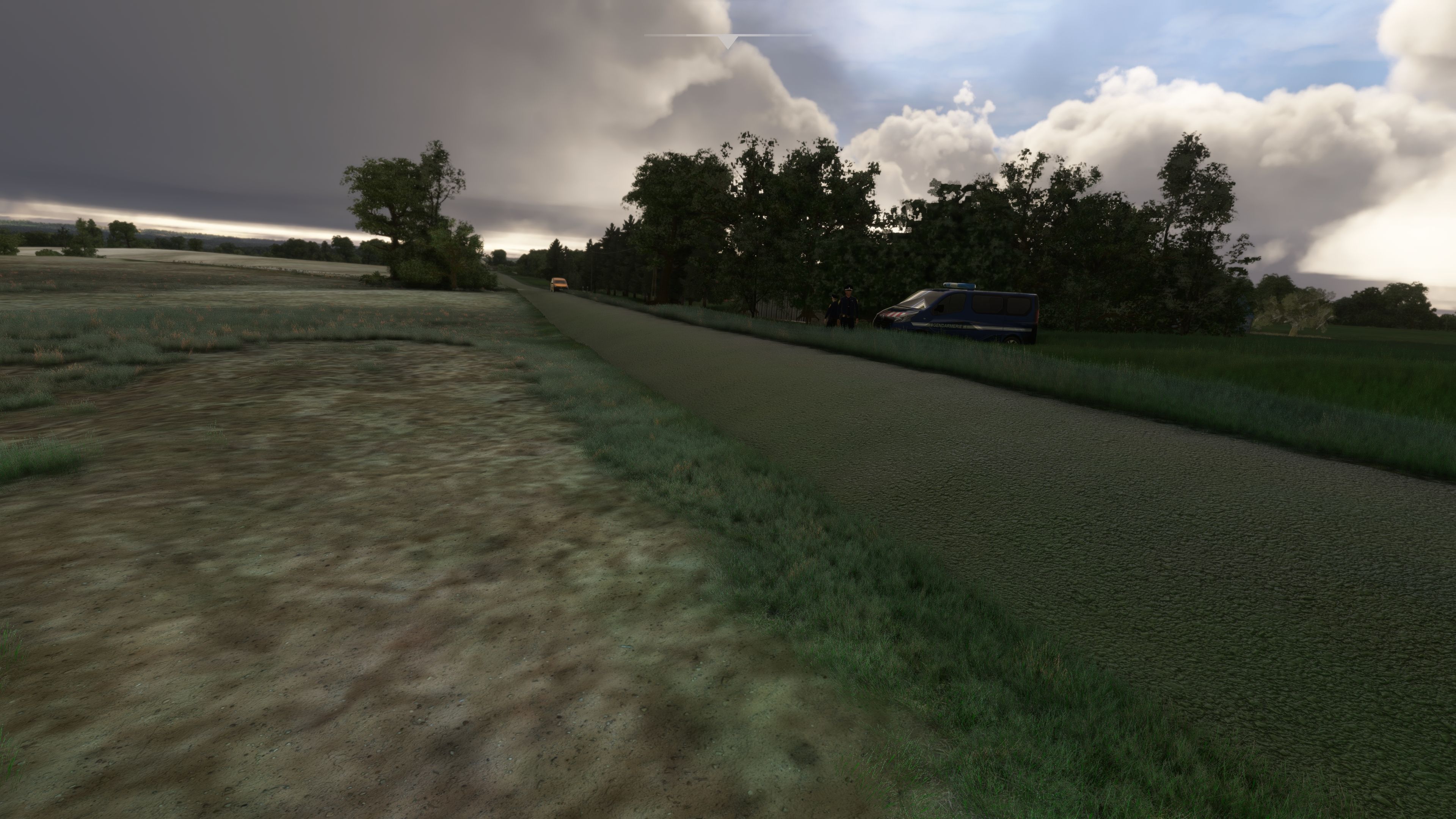
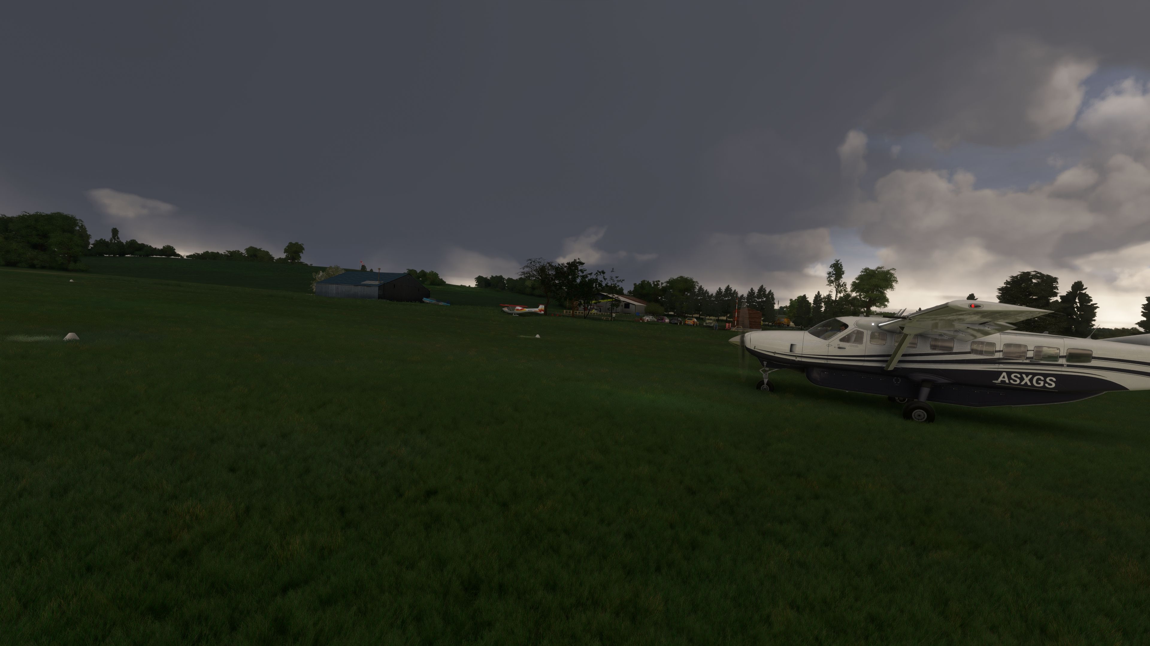
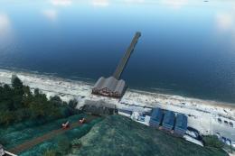
- Navigation Challenges: Pilots must navigate a road at threshold 33 and a nearby power line situated 250 meters away, adding to the realism and complexity of operations at LF4722.
Technical Enhancements
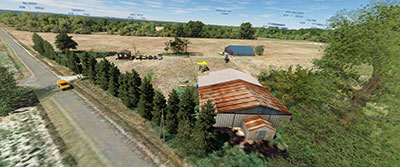
The scenery utilizes advanced mapping techniques with Google Maps enhancements to deliver an accurate and detailed depiction of the actual location. The developer has incorporated photos provided by the community to ensure that the virtual environment closely mirrors the real-world airfield.
Weather and Operational Limitations
The airfield's platform is not usable in wet conditions, reflecting the realistic limitations that pilots face in adverse weather scenarios. Additionally, operations are restricted after 8 PM for circling flights, ensuring community compliance and safety.
Scenery's Real-World Significance
Castillonnès LF4722 provides a gateway to the breathtaking landscapes of the Aquitaine region, renowned for its rolling hills and historic vineyards. This scenery offers not just a flying experience but a voyage into the heart of French countryside charm.
Installation
Simply extract the archive and copy the laserjet-lfwy-castillonnes folder into your MSFS Community folder.
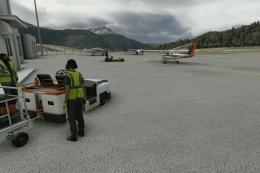
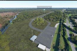
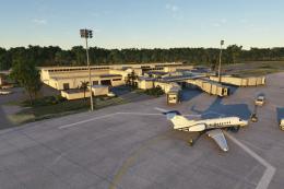
Images & Screenshots

Finding the Scenery
- MSFS Format:
-
44.69900000,0.63800000
You can copy and paste these coordinates into Microsoft Flight Simulator's search bar when starting a flight or the Developer Mode "Teleport" window to navigate directly to the center of this scenery area, airport, or landmark after you have installed this addon. - Decimal Degrees (DD):
-
Latitude: 44.699000°
Longitude: 0.638000° - Degrees, Minutes, Seconds (DMS):
-
Latitude: 44° 41' 56.400" N
Longitude: 0° 38' 16.800" E
Map Location
About the Developer: Pascal Ricq (laserjet34)
This mod was developed by Pascal Ricq (laserjet34).
Pascal Ricq, known in the MSFS community as laserjet34. At 65 years young, Pascal blends his passion for music and technology into his late-found hobby of modding for Microsoft Flight Simulator 2020. After picking up Blender and the MSFS SDK (Software Development Kit) two years ago, Pascal has focused on crafting detailed airport scenery and regional scenery packs, with a particular emphasis on French locales.
His contributions, available for free on Fly Away Simulation, bring enhanced realism to familiar surroundings. For those who enjoy his work, Pascal accepts donations via PayPal, aiding his continual investment in new Blender add-ons.
Donate
The developer of this mod/add-on (Pascal Ricq (laserjet34)) has worked hard in order to produce this freeware creation. If you enjoy and make use of this release, why not donate to the developer to help support their projects?
Installation Instructions
Most of the freeware add-on aircraft and scenery packages in our file library come with easy installation instructions which you can read above in the file description. For further installation help, please see our Flight School for our full range of tutorials or view the README file contained within the download. If in doubt, you may also ask a question or view existing answers in our dedicated Q&A forum.

0 comments
Leave a Response