 FSX Scenery
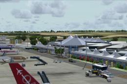
Princess Juliana International Airport
Princess Juliana International Airport (TNCM) in Saint Marteen, Netherlands A…
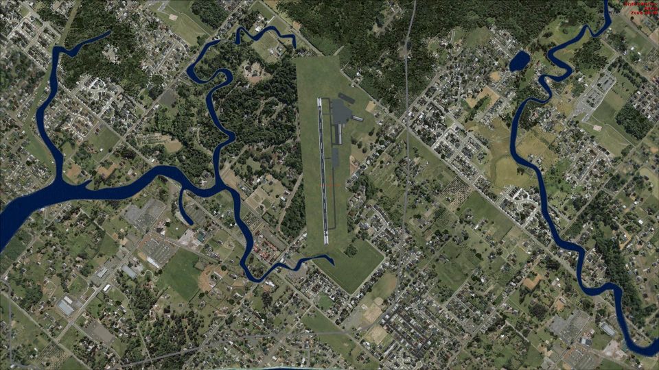
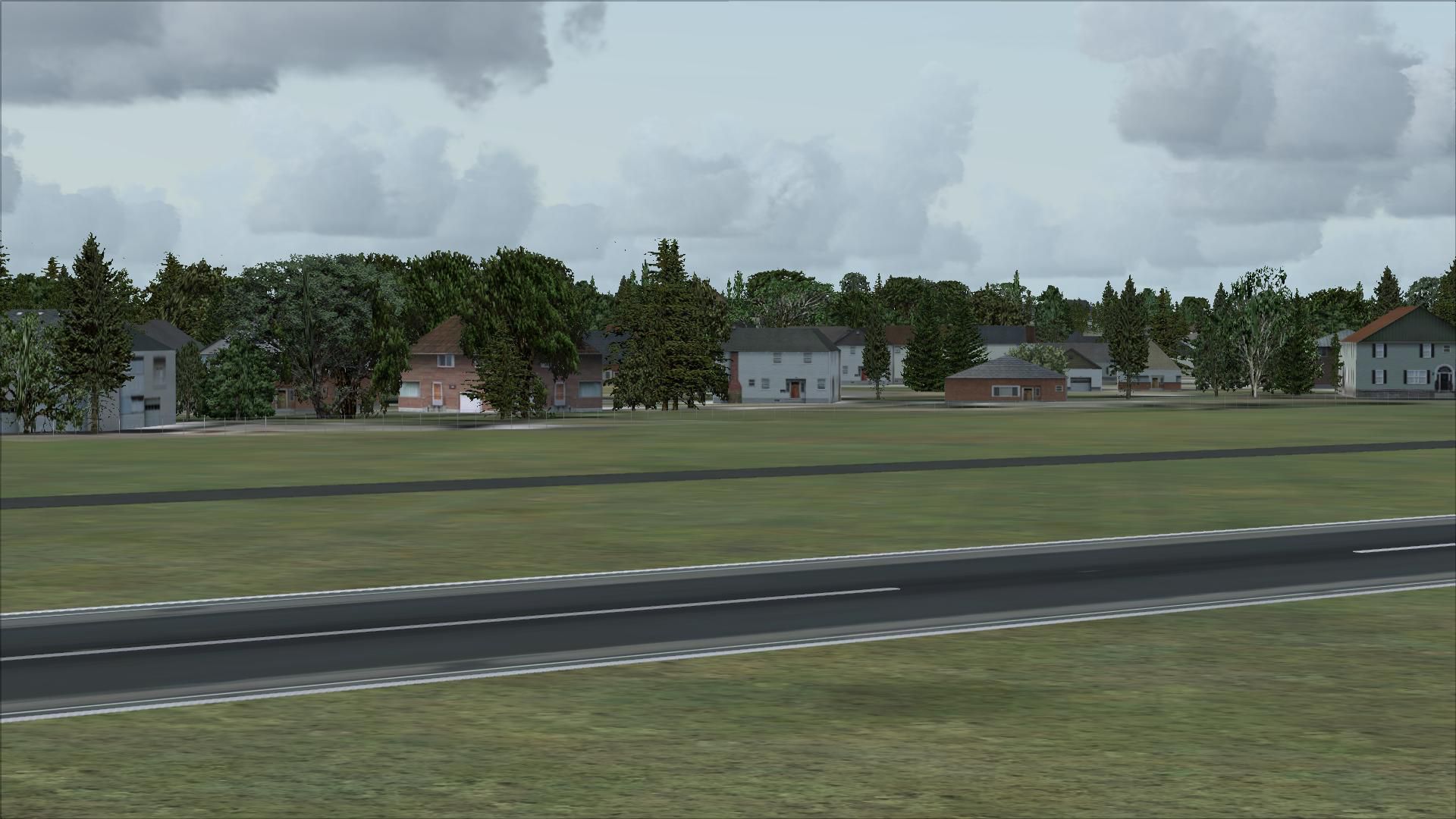
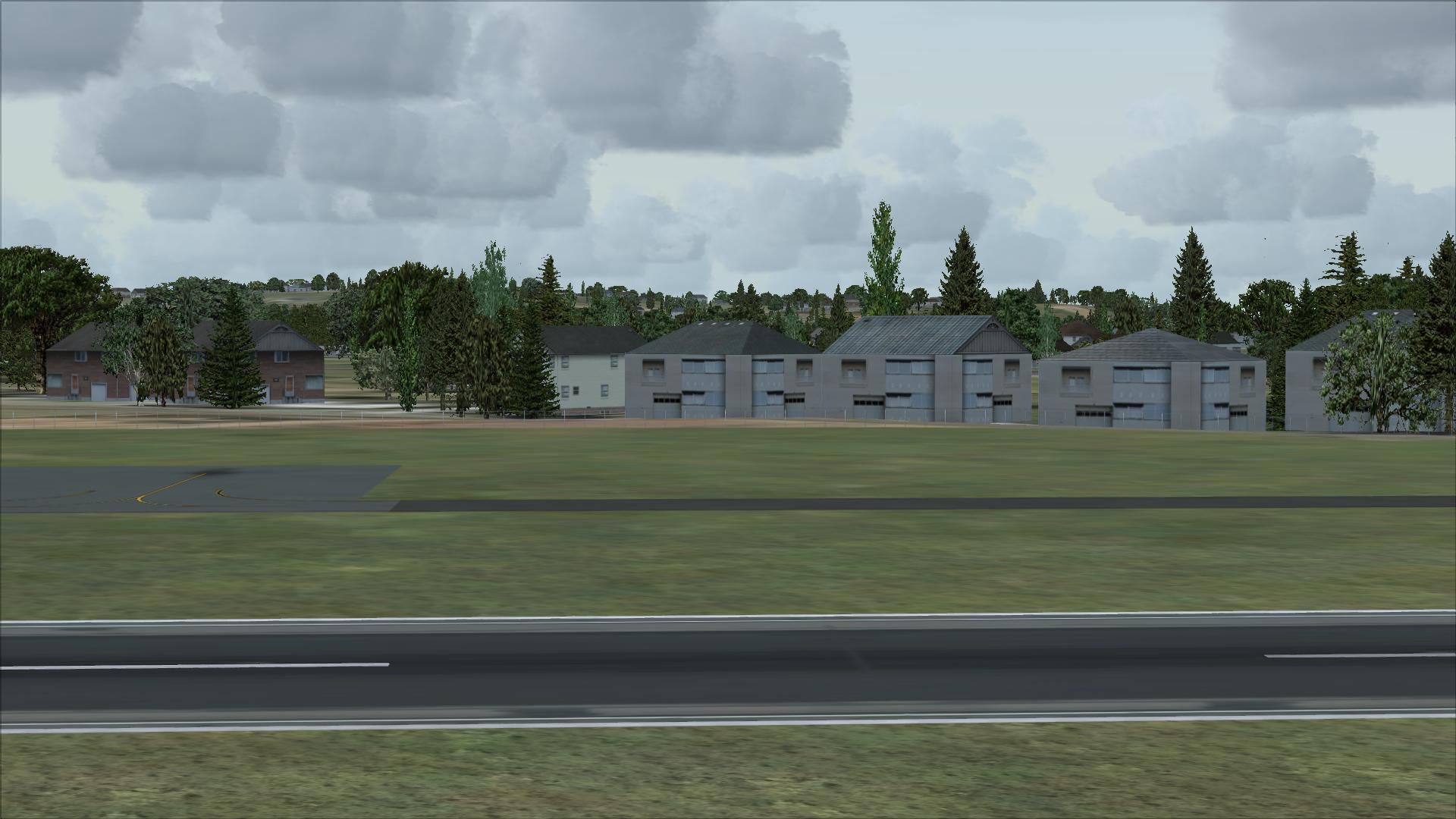
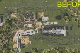
Marshfield Airport (3B2) scenery refreshes the Massachusetts field in Microsoft Flight Simulator X with corrected taxiway geometry and placements, improved runway and surface textures, and a ramp layout that better matches the real airport. Expanded GA parking, a fuel truck, and a dedicated car park replace unsuitable default buildings for a cleaner, more authentic scene.

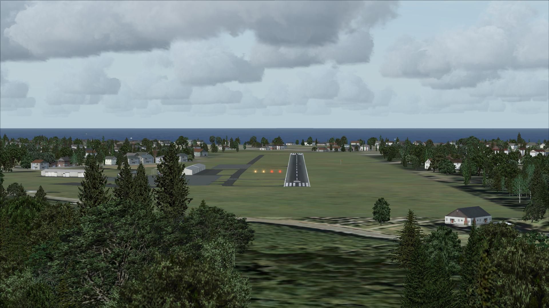
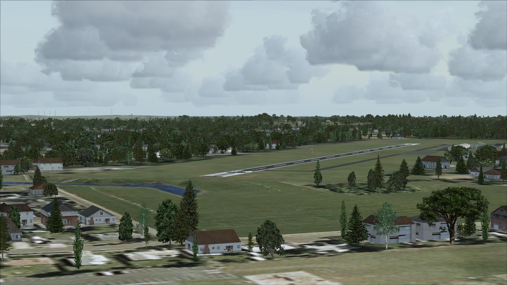
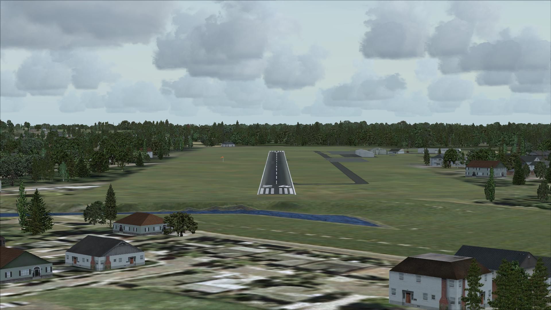


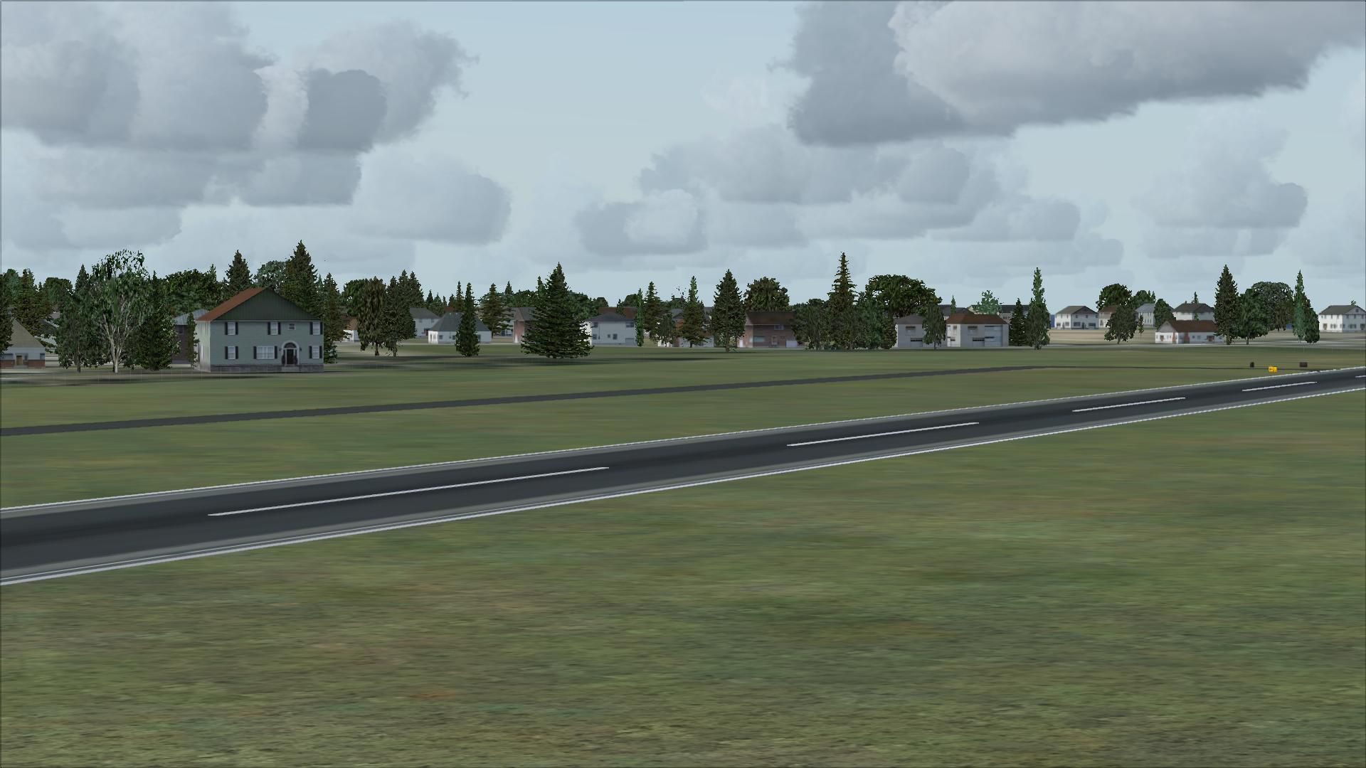

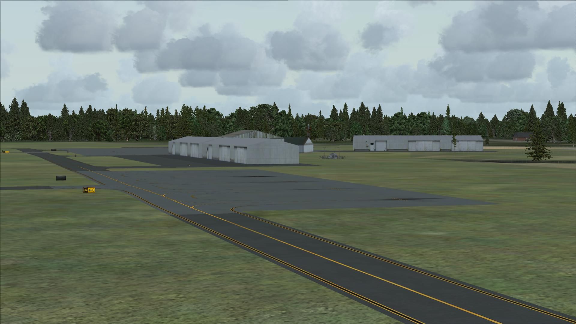
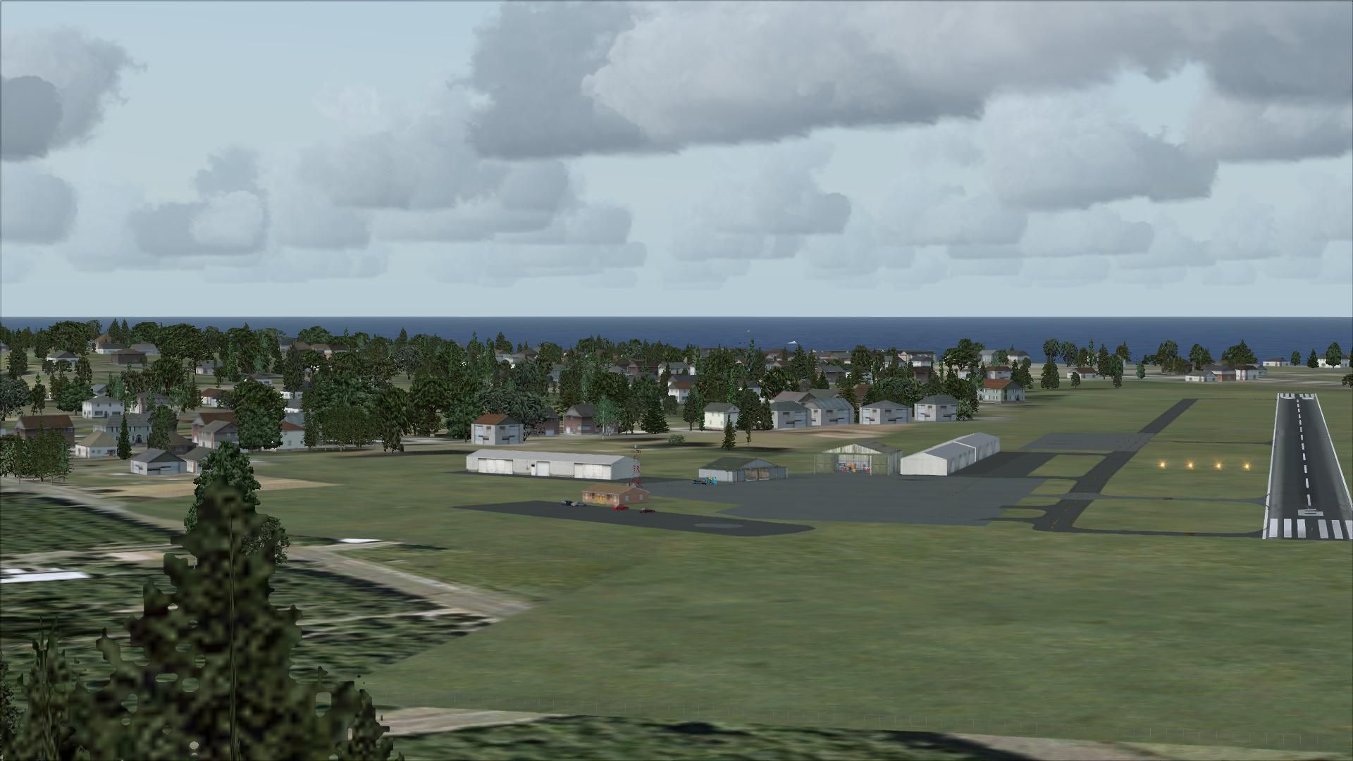
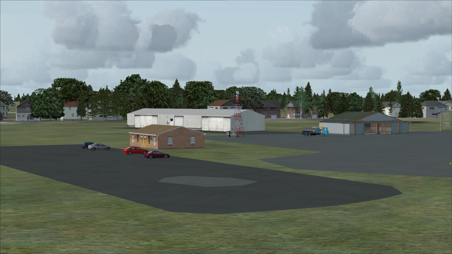
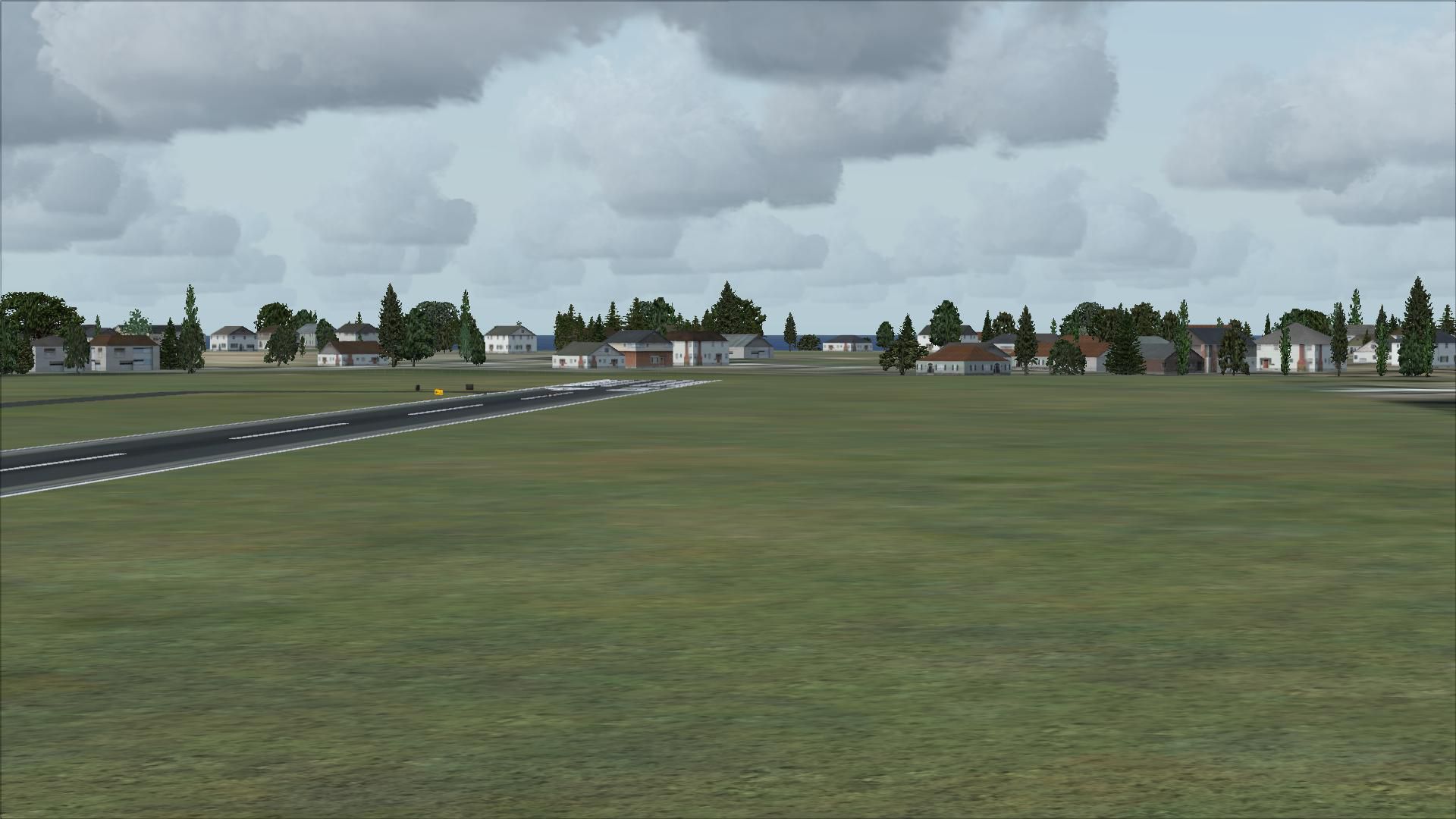
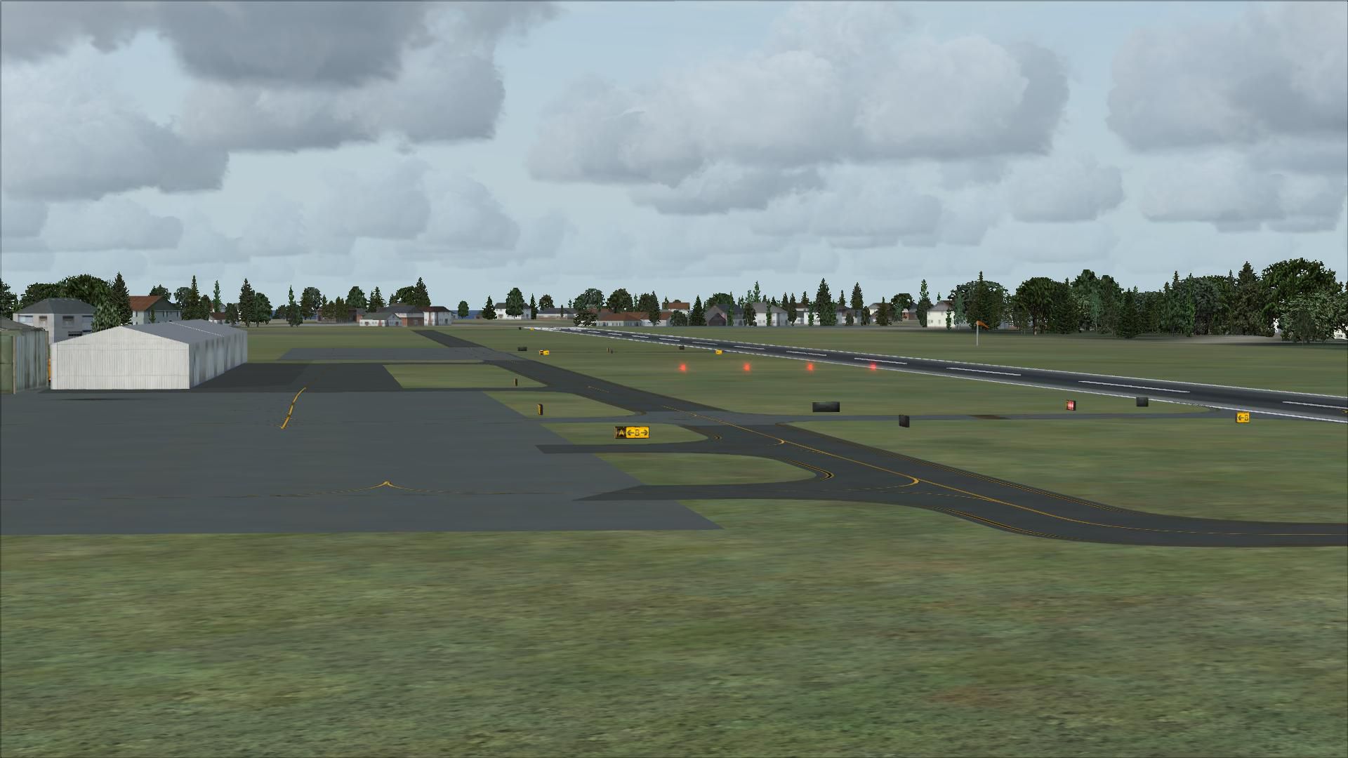

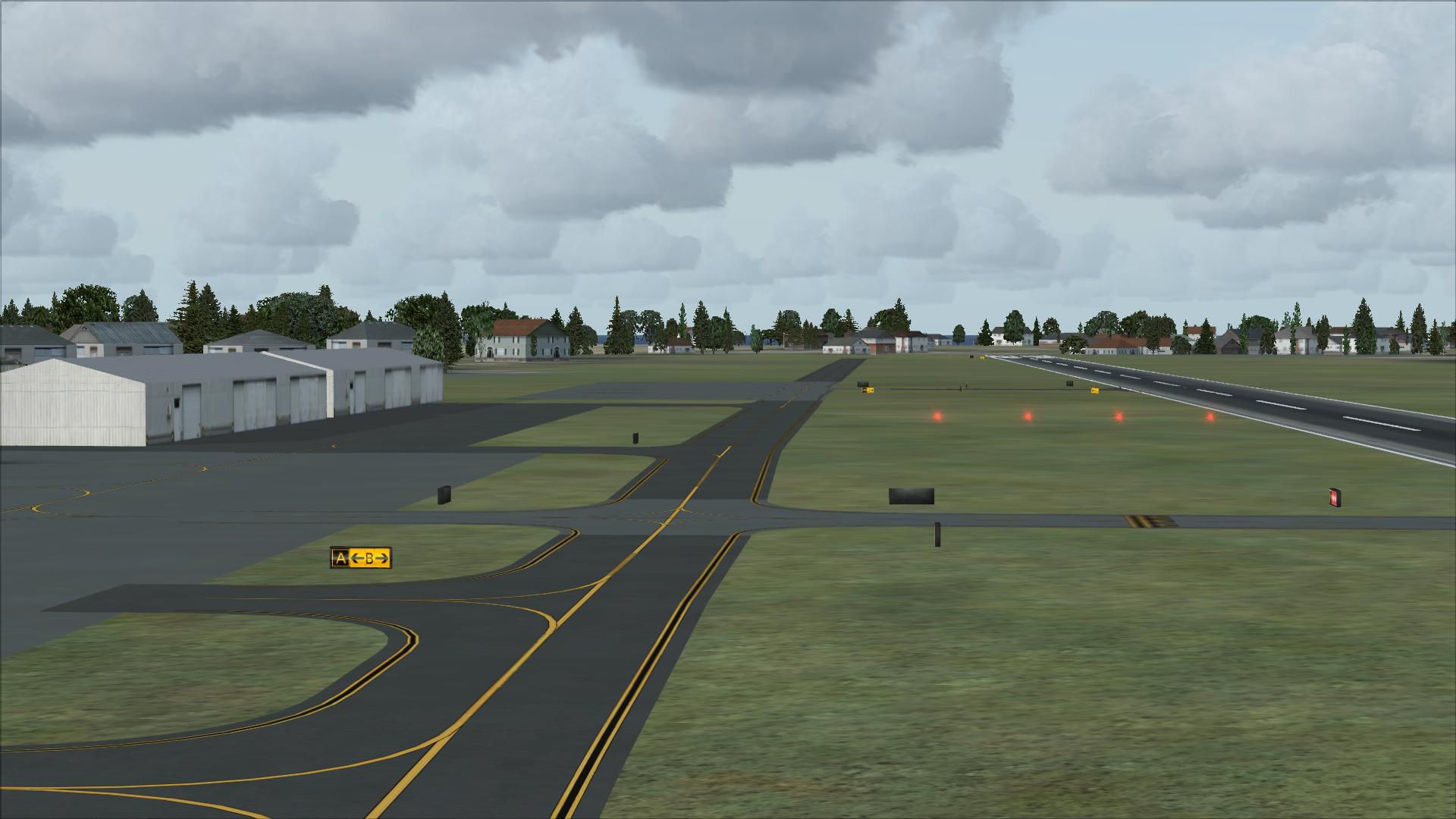

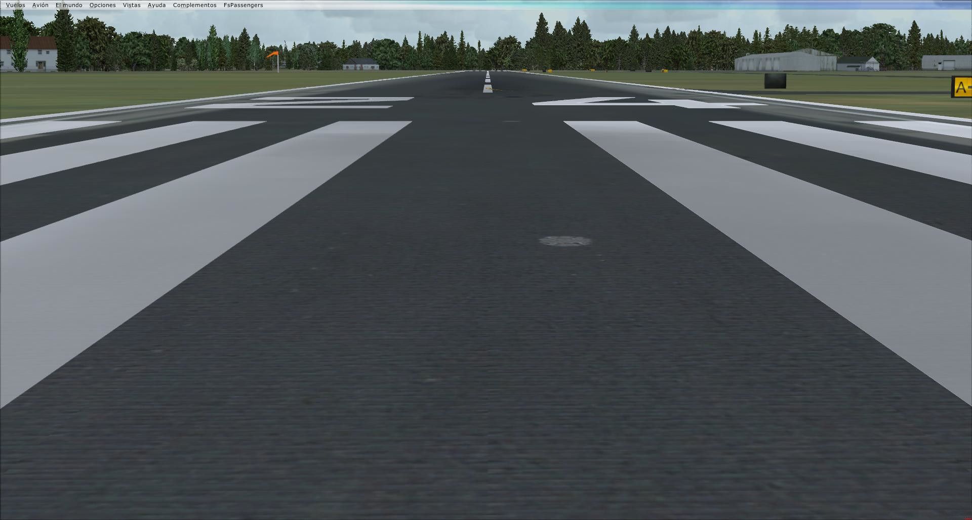
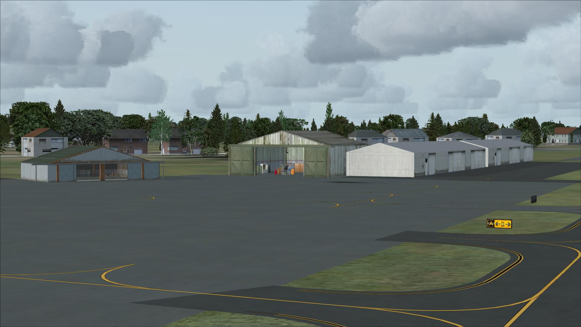
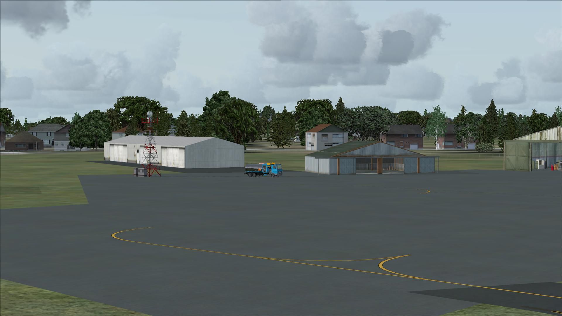
Marshfield Airport (3B2), Marshfield, Massachusetts (MA). Included updated taxiway and surface textures, added parking, adjusted ramp, added fuel truck, added car parking and more. By Kyle Cormier.
Marshfield Airport Scenery.
Changes to default airport include:
changed taxiway widths and surface textures, relocated taxiways to proper locations, changed runway texture, added GA parking, adjusted ramp space to real layout, added fuel truck, deleted self serve fuel which is not offered, added car parking lot and removed default buildings that were not appropriate to airport.
To use just place BGL file in your FSX/scenery addon/scenery folder and enjoy.
Kyle Cormier
Free for all simmers · 4.32 MB · Scanned clean
Download speed: Free tier is capped at 0.5 Mbps (this file takes approximately 1 min at the cap). PRO members download at full line speed.
FSX\Addon Scenery\ containing scenery and texture sub-folders.readme.txt or README file. It tells you exactly where files go, what dependencies are needed, and any quirks specific to this add-on.Use these coordinates to fly directly to this location once the mod is installed.
42.09870000,-70.67200000
Launch FSX or Prepar3D and use Flights → Load to open the downloaded .pln file. Your aircraft will be positioned at this location.
The archive mrshfld.zip has 27 files and directories contained within it.
This list displays the first 500 files in the package. If the package has more, you will need to download it to view them.
| Filename/Directory | File Date | File Size |
|---|---|---|
| 3B2_ADE_KTC.BGL | 01.30.09 | 6.72 kB |
| read me.txt | 01.30.09 | 521 B |
| flyawaysimulation.txt | 10.29.13 | 959 B |
| Go to Fly Away Simulation.url | 01.22.16 | 52 B |
| Screenshots | 08.12.19 | 0 B |
| screen-1.jpg | 08.10.19 | 206.35 kB |
| screen-10.jpg | 08.10.19 | 176.11 kB |
| screen-11.jpg | 08.10.19 | 215.16 kB |
| screen-12.jpg | 08.10.19 | 190.93 kB |
| screen-13.jpg | 08.10.19 | 170.27 kB |
| screen-14.jpg | 08.10.19 | 157.47 kB |
| screen-15.jpg | 08.10.19 | 150.09 kB |
| screen-16.jpg | 08.10.19 | 170.50 kB |
| screen-17.jpg | 08.10.19 | 182.35 kB |
| screen-18.jpg | 08.10.19 | 174.02 kB |
| screen-19.jpg | 08.10.19 | 249.17 kB |
| screen-2.jpg | 08.10.19 | 221.18 kB |
| screen-20.jpg | 08.10.19 | 164.89 kB |
| screen-21.jpg | 08.10.19 | 184.28 kB |
| screen-22.jpg | 08.10.19 | 237.93 kB |
| screen-3.jpg | 08.10.19 | 502.22 kB |
| screen-4.jpg | 08.10.19 | 188.35 kB |
| screen-5.jpg | 08.10.19 | 192.52 kB |
| screen-6.jpg | 08.10.19 | 196.09 kB |
| screen-7.jpg | 08.10.19 | 200.71 kB |
| screen-8.jpg | 08.10.19 | 215.27 kB |
| screen-9.jpg | 08.10.19 | 192.12 kB |
More FSX & P3D add-ons hand-picked based on this download.
FSX Scenery
Princess Juliana International Airport (TNCM) in Saint Marteen, Netherlands A…
 FSX Scenery
Los Angeles Airport Scenery v3, California (CA). This photoreal scenery is a …
 FSX Scenery
Barbados International Airport (TBPB). Grantley Adams International Airport f…
 FSX Scenery
Paris Charles de Gaulle Airport (CDG, LFPG), France. The entire airport has b…
 FSX Scenery
John F. Kennedy Airport (KJFK), New York, NYU. This is a photoreal scenery re…
 FSX Scenery
Dubai International Airport (OMDB), Dubai. Includes a new passenger terminal …
 FSX Scenery
Soekarno-Hatta International Airport (WIII), Jakarta, Indonesia. An update to…
 FSX Scenery
San Diego International Airport, California (CA), USA. This photoreal scenery…
Be the first to leave a comment on this download.
Be the first to share your thoughts on this download.