 FSX Scenery
Williamson County Regional Airport
This freeware rendition of Williamson County Regional Airport (KMWA), located…
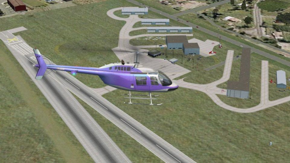
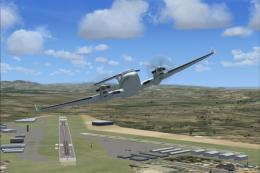
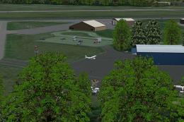
Cherokee County Regional Airport (KCKP) scenery brings Cherokee, Iowa to life in FSX with custom objects, people, and refined building placement aligned for Ultimate Terrain X roads. Updated grass runway and apron positioning follows current mapping, and an added ATIS enhances local operations for day or night flying.
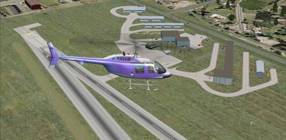
Cherokee County Regional Airport (KCKP), Cherokee, Iowa (IA), USA. Includes people, objects, adjustment of buildings grass runway and pads to accomodate UTX. By Jimmy R. Martin.
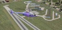
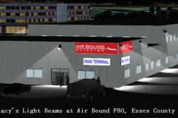
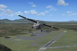
Screenshot of Cherokee County Regional Airport Scenery during the day.
ADDED ATIS.
Had to adjust buildings to accomodate Ultimate Terrain X roads, etc. Adjusted grass runway to location showed on map and google earth.
Place both folders into your addon scenery folder or the contents into a folder of your choice within the addon scenery folder.

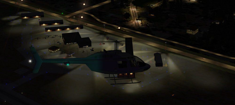
Screenshot of Cherokee County Regional Airport Scenery at night.
Free for all simmers · 444.19 KB · Scanned clean Jul 2026
Download speed: Free tier is capped at 0.5 Mbps. PRO members download at full line speed.
FSX\Addon Scenery\ containing scenery and texture sub-folders.readme.txt or README file. It tells you exactly where files go, what dependencies are needed, and any quirks specific to this add-on.Use these coordinates to fly directly to this location once the mod is installed.
42.73200000,-95.55500000
Launch FSX or Prepar3D and use Flights → Load to open the downloaded .pln file. Your aircraft will be positioned at this location.
The archive kckp.zip has 20 files and directories contained within it.
This list displays the first 500 files in the package. If the package has more, you will need to download it to view them.
| Filename/Directory | File Date | File Size |
|---|---|---|
| 03624.jpg | 03.10.11 | 9.60 kB |
| AirNav KCKP - Cherokee County Regional Airport.url | 03.11.11 | 180 B |
| file_id.diz | 03.11.11 | 169 B |
| PS0105.jpg | 03.11.11 | 43.21 kB |
| PS0106.jpg | 03.11.11 | 105.25 kB |
| ramp lights.txt | 01.25.11 | 458 B |
| README INSTALLATION.txt | 03.11.11 | 785 B |
| scenery | 03.11.11 | 0 B |
| KCKP_ADEX_JTM.ad2.ad2 | 03.11.11 | 112.77 kB |
| KCKP_ADEX_JTM.BGL | 03.11.11 | 6.35 kB |
| KCKP_jRm_IS.bgl | 03.11.11 | 2.67 kB |
| RampLight_Library.bgl | 01.11.05 | 30.63 kB |
| Thumbs.db | 05.14.06 | 208.50 kB |
| texture | 03.11.11 | 0 B |
| ESDG_ramp.BMP | 01.09.05 | 32.07 kB |
| ESDG_ramp_lm.BMP | 01.09.05 | 32.07 kB |
| web.txt | 03.11.11 | 169 B |
| KCKP | 03.11.11 | 0 B |
| flyawaysimulation.txt | 10.29.13 | 959 B |
| Go to Fly Away Simulation.url | 01.22.16 | 52 B |
Only PRO members can place votes.
More FSX & P3D add-ons hand-picked based on this download.
FSX Scenery
This freeware rendition of Williamson County Regional Airport (KMWA), located…
 FSX Scenery
San Luis County Regional Airport (KSBP), San Luis Obispo, California (CA). Us…
 FSX Scenery
Paulding County Regional Airport (KPUJ), Dallas, Georgia (GA), v1.0. Paulding…
 FSX Scenery
Saratoga County Airport, New York (5B2) v2.0 for FSX Acceleration. Located in…
FSX Scenery
Aspen-Pitkin County Airport Scenery (KASE), Colorado (CO). This scenery adds …
 FSX Scenery
Westchester County Airport (KPHN), White Plains, New York (NY). An improved v…
 FSX Scenery
Essex County Airport NJ (IATA: CDW, ICAO: KCDW, FAA LID: CDW) is a public air…
 FSX Scenery
Charles M. Schulz - Sonoma County Airport (KSTS), Santa Rosa, California (CA)…
Be the first to leave a comment on this download.
Be the first to share your thoughts on this download.