FSX Hergest Ridge Scenery
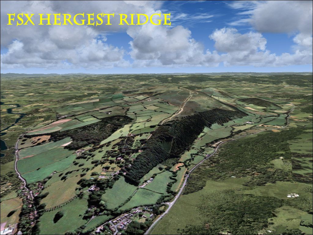
Hergest Ridge brings the England–Wales border hillscape to life with photoreal ground textures around Kington and Gladestry, accurately capturing the 1,397‑foot summit and surrounding countryside. Built for FSX, it matches UTX Europe alignment yet blends cleanly with default scenery for convincing low-level VFR flights, especially in summer.

 United Kingdom
 - File: hergest.zip
- Size:42.67 MB
- Scan:
Clean (7d)

- Access:Freeware
- Content:Everyone
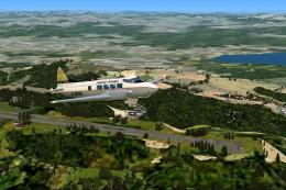
Hergest Ridge, UK. Hergest Ridge is a large elongated hill which traverses the border between England and Wales between the town of Kington in Herefordshire and the village of Gladestry in Powys. Its highest point, which is in England, is 1397 feet high. The scenery is photoreal and has been aligned with UTX Europe, although it will work with default scenery. By Pips Perez.
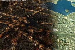
Screenshot of Hergest Ridge Scenery.
This scenery Has been tested In FSX only. It has been aligned with UTX Europe, although it will work with Fsx default Scenery. The Scenery looks best in Summer.
To install copy the whole folder into your fsx addon scenery folder and activate using the scenery library.
Images & Screenshots

Finding the Scenery
- FSX/Prepar3D Coordinates:
-
52.21000000,-3.07000000
Use the downloaded flight plan file by launching FSX/P3D, selecting "Load Flight Plan" in the flight planner, and choosing the .pln file. Your aircraft will be positioned directly at the add-on’s location. - Decimal Degrees (DD):
-
Latitude: 52.210000°
Longitude: -3.070000° - Degrees, Minutes, Seconds (DMS):
-
Latitude: 52° 12' 36.000" N
Longitude: 3° 04' 12.000" W
Map Location
The archive hergest.zip has 7 files and directories contained within it.
File Contents
This list displays the first 500 files in the package. If the package has more, you will need to download it to view them.
| Filename/Directory | File Date | File Size |
|---|---|---|
| hergest.jpg | 03.13.11 | 234.68 kB |
| readme.txt | 03.13.11 | 563 B |
| scenery | 03.13.11 | 0 B |
| hergest.bgl | 03.13.11 | 44.80 MB |
| texture | 03.13.11 | 0 B |
| flyawaysimulation.txt | 10.29.13 | 959 B |
| Go to Fly Away Simulation.url | 01.22.16 | 52 B |
Installation Instructions
Most of the freeware add-on aircraft and scenery packages in our file library come with easy installation instructions which you can read above in the file description. For further installation help, please see our Flight School for our full range of tutorials or view the README file contained within the download. If in doubt, you may also ask a question or view existing answers in our dedicated Q&A forum.


0 comments
Leave a Response