FSX Meghauli Airport Scenery
Meghauli Airport (VNMG) brings a faithful slice of Nepal to Flight Simulator X, placing a compact airfield near Chitwan National Park with layout and terrain aligned to satellite references. Custom scenery details add life around the dirt runway, including local buildings, birds, and parked static aircraft for immersive low-and-slow flying.


 Nepal
Nepal - File: meghauli-vnmg.zip
- Size:658.16 KB
- Scan:
Clean (25d)

- Access:Freeware
- Content:Everyone
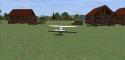
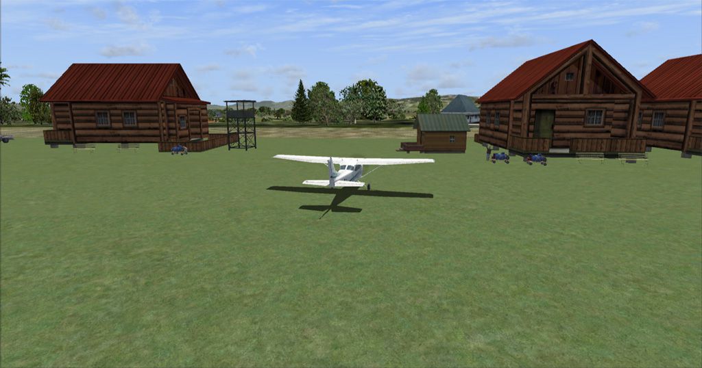
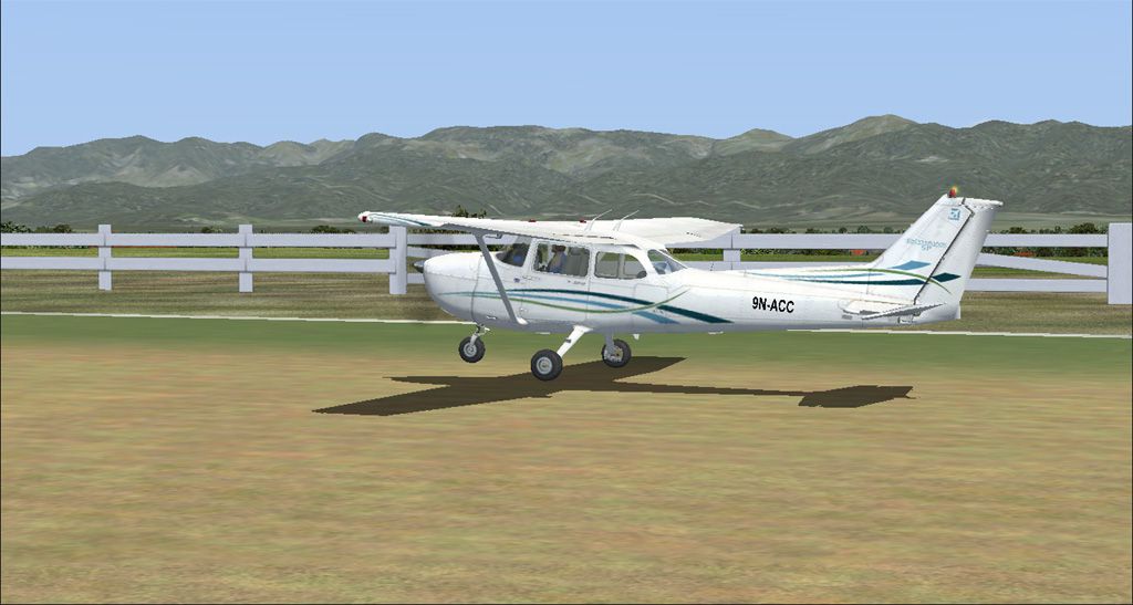
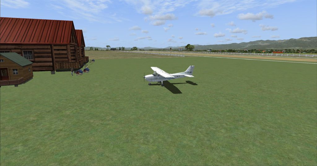
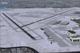
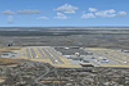
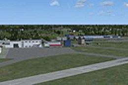
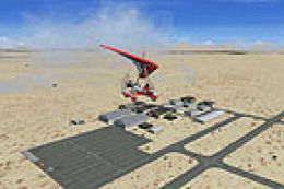
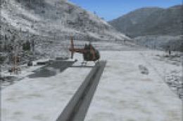
Meghauli Airport, Nepal. Meghauli (VNMG) airport/airfield is a small airport located near Chitwan National Park, Nepal. Scenery created with the help of ADE9X based on Google Earth images with additional objects like birds, buildings and static aircraft, etc. By Saurav Pokhrel.
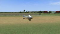
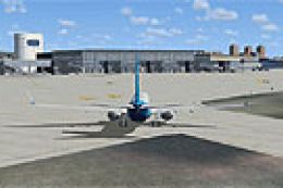
Screenshot of plane on a dirt runway.
Meghauli Airport files installation:
Open the folder containing the scenery add-on,
Simply COPY and PASTE the Scenery folder into your Add-On Scenery folder in Flight Simulator X directory.i.e, Flight Simulator X/Addon Scenery/
Or you can use your own add-on folder if you like to.
Be sure there is no duplicate VNMG.bgl file in add-on folder before installation.
Uninstall: Simply remove/delete the VNMG_ADEX_SA.bgl and VNMG_ADEX_SA_CVX.bgl file from the add-on scenery folder.
Inside this package:
a. Screenshot = Some screenshots of the the airport
b. Scenery = Contains the scenery files.
c. README.TXT = This file
Acknowlwdgement:
Airport Design Editor by Jon Masterson.
This scenery is freeware.
The author of this add-on is not responsible for any damage that may result from its installation or use.
Happy Flying!!

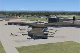
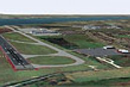
Screenshot of Meghauli Airport Scenery.
Images & Screenshots

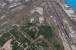
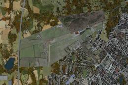
Finding the Scenery
- FSX/Prepar3D Coordinates:
-
27.57740000,84.22800000
Use the downloaded flight plan file by launching FSX/P3D, selecting "Load Flight Plan" in the flight planner, and choosing the .pln file. Your aircraft will be positioned directly at the add-on’s location. - Decimal Degrees (DD):
-
Latitude: 27.577400°
Longitude: 84.228000° - Degrees, Minutes, Seconds (DMS):
-
Latitude: 27° 34' 38.640" N
Longitude: 84° 13' 40.800" E
Map Location
The archive meghauli-vnmg.zip has 13 files and directories contained within it.
File Contents
This list displays the first 500 files in the package. If the package has more, you will need to download it to view them.
| Filename/Directory | File Date | File Size |
|---|---|---|
| Meghauli[VNMG] | 03.22.11 | 0 B |
| README.txt | 03.31.11 | 2.43 kB |
| Scenery | 03.22.11 | 0 B |
| VNMG_ADEX_SA.BGL | 03.22.11 | 3.51 kB |
| VNMG_ADEX_SA_CVX.bgl | 03.22.11 | 243 B |
| Screenshots | 03.22.11 | 0 B |
| meghauli-1.jpg | 03.22.11 | 162.23 kB |
| meghauli-2.jpg | 03.22.11 | 169.59 kB |
| meghauli-3.jpg | 03.22.11 | 183.64 kB |
| meghauli-4.jpg | 03.22.11 | 170.31 kB |
| Meghauli[VNMG].gif | 03.22.11 | 7.55 kB |
| flyawaysimulation.txt | 10.29.13 | 959 B |
| Go to Fly Away Simulation.url | 01.22.16 | 52 B |
Installation Instructions
Most of the freeware add-on aircraft and scenery packages in our file library come with easy installation instructions which you can read above in the file description. For further installation help, please see our Flight School for our full range of tutorials or view the README file contained within the download. If in doubt, you may also ask a question or view existing answers in our dedicated Q&A forum.
0 comments
Leave a Response