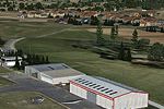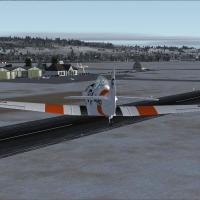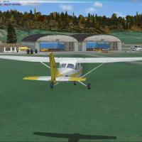
Scenery Of LFGW Verdun-Le Rozelier
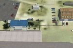
FSX and FSXA pilots flying French sectors will find this LFGW Verdun-Le Rozelier add-on useful, featuring photoreal ground imagery with spring-through-winter variants, night maps, accurate landclass for Verdun, dual parallel runways (asphalt plus turf), custom SketchUp hangars, animated windsock, static general-aviation traffic, nearby industries and roadside amenities, all compiled for seamless integration into Microsoft Flight Simulator X.

- 7.87 MB

- 478