Page 7
Searches the whole library — filter by sim & category on the results page
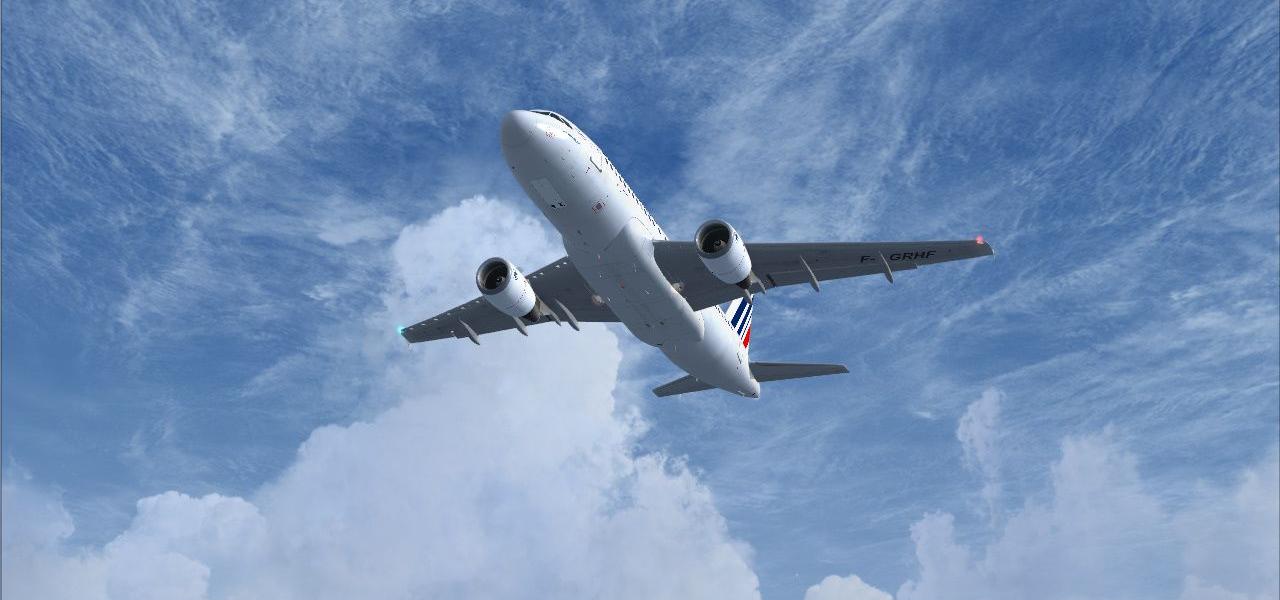
An adjustment enables Jetways for the A318 models from iFDG and Project Airbus, credited to Bob Lykins. It applies to aircraft that run within the simulator environment, including the A318 variants…
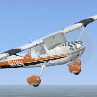
Eight variants present blade tips in colors such as red, yellow, green, blue, purple, orange, red-white-and-blue, or plain to match the Fravin C150L. They reduce opacity to invisibility and require…
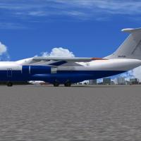
Flight plans cover Gira Globo's sole IL-76 D2-FCO, based in Luanda, and reference the aircraft's D2-FCO registration. Antoine Calleja for Globusworld authors the material, carrying the creator's na…
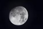
The default 64x64 BMP moon images are replaced with 512x512 BMPs, and the alpha channel is swapped for higher-resolution imagery, updating the moonX.bmp files. A backup of the original moonX.bmp in…
By Doug Wells, this item centers on a .bgl file that pairs a .agn file showing the default library objects, organized into five categories. It enables viewing directly in the autogen folder.
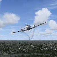
Merlin III receives a subtle engine smoke display, implemented via the fx_smoke_f6.fx file and a pair of SMOKESYSTEM entries in the aircraft’s configuration, smoke.0 and smoke.1, both pointing to f…
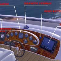
By Robert Waszkiewicz of Deltasim Studio, this extended and improved version of Sirocco LT features a full functional 3D virtual cockpit with custom gauges and moving parts, plus very detailed mari…
 Base Model
The Jeep ATV model enables off-runway use and includes a concise note urging respectful conduct toward fellow simmers. The guidance specifies avoiding runways while in use and directs users to head…
A PDF tutorial targets PMDG's Boeing 737NGX, with instructions specific to that model and potentially usable with other 737NG-type add-ons, by Tom Risager. Unlike the main NGX documentation, the gu…
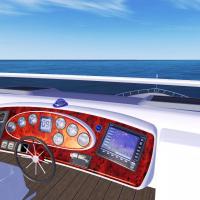
By Robert Waszkiewicz of Deltasim Studio, the model offers a full functional 3D virtual cockpit, moving parts, and custom gauges, reflecting careful attention to cockpit realism and instrument plac…
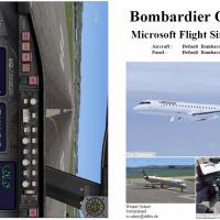
Werner Schott delivers a printable PDF manual for the CRJ700, guiding operations from cold-and-dark to shutdown with sections on pre-start checks, engine start, taxi, takeoff, cruise, descent, and …
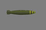
Phill Stokes creates a droppable payload that serves as an alternative to flour bombs, with permission from Bruce Fitzgerald and tied to registration N322DW. The item resides in SimObjects/Misc, fe…
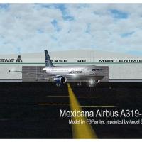
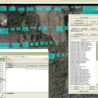
Angel Salazar delivers a Mexican AI traffic assembly featuring 327 aircraft in detailed markings, with flight plans covering major carriers such as Aeromexico, Mexicana de Aviacion, and Volaris. It…
By Richard Asberg, this flow for the PMDG 737NGX presents a compact memory aid tailored for use with add-on automation, assuming prior knowledge of the aircraft and its setup. The author saves the …
Stephen Ballard provides a BMP asset that enhances black smoke effects. It carries the file name FX_1.bmp and is described as a new visual-effects option, with the format clearly identified as BMP …
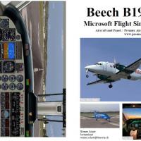
A comprehensive PDF by Werner Schott compiles procedures for the Beechcraft B1900D, drawing on Premier Aircraft Design’s model and noting a nineteen-passenger capacity. It guides cold-and-dark star…
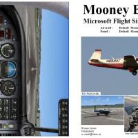
Compiled by Werner Schott, this Mooney Bravo reference guides operations from dark-and-cold readiness through engine start, taxi, takeoff, cruise, descent, and securement, and it emphasizes manifol…
 Base Model
Eleven F-111s enter Australian skies, eight at RAAF Amberley (YAMB) and three at RAAF East Sale (YMES). Units 4-1SQN, 4-6SQN, and 3-ARDU operate, some AI travel along the eastern seaboard, an AI ti…
An attached object named bomb_c sits in SimObjects/Misc, while the mission SDK effect for it goes in the effects folder. Any .mdl file can be dropped if converted into a simpleobject, and Bruce Fit…
Four-page tutorial outlines steps to optimize and accelerate any PC, drawing on free software and revised operating system settings. It adds guidance on preventing the blue screen of death and carr…