FSX Barking Sands PMRF Airport Scenery
Barking Sands PMRF Airport scenery refreshes PHBK and nearby Port Allen PHPA on Kauai, restoring the closed runway and improving the airfield environment with added buildings, static aircraft, and enhanced runway lighting. Designed for FSX, it keeps existing spawnable helipads intact while delivering a livelier, more complete Hawaiian airport experience.


 United States of America
 - File: pak_phbk.zip
- Size:249.85 KB
- Scan:
Clean (17d)

- Access:Freeware
- Content:Everyone
Scenery Barking Sands PMRF Airport (BKH / PHBK) and Port Allen Airport (PAK / PHPA), Hawaii (HI). Reopens runway on PHBK and adds some aircraft and buildings to both.
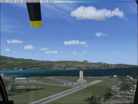
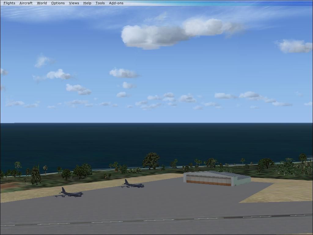
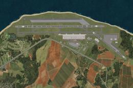
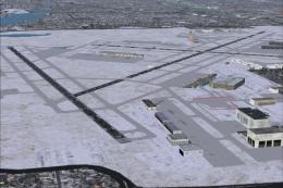
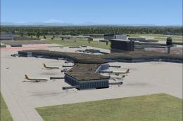
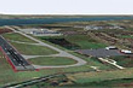
View from the air, of Barking Sands PMRF Airport Scenery.
Add on scenery for Barking Sands (PHBK) and Port Allen (PAK) on kaui. (opposite of my lihue scenery).
Reopens runway on PHBK and adds some aircraft and buildings to both.
Also adds runway lights. Spawnable Helipads kept as is.
Just insert both .bgl files into add on scenery/scenery and load fsx.
This is freeware and I assume no responsibility.
Enjoy!
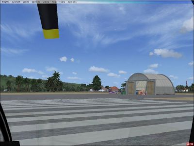
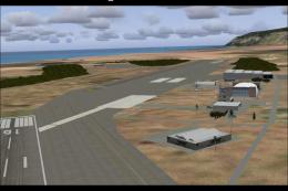
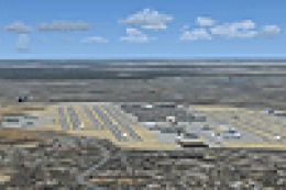
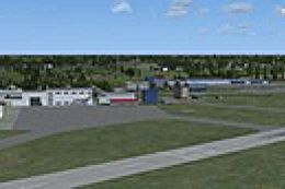
View from the ground, of Barking Sands PMRF Airport Scenery.
Images & Screenshots

Finding the Scenery
- FSX/Prepar3D Coordinates:
-
22.02280000,-159.78500000
Use the downloaded flight plan file by launching FSX/P3D, selecting "Load Flight Plan" in the flight planner, and choosing the .pln file. Your aircraft will be positioned directly at the add-on’s location. - Decimal Degrees (DD):
-
Latitude: 22.022800°
Longitude: -159.785000° - Degrees, Minutes, Seconds (DMS):
-
Latitude: 22° 01' 22.080" N
Longitude: 159° 47' 06.000" W
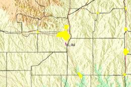
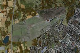
Map Location
The archive pak_phbk.zip has 10 files and directories contained within it.
File Contents
This list displays the first 500 files in the package. If the package has more, you will need to download it to view them.
| Filename/Directory | File Date | File Size |
|---|---|---|
| PAK&PHBK | 08.23.10 | 0 B |
| PAK1.jpg | 08.23.10 | 78.50 kB |
| Pak2.jpg | 08.23.10 | 72.38 kB |
| PAK_ADEX_SD.BGL | 08.23.10 | 2.39 kB |
| PHBK1.jpg | 08.23.10 | 53.15 kB |
| PHBK2.jpg | 08.23.10 | 61.11 kB |
| PHBK_ADEX_SD.BGL | 08.23.10 | 4.39 kB |
| readme.txt | 08.23.10 | 366 B |
| flyawaysimulation.txt | 10.29.13 | 959 B |
| Go to Fly Away Simulation.url | 01.22.16 | 52 B |
Installation Instructions
Most of the freeware add-on aircraft and scenery packages in our file library come with easy installation instructions which you can read above in the file description. For further installation help, please see our Flight School for our full range of tutorials or view the README file contained within the download. If in doubt, you may also ask a question or view existing answers in our dedicated Q&A forum.
0 comments
Leave a Response