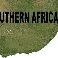
Landclass For Southern Africa Scenery Update 5
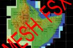
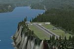
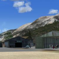
Landclass For Southern Africa Update 5 refreshes Namibia, Botswana, Mozambique, Zimbabwe and the Free State, Northern Cape and Lesotho fringe, aligning shorelines, hydro polygons, terrain textures and urban footprints with authentic satellite DEMs; tuned for FSX yet compatible with P3D, it merges with Aeroworx mesh for coherent VFR navigation from Kimberley to Upington and Gariep.

- 1.27 MB

- 872

- 1