 FSX AFCAD Files
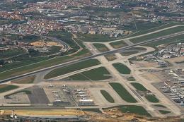
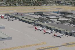
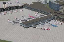
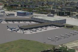
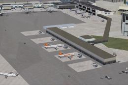
AFCAD File For LPPT
Elevate Microsoft Flight Simulator X with a refined rendition of Lisbon Inter…
GCFV Puerto del Rosario Airport elevation correction refines runway and ground alignment in the Canary Islands by lowering the field from 140.82 meters to 20 meters for a cleaner fit with default terrain in FSX. Built with Airport Design Editor, it integrates smoothly with common AI traffic and scenery environment enhancements.
Puerto Rosario, Canary Islands, Spain. Changes the airport elevation to better visually align with the default scenery. By Dan Reynolds.
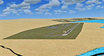
Screenshot of Puerto Rosario, Canary Islands.
This AFCAD file changes only the elevation of the airport from 140.82 meters to 20 meters which visually seems to be a good compromise with the FSX default scenery.
Airport Design Editor (ADE), version 1.37.05 was used for the project. Thanks to Jon (Scruffyduck) for a great product. The project has been tested with World of AI, Ultimate Terrain X (UTX) and Ground Environment X (GTX).
Installation:
Dan Reynolds
Free for all simmers · 5.97 KB · Scanned clean Jul 2026
Download speed: Free tier is capped at 0.5 Mbps. PRO members download at full line speed.
AF2_*.bgl or AFX_*.bgl) go into FSX\Addon Scenery\Scenery\ or a dedicated AFCAD folder you create.readme.txt or README file. It tells you exactly where files go, what dependencies are needed, and any quirks specific to this add-on.Use these coordinates to fly directly to this location once the mod is installed.
28.45270000,-13.86420000
Launch FSX or Prepar3D and use Flights → Load to open the downloaded .pln file. Your aircraft will be positioned at this location.
The archive gcfv_cor.zip has 6 files and directories contained within it.
This list displays the first 500 files in the package. If the package has more, you will need to download it to view them.
| Filename/Directory | File Date | File Size |
|---|---|---|
| GCFV_ADE_DKR_CVX.bgl | 02.19.09 | 384 B |
| GCFV_ADE_DKR.BGL | 02.19.09 | 8.86 kB |
| GCFV_ADE_DKR_ALT.BGL | 02.19.09 | 402 B |
| GCFV_readme.txt | 02.22.09 | 774 B |
| flyawaysimulation.txt | 10.29.13 | 959 B |
| Go to Fly Away Simulation.url | 01.22.16 | 52 B |
Only PRO members can place votes.
More FSX & P3D add-ons hand-picked based on this download.
FSX AFCAD Files
Elevate Microsoft Flight Simulator X with a refined rendition of Lisbon Inter…
 FSX AFCAD Files
John F. Kennedy International Airport, New York, NY, USA, v2. This airport up…
 FSX AFCAD Files
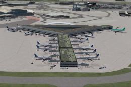
Dubai International Airport, United Arab Emirates (UAE). This airport update …
 FSX AFCAD Files
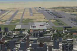
Los Angeles International Airport (LAX), California (CA), USA. This airport u…
 FSX AFCAD Files
This freeware package modernizes Zurich International Airport (LSZH) in Micro…
 FSX AFCAD Files
Lic Benito Juarez International Airport, Mexico City, Mexico. This airport up…
 FSX AFCAD Files
Enhance Kastrup Airport (EKCH) in Copenhagen, Denmark with this freeware upgr…
 FSX AFCAD Files
This enhanced update for Schiphol (EHAM) in Amsterdam focuses on reconstructi…
Be the first to leave a comment on this download.
Be the first to share your thoughts on this download.