Harbours for Southern Africa
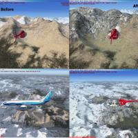
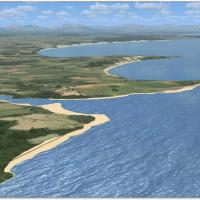
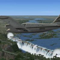
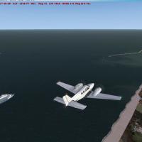
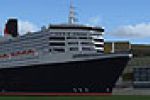
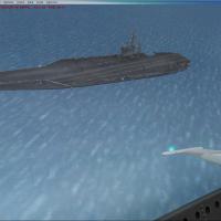
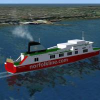
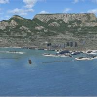
FSX Harbours for Southern Africa Scenery refines coastal ports, inland dams, and signature bridges from Bloukrans to Ruacana, pairing custom models with Aeroworx mesh for accurate elevations, solid frame-rates, and reliable VFR/IFR reference points across South Africa, Namibia, and Botswana—all tailored for Microsoft Flight Simulator X users seeking regional detail.

- 17.49 MB

- 791

- 2/5

- 1