 FSX Scenery
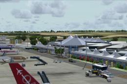
Princess Juliana International Airport
Princess Juliana International Airport (TNCM) in Saint Marteen, Netherlands A…
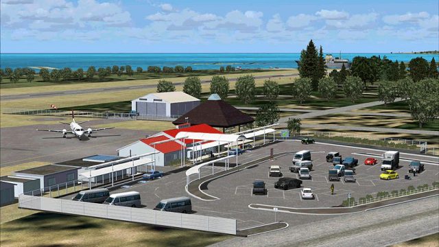
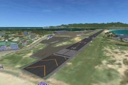
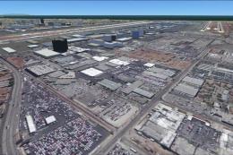
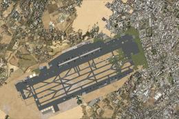
Kikai Airport (RJKI) brings Kagoshima Prefecture’s island airfield to life with tailored runway and apron layout, accurate placement, and environment details for believable coastal approaches and local GA operations. Designed by Shigeru Tomino for Microsoft Flight Simulator X, the scenery integrates cleanly with default terrain for smooth, immersive flying.

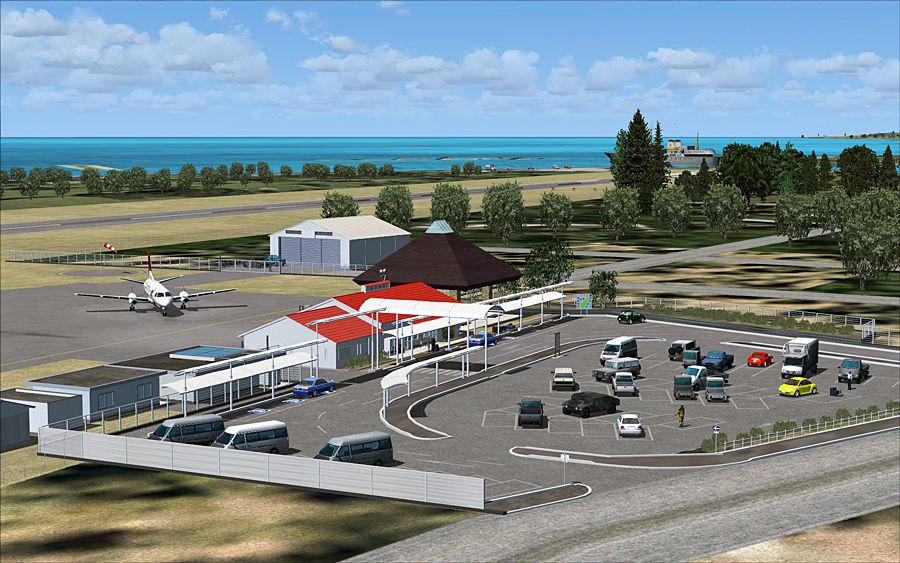
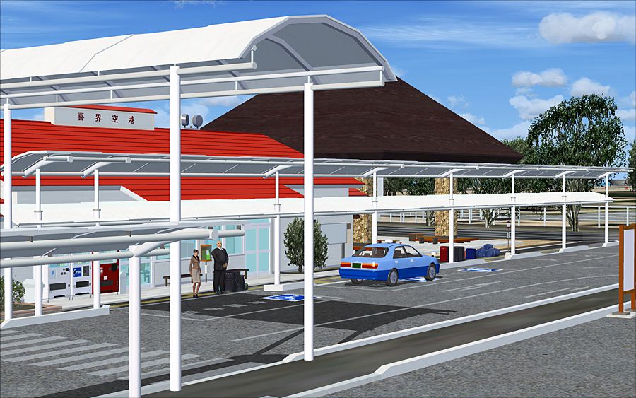
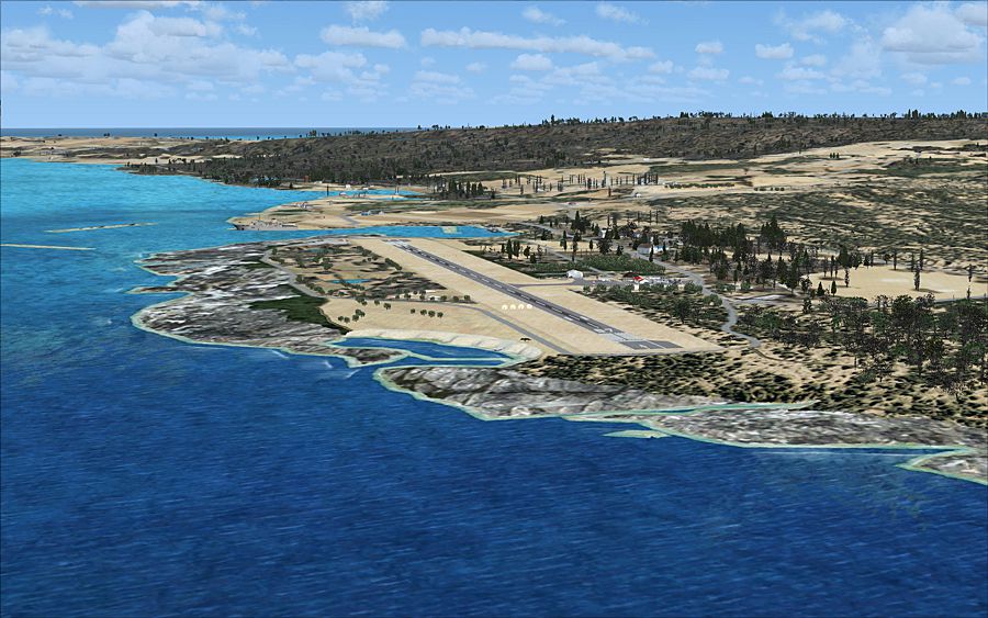
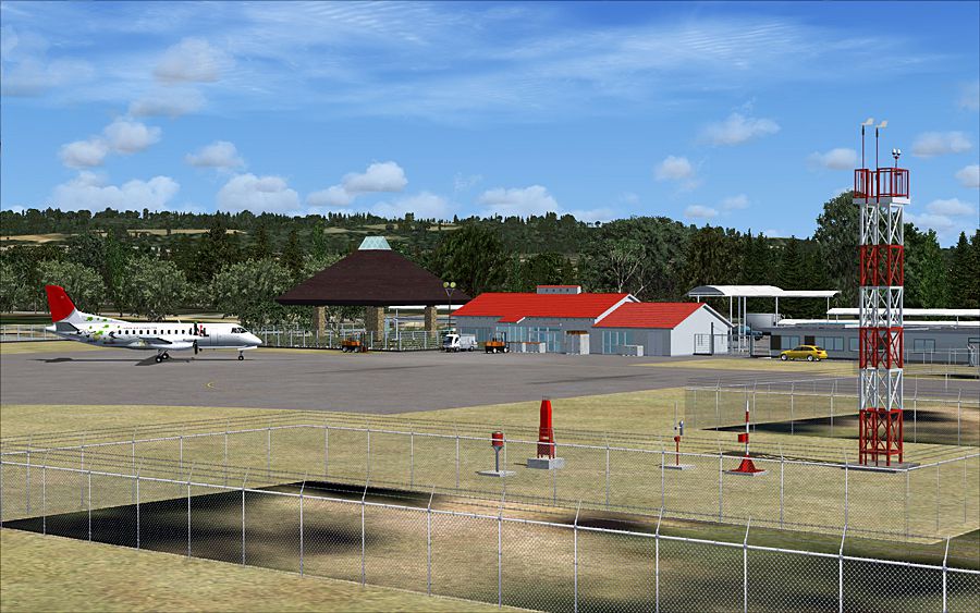
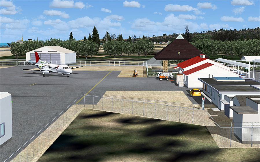
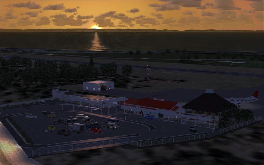
(RJKI), Kagoshima, Japan. By Shigeru Tomino - Lets Fly Association.

Aerial view of Kikai Airport scenery.
Free for all simmers · 13.88 MB · Scanned clean Jul 2026
Download speed: Free tier is capped at 0.5 Mbps (this file takes approximately 4 mins at the cap). PRO members download at full line speed.
FSX\Addon Scenery\ containing scenery and texture sub-folders.readme.txt or README file. It tells you exactly where files go, what dependencies are needed, and any quirks specific to this add-on.Use these coordinates to fly directly to this location once the mod is installed.
28.32130000,129.92800000
Launch FSX or Prepar3D and use Flights → Load to open the downloaded .pln file. Your aircraft will be positioned at this location.
The archive fsx_rjki_fs_v300.zip has 14 files and directories contained within it.
This list displays the first 500 files in the package. If the package has more, you will need to download it to view them.
| Filename/Directory | File Date | File Size |
|---|---|---|
| fsx_kikai_v300.gif | 11.23.12 | 236.95 kB |
| FSX_RJKI_Kikai_V300_BasePack_US.msi | 11.11.12 | 5.93 MB |
| FSX_RJKI_Kikai_V300_OptionPack_US.msi | 11.11.12 | 96.50 kB |
| fsx_rjki_v3-01.jpg | 11.23.12 | 584.04 kB |
| fsx_rjki_v3-02.jpg | 11.23.12 | 584.90 kB |
| fsx_rjki_v3-03.jpg | 11.23.12 | 555.78 kB |
| fsx_rjki_v3-04.jpg | 11.23.12 | 572.60 kB |
| fsx_rjki_v3-05.jpg | 11.23.12 | 538.15 kB |
| fsx_rjki_v3-06.jpg | 11.23.12 | 342.69 kB |
| LFA_Scenery-04.pdf | 11.23.12 | 745.85 kB |
| RJKI_V300_Readme-1_E.pdf | 11.21.12 | 1.65 MB |
| RJKI_V300_Readme-1_J.pdf | 11.21.12 | 3.66 MB |
| flyawaysimulation.txt | 10.29.13 | 959 B |
| Go to Fly Away Simulation.url | 01.22.16 | 52 B |
Only PRO members can place votes.
More FSX & P3D add-ons hand-picked based on this download.
FSX Scenery
Princess Juliana International Airport (TNCM) in Saint Marteen, Netherlands A…
 FSX Scenery
Los Angeles Airport Scenery v3, California (CA). This photoreal scenery is a …
 FSX Scenery
Barbados International Airport (TBPB). Grantley Adams International Airport f…
 FSX Scenery
Paris Charles de Gaulle Airport (CDG, LFPG), France. The entire airport has b…
 FSX Scenery
John F. Kennedy Airport (KJFK), New York, NYU. This is a photoreal scenery re…
 FSX Scenery
Dubai International Airport (OMDB), Dubai. Includes a new passenger terminal …
 FSX Scenery
Soekarno-Hatta International Airport (WIII), Jakarta, Indonesia. An update to…
 FSX Scenery
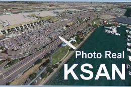
San Diego International Airport, California (CA), USA. This photoreal scenery…
Be the first to leave a comment on this download.
Be the first to share your thoughts on this download.