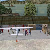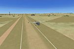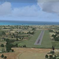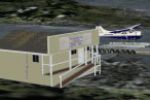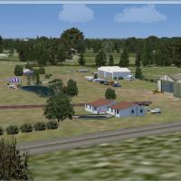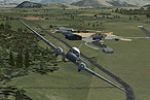
Northern Namibian Airfields Scenery Fixed
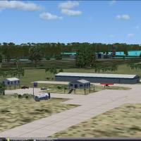
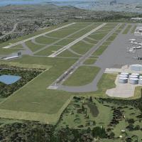
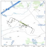
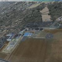
Airfields in the Namibian north include Grootfontein, Ondangwa, Rundu and Katima Molilu, built from standard base elements and paired with four bgl files: AFX_FYGF_ALT.bgl, AFX_FYOA_ALT.bgl, AFX_FYRU_ALT.bgl, and AFX_FYKM_ALT.bgl, by Jacques Botha. The distribution comes as Grensbasis.zip, featuring the SAAF bases Namibia directory and the four bgl files.

- Namibia

- 99 KB

- 284

- 2