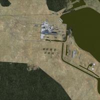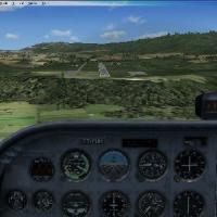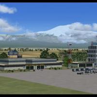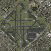
Seattle-Tacoma International
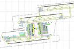
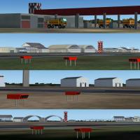
Dan Downs reworks Seattle-Tacoma's runway designations to reflect current configurations, such as 16R/34L becoming 16C/34C, and positions every runway, taxiway, and shoulder to real-world coordinates using ksea_asbuilt.bgl. Localizers, glideslopes, DME, and PAPI align with FAA data, while Dan Downs repositions jetways and parking spots to complement the new layouts.

- United States of America

- 5.01 MB

- 1.5K

- 5/5

- 24