Victoria Canada Area Scenery (All Parts)
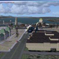
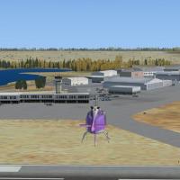
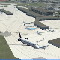
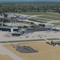
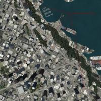
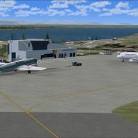
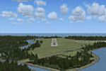
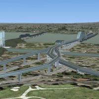
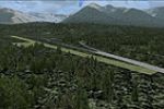
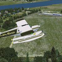
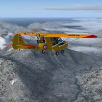
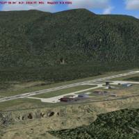
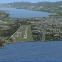
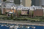
This regional package covers Victoria BC, the adjacent Southern Gulf Islands and the U.S. San Juan chain, delivering refined landclass, high-resolution mesh, custom autogen, detailed airports, floatplane and heli facilities, road and rail vectors, plus AI marine and seaplane traffic, fully compatible with UTX in FSX.

- 115.89 MB

- 1.8K

- 3/5