Page 5
Searches the whole library — filter by sim & category on the results page
Covering CYGR Iles-de-la-Madeleine Airport in FSX, this Canadian add-on refines the Havre-aux-Maisons apron, five GA stands and adjoining vehicle lot, aligning layout with current NAV Canada data a…
 2.75 MB
 388Dec 2011
 5
5
Updated CYTR layout for FSX / Microsoft Flight Simulator X aligns runways and taxi routes to current satellite data, closes 13/31 per NOTAM, removes Quinte Terminal civil stands, adds RCAF spots fo…
115.6 KB382Jun 20122
Covering CYCD, this Microsoft Flight Simulator X add-on re-creates Nanaimo-Collishaw Airport with precise terminal geometry, custom ground polygon work, revised landclass for Vancouver Island's for…
3.15 MB379Dec 2011 2/55
2/55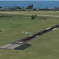
FSX pilots needing a lightweight freeware add-on will appreciate this Kingston Airport (CYGK) enhancement for Ontario: default-library assets refresh apron markings, generic hangars, taxiway signs,…
101.4 KB377Dec 20111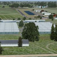
Covering St-Hyacinthe Aerodrome (CRM3) in southern Québec, this FSX/Acceleration scenery refreshes apron geometry with a revised AFCAD, default-library hangars, photoreal vegetation and the signatu…
29.42 MB374Nov 20122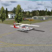
CYCD Nanaimo Airport for FSX refreshes Vancouver Island’s east-coast hub with an up-to-date terminal, north- and south-side maintenance hangars, restored closed taxiway links, proper oval landside …
1.29 MB348Dec 20116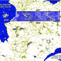
Covering the N55–N57, W66–W78 swath of eastern Canada, this FSX add-on rewrites Quebec’s lake chains, rivers and shorelines with accurate hydro polygons, waterclass and coastal vector data derived …
31.7 MB346Nov 20113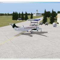
CYAZ Tofino Airport for Microsoft Flight Simulator X reinstates the overlooked control tower, restructures apron and parking logic with a dedicated SAR helipad and GA spots off taxiway Foxtrot, and…
531.86 KB343Dec 20114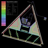
Serving FSX flyers exploring Canada’s polar region, CFB North Star v7 slots a fictional arctic military-commercial hub at CYNS, offering three switchable scenery profiles, triple intersecting runwa…
14.9 MB337Mar 20126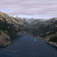
This freeware FSX add-on refreshes Stewart Airport (CZST), British Columbia, integrating Ultimate Terrain Canada data to refine shoreline vectors, hydrology, landclass palettes, and runway geometry…
131.91 KB333Nov 20111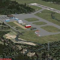
CYXC Cranbrook Airport for Microsoft Flight Simulator X refreshes Vern Opperman’s respected FS2004 scenery with ADE-converted AFCAD, SBuilderX-reworked ground polygons, accurate elevation data, sea…
624.7 KB332Dec 20114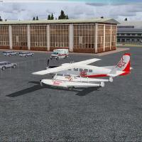
Updated CZBB Boundary Bay Airport scenery for Microsoft Flight Simulator X refines the stock layout with geo-corrected terminals, fuel farm, flight-school apron and GA ramp, reflecting current Cana…
367.56 KB323Dec 20111/54
CYXT Terrace Airport for FSX refreshes this northern British Columbia hub with ADE-driven runway 15/33 stretching to 7,500 ft, recalibrated 03/21 thresholds, retired Skeena NDB, realigned VASIS, up…
81.34 KB318Dec 2011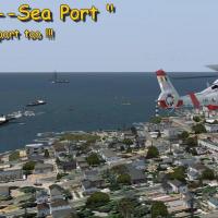
Gera Godoy Canova’s FSX “Your Own Sea Port Part II” adds a dual-runway coastal hub to Canada, pairing a turf strip, concrete runway, lighted hospital helipad and floatplane dock with animated AI sh…
900.66 KB309Nov 20115/55Upgrades Canada’s CFB Halifax Shearwater (CYAW) in Nova Scotia for FSX, rebuilding runway 10/28 geometry, correct parking for CH-148 Cyclone operations, redeveloped aprons, revised taxiway lighting…
6.88 KB303Dec 2011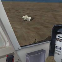
Covering Paulatuk, Northwest Territories, this Microsoft Flight Simulator X / FSX scenery download plants the CCGS Amundsen icebreaker at 69°23.45′N 124°03.44′W, delivers a fly-able helideck, Zodia…
5.91 MB301Nov 20114/59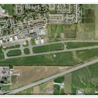
Serving Microsoft Flight Simulator X flyers exploring British Columbia, this CYCW package refreshes Chilliwack Municipal Airport with extra maintenance aprons, missing service hangars, corrected ru…
893.97 KB300Dec 20115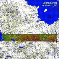
Boosts Microsoft Flight Simulator X with a 38 m LOD10 terrain mesh covering 56–57° N and 66–77° W in Quebec, Canada, providing refined Laurentian plateaus, river valleys and shoreline contours gene…
21.61 MB298Nov 20111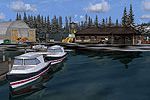
Remote IPBB Bush Camp adds a floatplane-friendly water aerodrome at 3440 ft AMSL on an unnamed British Columbia lake near Telegraph Creek, complete with selectable ICAO IPBB starts, NDB PBB (356 kH…
6.17 KB291Nov 20111/5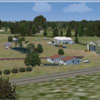
Covering the Saint-Hyacinthe corridor in Quebec, this Microsoft Flight Simulator X scenery enhancement models CSD3 St-Dominique Airfield with a refined AFCAD, default/Acceleration object library in…
9.42 MB289Nov 20121/54