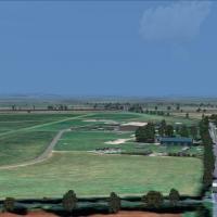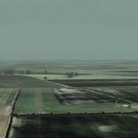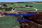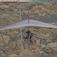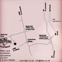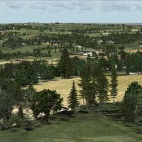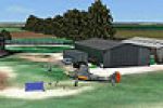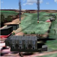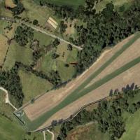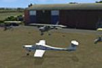
Cheshire Microlight School
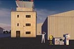
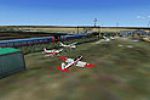
Arclid’s grass strip, base of Cheshire Microlight School in rural Cheshire, is reproduced for FSX in this freeware scenery add-on, blending photoreal ground textures, custom autogen, hand-placed hangars, accurate 02/20 turf runway markings and nearby A50 traffic, giving UK VFR pilots a solid navigation reference when flying ultralight circuits or cross-country legs in Microsoft Flight Simulator X.

- 3.37 MB

- 139