Page 6
Searches the whole library — filter by sim & category on the results page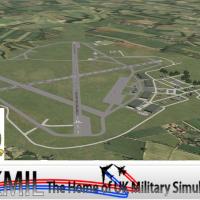
RAF Linton-on-Ouse scenery for Microsoft Flight Simulator X upgrades the North Yorkshire Royal Air Force station with photoreal textures, custom ACG hangars, refined ground polygons, correct taxiwa…
Covering Stapleford Aerodrome EGSG, this FSX-specific add-on integrates Object Placement Tool, ADE v1.50 and tailored landclass polygons to align runways, aprons and local topography with Google Ea…

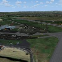
Built for Microsoft Flight Simulator X Acceleration SP2, this FSX add-on models the Mach Loop military training route, placing static spotters on Cad East, Cad West and the Bwlch, supplying custom …
FSX and Prepar3D flyers gain a refreshed AFCAD for London Biggin Hill EGKB that reshapes aprons via current satellite data, refines taxiway surface mapping, adds GA, corporate and occasional milita…
Cover London’s active Battersea heliport (EGLW) with this focused FSX SP2 add-on, presenting photoreal pad markings, refined Thames-bank elevation data, discreet night lighting and tight approach c…
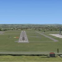
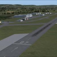
For flight sim pilots navigating southwest England in Microsoft Flight Simulator X, this scenery add-on's fictional upgrade of Exeter Airport (EGTE) extends runway 08/26 to roughly 7 080 ft, insert…
Gloucestershire Airport EGBJ v1.2 for FSX refines the Cheltenham–Staverton hub with photorealistic ground imagery, precise runway lighting alignment, and native-format AI schedules that inject real…
Covering Blackbushe EGLK, Bourn EGSN and North Coates EG0E, Alf Denham’s Volume 19 scenery pack add-on for Microsoft Flight Simulator X refreshes default British GA fields through revised landclass…
FSX-only package enhances overlooked UK aerodromes, adding fresh landclass, ADE-generated excludes and generic library objects to EGTB Booker (plus Rwy12 variant) and EGST Elmsett, all geo-referenc…
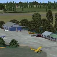
Old Warden EGTH, home to the Shuttleworth Collection, gains a revised FSX layout with photoreal building models captured on-site, corrected ICAO data, hand-tuned landclass plus optional BGL package…

This freeware scenery add-on refreshes three under-represented UK GA aerodromes—Audley End (X3AE), Beccles EGSM and Gamston/Retford EGNE—by adding bespoke FSX SP2-compatible models, supplementary l…
Newtownards Airfield (EGAD) adds a photo-referenced Ulster Flying Club base to FSX SP2/Acceleration, bringing custom Gmax hangars, bespoke runway textures, accurate apron layout, dynamic GA traffic…
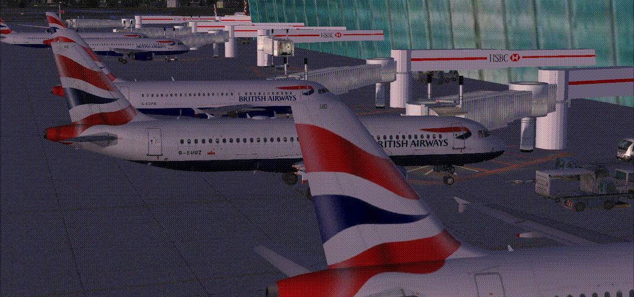
Revised AFCAD for London City Airport (EGLC) aligns gate numbering with Jeppesen charts, corrects parking headings for AI traffic, and tweaks the short 09/27 runway slope, delivering a UK scenery u…

Duxford Airfield for FSX SP2/Acceleration adds the historic Cambridgeshire museum base with custom Dave Garwood hangars, textured ground polys, accurate nav aids and AI flightplans that loop twin D…
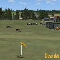
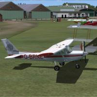
Freeware scenery mod for Microsoft Flight Simulator X refreshes Caernarfon EGCK, Deanland EGKL and Perranporth EGTP with revised AFCAD data, sharper runway markings, default-library hangars, static…
This AFCAD upgrade for EGNT Newcastle Airport, North-East England, restructures gate numbering, reallocates stands, refines taxiway links, and inserts a fuel storage zone plus on-airport fire stati…
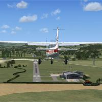
Set amid the rolling Surrey countryside, this Dunsfold (EGTD) scenery add-on for Microsoft Flight Simulator X/Acceleration refreshes the United Kingdom GA airfield with an accurately scaled 07/25 r…
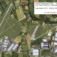
This UK set—FSX Alfs Airfields Volume 25—updates Sywell (EGBK) for Flight Simulator X, adding the recently laid concrete runway, updated PAPIs, refined landclass and bespoke structures crafted in I…
Focused on the United Kingdom’s smaller strips, Alf’s UK Airfields Volume 11 for FSX refreshes Sheffield City (EGSY), Sutton Bank glider field (XSUT) and Welshpool (EGCW) with custom buildings, acc…
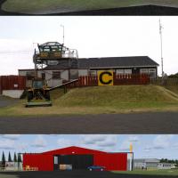
Aberdeen Dyce EGPD for Microsoft Flight Simulator X overhauls the stock United Kingdom airport using ADE, matching taxiway geometry, stands and ground markings to current ortho-imagery, inserting a…