Victoria Canada Area Scenery (All Parts)
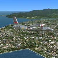
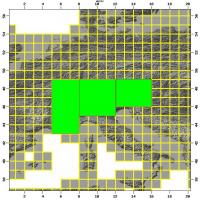
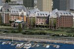
A coverage of the Victoria area in Canada, including the Southern Gulf Islands and the San Juan Islands to the US, presents landclass, mesh, buildings, roads, airports, floatplane bases, heliports, rails, AI floatplanes, cruise ships and boats. UTX compatible, by Don Grovestine, Jon Patch and Holger Sandmann, Part 1 of 2.

- Canada

- 115.89 MB

- 1.8K

- 3/5