Page 54
Searches the whole library — filter by sim & category on the results page
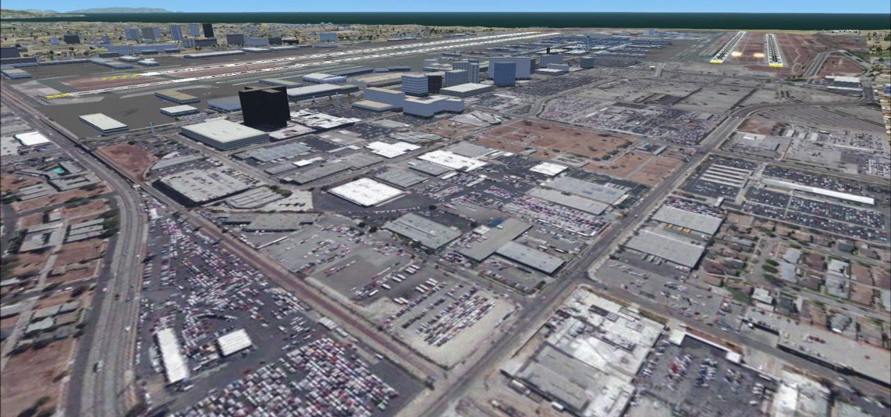
FSX pilots browsing the United States scenery list will find this Willows-Glenn County Airport (KWLW) redevelopment handy: Northern California runways, taxiways and aprons shifted to true coordinat…

Watsonville Municipal Airport KWVI gains a practical overhaul for Microsoft Flight Simulator X with this Clear Sky Simulations AFCAD: revised runway thresholds, corrected hold-short nodes, realisti…
Positioned in Big Horn County, Fairgrounds Airpark (F02) for FSX receives a scenery upgrade featuring full runway lighting arrays, published ILS, marked parking bays, service vehicles, and heli pad…
This free AFCAD update rebuilds Visalia Municipal Airport (KVIS) for Microsoft Flight Simulator X with revised taxiway geometry, corrected parking codes, realistic traffic flow, and default-library…
Covering Ohio Regional Airport (KORA) at Orrville, this FSX scenery add-on injects accurate runway profiles, updated taxiway layout, custom hangars, photoreal ground polys, dynamic night lighting, …
Covering Martin Campbell Field Airport (1A3) in Copperhill, Tennessee, this FSX add-on scenery refreshes the GA strip with corrected runway 3/21 length, revised taxi linkage, updated lighting and l…

FSX Elbert County-Patz Field (27A) brings Elberton, Georgia’s GA strip into sharper relief with corrected AFCAD data, detailed taxiways, photoreal ground polys, accurate runway edge lighting and en…
Newton Airport 3N5 scenery for FSX portrays the modest Sussex County airfield south of Newton, New Jersey, with geo-referenced asphalt, summer-only tree lines and a dusk-dark field suited to VFR ci…

Covering KFAM – Farmington Regional Airport in Missouri – this FSX scenery layer refines aprons, adds basic autogen structures, custom ramp lighting, and accurate runway markings that replace stock…
Pilots flying U.S. domestic GA hops can add KXSA Tappahannock-Essex County Airport to Microsoft Flight Simulator X with this lightweight scenery, which introduces an updated AFCAD, terminal model s…
FSX Alpine Airfield scenery refines this California back-country strip with corrected elevation data, sharper photoreal ground polygons, custom vegetation libraries, and precise runway geometry sui…
Updated AFCAD for De Smet Wilder Municipal (6E5), South Dakota, revises runway geometry, corrects apron edges and refreshes building footprints for a tidier default FSX layout; ADE-compiled BGLs sl…
This FSX add-on recreates the decommissioned Marlboro Airport 2N8 in Matawan, New Jersey, mirroring its 2002 closure with crossed-runway markings, stripped taxiways and open satellite-photo turf ma…
Riverside Airport (4B2) for Microsoft Flight Simulator X and FSX:Steam Edition recreates the long-gone general-aviation strip wedged between I-90 and the Erie Canal near Rome–Utica, New York, resto…

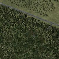
Garberville Airport (O16) scenery update for Microsoft Flight Simulator X applies corrected runway and taxiway geometry, revised AFCAD parking, and new stock-library objects to this Northern Califo…
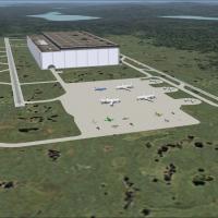
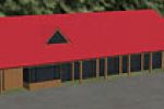
Maine’s fictional KHEP HE Production Facility add-on for Microsoft Flight Simulator X (FSX) installs a 50-storey aircraft manufacturing complex, 8 million ft³ in volume, 20 nm northwest of Bangor, …
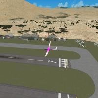
Created for Microsoft Flight Simulator X, Salton Sea Soaring Club (SSC1) drops a fictional glider strip into the arid basin between Borrego Springs and the Salton Sea, California, delivering custom…
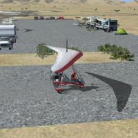
FSX rendition of Steve’s Airpark X (3AZ4) brings Quartzsite, Arizona’s private desert strip into Microsoft Flight Simulator X with tailored ground polys, photoreal terrain, corrected elevation, cus…
El Mirage Field (99CL) scenery refreshes the Mojave Desert airstrip with photo-real ground imagery, adjusted elevation mesh, custom dirt runway markings and matching autogen for compatible FSX SP1/…
Trinca Airport 13N scenery for Microsoft Flight Simulator X (FSX) depicts the 2,636-ft grass runway southwest of Andover, New Jersey, featuring bespoke hangar models, geo-referenced with Google ort…